
quelques infos à propos de OSM (OpenStreetMap)
www.openstreetmap.org/
OpenStreetMap = OSM (depuis 2004)
www.openstreetmap.org/
OpenStreetMap = OSM (depuis 2004)
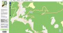
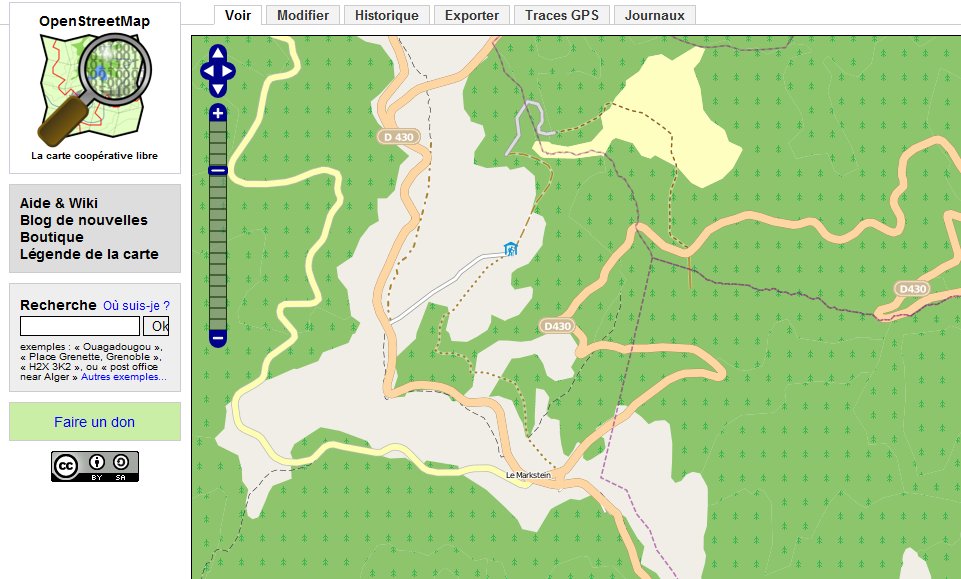
2009... vers le Markstein, il n'y a pas de lac ....
ajout de 2 lacs (lac du Ballon + lac de la Lauch)....
lac_vosges.kml (un .kml light!!) :-(
replace & par &
... cela donne :
lac_vosges2.kml (un .kml complet)
www.gpsvisualizer.com/convert .... pour convertir ".kml" vers ".gpx"
lac_vosges2.gpx
se connecter chez
www.openstreetmap.org
en tant que user be4 / ...o....
puis "modifier" (on se retrouve dans potlatch 1.3b)
Trace GPS
envoyer un fichier GPX ... lac_vosges2.gpx
... wait !!!
mail ....
failed to import. Here's the error:
Found no good GPX points in the input data. 75% of the trackpoints lacked a <time> tag.
ok, ajout elevation + time ...
ensuite dans Modifier, créer le contour
def.
XXXX water
name: lac du Ballon
natural: water
maintenant si !!!
merci pour l'astuce gmap - gpx !!
www.touraineverte.com broken
ajout de 2 lacs (lac du Ballon + lac de la Lauch)....
lac_vosges.kml (un .kml light!!) :-(
<?xml version="1.0" encoding="UTF-8"?>
<kml xmlns="http://earth.google.com/kml/2.2">
<Document>
<name>lac_vosges</name>
<description><![CDATA[lac lauch + ballon]]></description>
<NetworkLink>
<name>lac_vosges</name>
<Link>
<href>http://maps.google.fr/maps/ms?ie=UTF8&hl=fr&vps=1&jsv=196c&oe=UTF8&msa=0
&msid=105720757840456200690.00047b5f06a17ed717cf6&output=kml</href>
</Link>
</NetworkLink>
</Document>
</kml>
replace & par &
... cela donne :
http://maps.google.fr/maps/ms?ie=UTF8&hl=fr&vps=1&jsv=196c&
oe=UTF8&msa=0&msid=105720757840456200690.00047b5f06a17ed717cf6&output=kml
lac_vosges2.kml (un .kml complet)
<?xml version="1.0" encoding="UTF-8"?>
<kml xmlns="http://earth.google.com/kml/2.2">
<Document>
<name>lac_vosges</name>
<description><![CDATA[lac lauch + ballon]]></description>
<Style id="style1">
<LineStyle>
<color>40000000</color>
<width>3</width>
</LineStyle>
<PolyStyle>
<color>73FF0000</color>
<fill>1</fill>
<outline>1</outline>
</PolyStyle>
</Style>
<Style id="style2">
<LineStyle>
<color>40000000</color>
<width>3</width>
</LineStyle>
<PolyStyle>
<color>73FF0000</color>
<fill>1</fill>
<outline>1</outline>
</PolyStyle>
</Style>
<Placemark>
<name>lac Lauch</name>
<description><![CDATA[]]></description>
<styleUrl>#style1</styleUrl>
<Polygon>
<outerBoundaryIs>
<LinearRing>
<tessellate>1</tessellate>
<coordinates>
7.045552,47.935841,0.000000
7.045594,47.934856,0.000000
7.045745,47.934185,0.000000
7.045294,47.934296,0.000000
7.044168,47.934280,0.000000
7.042912,47.934200,0.000000
7.042269,47.934177,0.000000
7.041045,47.934582,0.000000
7.040960,47.934811,0.000000
7.040080,47.935265,0.000000
7.040112,47.935688,0.000000
7.040927,47.936539,0.000000
7.041625,47.936760,0.000000
7.041593,47.936882,0.000000
7.041904,47.936859,0.000000
7.042290,47.936523,0.000000
7.044210,47.936054,0.000000
7.045369,47.935833,0.000000
7.045552,47.935841,0.000000
</coordinates>
</LinearRing>
</outerBoundaryIs>
</Polygon>
</Placemark>
<Placemark>
<name>lac Ballon</name>
<description><![CDATA[]]></description>
<styleUrl>#style2</styleUrl>
<Polygon>
<outerBoundaryIs>
<LinearRing>
<tessellate>1</tessellate>
<coordinates>
7.095602,47.914478,0.000000
7.095988,47.914467,0.000000
7.096159,47.913998,0.000000
7.096395,47.913860,0.000000
7.096953,47.912910,0.000000
7.097232,47.912212,0.000000
7.097018,47.911713,0.000000
7.096674,47.911129,0.000000
7.096149,47.910805,0.000000
7.095430,47.910748,0.000000
7.094711,47.911041,0.000000
7.094035,47.911594,0.000000
7.093831,47.912567,0.000000
7.093885,47.913177,0.000000
7.094078,47.914101,0.000000
7.095505,47.914349,0.000000
7.095602,47.914478,0.000000
</coordinates>
</LinearRing>
</outerBoundaryIs>
</Polygon>
</Placemark>
</Document>
</kml>
www.gpsvisualizer.com/convert
.... pour convertir ".kml" vers ".gpx"lac_vosges2.gpx
<?xml version="1.0"?>
<gpx creator="GPS Visualizer http://www.gpsvisualizer.com/" version="1.0" xmlns="http://www.topografix.com/GPX/1/0"
xmlns:xsi="http://www.w3.org/2001/XMLSchema-instance"
xsi:schemaLocation="http://www.topografix.com/GPX/1/0 http://www.topografix.com/GPX/1/0/gpx.xsd">
<trk>
<name>lac Lauch</name>
<trkseg>
<trkpt lat="47.9358410" lon="7.0455520"></trkpt>
<trkpt lat="47.9348560" lon="7.0455940"></trkpt>
<trkpt lat="47.9341850" lon="7.0457450"></trkpt>
<trkpt lat="47.9342960" lon="7.0452940"></trkpt>
<trkpt lat="47.9342800" lon="7.0441680"></trkpt>
<trkpt lat="47.9342000" lon="7.0429120"></trkpt>
<trkpt lat="47.9341770" lon="7.0422690"></trkpt>
<trkpt lat="47.9345820" lon="7.0410450"></trkpt>
<trkpt lat="47.9348110" lon="7.0409600"></trkpt>
<trkpt lat="47.9352650" lon="7.0400800"></trkpt>
<trkpt lat="47.9356880" lon="7.0401120"></trkpt>
<trkpt lat="47.9365390" lon="7.0409270"></trkpt>
<trkpt lat="47.9367600" lon="7.0416250"></trkpt>
<trkpt lat="47.9368820" lon="7.0415930"></trkpt>
<trkpt lat="47.9368590" lon="7.0419040"></trkpt>
<trkpt lat="47.9365230" lon="7.0422900"></trkpt>
<trkpt lat="47.9360540" lon="7.0442100"></trkpt>
<trkpt lat="47.9358330" lon="7.0453690"></trkpt>
<trkpt lat="47.9358410" lon="7.0455520"></trkpt>
</trkseg>
</trk>
...
se connecter chez
www.openstreetmap.org
en tant que user be4 / ...o....
puis "modifier" (on se retrouve dans potlatch 1.3b)
Trace GPS
envoyer un fichier GPX ... lac_vosges2.gpx
... wait !!!
mail ....
failed to import. Here's the error:
Found no good GPX points in the input data. 75% of the trackpoints lacked a <time> tag.
http://wiki.openstreetmap.org/index.php/GPX_Import_Failures
ou
http://wiki.openstreetmap.org/wiki/FR:FAQ#Pourquoi_mon_fichier_GPX_n.27a-t-il_pas_.C3.A9t.C3.
A9_transf.C3.A9r.C3.A9_correctement_.3F
ok, ajout elevation + time ...
<?xml version="1.0"?>
<gpx creator="GPS Visualizer" version="1.0" xmlns="http://www.topografix.com/GPX/1/0"
xmlns:xsi="http://www.w3.org/2001/XMLSchema-instance"
xsi:schemaLocation="http://www.topografix.com/GPX/1/0 http://www.topografix.com/GPX/1/0/gpx.xsd">
<time>2009-12-27T07:00:00Z</time>
<trk>
<name>lac Lauch</name>
<trkseg>
<trkpt lat="47.9358410" lon="7.0455520"><ele>940</ele><time>2009-12-27T07:00:00Z</time></trkpt>
<trkpt lat="47.9348560" lon="7.0455940"><ele>940</ele><time>2009-12-27T07:00:00Z</time></trkpt>
<trkpt lat="47.9341850" lon="7.0457450"><ele>940</ele><time>2009-12-27T07:00:00Z</time></trkpt>
...
...
ensuite dans Modifier, créer le contour
def.
XXXX water
name: lac du Ballon
natural: water
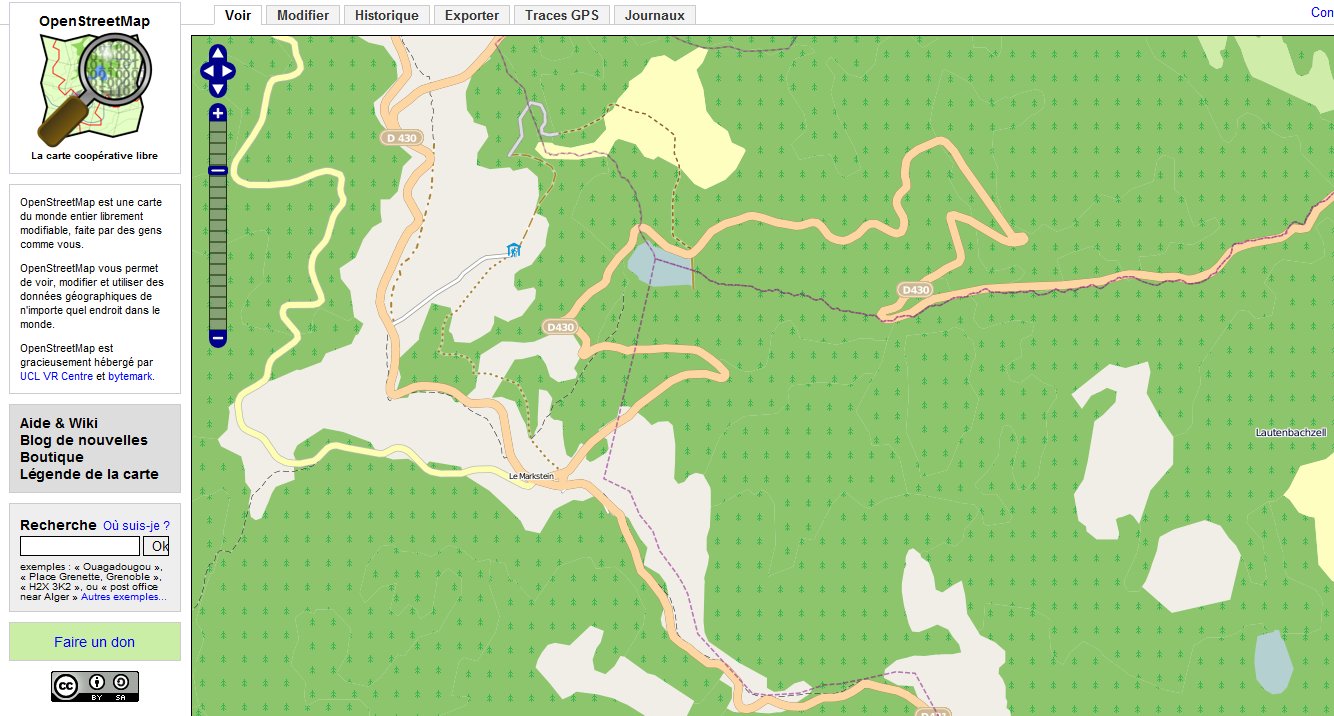
maintenant si !!!
merci pour l'astuce gmap - gpx !!
www.touraineverte.com
broken
comparaison par transparence de GM et OSM ....
sautter.com/map/?zoom=16&lat=47.91&lon=7.21& layers=B00000TFFT broken!
tools.geofabrik.de/
sautter.com/map/?zoom=16&lat=47.91&lon=7.21& layers=B00000TFFT
broken!tools.geofabrik.de/
Groundtruth
wiki.openstreetmap.org/wiki/FR:GroundTruth
cartes préparées
fredericbonifas.free.fr/osm/garmin.html france topo 448Mo
wiki.openstreetmap.org/wiki/FR:GroundTruth
cartes préparées
fredericbonifas.free.fr/osm/garmin.html
france topo 448Mo
potlach (2006) outil d'édition des données géographiques d'OpenStreetMap utilisant Adobe Flash ⚠️
version alpha de Potlatch 2 (2010)
iD (2013), le successeur de Potlatch 2, (en javascript) utilise SVG et D3.js pour le rendu
il faut passer par OpenStreetMap pour se connecter, ...
version alpha de Potlatch 2 (2010)
iD
(2013), le successeur de Potlatch 2, (en javascript) utilise SVG et D3.js pour le renduil faut passer par OpenStreetMap pour se connecter, ...
Raccourcis clavier

B Ajouter une balise de source de l'arrière plan
C Fermer le groupe de modifications
G Afficher les traces GPS
H Afficher l'historique
I Afficher l'inspecteur
J Joindre le point à un chemin croiseur
K Verrouiller/déverrouiller la sélection actuelle
L Afficher la latitude/longitude actuelle
M Maximiser la fenêtre de modification
P Créer un chemin parallèle
R Répéter les balises
S Sauvegarder (sauf si modification en live)
T Arranger en ligne droite / cercle
U Restaurer (voir les chemins supprimés)
X Séparer le chemin en deux
Z Défaire
- Supprimer le point de ce chemin seulement
+ Ajouter une nouvelle balise
/ Sélectionner un autre chemin partageant ce point
Delete Supprimer le point
  (+Shift) Supprimer le chemin en entier
Return Terminer de dessiner la ligne
