active units: miles km °C °F
September 11, 2003
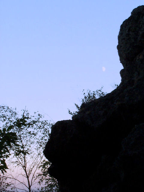
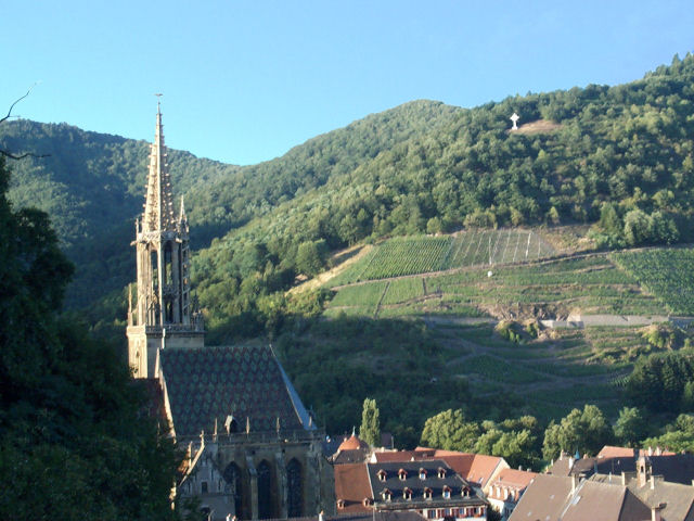
"Ostein's rock"

20 km 12.4 miles, 1h35
7 MTB (Michel, Jean, Christophe, Thierry, Christian, Yves, Claude)
Cernay
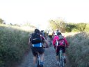
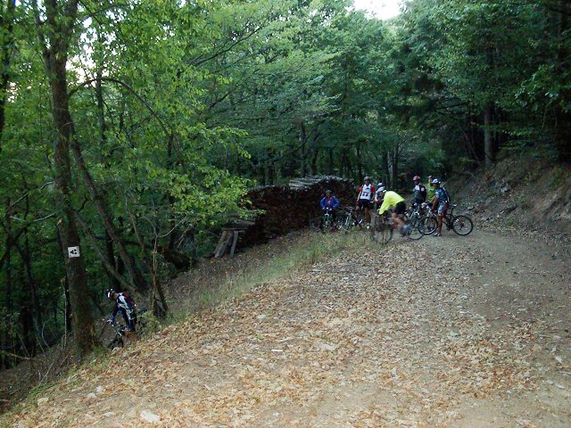
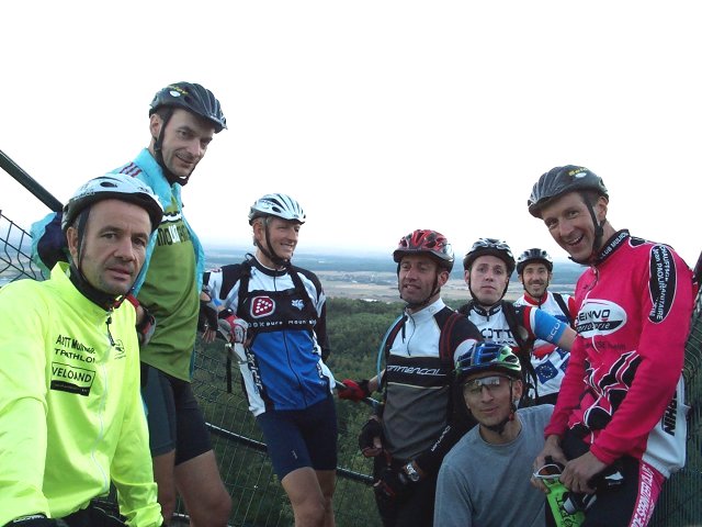
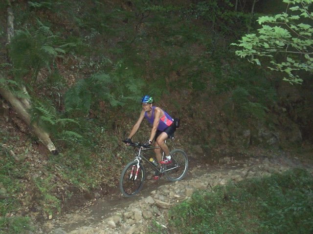
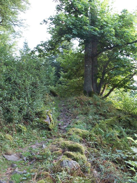
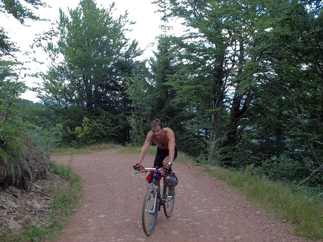
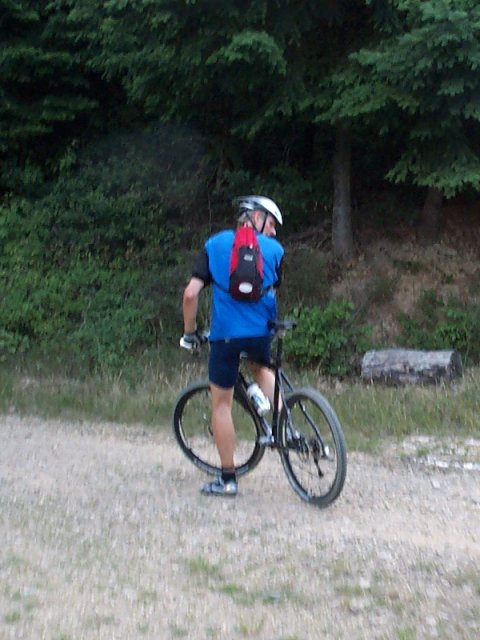
 6:30PM - Steinbach - Herrenfluh - Camp Turenne (908m) -
 small hook to the Ostein's rock (
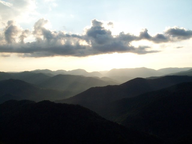
7:50 PM - sunset)
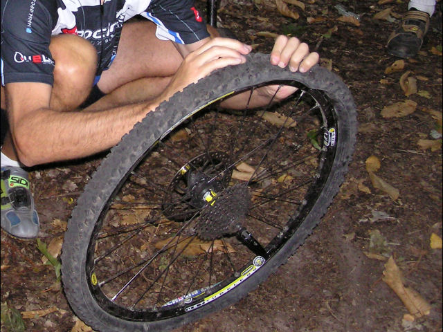
- Cernay (8:35 PM - with the stars) - it rained a good part of the morning, but the ground is OK.
- very good teacher, Yves shows us once again how to put a tire tube in a tubeless.
- update: October 2, 2003: meal of end of season to the "Petit Prince" in Rixheim

September 4, 2003
"Hirnelestein"

23 km 14 miles, 1h30
9 MTB (Michel, Jean, Christophe, Eric, Thierry, Christian, Yves, 2 Franck)
Cernay - Soultzmatt - valley of Steinbach - Hirnelestein rock - Steinbach - Cernay.
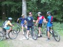
 departure  |
 turn |
 moon |
 group |
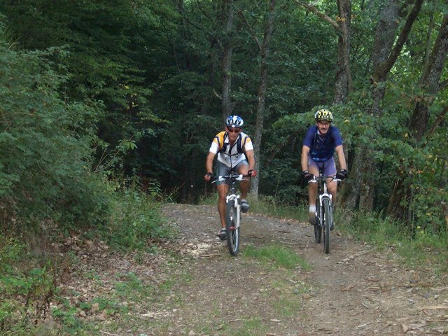
August 28, 2003
"quarry of Buhl"
28 km 17.4 miles, 1h35
6 MTB (Christophe, Thierry, Claude, Christian, Michel, +1)
Guebwiller - quarry of Buhl - col du Dreibannstein - heights of Bergholtz - col du Bannstein (return by the road; dark at 8:30 PM) - Guebwiller
a "weather alarm" level 3 was emitted, but it is not for immediately!!August 21, 2003
"Hartmanswiller"
25 km 15.5 miles, 1h40
7 MTB (Yves, Thierry, Christophe, Michel, Maurice, +2)
Hartmanswiller - Ste Anne - Rimbach Zell - Col de Peternit - Bildstoeckle - Jungholtz - Hartmanswiller
 rise |
 Michel |
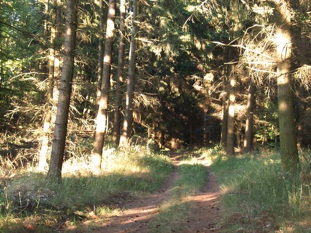
 Yves in forest |
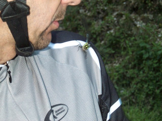
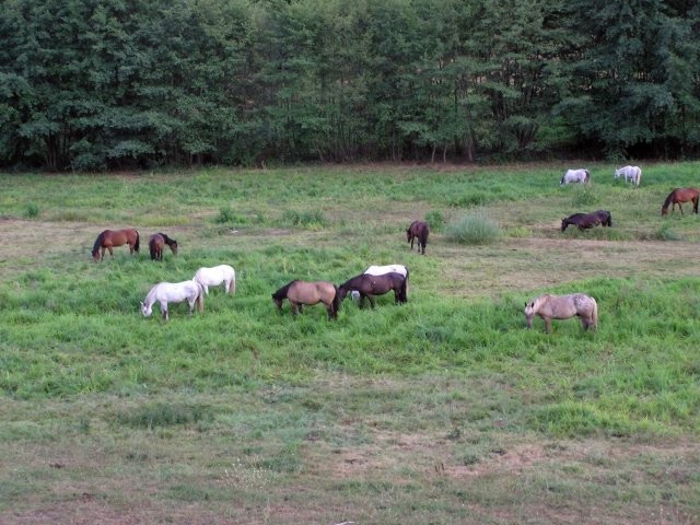 horses in Jungholtz 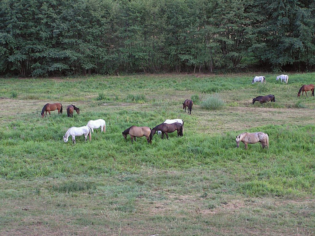 |
August 12, 2003
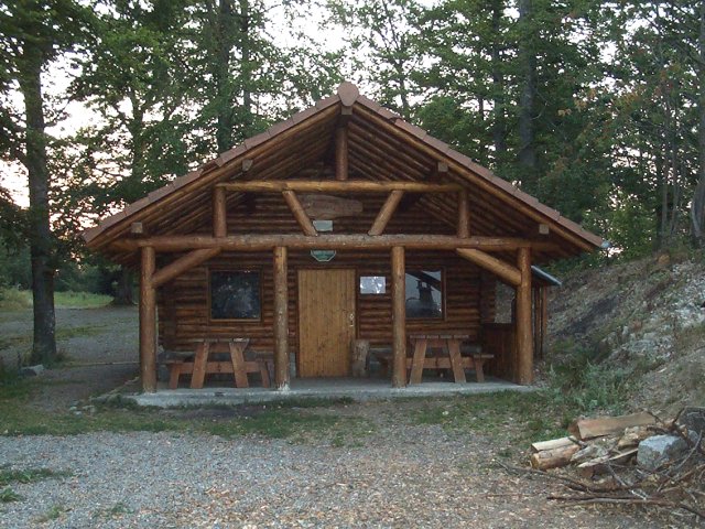
"camp Turenne"
22 km 13.6 miles, 1h40
2 MTB (Maurice, Christophe)
Vieux Thann - Bitschwiller les Thann - farm Ostein - camp Turenne - camp des Pyramides - Col du Grumbach - Engelbourg (eye of the witch) - Vieux Thann
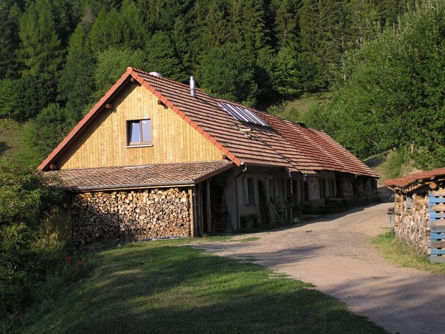 farm Ostein |
 rock |
August 7, 2003
"Belacker - Gsang"
42 km 26 miles, 2h45 (6:00PM - 9:10PM, it's still 86 °F)
2 MTB (Maurice, Christophe)
Vieux Thann (328m)
6:05 PM (6 miles on the cycleway) -
St Amarin - Mitzach (450m) - farm Belacker (980m) 8:03 PM -
farm Gsang (1050m) 8:30 PM - refuge from Blaufels (809m)
8:49 PM - Vieux Thann 9:10 PM - superb trip, you can make the race with a young wild boar
- put your headlamp for the return!!
 Maurice |
 Christophe |
 Maurice |
 refuge from Blaufels |
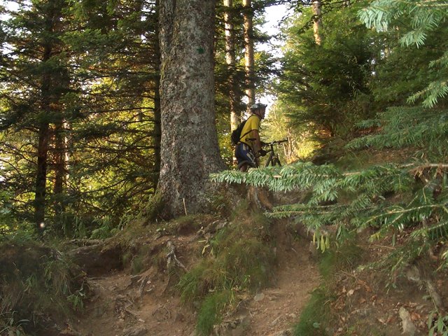
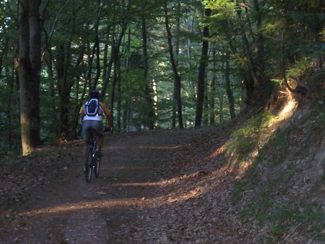
a camera is also practical to indicate you the passage time!!July 31, 2003
"Freundstein"
29 km 18 miles, 2h00
3 MTB (Franck, Maurice, Christophe)
Vieux Thann - Willer sur Thur - Freundstein (903m) - Camp Turenne - Ostein's rock - Bitschwiller les Thann - Vieux Thann
 at the Freundstein (info pict.) 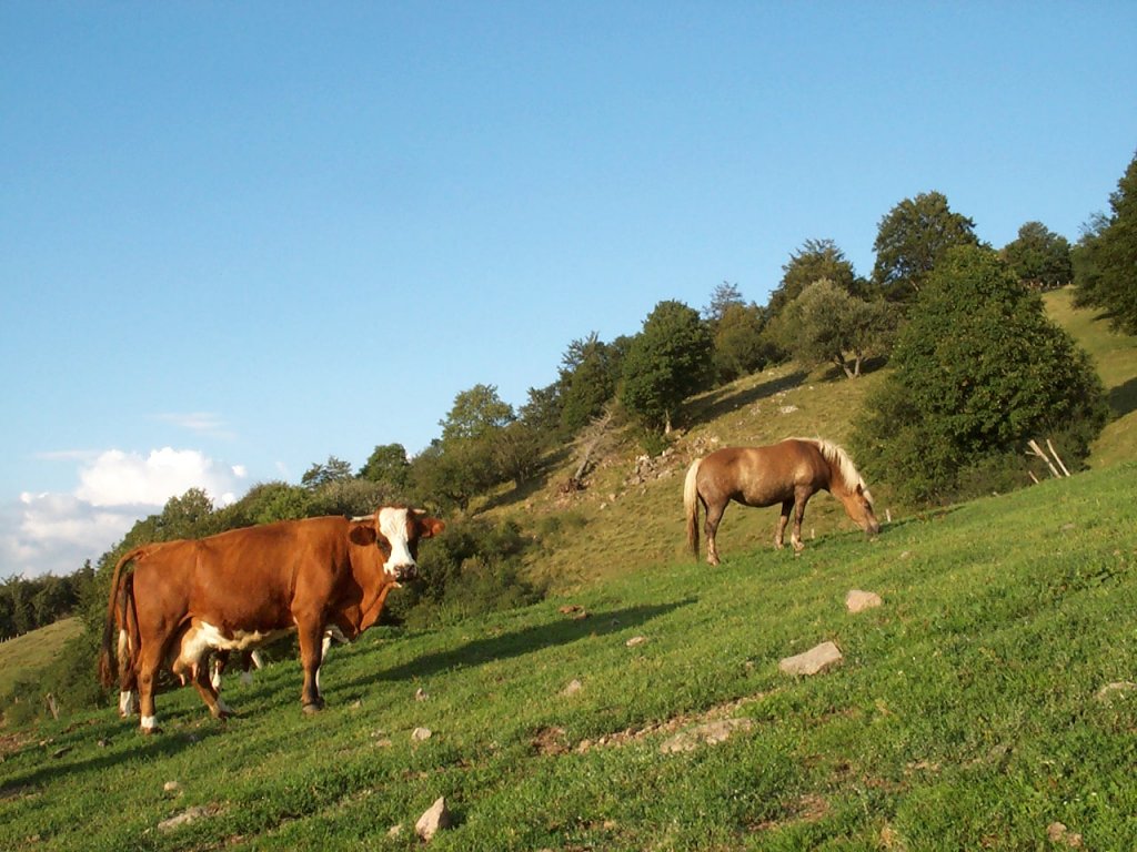 |
|
 |
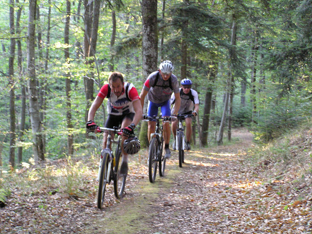
the ground was still wet, but no rain during the trip.July 24, 2003
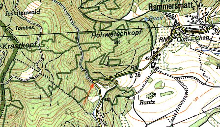
"défilé de Rammersmatt"
 30min. 1h30
 32 km 20 miles, 2h00 Elev.Gain 730m 2400 feet
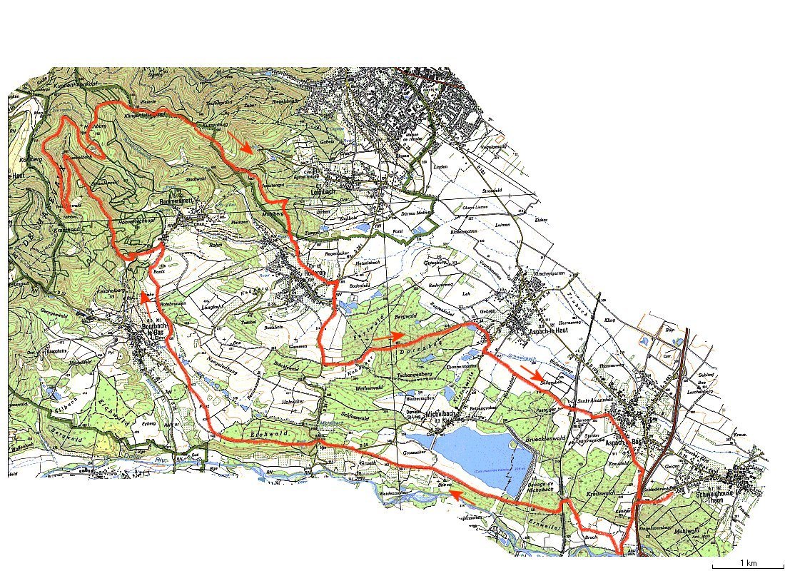
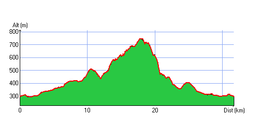
5 MTB (Michel, Franck, Maurice, Christophe, +1)
Schweighouse-Thann (it is between Reiningue and pont d'Aspach) (296m) - dam from Michelbach - Rammersmatt (go down again 0,4 miles, see detail) superb narrows!! we climb towards Hundsrucken (in fact Hochburg (750m)) - small path towards Weierlé (709m) descend 0.6 miles towards Kurrenburg (630m), take the small path at the extreme right, we cut the road D36 (Rammersmatt - Leimbach) - Roderen - Aspach-le-bas - Schweighouse-Thann
superb balade with a very beautiful descent! thank you Maurice.July 17, 2003
"Hundsrucken"
30 km 18.6 miles, 2h00
6 MTB (Michel, Franck, Maurice, Thierry, Christophe, Claude)
Vieux Thann - Bitschwiller - carpark from Thanner Hubel - Col de Hundsrucken - Weierlé (shelter) - Plan Diebold - "chemin du Roi de Rome" - Thann - (we go on the other side) Cross of Rangen - Kirschberg - Vieux Thann ....
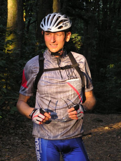
 Thierry
 |
 meeting |
 way 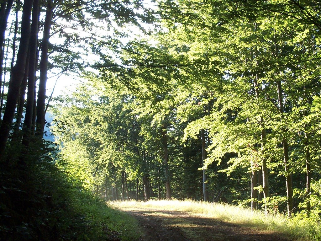 |
 Thann |
July 10, 2003
"Hirnelestein"
21 km 13 miles, 1h20
5 MTB (Michel, Franck, Maurice, Thierry, Christophe)
Cernay - Soultzmatt (if one does not go to the good departure) - valley of Steinbach - Hirnelestein rock - Steinbach - Cernay.
 Michel await us all the time |
 Franck and Maurice  |
 sunbeam |
An easy balade in a superb site.July 3, 2003
"Boenlesgrab"
22 km 13.6 miles, 1h30
5 MTB (Michel, Franck, Claude, Thierry, Christophe)
Guebwiller - Boenlesgrab (return by the road under the rain)
June 26, 2003
we said "no bike !"
But Christian, Maurice and Franck are although going.
June 19, 2003
"Noble valley"
6:30PM - 21h30 38 km 23.6 miles (according to Maurice), 2h30
6 MTB (Maurice, Yves, Franck, Thierry, Christophe, +1)
Guebwiller - col du Bannstein - Wintzfelden - col de Firstplan (722m) - borne jaune - convent St Marc - ND de Schauenberg (superb sight on all the plain of Alsace) - Westhalten - Orschwihr - Bergholtz - Gueb
 turn |
 sun |
 stowaway  |
 full power! 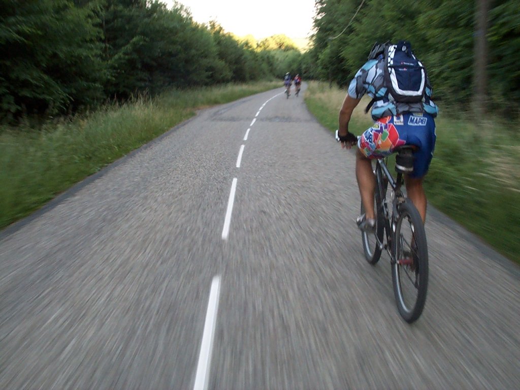 |
June 12, 2003
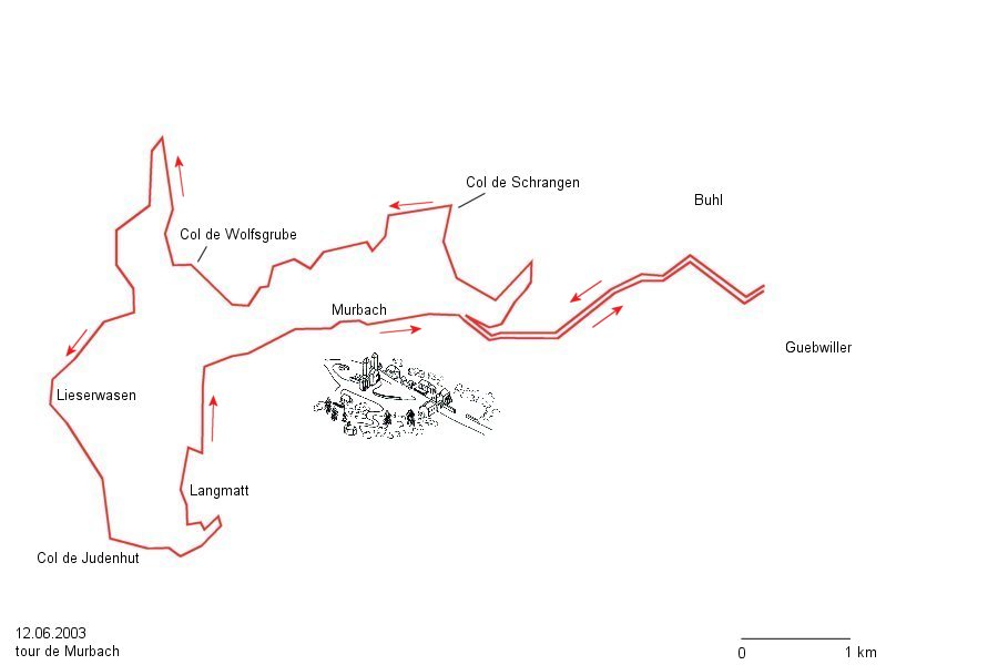
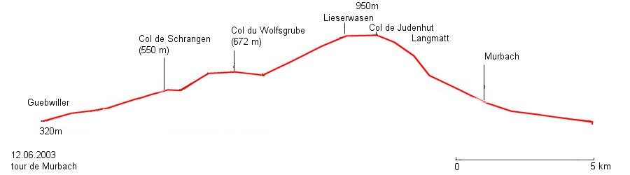
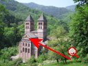
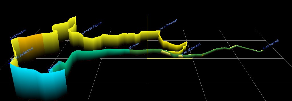
"abbey of Murbach"
6:30PM - 20h30 20 km 12.4 miles 1h30 Elev.Gain 650m 2100 feet
 - 3D -
6 MTB (Jean, Michel, Maurice, Franck, Christian, Christophe)
Guebwiller - Col Wolfsgrube - Lieserwasen (view on Murbach) - Col Judenhut - Murbach - Gueb.
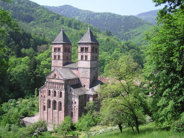 abbey of Murbach |
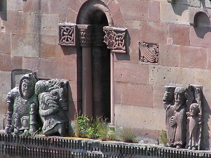 zoom 10x |
rise ok, descent too short proposal: don't go down towards Langmatt, continue on Munsteraeckerle, Collar of Peternit, ruins of Hugstein.
June 5, 2003
"Thanner Hubel"
6:30 PM - 9:00 PM 31 km 19 miles, 2h20
7 MTB
Thann - Willer s/Thur - Blaufels (refuge) - Gsang - Thanner Hubel - Willer - Thann
very beautiful descent[1] answer:
 easy ? |
to go further...
www.alsace-vosges-rando.com/09b_legende.htm = l'histoire des 7 moines martyrs

