active units: miles km °C °F
October 14, 2004
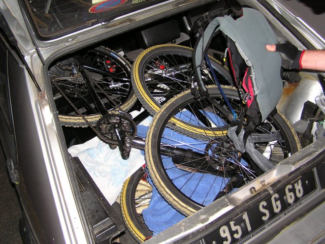
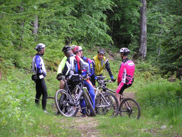
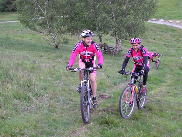
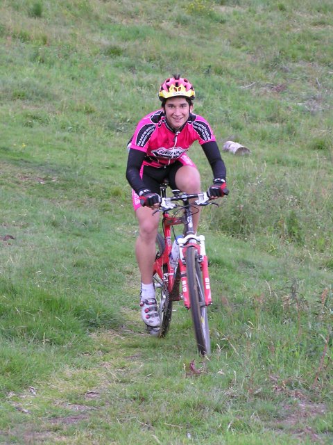
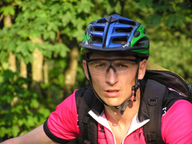
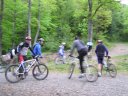
12 participants (without MTB)End of season lunch at "l'Entrecote" (Mulhouse)
- the slogan of Michel "it is not a game" is adapted to all sauces
- number of participants: from 1 to 15
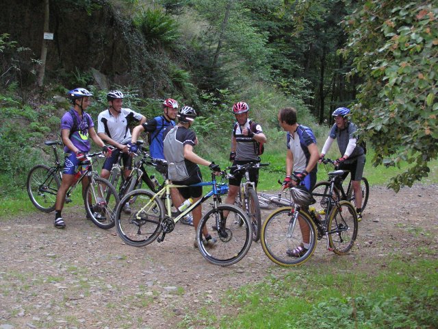
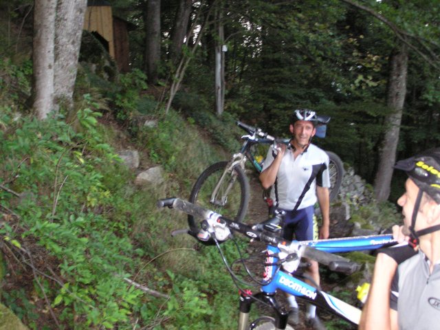
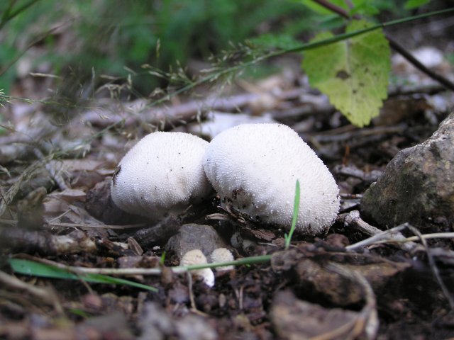
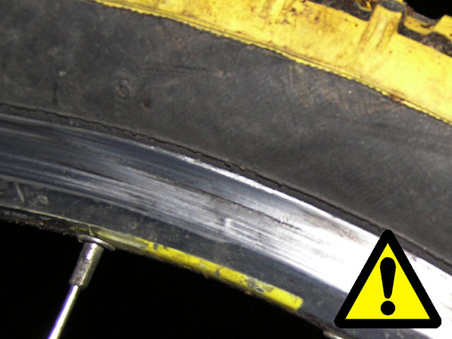
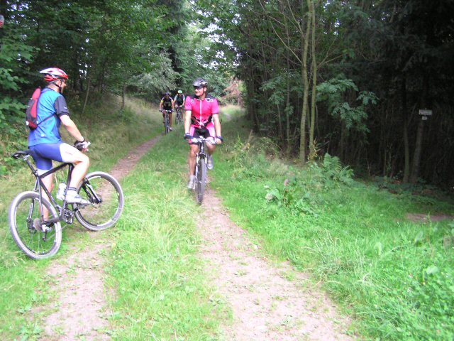
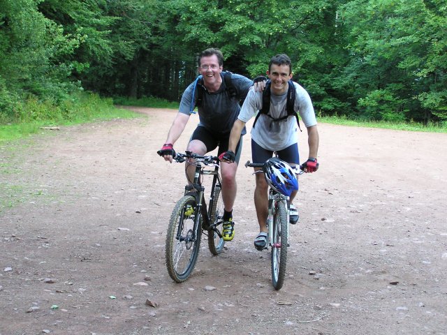
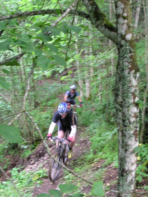
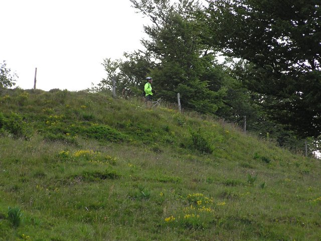
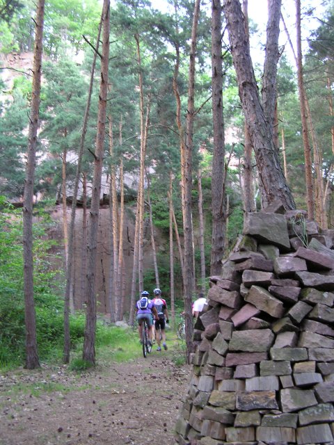
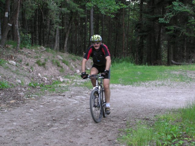
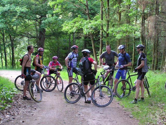
September 9, 2004
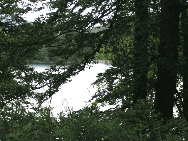
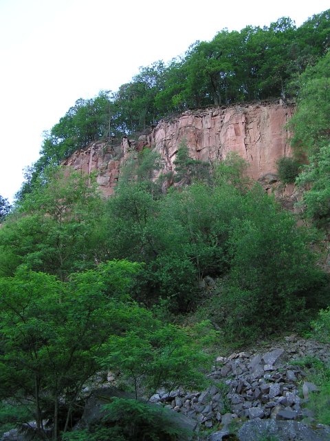
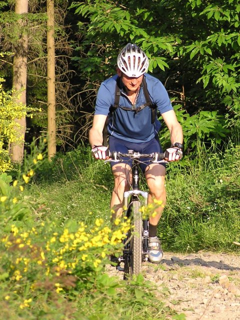
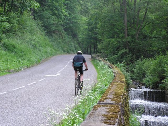
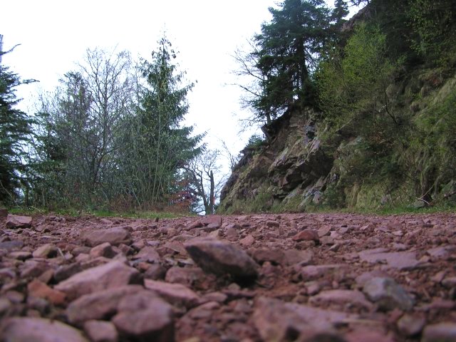
"rocher Ostein"

21 km 13 miles, 1h30
6 MTB (Michel, Yves, Thierry, Franck, Laurent, Christophe)
appointment at 6:30PM
 in Cernay
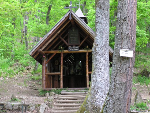
Steinbach - Waldkapelle - Pastetenplatz (790m)
7:30 PM -
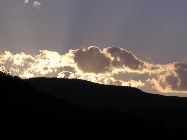
Camp Turenne (908m) - rocher Ostein 7:50 PM (sunset and end of the rise (6.8 miles in 1 hour)) -
return ... - Cernay 8:45 PM
 some adjustments...  |
 ...  |
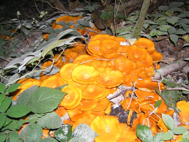
 still mushrooms  |
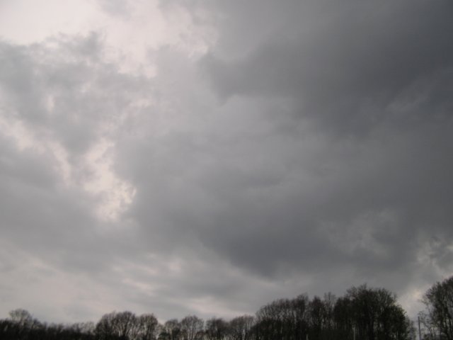
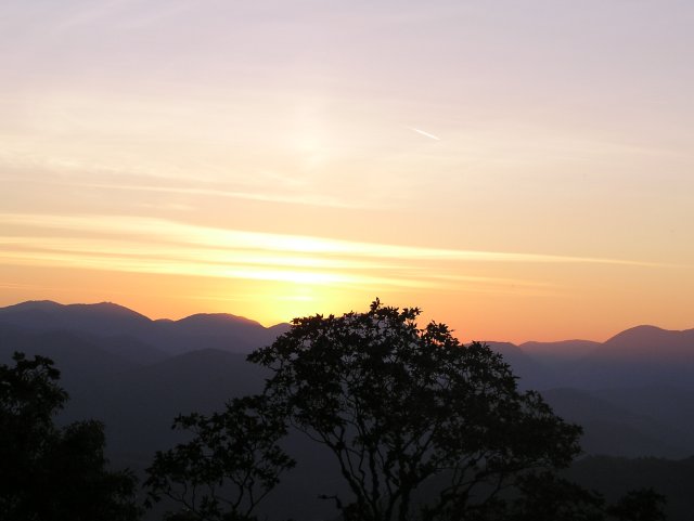 19h50, sunset 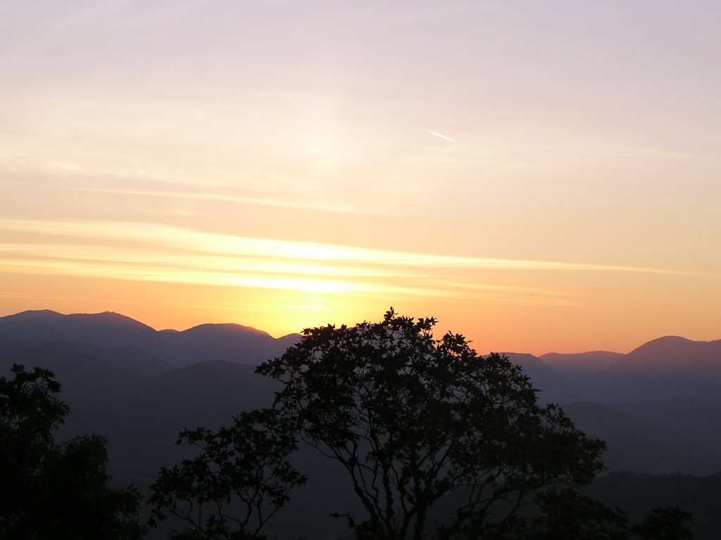 |
 at the Ostein rock 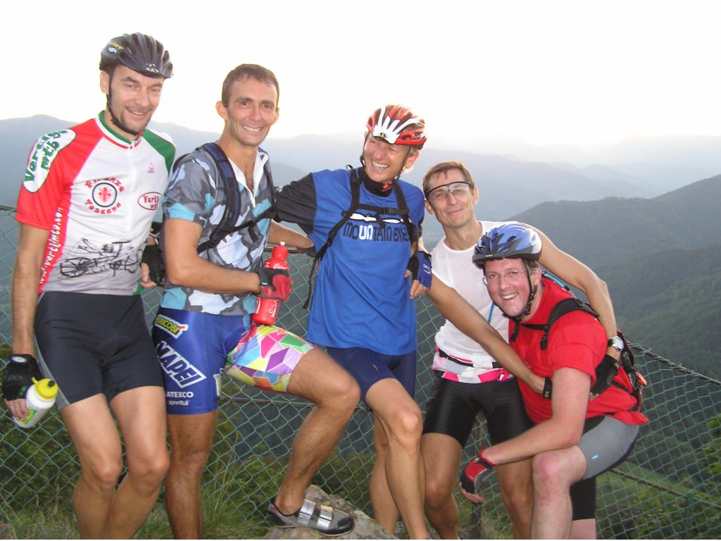 |
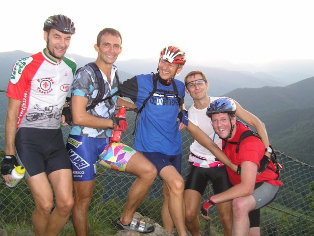
 the assistance arrives |
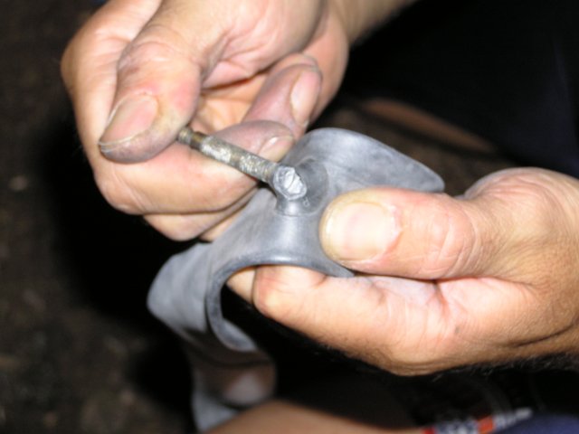
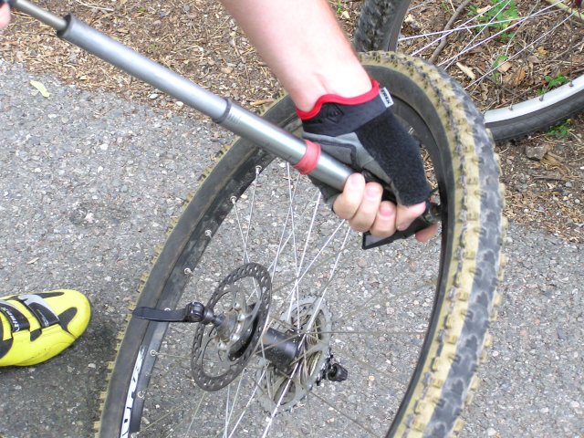
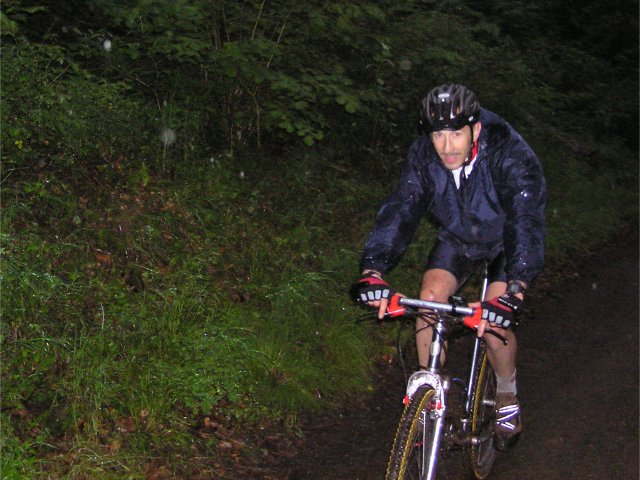
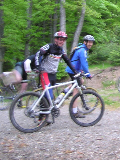
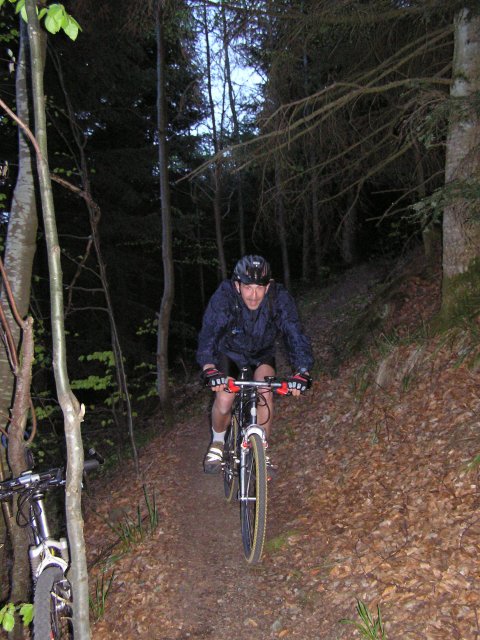
 Three punctures (at the end of the balade) for Laurent... he has right to the "broom wagon" (voiture balai).
 cycling glossary: www.dailypeloton.com/cyclegloss.asp

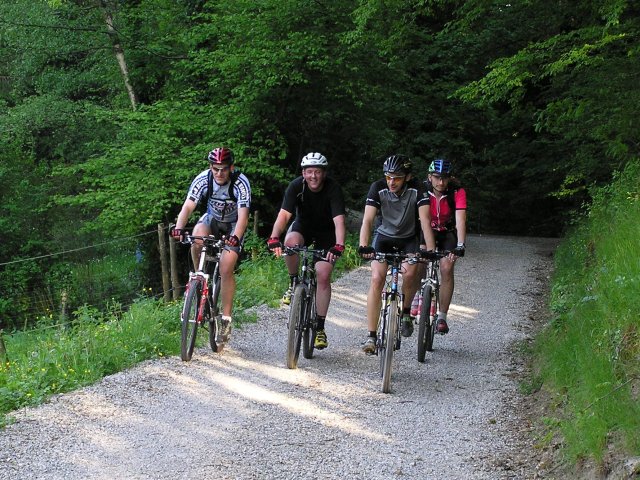
September 2, 2004
"at the foot of the Vieil Armand (Hartmannswillerkopf)"
21 km 13 miles, 1h30
8 MTB (Michel, Yves, Jean, Thierry, Claude, Franck, Laurent, Christophe)
appointment at 6:30PM
in CernayWattwiller - many shelters along the rise (very sympathetic) in order to join "curve 1
7:20 PM - canteen Zeller 7:30 PM -
a little bearing, then descent. We passe without stopping in front of "lippic Switzerland"
7:42 PM,
then small stop following a technical problem (this time it is for Claude) - Hirtzenstein -
Thalmatten (turn overhanging Wattwiller) it is only 8:00 PM! Michel whistles us in order
to go up towards the usual intersection of the road of Peaks (567m) - small way towards Scheltzenburg -
Vault St Morand - Cernay 8:35 PM
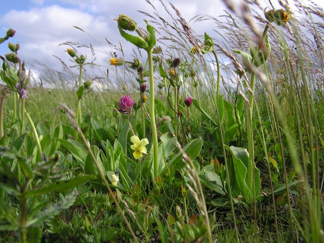
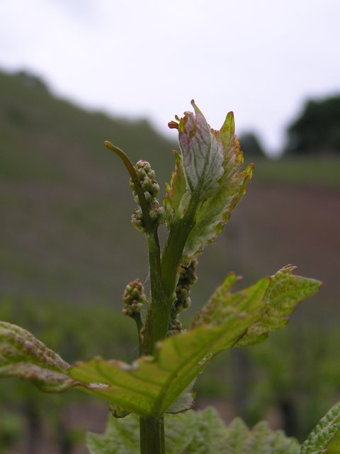
Some photographs taken along the "path of discovered" (along the Thur, close to Cernay) while waiting for the time of departure
 along the Thur  |
 colchic 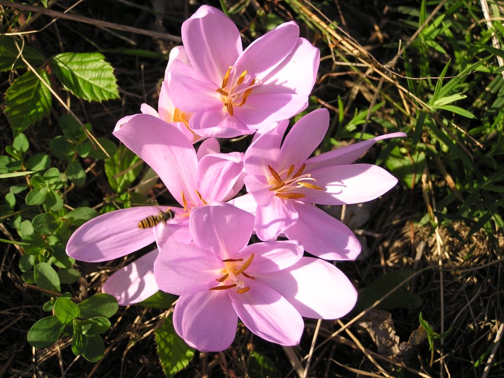 |
 group (at curve 1) 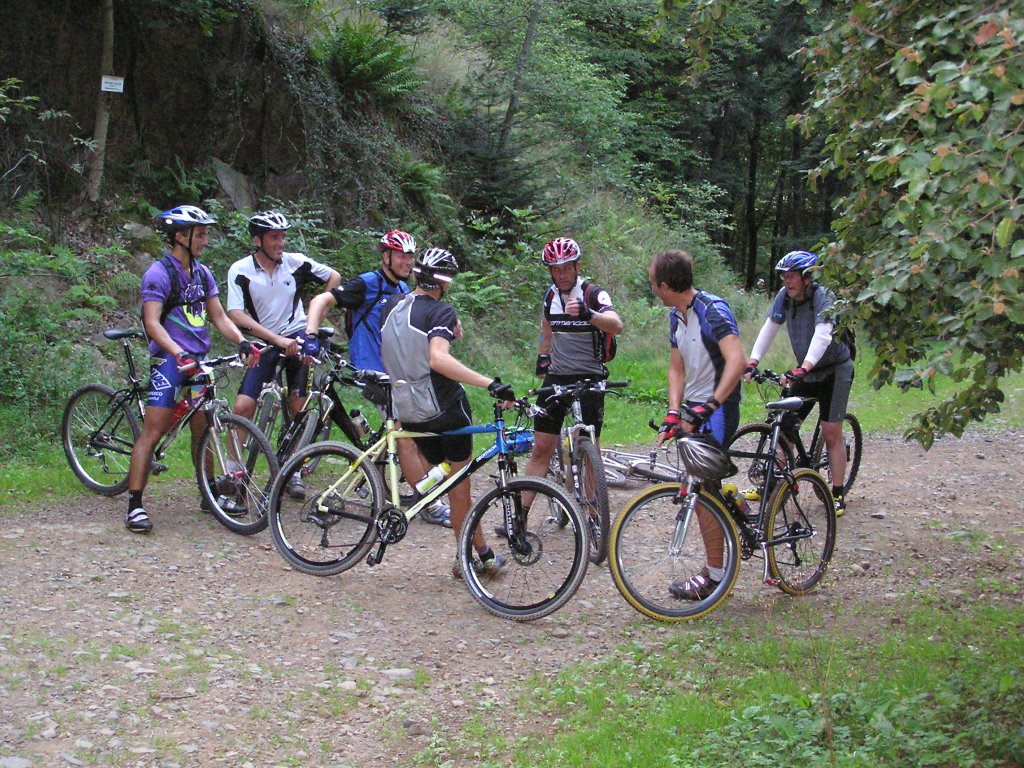 |
 bearing, canteen Zeller |
 irreparable |
 beautiful colors |
Michel: "we are not here to gather mushrooms!"August 26, 2004
"Camp Turenne"

22 km 13.6 miles, 1h45
5 MTB (Thierry, Franck, Laurent, Christophe, Christophe)
appointment at 6:30PM
in Cernay (Espace Grün)Wattwiller - stiff path
 which skirts the "Road of the Peaks" -
the scouts have the chance to see chamois - 8:10 PM
Camp Turenne - Waldkapelle - puncture of Thierry, it is necessary to repair with the flashlight -
thalasso stop: mud bath - Cernay 9:00 PM
which skirts the "Road of the Peaks" -
the scouts have the chance to see chamois - 8:10 PM
Camp Turenne - Waldkapelle - puncture of Thierry, it is necessary to repair with the flashlight -
thalasso stop: mud bath - Cernay 9:00 PM
 Thur 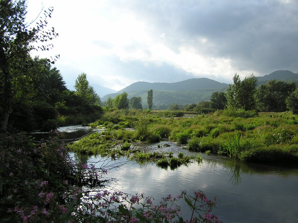 |
 mushrooms 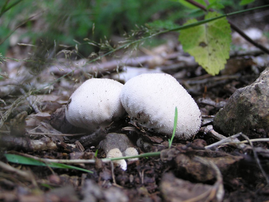 |
 warning |
 20h45: night 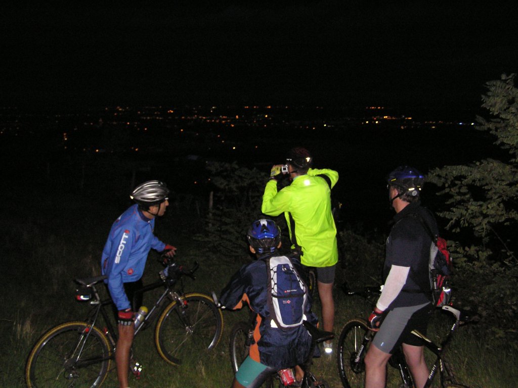 |
 paparazzi 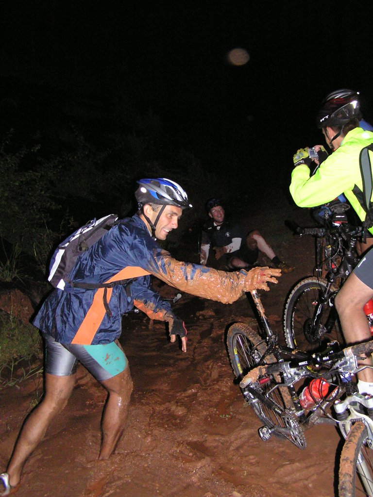 |
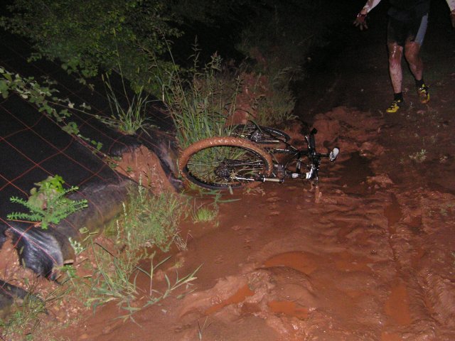 night + mud 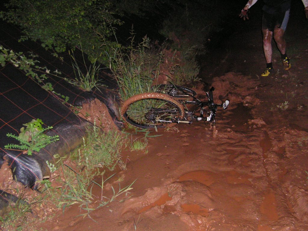 |
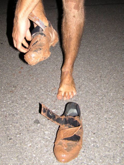 foot !  |
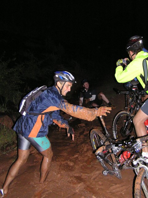
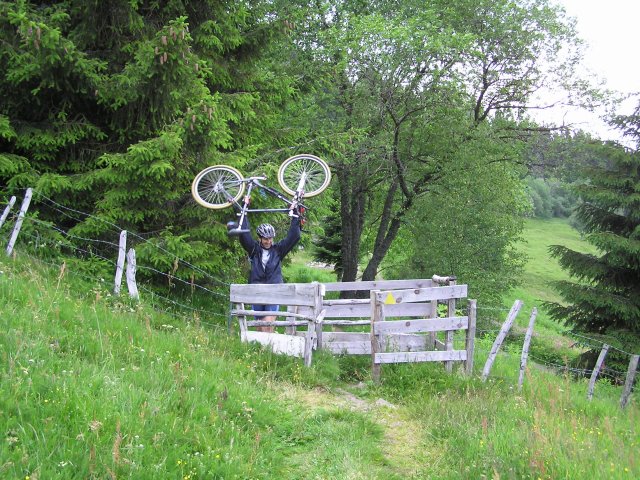
good courage to those who need to cleanup the bicycles!August 12 and 19, 2004
 (or it rained all the day) shit weather....
 August 5, 2004
"borne jaune"
25°C 77°F 35 km 22 miles, 2h05
5 MTB (Eric, Michel, Jean-Claude, Christophe, Christophe)
appointment at 6:30PM
Guebwillercol du Bannstein - col de Firstplan - yellow limit (borne jaune) - Osenbuhr - Osenbach - col du Bannstein - Gueb.
9:20 PM
 beautiful bike  |
 Michel, Jean-Claude, ... |
 wood 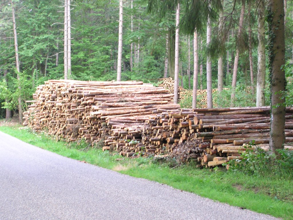 |
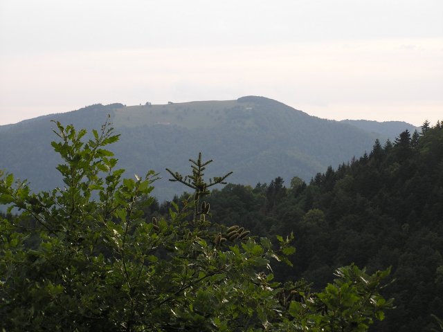
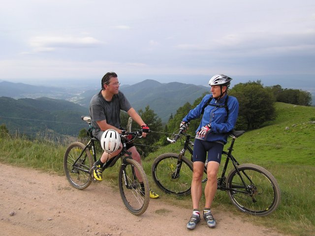
July 29, 2004
"Grand Ballon"
3 MTB (Christophe, Christian, Michel)
Guebwiller - Grand Ballon (radar) 16°C 61°F at the top
descent by Glasshütte - Rimbach
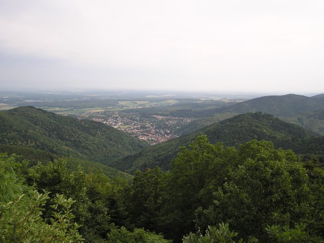
July 22, 2004
"Hundsrück"
27 km 16.7 miles
5 MTB (Franck, Laurent, Fabien, Christophe, Michel)
Willer - place Zündel - Col Hundsrück - descent to Thann
July 15, 2004
"Thanner Hubel"

25 km 15.5 miles, 1h50, Elev.Gain 710m 2300 feet
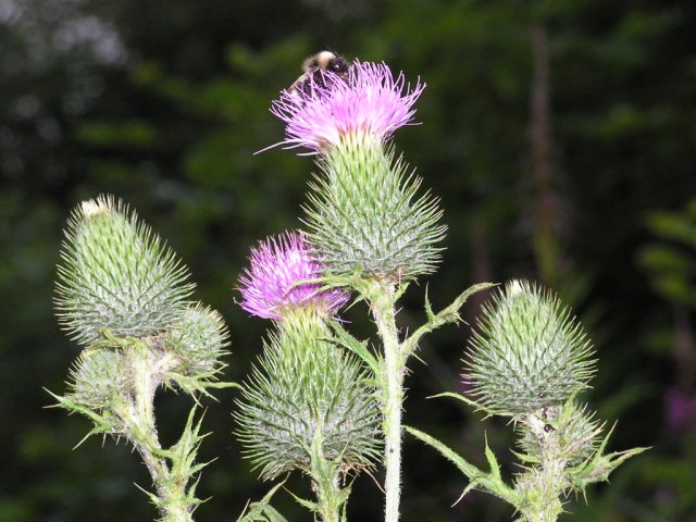
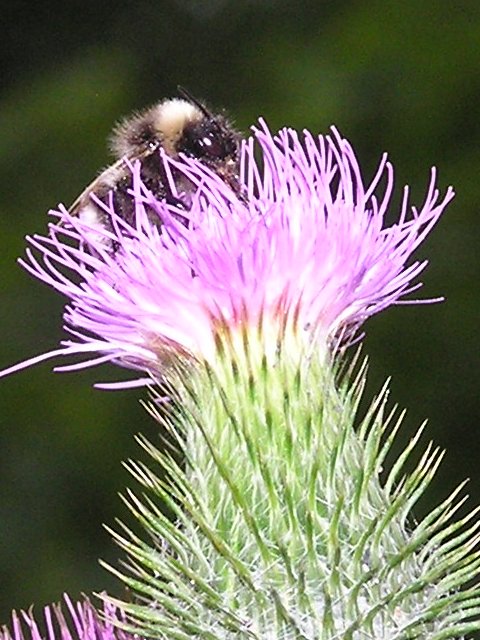
3 MTB (Frank, Laurent, Christophe)
appointment at 6:30PM
Vieux Thann - Bitschwiller (by the cycle track) - farm auberge of Thanner Hubel (1060 m) - very sympathetic descent by a small path between the farm and Bitschwiller (follow the yellow cross from Vosgean club) - Bitschwiller - Vieux Thann
8:55 PM
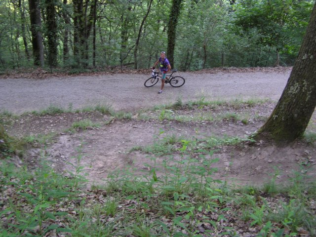
 Laurent warms up 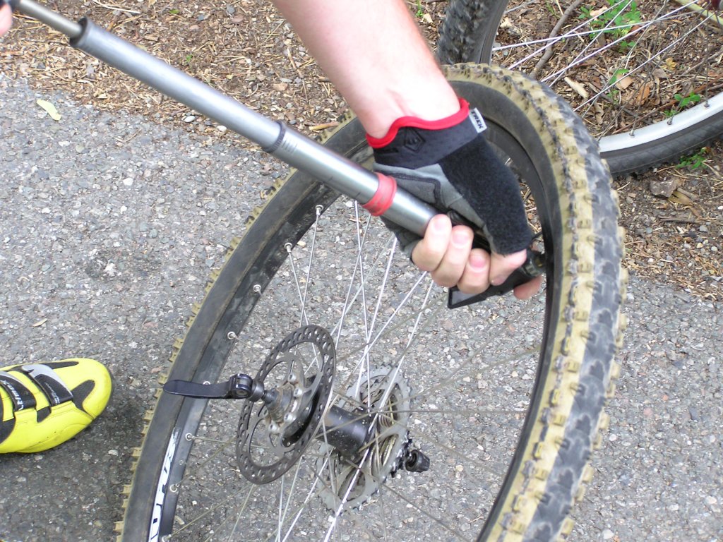 |
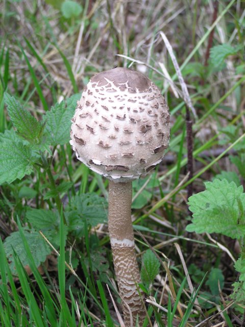 parasol mushroom 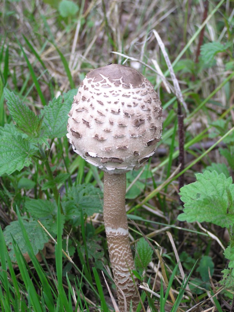 |
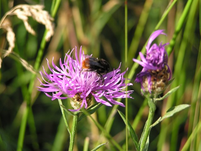
 thistle (chardon) 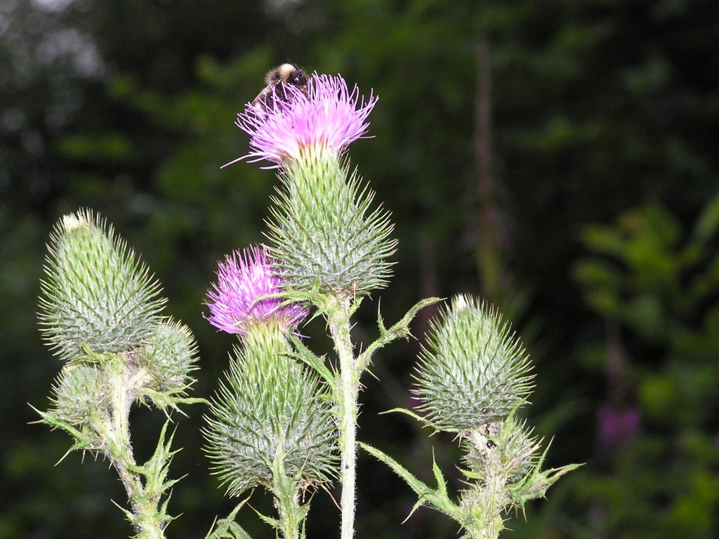 |
 acrobats  |
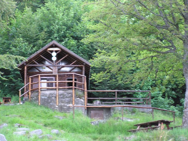
like April 29, 2004for the shelter "Vogesapfad Hisla", "pfad" means "path"
July 8, 2004
"ferme Ostein"
21 km 13 miles, 1h35
5 MTB (Laurent, Michel, Thierry, Franck, Christophe)
appointment at 6:30PM
Vieux ThannThann - Kattenbach - Collard of Grumbach - Wotan - Baecherkopf-Hisla - camp Turenne (908m) - rock Ostein (890m) - farm Ostein (630m) - Bitschwiller les Thann - return along the Thur (by the cycle track). Vieux Thann
8:50 PM
 Wotan oak |
 Thann |
 Tannerhübel |
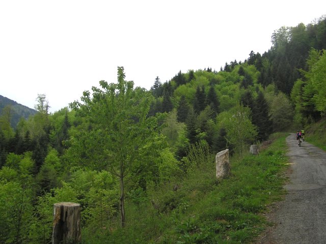
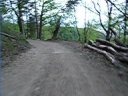
 rising |
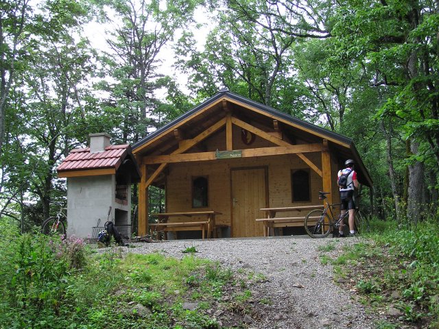 Baecherkopf Hisla |
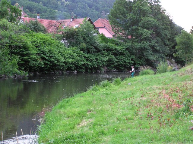 Thur |
We have good luck with weather, because there were beautiful storms today.On the other hand, still no more chance with the "action" photographs.
July 1, 2004
"ferme du Strohberg"
32 km 20 miles, 2h25
5 MTB (Michel, Thierry, Maurice, Christophe, Laurent)
appointment at 6:30PM
Guebwillerwe take the road until Lautenbach - rise to the Collar of Boenlesgrab (by Kappellenacker) - direction Petit Ballon (1272 m) by the farm of Strohberg (concert of bells) - altitude max: 1163 m - western descent, until the coordinates 47°58'15N 7°5'18E (sorry, I do not know the name of this place)- Col du Hilsenfirst (1050 m) - Hilsen (be careful, the brakes heat !) - Linthal - Guebwiller (by the road)
9:40 PM
 tong  [3] [3]
 |
 Lupine 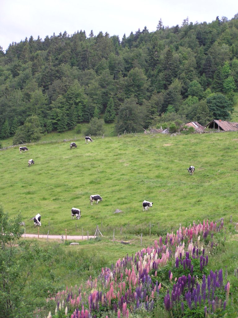 |
 Laurent and Michel 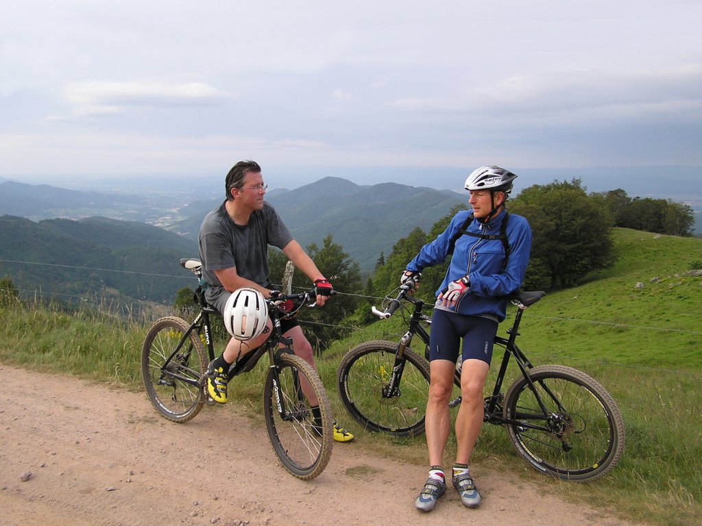 |
 Maurice |
 Thierry |
 2 curious!  |
 goat (in Hilsenfirst) |
Superb balade (****) for all those who adore the nature and the "wild"
side of the Vosges.You need a good technique for the descent of Hilsenfirst .
(cf: goat)
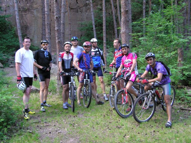
June 24, 2004
"Steinlebach"
34 km 21 miles, 2h30
12 MTB (Christian, Yves, Michel, Jean, Thierry, Maurice, Eric, Fabrice, Vincent, Christophe + Laurent and Christophe)
Steinlebach (1140m)
7:00 PM - Hundskopf - Lac du Ballon (1000m) - Gustiberg - Lieserwasen - Col Judenhut - Glashutte - Firstacker (955m) -
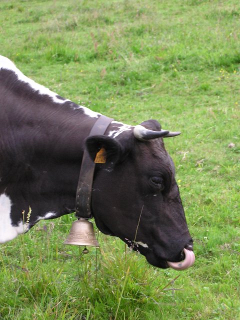
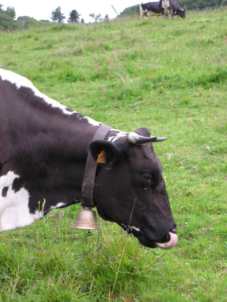
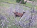
Gerstacker (1051m) - Haag (1233m) - Hundskopf - Marksteinkopf - Markstein - Steinlebach 10:00 PM a lot of wind on the peak, see a roe-deer (like last Thursday), cold return 11-12°C 59-53°F ...
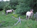
 on the peaks ... 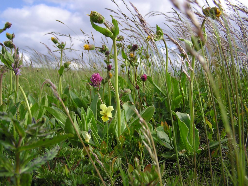 |
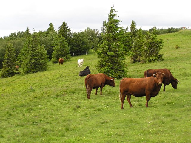 cows  |
 waiting  |
 lac du Ballon |
 Judenhut |
 Fabrice and Eric |
 Vincent |
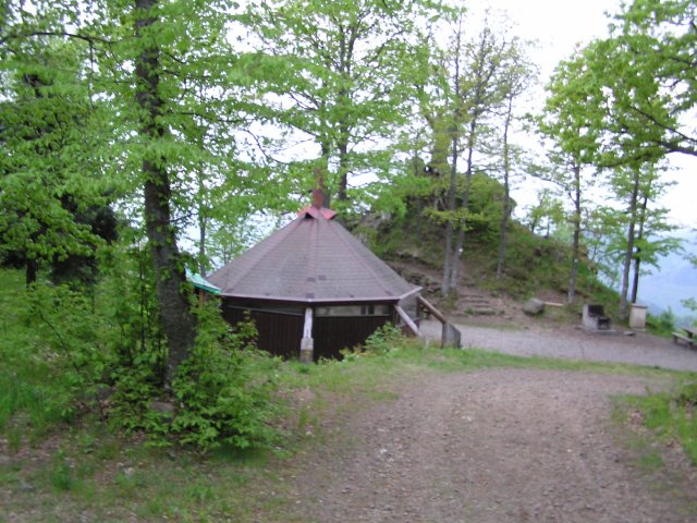
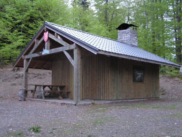
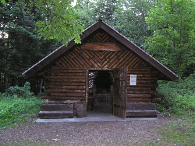 shelter Oberer Sattel (1149 m) |
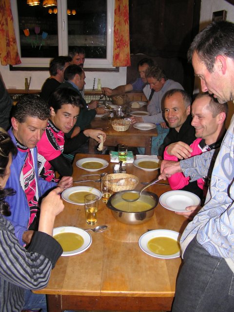 the soup |
 small plate... 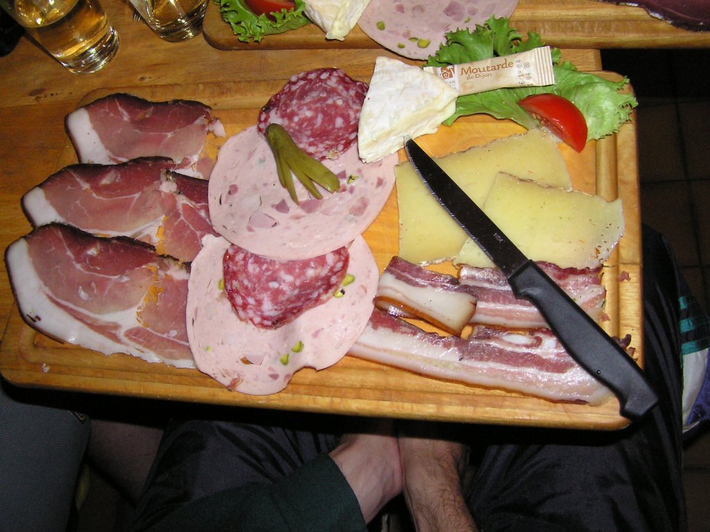 |
super evening at Jean's farm www.auberge-steinlebach.com June 17, 2004
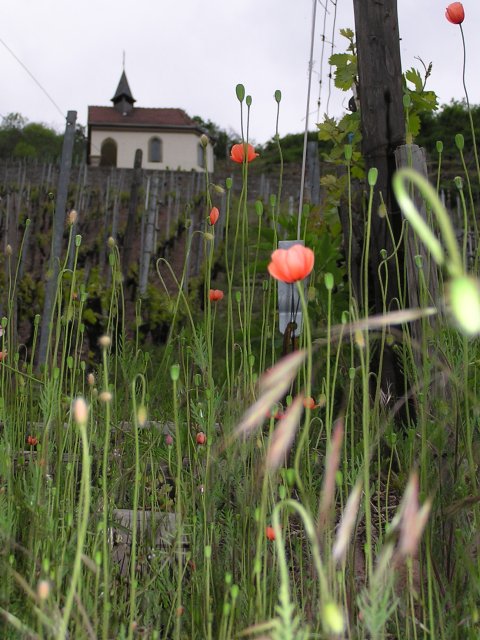
"Gueberschwihr"
26-22°C 79-72°F27 km 16.7 miles, 1h55, Elev.Gain 680m 2230 feet
9 MTB (Michel, Yves, Laurent, Jean, Thierry, Eric, Franck, Christian, Christophe)
appointment at 6:30PM
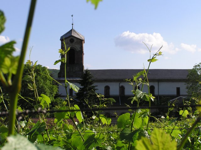
WesthaltenRise in the vineyard, overpass to arrive at ND of Schauenberg. From there, we go direction Osenbuhr (Kohlplatz) then return towards the convent St Marc. We crosse the road D 1V in order to explore the quarry of Gueberschwihr (superb site!). Christophe takes the wrong way and goes down until Gueberschwihr; fortunately St Bernard dog (Eric) arrives.... it is necessary to go up. Return by the vineyard with a final loop on Strangenberg. Arrival: Westhalten
8:45 PM
 church Westhalten 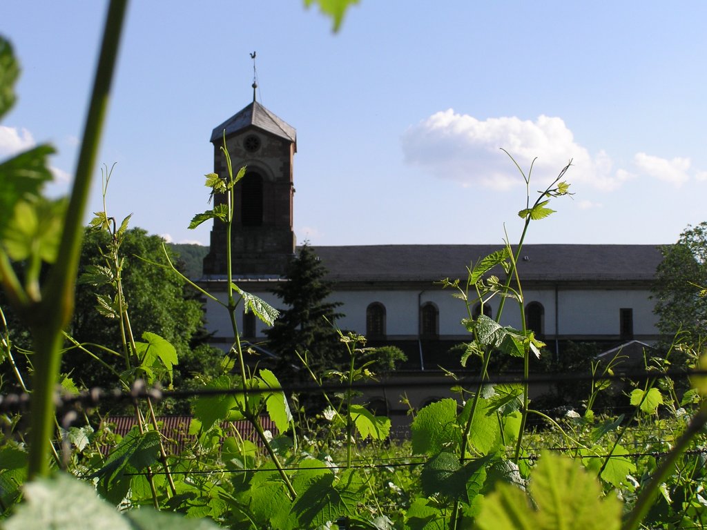 |
 pollen gather ...  |
 hey! are you coming ?!! |
 Gueberschwihr 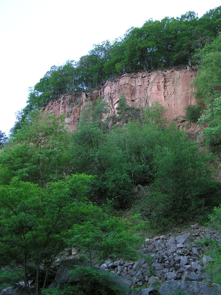 |
 cairn |
 the group in Gueberschwihr |
 Strangenberg |
 end of day |
June 10, 2004
"Noble valley"
29-25°C 84-77°F40 km 25 miles, 2h30
9 MTB (Michel, Yves, Laurent, Jean, Thierry, Eric, Maurice, Christophe & Christophe)
appointment at 6:30PM
Gueb.Guebwiller - collard of Bannstein - Wintzfelden - collard of Firstplan - yellow limit (borne jaune) - convent St Marc - ND of Schauenberg - Westhalten - Orschwihr - Soultzmatt - collard of Bannstein - Schweighouse - Gueb.
9:45 PM
 Maurice |
 group  |
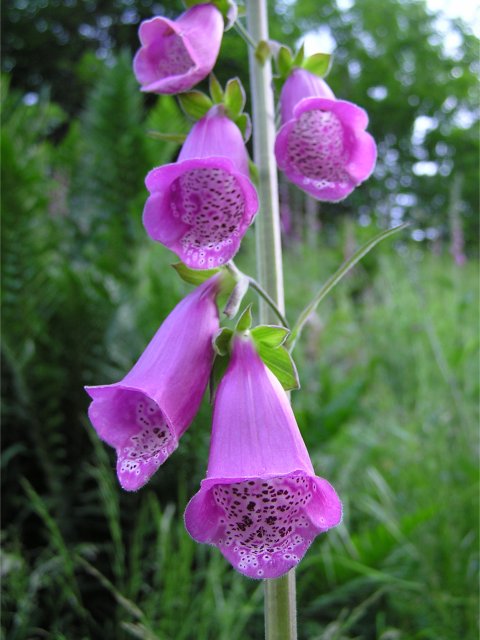 foxglove (digitale) 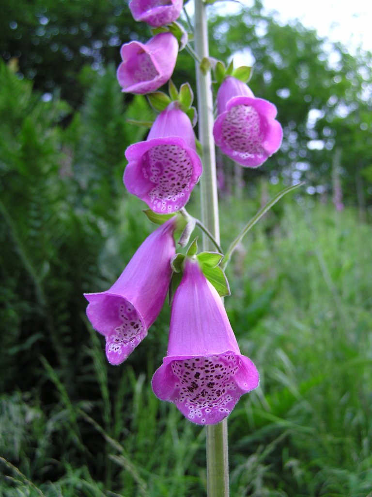 |
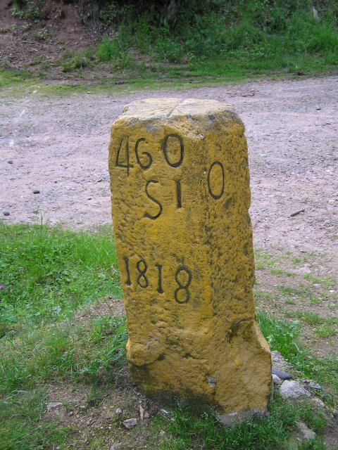 yellow limit (borne jaune) !!!  |
 Christophe  |
superb storms at the end of the evening (after our trip!!) attention to ticks
 June 3, 2004
"rain"
appointment at 6:30PM
And if you don't not read very well your email that's what occurs...
circuit 1: 4 MTB (Yves, Christophe, Michel, Laurent)
Guebwiller (310m) [2] - Murbach - Lieserwasen and Judenhut (973m) by Wolfsgrübe - Gueb.
circuit 2: 2 MTB (Thierry, Christophe)
25 km 15.5 miles, 2h20 - Guebwiller - Col Bannstein - Col Boenlesgrab - plaine de Rouffach (882m) - Rehfelsen - Gueb.
9:30 PM
 Thierry
 |
on the other hand everyone benefited of the rain....
May 27, 2004
"vineyard"
25 km 15.5 miles
6 MTB (Jean, Yves, Thierry, Franck, Laurent, Michel)
appointment at 6:30PM
Guebwiller - vineyard above Bergholtz - Col du Banstein - Lautenbach by the pots of the devil (les marmites du diable) - return by cycle track then crossed longitudinal of the vineyard above Guebwiller
May 20, 2004
"Hartmanswiller"
25-30°C 77-86°F25 km 15.5 miles, 1h50, Elev.Gain 700m 2300 feet
5 MTB (Michel, Yves, Laurent, Christophe & Christophe)
appointment at 6:00 PM
Hartmanswiller - Ste Anne - Rimbach Zell - Col de Peternit - Bildstoeckle - Jungholtz - Hartmanswiller
8:30 PM
 Michel 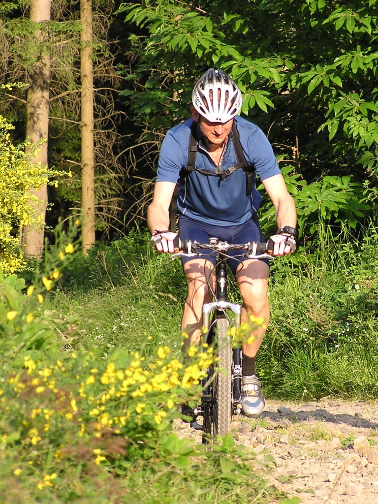 |
 group 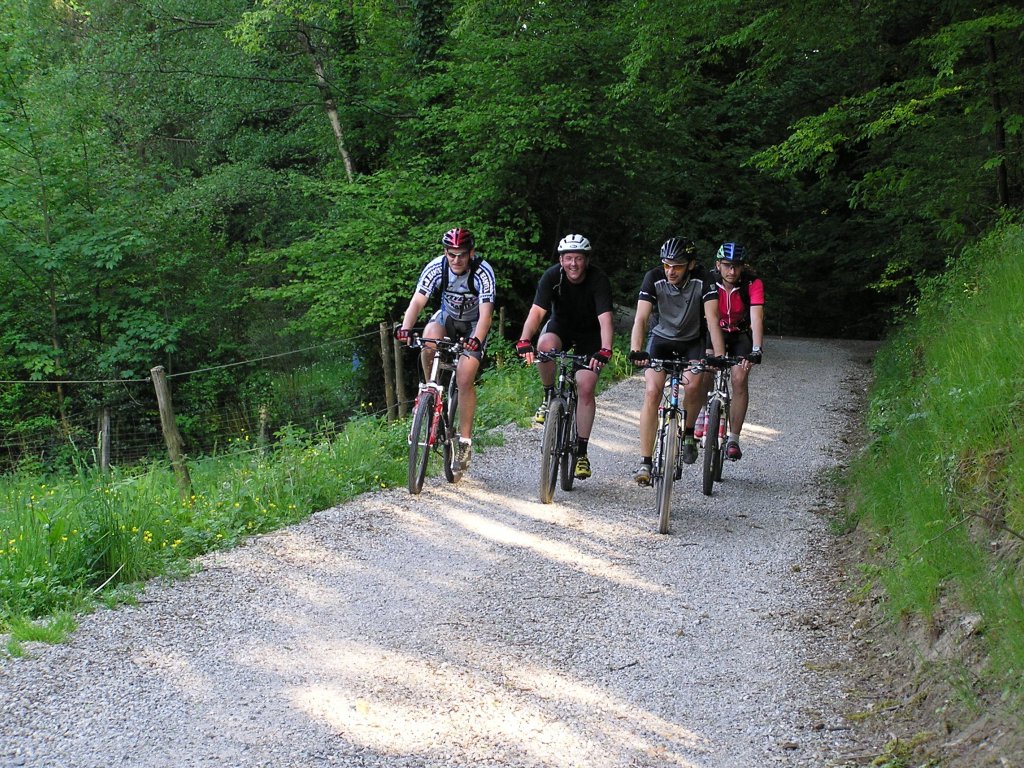 |
 Christophe  |
 Laurent |
 mechanics |
same balade than that from August 21, 2003
except that this time it's Christophe who bursts a little later than Yves.
May 13, 2004
"Waldkapelle"
14°C 57°F24 km 15 miles, 1h50
8 MTB (Michel, Jean, Yves, Thierry, Christophe, Laurent, Gerald, Fabien)
appointment at 6:30PM
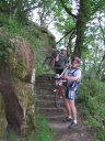
Vieux Thann - Thann - Kattenbach - vineyard (Rangen) - Waldkapelle - Rocher Hirnelestein - Waldkapelle - col du Grumbach - Pastetenplatz - Vieux Thann
9:00 PMok! it is not terrible as explanation
 Rangen |
 vault St Urbain 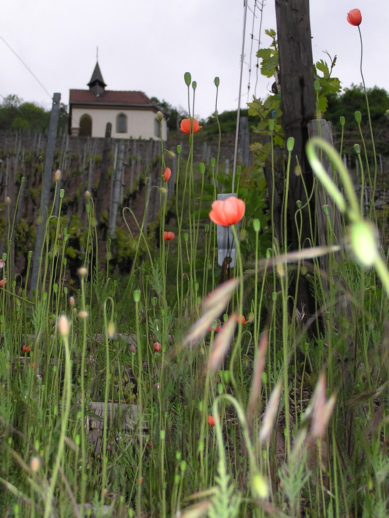 |
 Jean, Thierry |
 Waldkapelle (576m) |
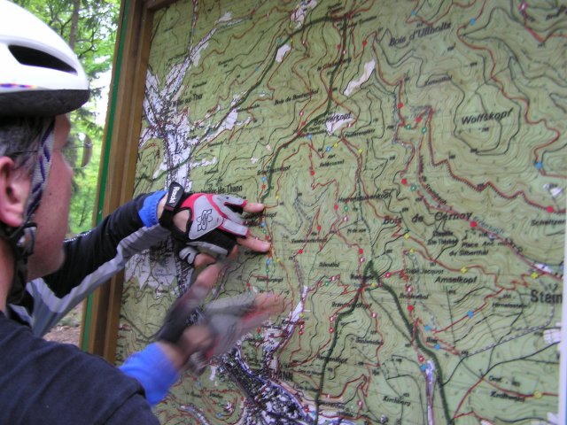 Topo at the collar of Grumbach |
 departure... |
 shelter and oak Wotan (759m) |
May 6, 2004
appointment at 6:30PM in Vieux Thann
weather forecast:
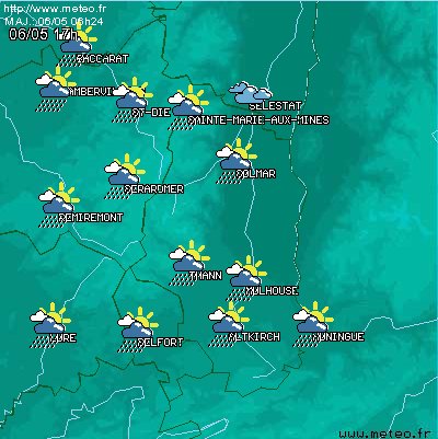
www.meteo.fr
for the departement 68 (= Haut Rhin)April 29, 2004
"Thanner Hubel"
25 km 15.5 miles, 2h03
3 MTB (Yves, Thierry, Christophe)
appointment at 6:30PM
Vieux Thann - Bitschwiller - ferme auberge du Thanner Hubel - Bitschwiller - Vieux Thann
9:05 PM
 green |
 red |
 black + Thierry |
 Vogesapfad hisla |
April 22, 2004
"Hirnelestein"
10min. 23 km 14 miles, 1h35
3 MTB (Michel, Franck, Christophe)
appointment at 6:15 PM
Cernay - vallée de Steinbach - Rocher Hirnelestein - Steinbach - Cernay.
first balade (for me), hard hard !!
 balade |
 the clouds arrive! |
 quick, quick!! |
 descent
    |
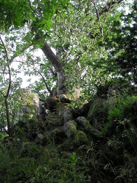
 Trees
Trees  |
Test video: nothing spectacular! choice of the size and the format (.wmv .ram) below. Codec used: v.9 Technical information [1] |
[1] video: technical information:
Video 1: "descent"
 (.wmv) 63 Kb -- 7 sec. -- 160x120 -- 15 fps -- no sound -- codec: wm9 (.wmv) 326 Kb -- 7 sec. -- 320x240 -- 25 fps -- no sound
  (.rm) 500 Kb -- 7 sec. -- 320x240 -- no sound -- codec: realvideo9
 Video 2: "trees"
(.wmv) 76 Kb -- 10 sec. -- 160x120 -- 15 fps - no sound - codec: wm9 (.wmv) 419 Kb -- 10 sec. -- 320x240 -- 25 fps -- no sound (.avi) 1 Mb -- 9 sec. -- 320x240 -- no sound (.rm) 640 Kb -- 10 sec. -- 320x240 -- no sound -- codec: realvideo9 [2] altitude of Guebwiller: between 310m (near the stadium) and 270m (garage Renault)
[3] "concert of bells to the farm of Strohberg"
(.mp3) 184 Kb -- 11 sec. 