
active units: miles km °C °F

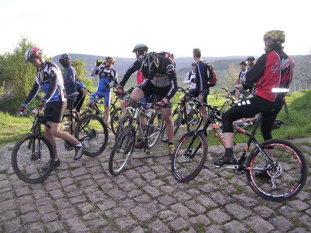
May 29, 2008
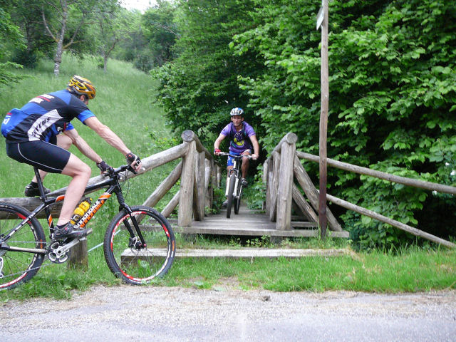
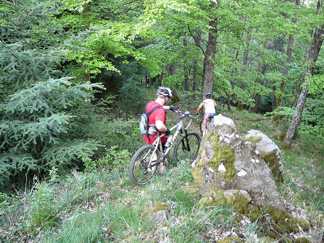
"near Murbach"
 27-24°C 80-75°F
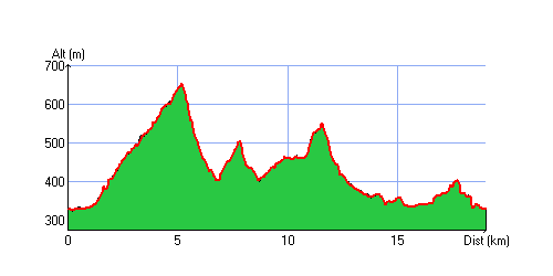
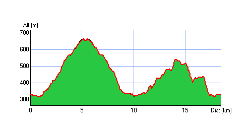
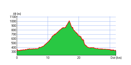
20 km 12 miles, 1h40 Elev.Gain 780 m 2500 feet

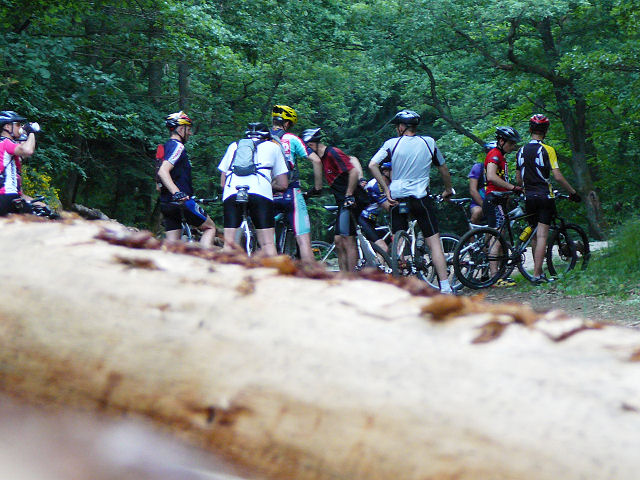
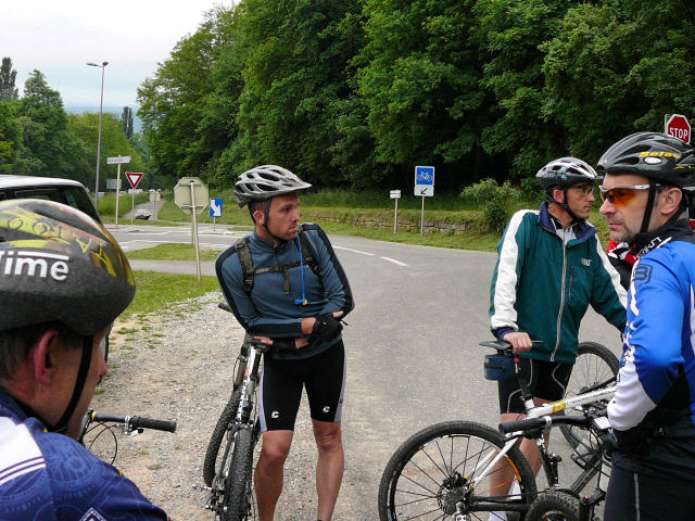
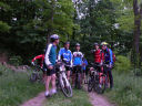
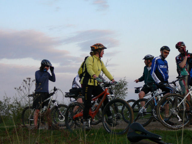
15 MTB (Michel, Christian, Julien, Jean, Jean-Claude, Franck, Denis, 2 Thierry, Thomas, Stéphane, Bernard, Claude, 2 Christophe)
 appointment at 6:30PM in Guebwiller
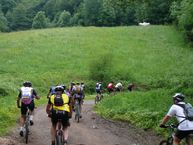
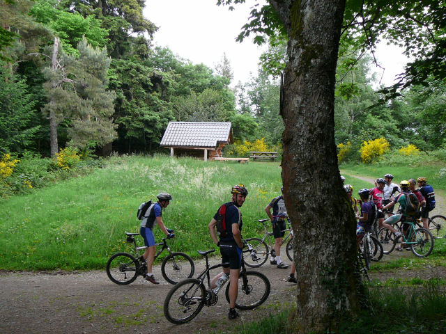
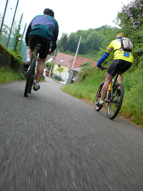
Buhl, Munsteraeckerle, Murbach, Murbach, Pont St Barnabé, col du Schrangen, Murbach, Buhl ...
20h55 Guebwiller
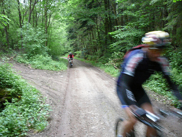
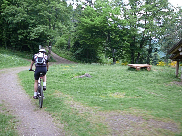
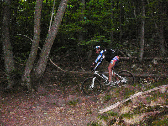
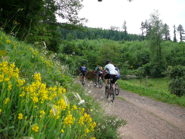 climb |
 turn |
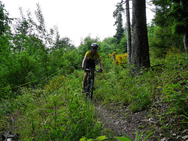
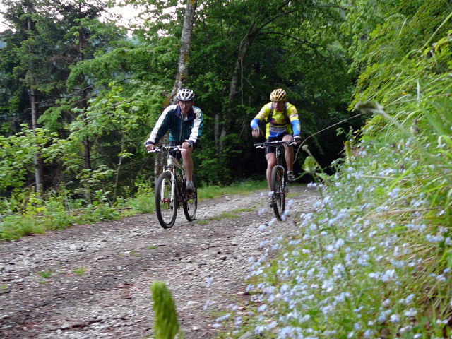
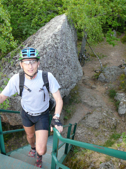
 Munsteraeckerle |
 Thomas |
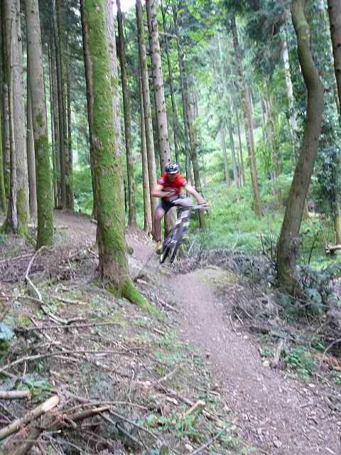 jump |
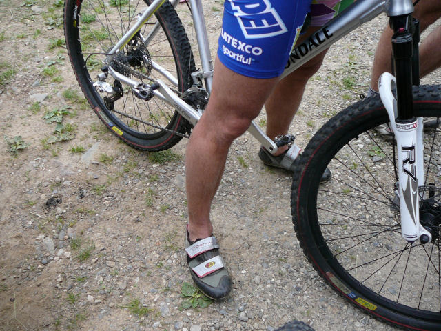
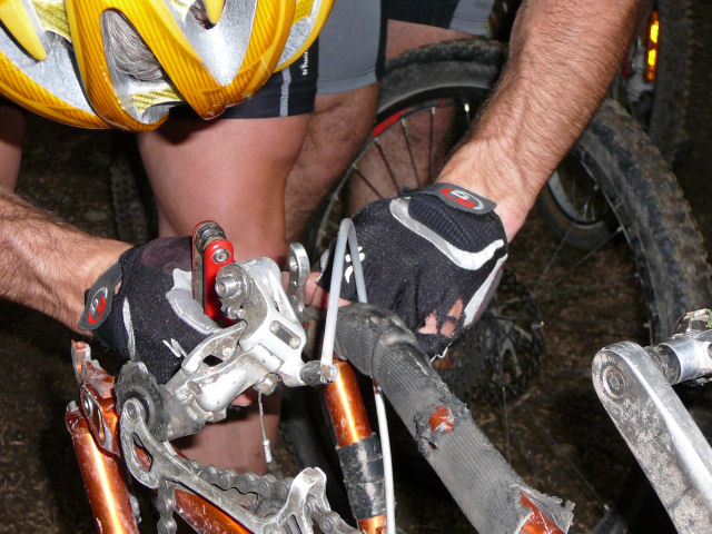 derailleur hanger |
 (2) |
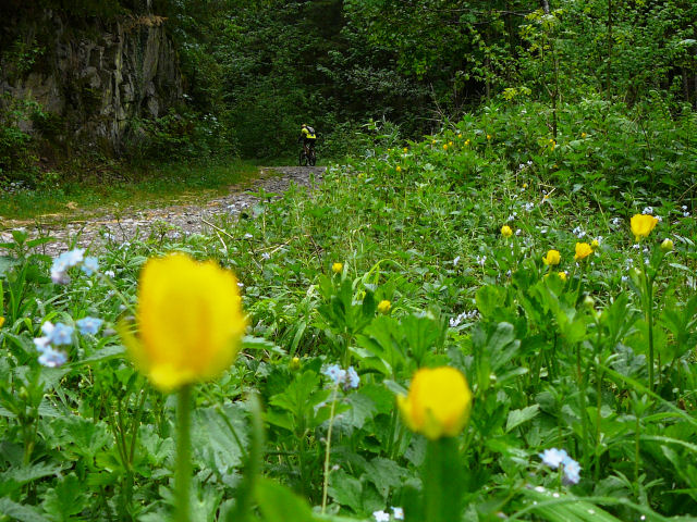
 green |
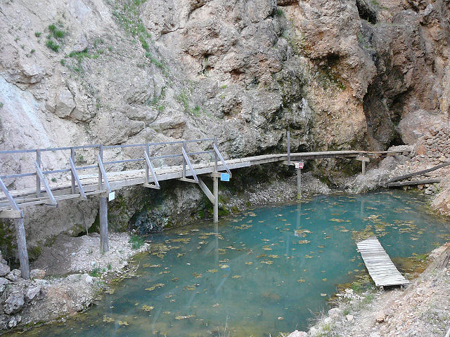
 bridge |
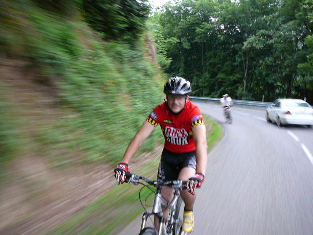
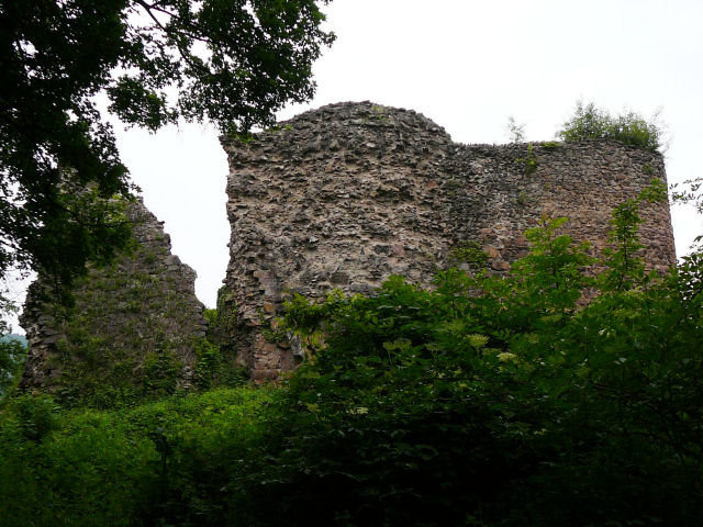
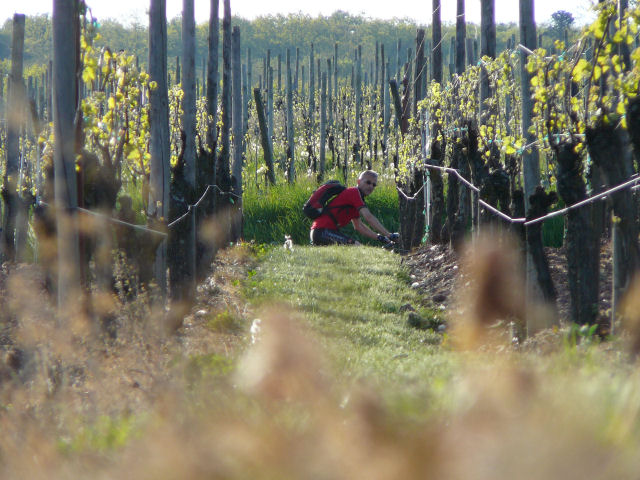
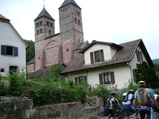 Murbach |
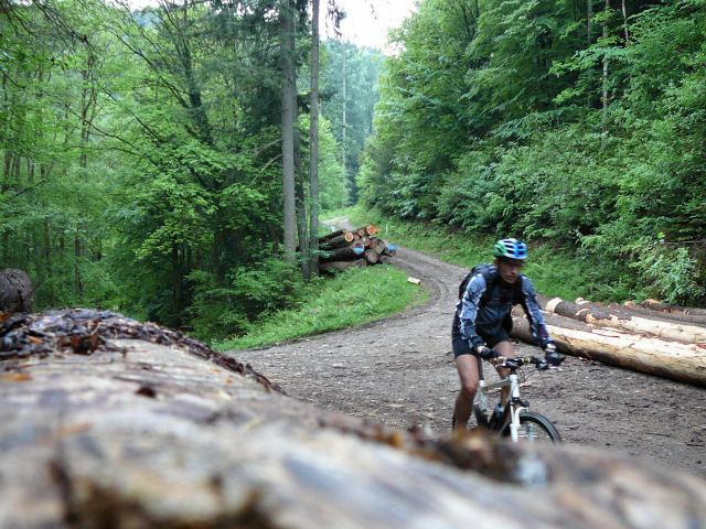
 trunk |
 Julien |
 Thierry |

- nice trip from Michel
- weather: storms in the mountains .... no!!
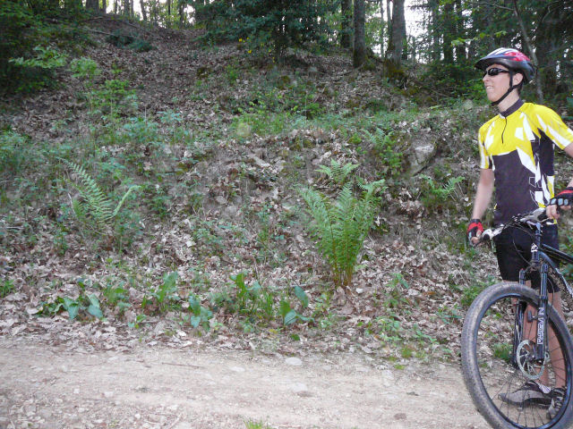
May 22, 2008
"Hugstein and more"
17-14°C 62-57°F20 km 12 miles, 1h35 Elev.Gain 740m 2400 feet
14 MTB (Michel, Yves, Gérald, Christian, Jean, Fabien, Franck, 2 Thierry, Thomas, Stéphane, Bernard, Claude, Christophe)
appointment at 6:30PM in GuebwillerHugstein (or Peternit, Munsteraeckerle) ...
20h50 Guebwiller
 winter |
 summer |
 pout |
 speed |
 Thierry |
 Munsteraeckerle |
 Hugstein |
|
 Franck |
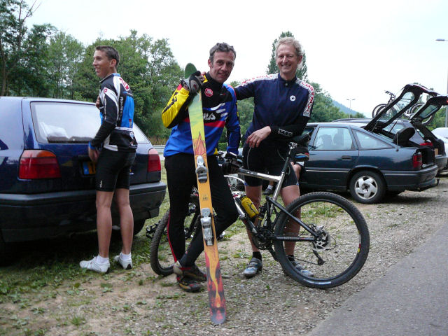 ski |
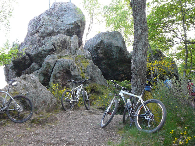
May 15, 2008
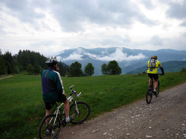
"clouds at Geishouse"
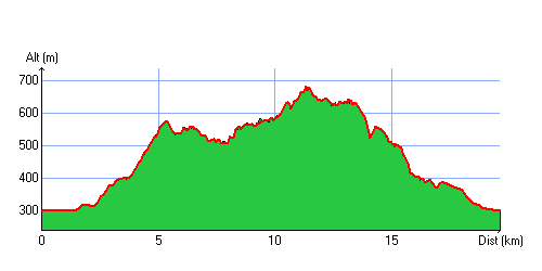
17°C 62°F34 km 21 miles, 2h10 Elev.Gain 800m 2600 feet
3 MTB (Claude, Denis, Christophe)
appointment at 6:30PM in Vieux Thann (just after the rain)Willer then Goldbach, Altenbach, ... near Bessayfels Geishouse, Moosch, Thur, Willer-sur-Thur, Bitschwiller les Thann
9:10 PM Vieux Thann
 path |
 yellow |
 Christophe |
 duo |
 clouds |
 downhill |
- chance: the rain stops just before the start
- Claude thank you! the summit over Geishouse (Haberkopf) is superb
May 7, 2008
"Steinbach valley "
 24-22°C 75-71°F
21 km 13 miles, 1h30 Elev.Gain 720m 2300 feet
11 MTB (Michel, Yves, Julien, Fabien, Franck, Bernard, Claude, 2 Thierry, Thomas, Christophe)
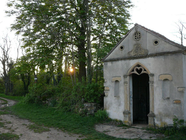
appointment (Wednesday) at 6:30PM in Cernay. Uffholtz, direction Wattwiller (toward the equestrian center), then Pastetenplatz, "hard" downhill (isn't it Thomas?), Amselkopf col (=blackbird ...) (1800 feet) , stop at Hirnelestein (climbing rock) , Donnerloch mine , Chapel St Morand ..., Cernay
20h50
 Fabien 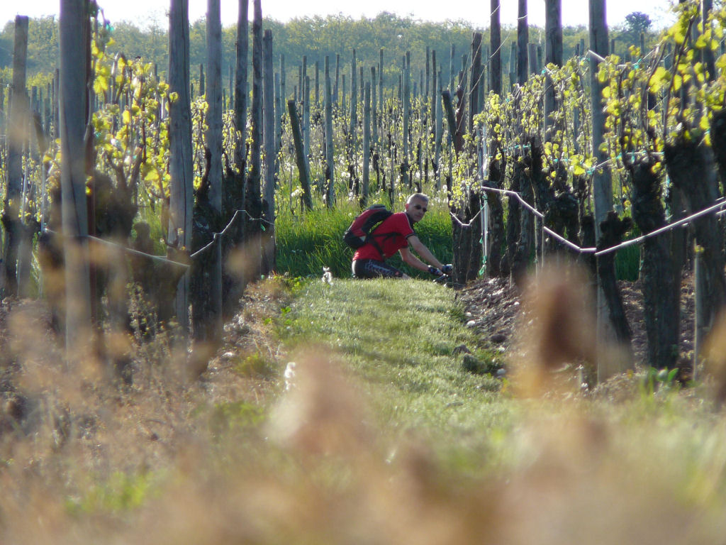 |
 road |
 Thierry |
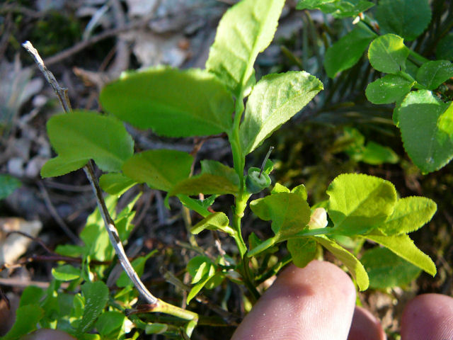 bilberry 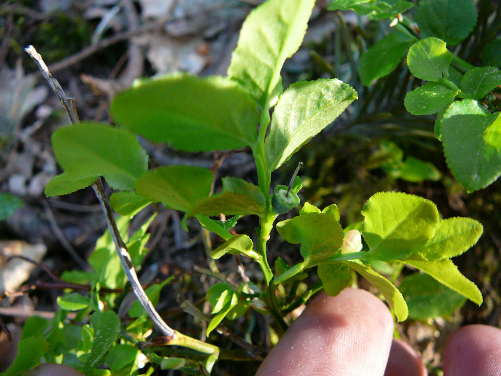 |
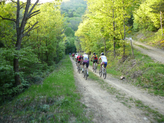 group |
 Franck |
 Downhill |
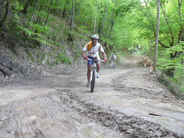
 Thomas straight |
 Hirnelestein |
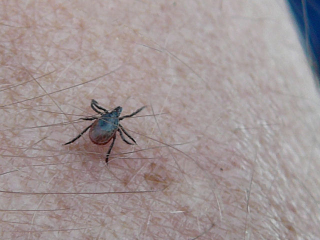 tick |
 Christophe |
 Donnerloch mine |
 chapel St Morand 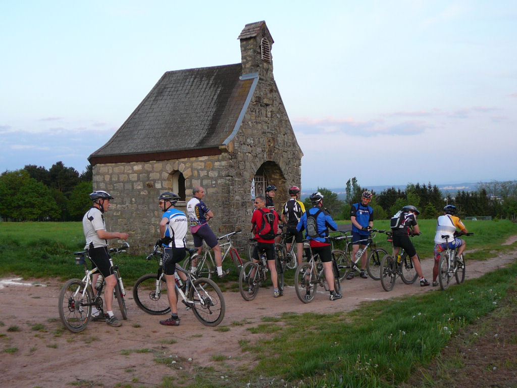 |
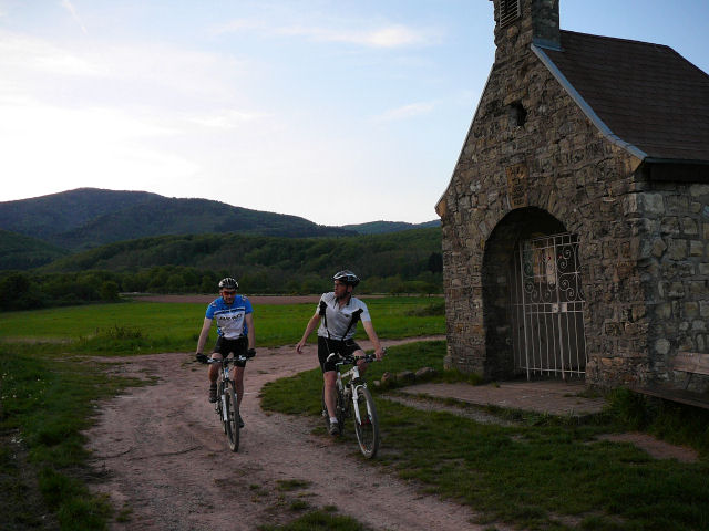 duo 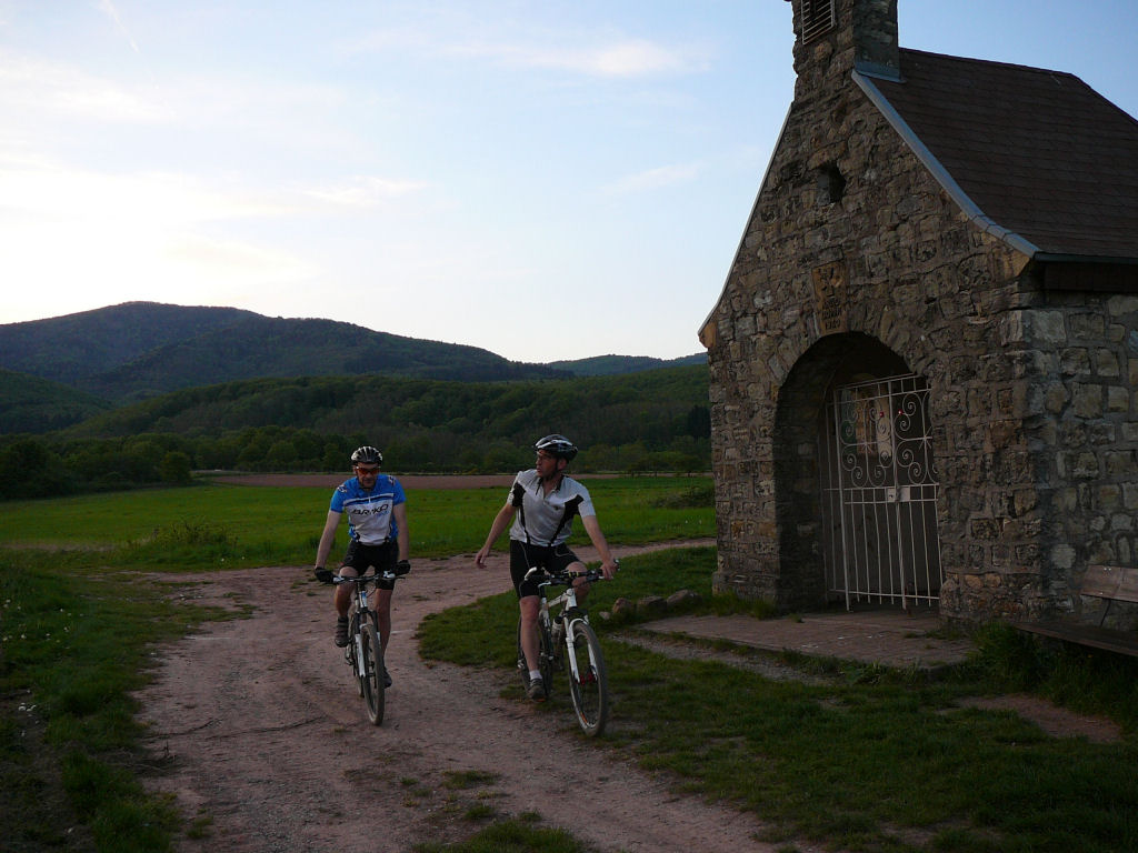 |
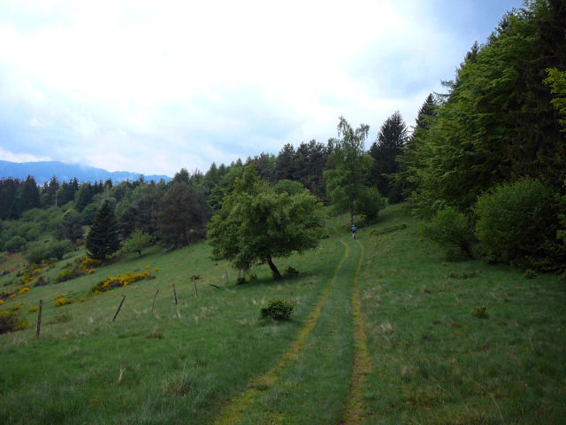
Michel has produced another variant from April 26, 2007 trip.
The next time we need to slow down at kilometer 10 (mile 6.2), as the "Erzenbach" waterfall is just 50m (160 feet) to the left!
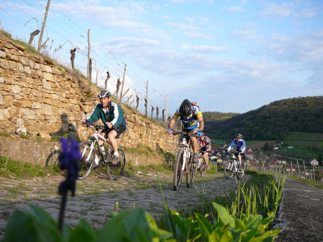
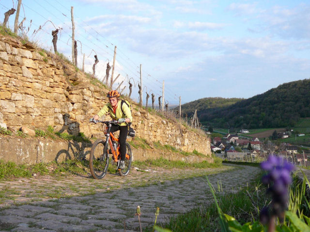
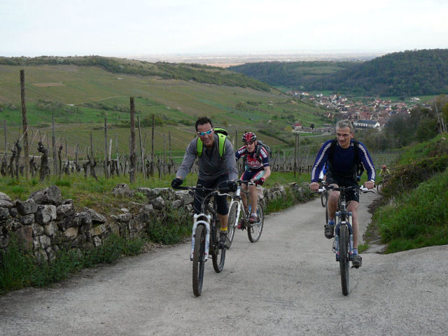
April 24, 2008
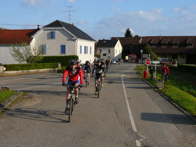
"vineyard"
18°C ?? 64°F ?? 28 km 17 miles, 1h50 Elev.Gain 670 m 2200 feet
15 MTB (Huguette, Claude, Michel, Denis, 2 Thierry, Thomas, Gérald, Maxime, Fabien, Yves, Julien, Christian, 2 Christophe)
appointment at 6:30PM in Guebwiller There is a lot of people and everybody seems (yet) happy!
Today, we are going to the vineyard....
Stop stop!! Denis should control all bikes.
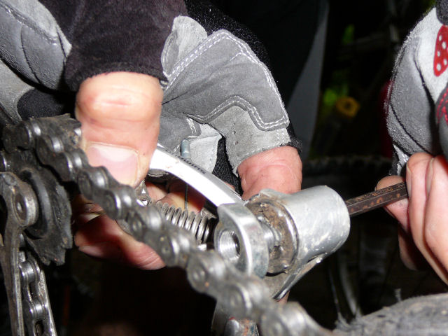
We are going to Bergholtz Zell, Orschwihr, Soultzmatt, a great rise in the vineyard to reach the calvary (or the cherry tree !!) Near Pfaffenheim we turn back (direction Schaefersloch (?)) then climb to the chapel of Oelberg. Nice trail between trees then going round the quarry (I'm not sure if it is exact on the map!) Stop in the field over Westhalten, downhill and cross the village. There is no climb anymore ... Oops! this is really the last one to join the Chapel of Bollenberg. Meanwhile we meet a viper (TBC!) and Gerald trains to a change of chain! Arrival to Guebwiller
20h50 For a first trip, it was more sportly than the Waldeck!!
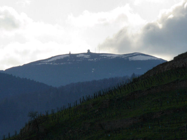 radar du Gd Ballon  |
 tire 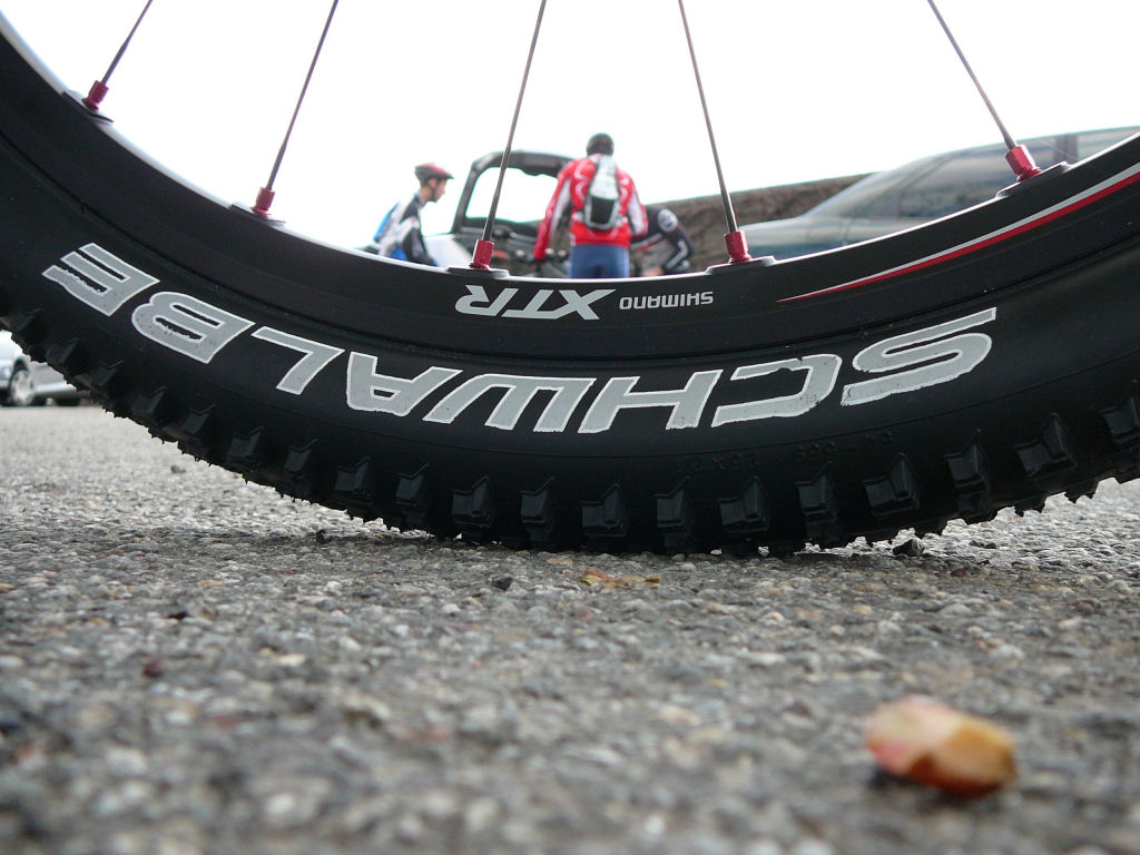 |
 Denis 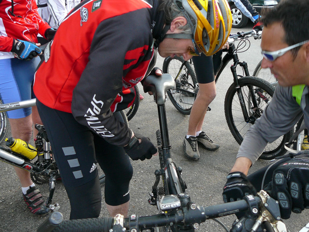 |
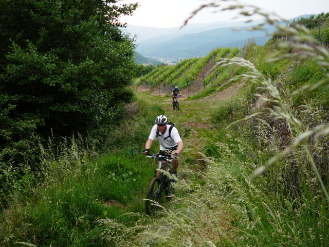
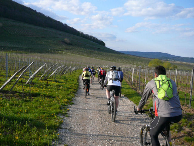 vineyard 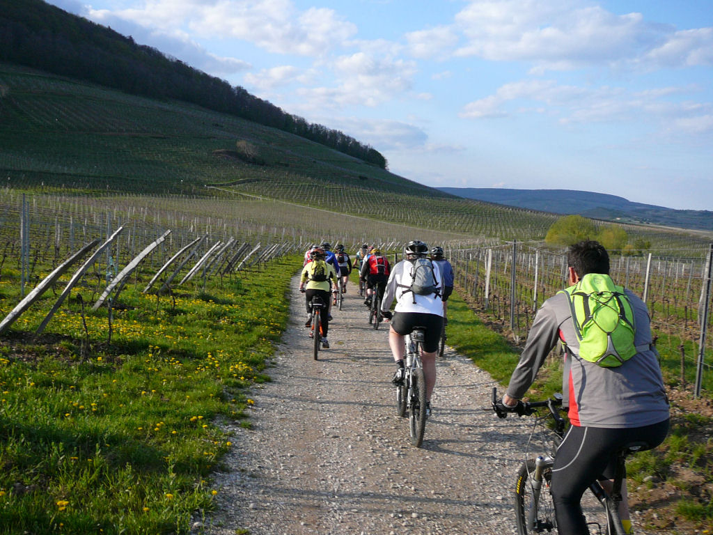 |
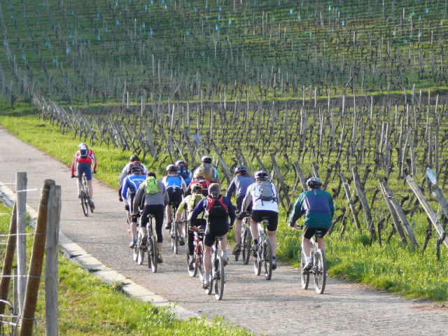 group 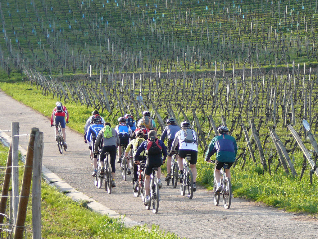 |
 road 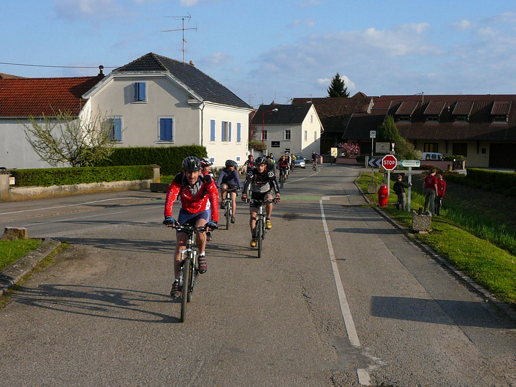 |
 climb 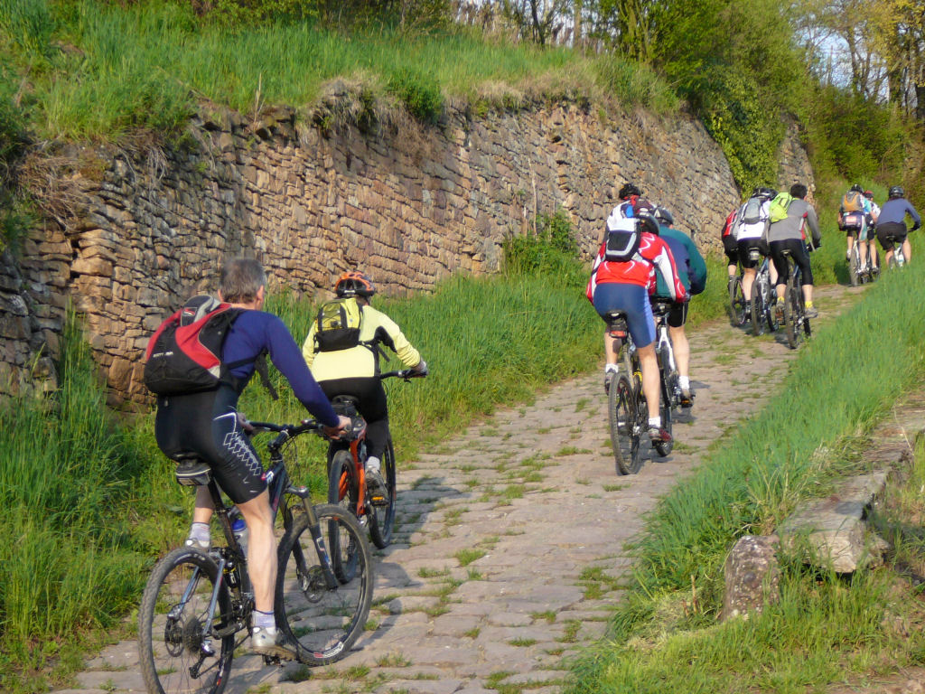 |
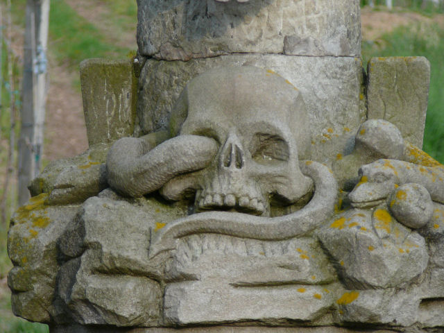 snake 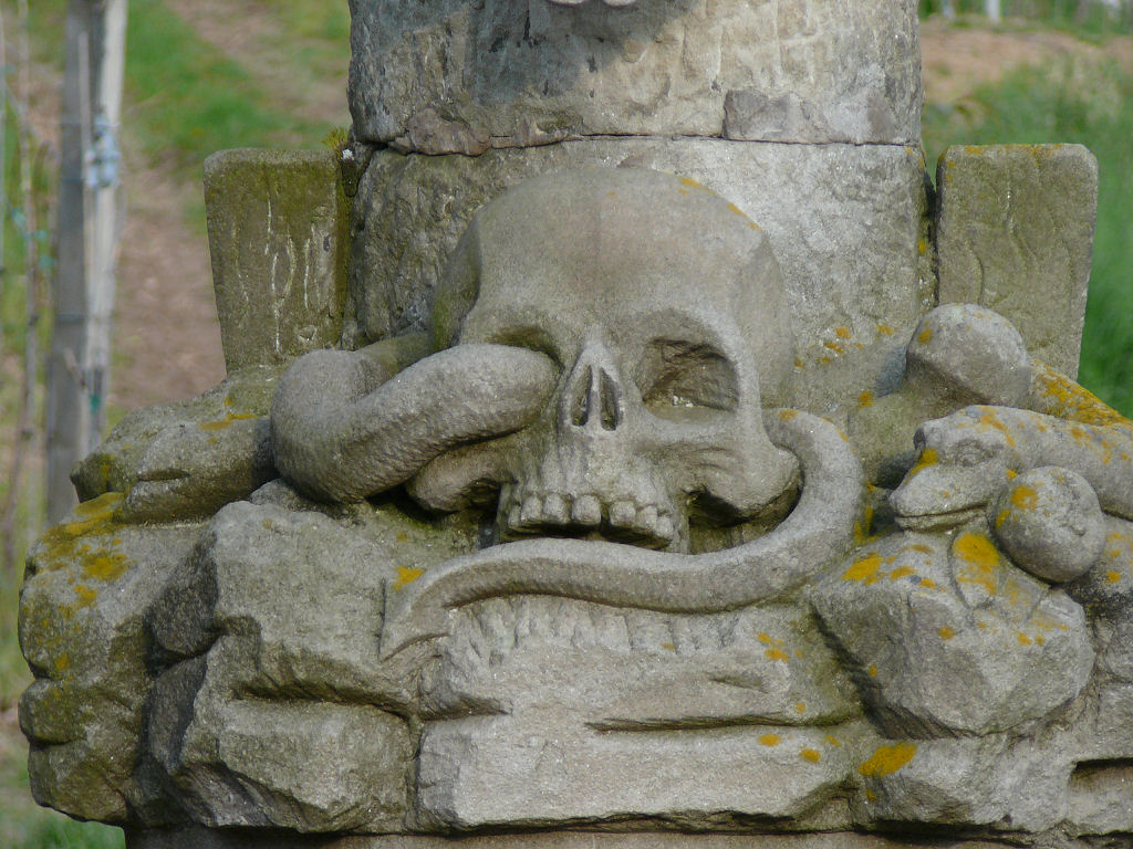 |
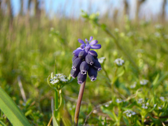 Grape hyacinth  |
 Claude 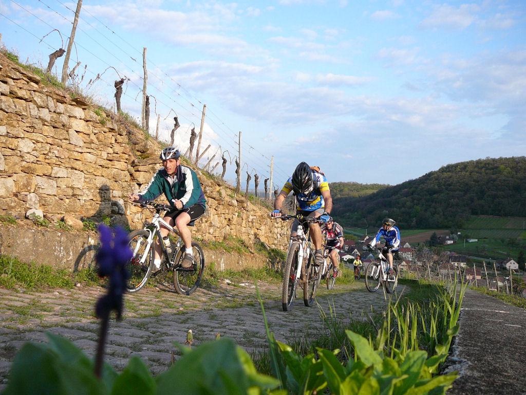 |
 Ch + Yves 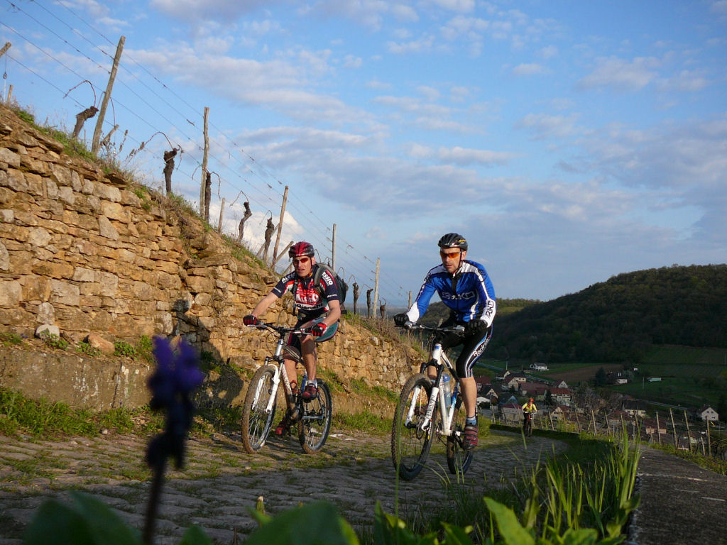 |
 Huguette  |
 G + F  |
 group (photo: CK 2) 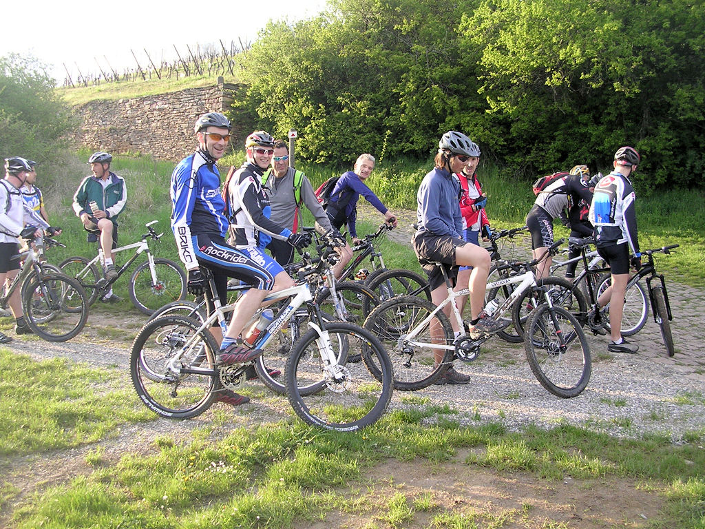 |
 group (photo: CK 2) 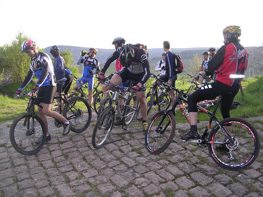 |
 water 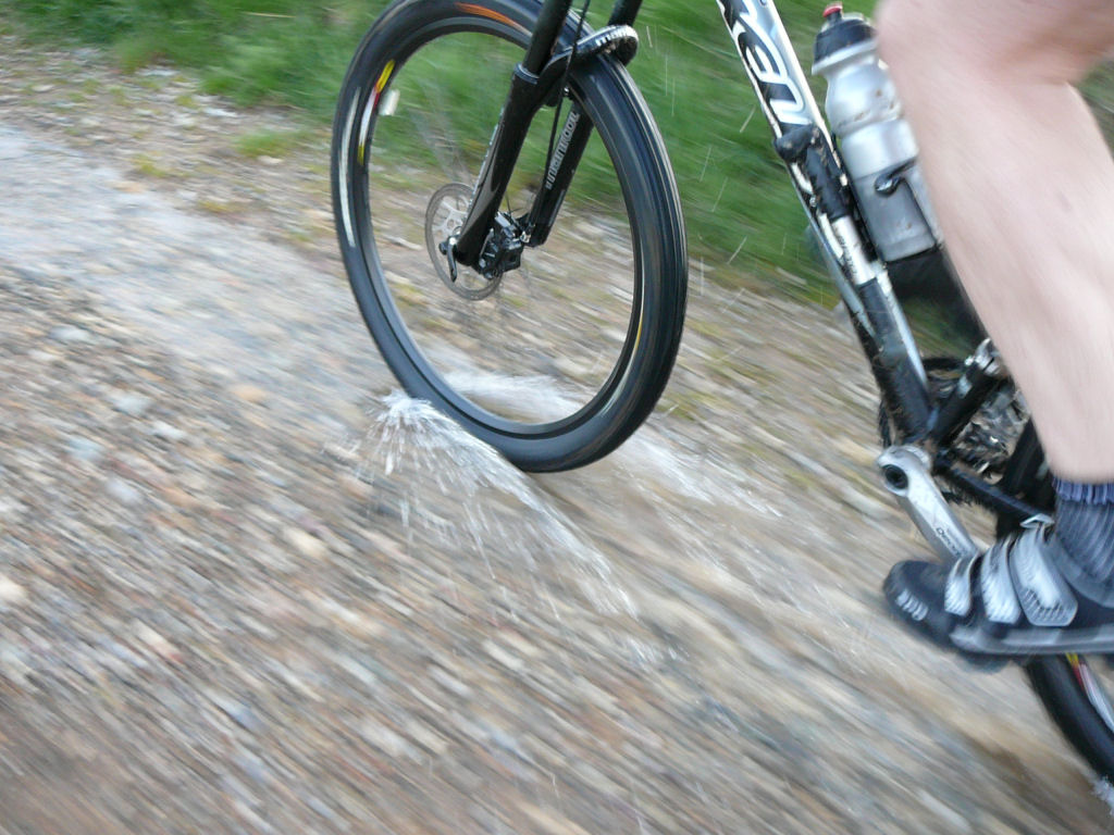 |
 Oelberg 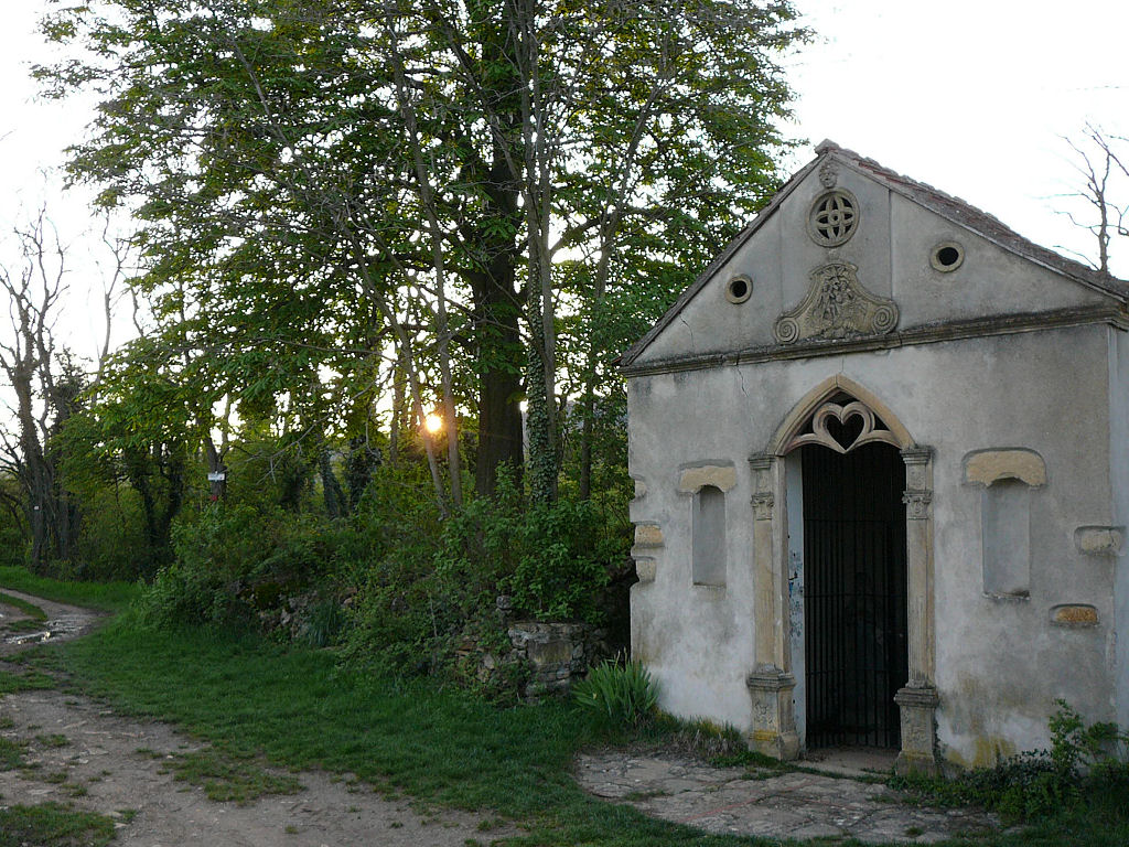 |
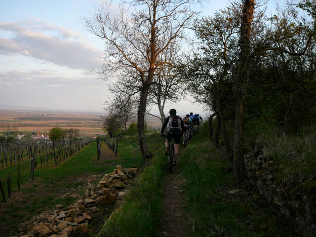 in single file 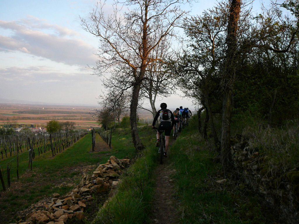 |
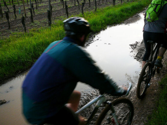 puddle  |
 Thierry 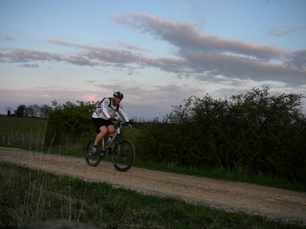 |
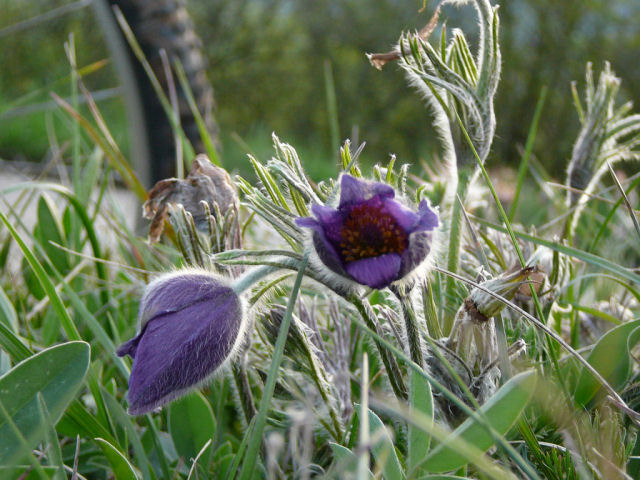 Pasque flower  |
 break 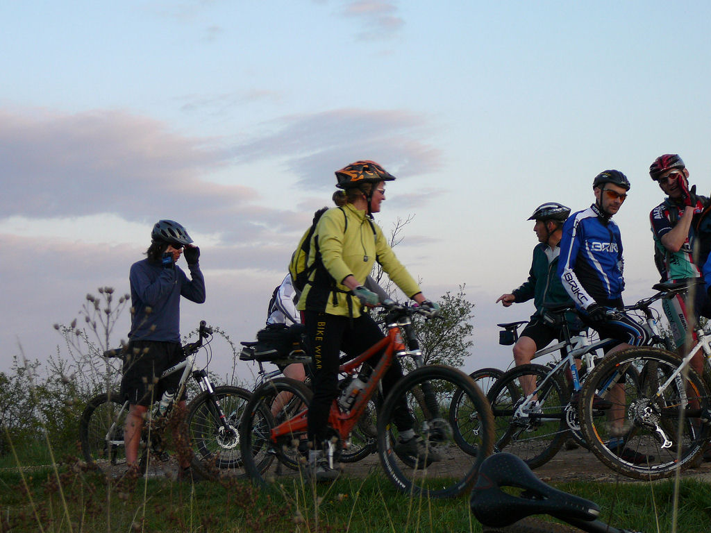 |
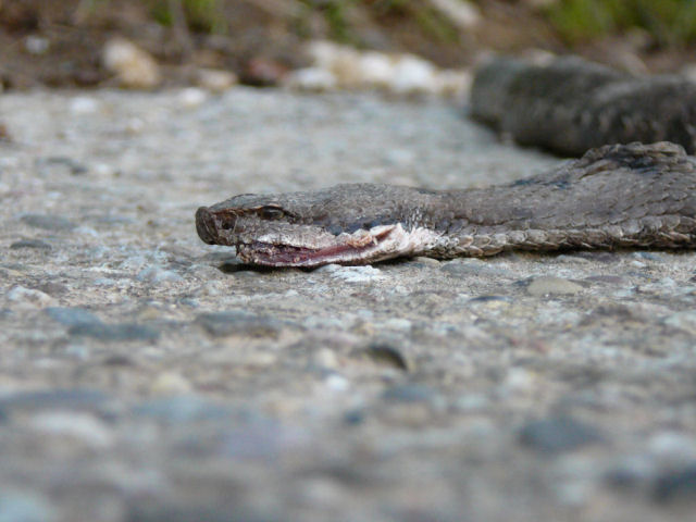 viper? 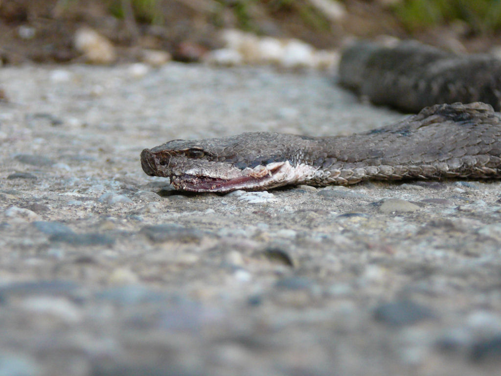 |
- congrats to everyone
