
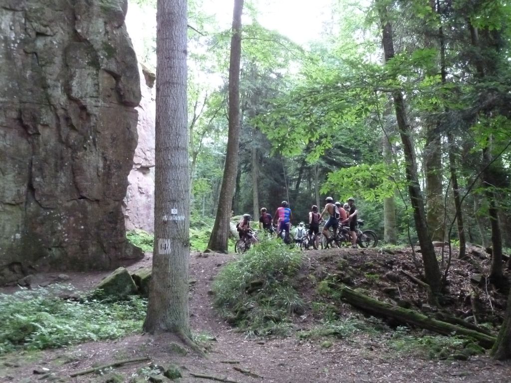
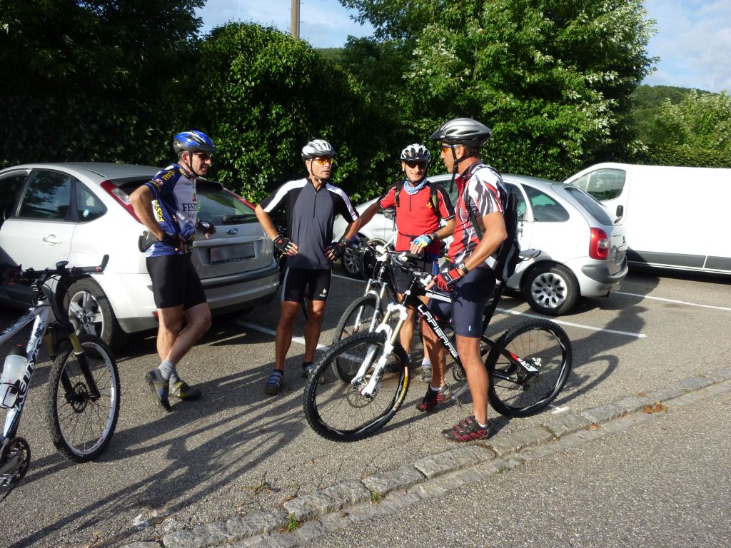
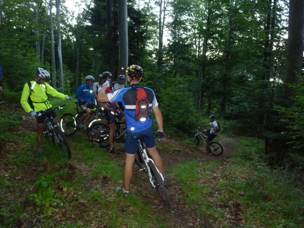
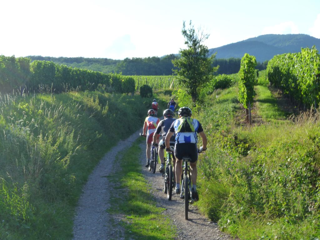
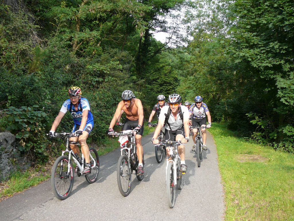
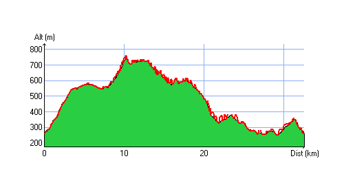
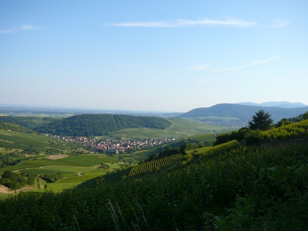
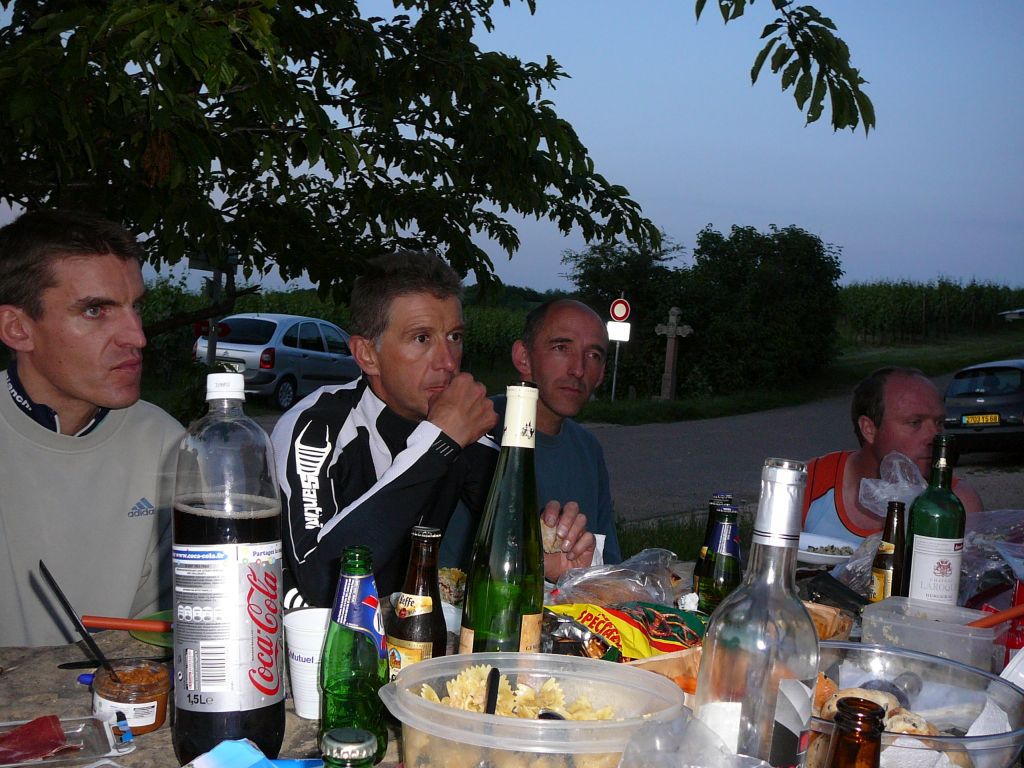
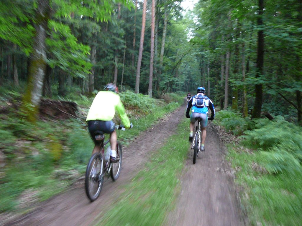
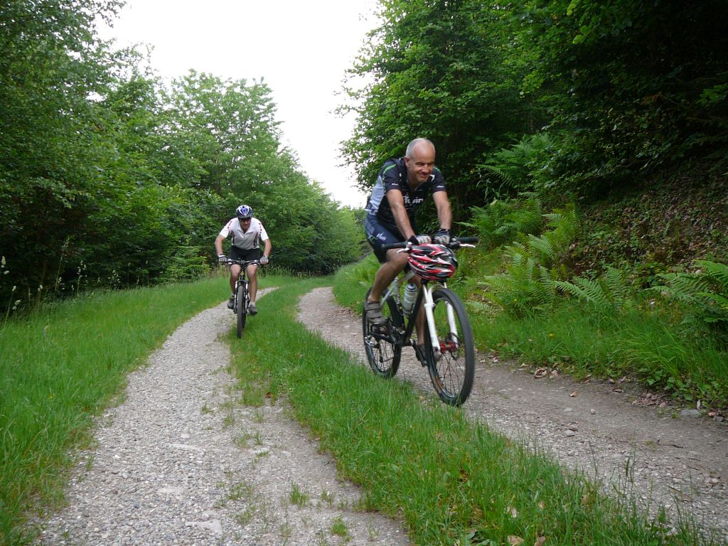
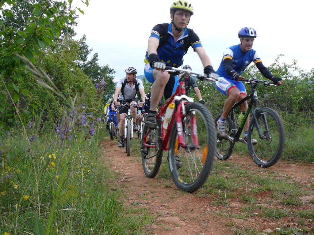
02/09/2010
"von Guebwiller nach Bollenberg"
 21-18°C
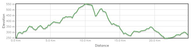
25 km, 1h40 Hm 620m

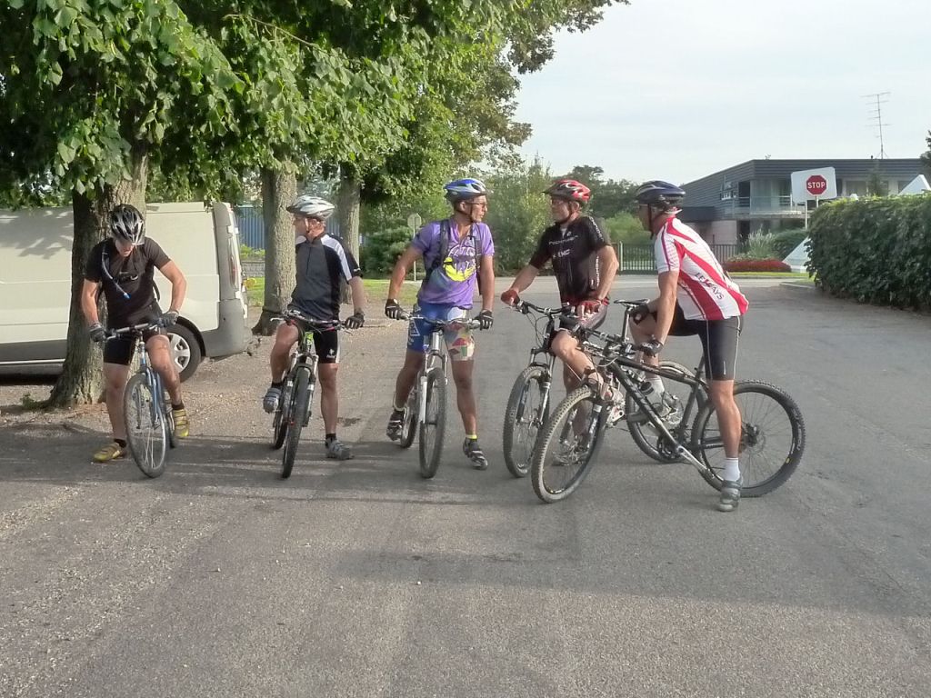
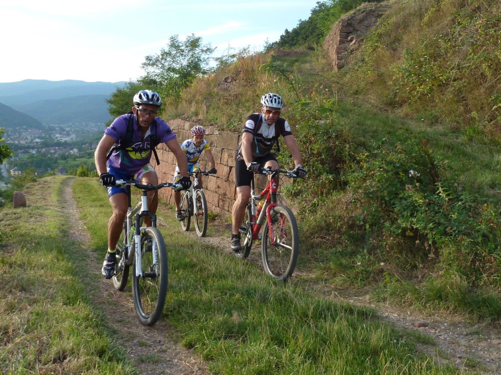
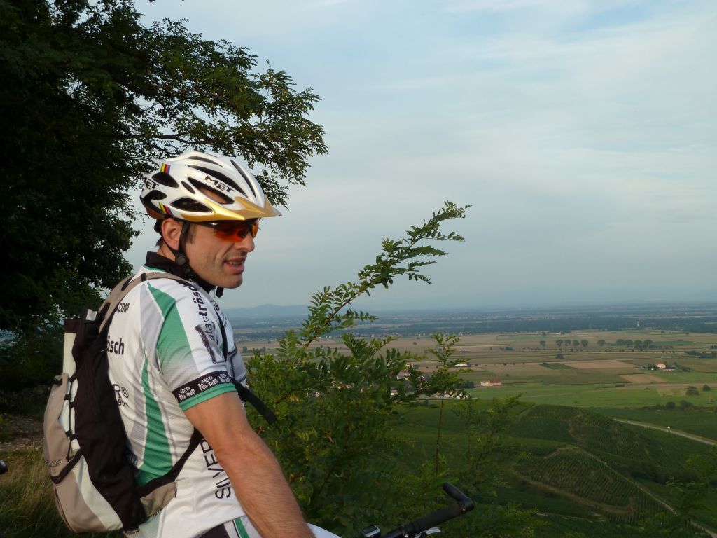
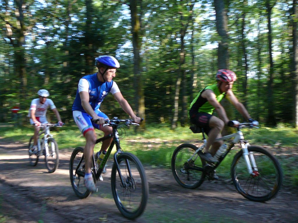
13 MTB (Alain, Christian, Christophe, Claude, Denis, Eric(2), Franck, Gilles, Jean, Julien, Michel, Pascal(2), Thierry)
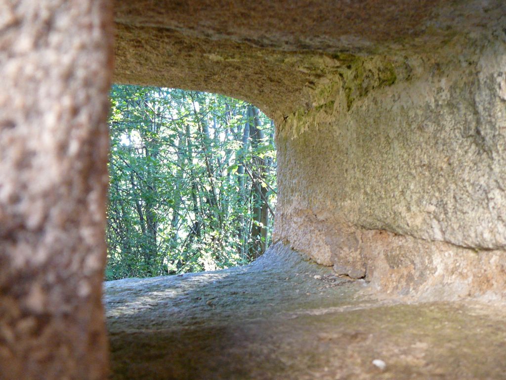
Guebwiller, Unterlinger, Oberlinger, Croix de Mission, Orschwihr, Bollenberg, Guebwiller.
 |
 Franck, Christian, Jean |
 Denis |
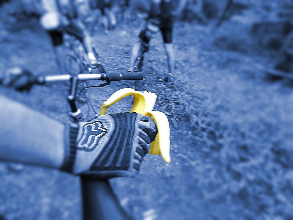 Banane |
 33 Fotos (G Photo)
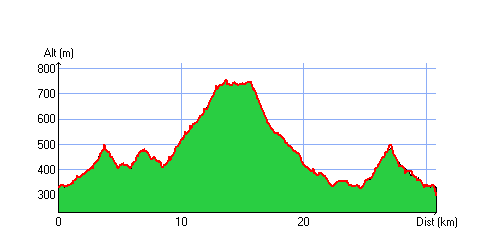
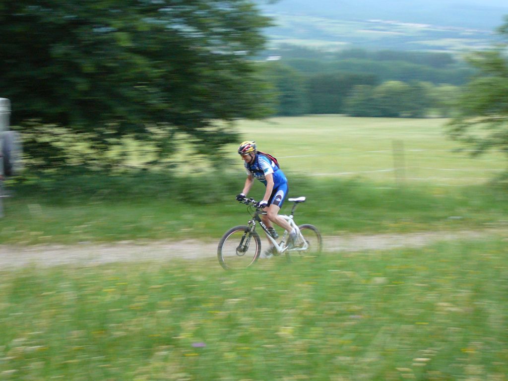
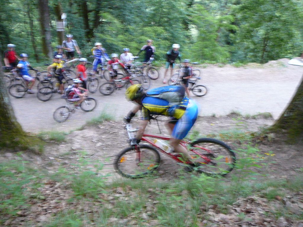
26/08/2010
"Steinbruch von Bergholtz - carrière de Bergholtz"
30-25°C20 km, 1h45 Hm 530m
15 MTB (Alain, Bernard, 2 Christophe, Claude, Eric, Gilles, Jean, Jean-Luc, Julien, Michel, Pascal, Romuald, 2 Thierry)
Guebwiller - Buhl - carrière (Steinbruch) de Bergholtz - Dreibannstein - Bannstein - Guebwiller
 Peugeot Partner |
 |
 |
 |
21 Fotos (G Photo) 19/08/2010
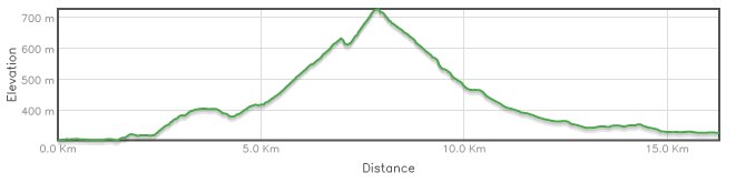
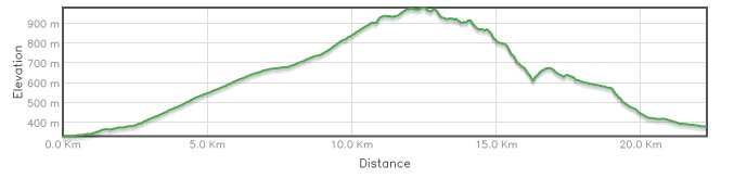
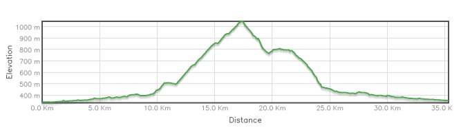
"der Fall - chute au Thanner Hubel"
 25-21°C
26 km - 1h55 Hm 910m
9 MTB (Bernard, Christophe, Claude, Fabien, Gilles, Julien, Michel, 2 Thierry)
Thann - Bitschwiller - place Zundel - Thanner Hubel (1030m) - Vieux-Thann
 Lapierre Zesty 714 |
 |
 |
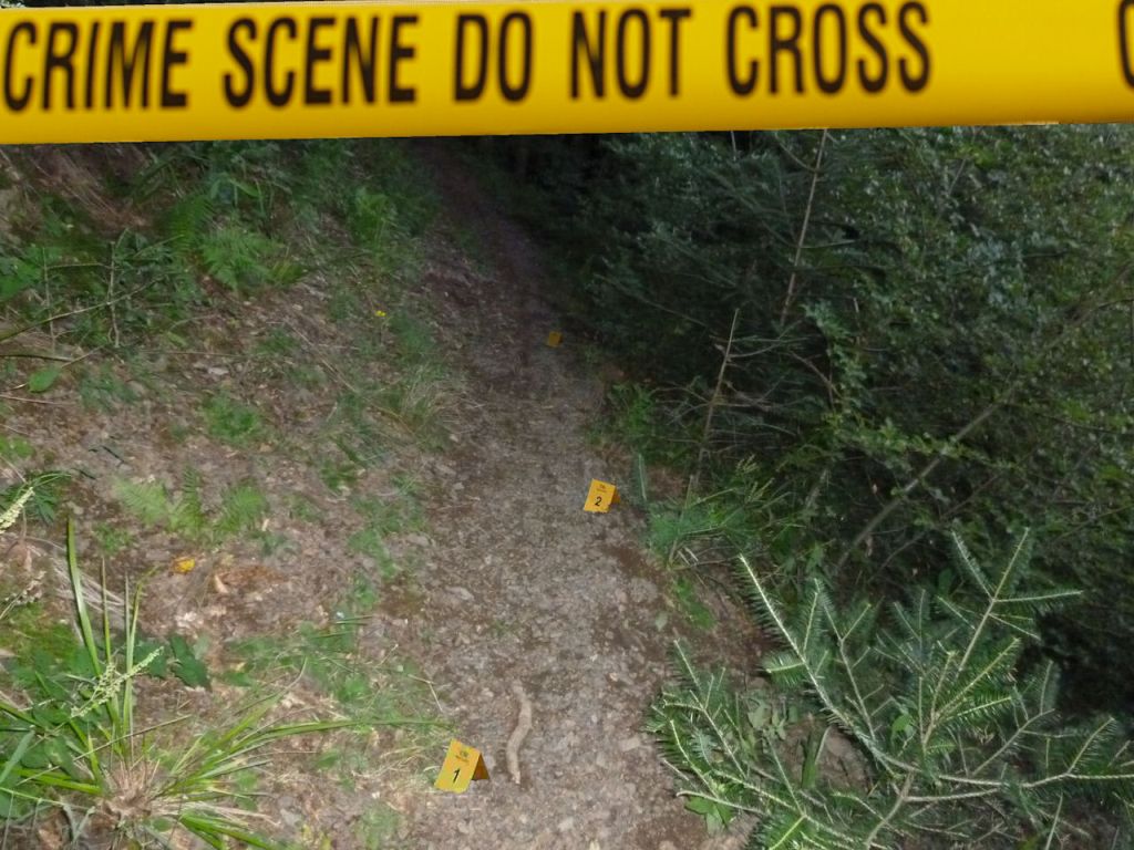 NCIS |
28 Fotos (G Photo) Panorama (Thanner Hubel) ....
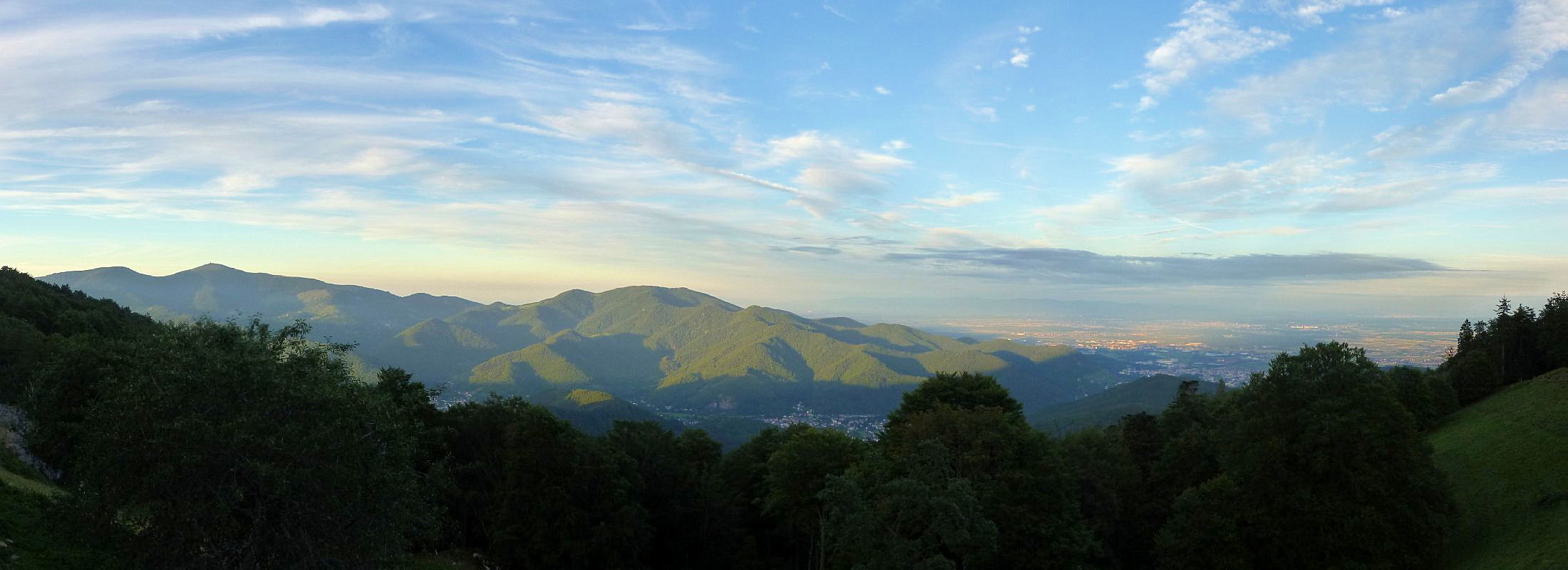 2200x800
12/08/2010
"der Ulanenfriedhof - le cimetière des Uhlans"
25-21°C16 km - 1h25 Hm 500 m
6 MTB (Anthony, Christophe, Fabien, Gilles, Michel, Timothe)
Cernay - Uffholtz - Wattwiller - Silberlochrunz - Biberstein - cantine Zeller - Wattwiller - Cernay
 |
 |
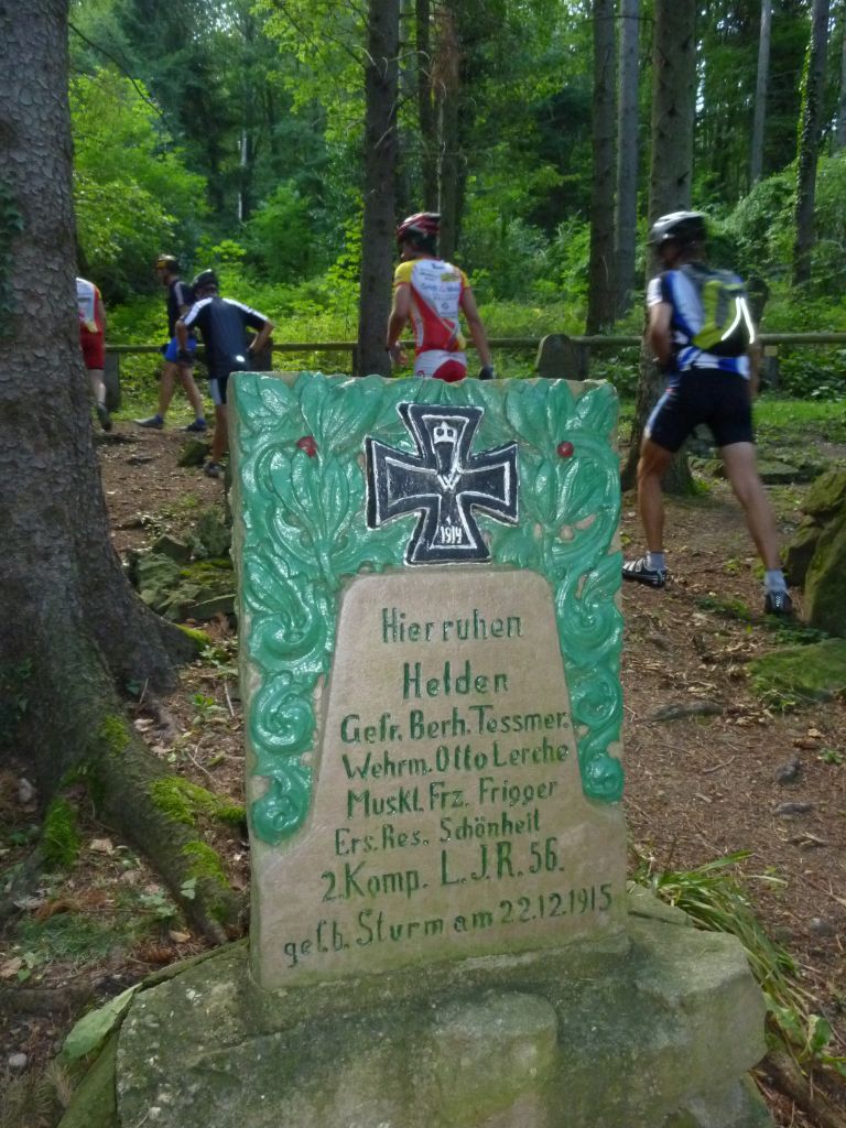 der Ulanenfriedhof |
 |
12 Fotos (G Photo) 05/08/2010
"pulse 0"
 17°C
17°C08/07/2010
"das Tal von Murbach - la vallée de Murbach"
31-25°C22 km, 2h20 Hm 800m
12 MTB (Anthony, Bernard, Christophe, Fabien, Franck, Gilles, Jean-Claude, Michel, Paolo, Stéphane, 2 Thierry)
Guebwiller - Pont St Barnabé - col du Schrangen - Col de Wolfsgrube - Lieserwasen - rocher St Pirmin - Ebeneck - Munsteraeckerle - Rimbach - col de Peternit - Rimlishof - Guebwiller
 |
 JC |
 Michel |
 Ebeneck |
44 Fotos (G Photo) 
 Youtube down (1:54)
 01/07/2010
"das Tal von Geishouse - la vallée de Geishouse"
32-25°C35 km - 2h35 Hm 900m
11 MTB (Bernard, Claude, Christian, Christophe, Daniel, Franck, Gilles, Jean, Julien, Michel, Thierry)
Vieux Thann, Bitschwiller, Willer sur Thur, Moosch, Geishouse, ....
 |
 |
 |
 |
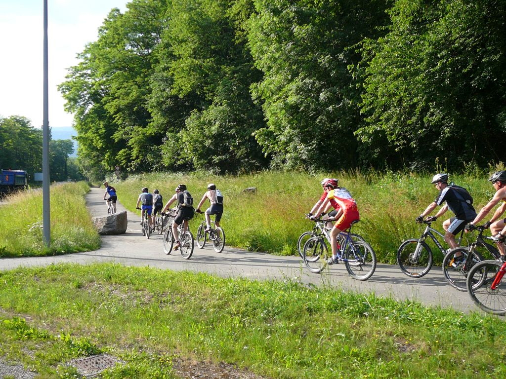
41 Fotos (G Photo) 24/06/2010
"Sonne - soleil pour le Hohlandsbourg"
28-20°C33 km - 2h30 Hm 840m
14 MTB (Alain, Bernard, Claude, Christian, 2 Christophe, Daniel, Eric, Franck, Gilles, Julien, Michel, Paolo, Thierry)
Westhalten, Osenbuhr, Stauffenmatt, Hohlandsbourg
Husseren-les-Chateaux, Voegtlinshoffen, Gueberschwihr und wieder Westhalten
 |
 |
 |
 |
43 Fotos (G Photo) 17/06/2010
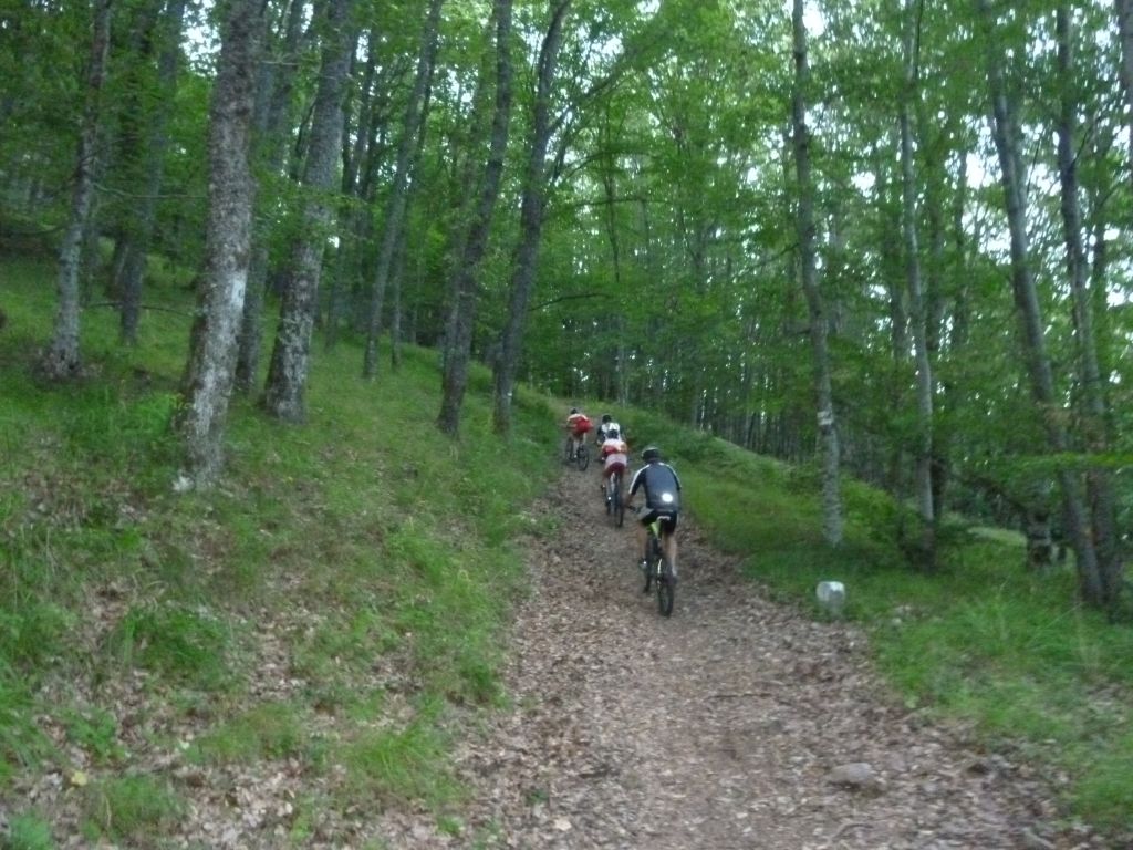
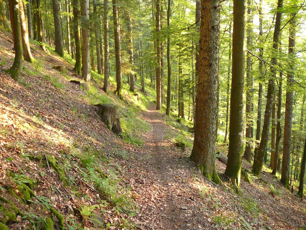
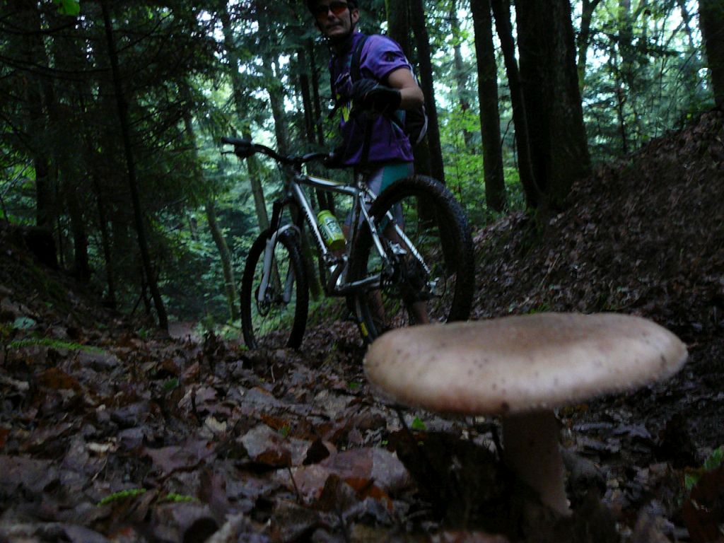
"in die Pilze gehen - allons aux champignons"
20-19°C16 km - 1h30 Hm 590 m
6 MTB (Christian, Christophe, Daniel, Franck, Michel, Thierry)
Guebwiller - Buhl - Lautenbach - Kleine Sulzbach - col du Bannstein - Dreibannstein - die Menhire von Appenthal - Guebwiller
 |
 |
 |
 |
16 Fotos (G Photo) 10/06/2010
"vallée noble"
32-25°C31 km - 2h30 Hm 800 m
15 MTB (Anthony, Bernard, Claude, Christian, Christophe, Daniel, Fabien, Franck, Gilles, Jean, Julien, Michel, Paolo, 2 Thierry)
Guebwiller - col du Bannstein - Wintzfelden - col du Firstplan - Borne Jaune - col du Wolfsgrube - Osenbach - col du Bannstein - Guebwiller
 |
 |
 |
 |
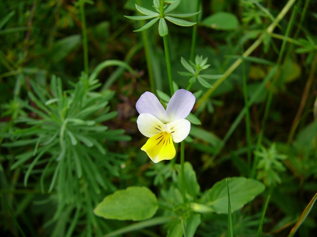
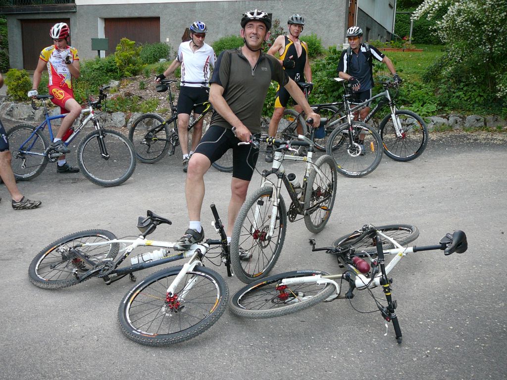
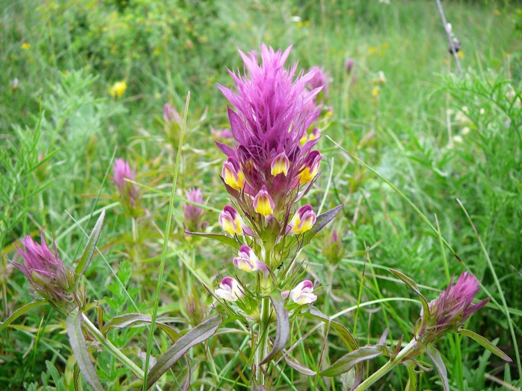
54 Fotos (G Photo) 03/06/2010
"die Blumen von Bollenberg - les fleurs du Bollenberg et le sentier vers le Schauenberg"
18-17°C32 km - 2h16 Hm 780 m
15 MTB (Bernard, Claude, 2 Christophe, Daniel, Denis, Fabien, Franck, Gilles, Hervé, Jean, Julien, Michel, Paolo, Thomas)
Guebwiller - Bollenberg - Westhalten - ND de Schauenberg - Westhalten - Bollenberg - Guebwiller
 |
 |
 Hervé, Paolo |
 |
79 Fotos (G Photo)  und vorher ?