

May 27, 2010
"Dreimarkstein"
 22-18°C 71-64°F
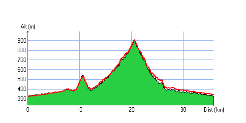
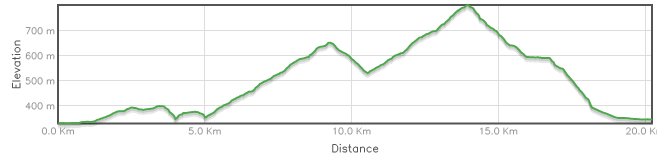
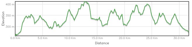
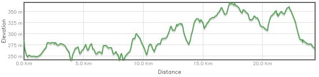
35 km 21 miles, 2h30 Elev.Gain 800m 2600 feet

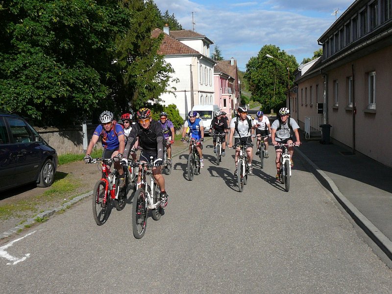
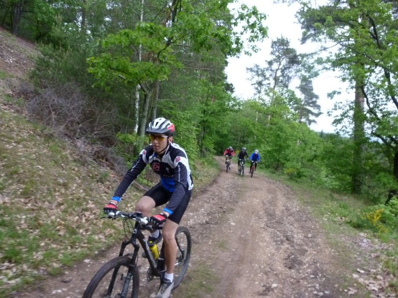
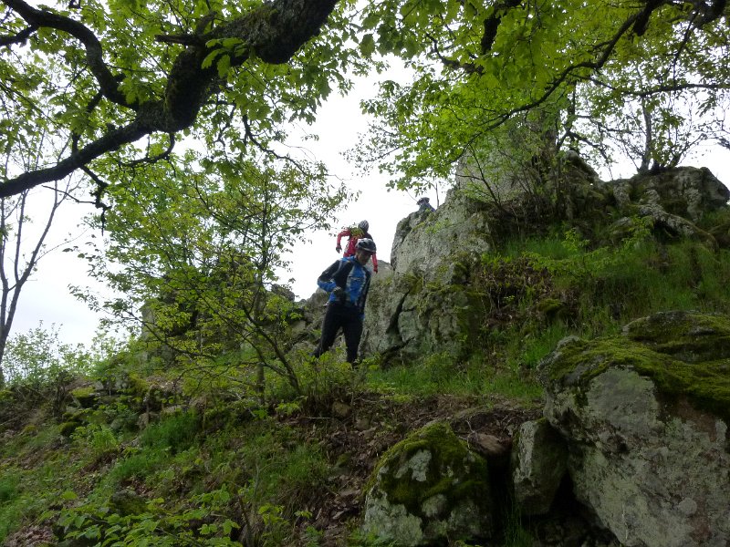
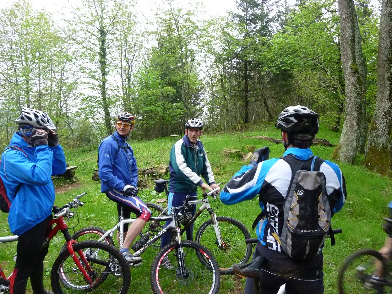
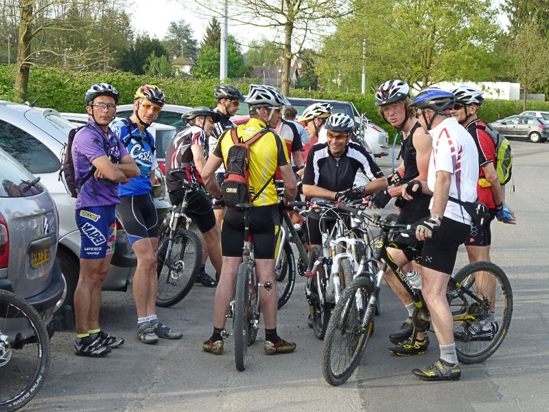
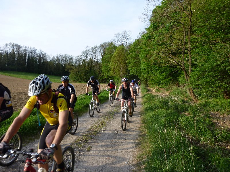
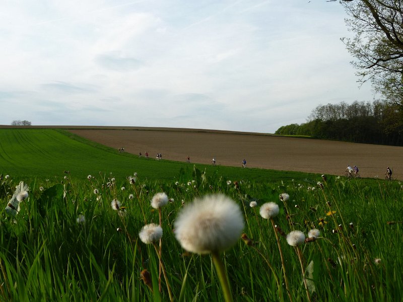
13 MTB (Bernard, Claude, Christophe, Daniel, Denis, Franck, Gilles, Jean, Michel, Paolo, Sébastien, Stéphane, Vincent)
Vieux-Thann - Bitschwiller - Willer-sur-Thur - Moosch - Col des Dreimarkstein - nice single track... Moosch - Vieux-Thann
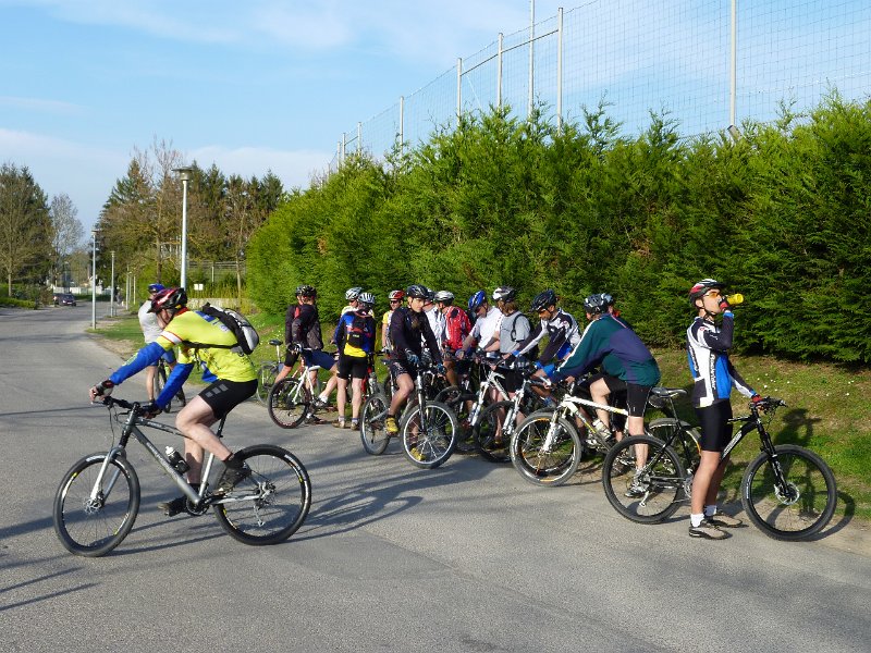
 group |
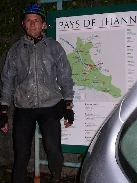
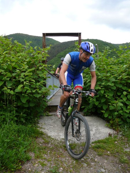 Paolo |
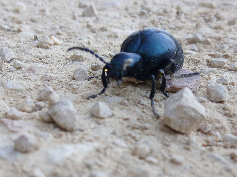
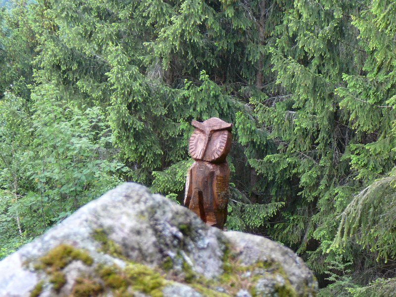 owl |
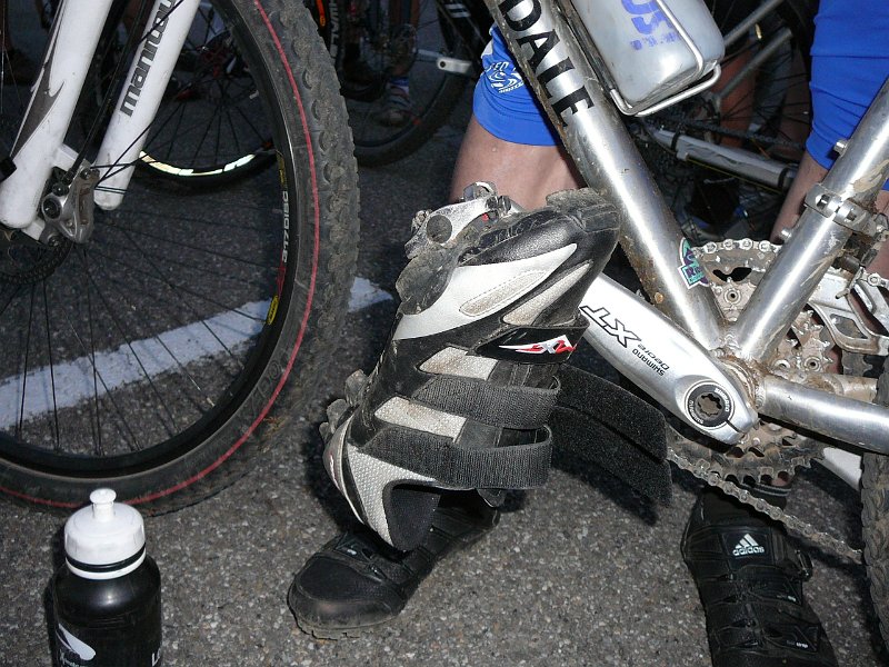 shoes |
 28 pictures (indexB)
- pictures and comments from Paolo: spakito68

- same trip as August 13, 2009
May 20, 2010
"Sattel en solo"

 12-10°C 53-50°F
35 km 22 miles, 2h30 Elev.Gain 840 m 2700 feet
1 MTB (Christophe)
Thann - Bitschwiller - Willer-sur-Thur - Moosch - Geishouse - Sattel (1070m)
Altenbach - Willer-sur-Thur - Bitschwiller - Thann
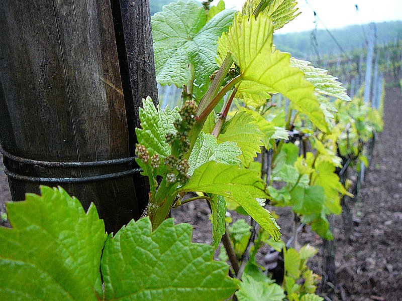 vineyard |
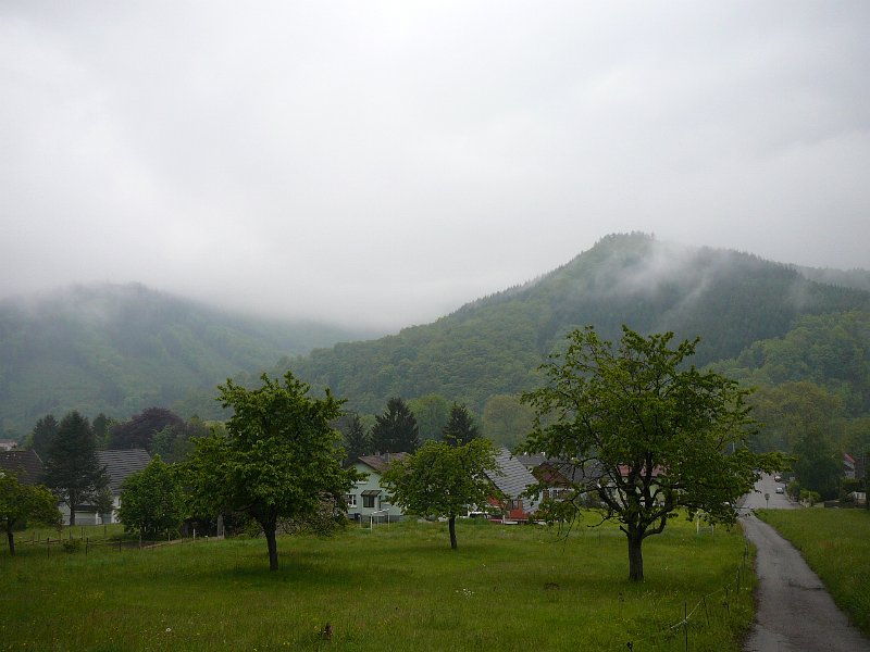 cloud |
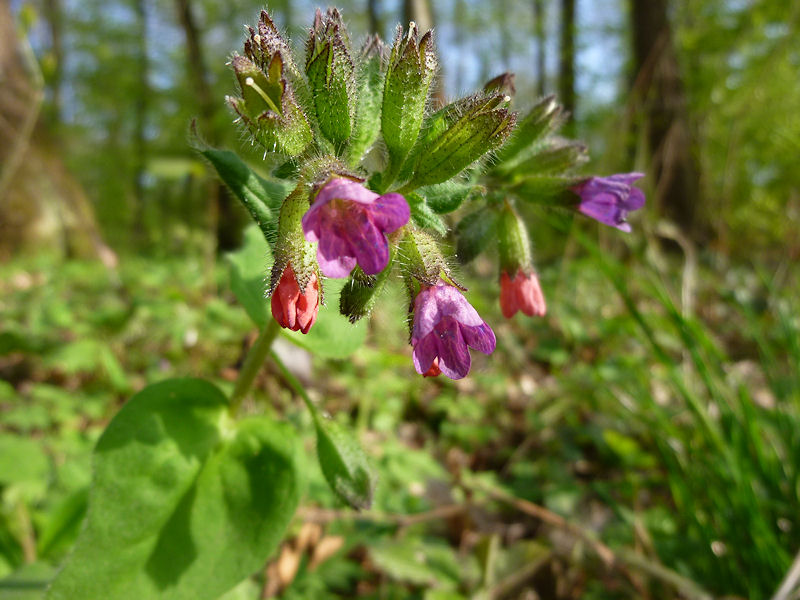
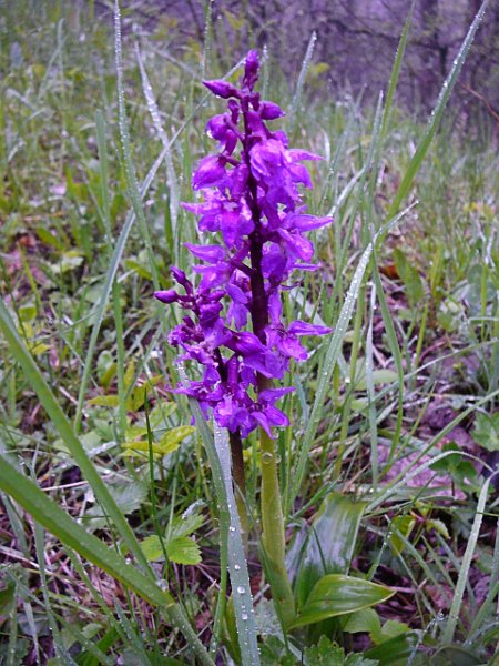 orchid |
 Thann |
14 pictures (indexB) - Eh boys, MTB is on thursday!!!
May 14, 2010
"Waldkapelle"
12-11°C 53-52°F20 km 12 miles, 1h40 Elev.Gain 670 m 2200 feet
 static
8 MTB (Christophe, Claude, Gilles, Jean, Julien, Michel, Thierry, Thomas)
Warning, no appointment this Thursday 13 (Ascension Day) but on Friday
 appointment at 6:30PM Vieux Thann (stadium)
To start, we go along the river (Thur) and in Thann, turn to the right (Kattenbach). From there we will follow a path in the vineyards through the Chapel of St Urbain... All this is very cool (except a little muddy part). Miles 3: we start the rise to the Waldkapelle (576m) and then, ok to continue? Yes!! It will be the col du Grumbach and then Wotan (and his magnificent oak with 2,90m 9,5 feet circumference).
Break!!
We need better dress for the descent tell us Michel..... but it's still going up (... 1000 feet only) to reach Pastetenplatz (780m). It's the highest point from the trip. From there, it's only downhill (extra ... descending 500 m 1600 feet); Jean let me go ahead him because his shoulder still isn't 100% ok... but even with 10% capacity, he has no problem.
We return to Waldkapelle and then the single trail to the left from Rangenkopf going to the Rangen's cross.
Another stop to admire the view over Thann
Next part:.... downhill (really quick for Julien, ... and also others; I see them only during the breaks!!) direction Kattenbach, and return (on the bicycle path) the Thur river along.
Beautiful trip, but we will need time to cleanup the clothes and the bike!!
 Thomas |
 oak |
 |
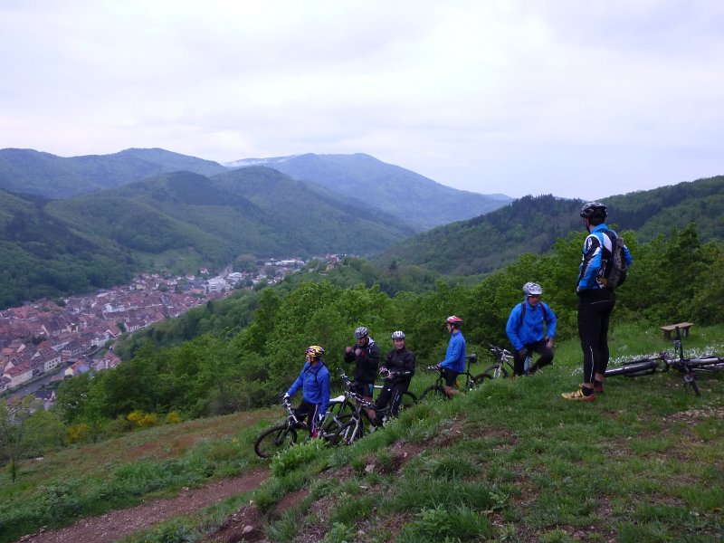 Rangen |
28 pictures (indexB)panorama from Thann ....
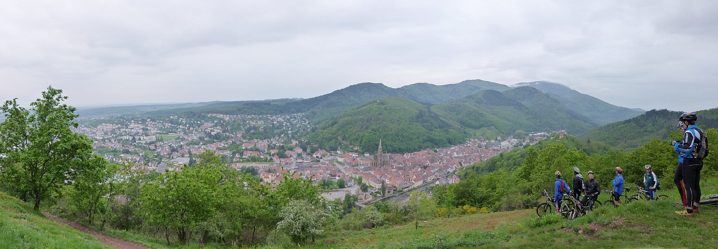 2300x800
- could someone order the sun, please, for the next trip? Thx
May 06, 2010
"en mai, fais ce qu'il te plait"
 3-0°C 37-32°F
21 km 13 miles, 1h30
1 extremist (Christophe)
appointment at 6:30PM Vieux ThannWeather forecast: not good... cold + rain! Traffic conditions: not terrible - traffic jams! ok.... Zennnnn!
I will go to Guebwiller; at the top, there will be no rain anymore ;-)
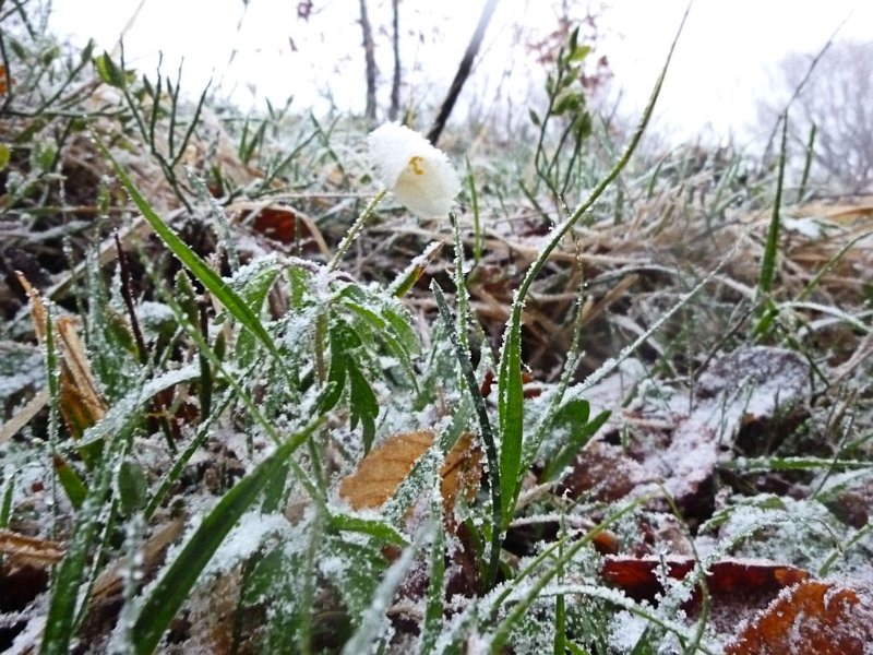
There is no one on the street going to the lake (de la Lauch). Temperature 3°C (below it was better .... 6°C)
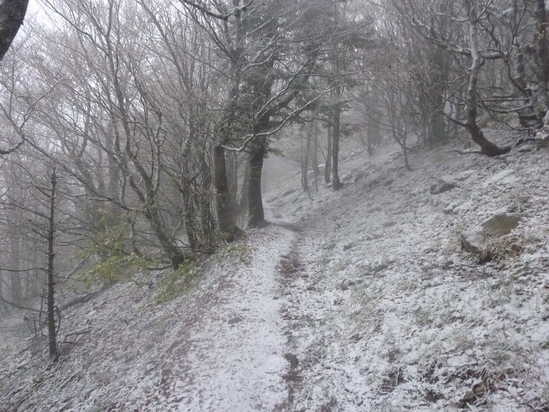
You need warm clothes (rain pant, winter cap, gloves) ... I will use the street to climb to the Markstein... the drops of water turn to snow.
Direction Haag and Grand Ballon. Turn back, because there is still no sunshine... not too fast, because the flakes stinging the face are not too pleasant.
The GR5 is nice, but don't take it alone (this is a small line to reassure my mother)
Descend on the ski slope "Grenouillère" and a little round around the lake.
It's 9:00PM, I'm a little frozen, but not too wet!
 |
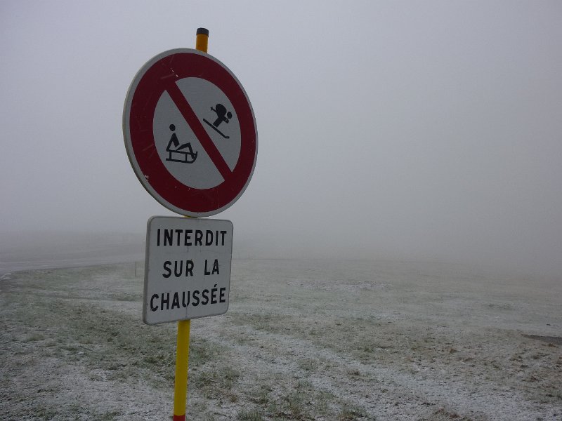 sledge |
 |
 |
18 pictures (indexB) - winter weather.... 28°C 82°F ?? lower than last week
- wait until next week for new experiences
- proverb "en mai, fais ce qu'il te plait" .... see explanation
April 29, 2010
"Waldeck 2"
 28-21°C 82-70°F
31 km 19 miles, 2h20 Elev.Gain 720 m 2300 feet
 static
16 MTB (Bernard, Christian, Christophe, Claude, Daniel, Denis, Gilles, Fabien, Franck, Jean, Julien, Michel, Sébastien, Thierry, Thomas, Yves)
appointment at 6:30PM WaldeckDirection Flaxlanden then Illfurth (chapel St Brice) for today.
It's only at the Hinterwald that we realize that we are missing a guy!!! Thierry!.... but he was at the first place!
There is no way to contact him; le tamtam does not work here (and he didn't have a phone)
I have been booked by Jean (Papa Smurf today) because I am too far behind.
At Zillisheim, we return in the forest, "grand canon 1914/18" (big gun) +, then back to the cars.
There, we find (finally) Thierry who has done more miles... He saw us, but at each intersection he has to choose (right or left?)... Sorry, it was not easy to follow us!!
 |
 |
 |
 |
21 pictures (indexB) good day (in miles and elevation), nice weather
April 22, 2010
"au Waldeck"
20-14°C 68-57°F24 km 15 miles, 1h50 Elev.Gain 520 m 1700 feet
 static
18 MTB (Anthony, Bernard, Christian, Christophe, Claude, Daniel, Denis, Gilles, Jean, Julien, Michel, Paolo, Sébastien, 2 Thierry, Thomas, Timothe, Yves)
appointment at 6:30PM WaldeckWe are a beautiful herd (17), today for the first trip ... and with (only) 5 minutes late is the start given. But, at the traffic light: surprise!!! Christian is coming! +1
Direction Entremont - Rixheim - Habsheim - Zimmersheim ... and it is not finished, we go a little further in the direction Flaxlanden (2 km before half-turn).
Nice trip with some usual "actions": 2 punctures, wrong way ....
End of the trail in the forest, with some great jumps for the young people.
 Earth |
 group |
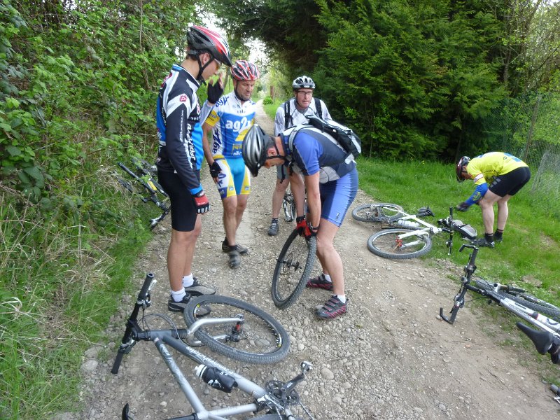 puncture |
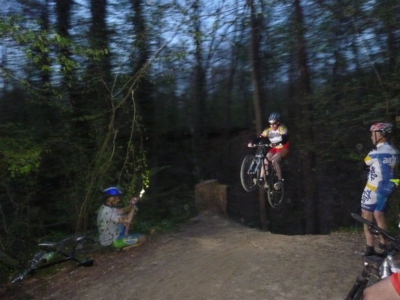 Tim's jump |
15 pictures (indexB) - first trip (for me), a few thousand miles for others lol
- more info by Paolo, on his blog Spakito68
(more than 50 pictures and comments!!)- camera: Lumix ZX1
