
06/09/2012
"rund um die Stadt Mulhouse"
 20-17°C
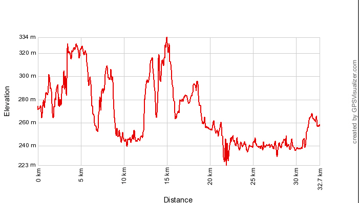
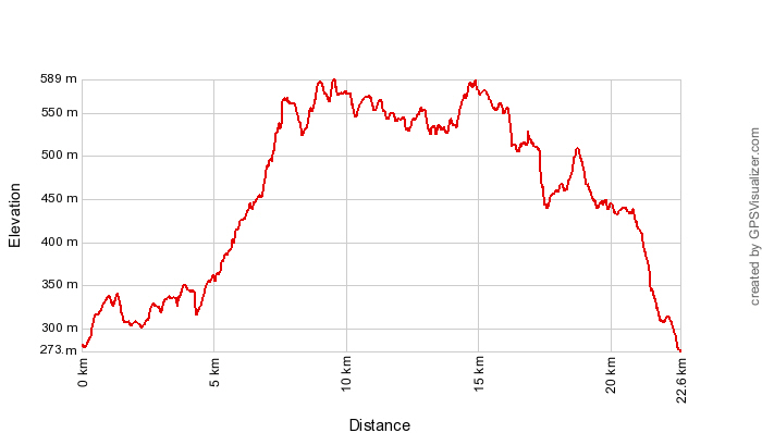
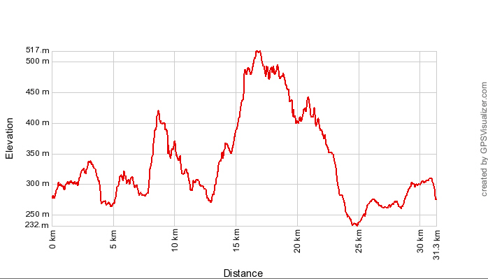
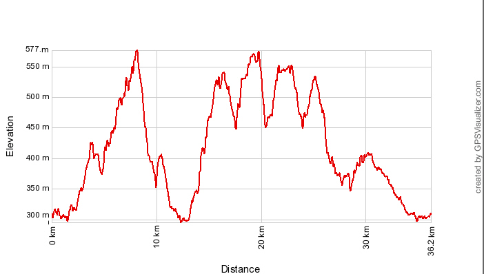
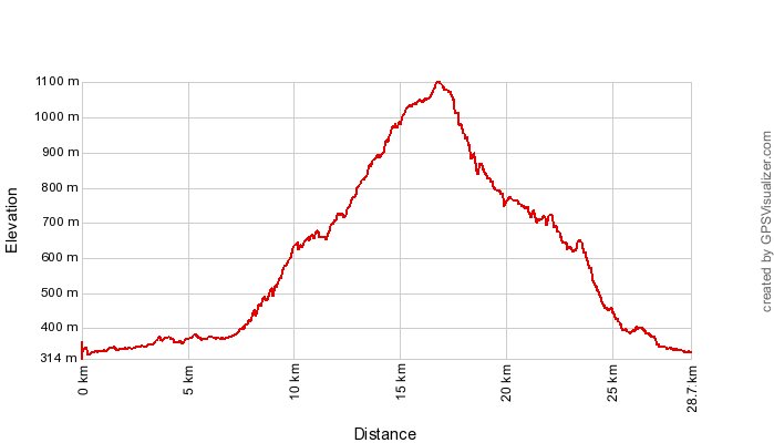
32 km, 1h45 Hm zwischen 300 und 400 m

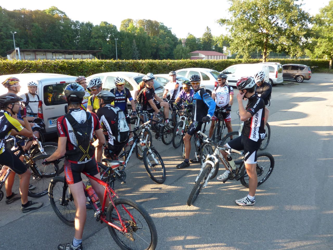
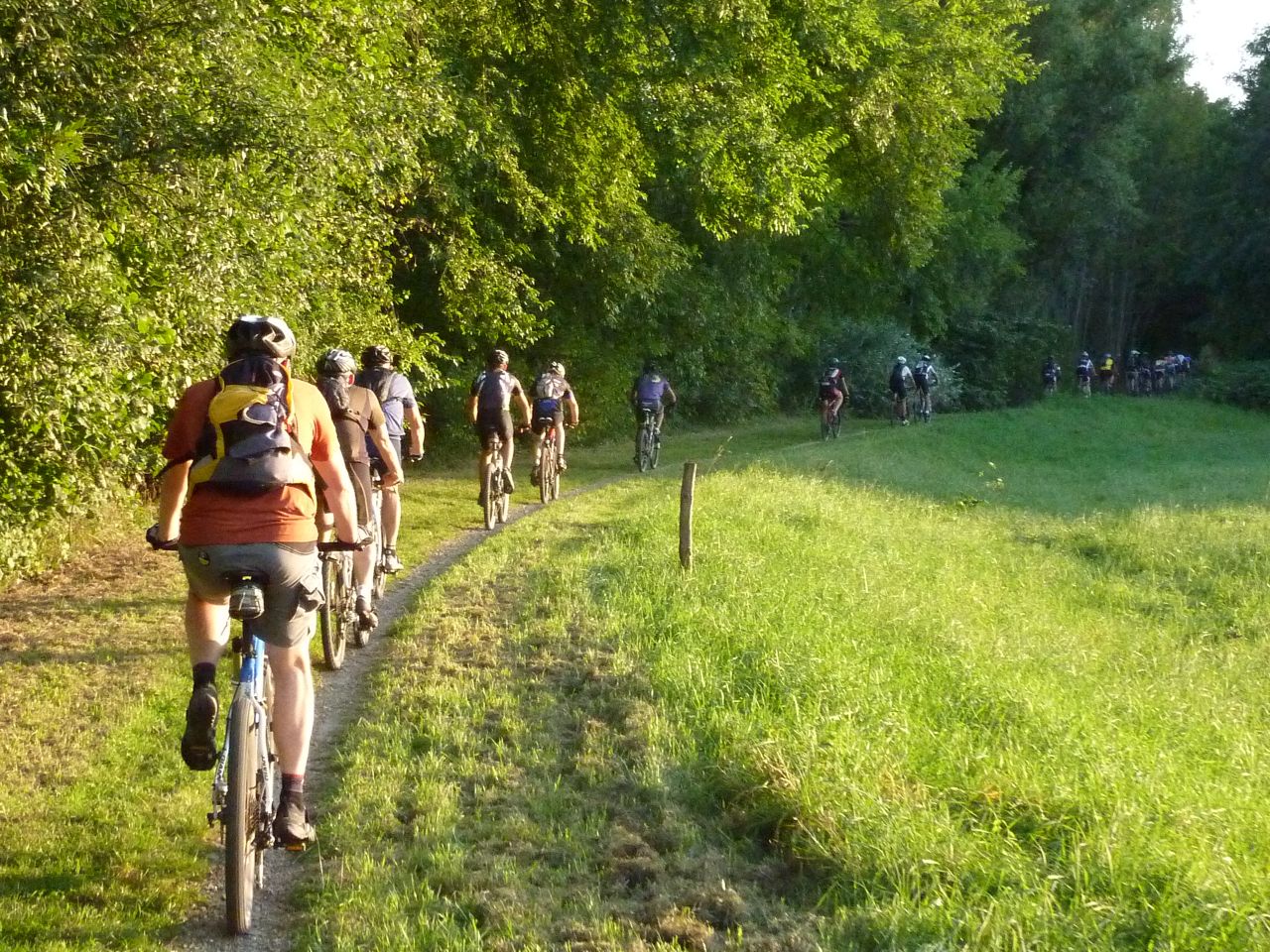
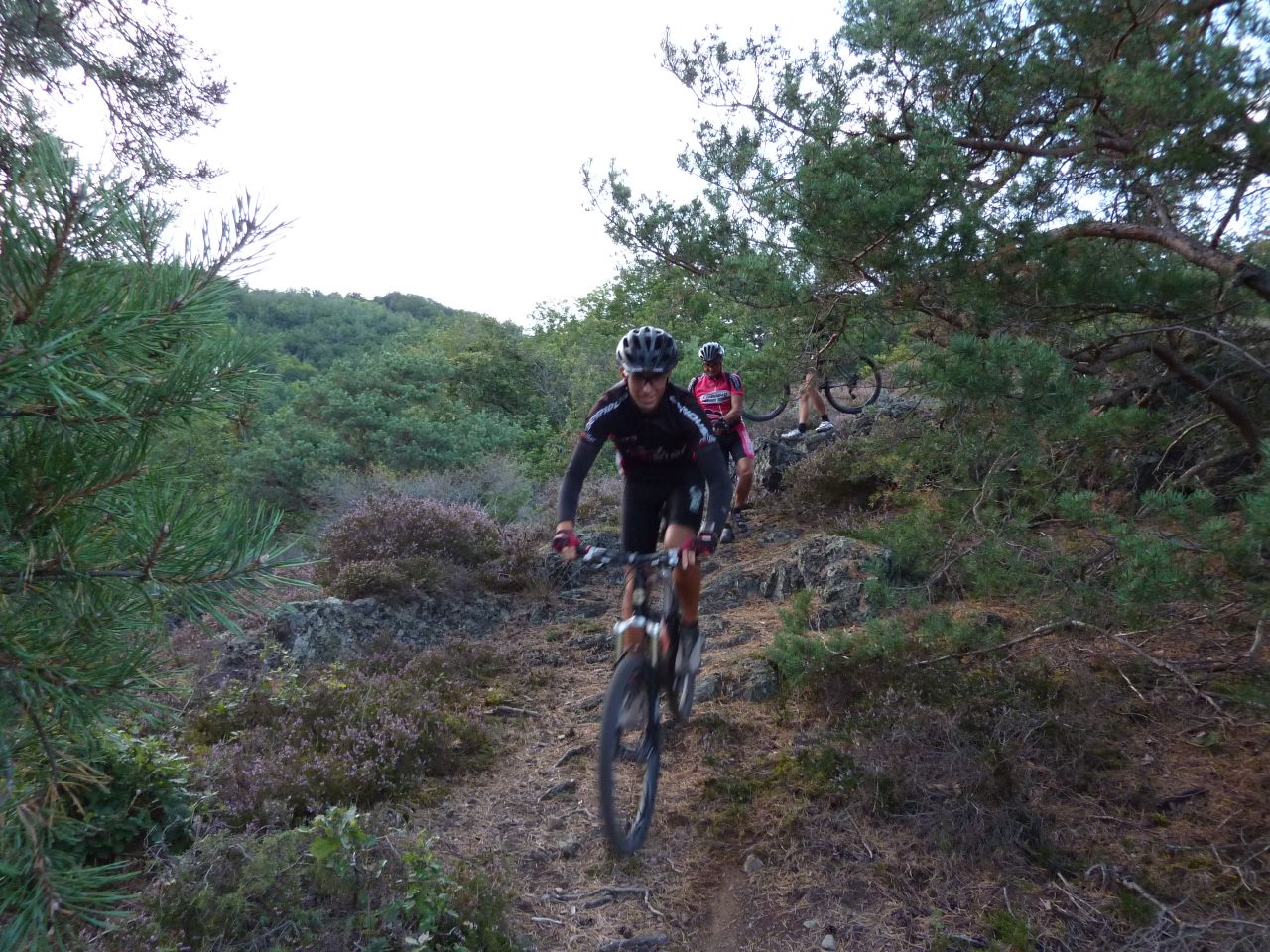
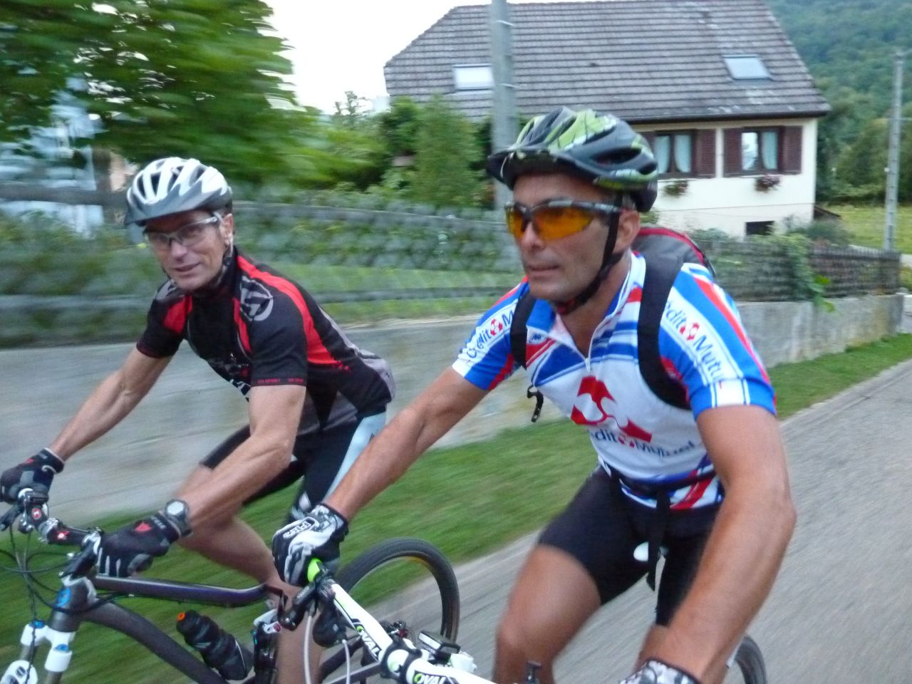
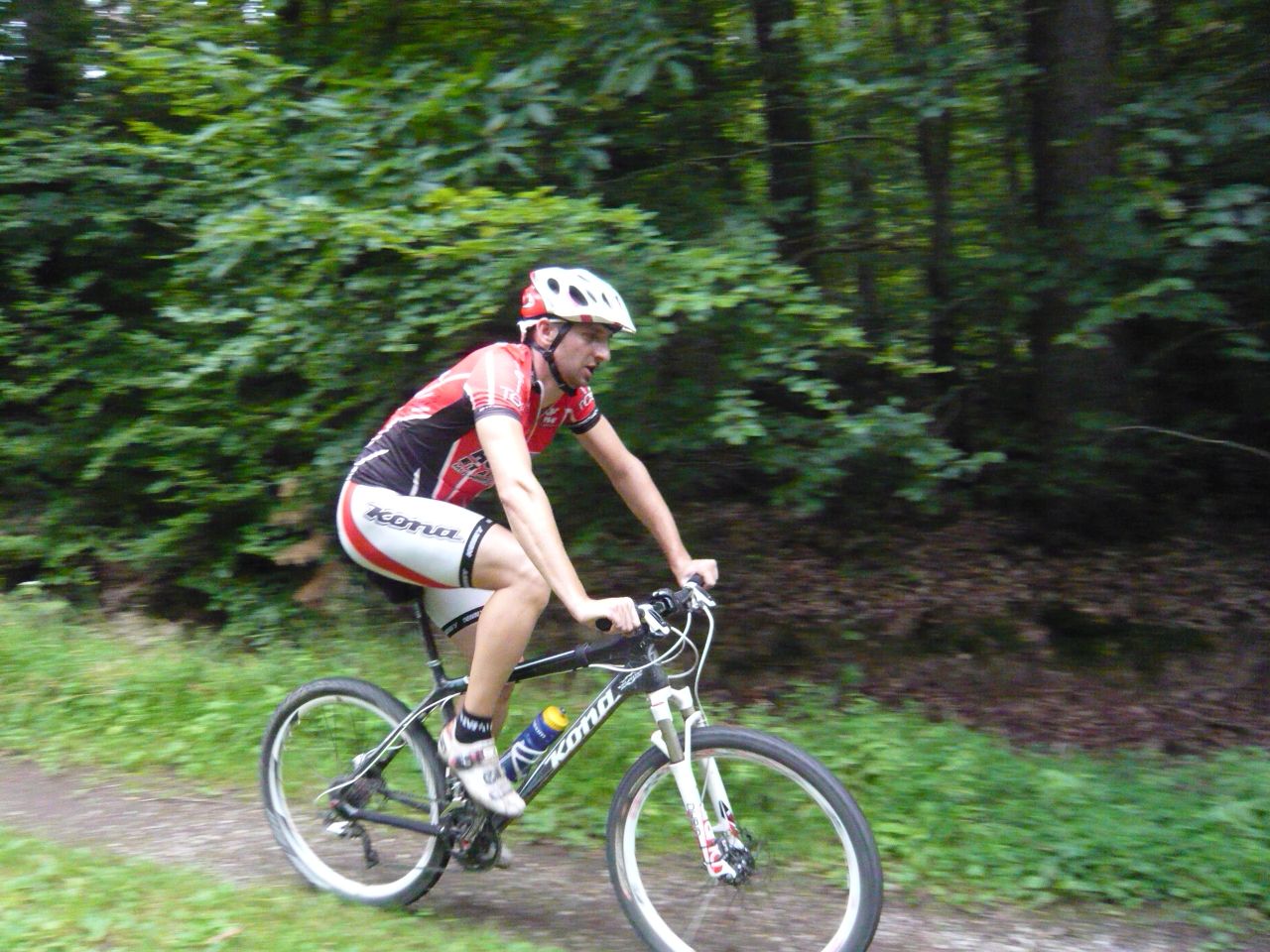
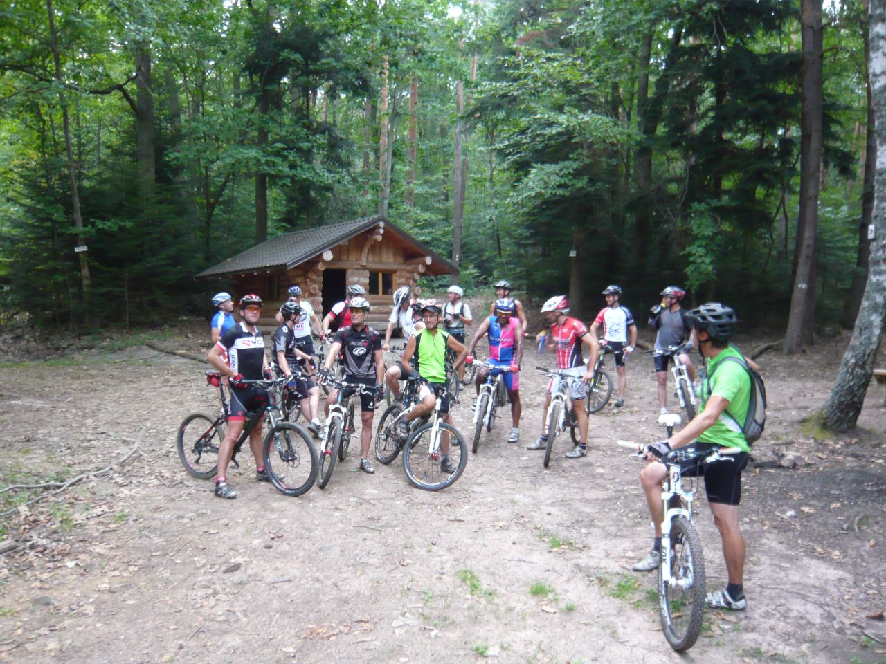
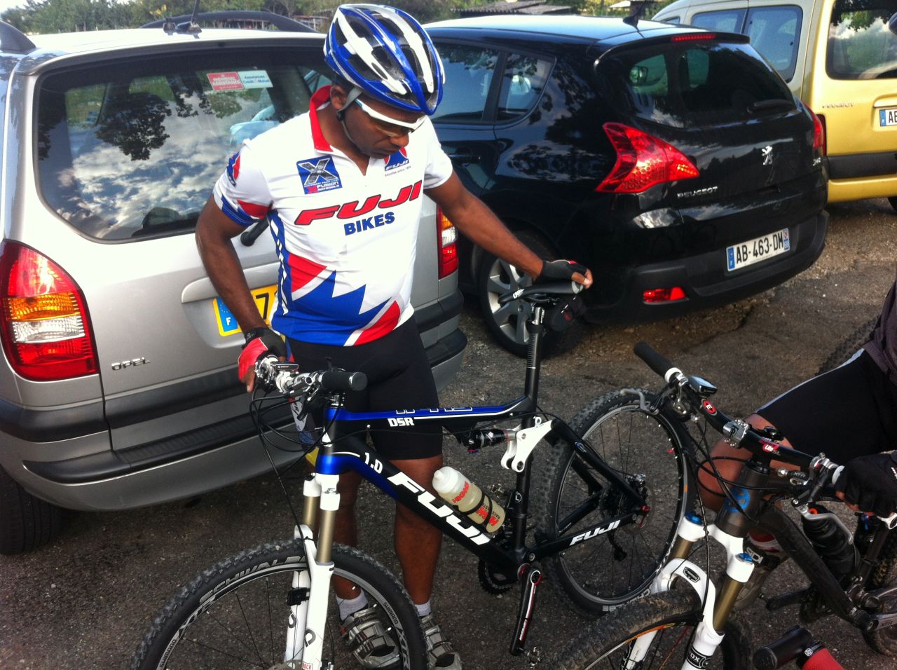
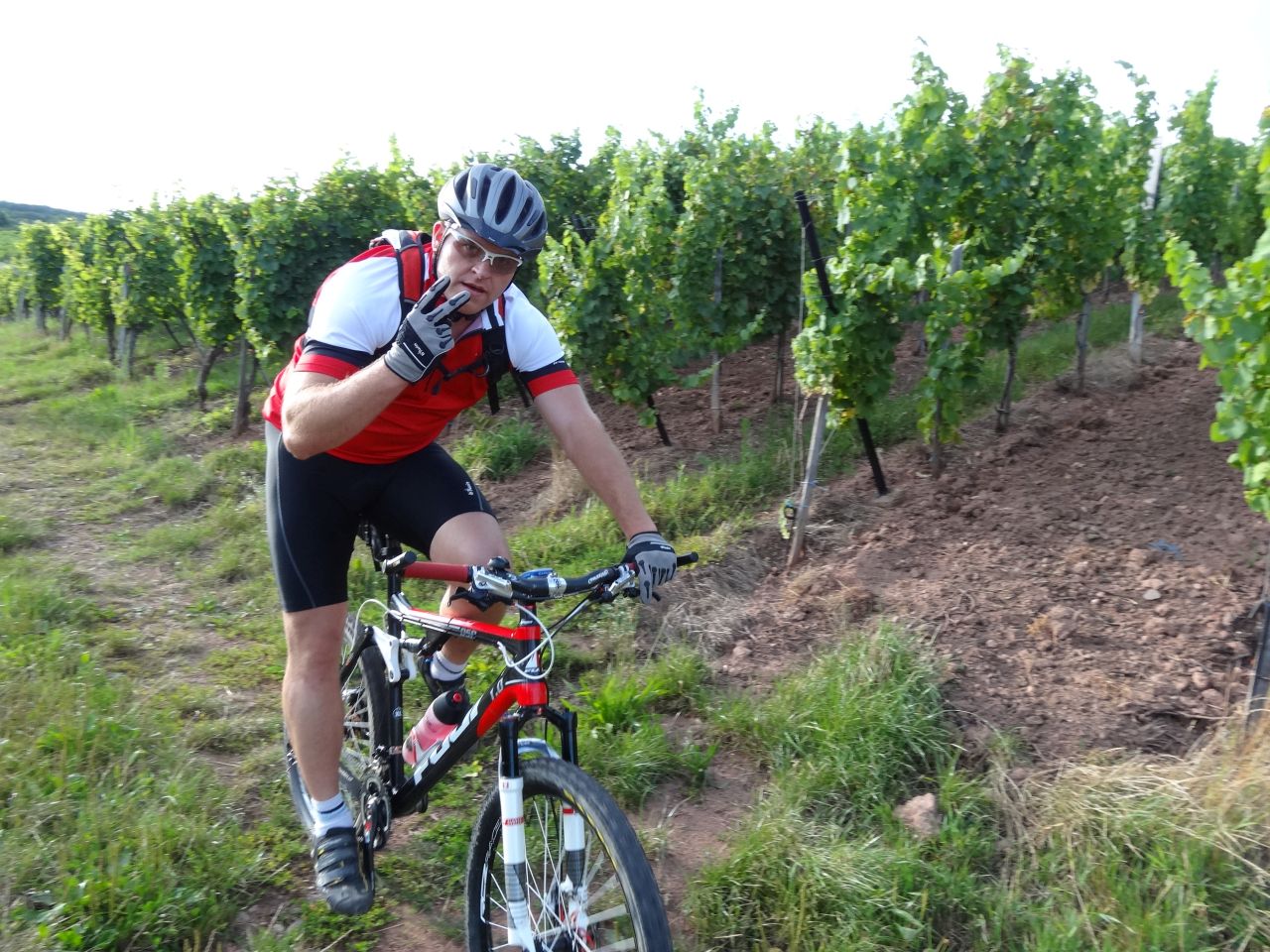
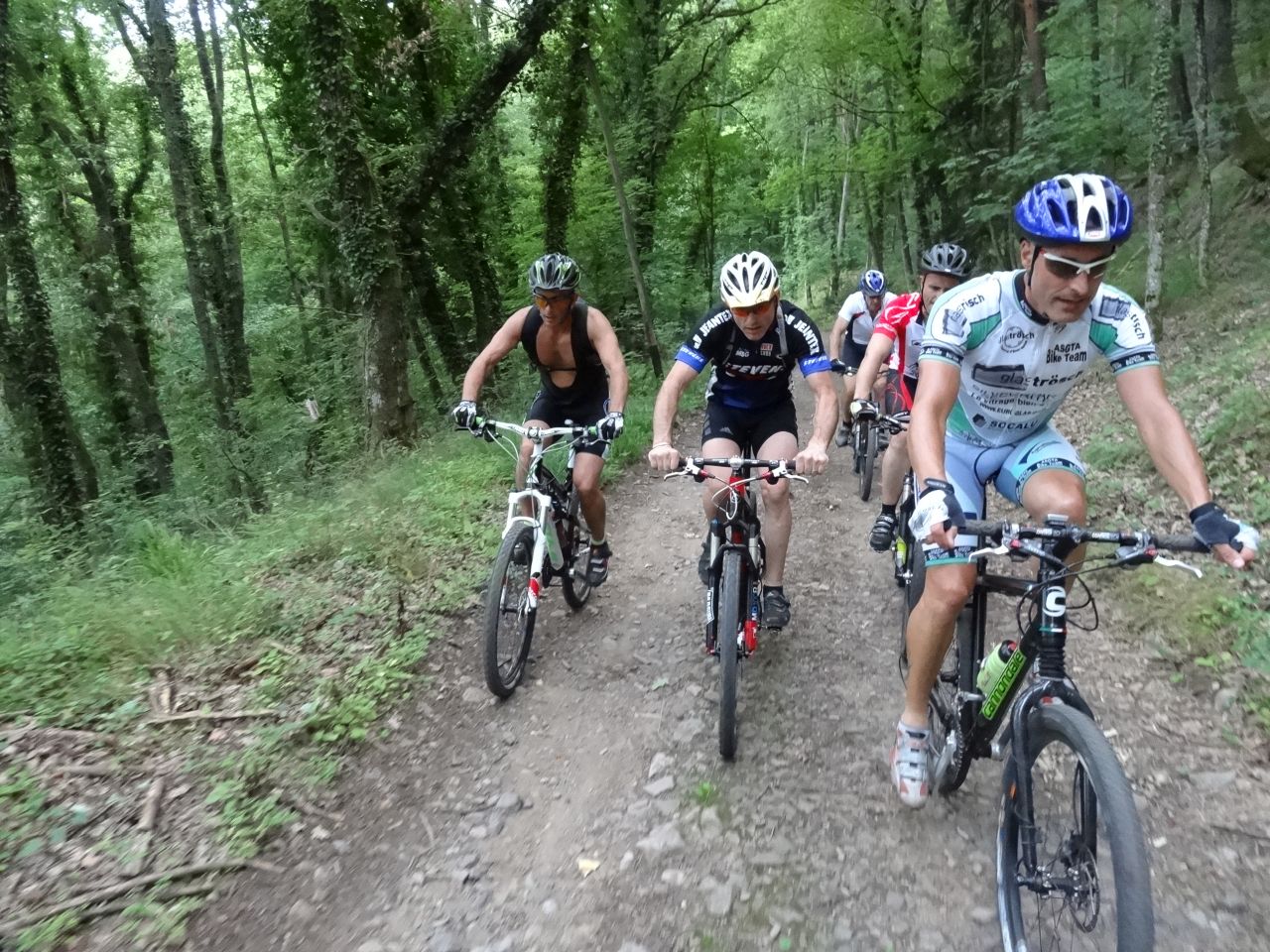
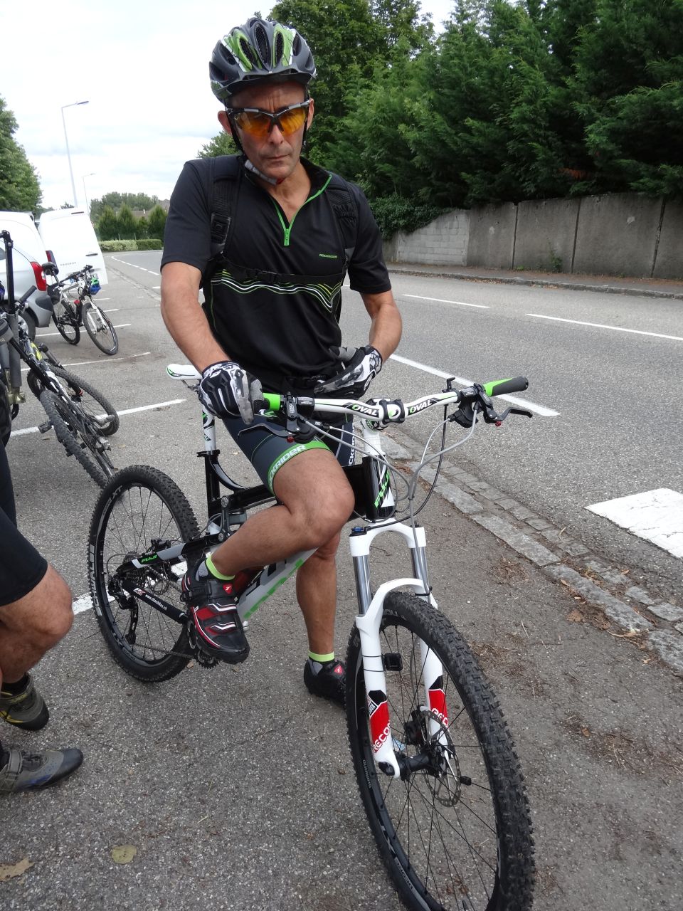
20 MTB (Christian, Christophe, Claude, Denis, Fabrice, Franck, Fred, Georges, Gilles, Jean, Jean-Claude, Julien, Laurent, Luc, Thierry, Thomas, Vincent, Yves + 2 )
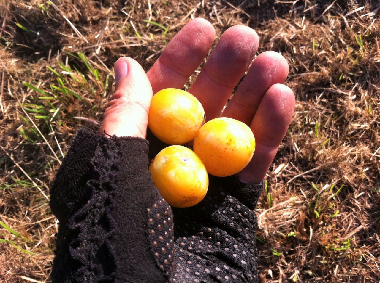
Mulhouse - Brunstatt - Didenheim - Morschwiller - Lutterbach - Mulhouse - Riedisheim Mulhouse
 39 Fotos (G Photo)
30/08/2012
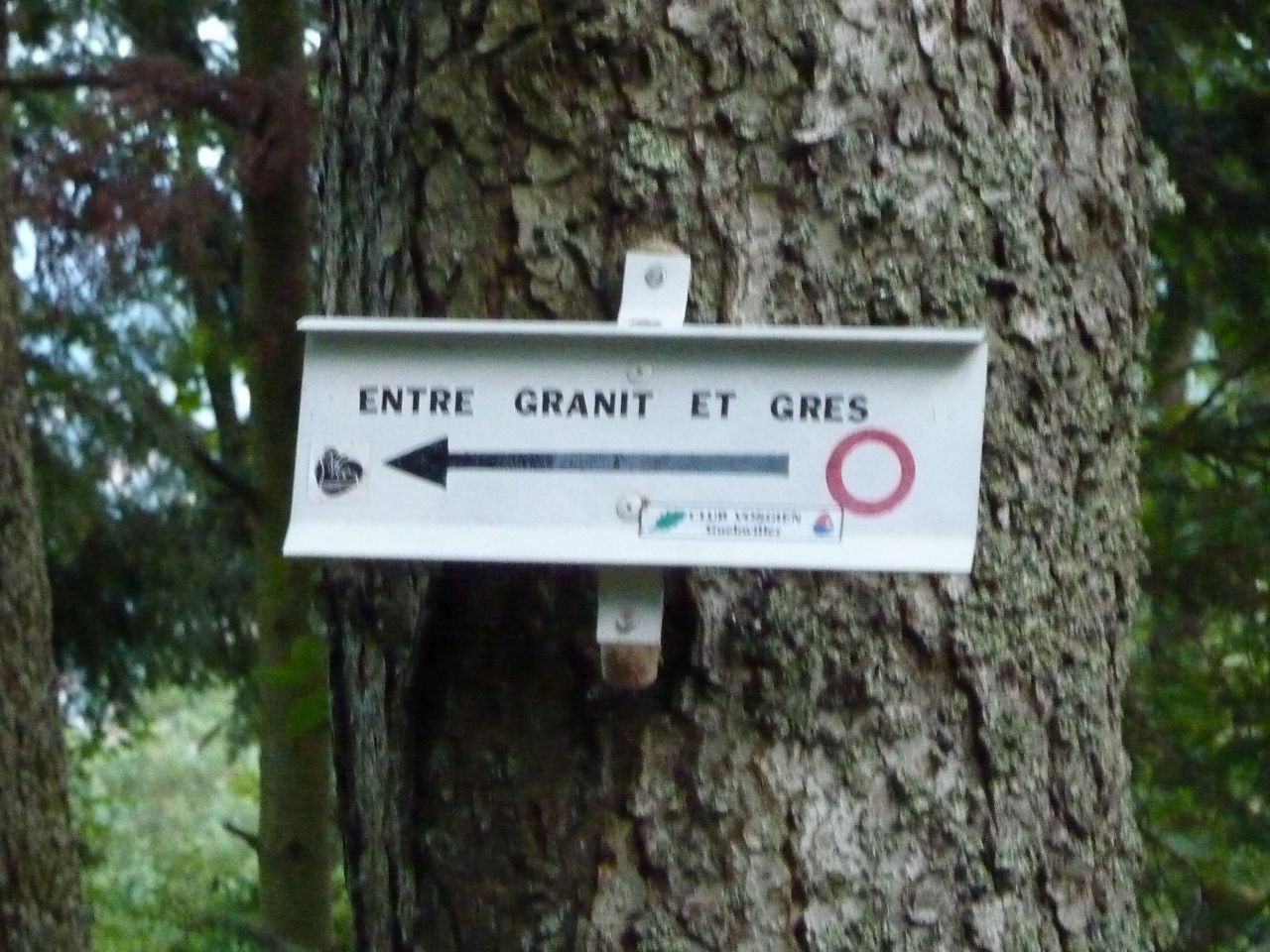
"Zwischen Granit und Sandstein"
 18°C
18°C18 km, 1h25 Hm 500 m
10 MTB (Christophe, Franck, Georges, Gilles, Jean, Jean-Claude, Laurent, Romuald, Thierry, Thomas)
Guebwiller - Schweighouse - Engelstein - Lautenbach - Buhl
23/08/2012
"die 2 Steinbrüche" (Bergholz und Buhl)
 27-24°C
22 km, 2h00 Hm 570 m
17 MTB (Bruno, 2 Christophe, Christian, Claude, Georges, Gilles, Guillaume, Jean-Luc, Joel, Laurent, Mike, Pascal, Romuald, Thierry,...)
Guebwiller - Bergholtz-Zell - Dreibannstein - carrière de Bergholtz - Dreibannstein - carrière de Buhl - Guebwiller


16/08/2012
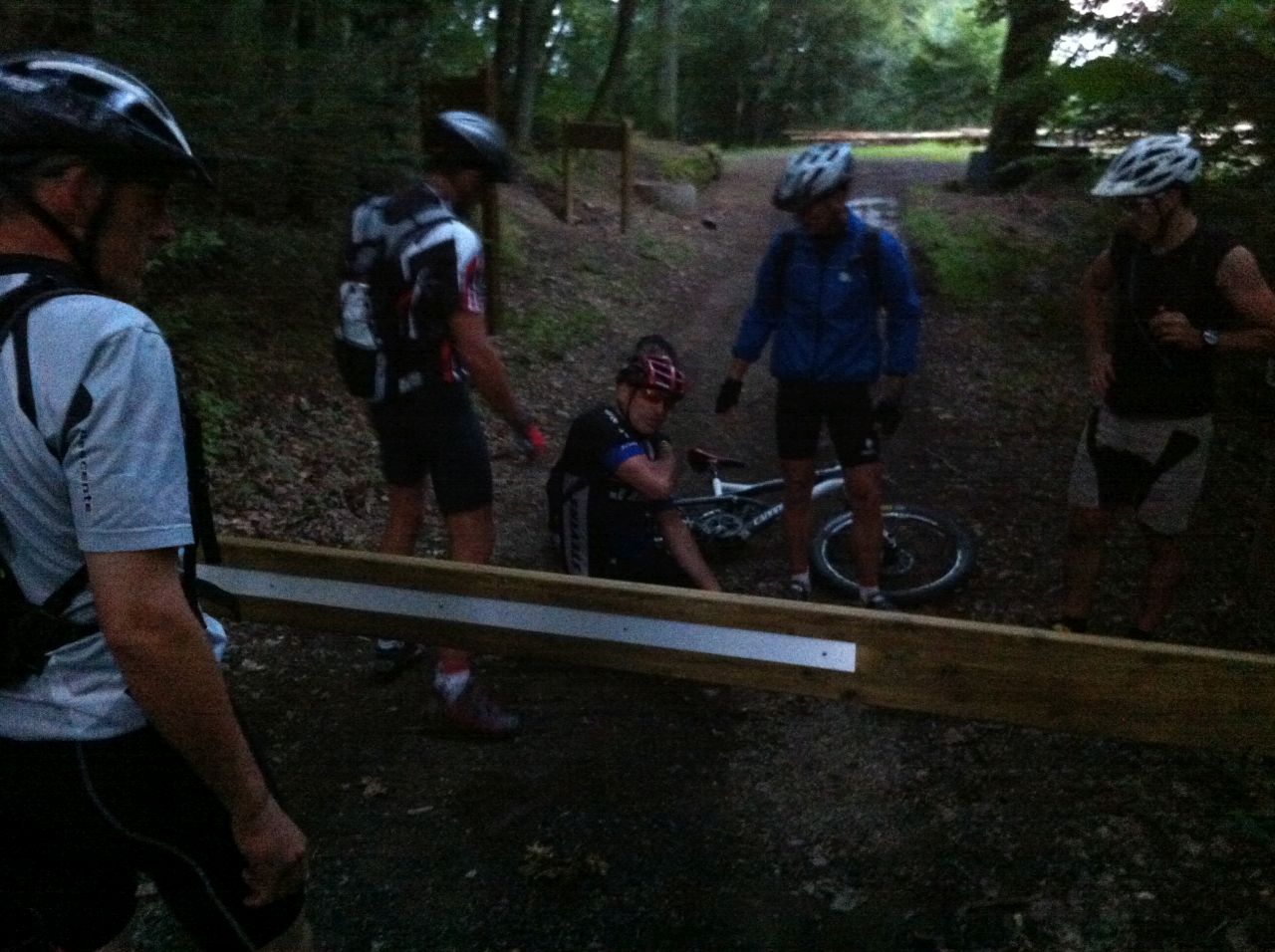
"die Schranke des Waldkapelle"
25-17°C25 km, 1h50 Hm 650 m
10 MTB (Christophe, Claude, Denis, Georges, Gilles, Julien, Roger, Thierry, Thomas, Yves)
Thann - Willer - Freundstein - Baecherkopf Hisla - Waldkapelle - Thann


- wieder "iphone" Fotos
- clavicule : das Schlüsselbein (en: the clavicle)
- luxation : die Luxation - (en: the dislocation)
- ligaments : die Bänder - (en: the ligament)
09/08/2012
"200"
25-22°C32 km, 2h30 Hm 600 m (?)
10 MTB (Bernard, Christophe, Claude, Denis, Gilles, Jean-Luc, Julien, Michel, Mike, Roger)
Guebwiller - Bergholtz-Zell - Orschwihr - Soultzmatt - Langenstein - "Zinnkoepflé" - ND de Schauenberg - Westhalten - Orschwihr

02/08/2012
"mix"
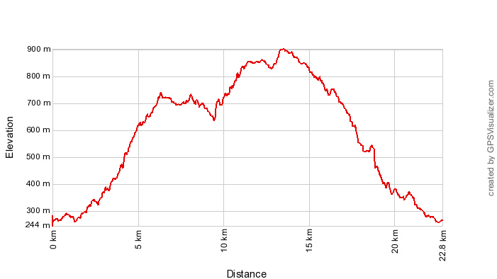
26-24°C36 km, 2h30 Hm 990 m
9 MTB (Bernard, Christophe, Denis, Franck, Guillaume, Joel, Michel, Mike .... und Paolo)
Cernay - Uffholtz - Wattwiller - Thierenbach - Jungholtz - Heidenbuckel - Bildstoeckle - Peternit - Rimbach-Zell - Wattwiller - Huffholtz - Cernay!

26/07/2012
"heiss, heiss!!"
+30°C42 km, Hm 780 m
13 MTB (Bernard, Christophe(2), Claude, Denis, Fabien, Fabrice, Franck, Georges, Guillaume, Joel, Michel, Mike, ....)
Michelbach - Guewenheim - Mortzwiller - Sentheim - Lauw - ferme Niederwhyl - Rammersmatt - Michelbach
19/07/2012
"Gsang"
 19°C
19°C29 km, 2h ? Hm 900 m
8 MTB (Bernard, Christophe, Claude, Franck, Georges, Jean, Julien, Michel)
Vieux-Thann - Willer-sur-Thur - Gsang - Rossberg (1104m) - col de Hundsruck (748m) - Weierlé - Vue Zuber
12/07/2012
"Freundstein"
22-18°C23 km, 1h45 ? Hm 820 m
11 MTB (Bernard, Christophe, Claude, Fabrice, Franck, Georges, Guillaume, Luc, Michel, Mike, Philippe)
Hartmannswiller - Cantine Zeller - Freundstein - Col Amic - Hartmannswiller


05/07/2012
"Ebeneck"
27-24°C22 km, 2h00 ? Hm 680 m
9 MTB (Bernard, 2 Christophe, Claude, Franck, Michel, Mike, Thierry, Yves)
Guebwiller - St Barnabé - Col de Schrangen - Col de Wolfsgrube - Lieserwasen - Col de Judenhut - Ebeneck - Munsteraeckerle - col de Peternit - St Barnabé
 und vorher?