

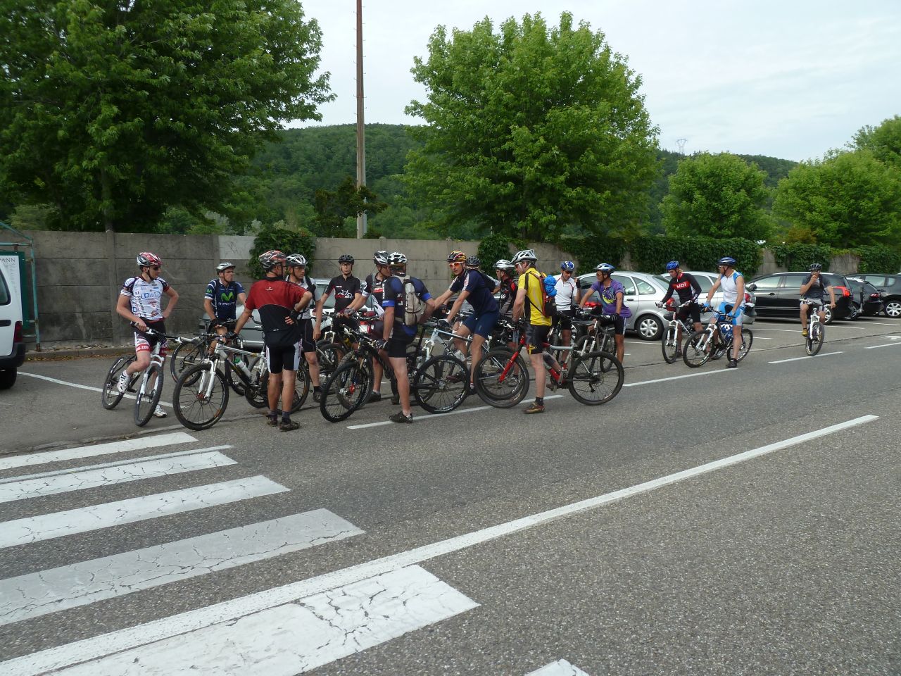
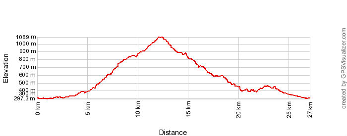
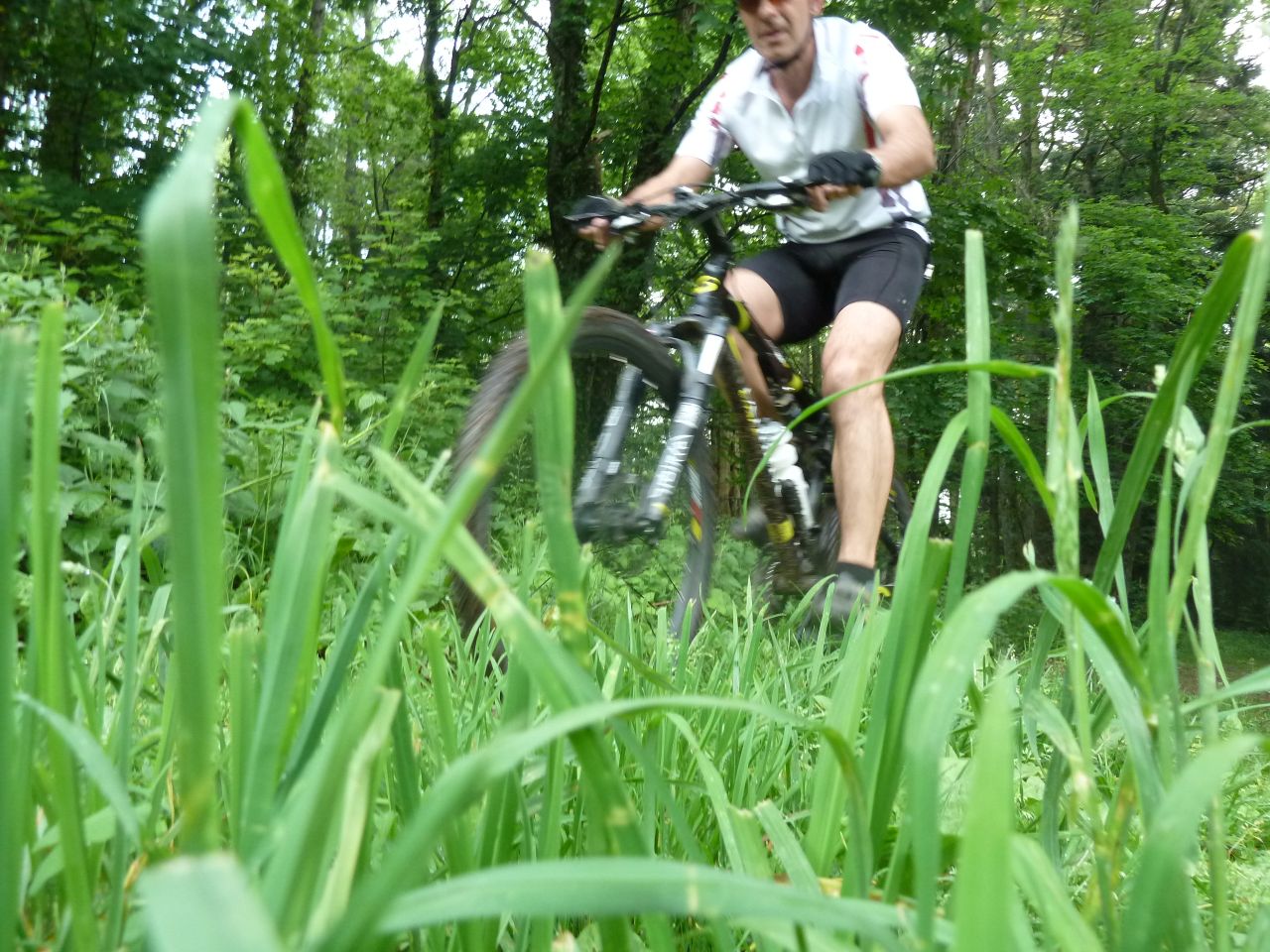
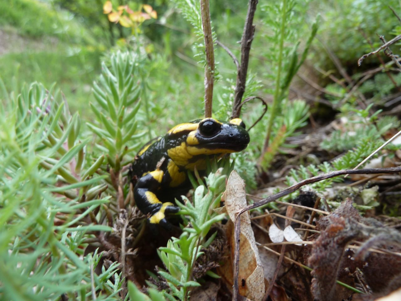
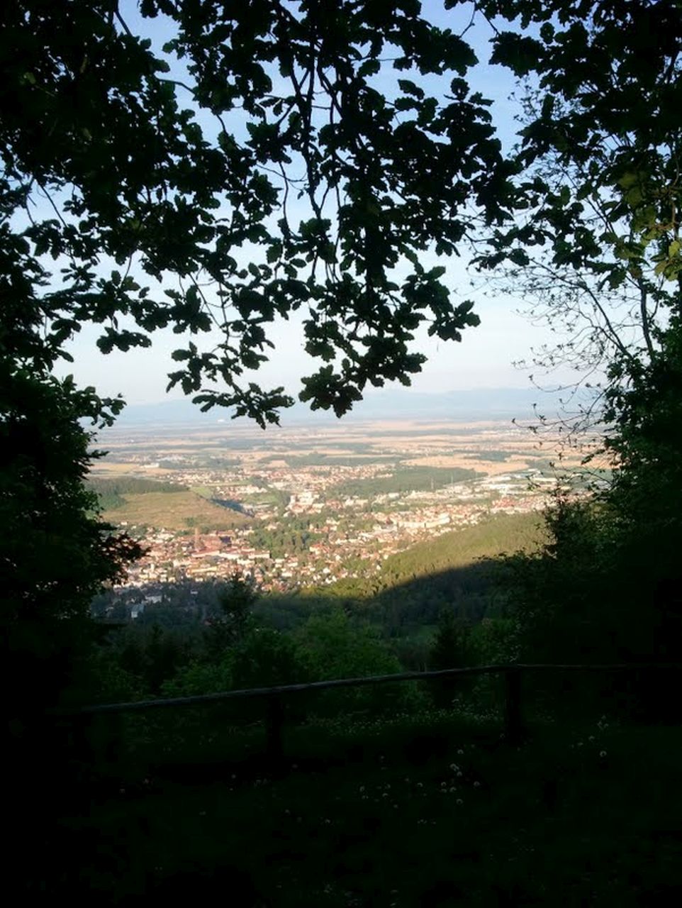
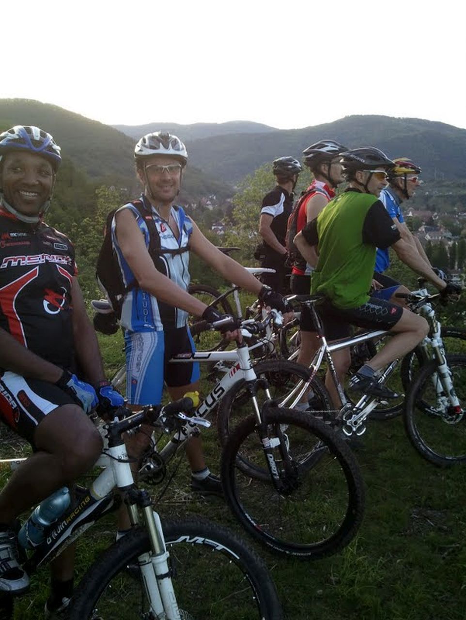
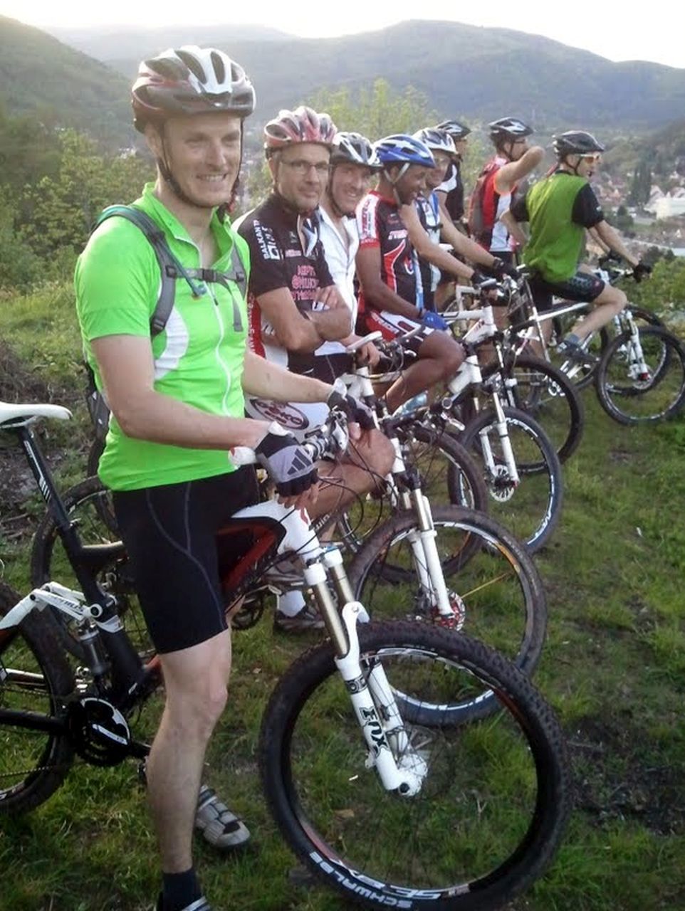
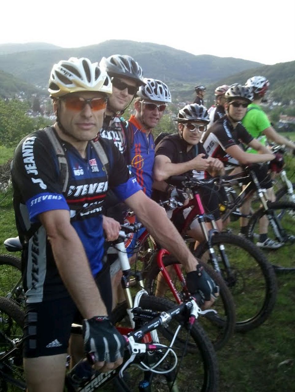
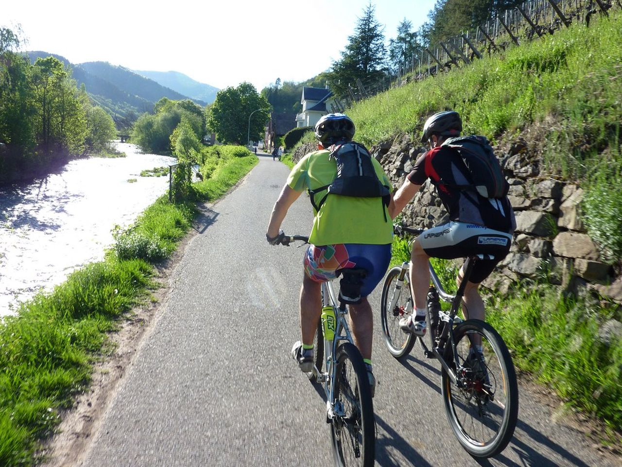
June 28, 2012
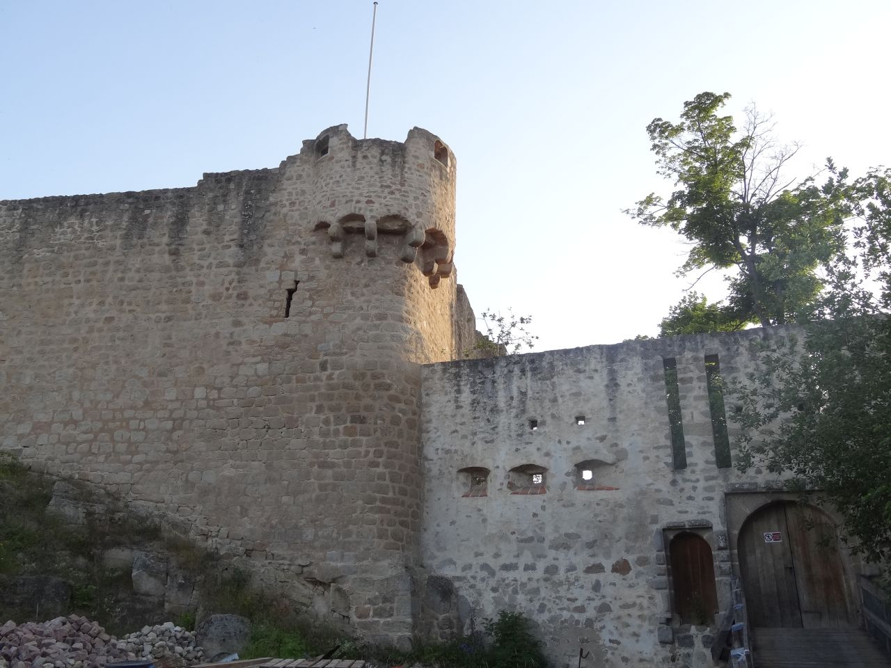
"Hohlandsbourg and picnic"
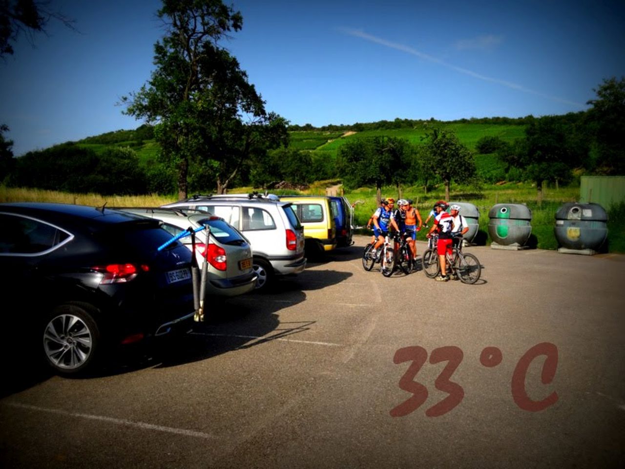
 33-25°C 91-77°F
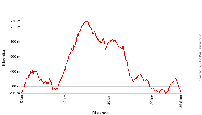
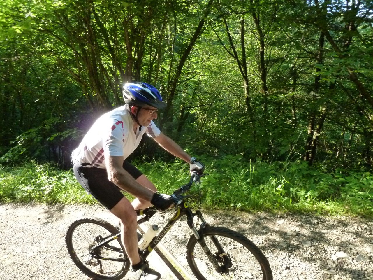
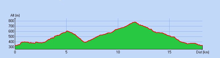
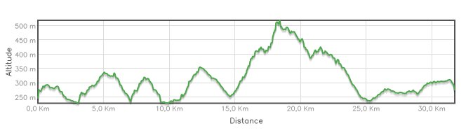
34 km 21 miles, 2h40 Elev.Gain 900 m 2900 feet
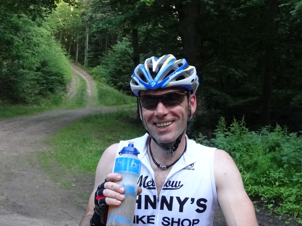
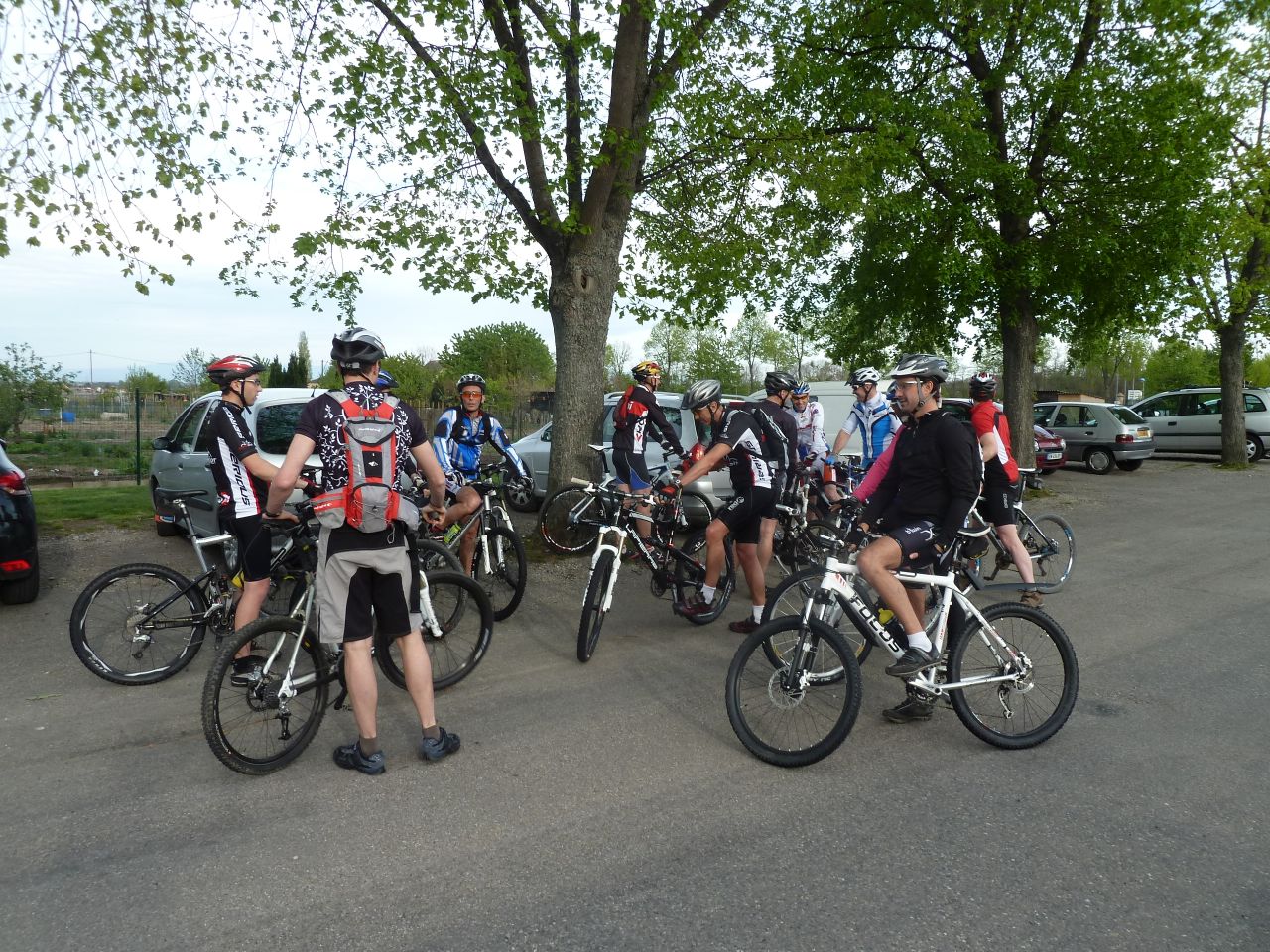
19 MTB (Belmiro, Bernard, Christophe, Daniel, Denis, Eric, Franck, Georges, Jean-Luc, Michel, Mike, Pascal, Thierry, Thomas, Yves ...)
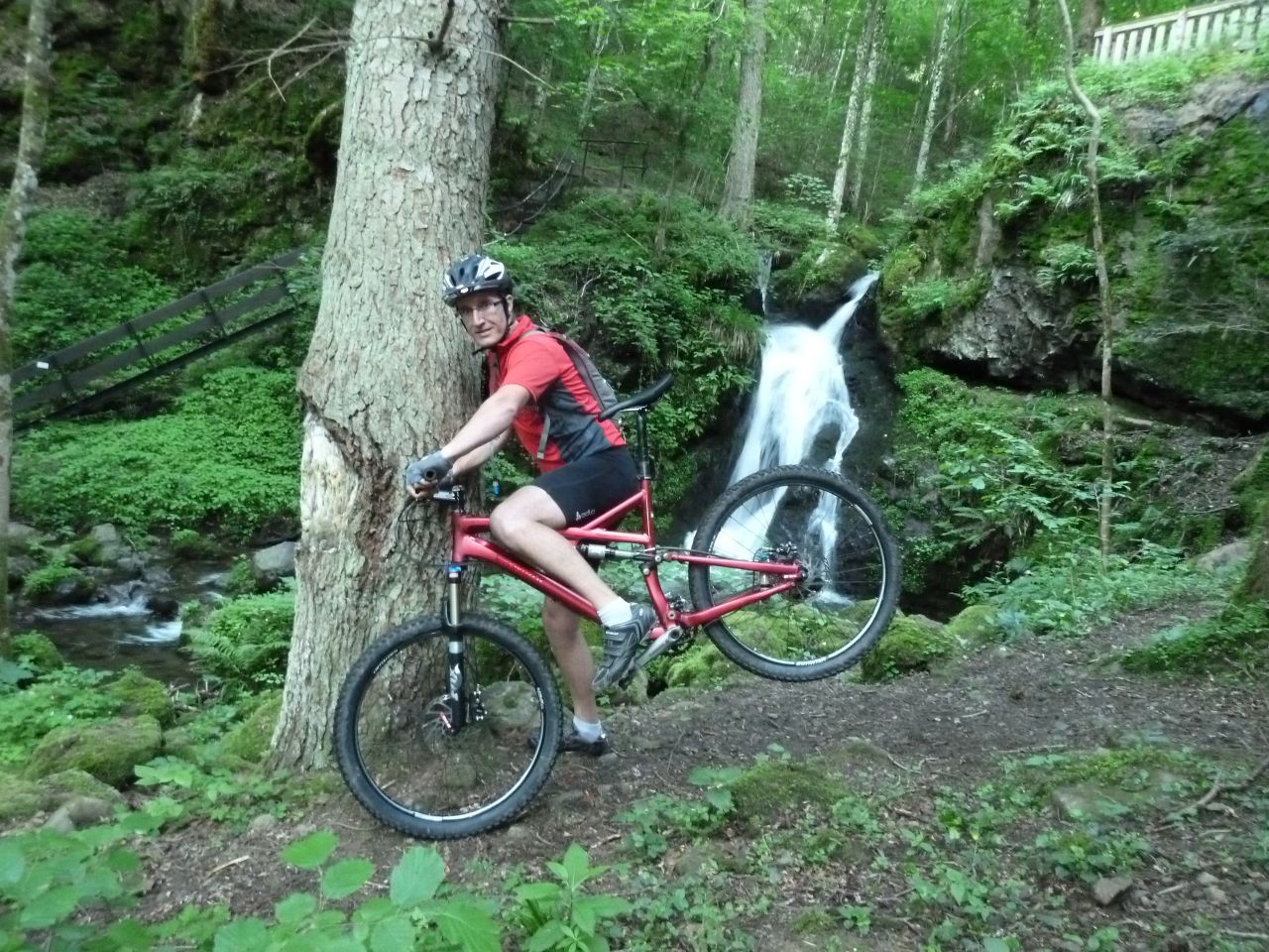
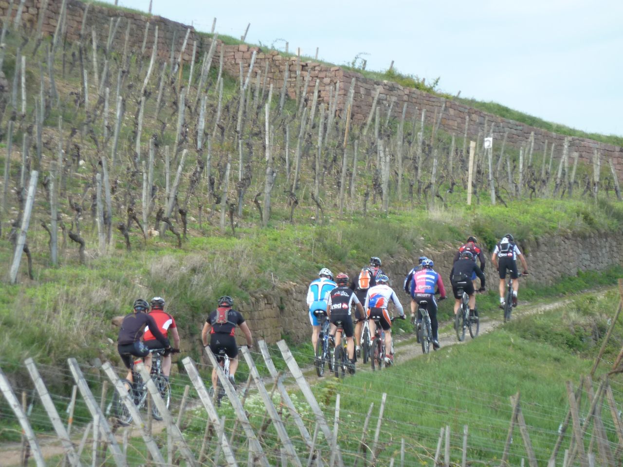
Westhalten, Gueberschwihr, Voegtlinshoffen, Stauffenmatt, Hohlandsbourg
Husseren-les-Chateaux, Voegtlinshoffen, Gueberschwihr, Westhalten
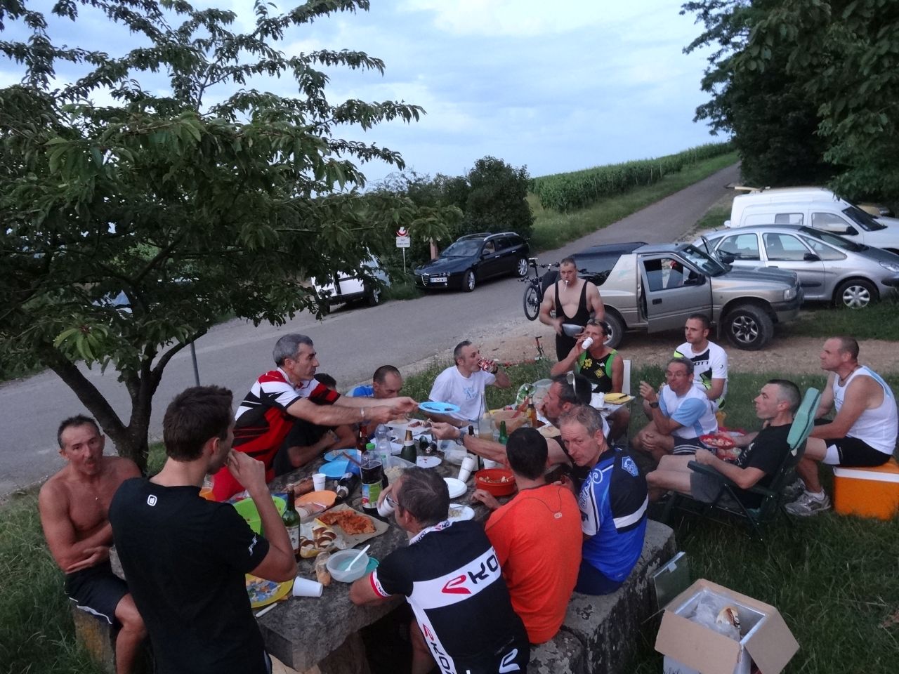
 48 pictures (G Photo)
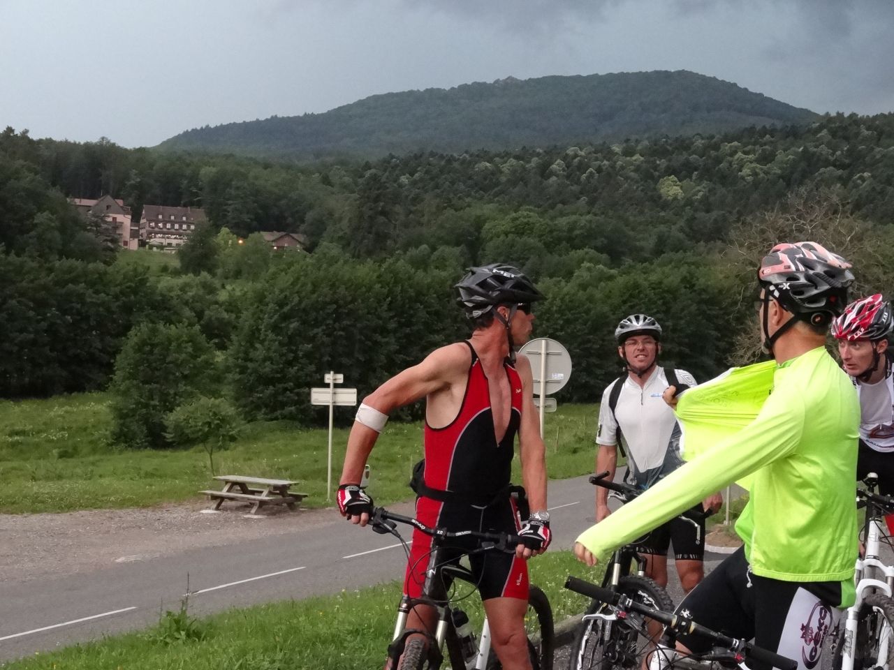
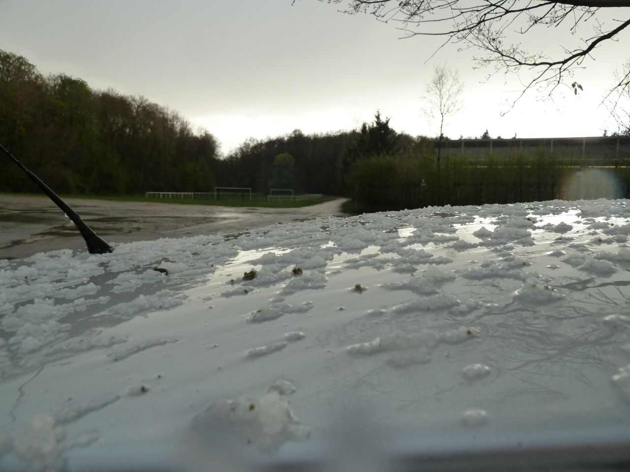
June 21, 2012
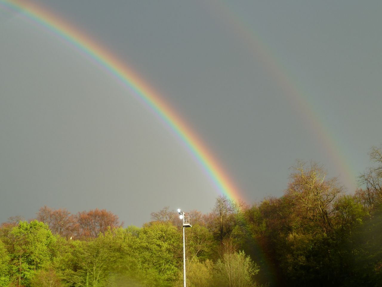
"storm = orange alert"


 26-17°C 79-62°F
22 km 14 miles, 2h Elev.Gain 700 m 2300 feet
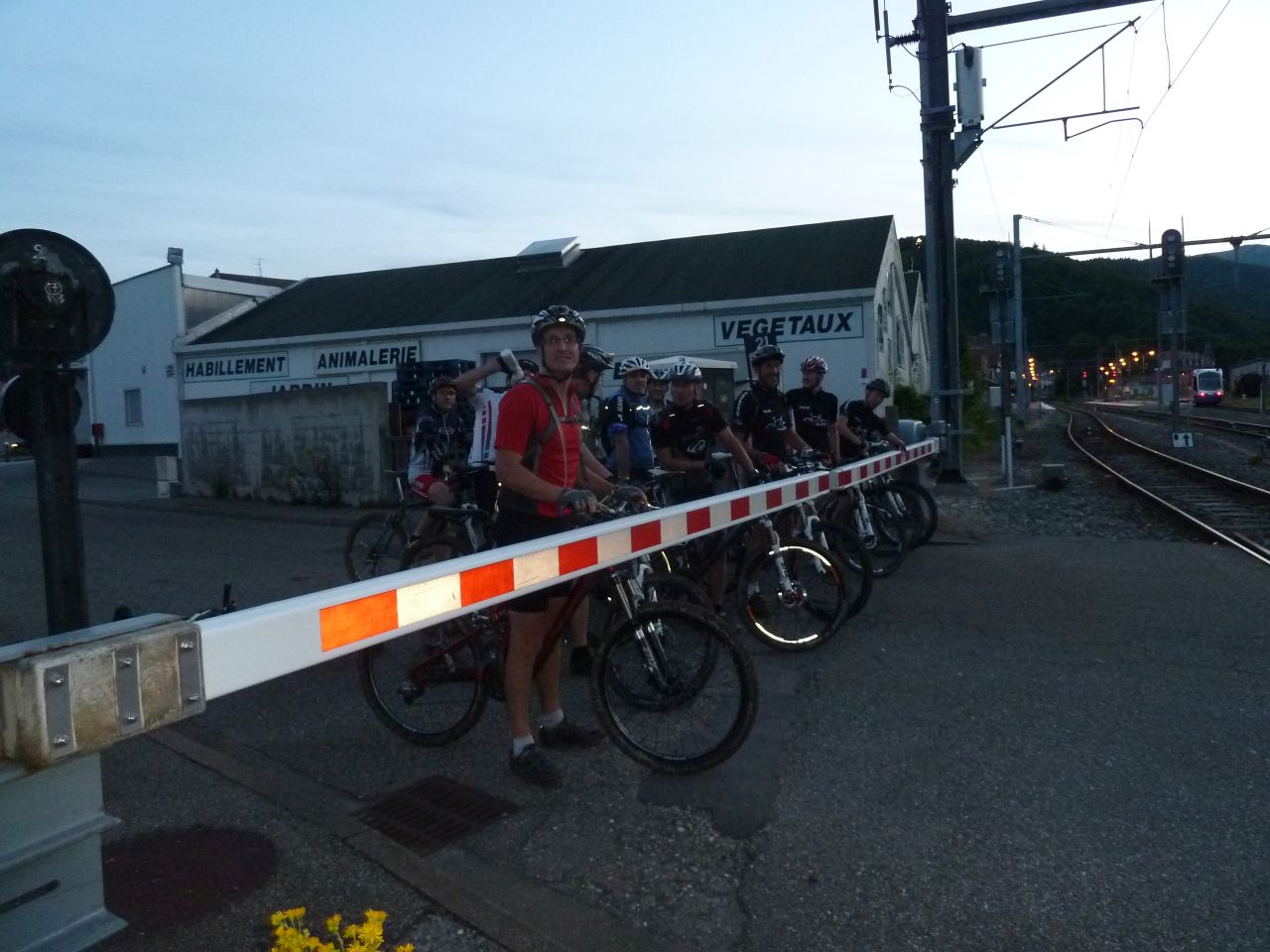
7 MTB (Christophe, Christian, Daniel, Denis, Fabrice, Franck, Georges)
Hartmannswiller - Thierenbach - Jungholtz
Franck and Christophe: cantine Zeller

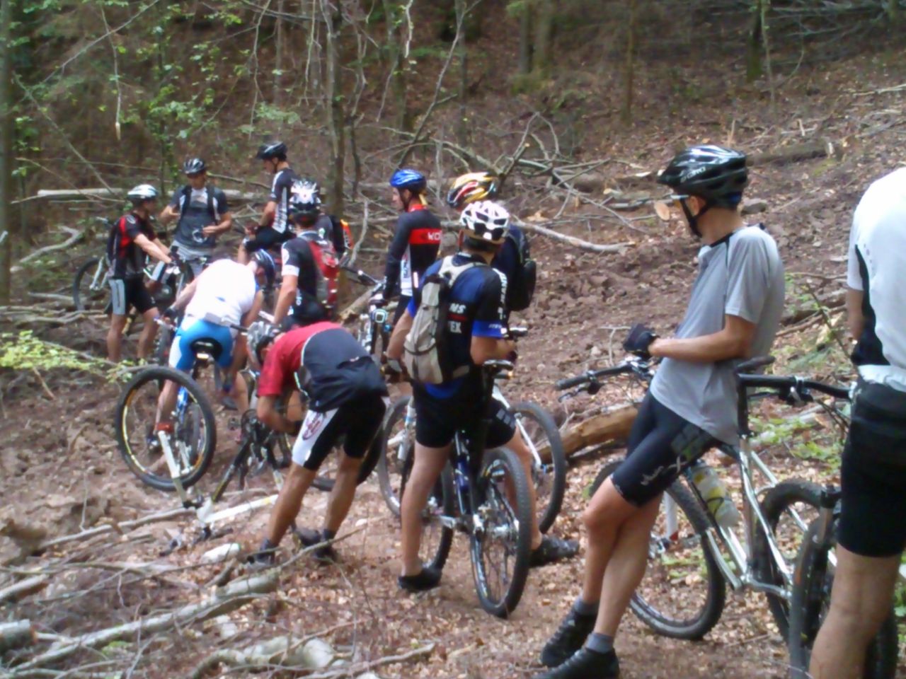
June 14, 2012
"12+5"
24-18°C 75-64°F30 km 19 miles, 2h25 Elev.Gain 1000 m 3300 feet
17 MTB (Alain, Belmiro, Bernard, Christophe, Claude, Denis, Fabrice, Franck, Georges, Gilles, Jean, Julien, Luc, Michel, Thierry, Thomas, Yves)
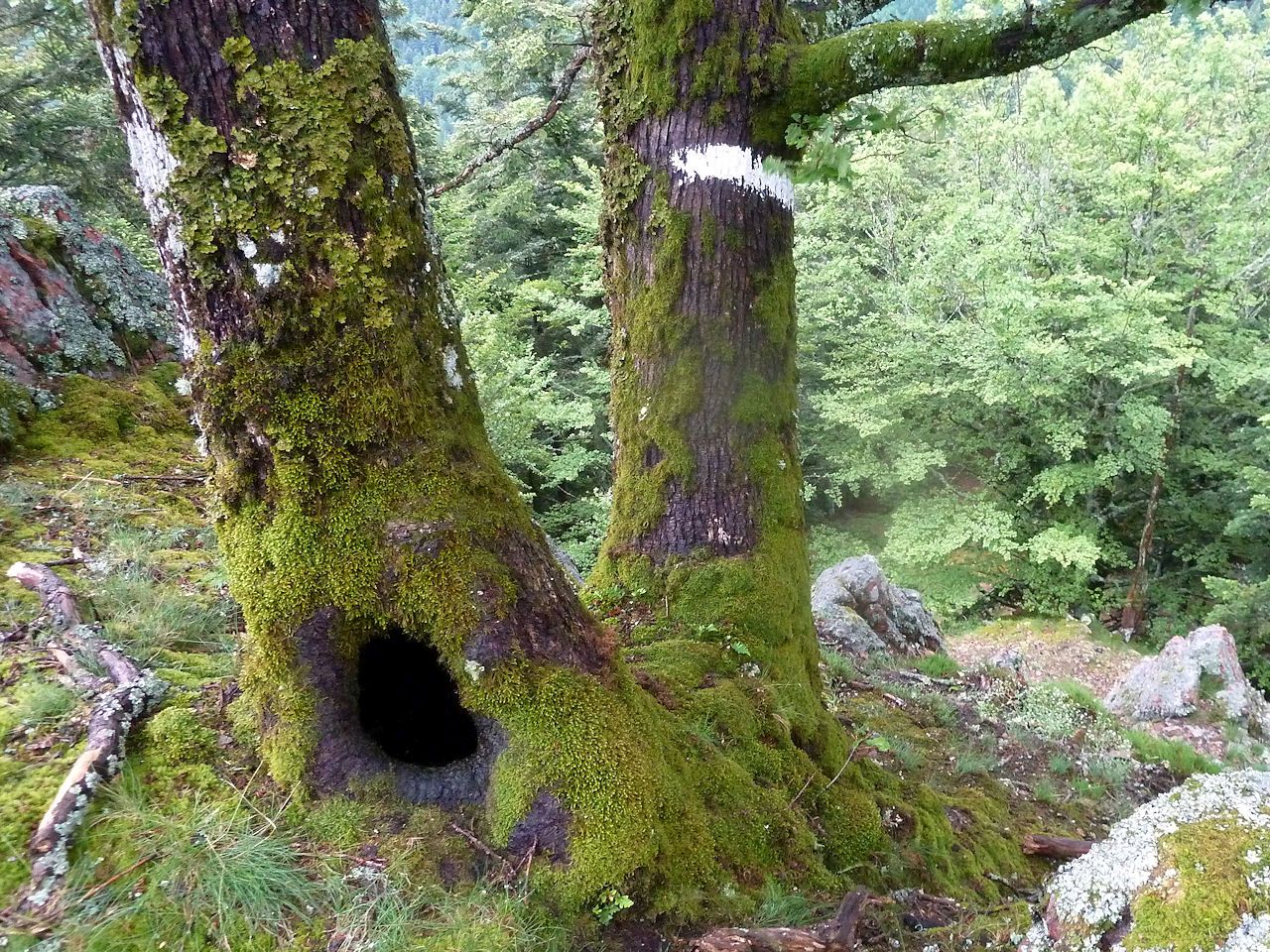
Vieux-Thann - Willer-sur-Thur - Blaufelsen - cascade du Bubalafels - Altrain Sud - Place Zundel - col de Hundsruck - abri Weierlé - Vue Zuber - Vieux-Thann

June 07, 2012
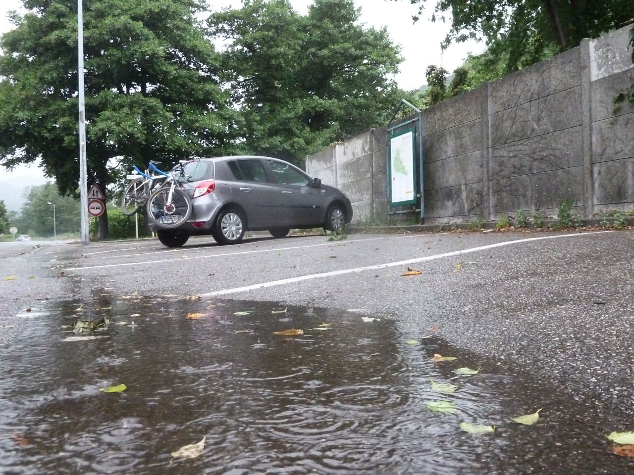
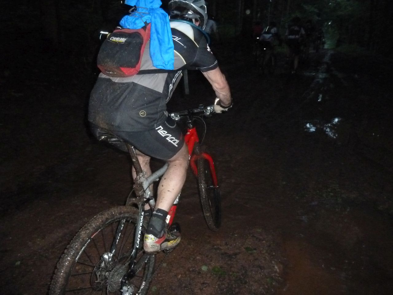
"rain vs Claude"
1 MTB (Claude)
Thannerhubel
May 31, 2012
"MTB or doctor"
24°C 75°F18 km 11 miles, 1h45 Elev.Gain 870 m 2800 feet
16 MTB (Alain, Bernard, Christophe, Christian, Claude, Denis, Fabrice, Franck, Georges, Gilles, Jean, Julien, Michel, Nicolas, Thomas, Yves)
Vieux-Thann - Rangenkopf - Waldkapelle - Kattenbachrunz - col du Grumbach - Pastetenplatz - Waldkapelle - Bruderthal.
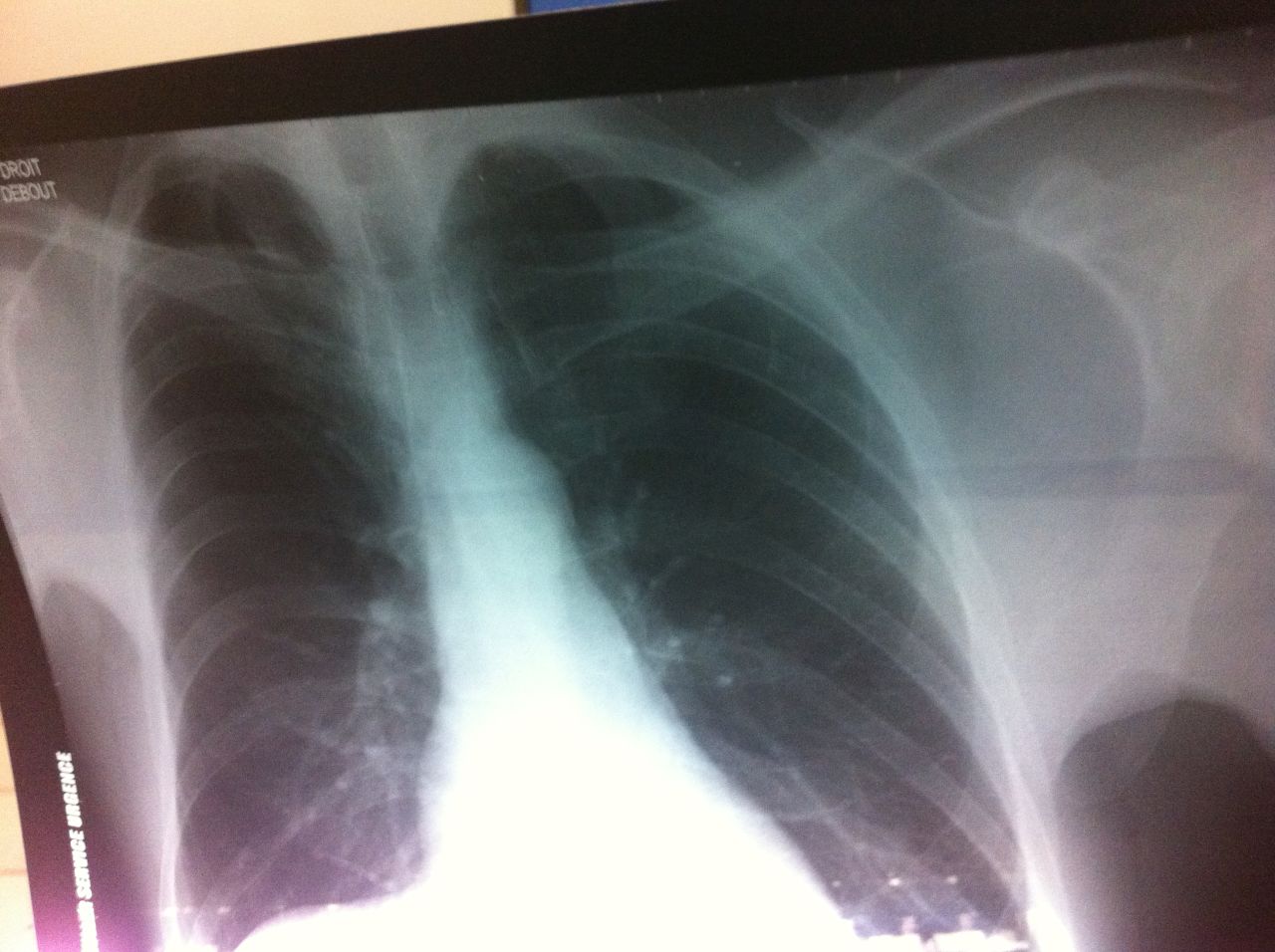

- the rib = la côte
- the spleen = la rate
- the lung = le poumon
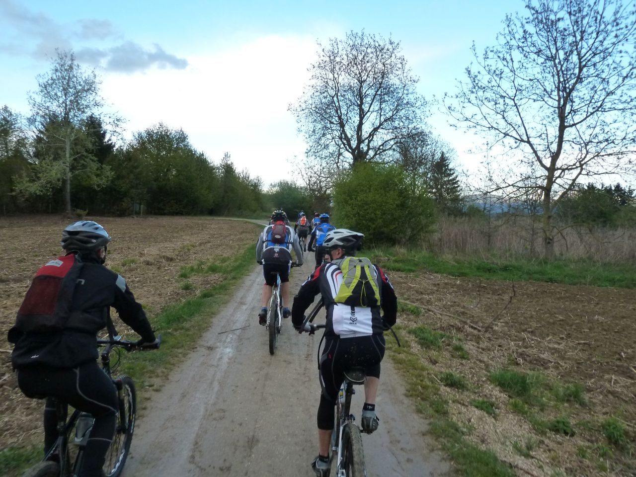
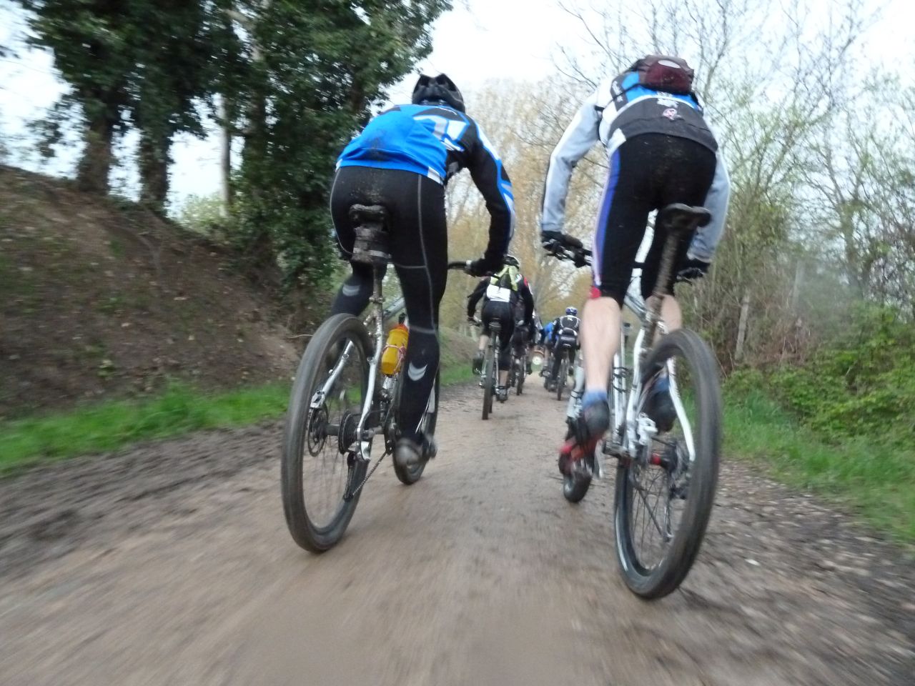
May 24, 2012
"Molkenrain and mud"
28-24°C 82-75°F28 km 17 miles, 2h05 Elev.Gain 900 m 3000 feet

13 MTB (Alexis, Bernard, Christophe, Christian, Claude, Denis, Daniel, Franck, Georges, Jean, Julien, Thomas, Yves)
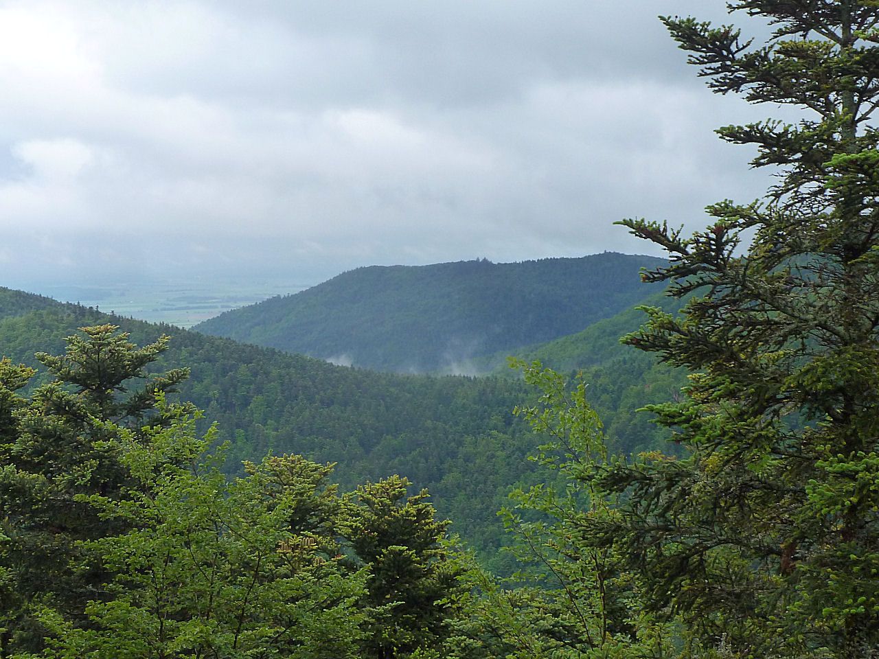
Cernay - Uffholtz - Wattwiller - col de Herrenfluh - FA Molkenrain (1040m) - refuge AN Thann (1090m) - Waldkapelle - croix du Rangen - Steinbach - Cernay
May 10, 2012
"Hugstein"
26°C 79°F21 km 13 miles, 2h Elev.Gain 820 m 2700 feet
17 MTB (Christian, Claude, Denis, Daniel, Jean, Jean-Luc, Joël, Julien, Luc, Michel, Pascal, Marco, Romuald, Thierry, Thomas, Yves)
Guebwiller - col de Peternit - Rehbrunnenkopf - Bildstoecklé - Hugstein
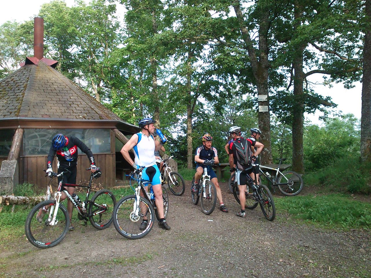
May 03, 2012
"Thanner Hubel"
25 km 15 miles, 1h45
Elev.Gain 910 m 3000 feet6 MTB (Franck, Gilles, Jean-Luc, Joël, Pascal, Thierry)
Vieux Thann - Thanner Hubel

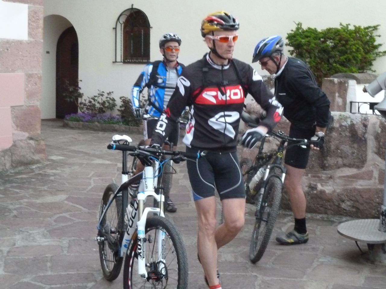
April 26, 2012
"Schauenberg"
22-17°C 72-62°F32 km 20 miles, 2h00 Elev.Gain 700 m 2300 feet
14 MTB (Alain, Bernard, Christophe, Franck, Jean-Luc, Laurent, Luc, Michel, Pascal, Thierry, Thomas, Yves ...)
Guebwiller - Bergholtz - Bollenberg - Westhalten - Pfaffenheim - ND de Schauenberg - Orschwihr - Berholtz-Zell - Guebwiller
April 19, 2012
"the baptism"
14°C 57°F15 km 9 miles, 1h00 Elev.Gain 260 m 850 feet
10 MTB (Christophe, Fabien, Franck, Georges, Jean-Luc, Michel, Thierry, Thomas, Yves ...)
The first one
- it will be better next time!!
 be4.free.fr/jeudi/2012/index_en.htm
- 06/2012 - kch
be4.free.fr/jeudi/2012/index_en.htm
- 06/2012 - kch