

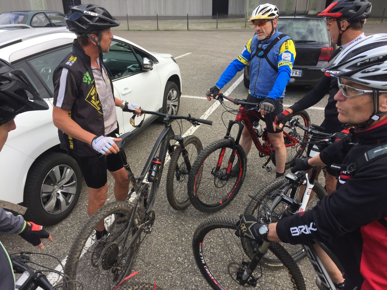
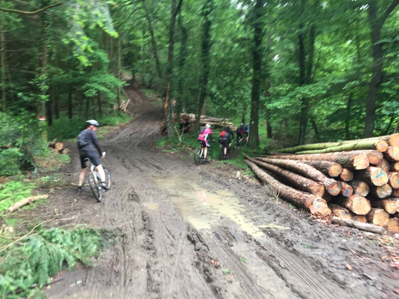
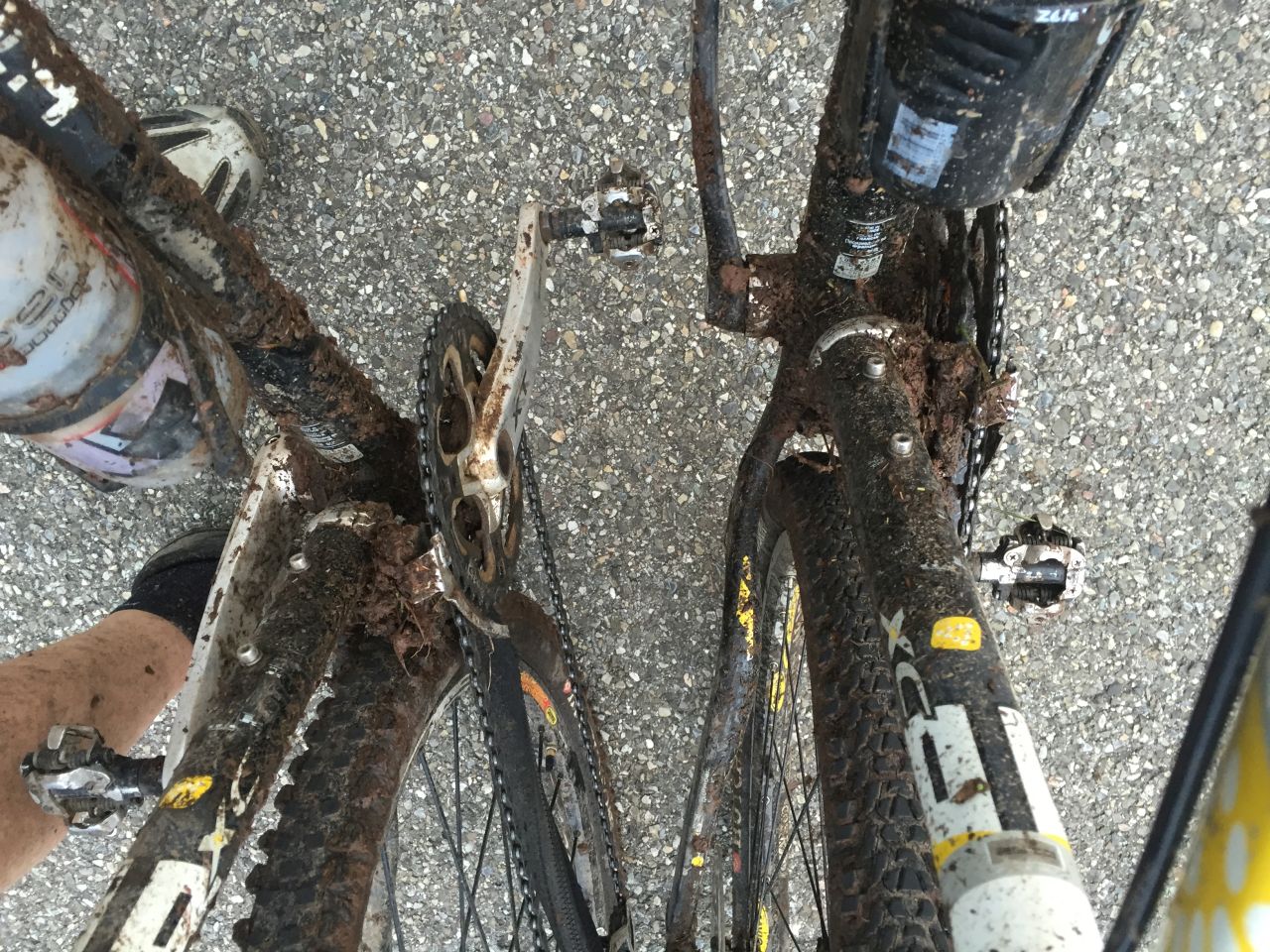
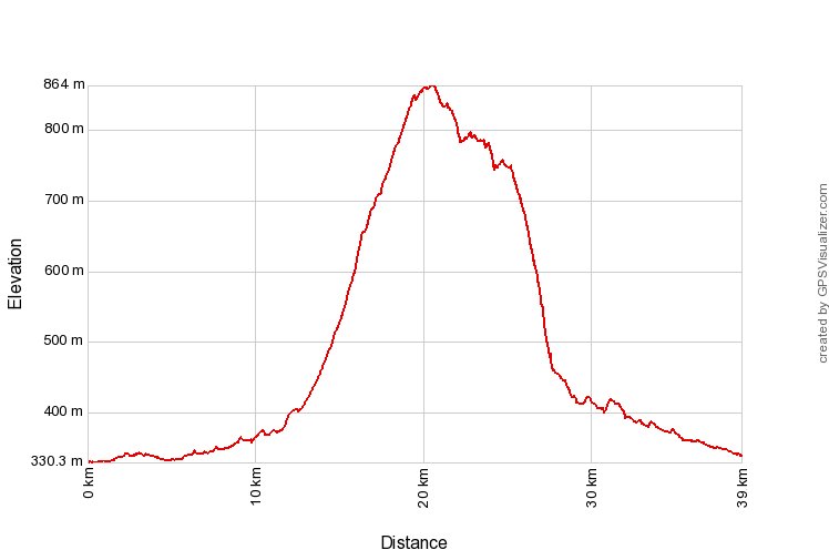
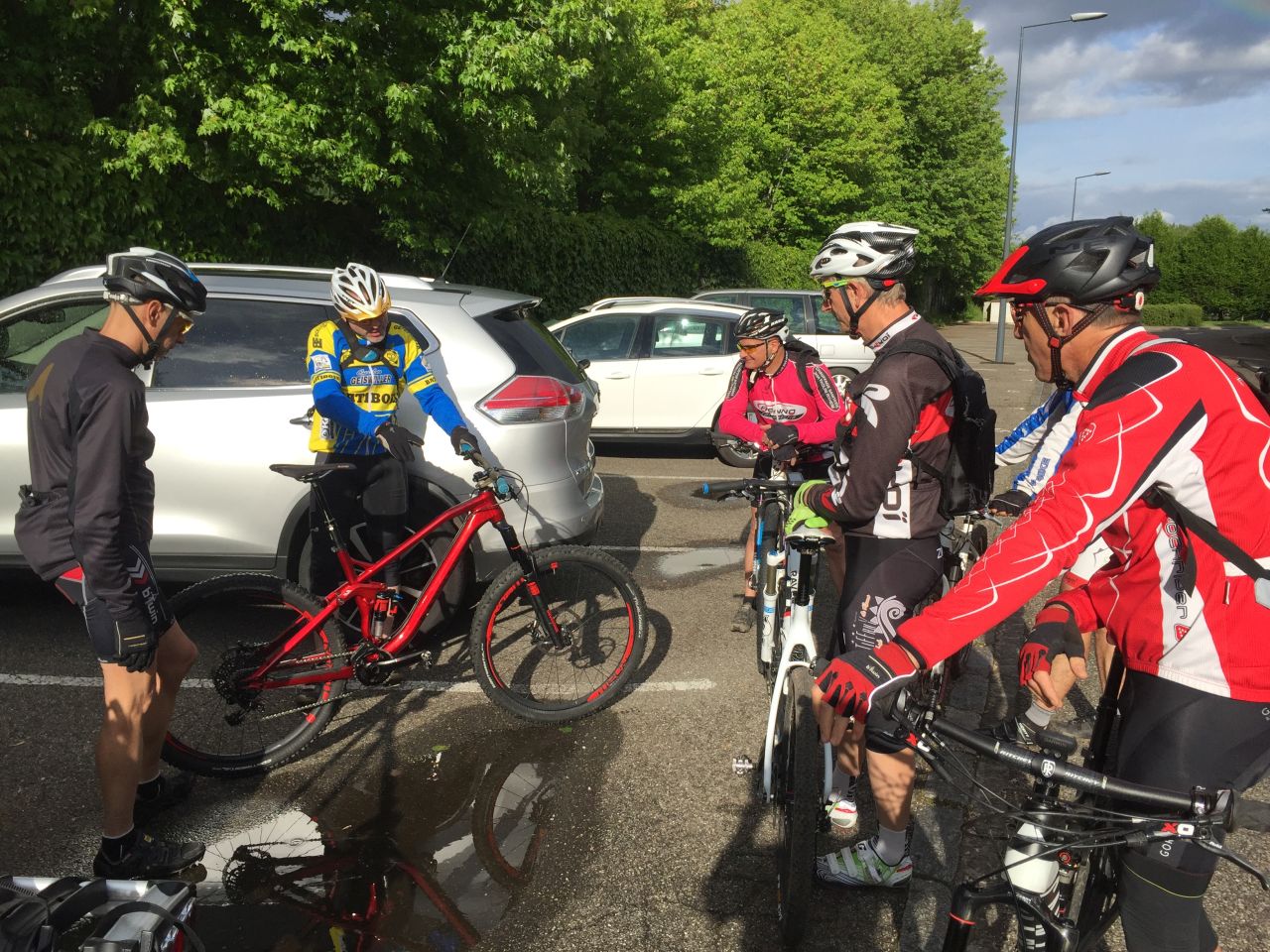
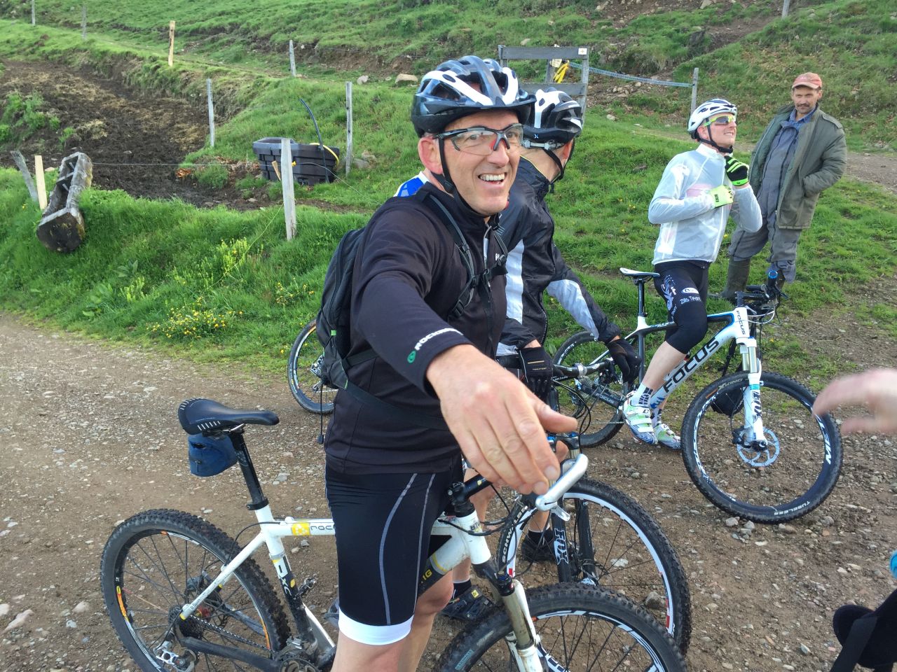
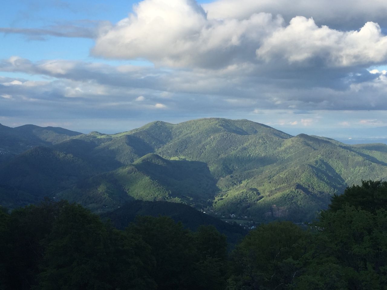
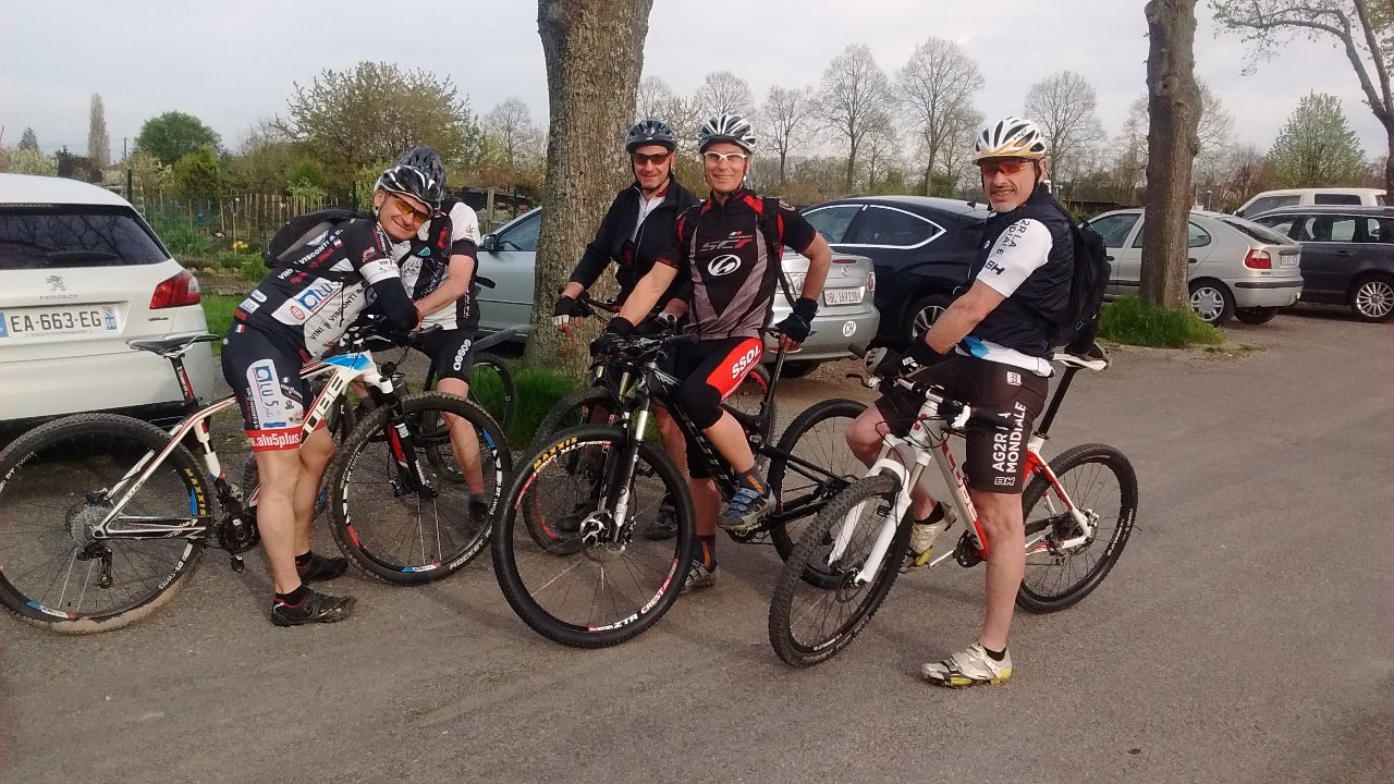
June 30, 2016
"bad luck and eagle eyes - chat noir et oeil de lynx"
 25-18°C 77-64°F
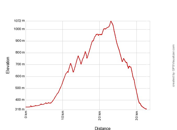
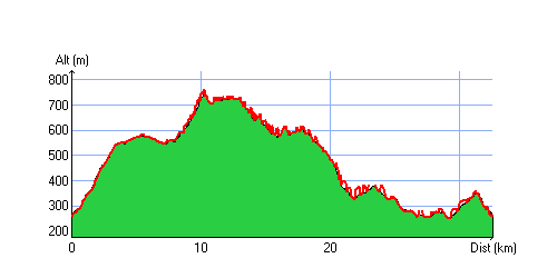
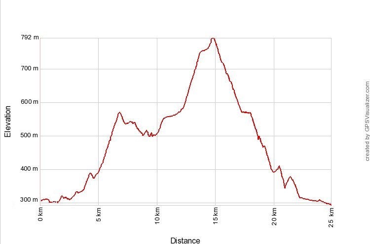
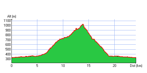
33 km 20 miles 2h50 Elev.Gain 950 m 3100 feet


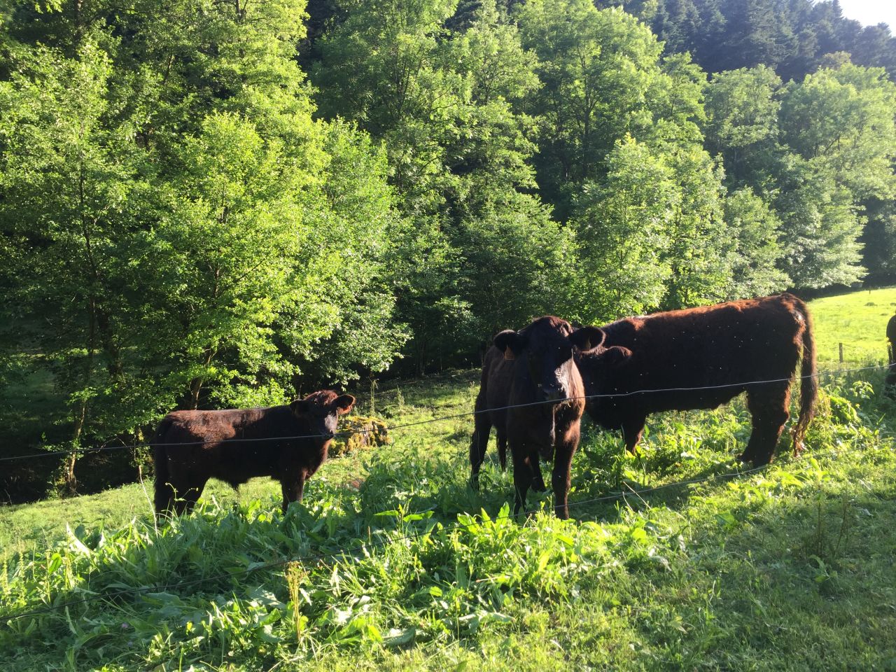
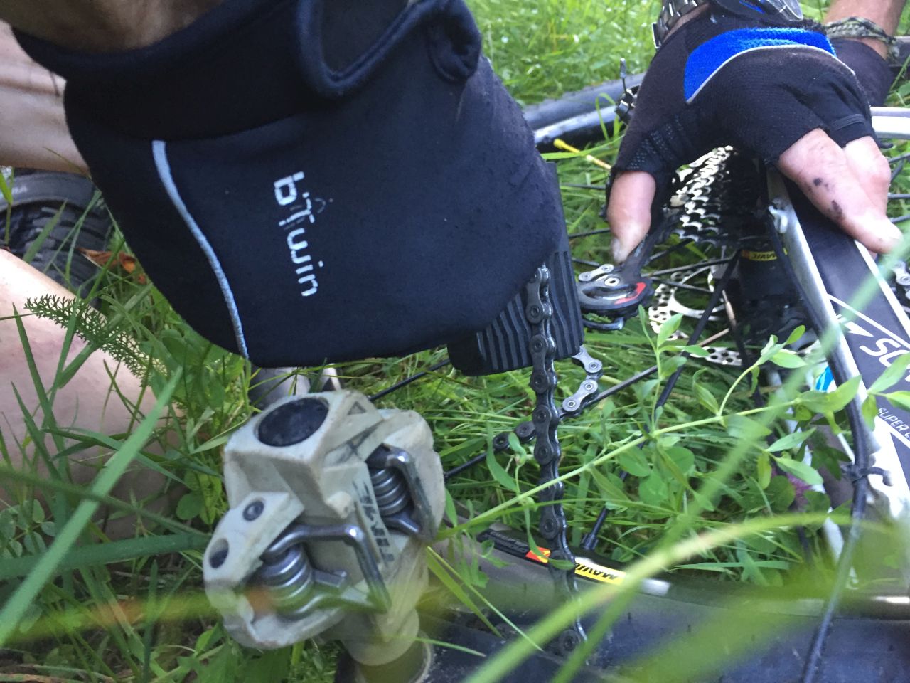
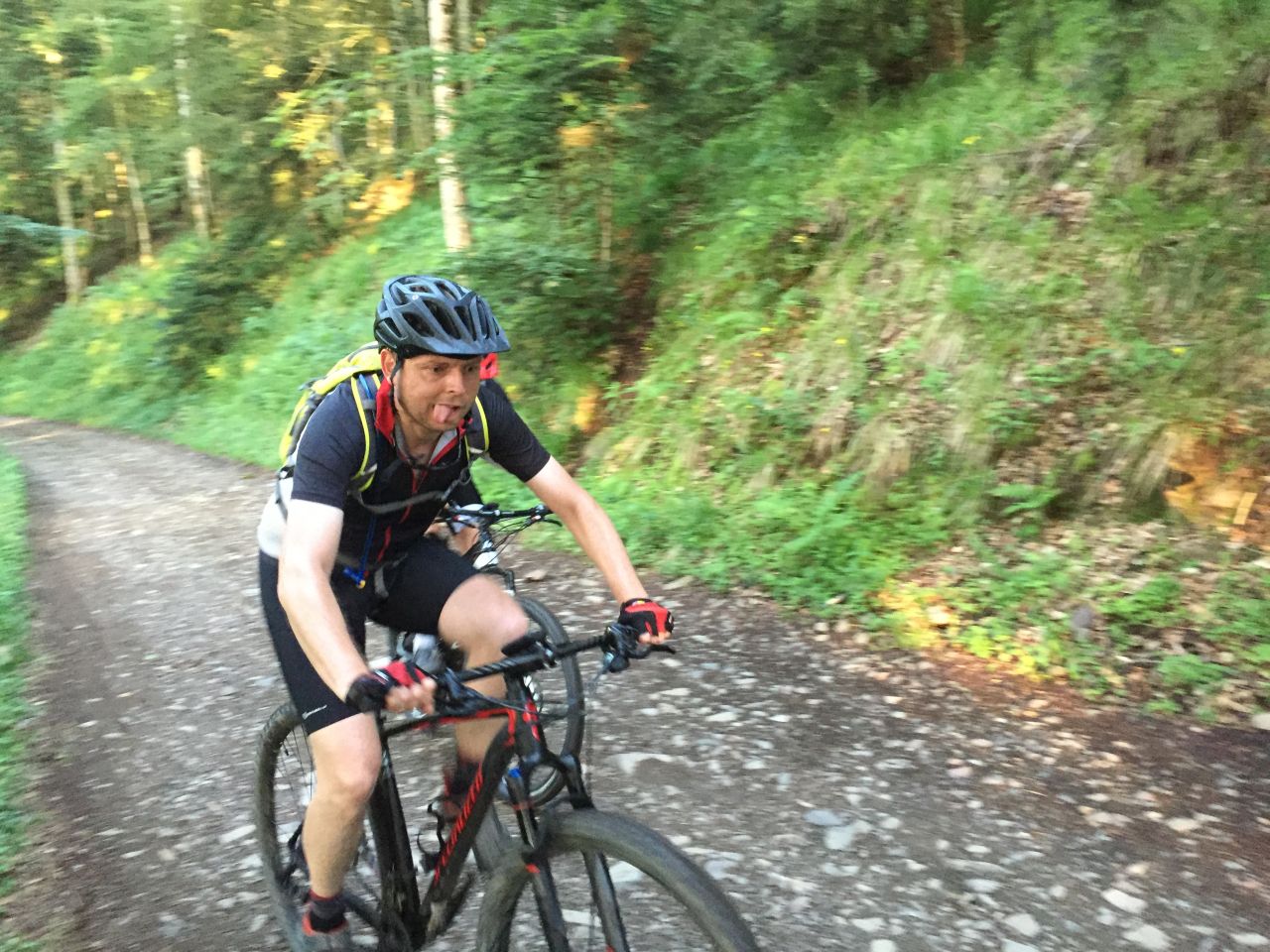
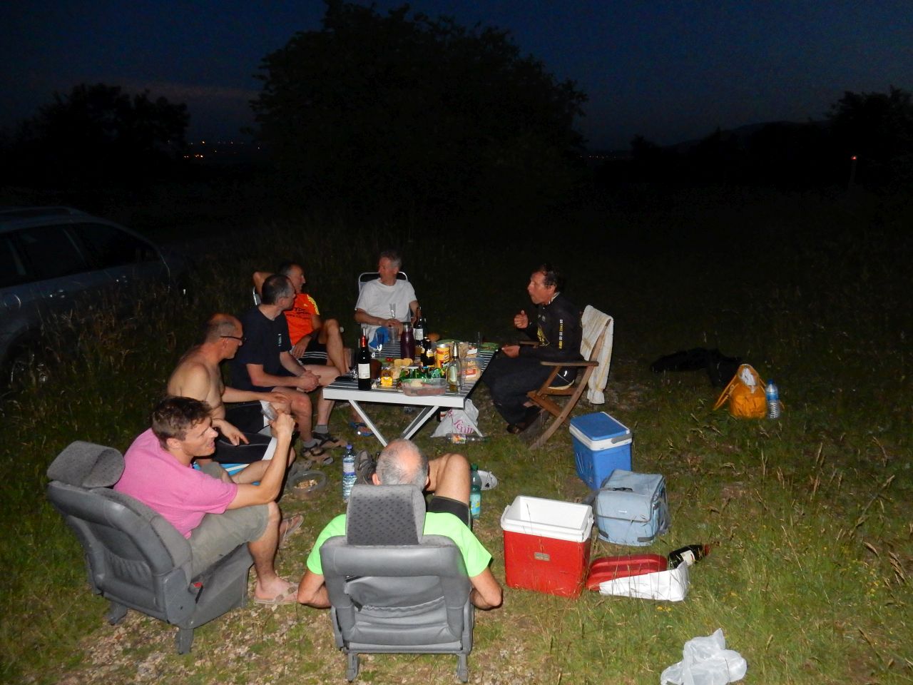
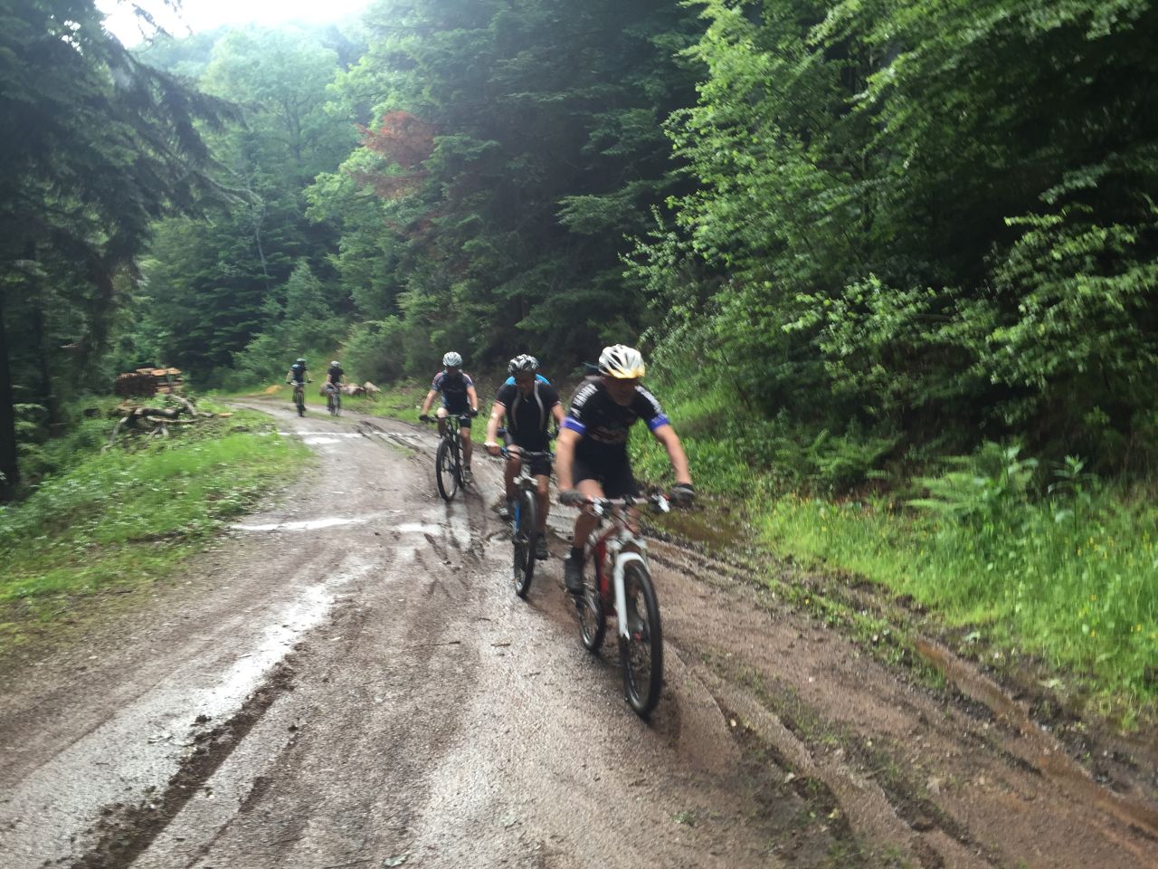
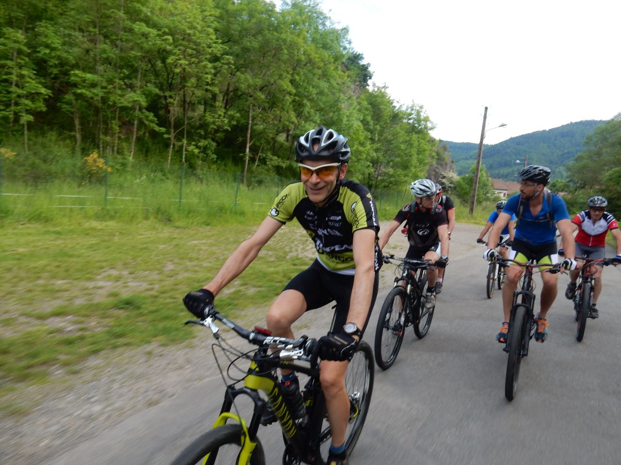
10 MTB (Bernard, Christian, X, Claude, Daniel, Fred, Jean-Claude, Laurent, Michel, Thierry)
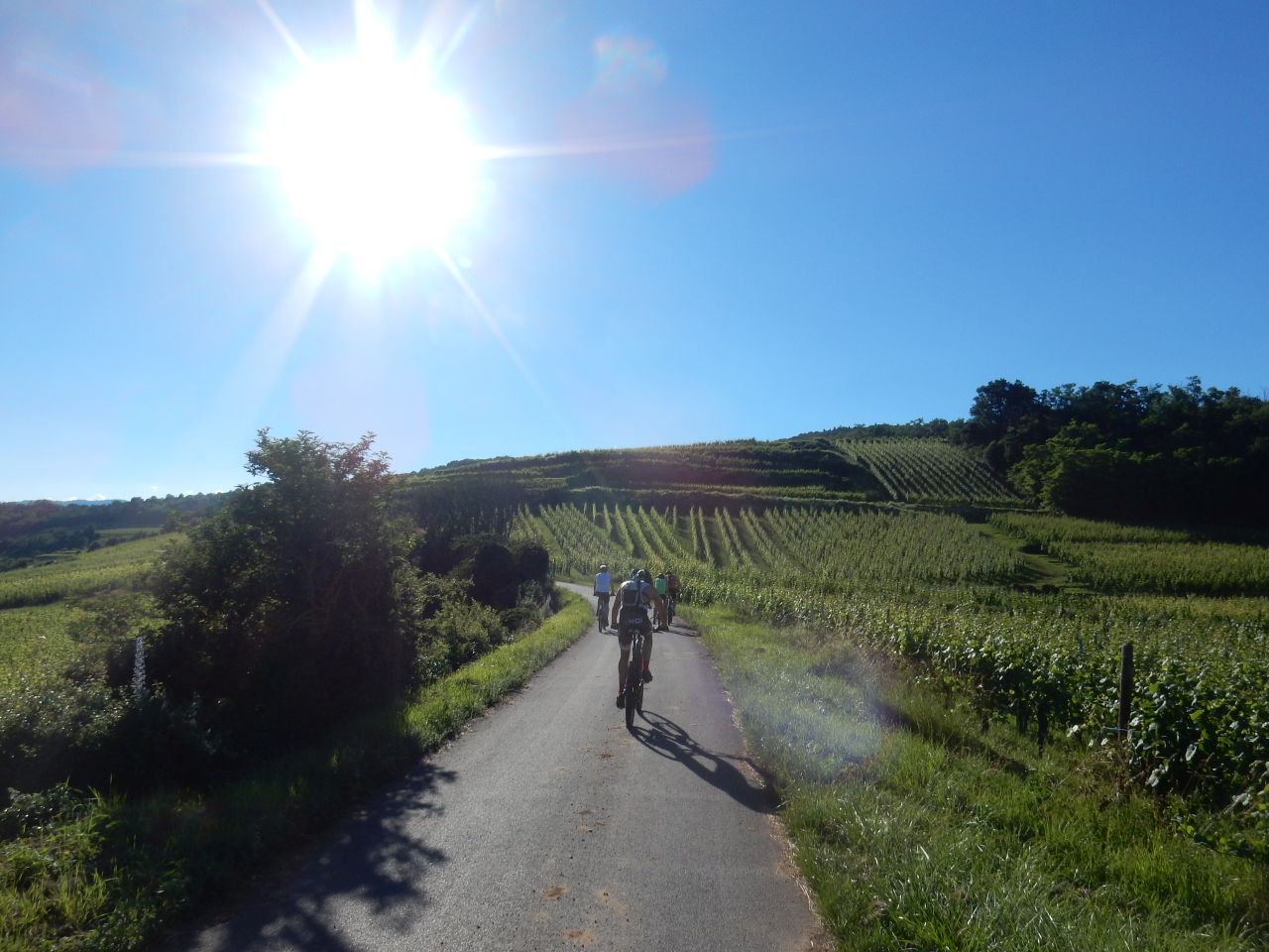
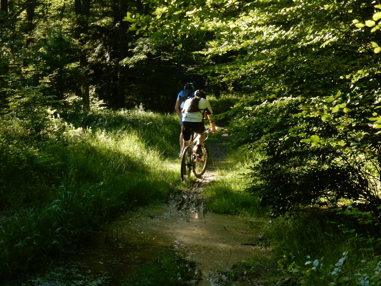
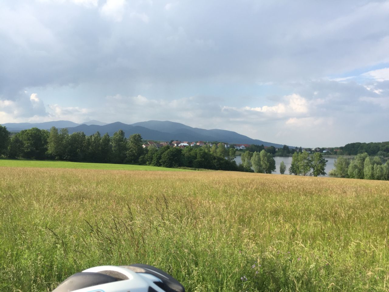
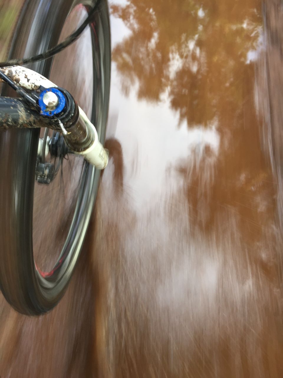
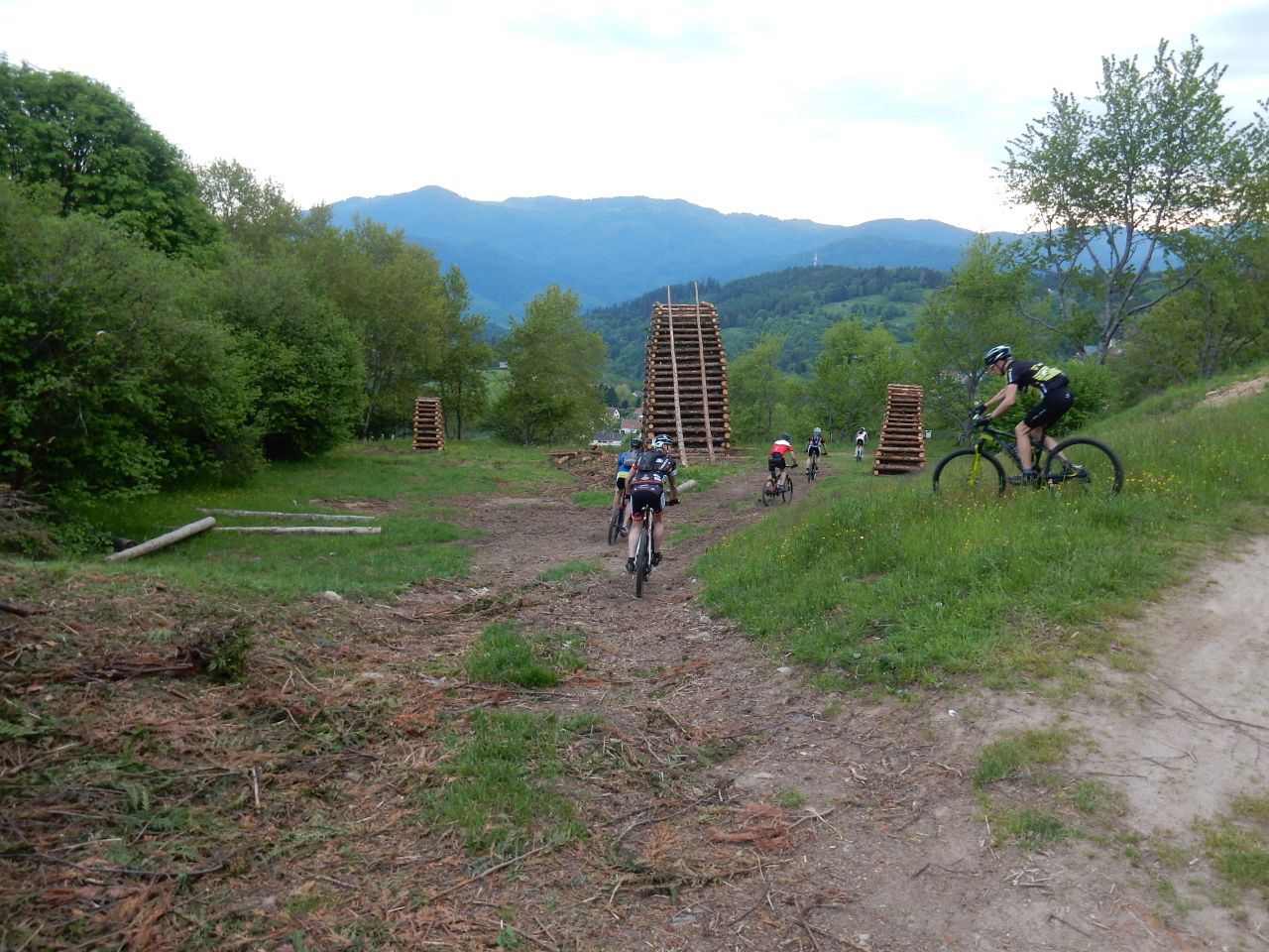
Thann - Willer-sur-Thur - Bitschwiller - Altrain - Belacker - Gsang - Rossberg - Thann

 39 pictures (G Photo)
 video "Gsang 2016" (0:43)
 June 23, 2016
"Hohlandsbourg"
33-24°C 91-75°F37 km 23 miles 2h40 Elev.Gain 800 m 2600 feet
9 MTB (Christian, Christophe, Claude, Daniel, Jean-Claude, Laurent, Michel, Romuald, Thierry)
Westhalten - ND du Hubel - Osenbuhr - Stauffenmatt - rocher Turenne - Hohlandsbourg - Husseren-les-Chateaux - Voegtlinshoffen - Gueberschwihr - Westhalten

June 09, 2016
"after floods - après les inondations"
 22-17°C 71-62°F
33 km 20 miles 2h30 Elev.Gain 700m 2300 feet
7 MTB (Bernard, Christophe, Claude, Denis, Gilles, Jean-Claude, Yves)
Schweighouse-Thann - barrage de Michelbach - Rammersmatt - Bourbach-le-Bas - Bourbach-le-Haut - Hochburg - abri du Weierlé - Thann - Aspach-le-Haut - Aspach-le-Bas - Schweighouse-Thann

June 02, 2016
"Cernay ... after the rain"
15°C 59°F25 km 15 miles 2h10 Elev.Gain 600m 2000 feet
10 MTB (Bernard, Christophe, Claude, Daniel, Denis, Fred, Gilles, Jean-Claude, Laurent, Thierry)
Cernay - Uffholtz - Wattwiller - Schletzenbourg - Pastetenplatz - Waldkapelle - Croix du Rangen - Vx-Thann - Cernay

May 26, 2016
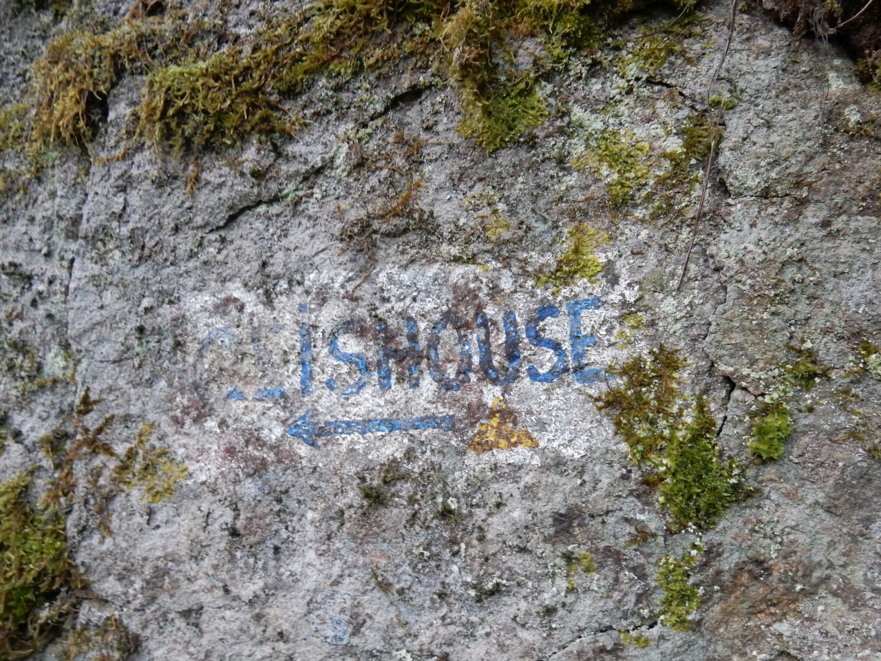
"Geishouse"
23-19°C 73-66°FC1:35 km C1: 22 miles 2h35
C2: 38 km C2: 23 miles 2h50 Elev.Gain 600/700m 2000/2300 feet
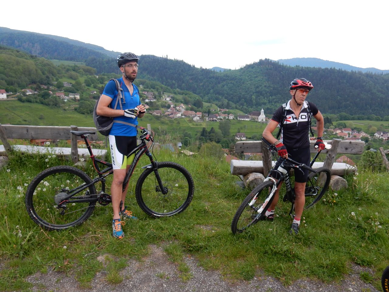
9 MTB (Bernard, Christian, Christophe, Gilles, Jean-Claude, Julien (2), Michel, Thierry, Yves)
Vieux Thann - Willer-sur-Thur - Altenbach - Geishouse - St Amarin - Moosch - Willer-sur-Thur - Bitschwiller - Thann
May 19, 2016
"ThannerHubel"
14-9-12°C 57-48-53°F25 km 18 miles 1h30 Elev.Gain 700 m 2300 feet
8 MTB (Christian, Christophe, Claude, Denis, Jean-Claude, Michel, Thierry, Yves)
Vieux Thann - Bitschwiller-les-Thann - ThannerHubel - Thann

April 20, 2016
"first trip - Première"
15-18°C 59-64°F25 km 15 miles, 1h30 (average speed 15.92 km/h) Elev.Gain 500 m 1600 feet
12 MTB (Bernard, Daniel, Denis, Gilles, Jean B, Jean Z, Jean-Claude, Laurent, Michel, Romuald, Thierry, Yves)
Guebwiller - Bergholtz - Bollenberg - Westhalten - Soultzmatt - Wintzfelden - Bannstein - Dreibannstein - Guebwiller
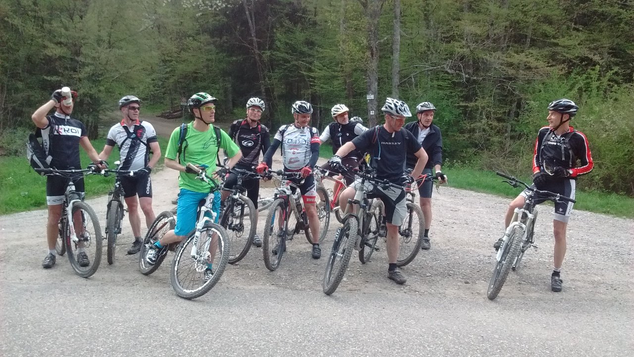
2 pictures (only)

Thx Michel for the info and the pictures
the first electric MTB is now in the team
