

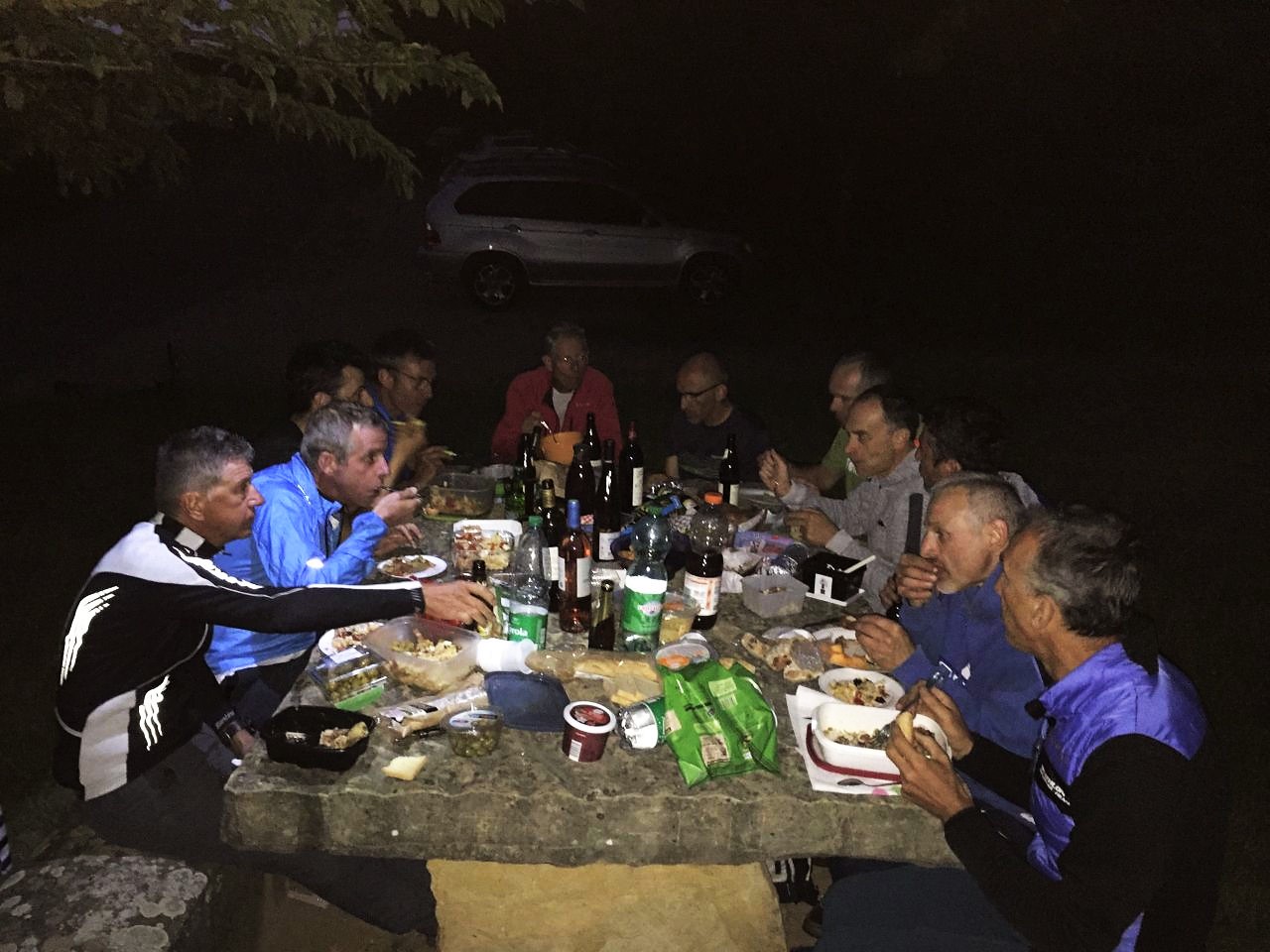
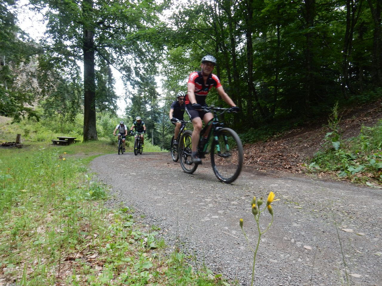
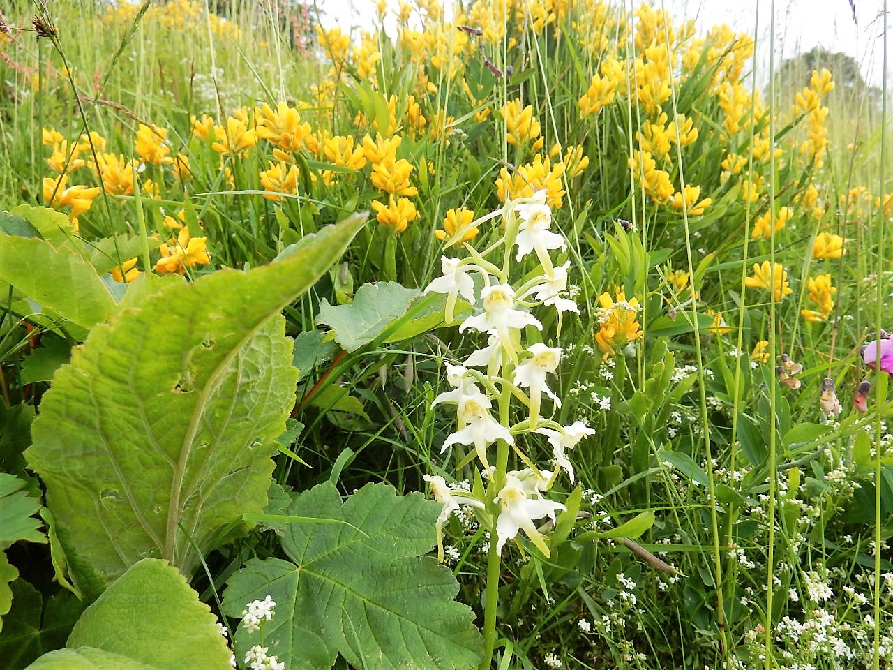
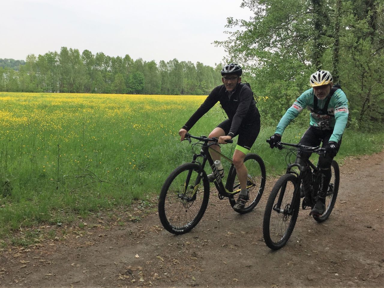
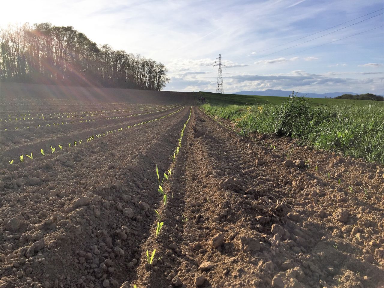
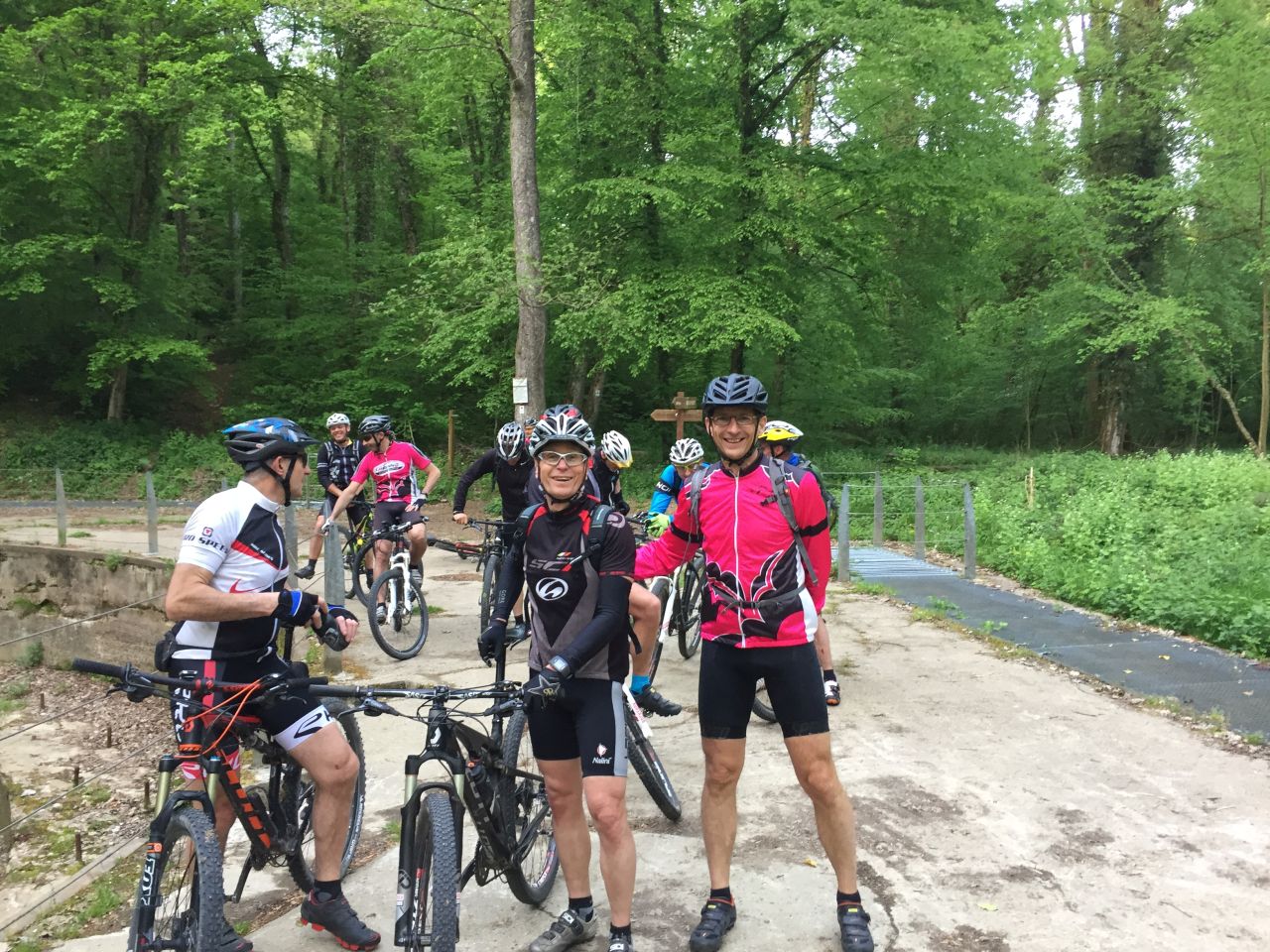
28/06/2018
"Sommeressen - repas d'été"
 23-20°C
30 km

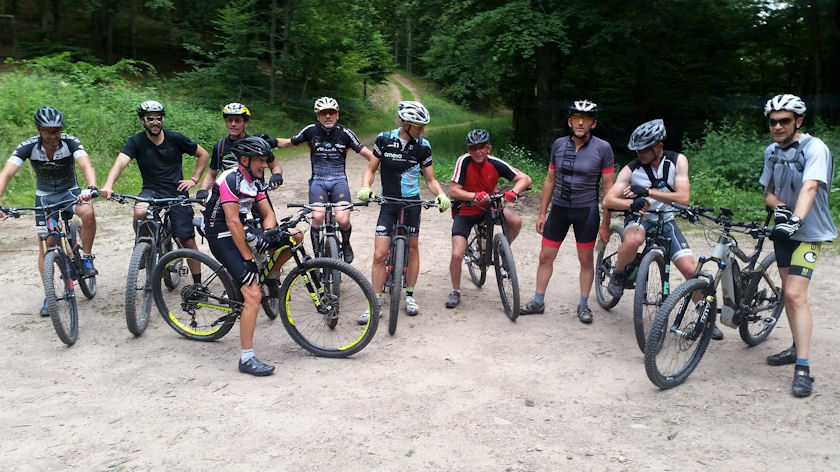
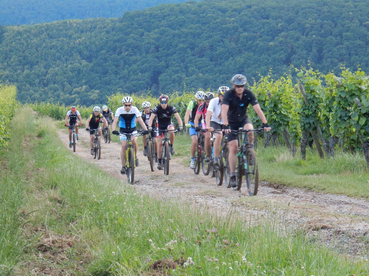
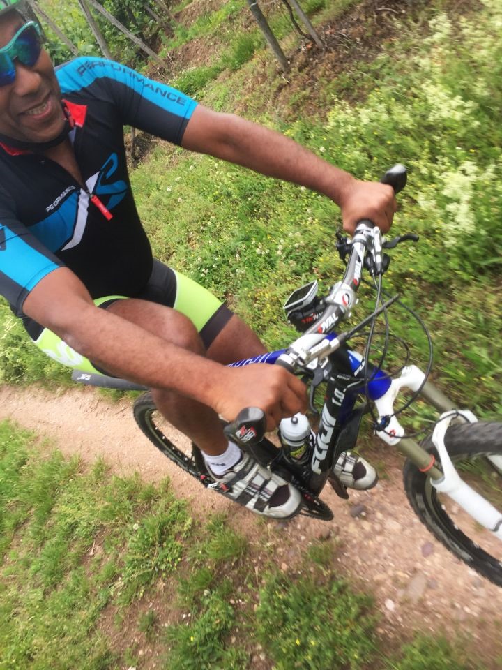
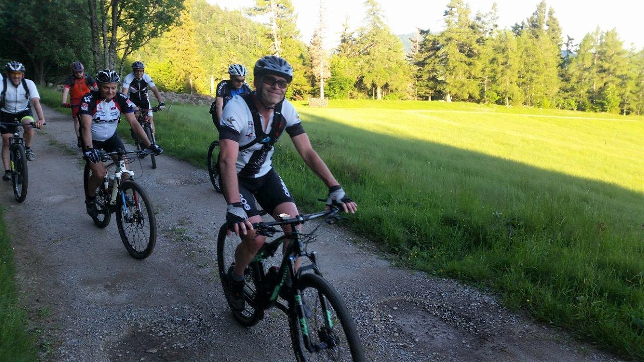
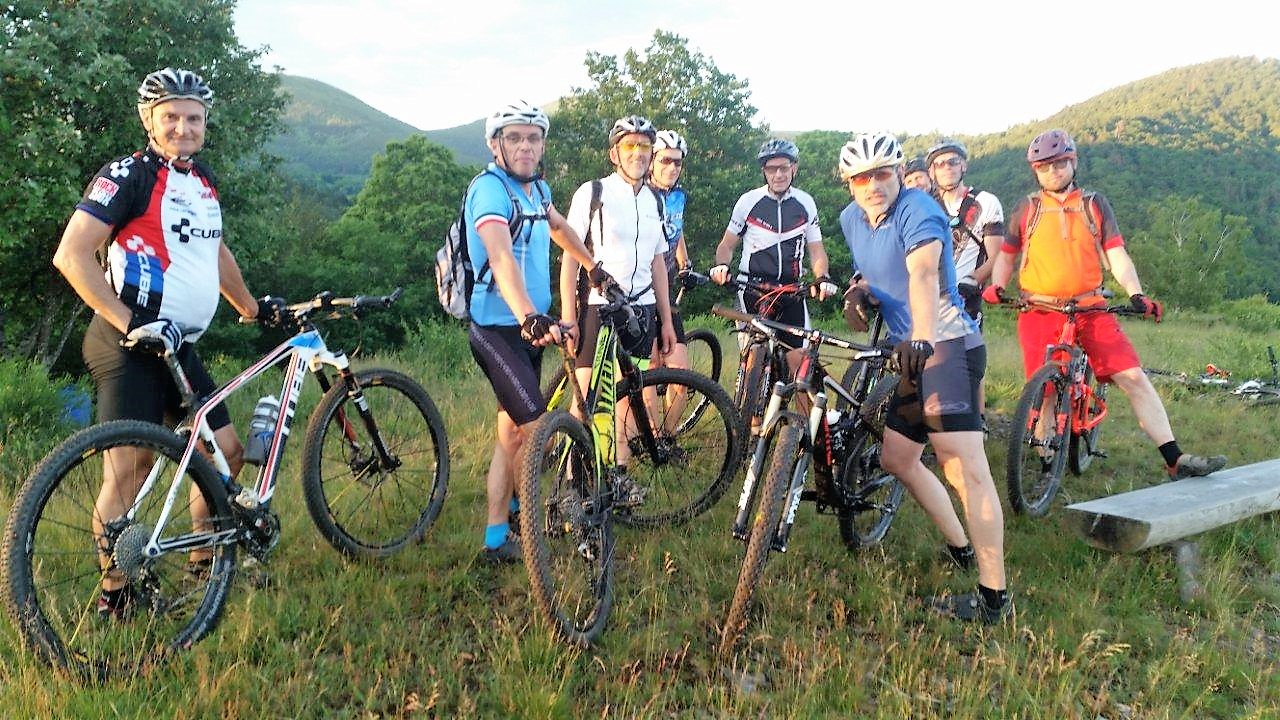
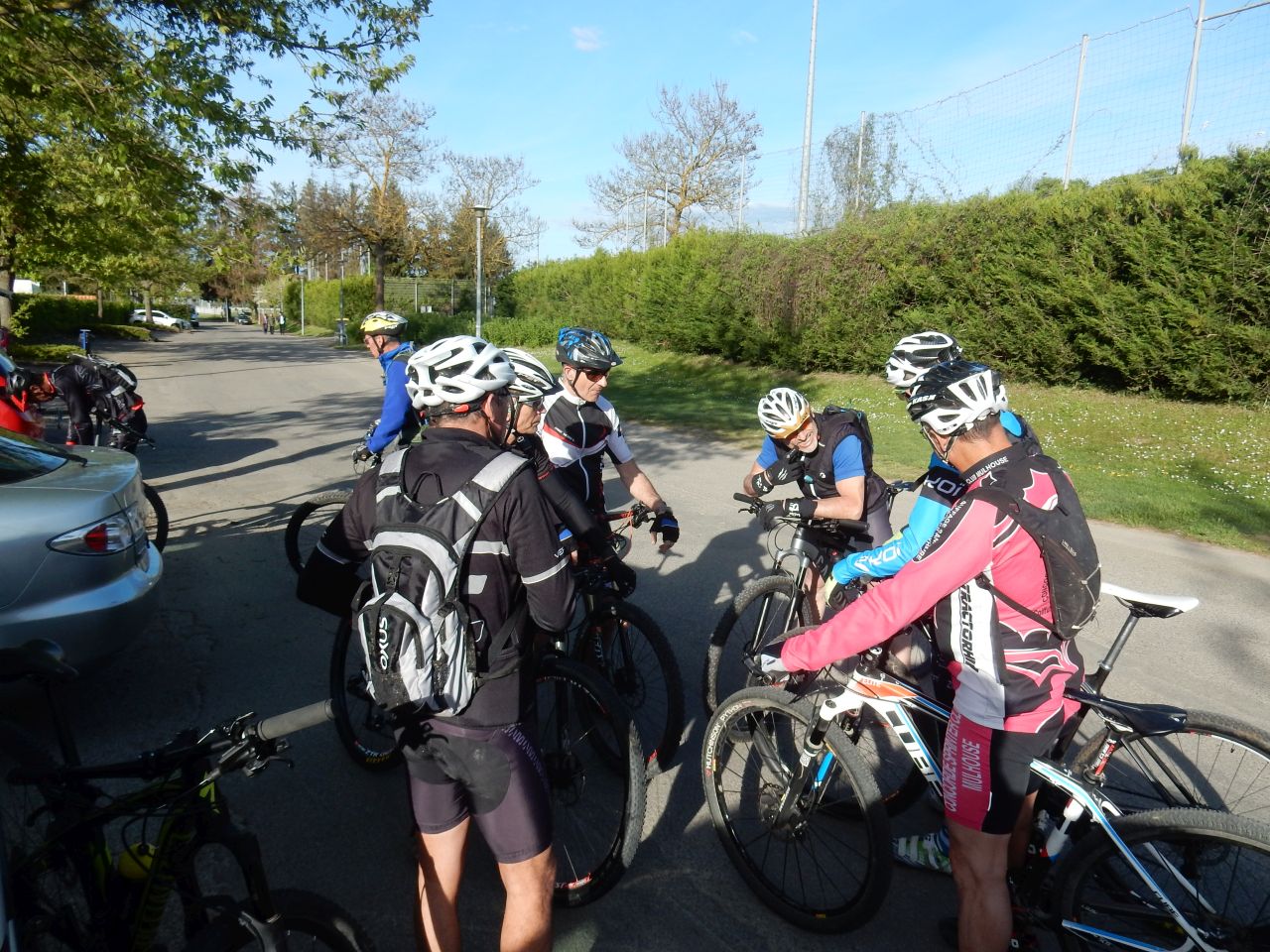
11 MTB (Claude, Denis, Dominique, Eric, Jean, Julien, Laurent, Luc, Michel, Thierry, Yves)
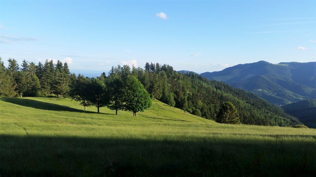
Westhalten, Hohlandsbourg, Westhalten

 20 Fotos (G Photo)
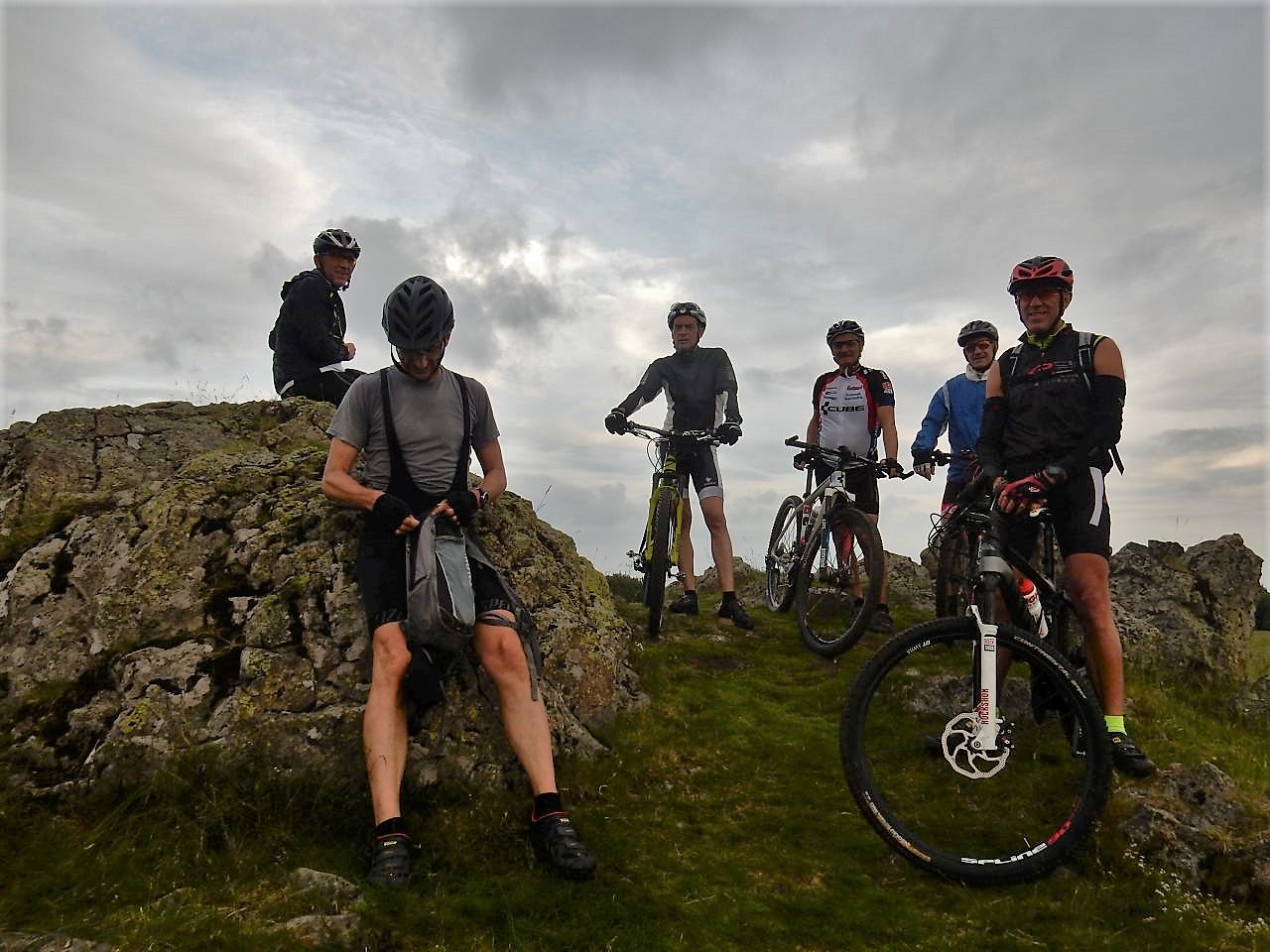
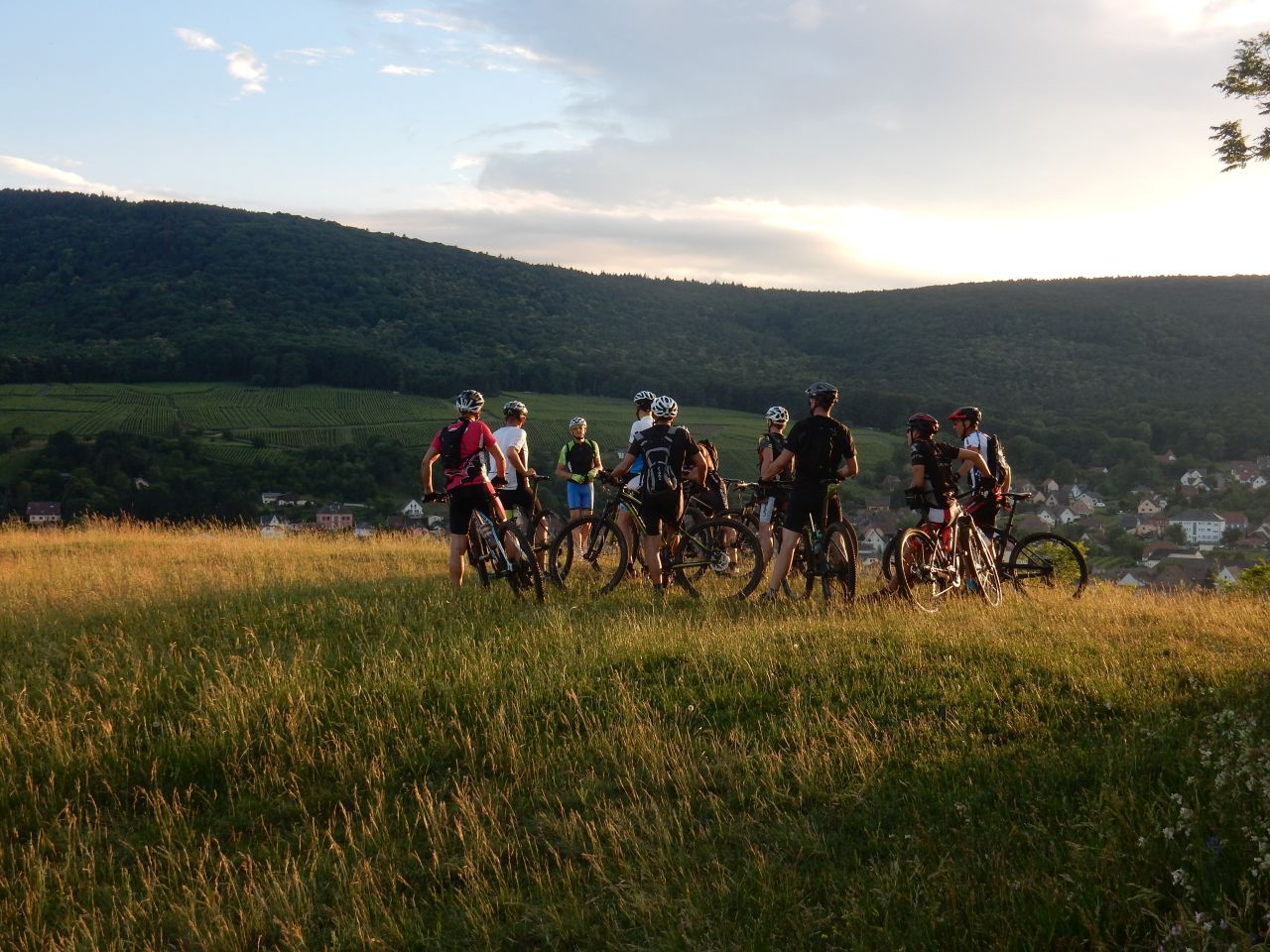
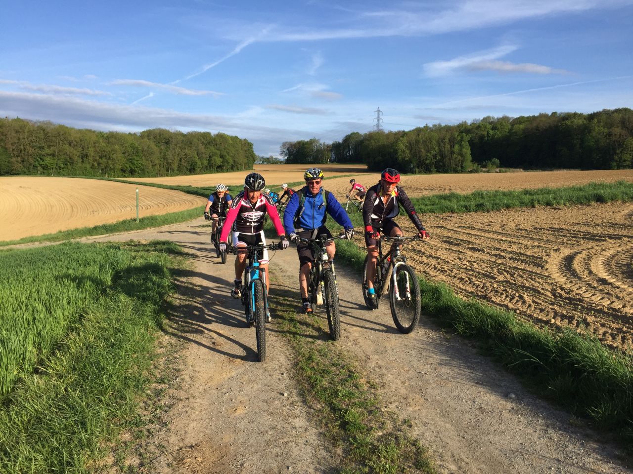
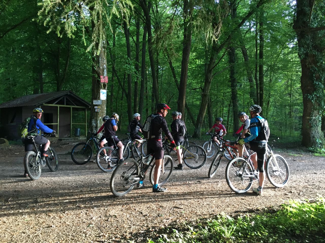
21/06/2018
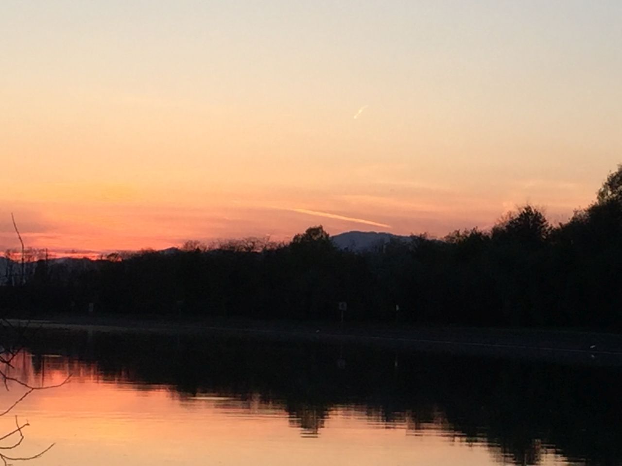
"Sommersonnenwende - Solstice d'été"
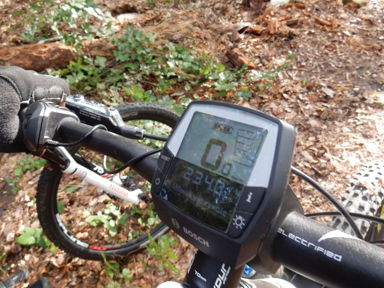
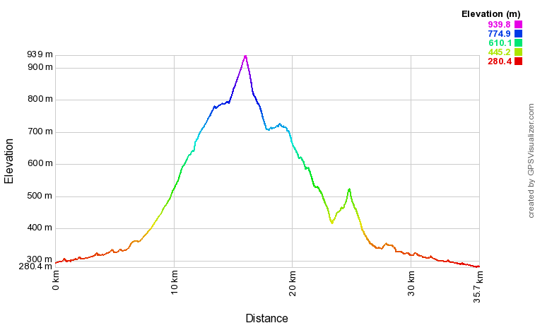
28-22°C31 km, 2h30 Hm 800 m

5 MTB (Christophe, Jean, Michel, Patrick, Thierry)
Westhalten, ND Schauenberg, col de Wolfsgrube, Osenbuhr, Osenbach, Soultzmatt, Westhalten
 21 Fotos (G Photo)
  video (1:35 mn)
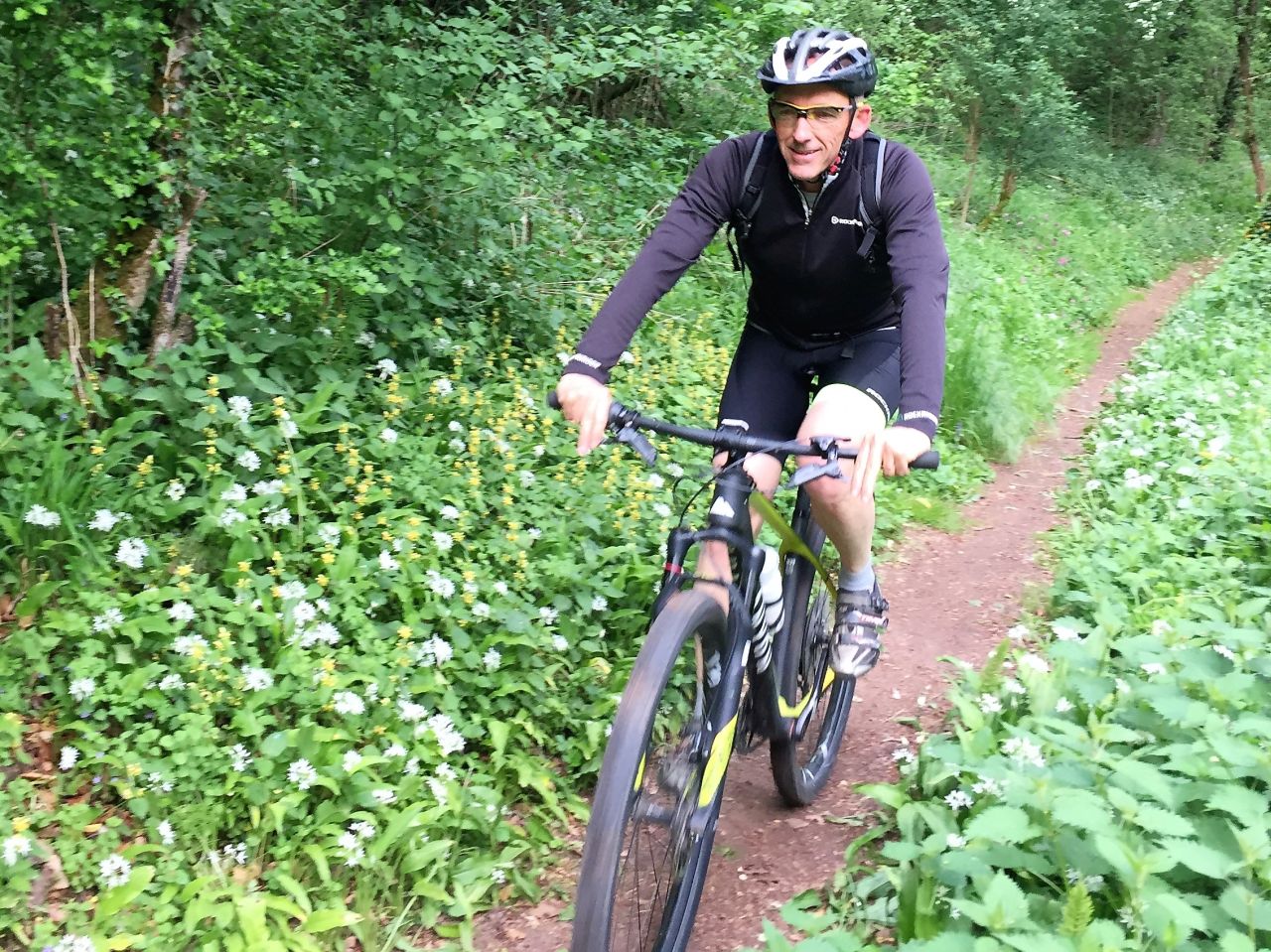
 14/06/2018
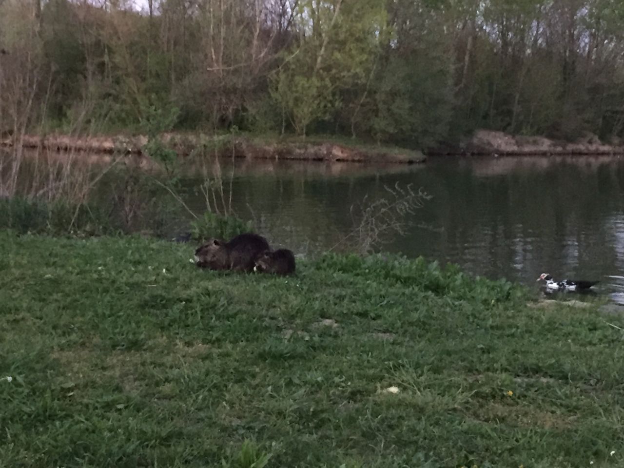
"col de Rimbach"
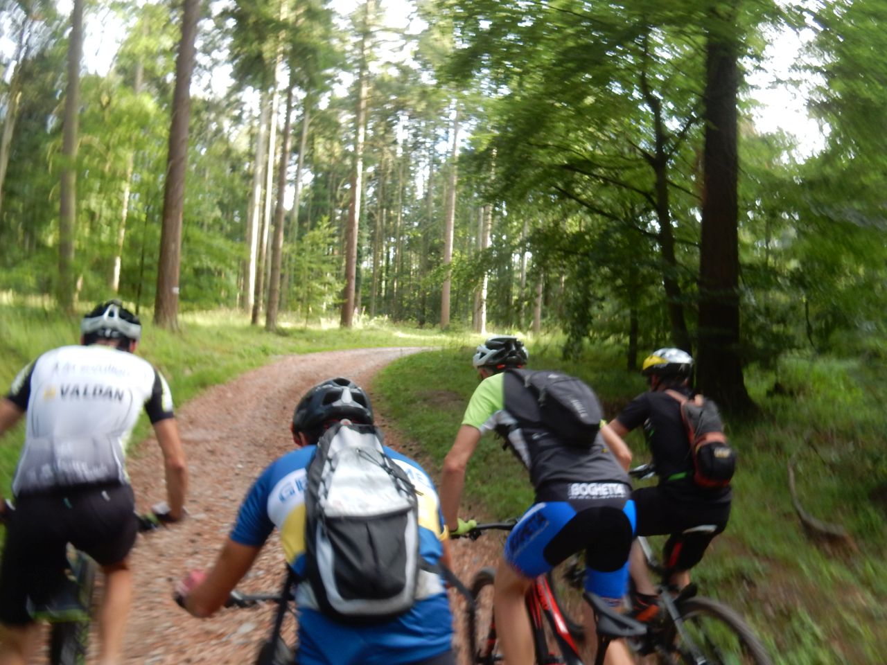
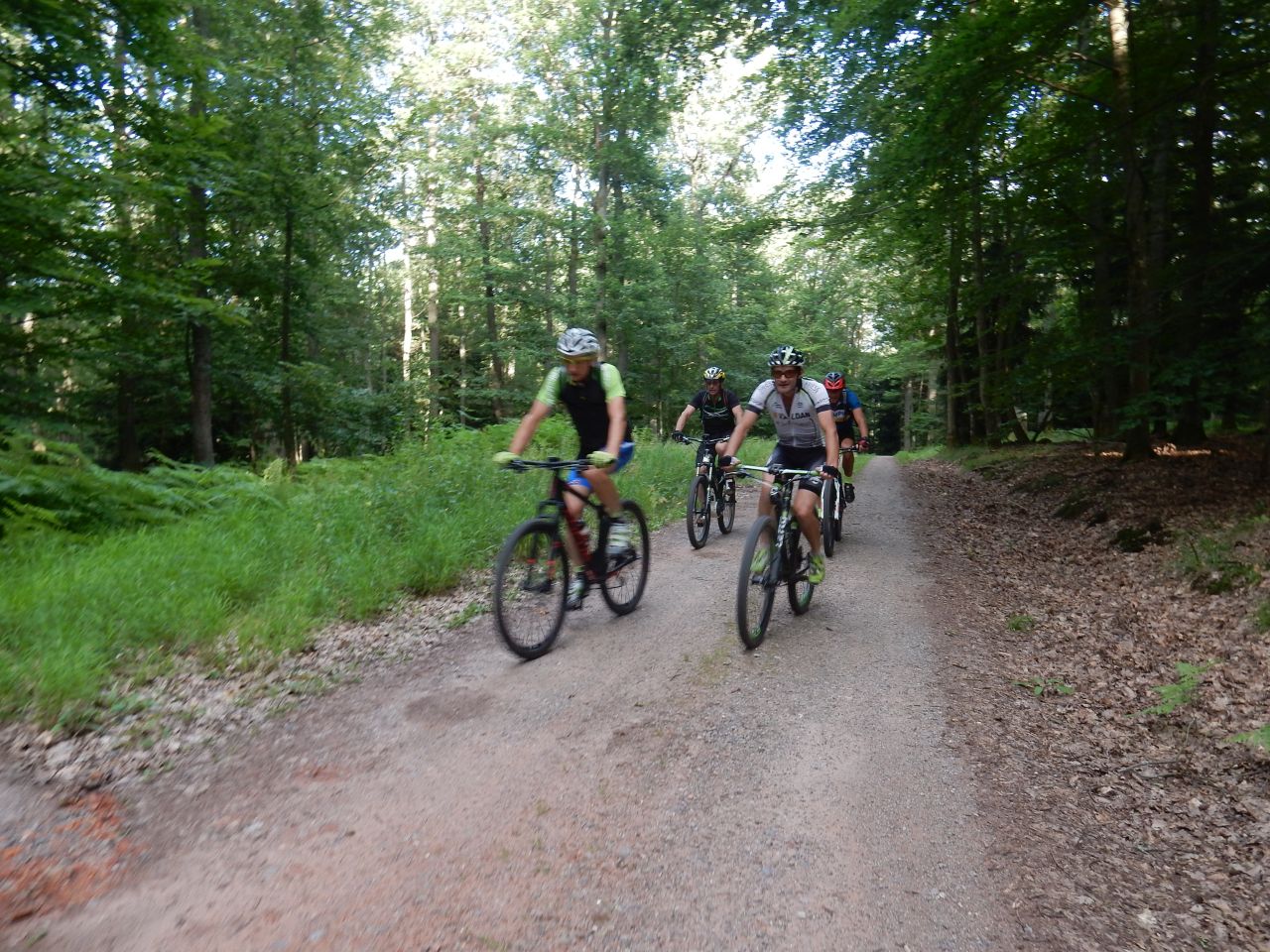
21-15-20°C38 km, 3h00 Hm 1000 m
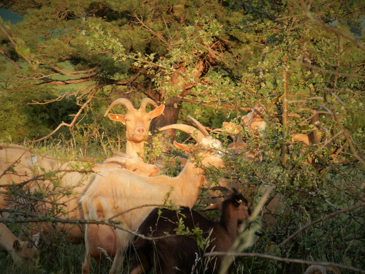
9 MTB (Bernard, Christophe, Claude, Denis, Jean-Claude, Laurent, Michel, Thierry, Yves)
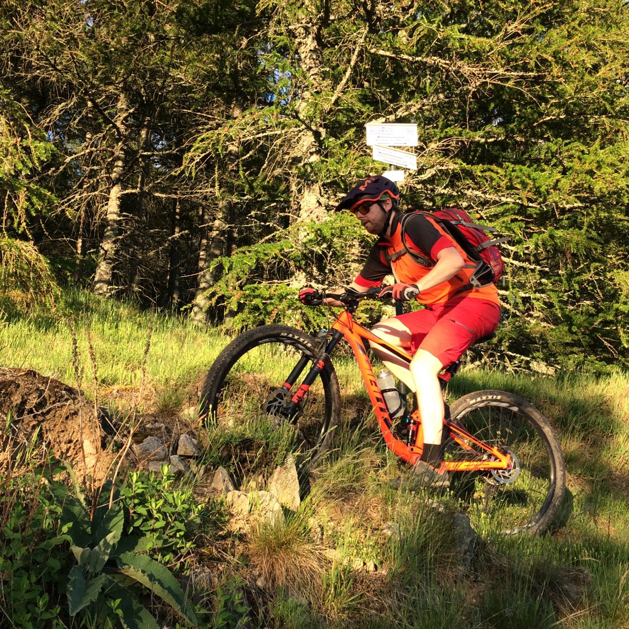
Thann, Bitschwiller, Thanner-Hubel, Rossberg, Belacker, col de Rimbach, col des Dreimarkstein, Moosch, Willer, Thann
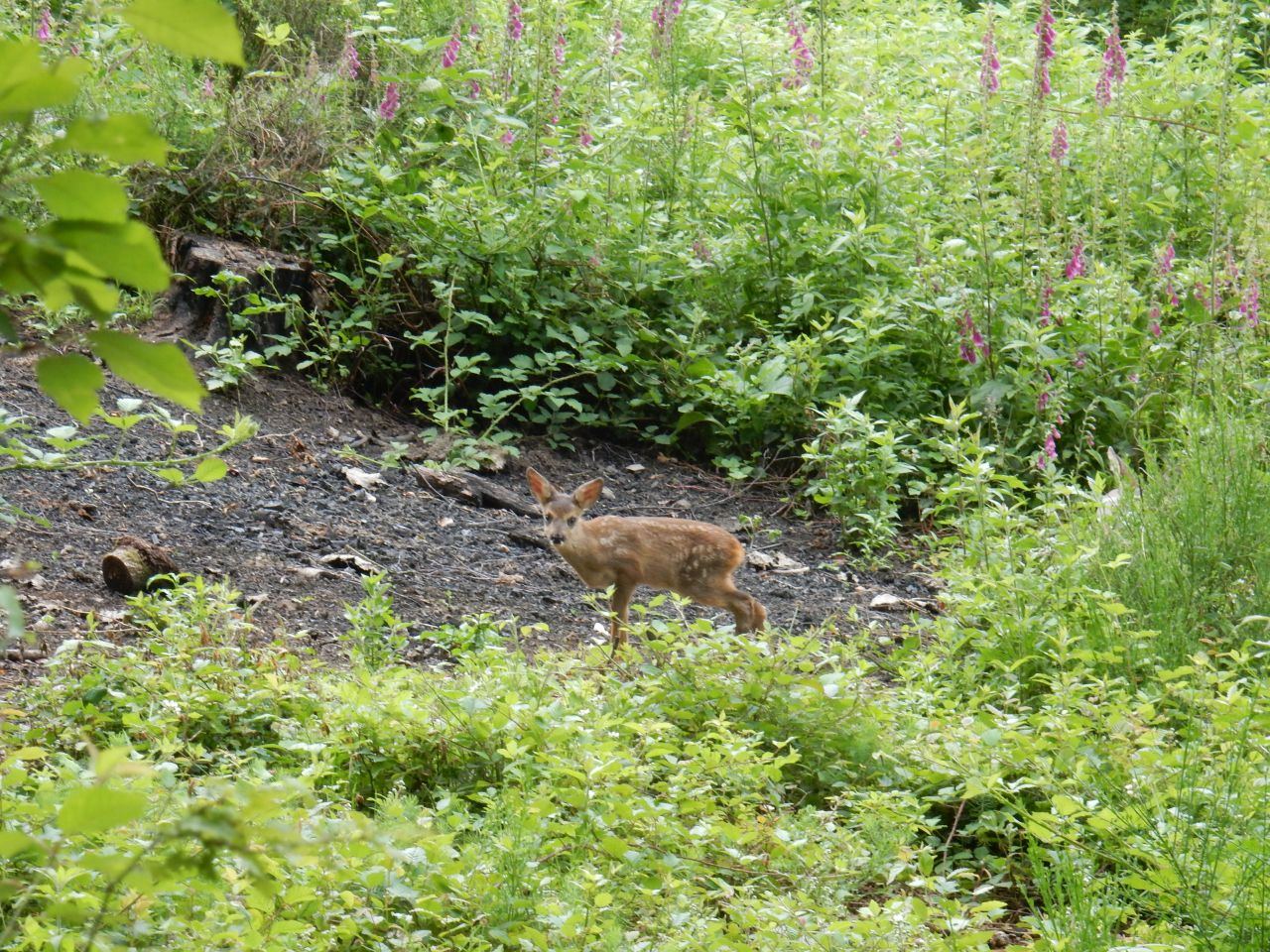
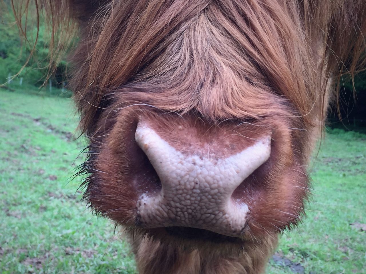
 30 Fotos (G Photo) Rehkitz, Kuh und MTB (2:09) 720p=1280x780 91Mo
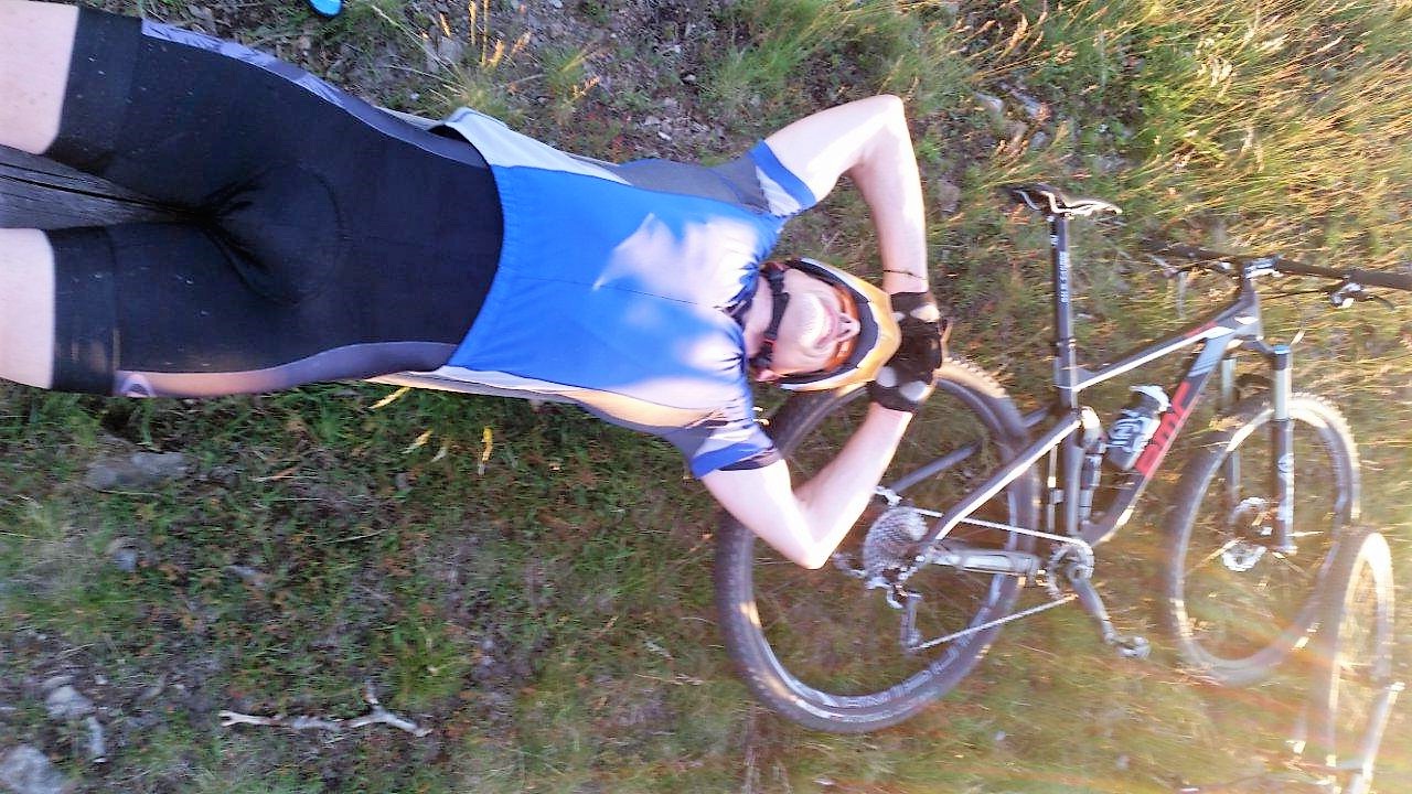
07/06/2018
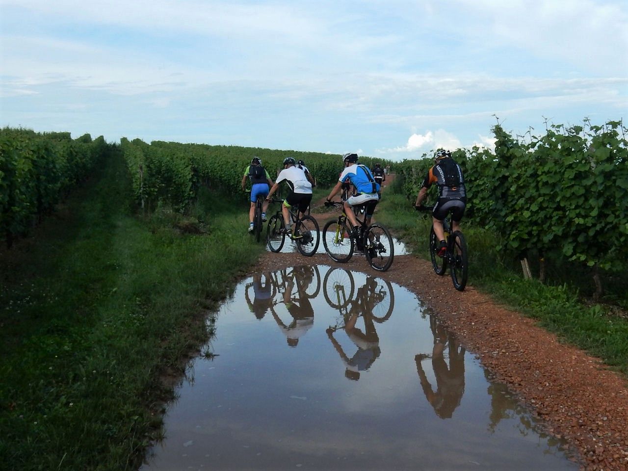
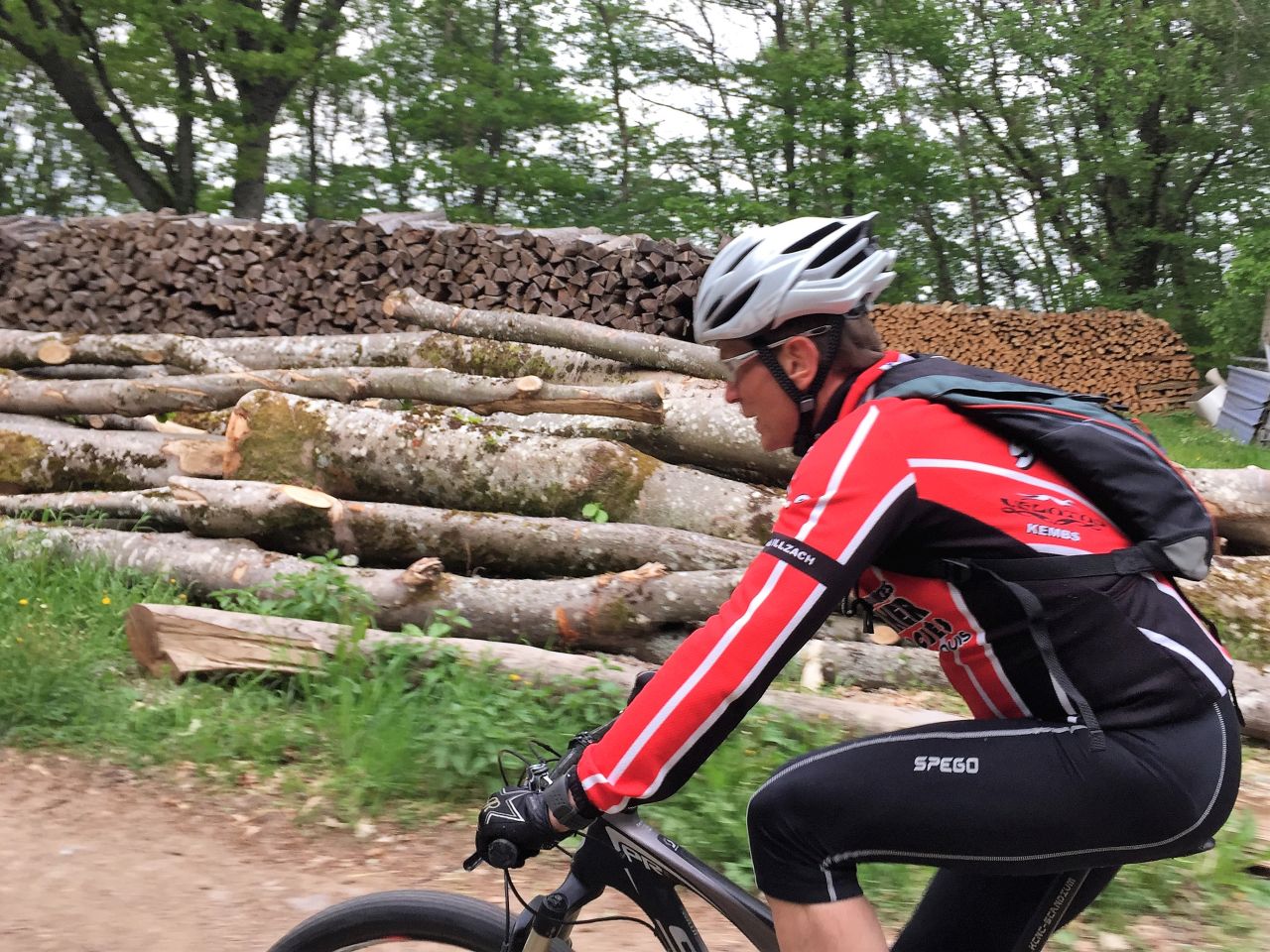
"300"
23-21°C26 km, 2h10 Hm 680 m
11 MTB (Christophe, Claude, Denis, Georges, Gilles, Jacques, Jean-Claude, Laurent, Michel, Thierry, Yves)
Guebwiller, Gauchmatt (menhir), Soultzmatt, ND Hubel, cerisier, Westhalten, Bollenberg, Bergholtz, Gueb
 38 Fotos (G Photo)
 31/05/2018
"Dreibannstein: Regen"
 24-16°C
16 km, 1h20 Hm 380 m
7 MTB (Christophe, Claude, Gilles, Jean-Claude, Jean-Luc, Thierry, Yves)
Guebwiller, abri des chasseurs, abri du Dreibannstein, Guebwiller
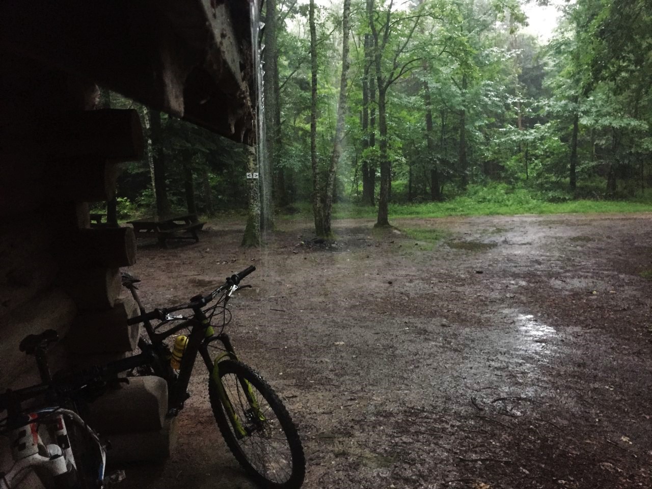
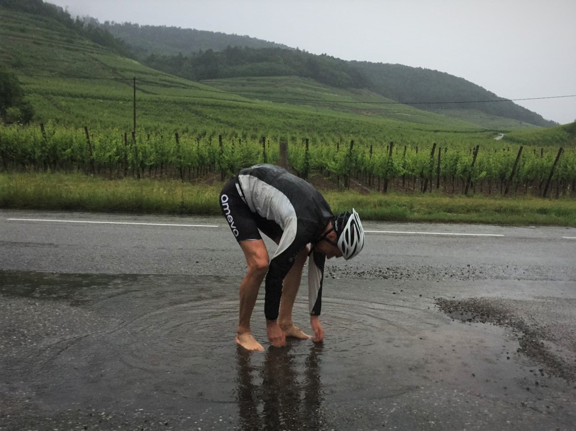 17 Fotos (G Photo) Video (30 sec)
Wetter
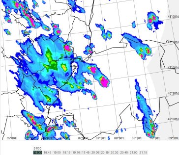 18h30
18h30 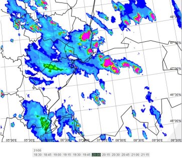
20h00
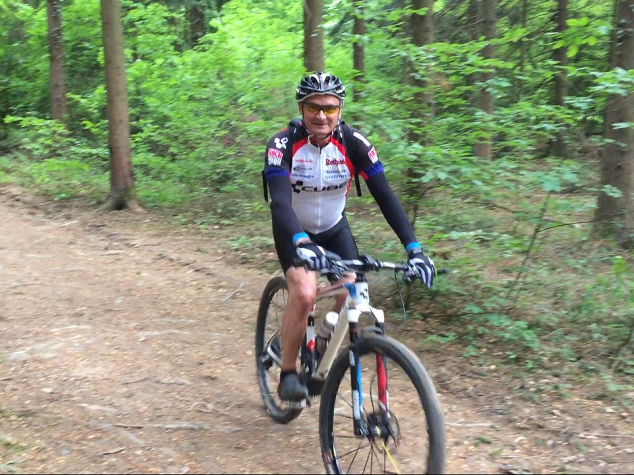
24/05/2018
"Geishouse"
 24-21°C
35 km Hm 740 m
10 MTB (Bernard, Claude, Daniel, Denis, Fred, Georges, Jean-Claude, Laurent, Thierry, Yves)
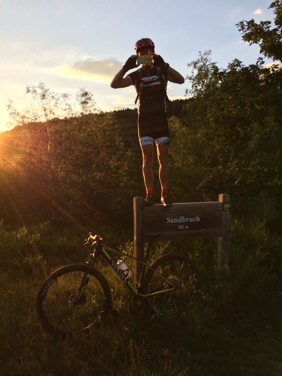
Thann, Bitschwiller, Willer-sur-Thur, Altenbach, Geishouse, Sandbruch (581m), Moosch, Willer, Thann
Fotos von Thierry


Fotos von Claude
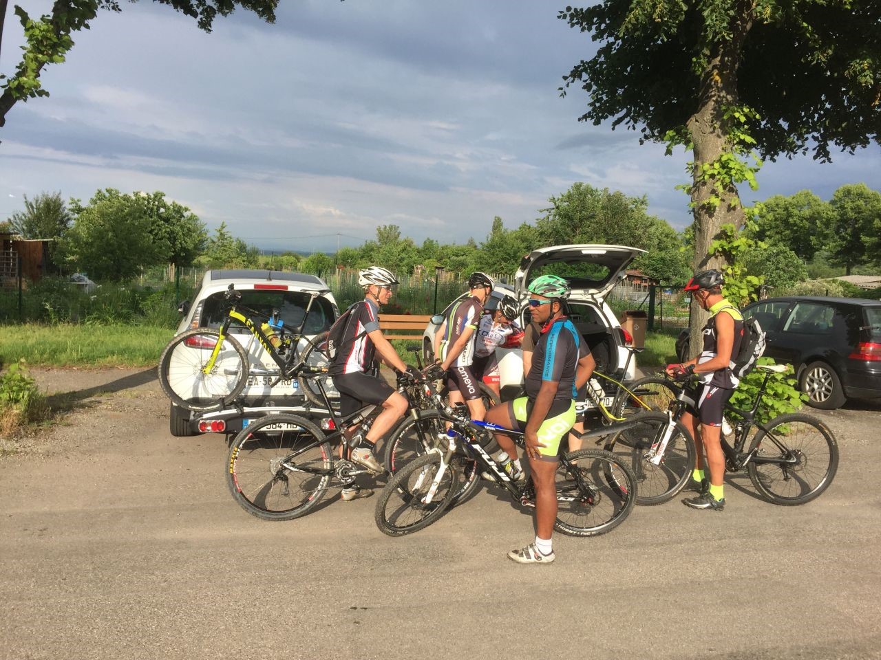
22 Fotos (G Photo) 03/05/2018
"Michelbach"
 14°C
14°C33 km, 2h20 Hm 780 m
5 MTB (Christophe, Claude, Denis, Gilles, Jean-Claude)
Schweighouse-Thann, Michelbach, Sentheim, Hochburg, Rammersmatt, Schweighouse-Thann

6 Fotos
17 Fotos (G Photo) Video (0:28)26/04/2018
"die Kanone von Zillisheim"
16°C28 km, 1h50 Hm 580 m
12 MTB (Bernard, Christophe, Claude, Denis, Eric, Georges, Gilles, Jean, Jean-Claude, Michel, Stephan, Thierry)
Waldeck, Flaxlanden, Zillisheim, Bruebach, Waldeck


 16 Fotos (G Photo)
 19/04/2018
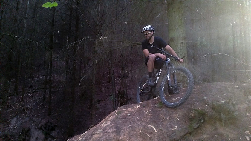
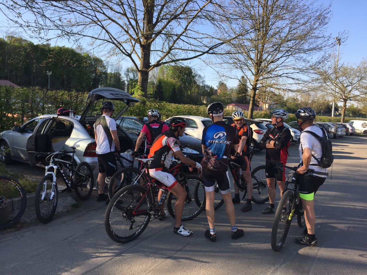
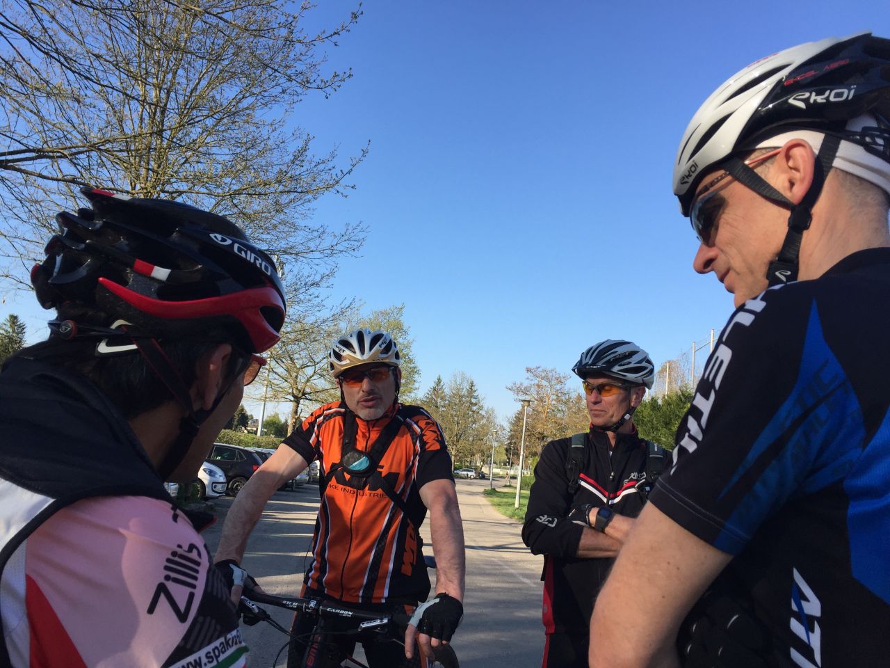
"Die erste Ausfahrt"
27-23°C25 km, 1h35 (Team) oder 32 km, 2h10 (Chris) Hm 400 m
11 MTB (Christophe, Claude, Denis, Eric, Gerald, Gilles, JB, Jean-Claude, Stephan, Thierry, Yves)
Waldeck, Bruebach, Habsheim (oder Rixheim für Christophe), ...
 be4.free.fr/jeudi/2018/index_de.htm
- 06/2018 - kch
be4.free.fr/jeudi/2018/index_de.htm
- 06/2018 - kch