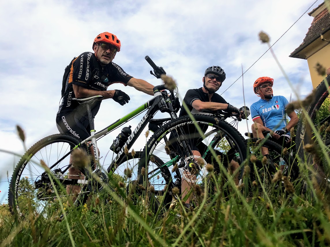
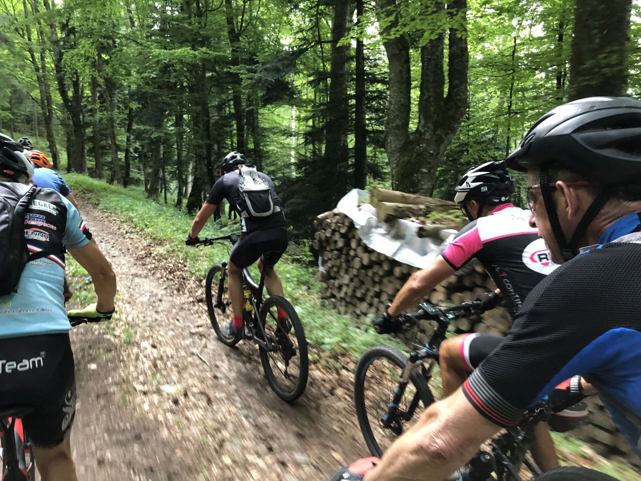
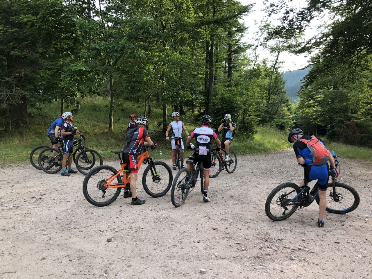
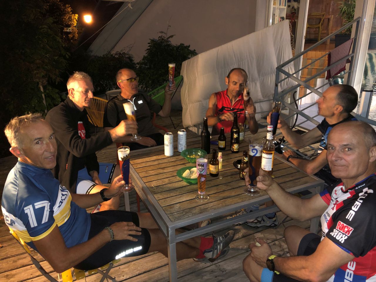
MTB 2019
with Jean, Michel, Claude, Thierry, Yves,
Eric, Christian, Christophe, ...
active units: miles km °C °F
September 05, 2019
"dernière"
 19-18°C 66-64°F
19 km 12 miles,2h00
Elev.Gain 500 m 1600 feet


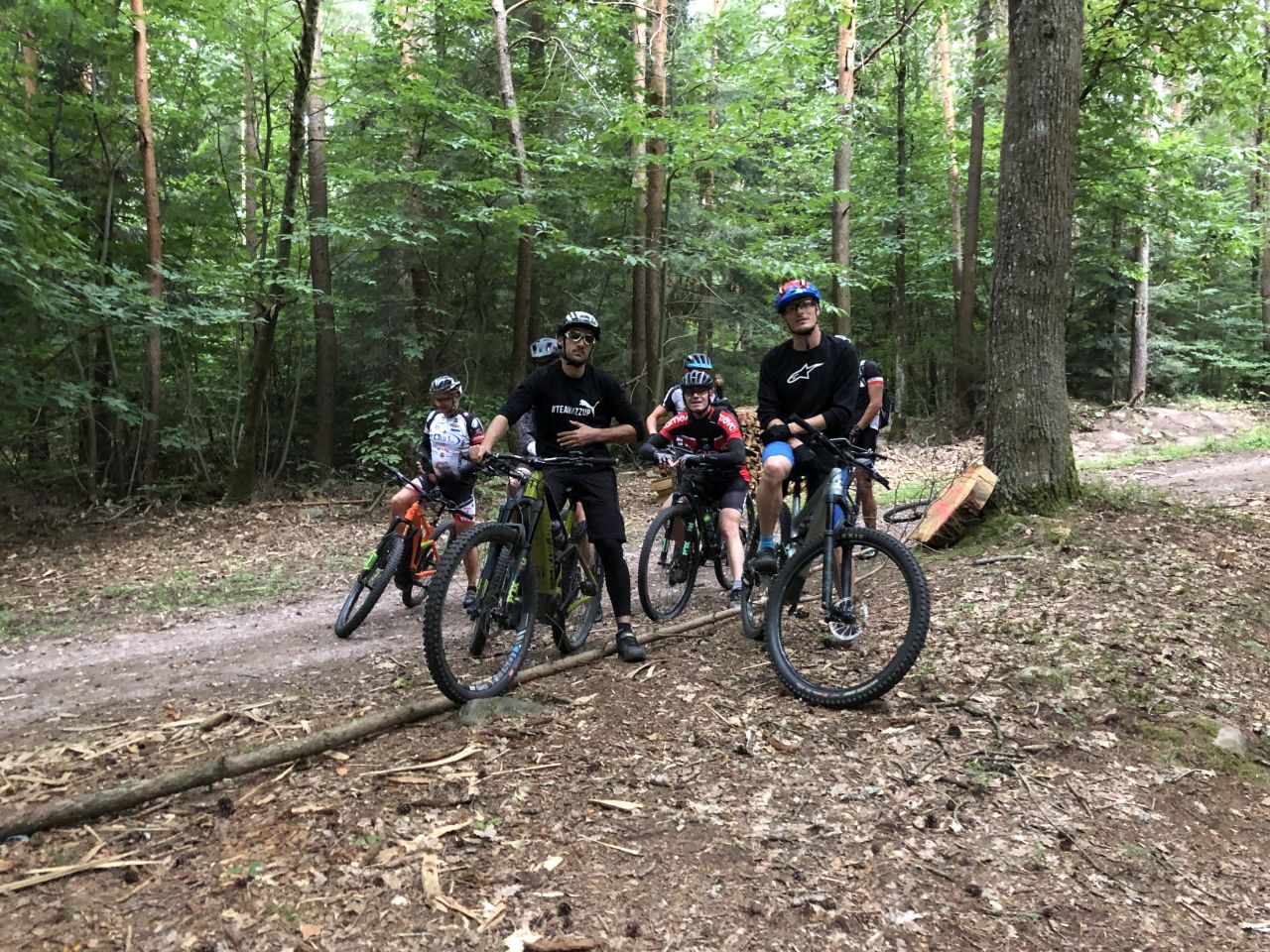
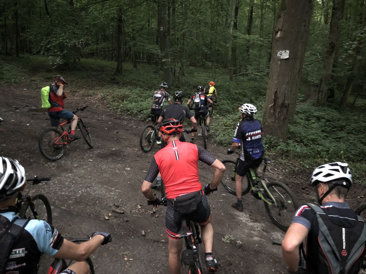
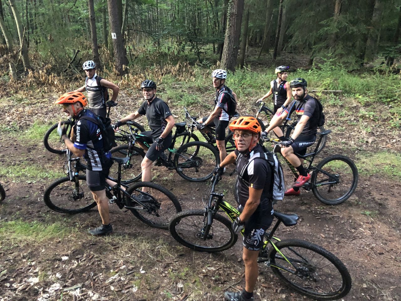
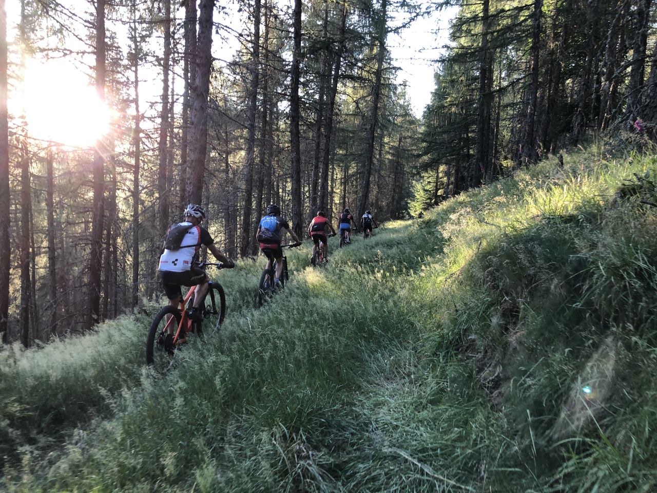
8 MTB (Christophe, Daniel, Jean-Claude, Julien, Laurent, Romuald, Thierry, Yves)
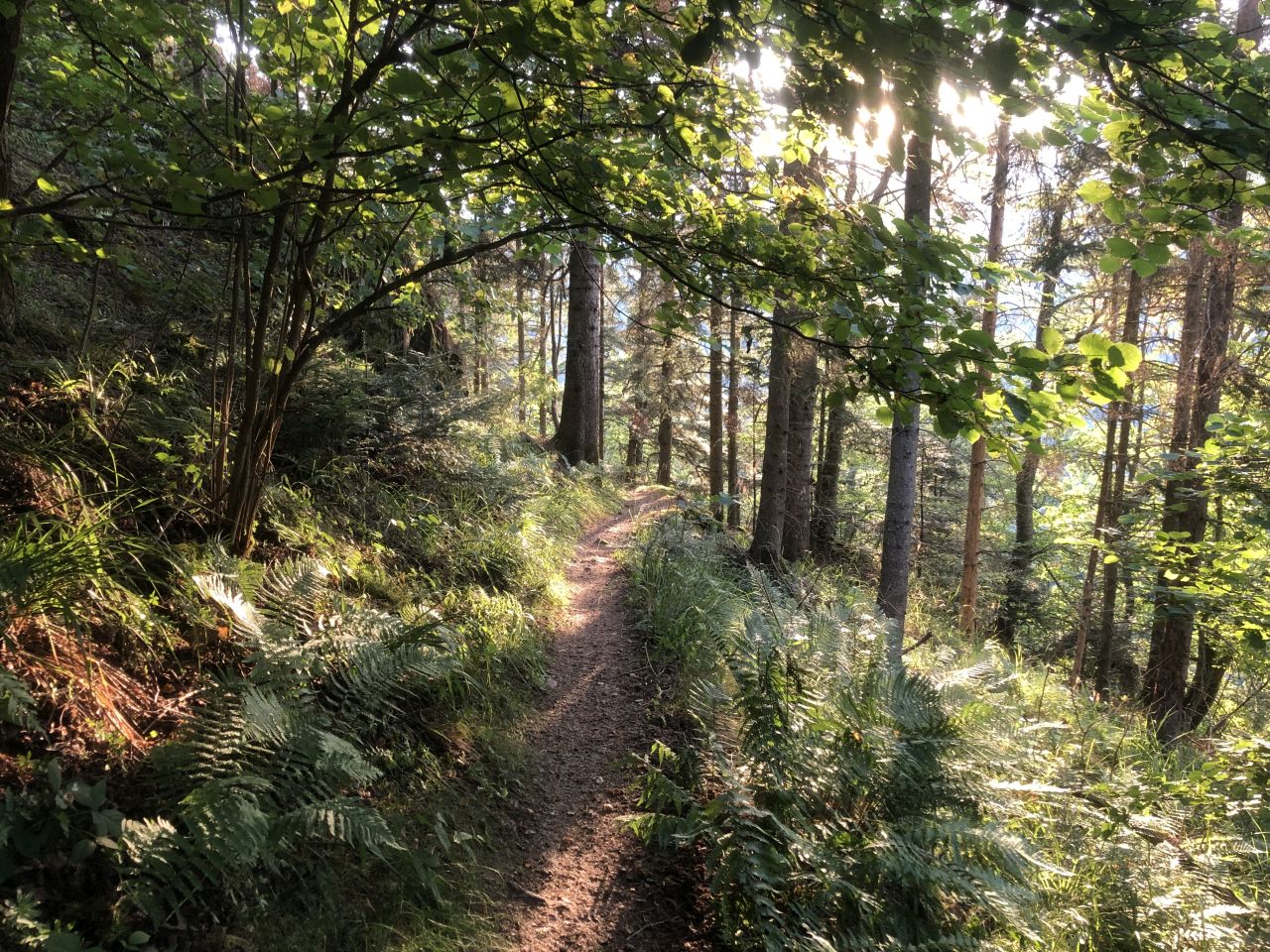
Buhl, Bannstein, Orschwihr, Guebwiller, Buhl
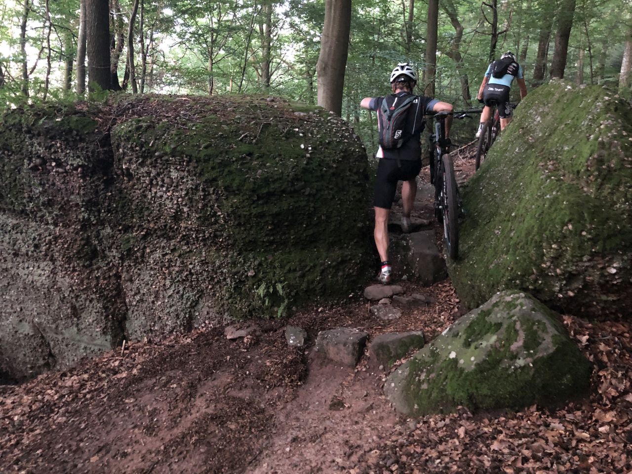
Very nice ride, but you have to have a good gear!
Romu had warned: Enduro light (safer than in x-country world cup!!!)...
and above all a new tour in Buhl
 13 pictures (G Photo)
 video (0:34)
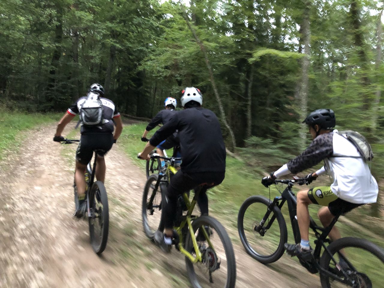
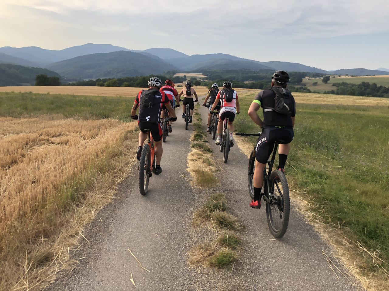
August 22, 2019
"un pont trop loin"
 23-21°C 73-70°F
41 km 25 miles, 2h30
Elev.Gain 200 m 650 feet
13 MTB (Bernard, Christophe, Claude, Denis, Fred, Georges, Gilles, Jean-Claude, Joel, Laurent, Patrick, Michel, Thierry)
Lutterbach, Reiningue, Heimsbrunn (chêne St Louis), Galfingue, Riedweiher, Morschwiller, Reiningue, Lutterbach
30 pictures (G Photo)
video (0:52)
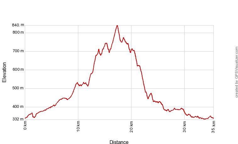
August 15, 2019
"Grand Ballon"
20-14°C 68-57°F
30 km 18 miles, 2h30
Elev.Gain 1100 m 3600 feet
2 MTB (Christophe, Jean-Claude)
Soultz, Col Amic, Grand-Ballon, Wuenheim, Soultz
17 pictures (G Photo)
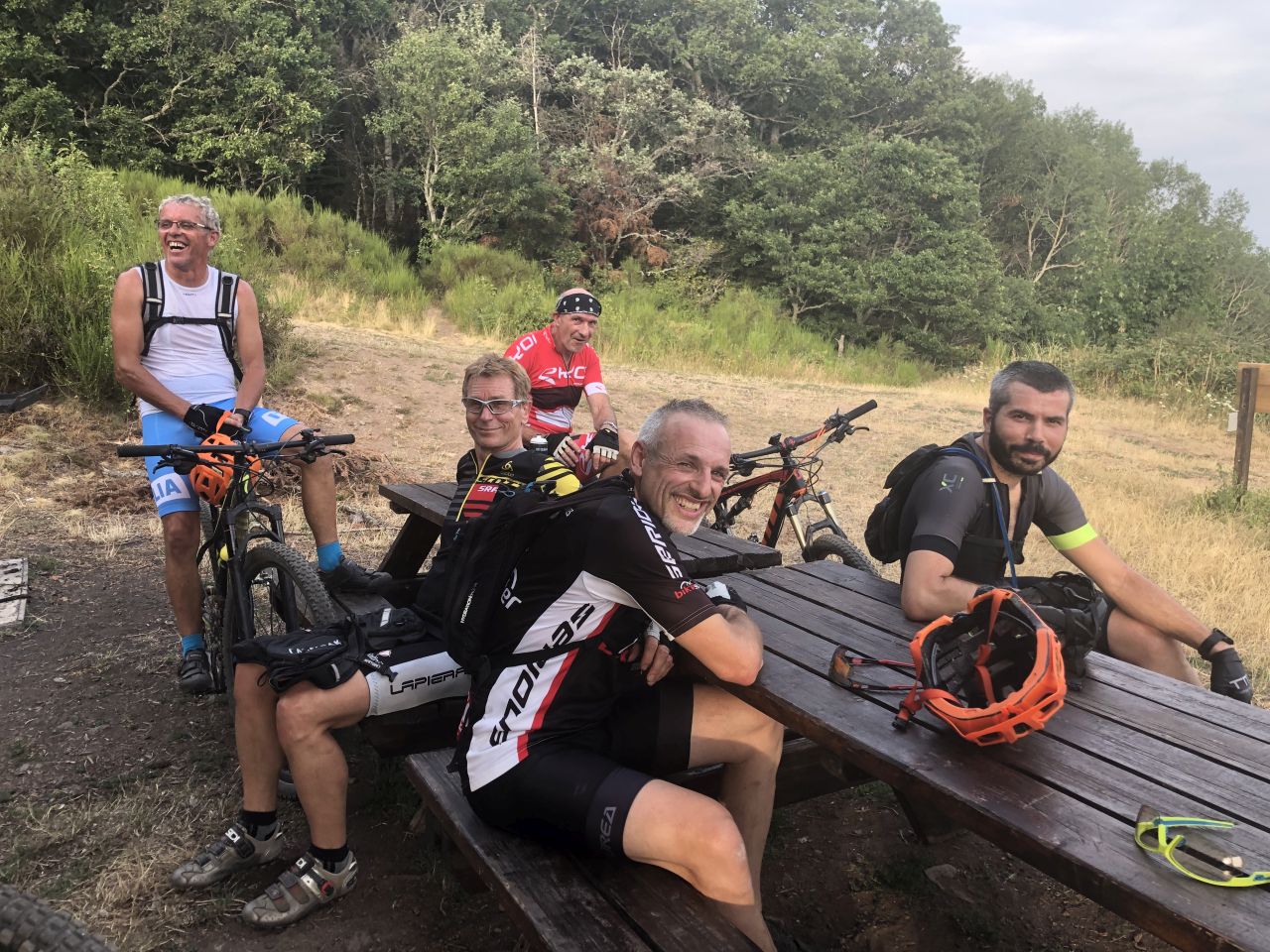
August 08, 2019
"meeting at the Schauenberg"
25°C 77°F
28 km 17 miles, 2h10
Elev.Gain 650 m 2100 feet
9 MTB (Christophe, Denis, Georges, Gilles, Jean, Laurent, Michel, Nicolas, Noémie)
Westhalten, ND de Schauenberg, couvent St Marc, Domaine de Truchsess, Schauenberg, Westhalten
30 pictures (G Photo)
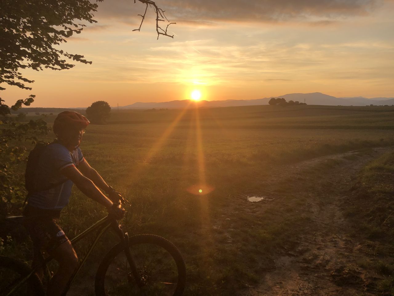
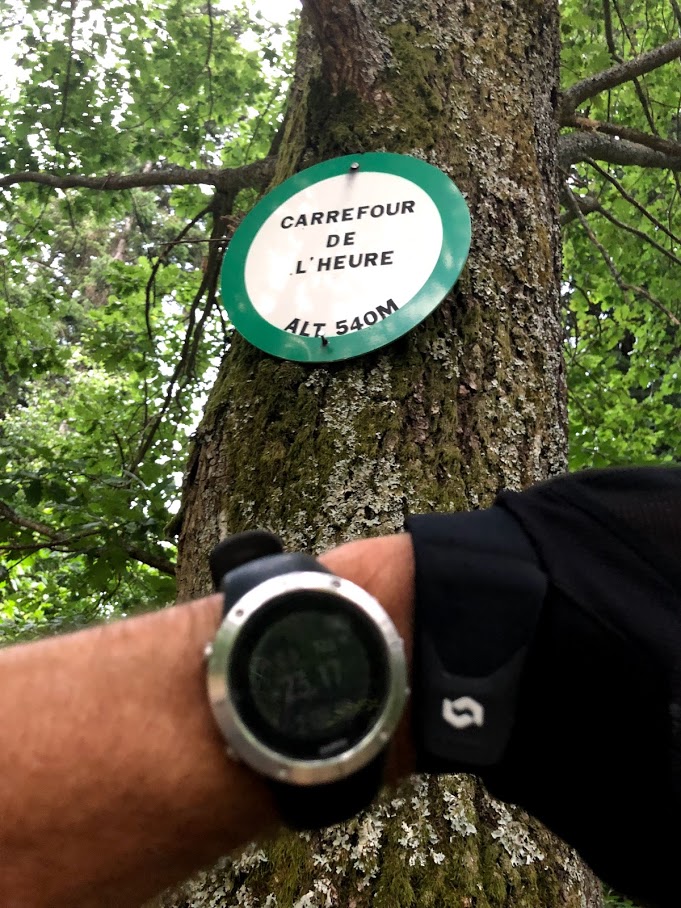
August 1st, 2019
"Sting or MTB?"
 25-22°C 77-72°F
30 km 18 miles, 2h30
Elev.Gain 750 m 2400 feet
12 MTB (Bernard, Christophe, Daniel, Denis, Eric, Georges, Gilles, Laurent, Michel, Patrick, Nathalie, Nicolas)
Hartmannswiller, Wuenheim, Nez de Soultz, Heidenbuckel, Peternit, Rimbach, Rimbachzell, Ste-Anne, carrefour de l'Heure, Jungholtz, Wuenheim, Hartmannswiller
23 pictures (G Photo)
video (0:59)
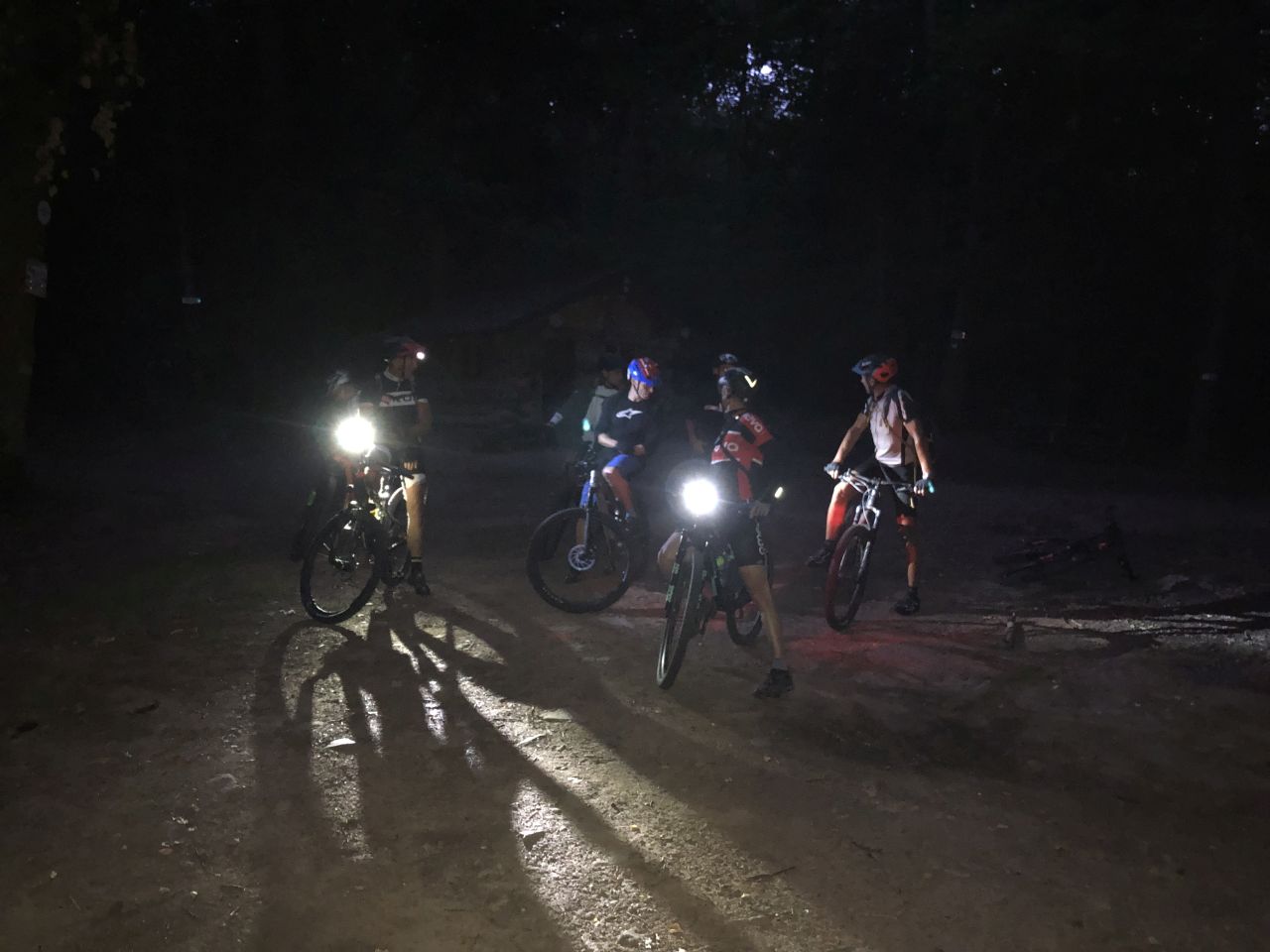
July 25, 2019
"37°C = 98°F"
37-30°C 98-86°F
35 km 22 miles, 3h
Elev.Gain 500 m 1600 feet

9 MTB (Bernard, Christophe, Denis, Georges, Gilles, Jean, Jean-Claude, Michel, Nicolas)
Schweighouse-Thann, Michelbach, Rammersmatt, Weierle, col du Hundsruck, Leimbach, ... Schweighouse-Thann
34 pictures (G Photo)
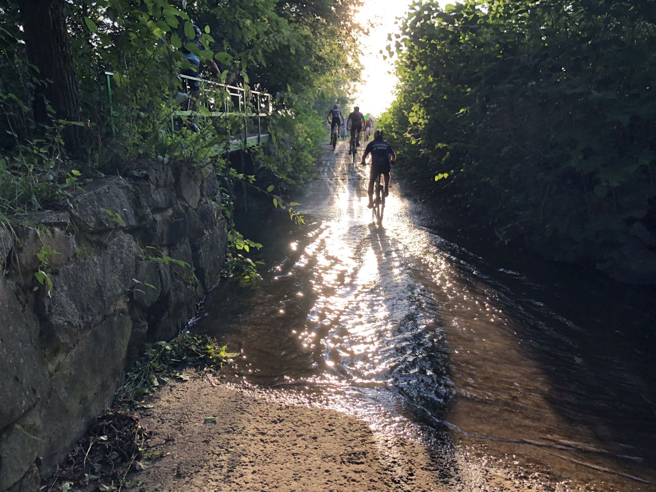
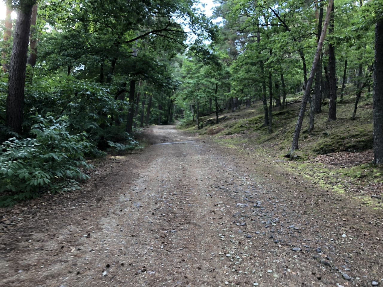
July 18, 2019
"Bickenberg (Vallée Noble)"
29-25°C 84-77°F
31 km 18 miles, 2h40
Elev.Gain 750 m 2500 feet
9 MTB (Christophe, Denis, Dominique, Eric, Georges, Jean-Claude, Michel, Pascal, Thierry)
Gueb, Bannstein, Plaine de Rouffach, Firstplan (722m), Borne Jaune, Wolfsgrube, Osenbach, Bannstein, Guebwiller
 Bickenberg
24 pictures (G Photo)
video (0:49)
July 11, 2019
"Tour de France"
20-17°C 68-63°F
20 km 12 miles, 3h?
Elev.Gain 600 m 2000 feet
6 MTB (Christophe, Claude, Jean, Jean-Claude, Michel, Thierry)
Thann, Plan Diebold, Col du Hundsruck, Thannerhubel, Bitschwiller, Thann.
30 pictures (G Photo)
video (0:34)
July 4, 2019
"secret paths of Geishouse"
29-22°C 84-71°F
35 km 22 miles, 3h20
Elev.Gain 700 m 2300 feet
7 MTB (Christophe, Claude, Jean-Claude, Michel, Philippe, Thierry, Yves)
Thann, Bitschwiller, Willer, Geishouse, Moosch, Willer, Thann.
27 pictures (G Photo)
 and before ?