

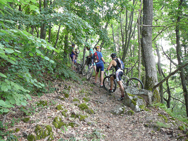
August 6, 2009
adventure "à la carte"
 30-22°C 86-71°F
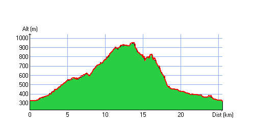
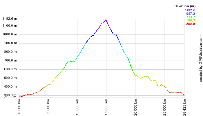
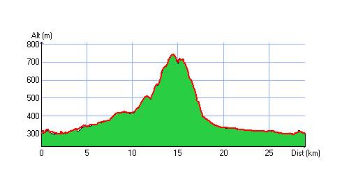
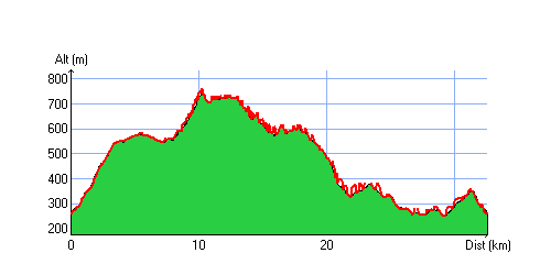
26 km 16 miles, 2h10 Elev.Gain 900m 2900 feet

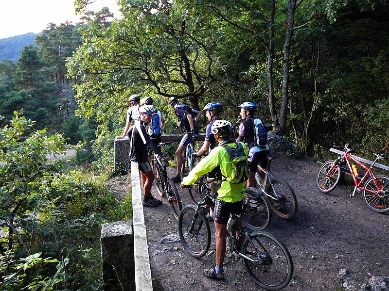
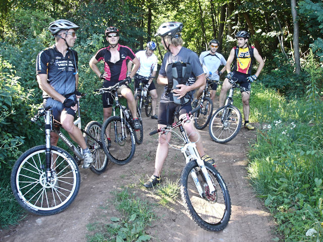
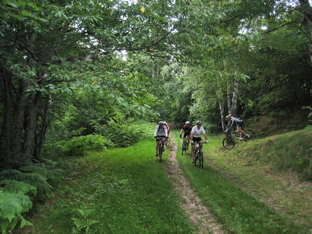
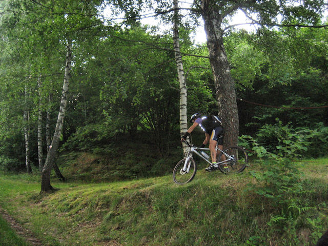
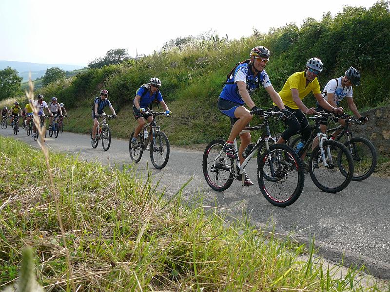
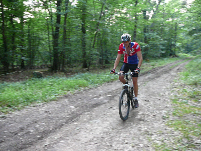
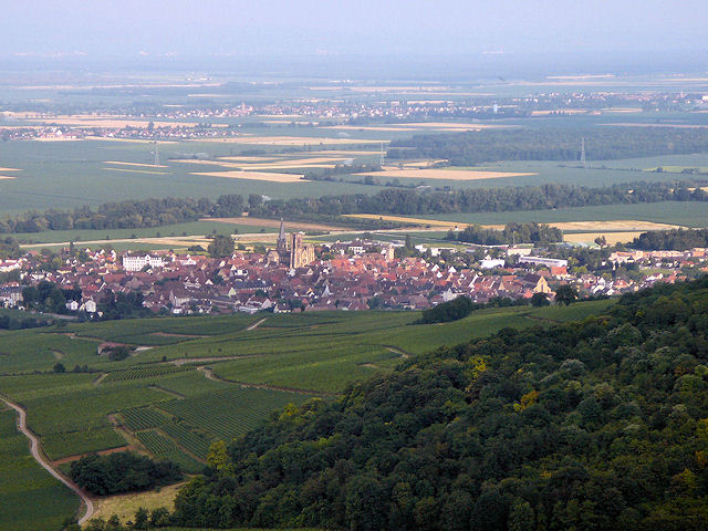
6 MTB (Christophe, Hervé, Thierry, Fabien, Gilles and Michel)
 Appointment at 6:30PM in Guebwiller
Murbach - Pont-St-Barnabé - col de Schrangen - col du Wolfsgrube (672m/2200feet) - Lieserwasen (900m/2950feet) - holiday camp from Gustiberg (950m/3100feet) - Sengern - Lautenbachzell - Lautenbach - Schweighouse - Buhl
 Scott |
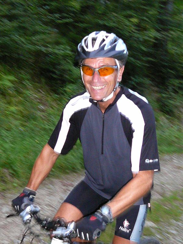 Gilles |
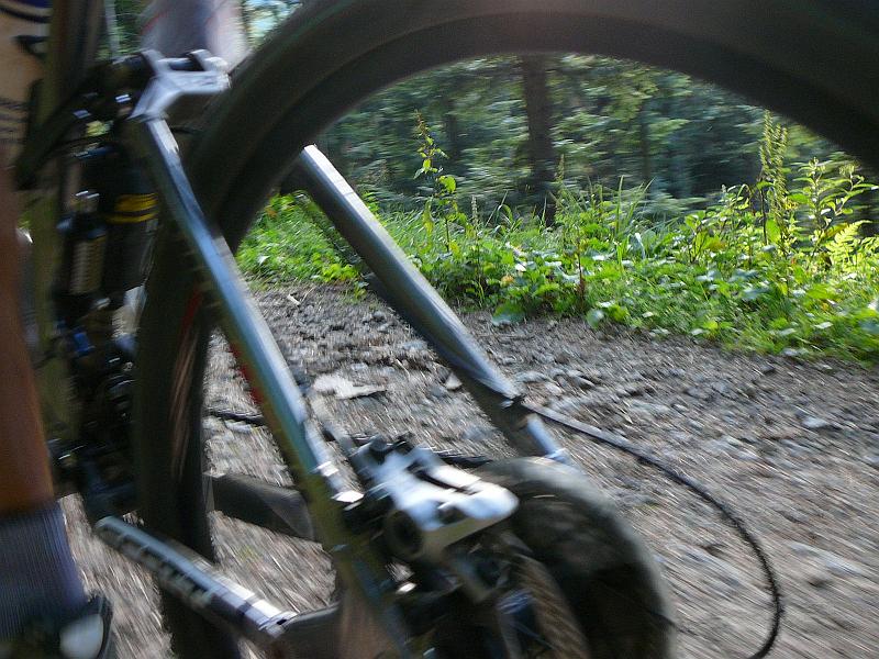
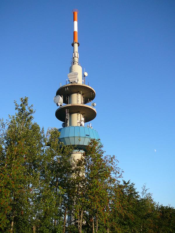
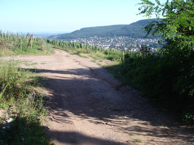
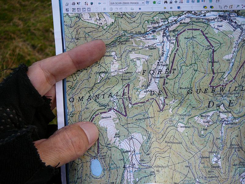 map |
 fir |
 24 pictures (indexB)
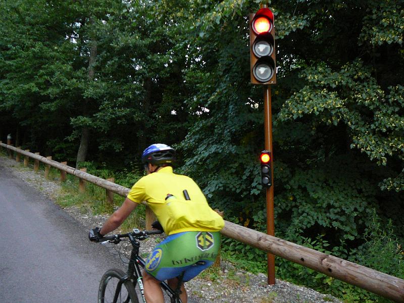
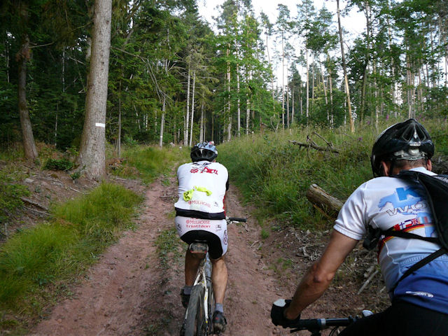
 July 30, 2009
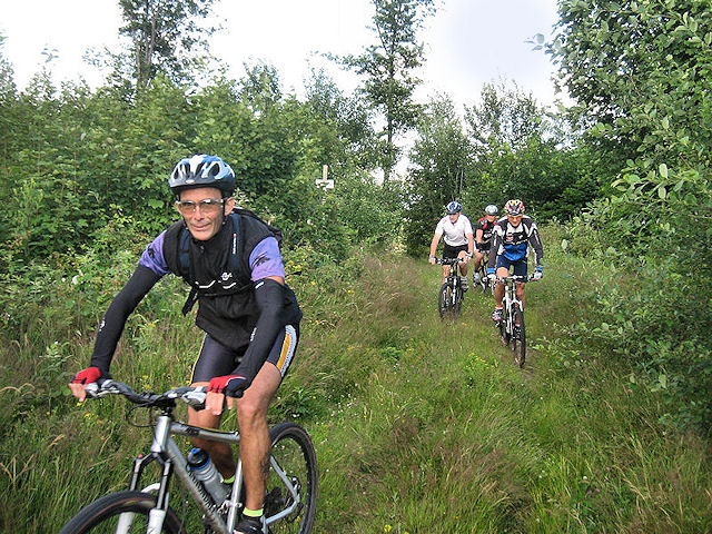
"Black Forest #2"
23-20°C 73-68°F30 km 18 miles, 2h15 880m 2900 feet
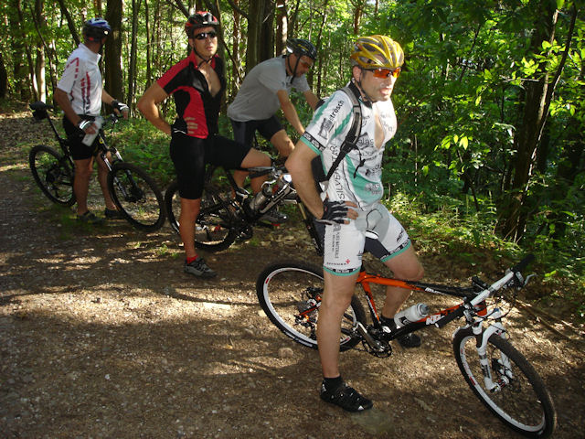
8 MTB (Yves, Franck, Claude, Fabien, Gilles, Hervé, Bernard, Christophe)
Appointment at 6:30PM in Müllheim (Germany)Oberweiler - Badenweiler - Hochblauen 1165m) - Sophienruhe 535m) - Sehringen - Niederweiler - Müllheim
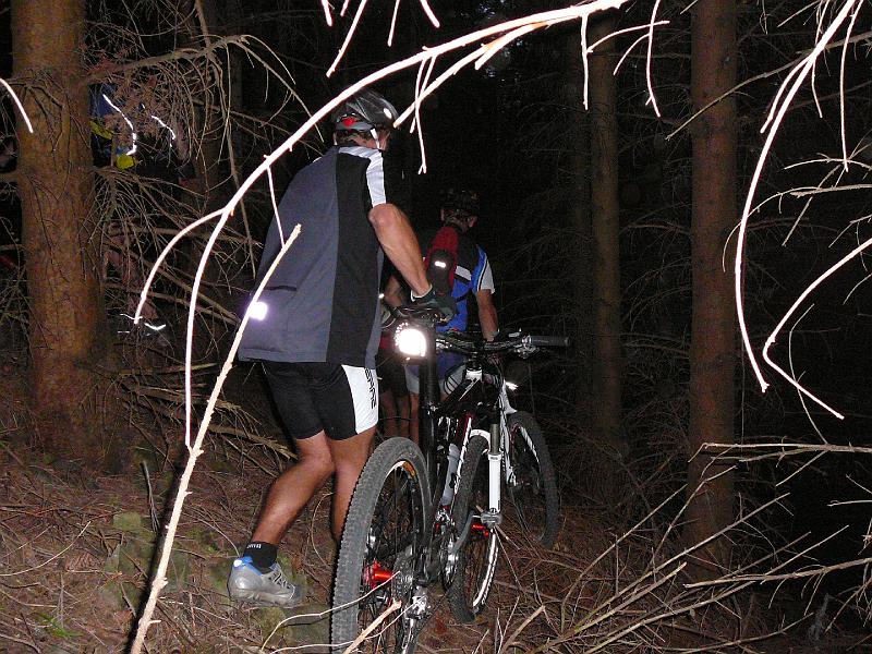
9:40 PM
 |
 |
 |
 |
34 pictures (indexB) July 23, 2009
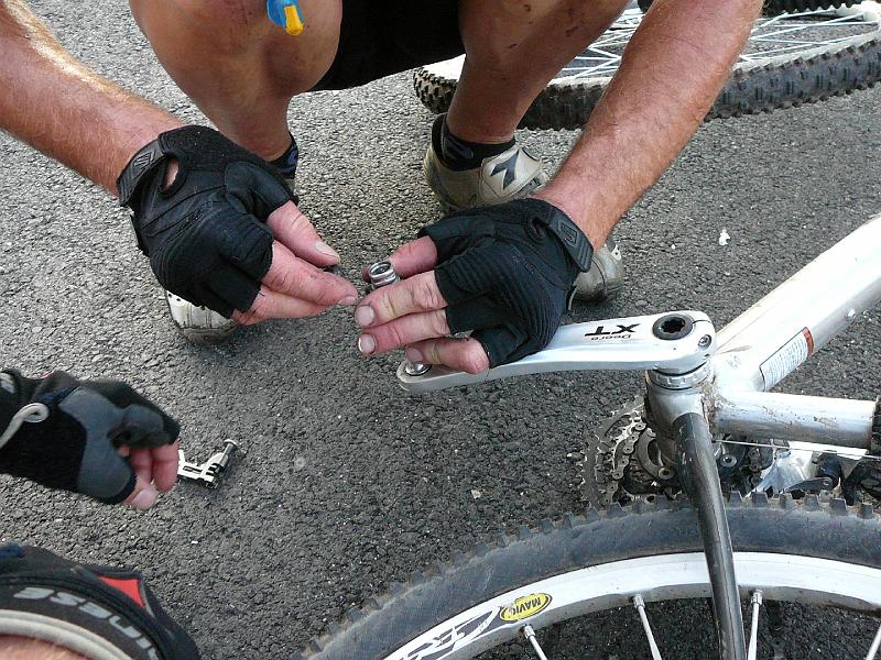
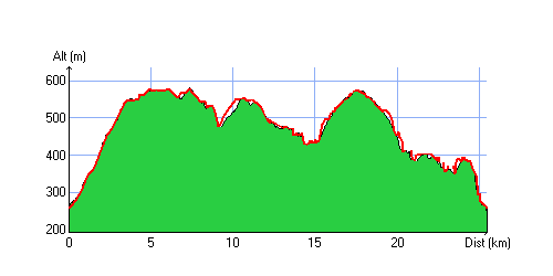
"Michelbach"
 21°C 70°F
32 km 20 miles, 2h Elev.Gain 670m 2200 feet
9 MTB (Yves, Michel, Franck, Thierry M, Fabien, Gérald, Maxime, Anthony, Christophe)
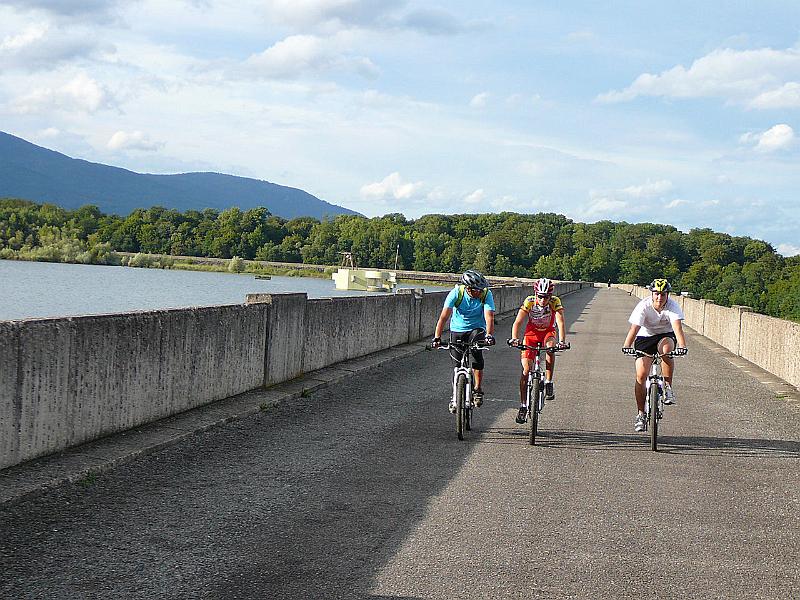
Appointment at 6:30PM in Schweighouse-Thann.Start will be at 18h50: the rain finally stops!
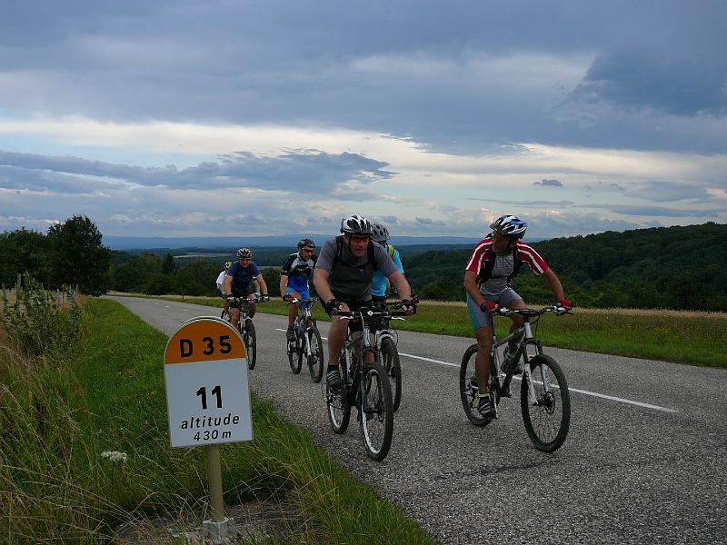
Direction Aspach-le-Bas - Michelbach's dam - we are going along the lake, then the forest in direction Bourbach-le-Bas. 700m (0.4 miles) on the street (D35), then left to go to Rammersmatt.
We don't go in the great "défilé" but go directly to the Hochburg (near the col de Hundsrucken)
We don't spend too much time to admire the landscape because the wind is too strong!!
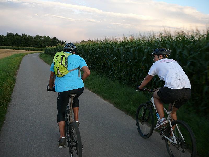
The small trail which leads to the shelter bellow the Klingenfelsenkopf is extra. There, we put on jackets for the descent. Teufelsgrund (Baumann's trail) ... arrival near a little lake in Thann.
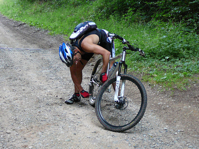
... Maxime has problems with his derailleur, so the last 3 bikers will do the last part alone. Don't worry, it's easy: cycling track, to go at Aspach-le-Haut, then Aspach-le-Bas. One mile more and we are back to Schweighouse-Thann
9:10 PM
 |
 |
 |
 |
24 pictures (indexB) 
- 3 short sequences
 Youtube (0:50)
- Denis could not come!! snif
- weather forecast not terrible, but it will be ok
- next trip: Forêt Noire (black forest)!!?
July 16, 2009
"still on holidays!!"
30°C 86°F9 MTB (Yves, Christophe, Julien, Bernard, Thierry M, Denis, Sébastien, Stéphane, Alain)
Appointment at 6:30PM in Guebwiller Yves sends the invitation !
What's the way ? a part from tour de France??
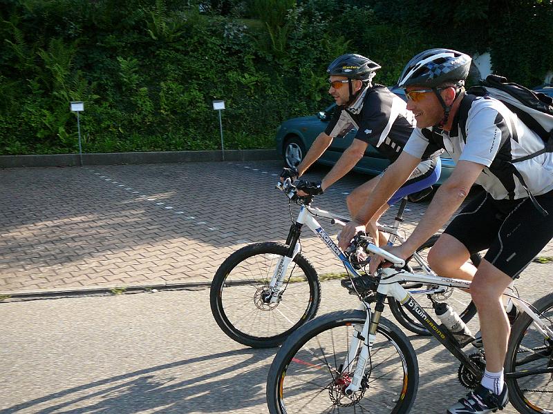
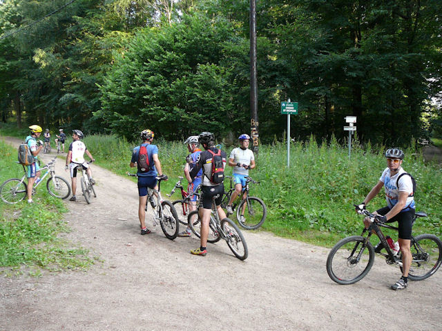
 group |
 path |
 hot |
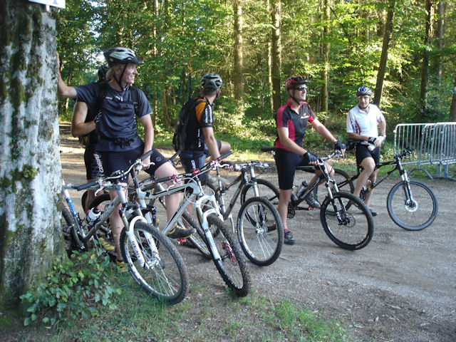 group |
- pictures by Christophe... thanks!
July 9, 2009
"near Goldbach"
cold weather for the season, but no rain38 km 23 miles in 2h15 Elev.Gain 750m 2400 feet
10 MTB (Michel, Yves, Franck, Bernard, Gilles, Thierry M, Denis, Stéphane, Fabien, Claude)
Appointment at 6:30PM in Vieux-ThannWiller-sur-Thur, Wissbach, Goldbach, Altenbachrunz, Altenbach, Niedereck on the heights from Geishouse where Denis and Stéphane leave us to go on the Haag and then Soultz.
We descend towards Moosch during 3 km (1.8 miles), go back to Geishouse to reach the cemetery. ... Beautify descent on Saint-Amarin and return via the bike path.
 group |
 F B G M |
 F |
 Geishouse |
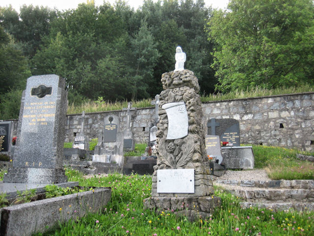 grave |
 in Egypt |
- summary and pictures by Claude.
- everything published from Egypt where Christophe is on holiday !!!
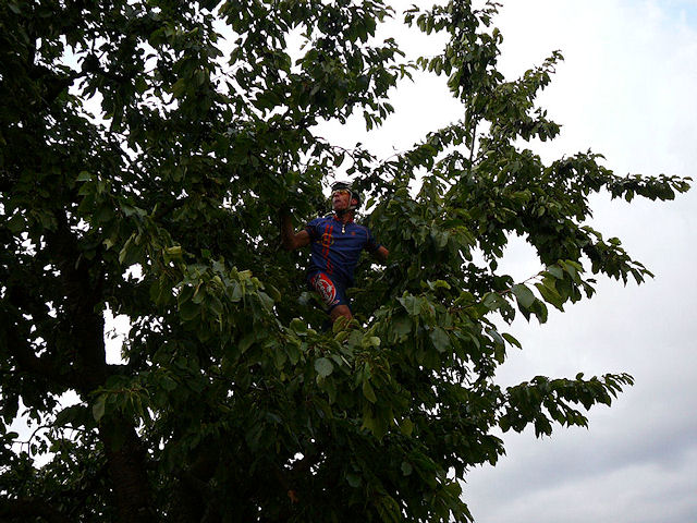
July 2, 2009
"Hohlandsbourg Tour 09"
29-24°C 84-75°F33 km 20 miles in 2h20 Elev.Gain 1000m 3280 feet
18 MTB (Michel, Jean, Julien, Vincent, Bara, Gérald, Fabien, Claude, Jean-Claude, Jean-Luc, Franck, Stéphane, Serge, André, Gilles, 2 Christophe, Paolo)
Appointment at 6:30PM in Westhalten (near the donkey)Huge disaster before the departure ....
ND du Hubel, Heiliger Baum, Osenbuhr, col de Marbach
Christophe breaks his chain, but with the help of Paolo everything go fine.
.... break at Stauffenmatt
After what it's only pleasure, the lanscape is beautiful between the Turenne's rock and the Hohlandsbourg's castel (2030 feet)
20h20Stéphane tries to repair his pedal, but it will be out just after!!
In the forest, we use a nice path near the 3 Chateaux from Eguisheim. Husseren-les-Chateaux - Voegtlinshoffen - Gueberschwihr - Pfaffenheim - last climb to the cherry and the car park at Westhalten
9:20 PM
 |
 |
 |
 |
29 pictures (indexB) - movie from Julien (the turn Art)
Youtube- weather ok: the storms have started just before.
June 25, 2009
"Schauenberg"
25-22°C 77-72°F26 km 16 miles in 1h50 or 32 km 20 miles in 2h15 Elev.Gain 850m 2800 feet
13 MTB (Michel, Yves, Christian, Paolo, Jean, Julien, Jean-Claude, Thierry, Claude, Franck, Sébastien, 2 Christophe)
Appointment at 6:30PM in Westhalten (at the church)Notre Dame de Schauenberg (and convent St Marc for the 2nd group)
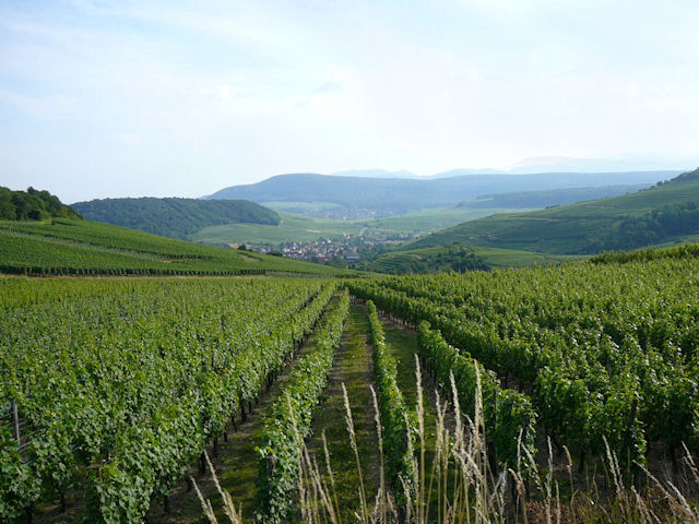 vineyard 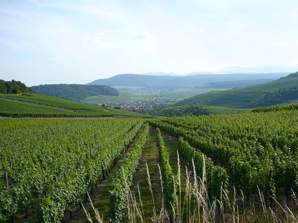 |
 group 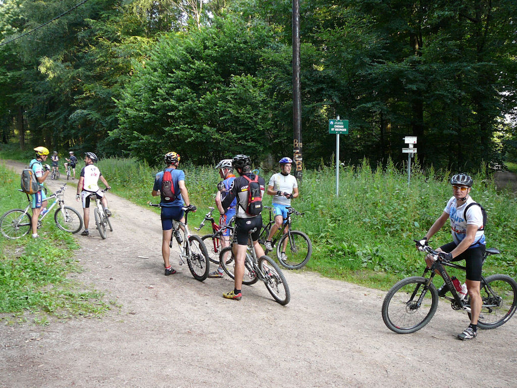 |
 limit  |
 Christophe Jean 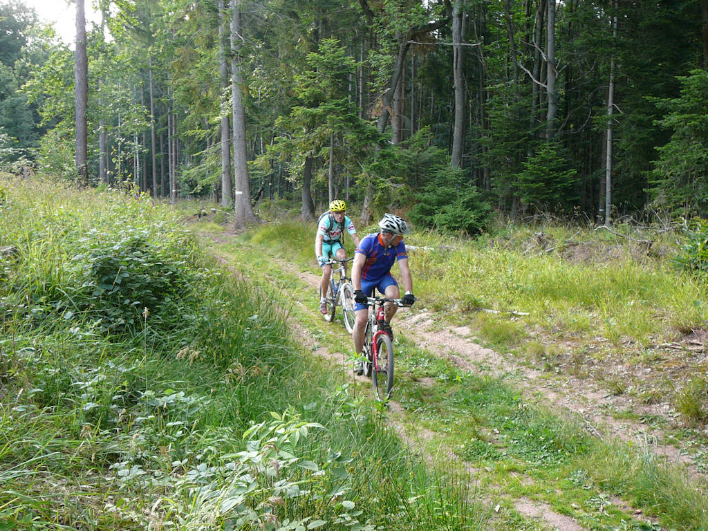 |
 downhill 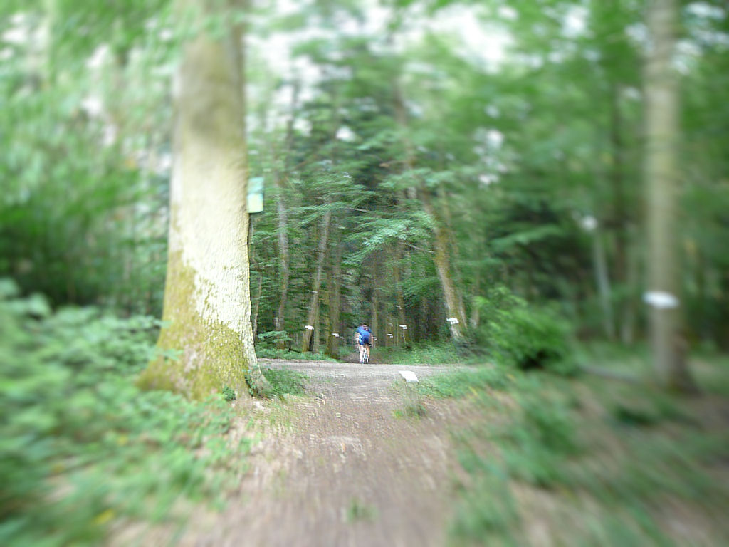 |
 Franck 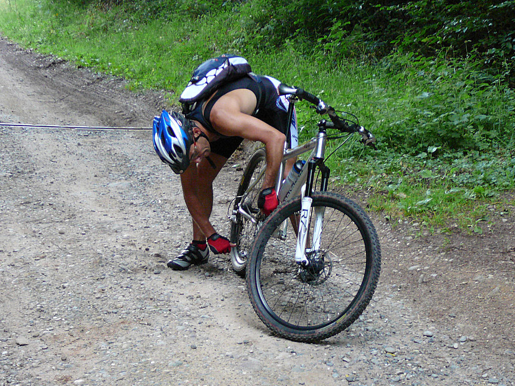 |
 Thierry  |
 rise 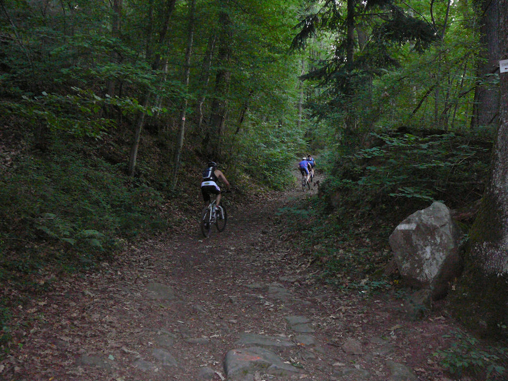 |
 Rouffach 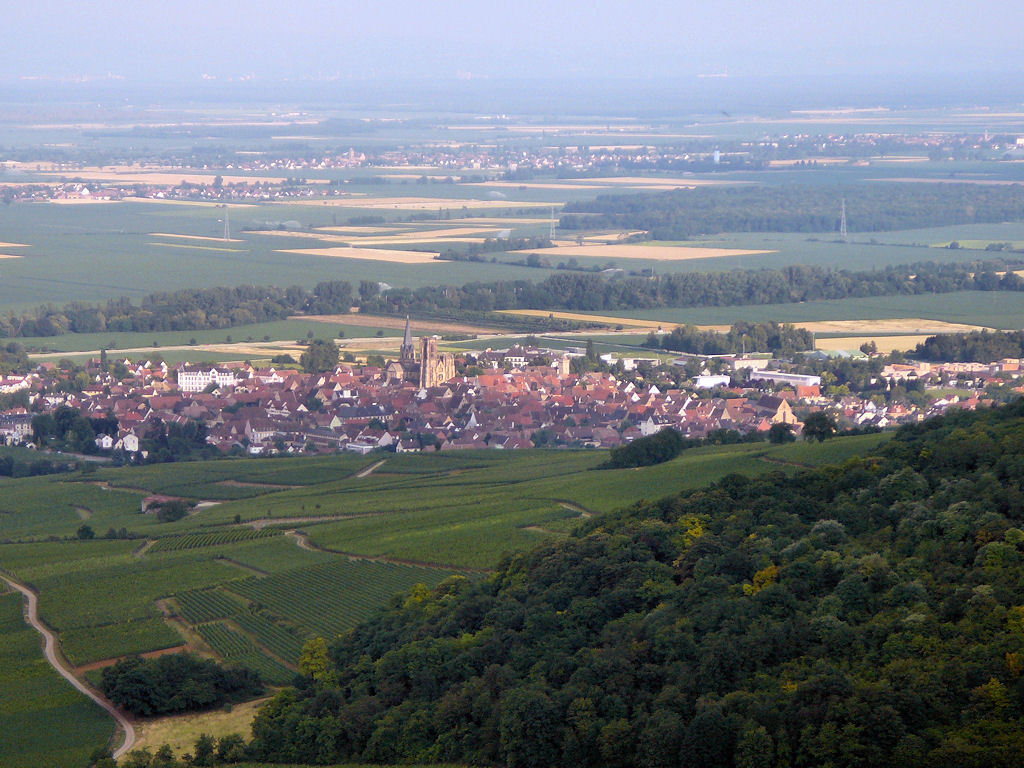 |
 steep  |
 ant and fern 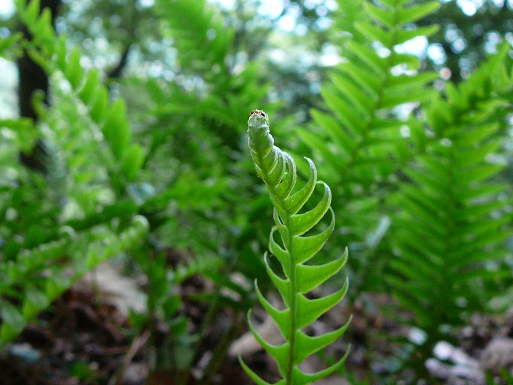 |
 nature 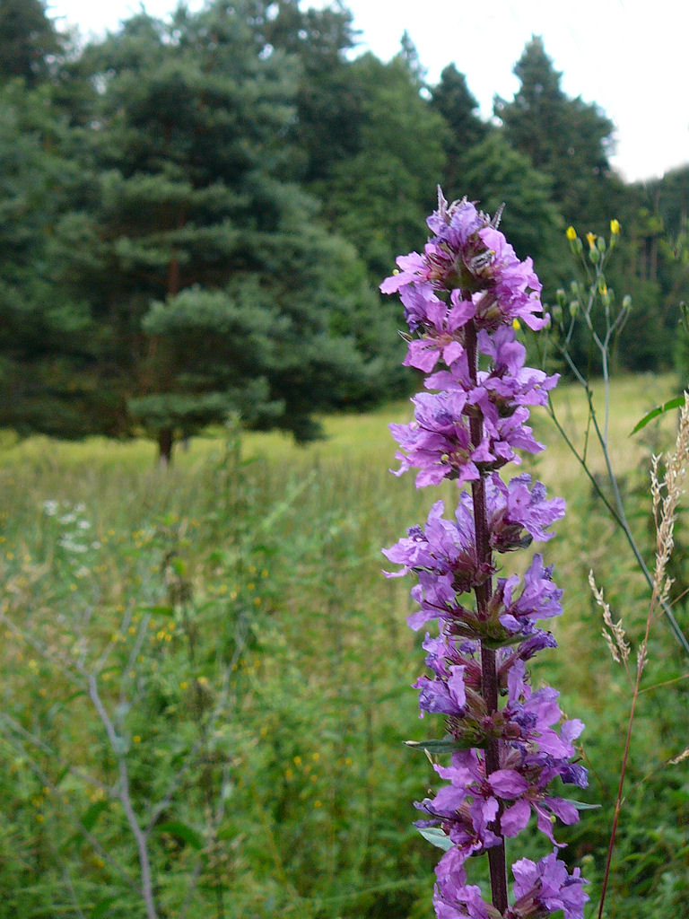 |
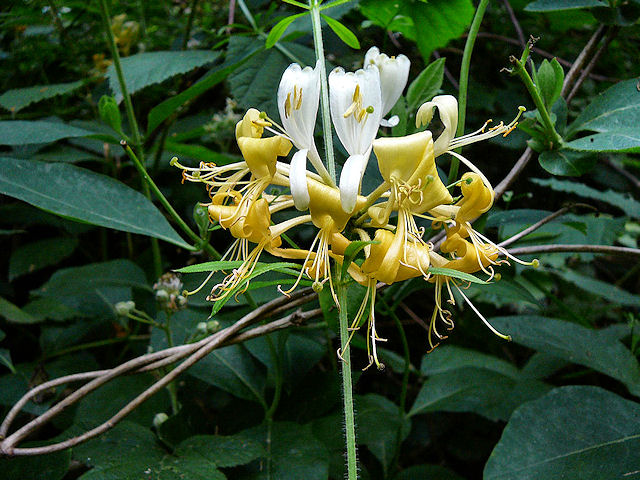 honeysuckle 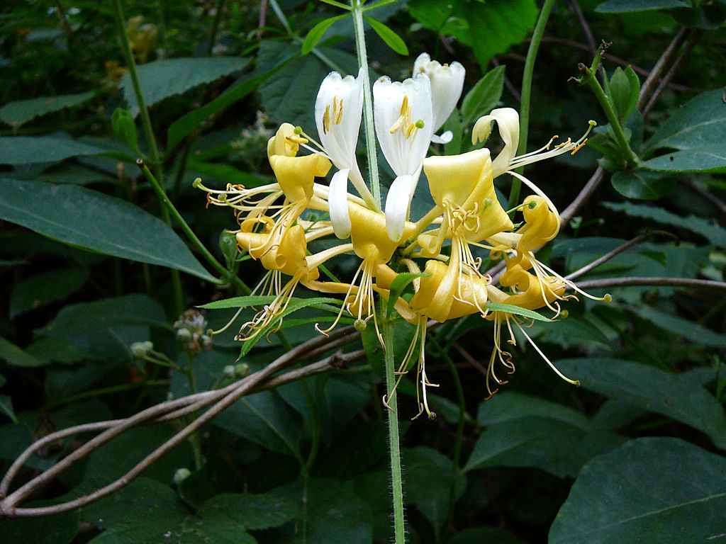 |
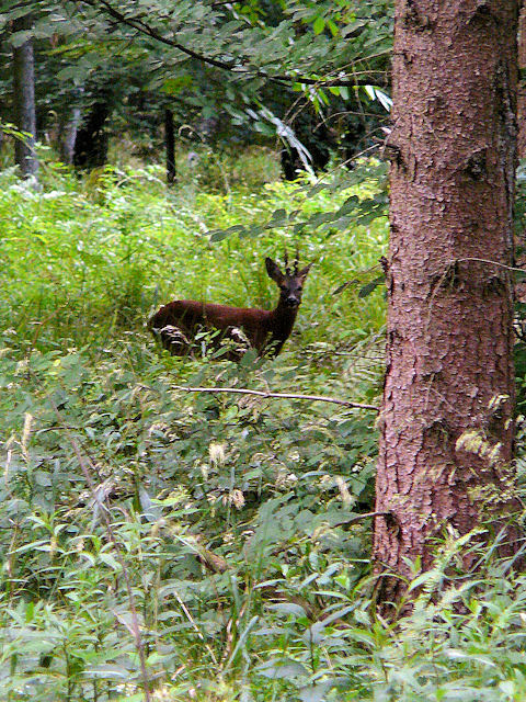 deer  |
 Schauenberg 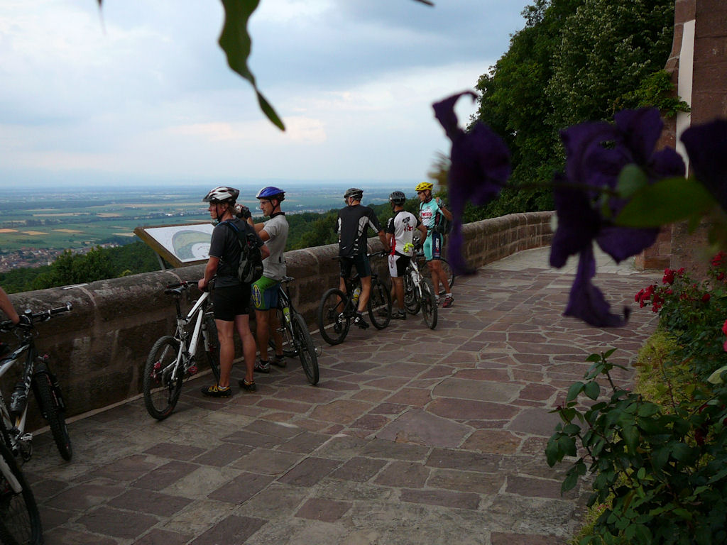 |
 Michel Jean 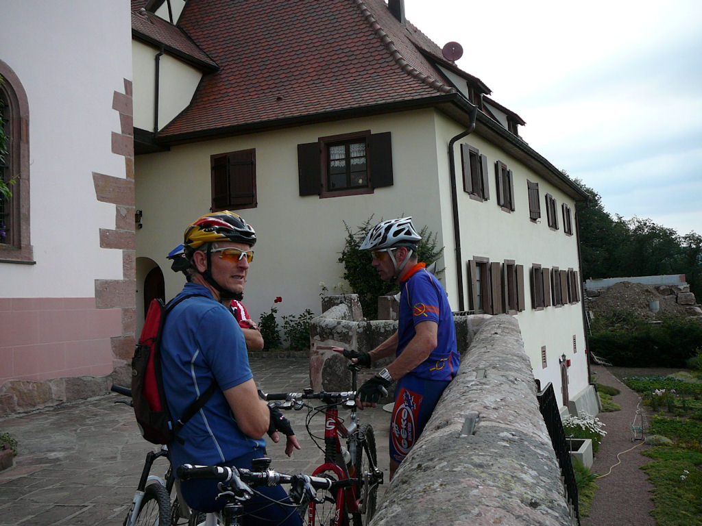 |
 cherry 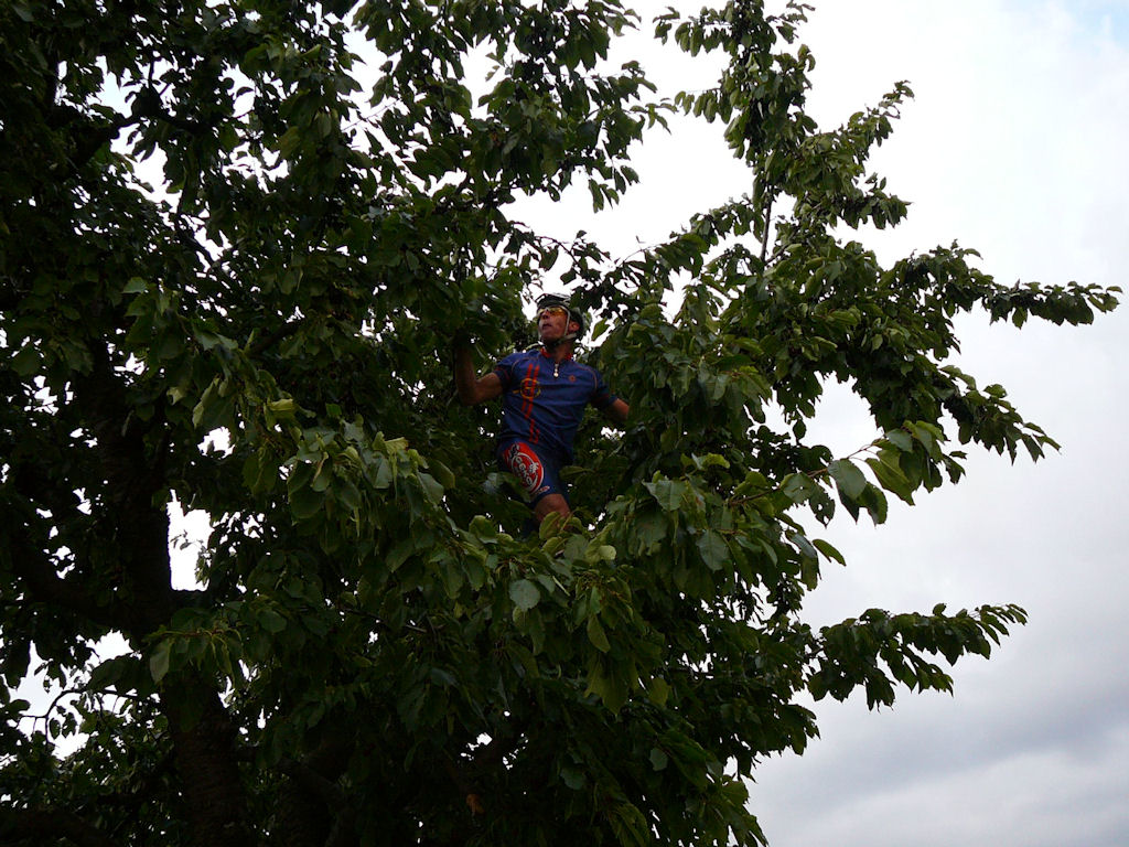 |
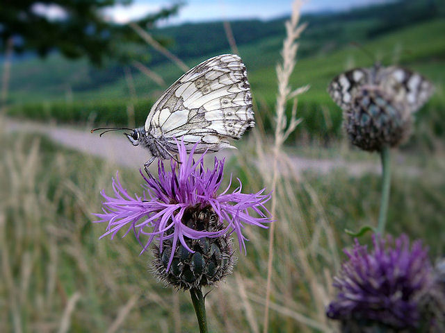 butterfly 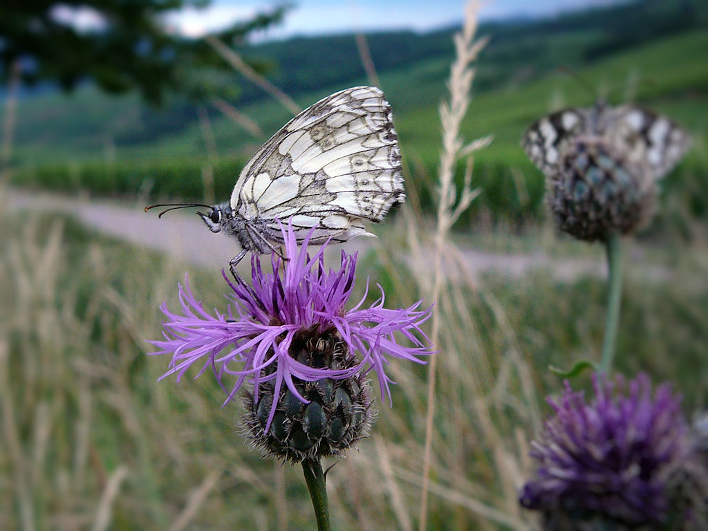 |
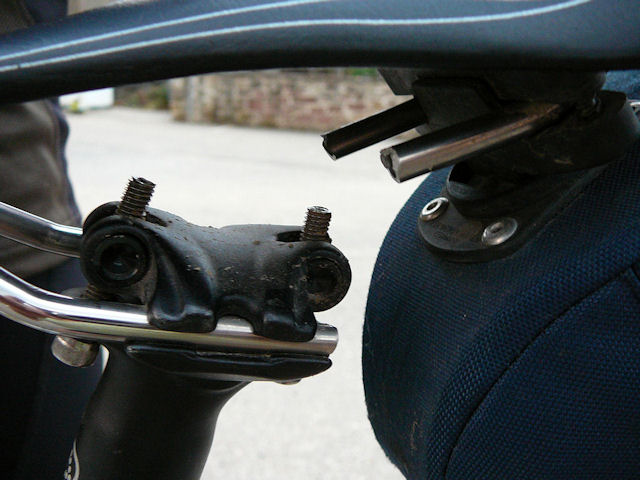 saddle 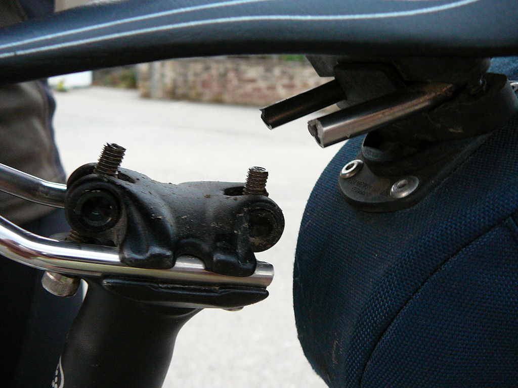 |
 sky 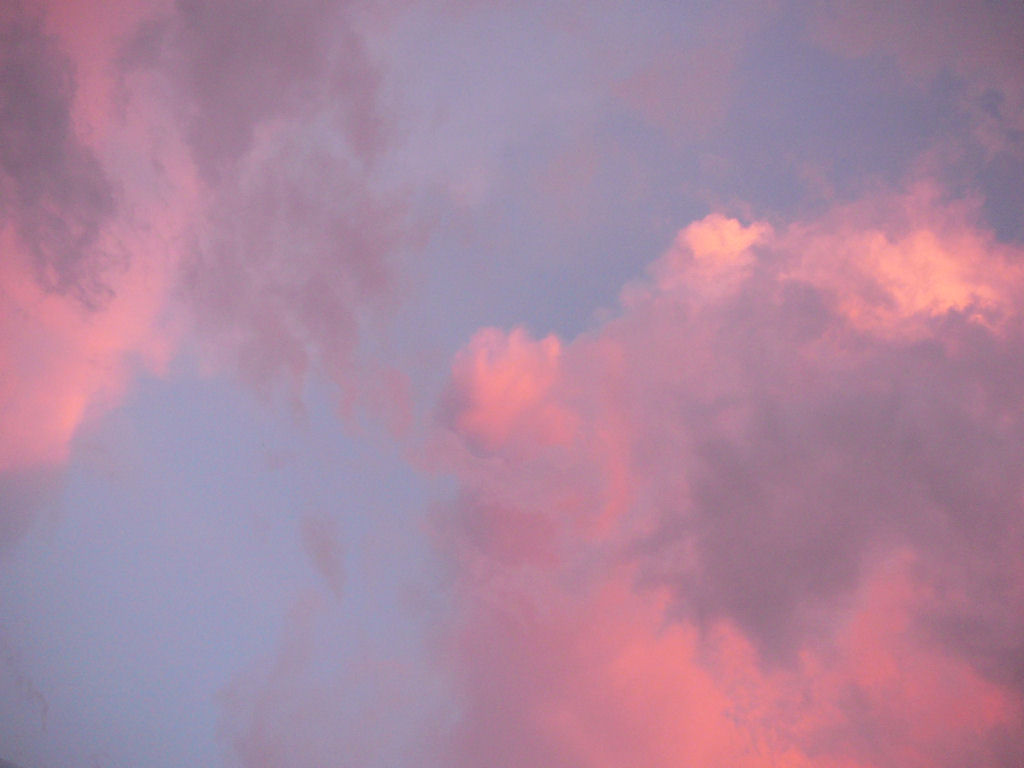 |
- a great tour, I'll give 4 stars. Michel finds again another possibility. Really good!
- the rise (and fall) after the Schauenberg, is it to add more miles?? No, it's to capture the deer!
- Let's go photographs, send your big pictures ;-)
and before?