

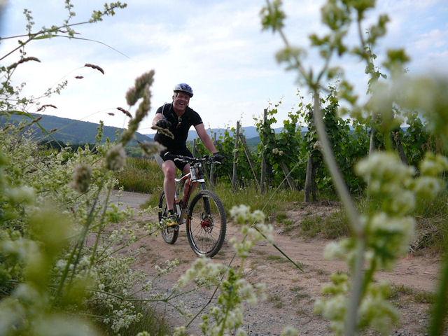
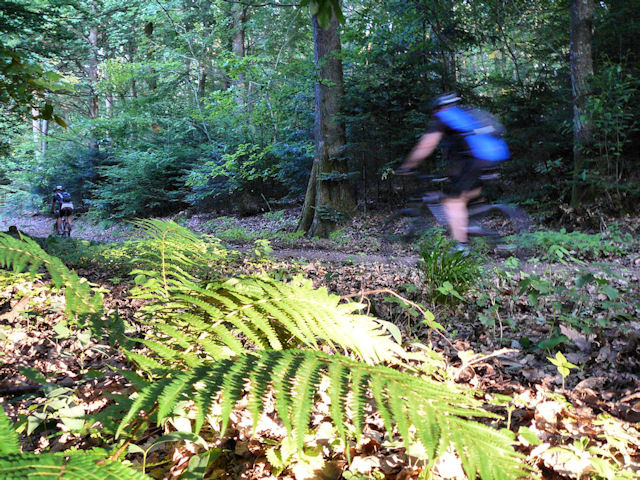
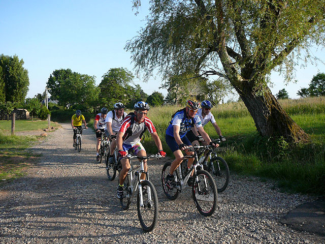
June 18, 2009
"Steinlebach"
 20°C ? 68°F ?
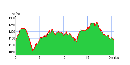
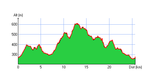
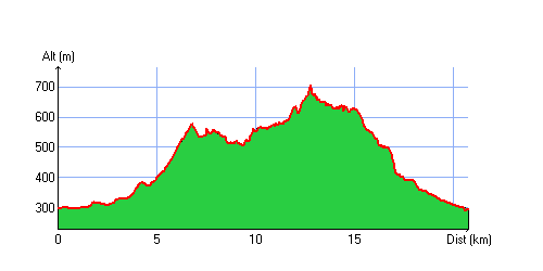
20 km 12 miles, 1h45 Elev.Gain 750 m 2400 feet

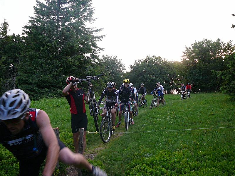
20 MTB (Jean, Julien, Michel, Yves, Christian, Bernard, Denis, 2 Thierry, Gérald, Claude, Alain, Franck, Stéphane, Yann, Sébastien, Gilles, 2 Christophe, Paolo)
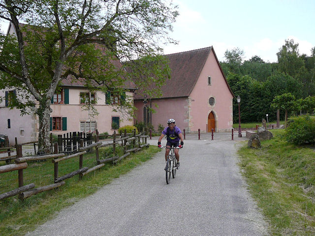
 Appointment at 7:00PM at the Steinlebach
From there we climb towards Markstein, down the "grenouillère" (there is no more snow on this piste!!) - Hundsrucken - turned around to return to the Markstein farm - Treh - Breitfirst - Oberlauchen pass - return to the Steinlebach
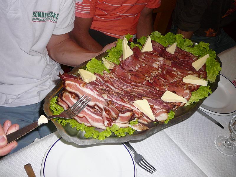
The 2nd part of the evening is also exciting: a meal by Jean ....
at the menu: bacon, potatoes, cheese, dessert ... and something to drink!
 |
 |
 |
 |
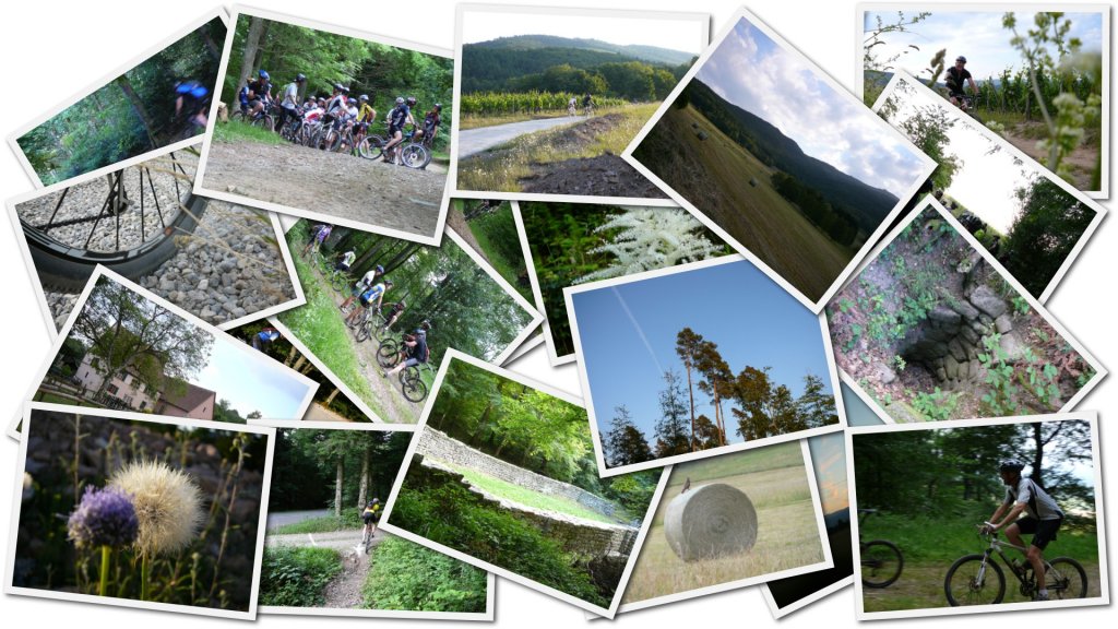
 60 pictures (indexB)
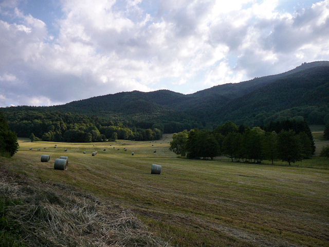
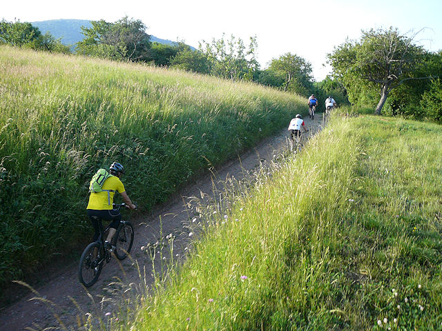
- Gérald found the trip too easy, so he climbs from Sengern. Well done!
- Nice weather: a storm just before the start, then a comfortable temperature .... not like in the valley 30°C 86°F
- At the next time!!
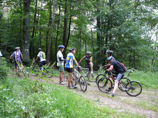
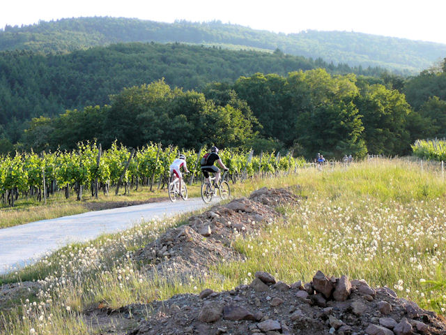
June 11, 2009
"vallée noble"
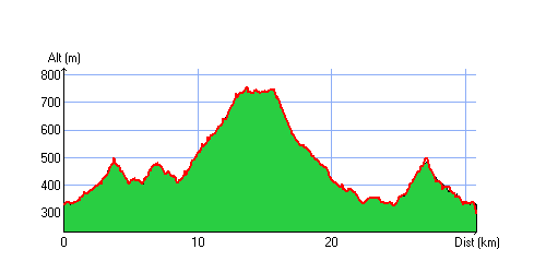
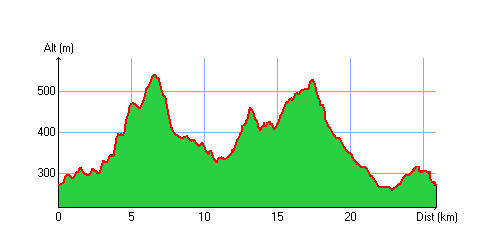
18-17°C 64-62°F32 km 20 miles, 2h10 Elev.Gain 940 m 3080 feet
15 MTB (Michel, Yves, Jean, Bernard, Laurent, Denis, 2 Thierry, Julien, Thomas, Claude, Sébastien, Gilles, Jean-Luc, Christophe)
Appointment at 6:30PM in Guebwillerclimb at the Bannstein pass (1580 feet/482m) - descent towards Wintzfelden - climb to the Firstplan pass (2370feet/722m) - nice path to go at the Borne Jaune (yellow limit) (2420 feet/738m) (no stop) - arrival at the Wolfsgrube pass (2450feet/746m) for the great descent!!!!
In Osenbach, Jean-Luc propose us to do a mechanic workshop (replacement of brake pads) Oh yes!! I should also control mines!
Wintzfelden, then climb to the Bannstein pass (not by the road!) to go in the Guebwiller valley
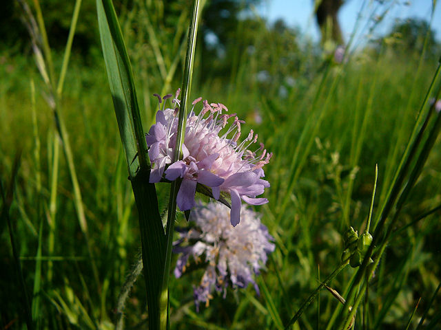
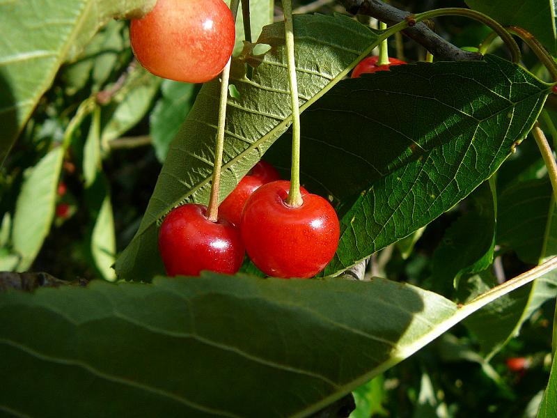 cherry |
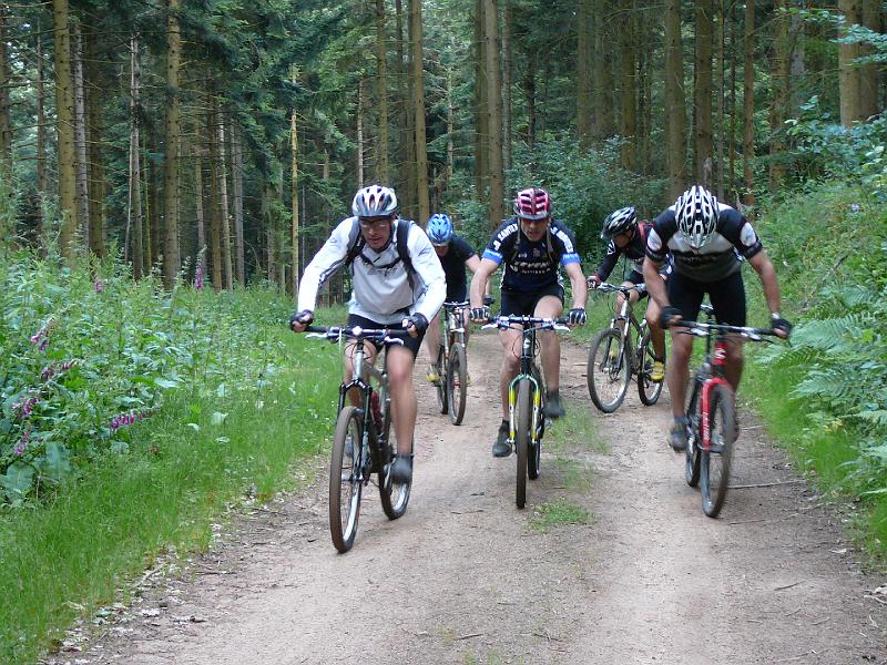 group |
 Thomas |
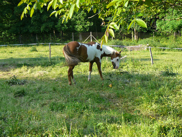
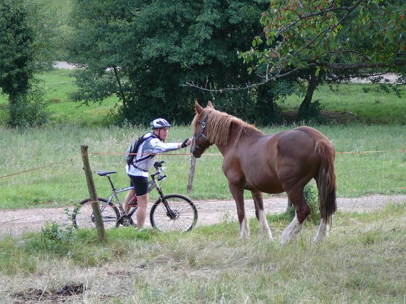 horse |
36 pictures (indexB) same trip: July 05, 2007 (except the end)
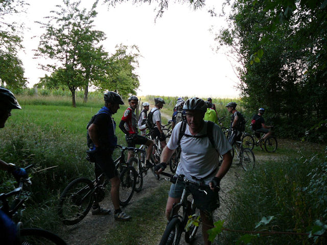
June 4, 2009
"Noble Valley (vallée noble) - Schwarzenthann"
20-18°C 68-64°F29 km 18 miles, 1h50 Elev.Gain 750 m 2400 feet
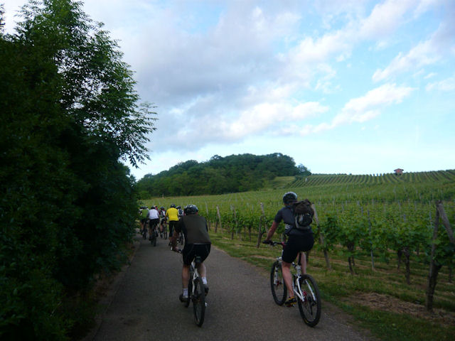
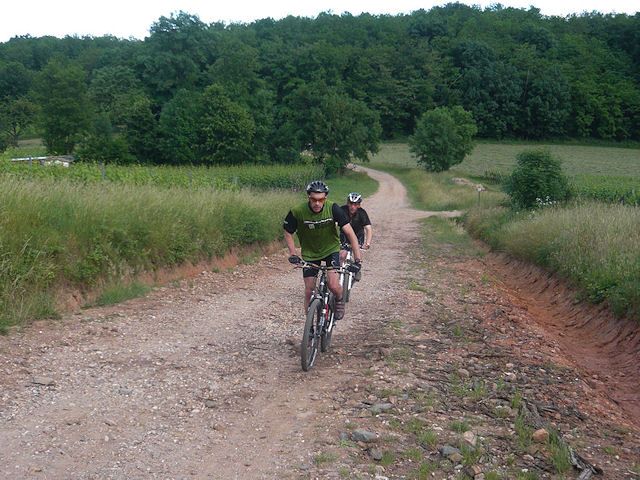
19 MTB (Michel, Yves, Eric, Jean, Stéphane, Yann, Christian, Bernard, Franck, Gérald, Laurent, Denis, 2 Thierry, Claude, Paolo, Sébastien, Gilles, Christophe)
Appointment at 6:30PM Guebwiller (at the cemetery - Bergholtz).We make a loop in the vineyard to wait Claude. We climb in the forest near Bergholtz-Zell and we have a beautiful descent to the Val du Patre. Flat til Gauschmatt, a superb view from the noble valley and we go to the convent of Schwarzenthann.
Now direction Bannstein. East side to the Gauschmatt. We take the road to the Val du Patre then left on a small way. Michel is here ... Whew! near the Quierenbach to reach Orschwihr.
Last climb to the Bollenberg's chapel and back to the cars!
 Laurent 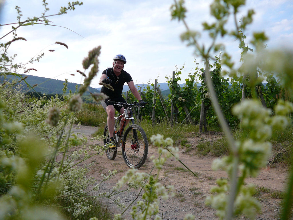 |
 waiting 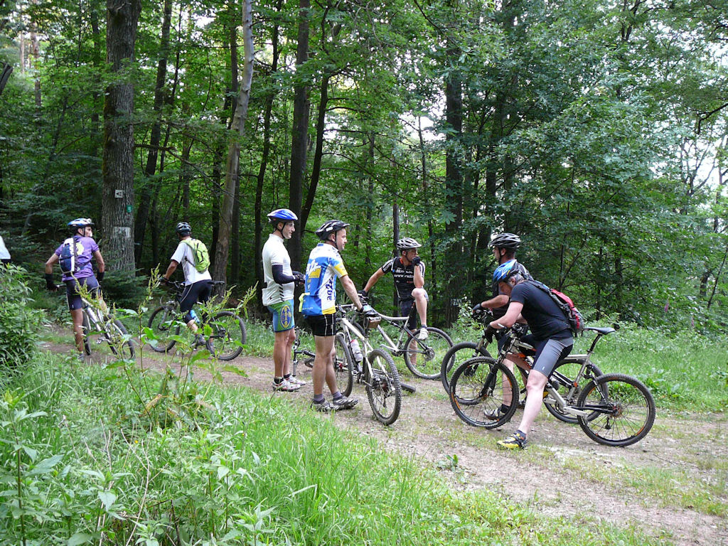 |
 Claude  |
 Stéphane  |
 group 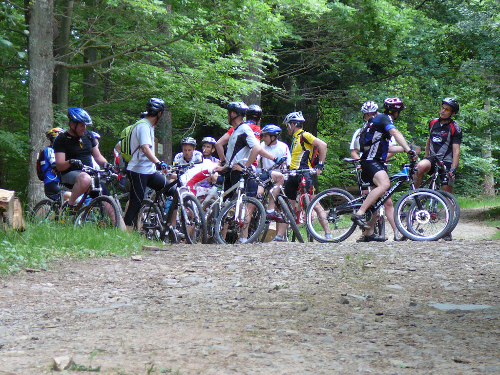 |
 Franck 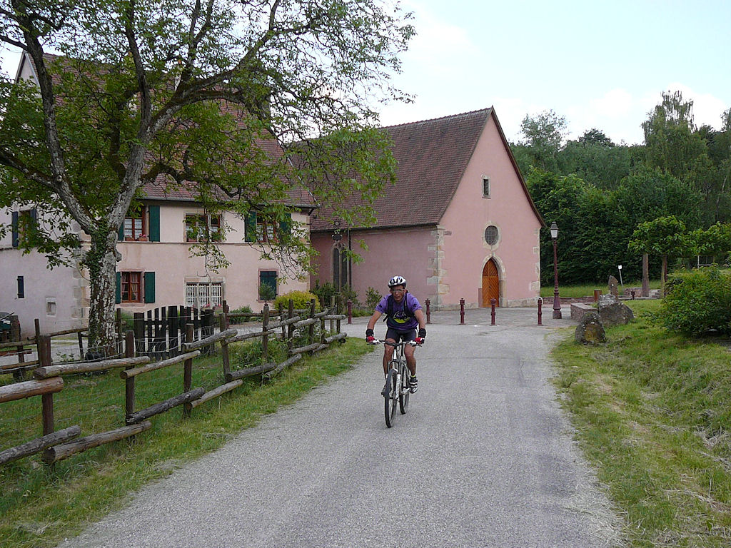 |
 fields  |
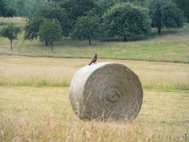 raptor 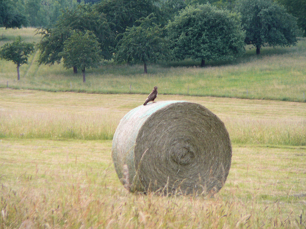 |
 pebbles  |
 Michel 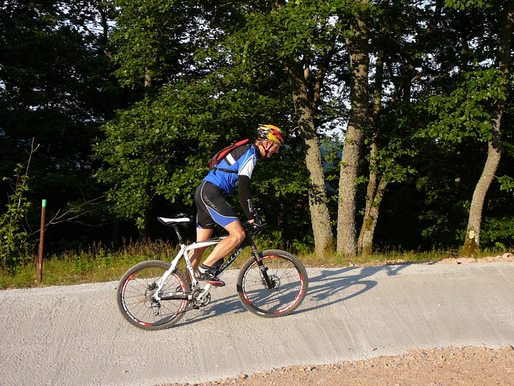 |
 rise  |
 balls  |
 Schwarzenthann  |
 well 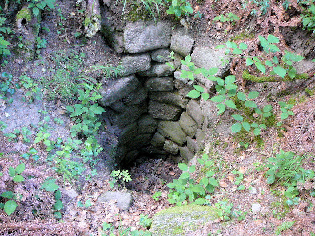 |
 ?  |
 Jean 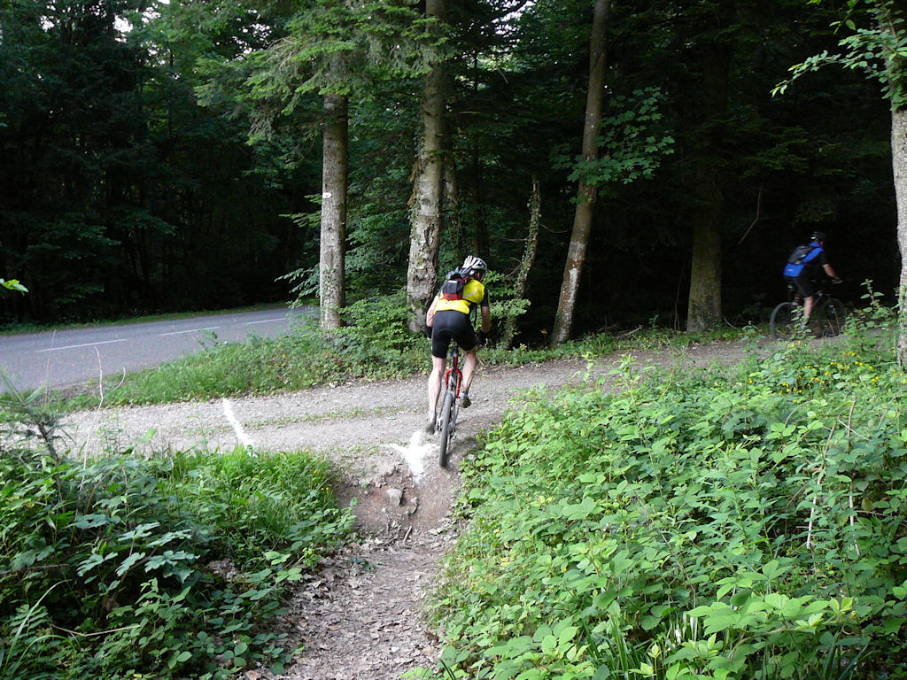 |
 Yann  |
 blue 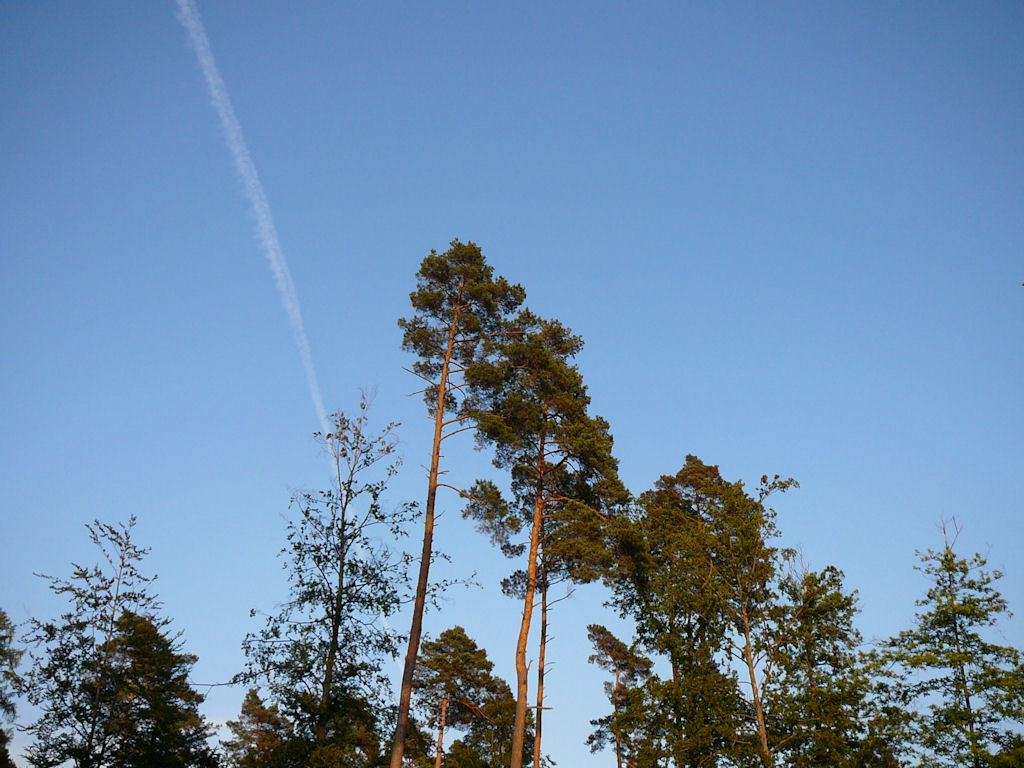 |
 U-turn 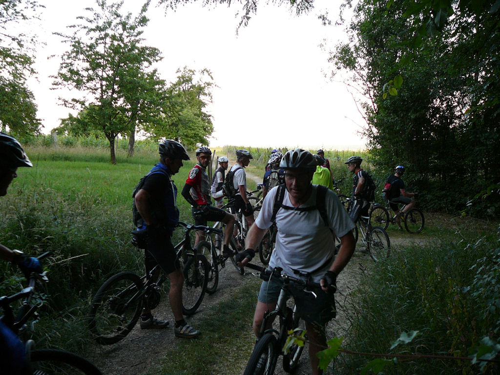 |
 Vosges  |
 polaroid FullHD |
an (unusual) superb loop, with many participants! thank you
www.lieux-insolites.fr/alsace/schwarzentann
 info about the convent of Schwarzenthann
May 28, 2009
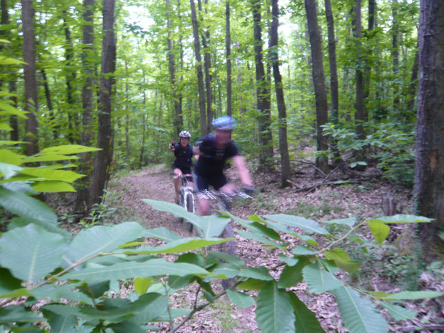
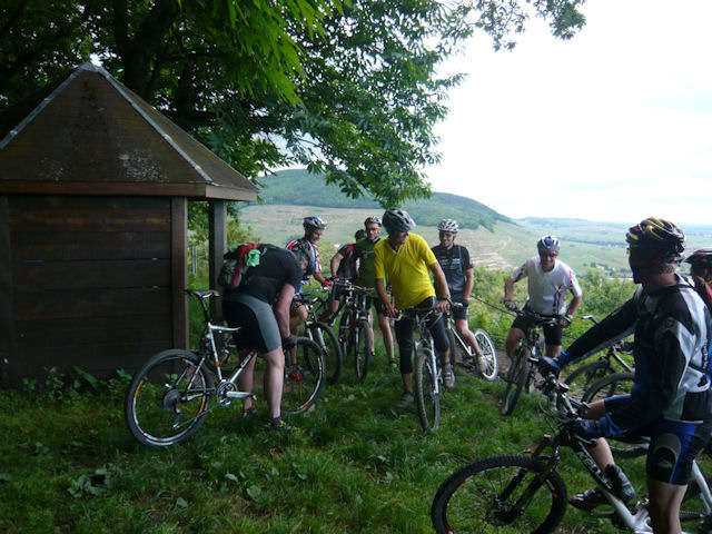
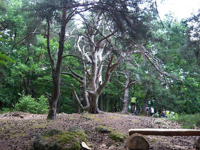
"the peloton exploded / explosion du peloton"
18°C 64°F28 km 17 miles, 1h50 Elev.Gain 800 m 2600 feet
15 MTB (Michel, Yves, Stéphane, Christian, Clément, Bernard, Franck, Gérald, Laurent, Thierry, Claude, Paolo, Sébastien, Gilles, Christophe)
Appointment at 6:30PM in Hartmannswiller.Jungholtz - Nez de Soultz - Heidebuckel - Bildstoeckle - Peternit - Rimbach Zell - Ste Anne - Hartmannswiller
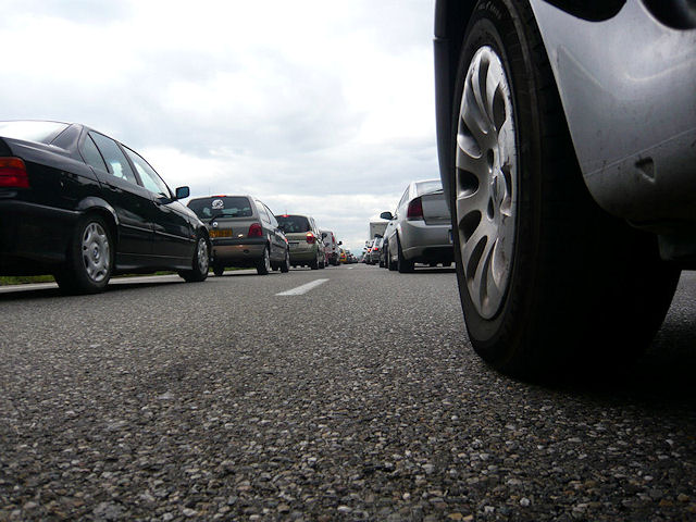 traffic jam 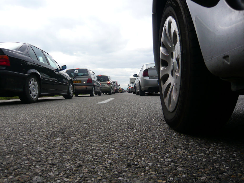 |
 green and blue  |
 rise  |
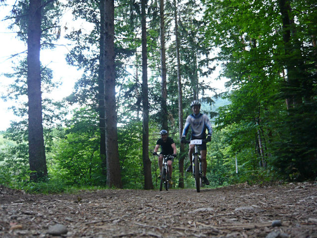
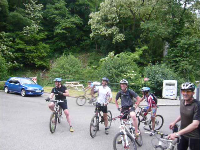
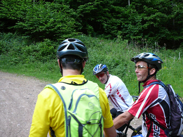
 group 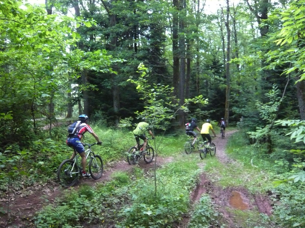 |
 obstacle  |
 turn  |
 Gérald  |
 sky  |
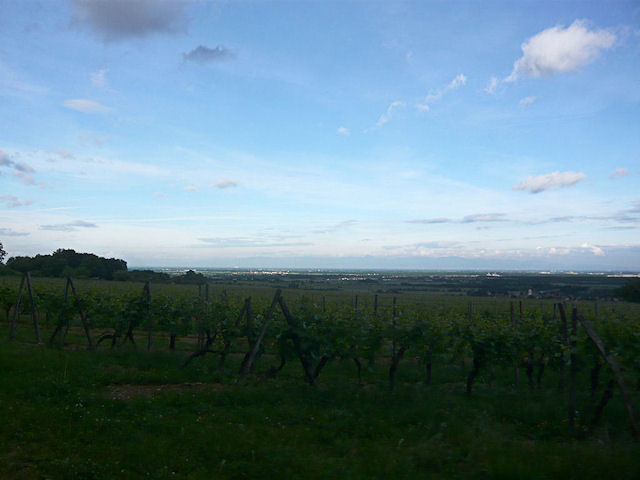
 vineyard 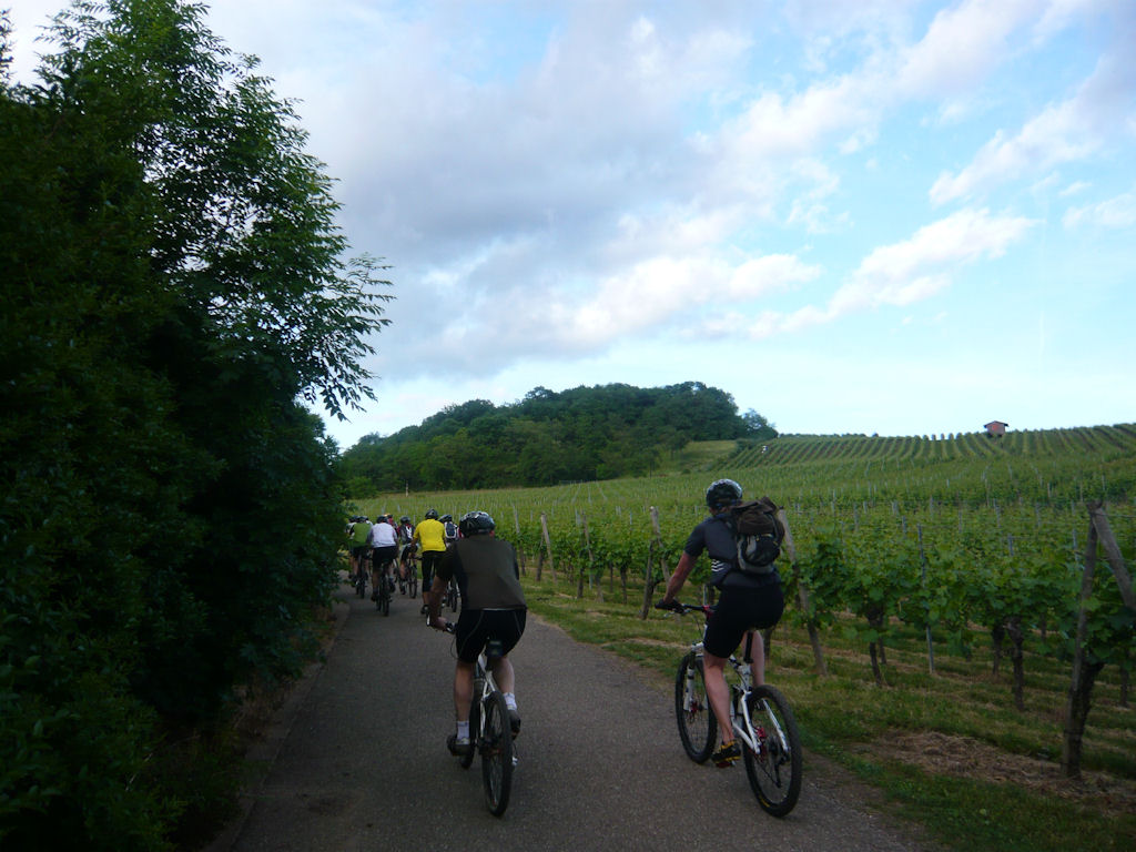 |
 Yves Claude  |
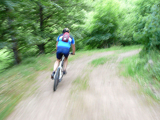
 blur  |
 nose  |
 tree  |
 fungus 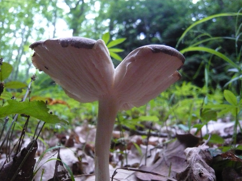 |
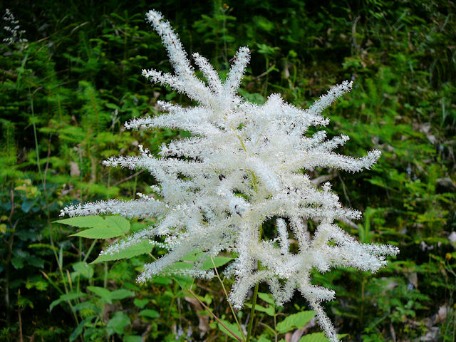
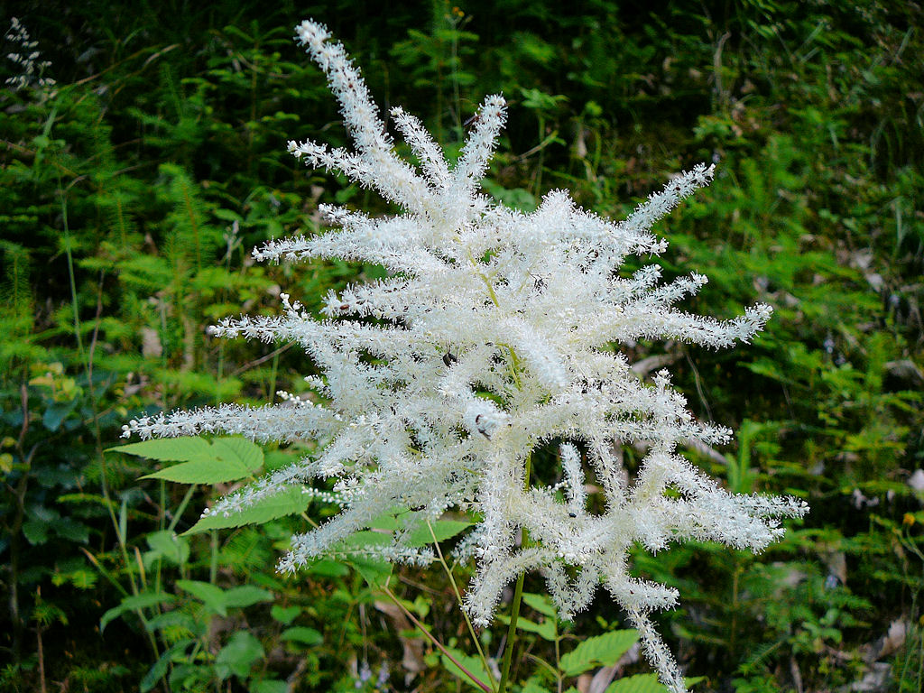
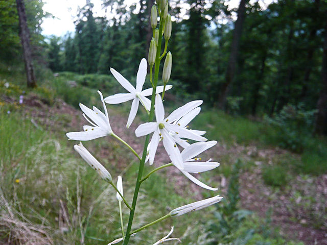 white  |
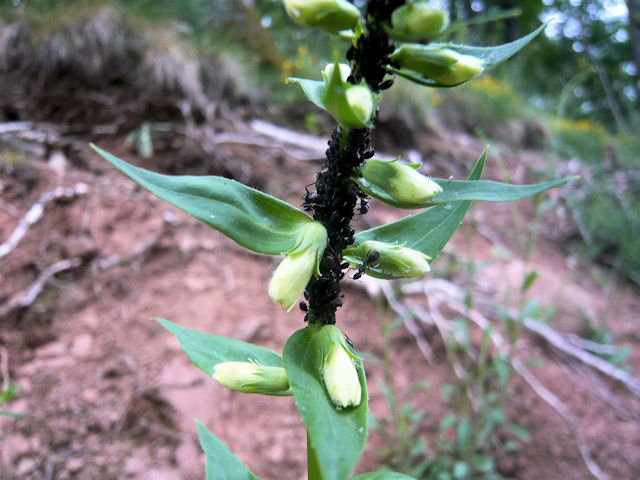 aphids ants 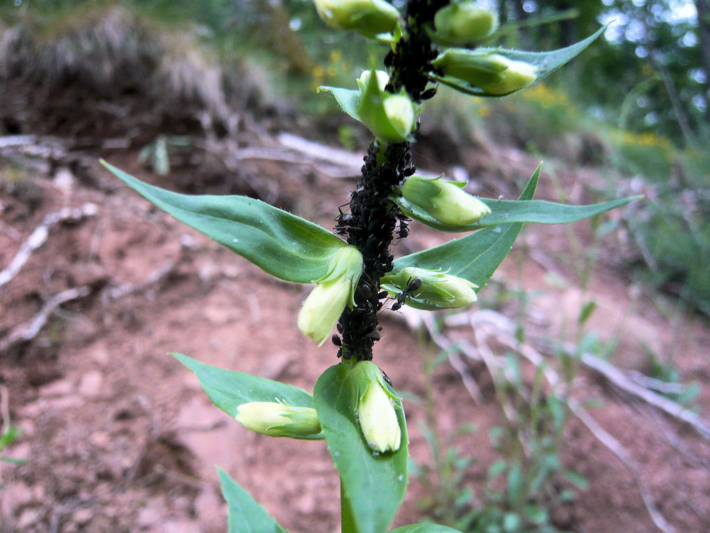 |
 reunion |
 Michel  |
 Yves Stéphane 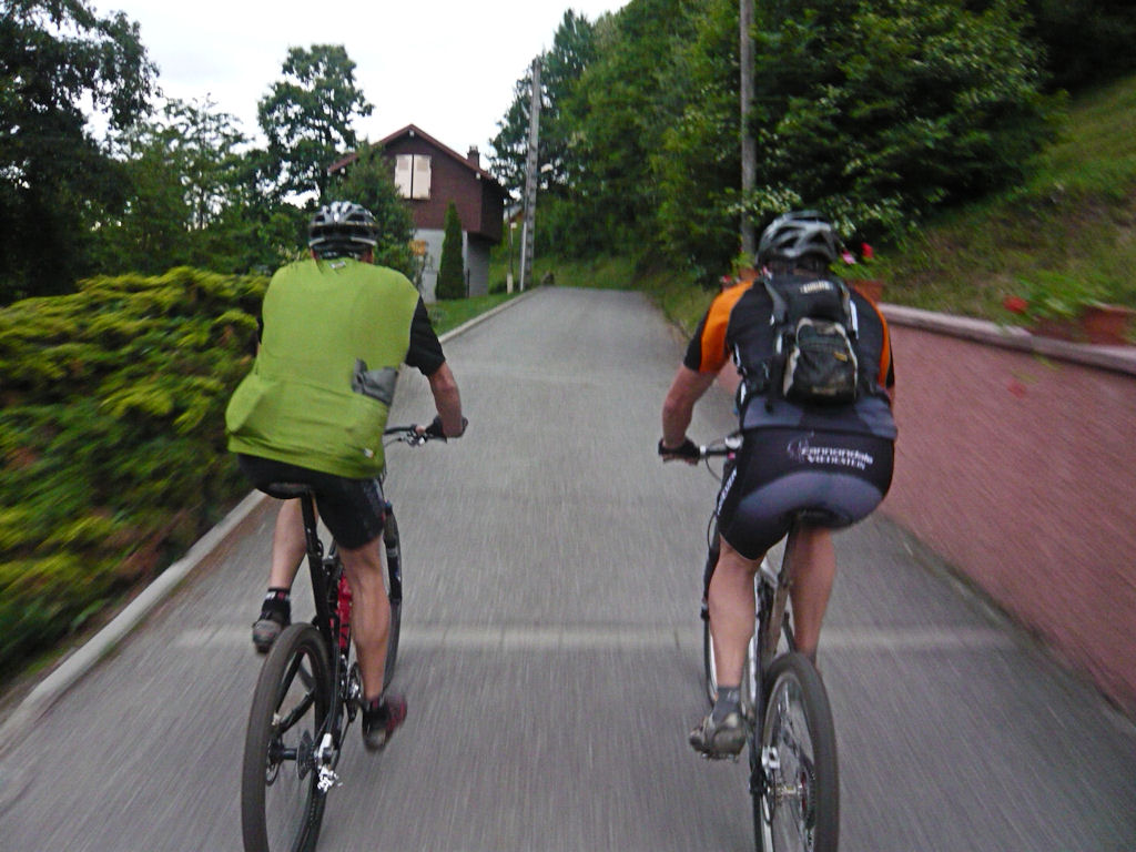 |
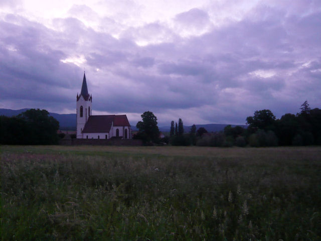 church 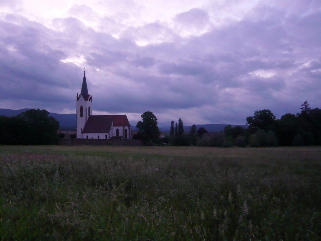 |
May 20, 2009
"Hirnelestein"
 30-22°C 86-71°F
22 km 14 miles, 1h30 Elev.Gain 600 m 2000 feet
8 MTB (Bernard, Denis, Franck, Michel, Gérald, 2 Thierry, Christophe)
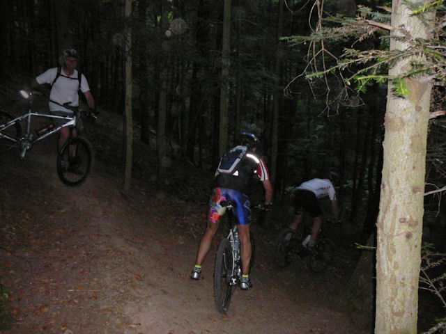
Appointment (Wednesday, tomorrow is the Ascension of Jesus) at 6:30PM in CernayThe departure will be given 30mn after, because some get stuck in traffic accident. It's with a nice weather that we go in direction Uffholtz and Wattwiller. The 2nd part will be in the shadow (it's not very good for the pictures!!) The acacias
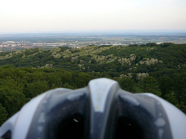
No stop (at the Erzenbach cascade); we continue to the Hirnelestein rock (510m). Just a few more steps to climb and then we can see the beautiful view over the plain It's 20h30 as we leave the place. We go near the Donnerloch mine, then Steinbach and Cernay.
 mtb Thierry M. |
 shadow Thierry M. |
 group 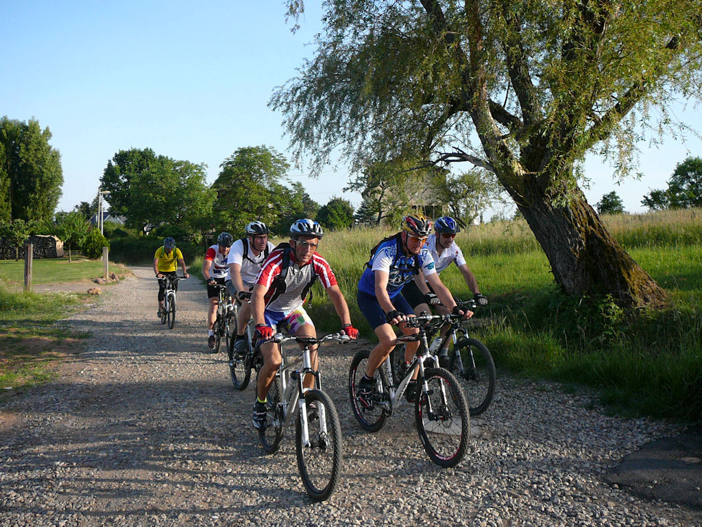 |
 path 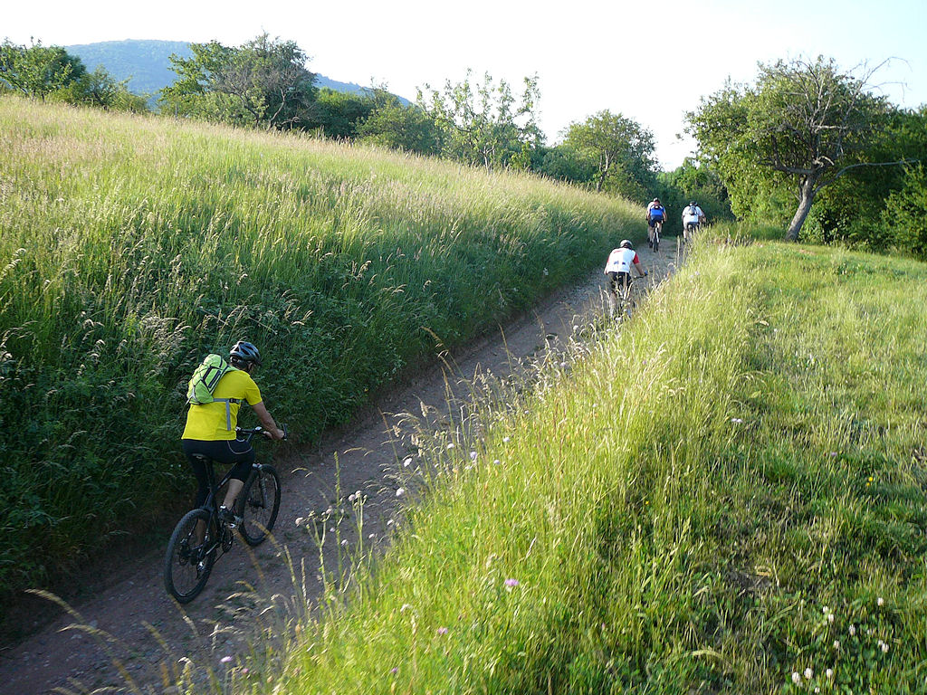 |
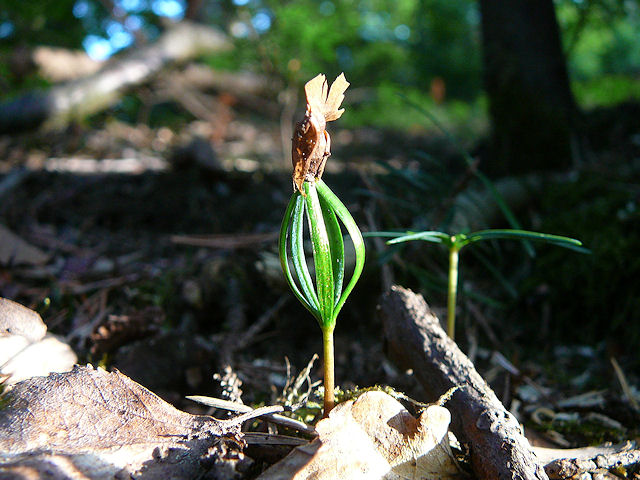
 flower 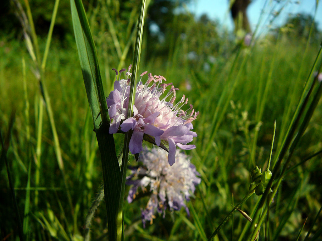 |
 horse  |
 giant  |
 Franck  |
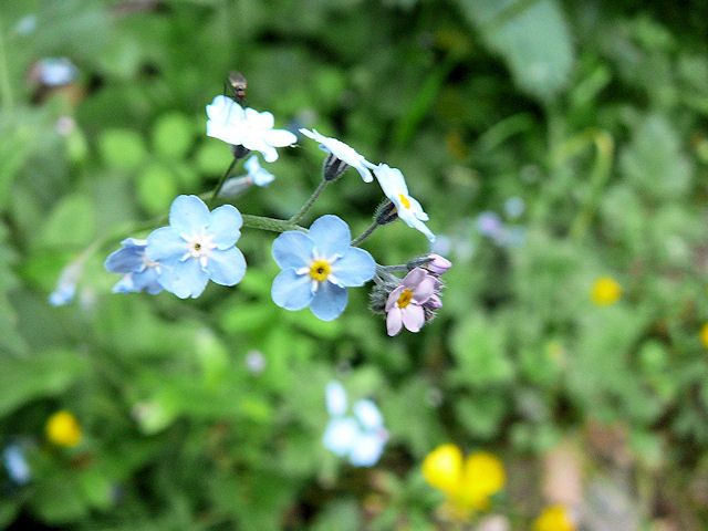 Forget-me-not  |
 Michel 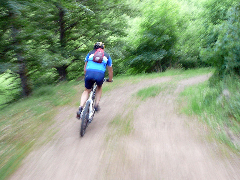 |
 yellow point 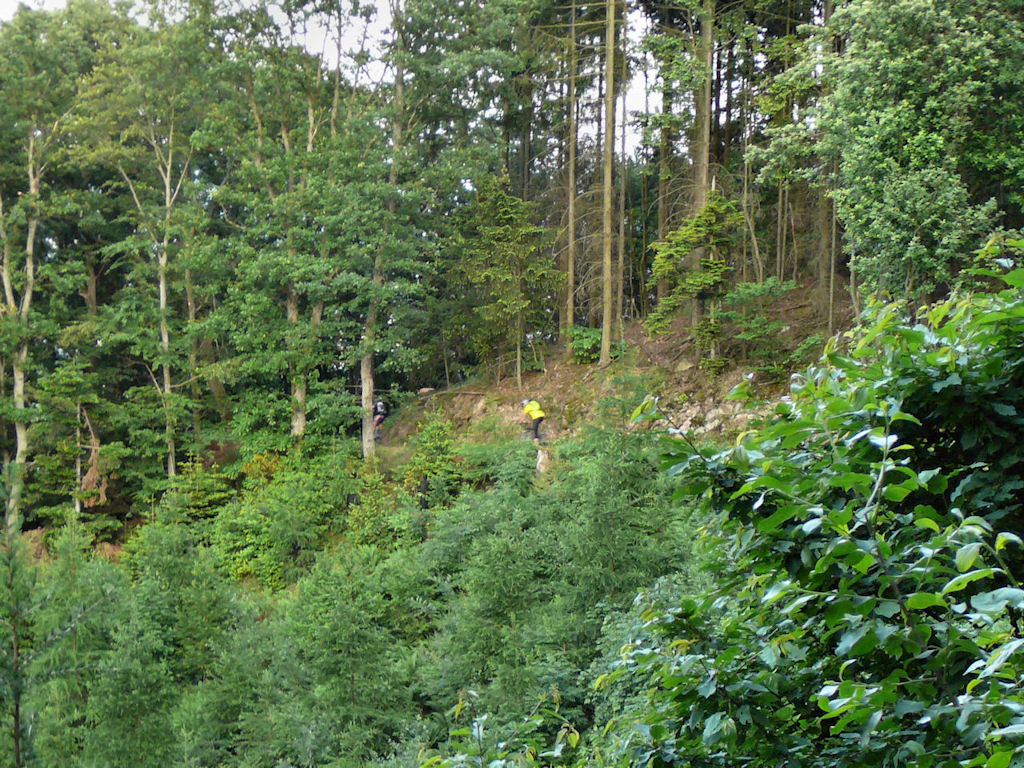 |
 acacias  |
 Hirnelestein 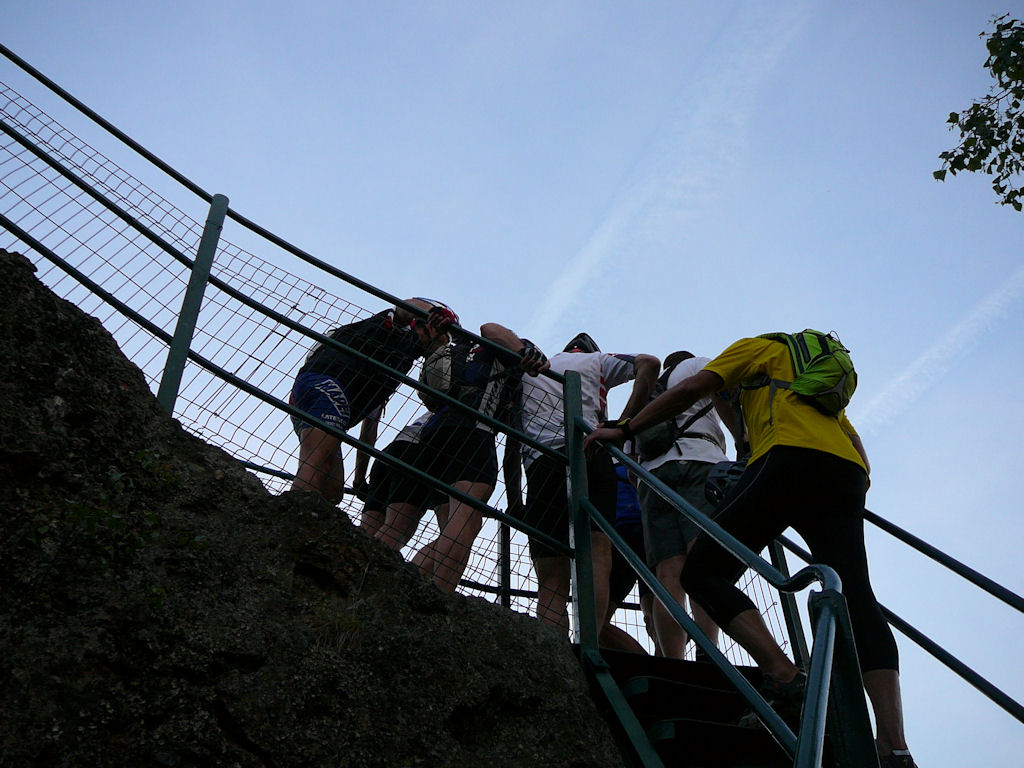 |
 helm  |
 group 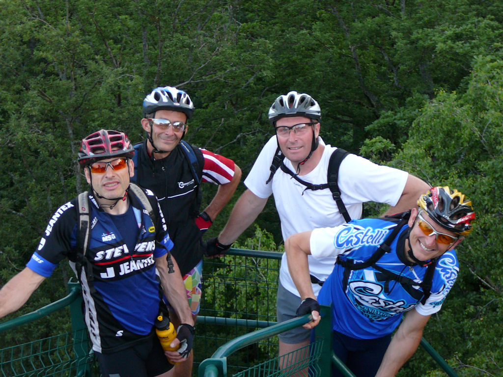 |
 black  |
- For Denis and Gérald, it's a training for tomorrow ... 43 miles (70 km) from Guebwiller.
Departure at 8h with Paolo, Christian, .....
and before?