

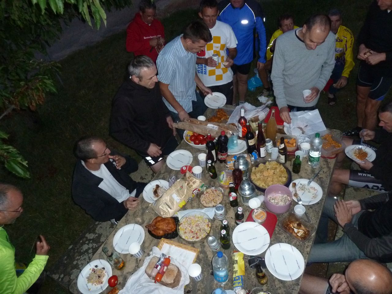
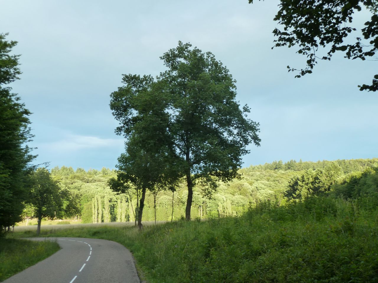
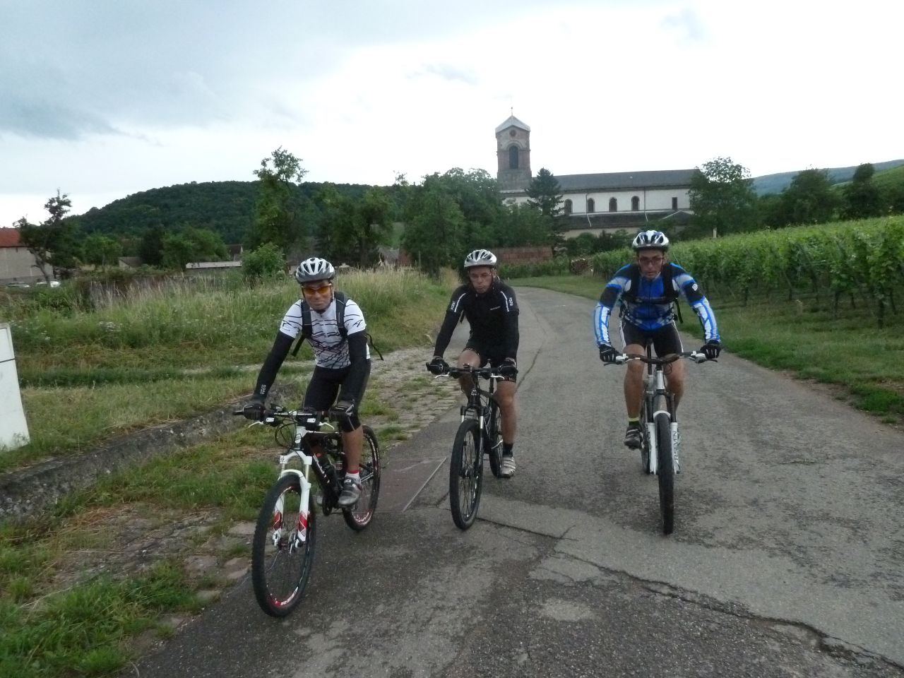
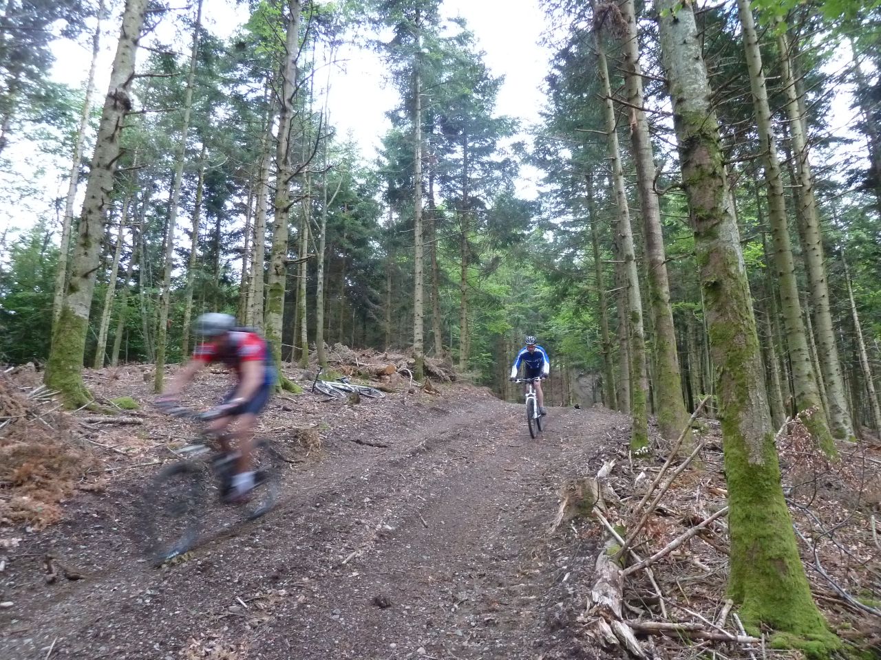
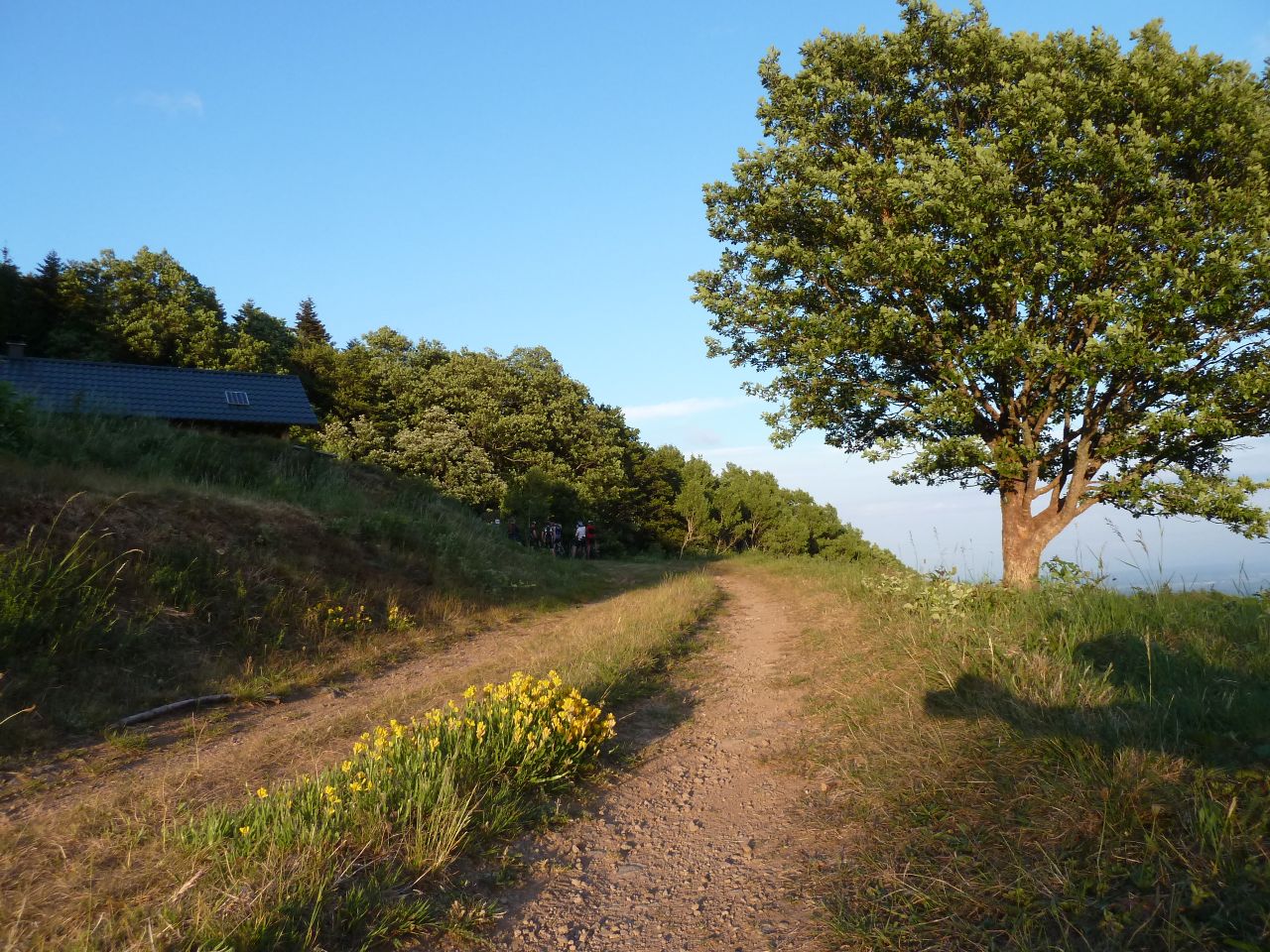
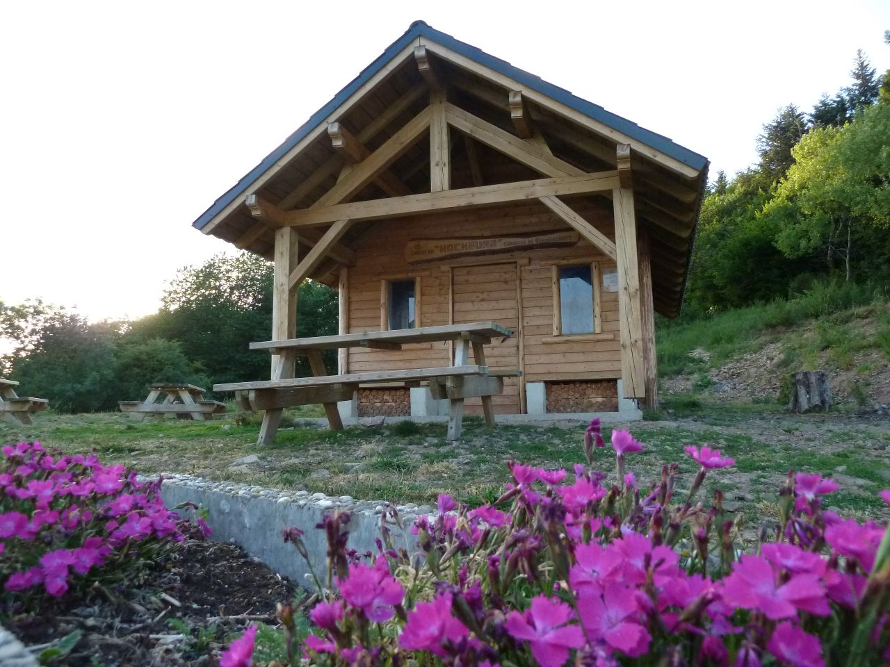
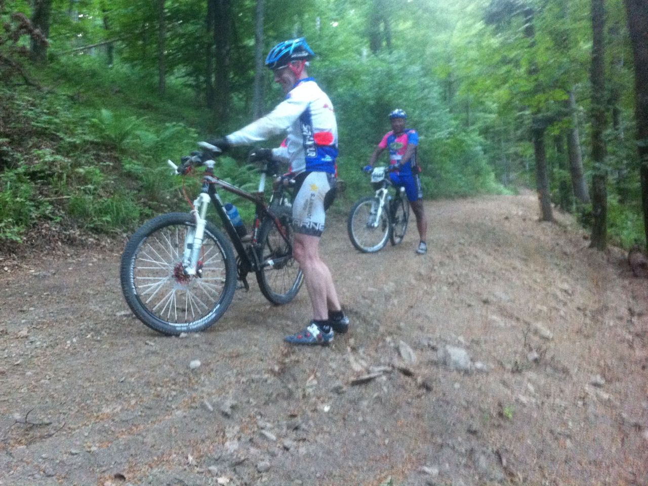
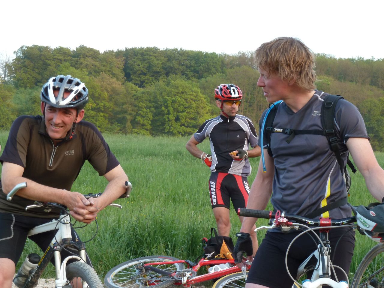
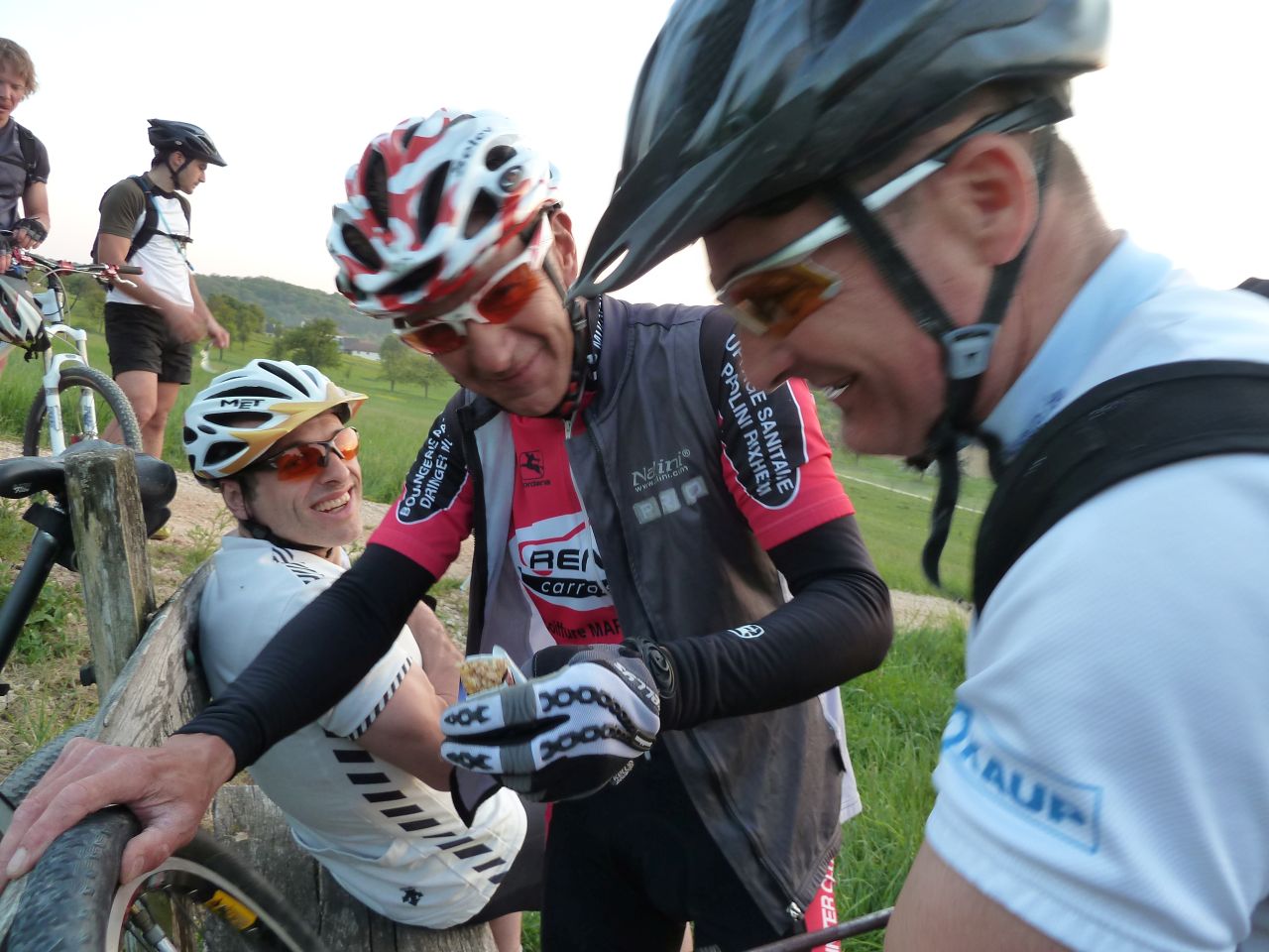
June 30, 2011
"Hohlandsbourg and picnic"

 20-14°C 68-57°F
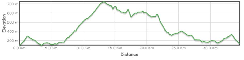
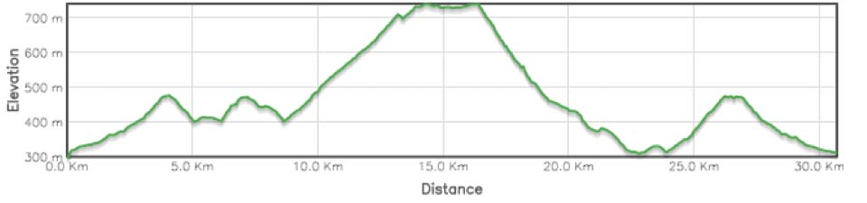
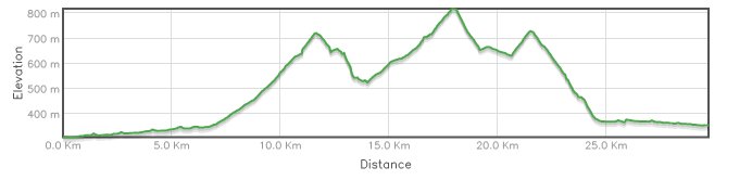
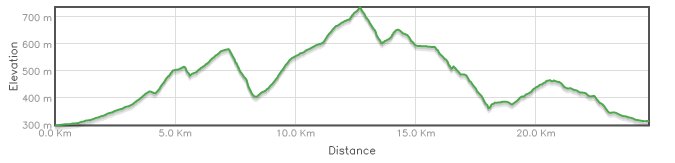
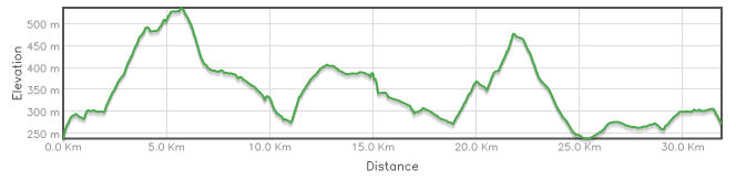
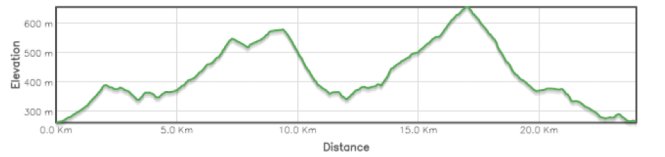
34 km 21 miles, 2h40 Elev.Gain 940 m 3100 feet

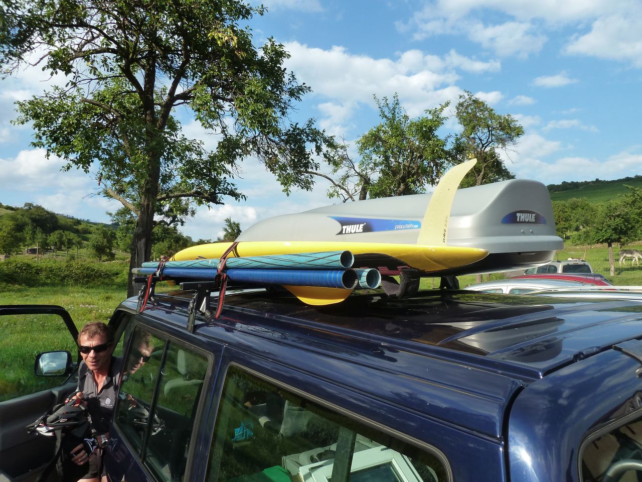
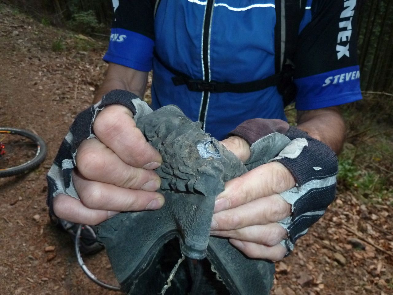
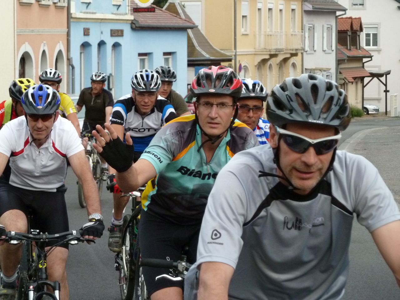
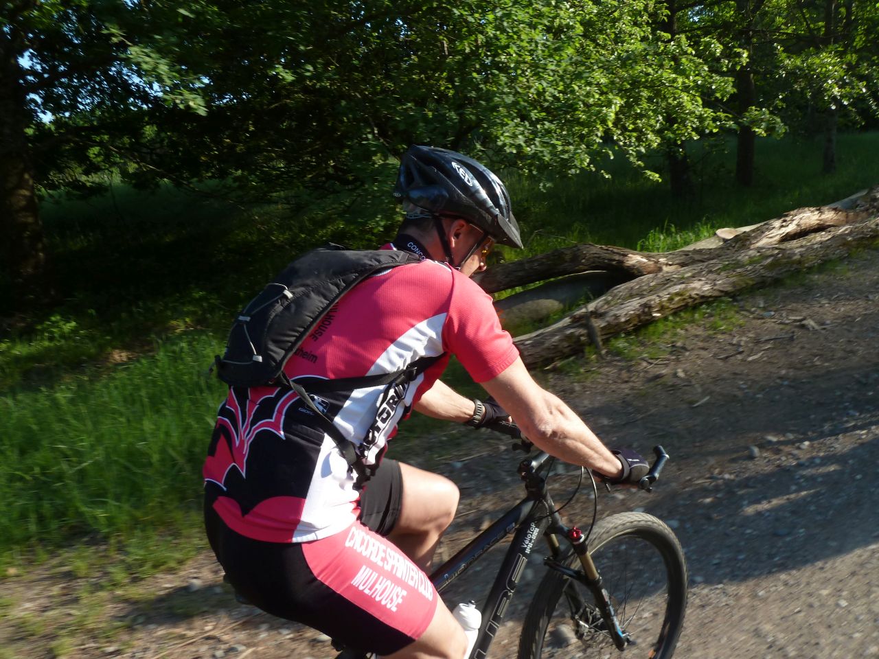
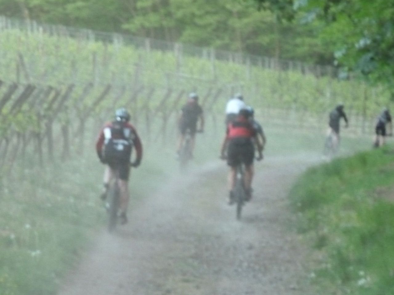
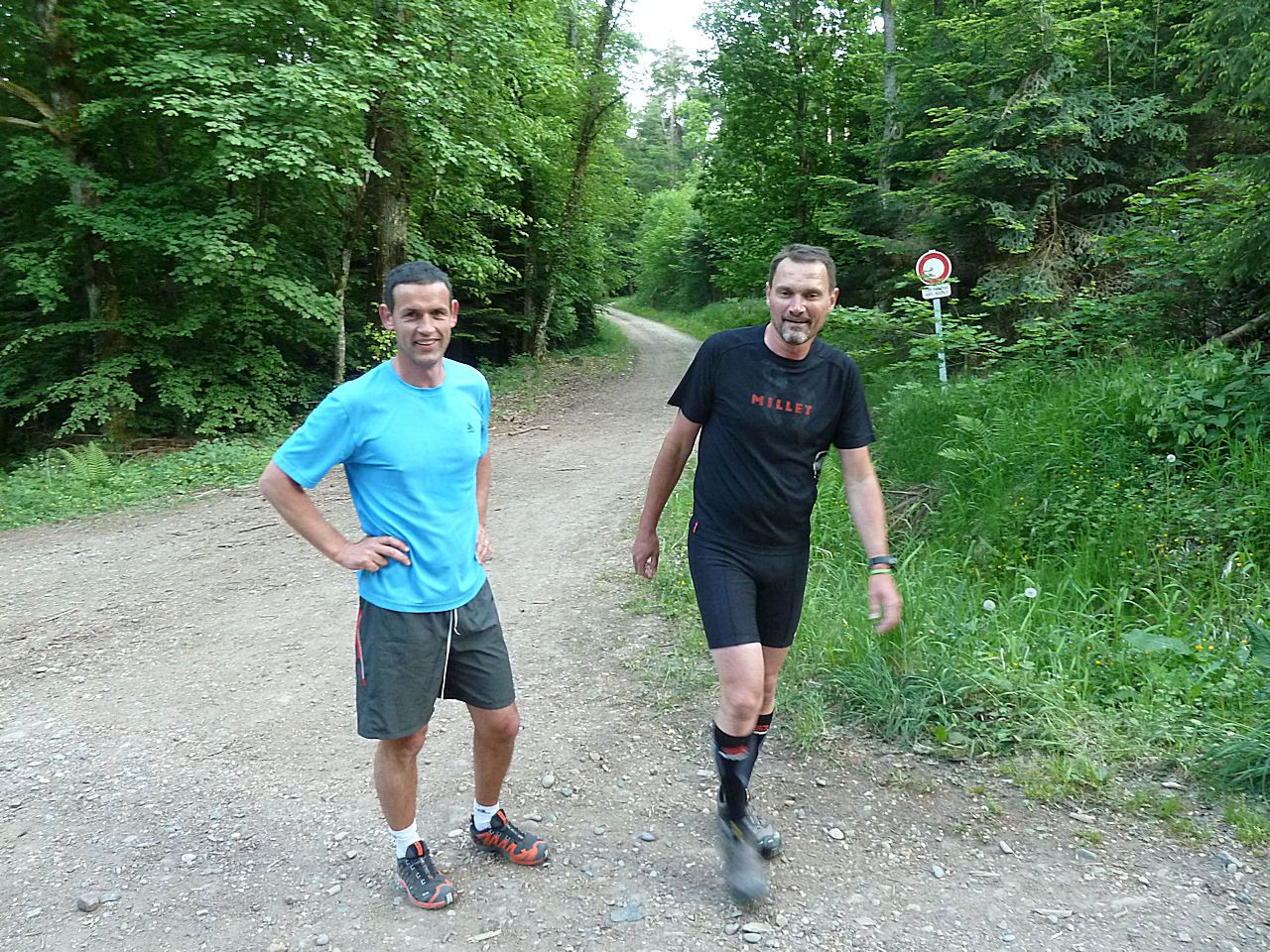
19 MTB (Alain, Bernard, Christian, 2 Christophe, Claude, Daniel, Denis, Franck, Georges, Gilles, Jean-Luc, Marco, Michel, Pascal, Thierry M, Thomas, Yves ...)
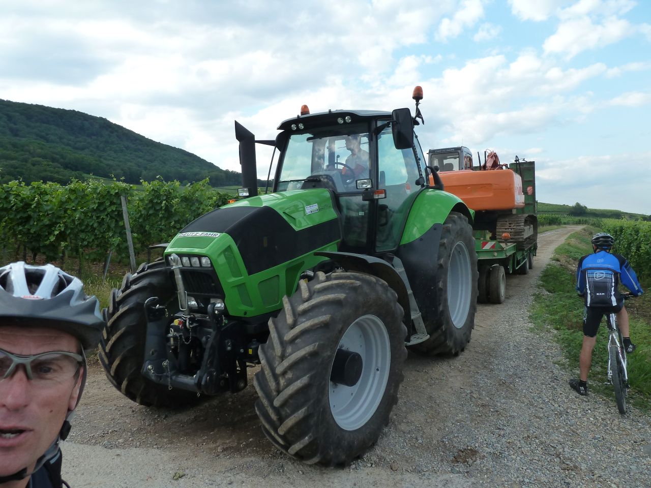
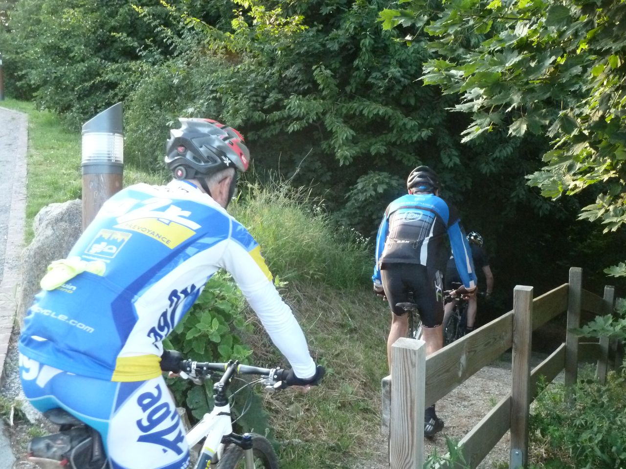
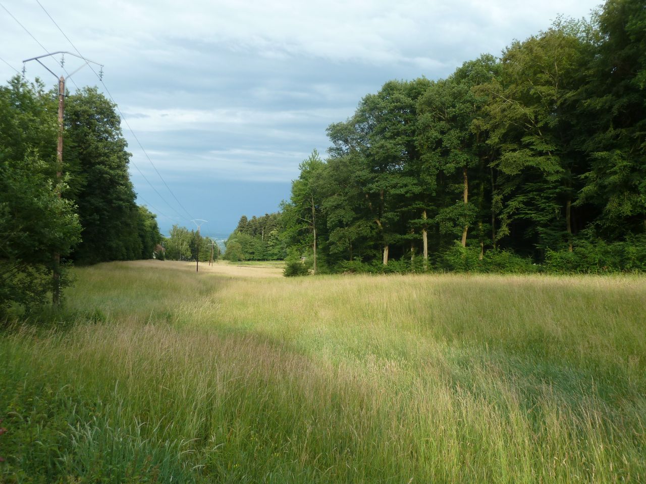
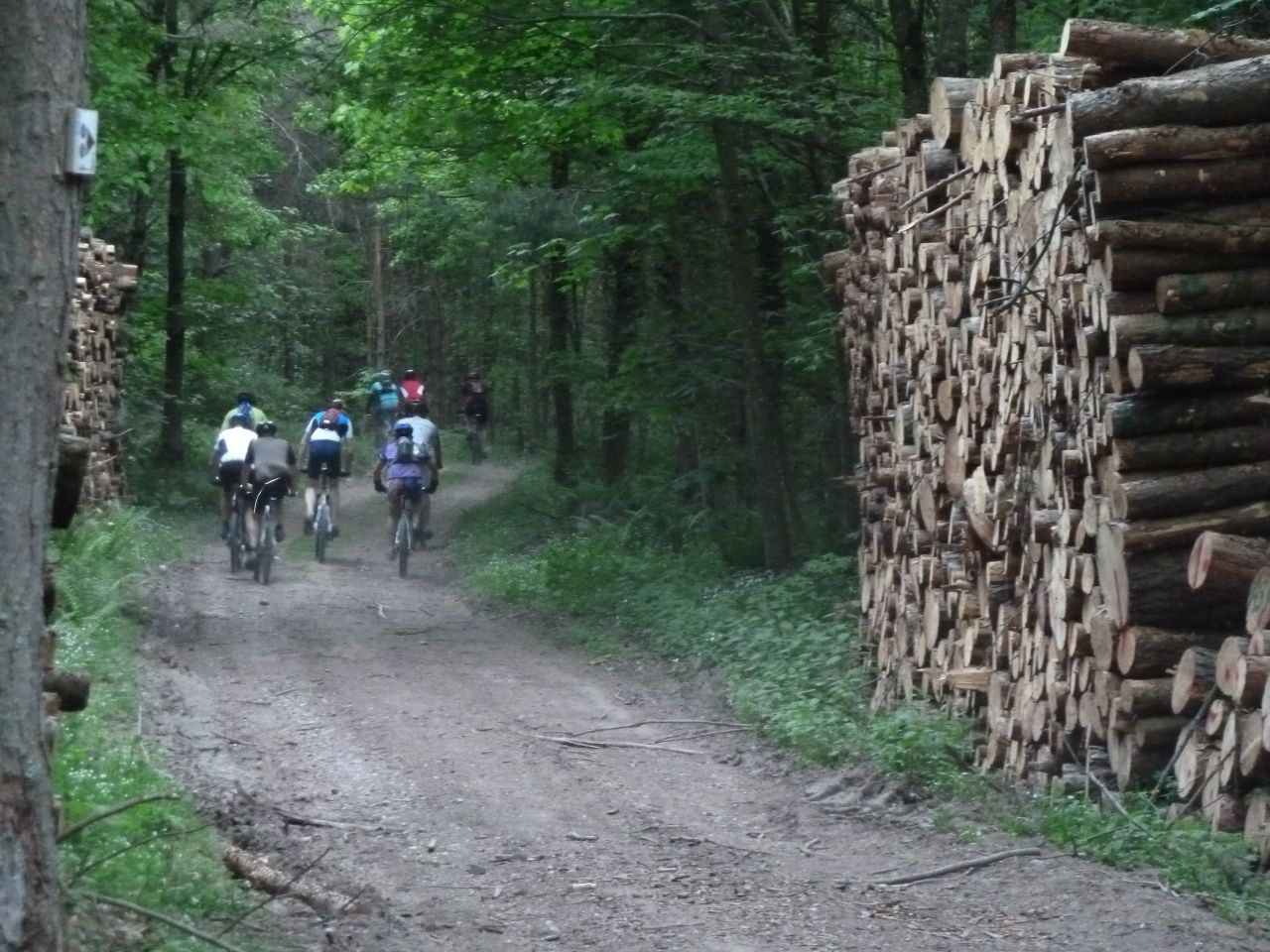
Westhalten - Gueberschwihr - Voegtlinshoffen - Stauffenmatt - Hohlandsbourg
Husseren-les-Chateaux - Voegtlinshoffen - Gueberschwihr - Westhalten
 |
 |
 |
 |
 58 pictures (G Photo)
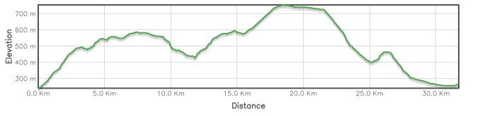
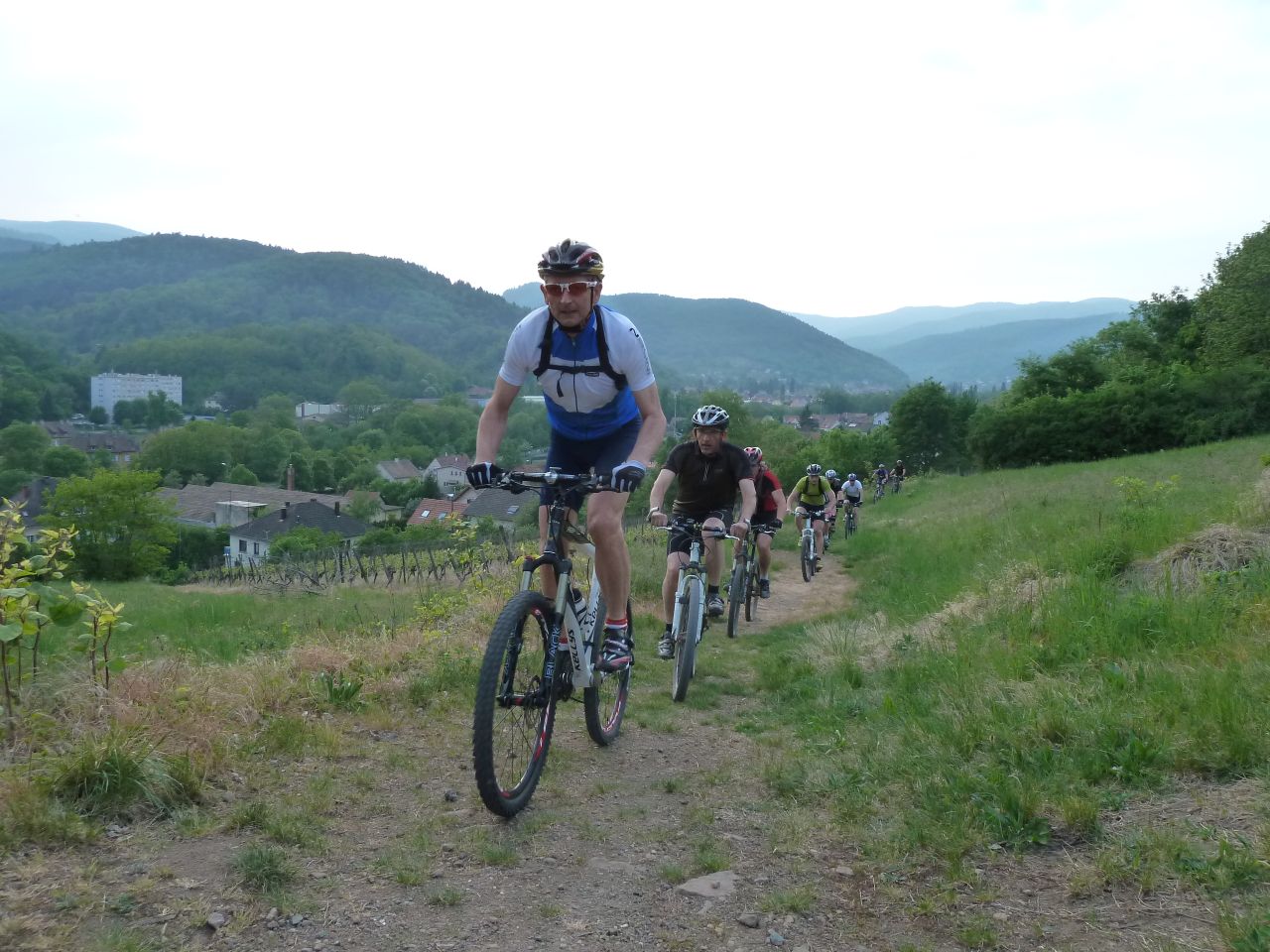
June 23, 2011
"duathlon"
18-16 °C 64-61°F30 km 19 miles, 2h40 Elev.Gain 800 m 2600 feet
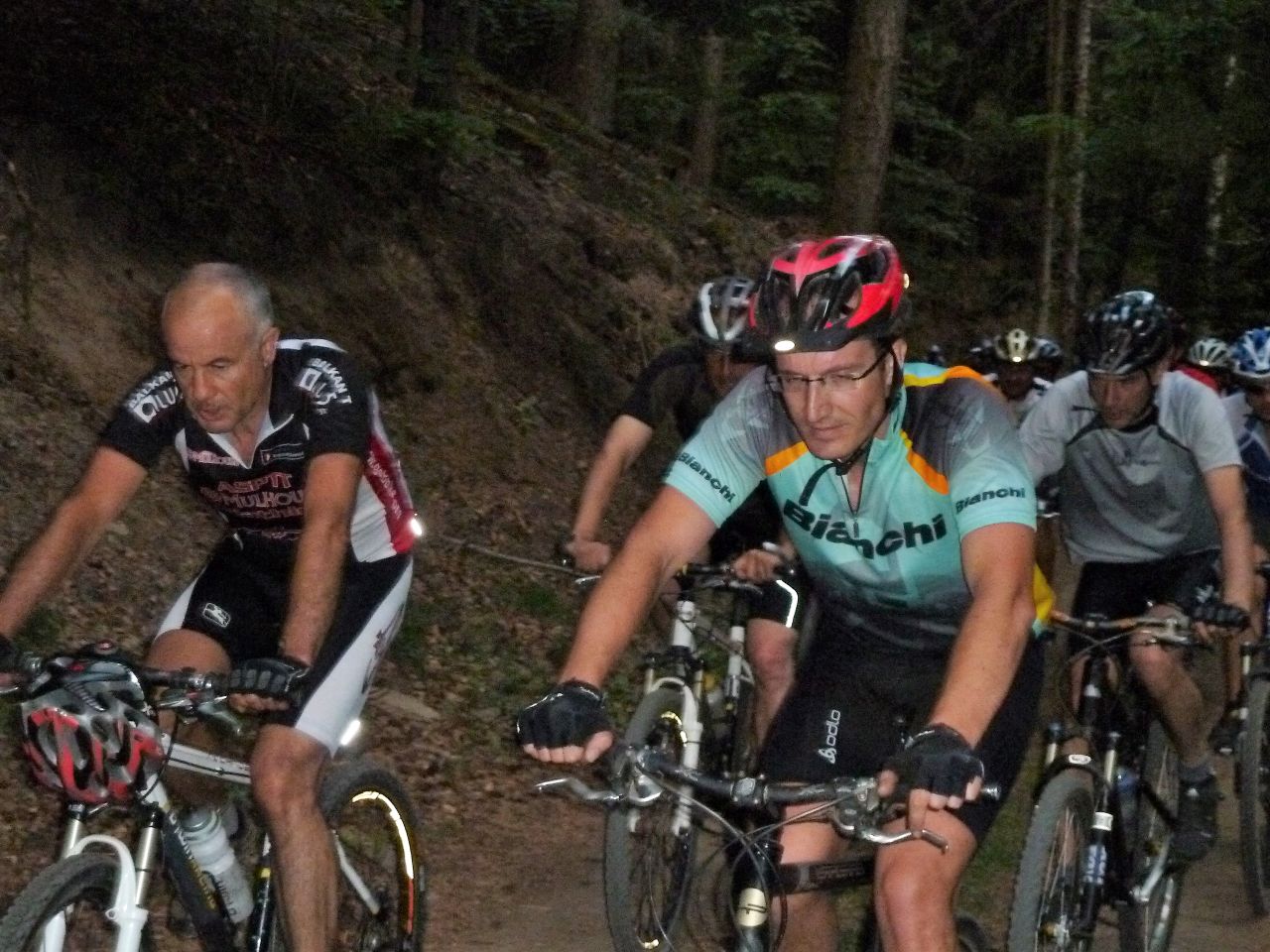
19 MTB (Alain, Bernard, Bertrand, Christian, 2 Christophe, Denis, Eric H, Franck, Joel, Laurent, Michel, Pascal, Romuald, Thierry M, Yves ...)
Guebwiller - col du Bannstein - Wintzfelden - col du Firstplan - Borne Jaune - col du Wolfsgrube - Osenbach - col du Bannstein - Guebwiller
 |
 |
 |
 |
31 pictures (G Photo) June 16, 2011
"the 5 musketeer"
19-17°C 66-63°F32 km 20 miles, 2h30 Elev.Gain 800 m 2600 feet
 weather
5 MTB (Christophe, Franck, Georges, Gilles, Thierry)
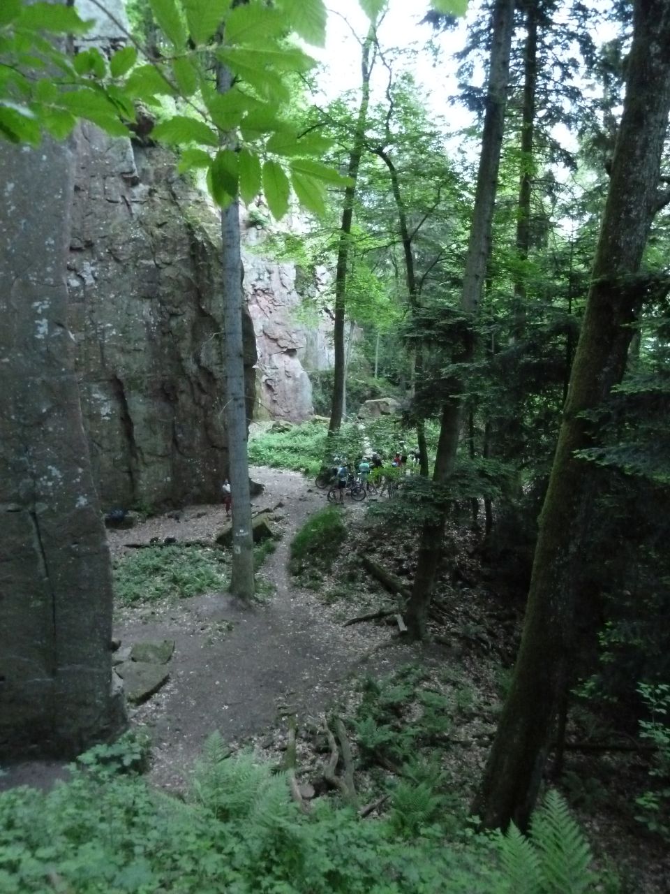
Westhalten - couvent St Marc - carrières de Gueberschwihr - "Truchsess" - borne jaune - Firstplan - Soultzmatt - Westhalten
 |
 |
 |
 |
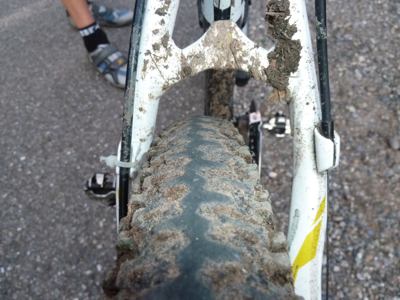
30 pictures (G Photo) June 09, 2011
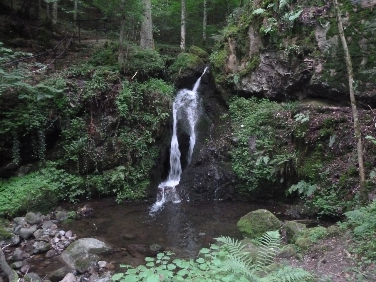
"cascade du Bubalafels"
17-15°C 63-59°F30 km 19 miles, 2h30 Elev.Gain 880 m 2900 feet
9 MTB (Christophe, Claude, Denis, Fabien, Franck, Georges, Michel, Thierry, Yves)
Thann - Willer sur Thur - chemin du Altrain - cascade du Bubalafels - Blaufels - Bitschwiller les Thann - Thann
 |
 |
 |
 |
36 pictures (G Photo) - the video
"descente, montée, ... un peu de tout" Youtube (2:57)
May 26, 2011
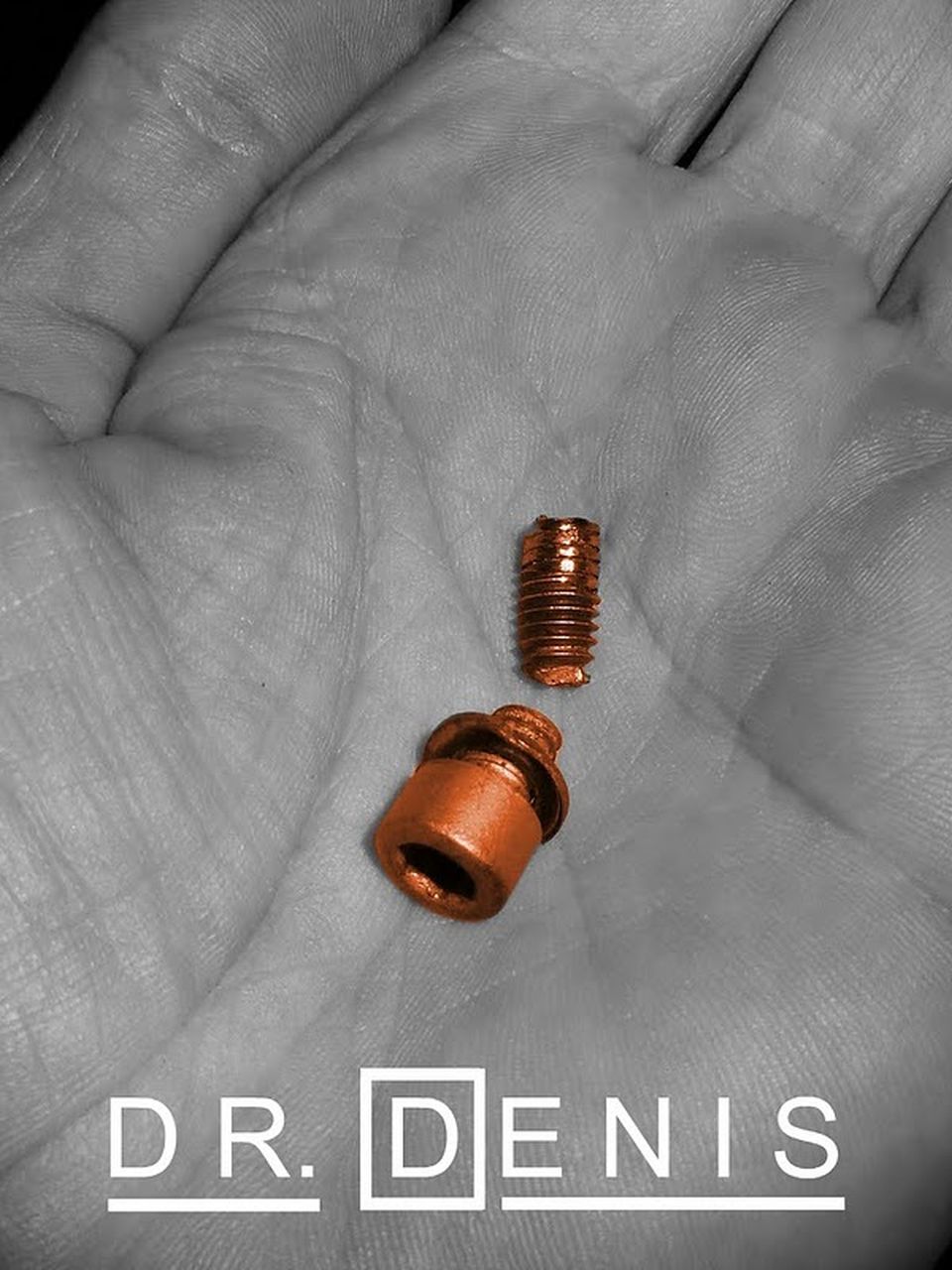
"Dr Denis"
24-17°C 75-63°F35 km 22 miles, 2h00 Elev.Gain 910 m 3000 feet
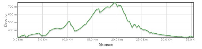
15 MTB (Alain, Bernard, Christian, Christophe, Claude, Denis, Jean, Julien, Michel, Thierry, Thomas, Vincent, Yves ...)
Schweighouse-Thann - Michelbach - le Rantz - Bourbach-le-Bas - Bourbach-le-Haut - Krastkopf - Hochburg - Weierlé - Thann - Leimbach - Aspach-le-Haut - Aspach-le-Bas - Schweighouse-Thann
 |
 |
 |
 |
54 pictures (G Photo) - the video
"groupe" Youtube (0:56)
May 19,2011
"26 maxi"
 24-19°C 75-66°F
26 km 16 miles, 2h00 Elev.Gain 830 m 2700 feet
26 MTB (Alain, Bernard, Bertrand, Christian, Christophe, Claude, Denis, Fabien, Franck, Georges, Gérald, Jean, Julien, Jean-Claude, Jean-Luc, Laurent, Luc, Michel, Pascal, Sébastien, Thierry, Thomas, Yves ....)
Cernay (Espace Grun) - Steinbach - Waldkapelle (alt. 576m) - Kattenbachrunz - Waldkapelle - Thann (Croix du Rangen) - Bruderthal - Steinbach - Cernay
 |
 |
 |
 |
40 pictures (G Photo) - the video
"26" Youtube (2:26)
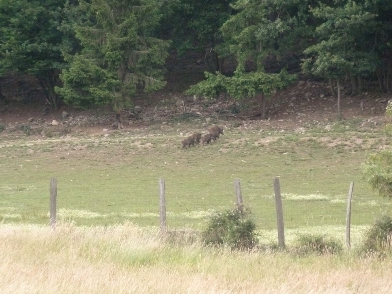
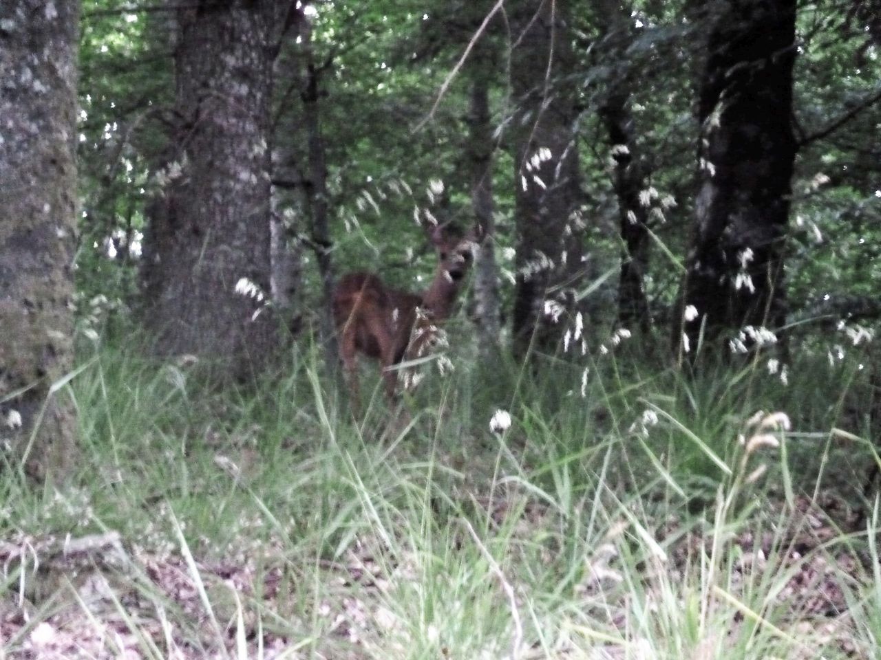
May 12, 2011
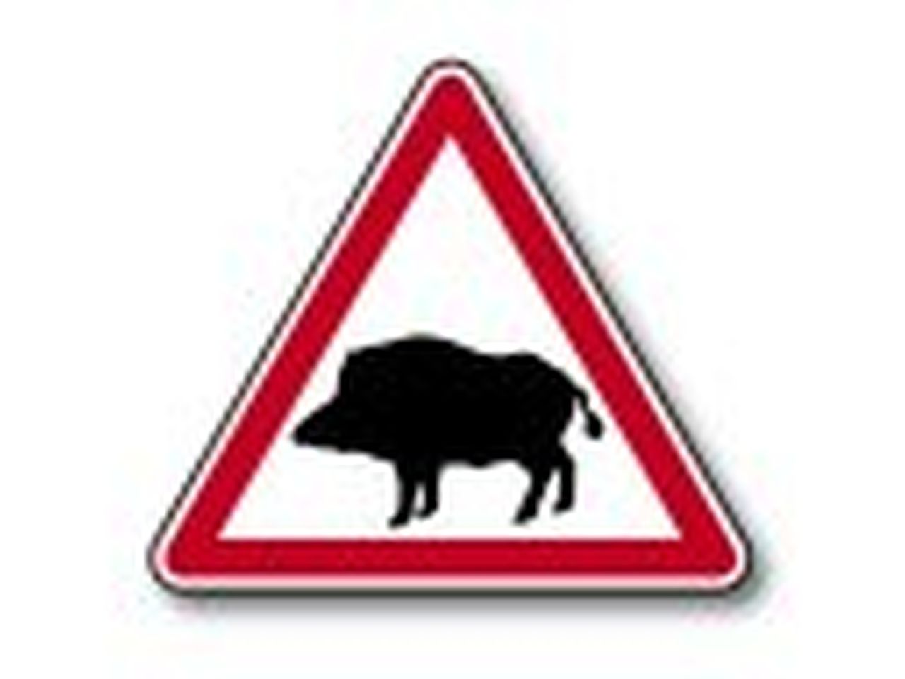
"boars and menhir (sangliers et menhir)"
19-17°C 66-63°F33 km 20 miles, 2h10 Elev.Gain 800 m 2600 feet
15 MTB (Alain, Christian, Christophe, Denis, Eric H., Fabien, Gérald, Gilles, Jean, Jean-Luc, Michel, Pascal, Romuald, Thierry, Thomas)
Guebwiller (6:30PM) - Val du Patre - Gauchmatt - the menhir (le menhir) - rocher du Grossfels - Soultzmatt - Westhalten- Orschwihr - Bergholtz-Zell - Guebwiller (21h15)
 |
 |
 |
39 pictures (G Photo) Bollenberg ....
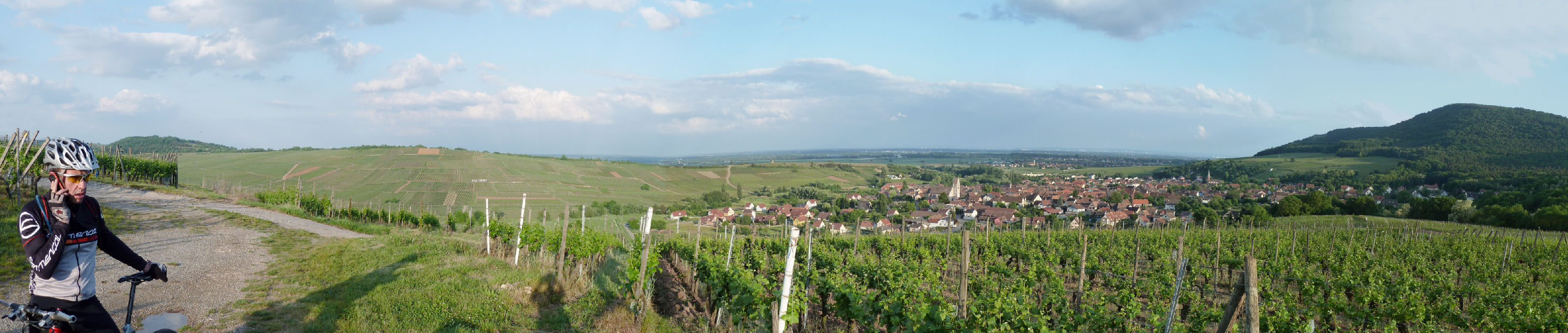 (3200x680)
- the video
"sangliers et menhir" Youtube (2:10)
May 05, 2011
"dust"
24-14°C 75-57°F24 km 15 miles, 1h40 Elev.Gain 760 m 2500 feet
18 MTB (Bernard, Christian, Christophe, Daniel, Eric H., Franck, Georges, Gilles, Jean, Jean-Claude, Jean-Luc, Julien, Michel, Pascal, Romuald, Sébastien, Thierry, Thomas)
2 runners (Dominique, Didier)
Hartmannswiller 6:30PM
Wuenheimerbach - croix Zimmermann - Treffpunkt - Cantine Zeller - Hartmannswiller
 |
 |
 |
 |
39 pictures (G Photo) - the video
"Team" Youtube (0:54) 360 or 720HD
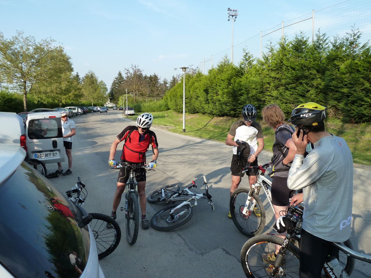
April 28, 2011
"quarry exploration"
19-17°C 66-63°F22 km 14 miles, 1h40 Elev.Gain 660 m 2100 feet
14 MTB (Alain, Bernard, 2 Christophe, Claude, Eric H., Franck, Gilles, Jean-Claude, Julien, Michel, Romuald, Stéphane,...)
Guebwiller - Croix de Mission - Bergholtz-Zell - col du Dreibannstein (#1) - carrières de Bergholtz - col du Dreibannstein (#2)- carrières de Buhl - Guebwiller
 |
 |
 |
 |
41 pictures (G Photo) April 21, 2011
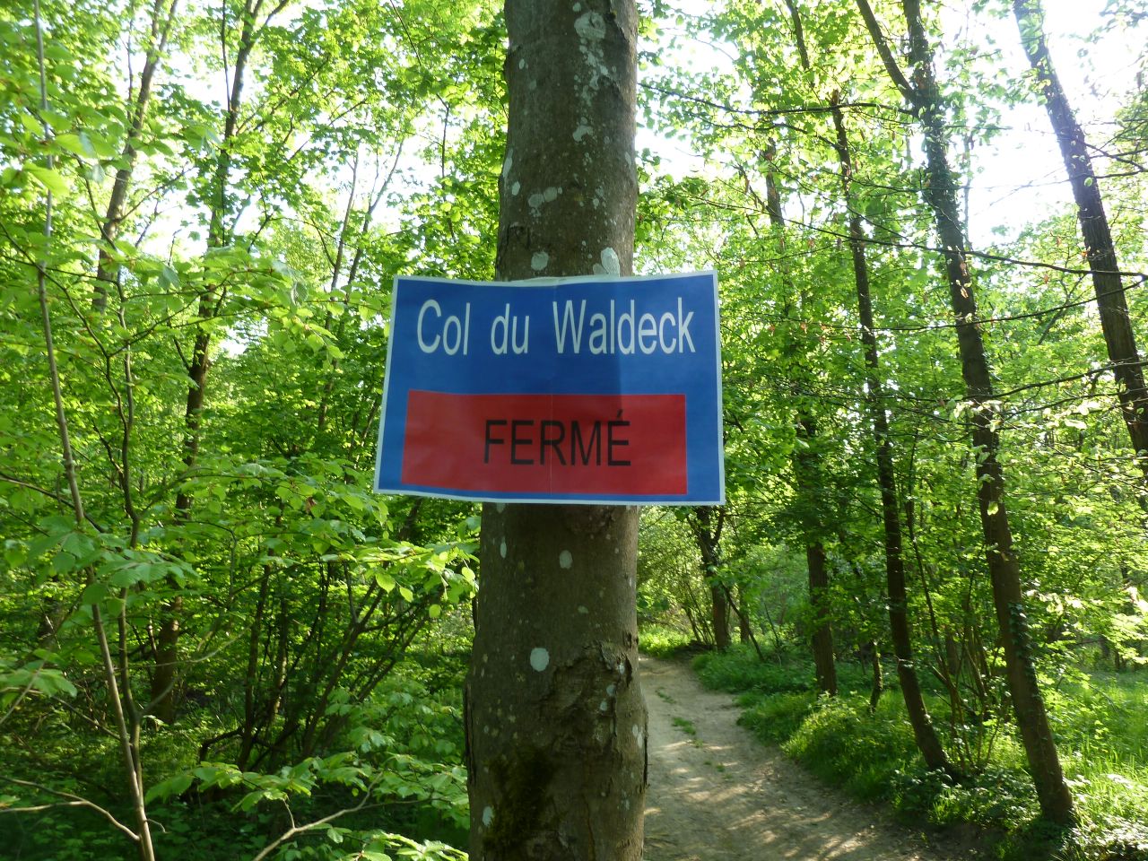
"Waldeck's pass"
25-15°C 77-59°F32 km 20 miles, 2h10 Elev.Gain 520 m 1700 feet
12 MTB (Christophe, Claude, Denis, Eric, Fabien, Gérald, Georges, Jean-Claude, Julien, Philippe, Sébastien, Thierry)
Waldeck - col du Waldeck !!? (it's a joke for Christophe) - Galgen - Illfurth - chapelle St Brice - Flaxlanden - Waldeck
 |
 |
 |
 |
32 pictures (G Photo) 