
active units: miles km °C °F
September 05, 2013
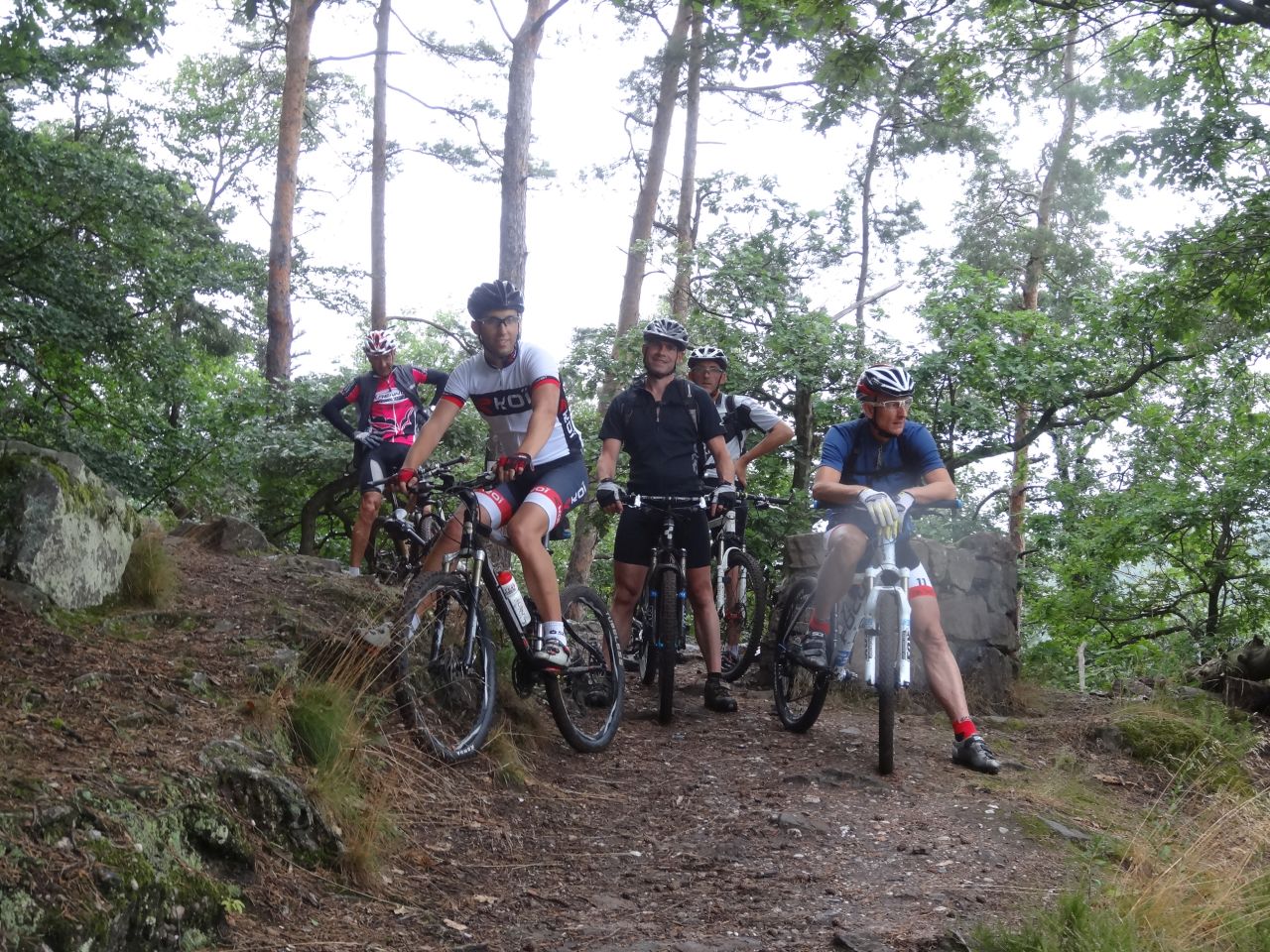
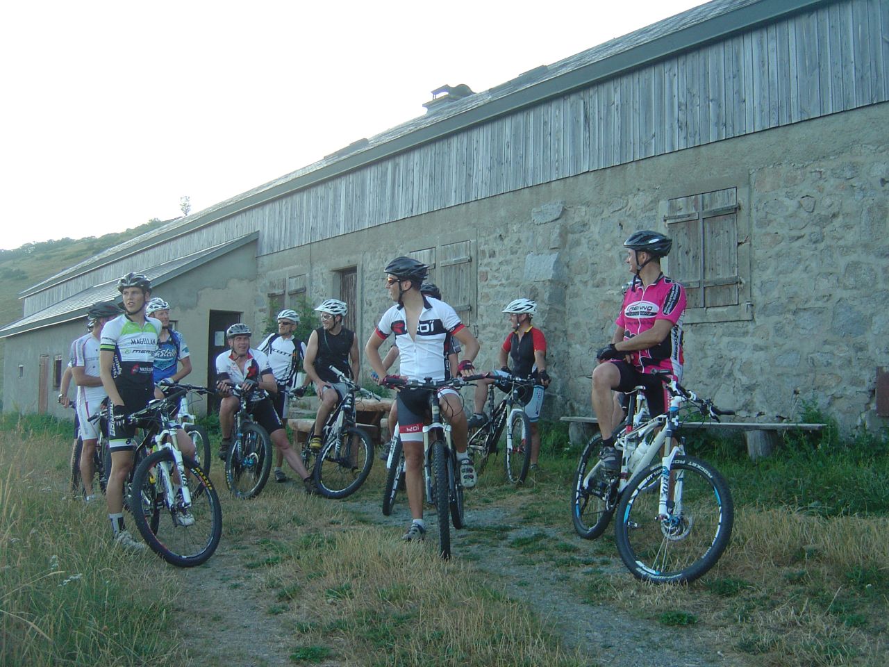
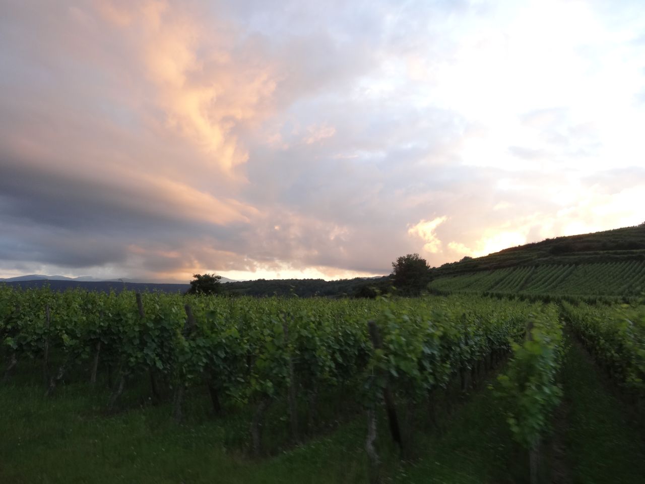
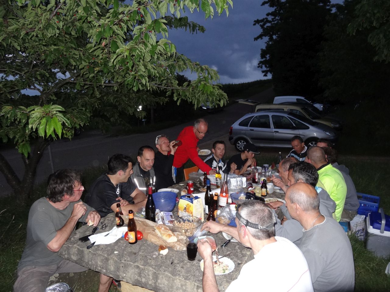
"A lot of people for the last one"
 29-21°C 84-70°F
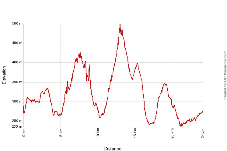
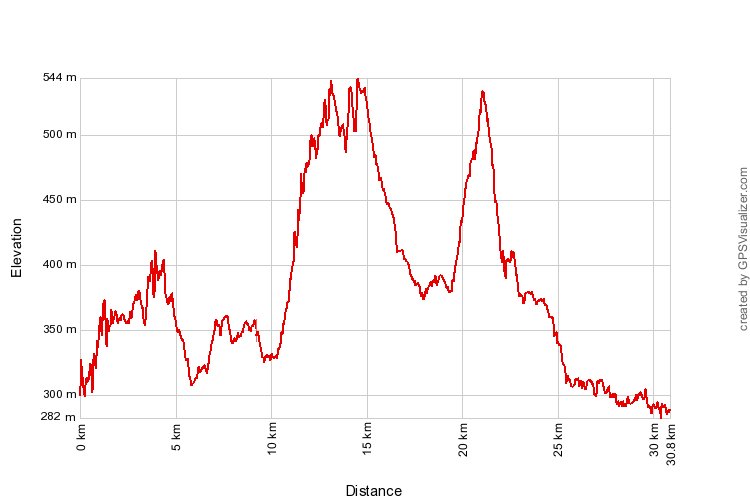
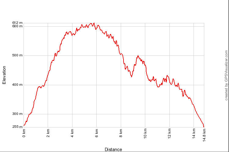
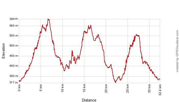
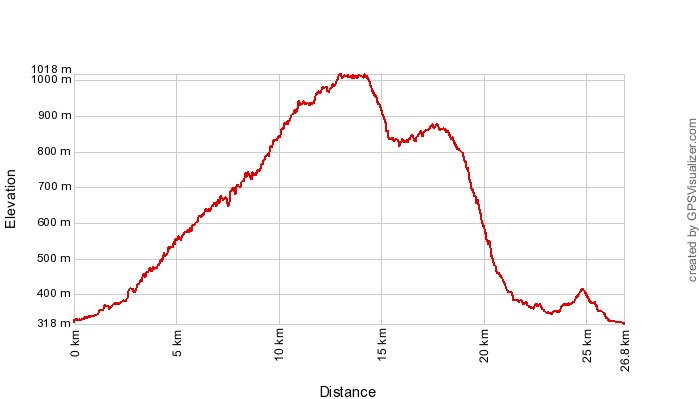
24 km 15 miles, 2h00 Elev.Gain 600 m 2000 feet
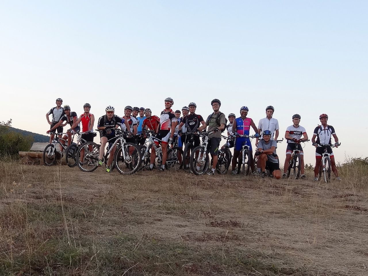
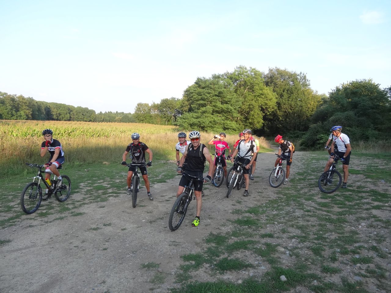
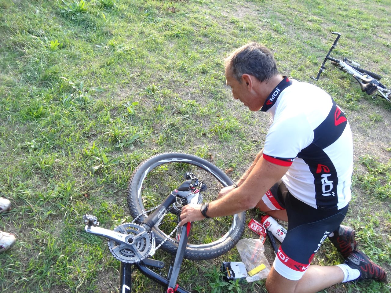
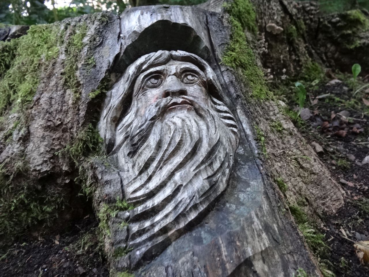
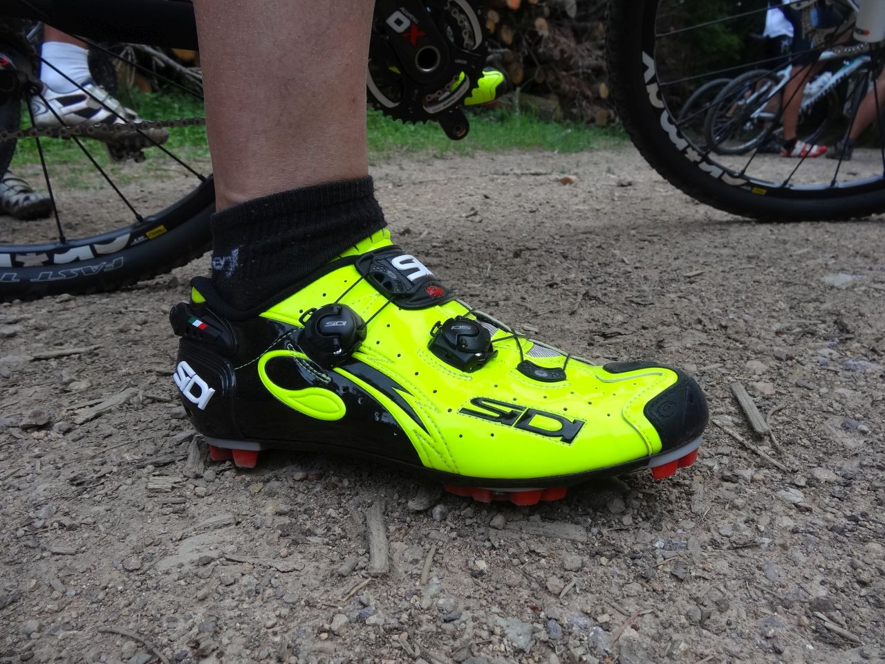
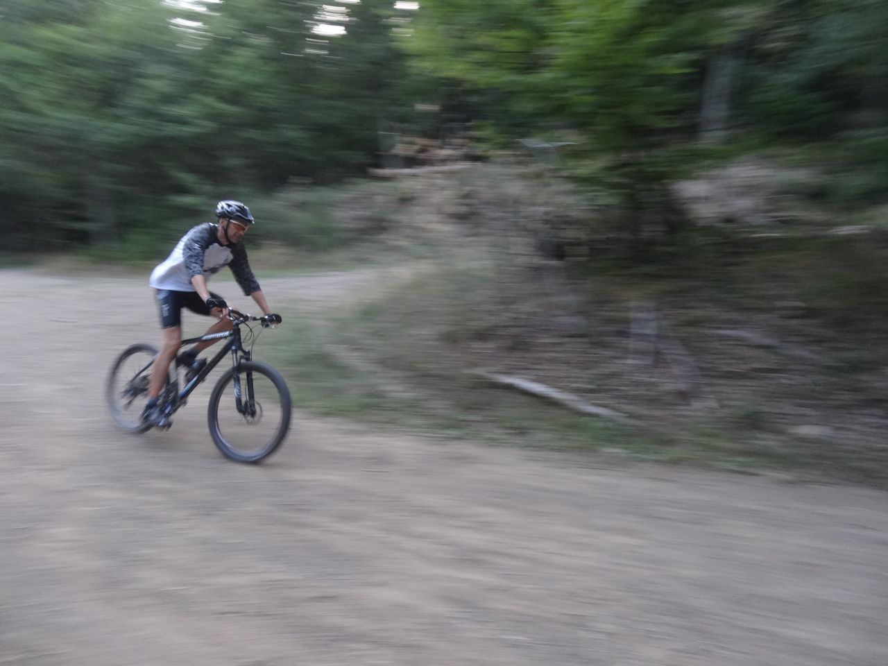
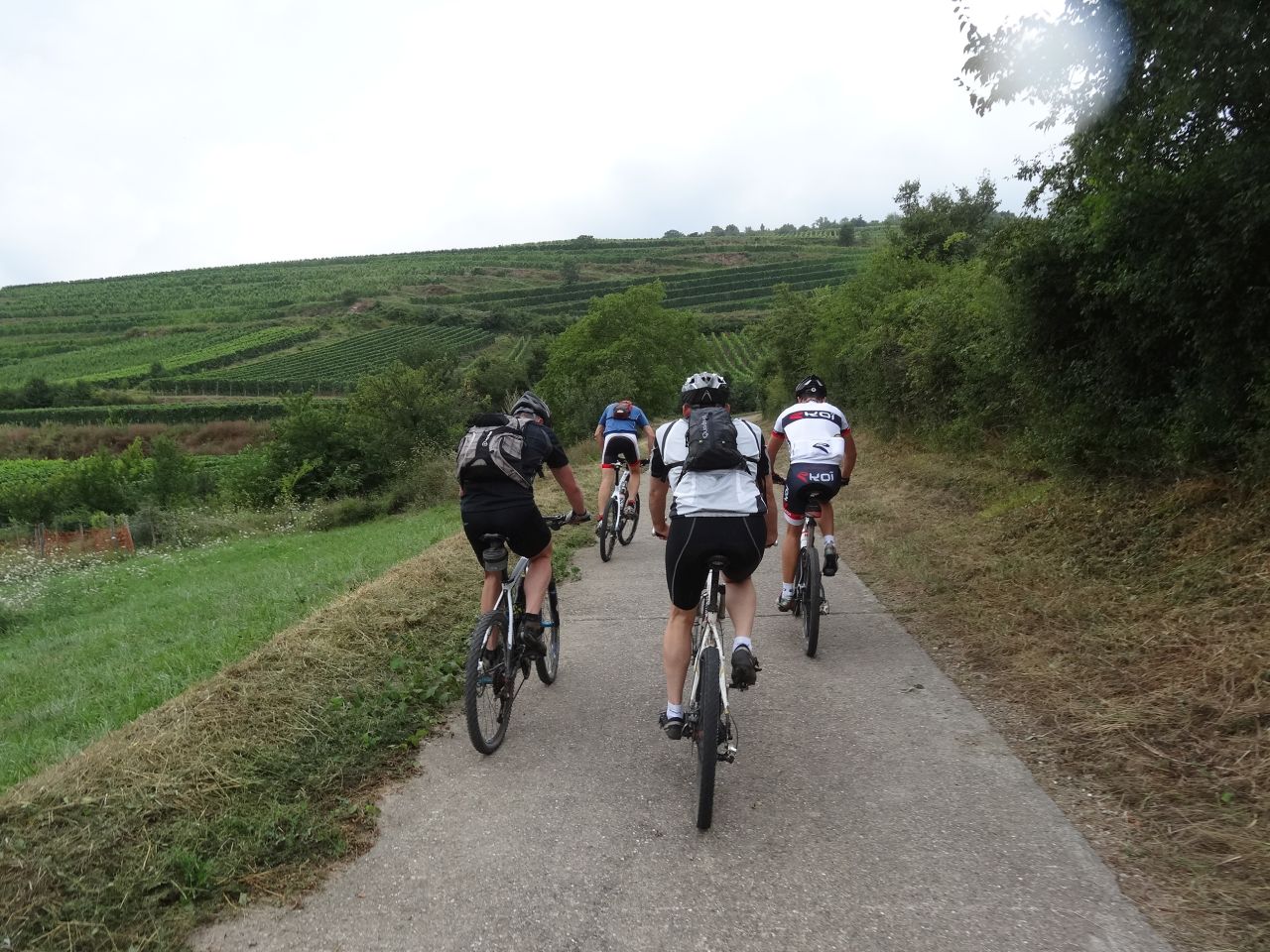
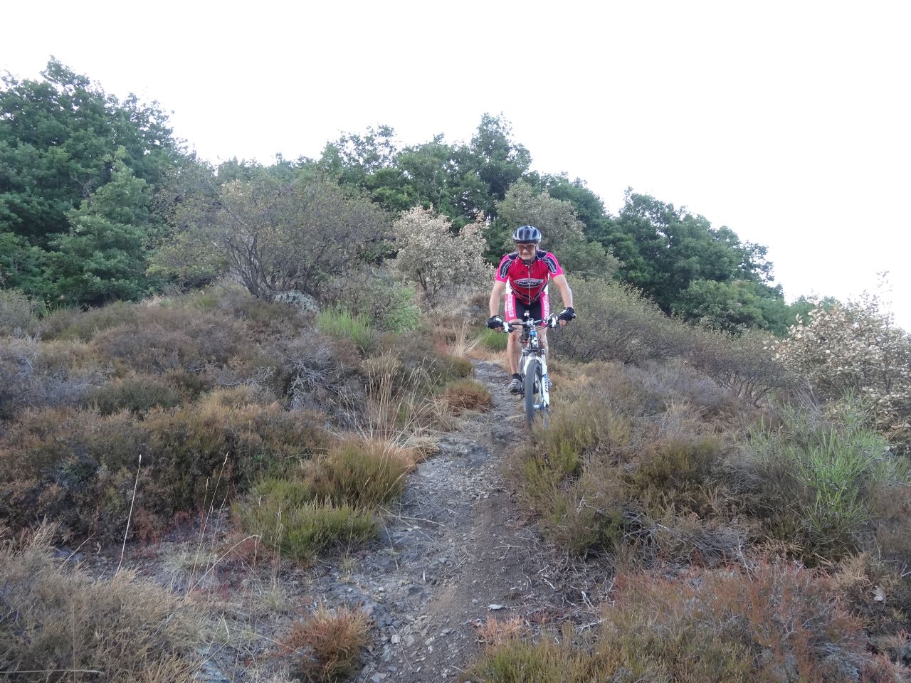
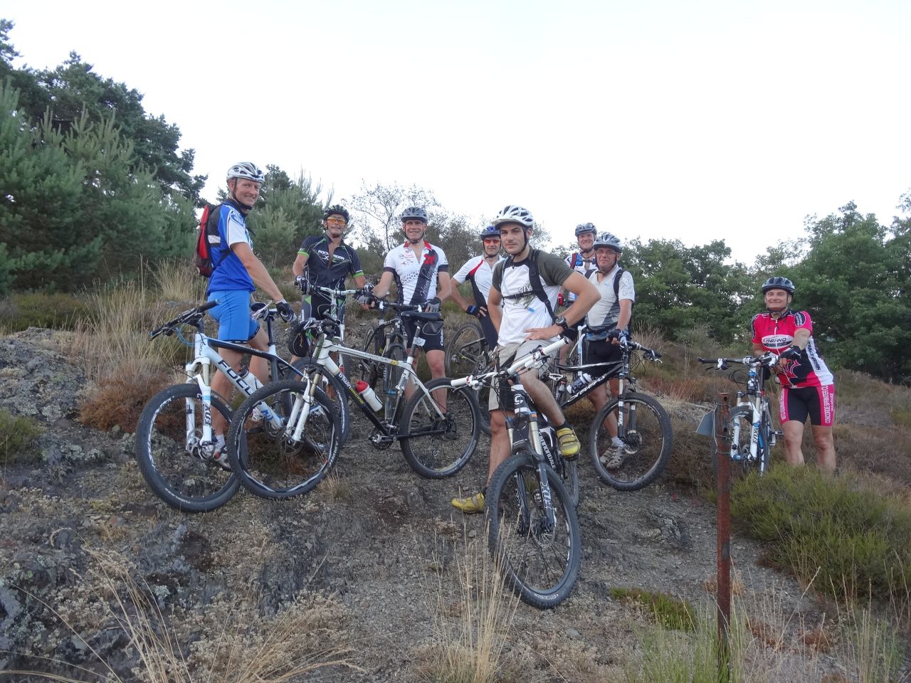
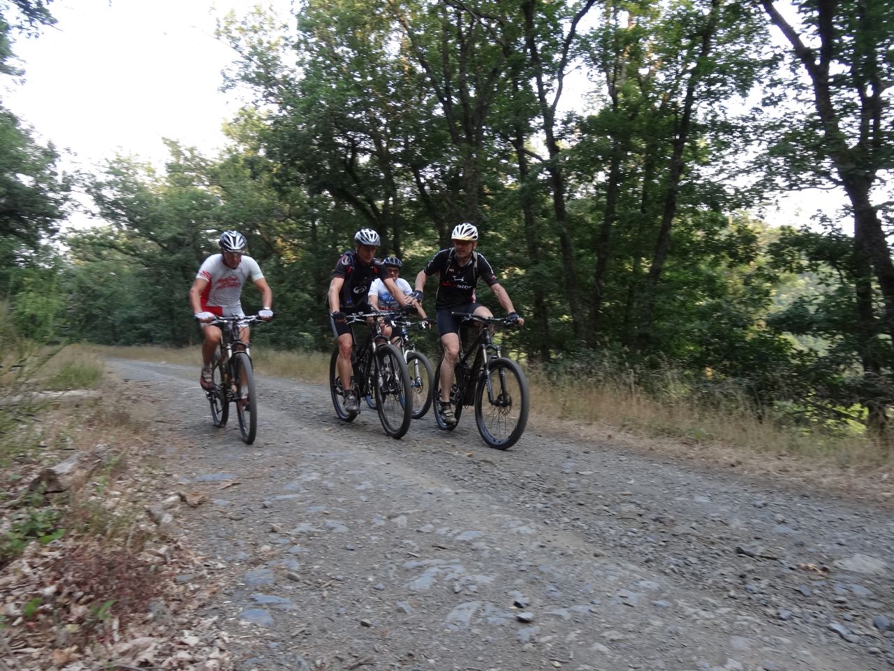
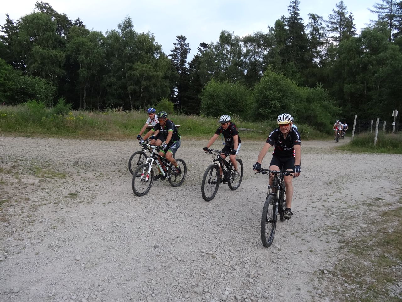
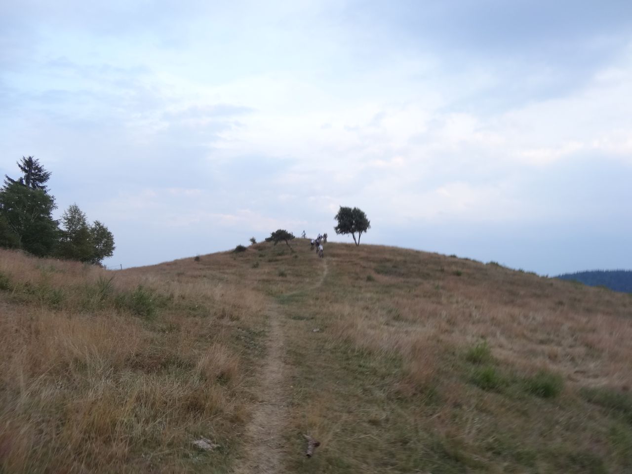
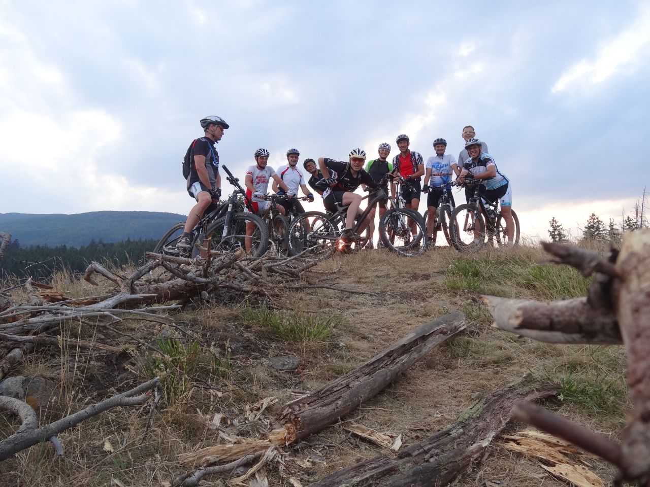
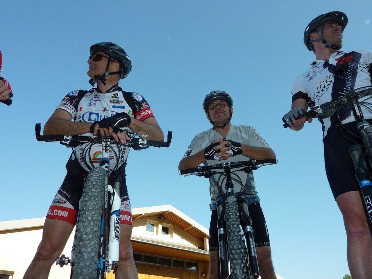
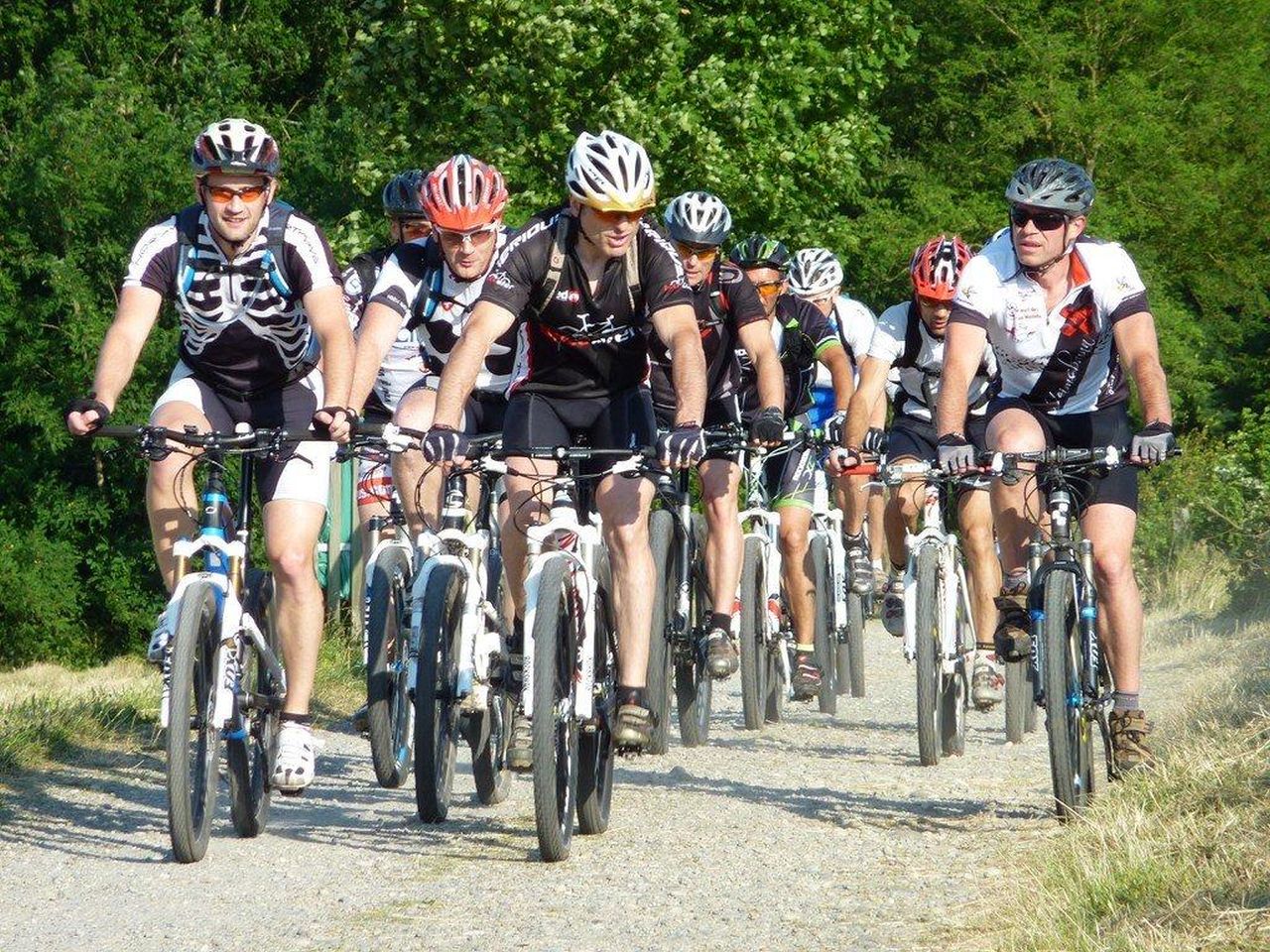
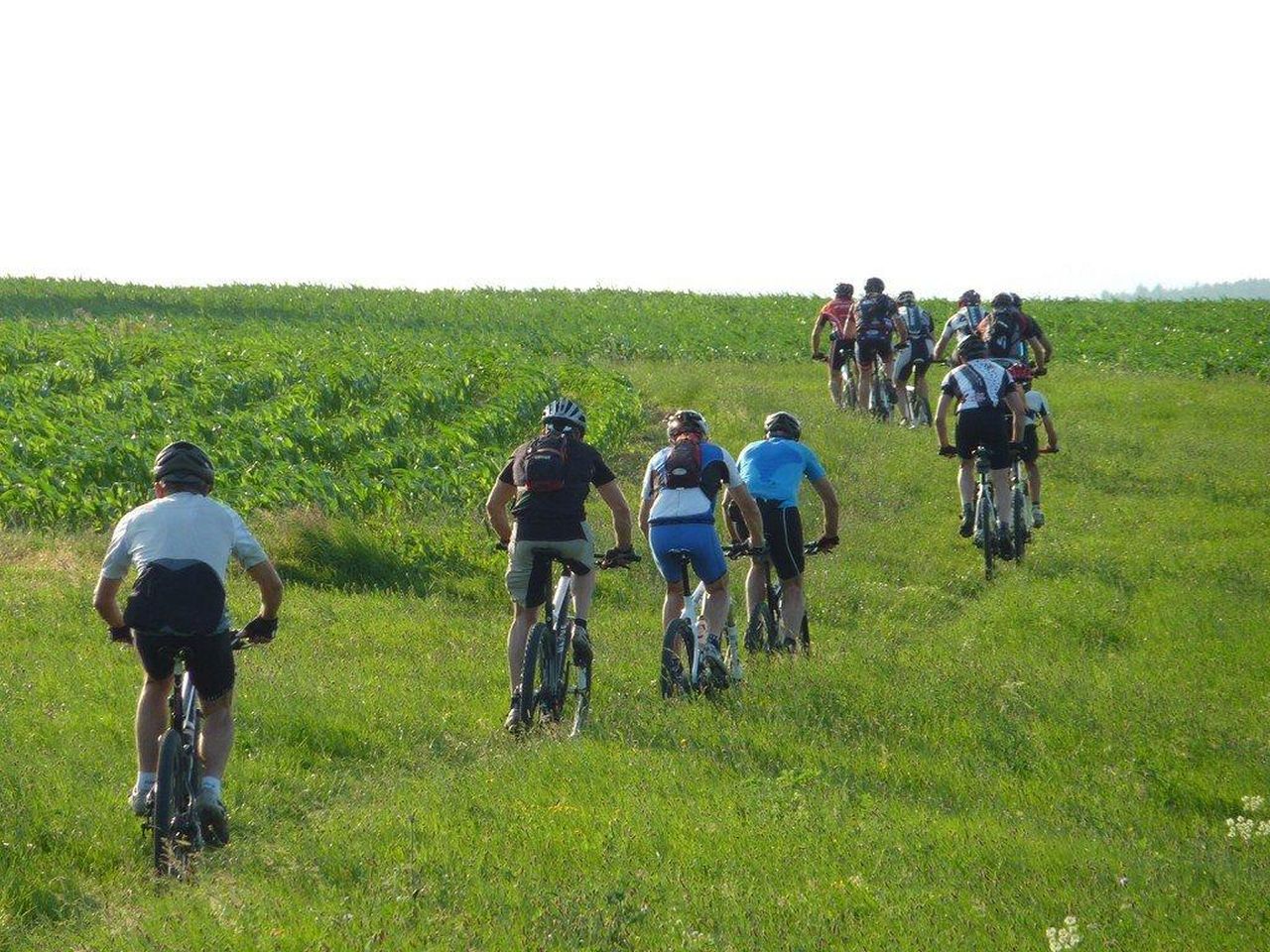
19 MTB (Alain, Belmiro, Bernard, Christophe, Claude, Denis, Gauvain, Georges, Gilles, Jean-Claude, Jean-Luc, Laurent, Luc, Michel, Romuald, Silvino, Thierry, Thomas, Yves)
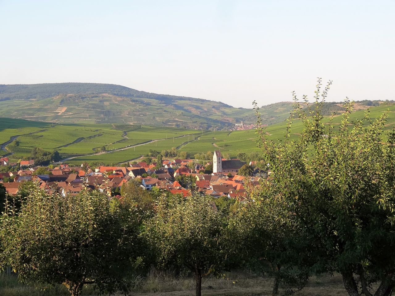
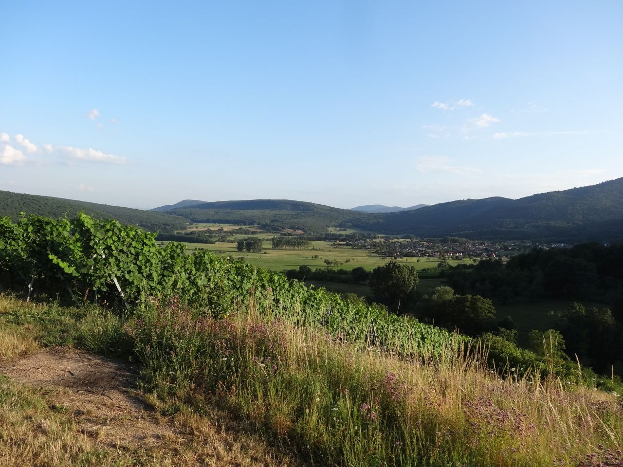
Guebwiller, Bergholtz-Zell, Orschwihr, Soultzmatt, Westhalten, Bergholtz, Guebwiller.

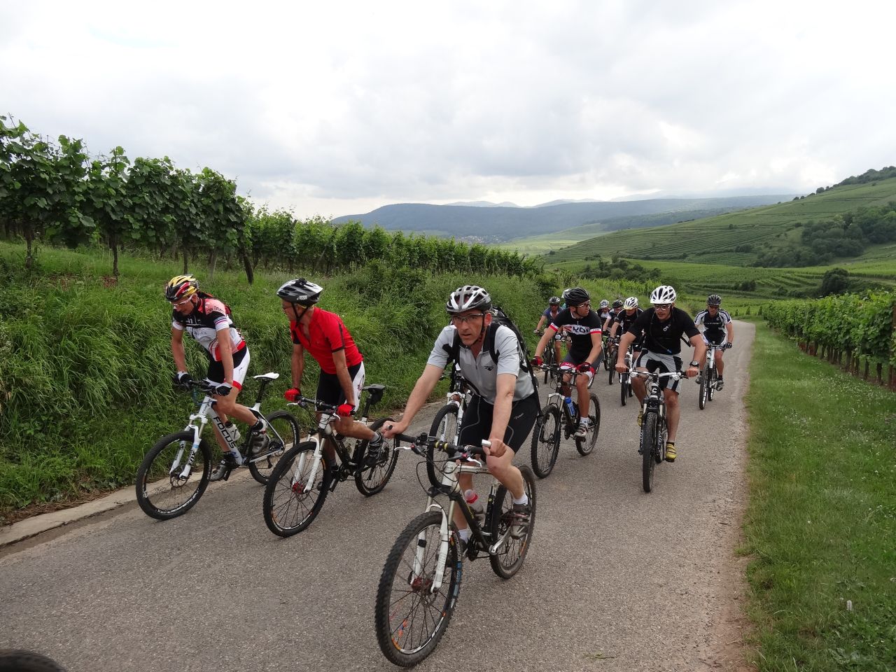
 40 pictures (G Photo)
 video
video "la dernière" Youtube (1:17)
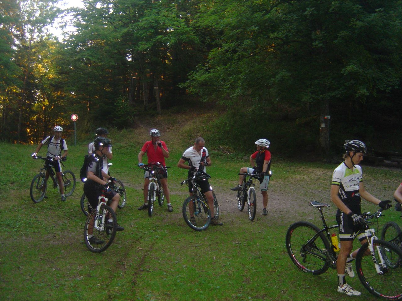
August 29, 2013
"racing"
23-19°C 73-66°F40 km 25 miles, 2h00 Elev.Gain 200 m 650 feet


13 MTB (Belmiro, Bernard, Christophe, Claude, Denis, Georges, Gilles, Jean-Claude, Laurent, Michel, Philippe, Thierry, Thomas)
Lutterbach, Reiningue, Aspach, Galfingue, Morschwiller-le-Bas, Lutterbach.
 video
video "VTT en mode course" Youtube (1:29)
August 22, 2013
"Yellow"
24-21°C 75-70°F24 km 15 miles, 2h00 Elev.Gain 600 m 2000 feet
13 MTB (Alain, Bernard, 2 Christophe, Claude, Denis, Georges, Gilles, Jean-Claude, Laurent, Michel, Thierry, Yves)
Cernay - Uffholtz - Wattwiller - vallée de Steinbach - Steinbach - Cernay.
 video
video "yellow" Youtube (1:40)
August 15, 2013
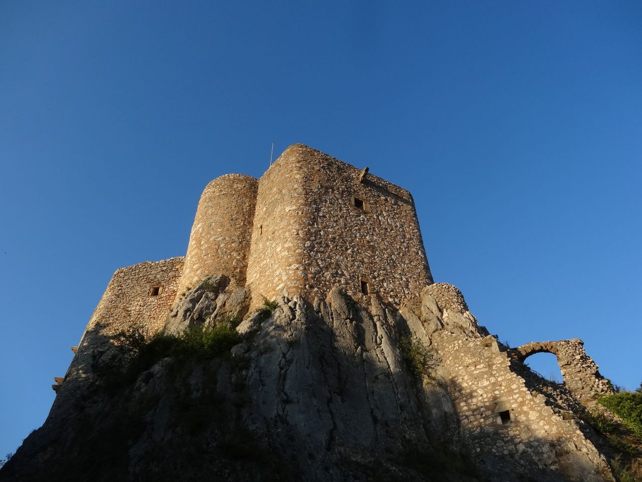
"alone at the Landskron's castle"
25°C 77°F30 km 19 miles, 2h00 Elev.Gain 450 m 1500 feet
1 MTB (Christophe)
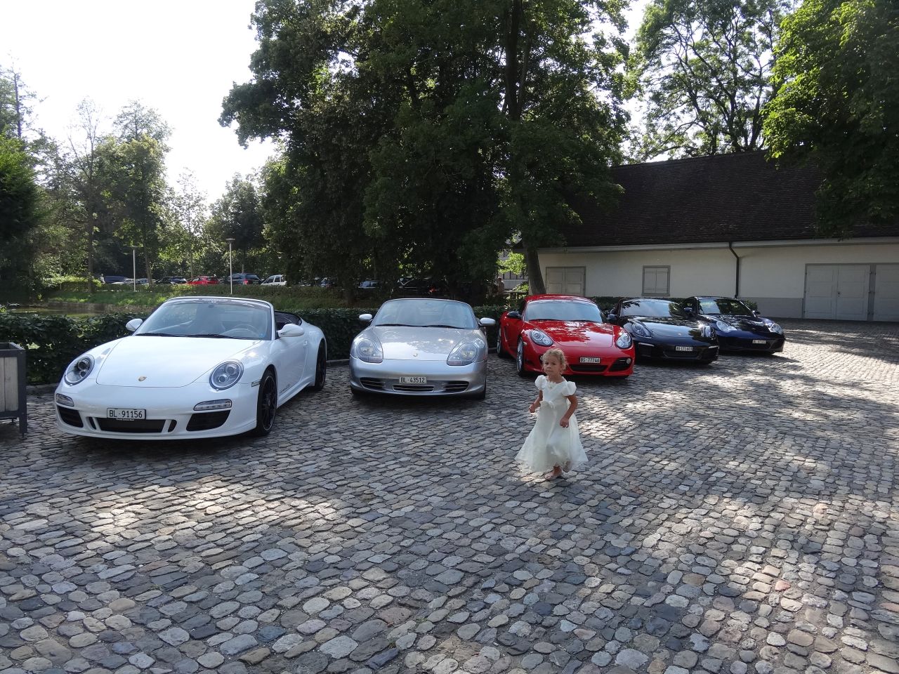
chateau de Bottmingen (CH)

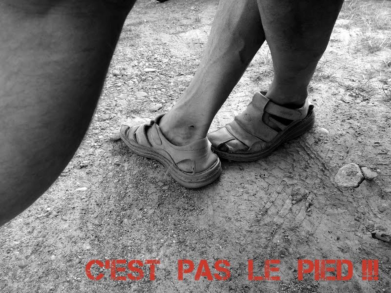
August 08, 2013
"Do you have your shower gel?"
 + 19°C 66°F
15 km 9 miles, 1h20 Elev.Gain 400 m 1300 feet
6 MTB (Claude, Christophe, Eric, Laurent, Michel, Thomas)
Westhalten - couvent St Marc - ND de Schauenberg - Westhalten

August 01, 2013
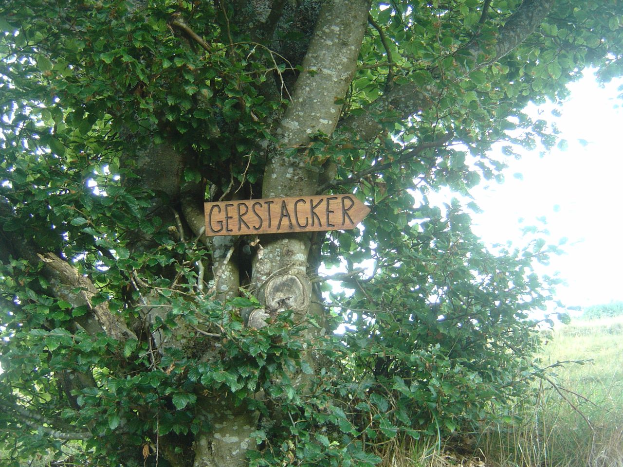
"Gerstacker"
35-28°C 95-82°F34 km 21 miles
13 MTB (Bruno, Claude, Fabien, Georges, Jean-Claude, Joël, Julien, Laurent, Michel, Oli, Stéphane, Thierry (du ZT), Thomas)
Vieux-Thann, Bitschwiller, Altenbach, Gerstacker, Sudel, Col Amic, Freundstein, Camp Turenne, Vieux-Thann
July 25, 2013
"hot evening"
32-26°C 90-79°F32 km 20 miles, 2h45 Elev.Gain 800 m 2600 feet
9 MTB (Bernard, Christophe, Franck, Georges, Jean-Claude, Joel, Julien, Laurent, Michel) + 1 candidate eliminated during the selections (Jean)
Guebwiller - Col du Bannstein - Wintzfelden - Bickenberg - Osenbach - col du Bannstein - Hochfelsen - Durrenbach
July 18, 2013
"Judenhut Ebeneck"
27-23°C 80-73°F27 km 17 miles, 2h10 Elev.Gain 900 m 3000 feet
10 MTB (Bernard, Christophe, Denis, Eric, Franck, Georges, Gilles, Jean-Claude, Michel, Thierry)
Guebwiller - Pont St Barnabé - col du Schrangen - col du Wolfsgrube - Lieserwasen - Judenhut (973m) - Glashutte - Ebeneck (859m) - Munsteraeckerle - pont St Barnabé - Buhl - Guebwiller
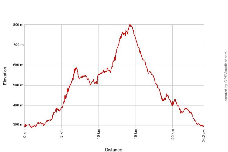
July 11, 2013
"Schweighouse-Thann"
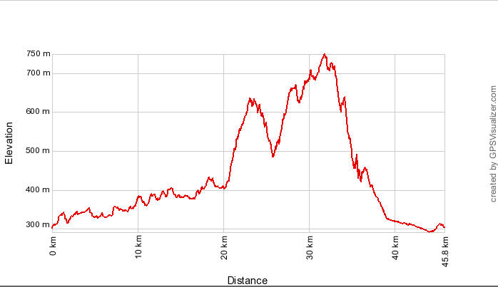
20°C 68°F45 km 28 miles Elev.Gain 900 m 3000 feet
 openrunner.com
16 MTB (Bernard, Claude, Denis, Franck, Georges, Gilles, Jean, Jean-Claude, Laurent, Michel, Philippe, Thierry, +4)
Schweighouse - lac de Michelbach - Lauw - Masevaux - Gros Chêne (553m) - col du Schirm (605m) - Krastkopf - Hochburg - Thann - Aspach
July 04, 2013
"living like a lord (la vie de chateau)"
 20-18°C 68-64°F
34 km 21 miles, 2h40 Elev.Gain 900 m 3000 feet
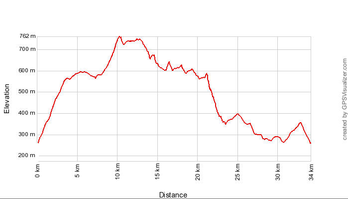
18 MTB (Bernard, Christian, 2 Christophe, Claude, Daniel, Denis, Franck, Jean, Jean-Claude, Joel, Julien, Oliver, Stéphane, Thierry, Thomas, Yves +1)
Westhalten, Gueberschwihr, Voegtlinshoffen, Stauffenmatt, Hohlandsbourg
Husseren-les-Chateaux, Voegtlinshoffen, Gueberschwihr, Westhalten
 and before?