

26/06/2014
"Michelbach"
 24-18°C
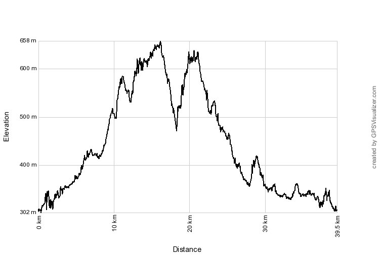
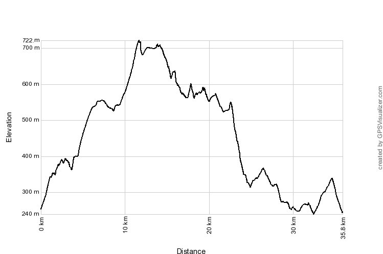
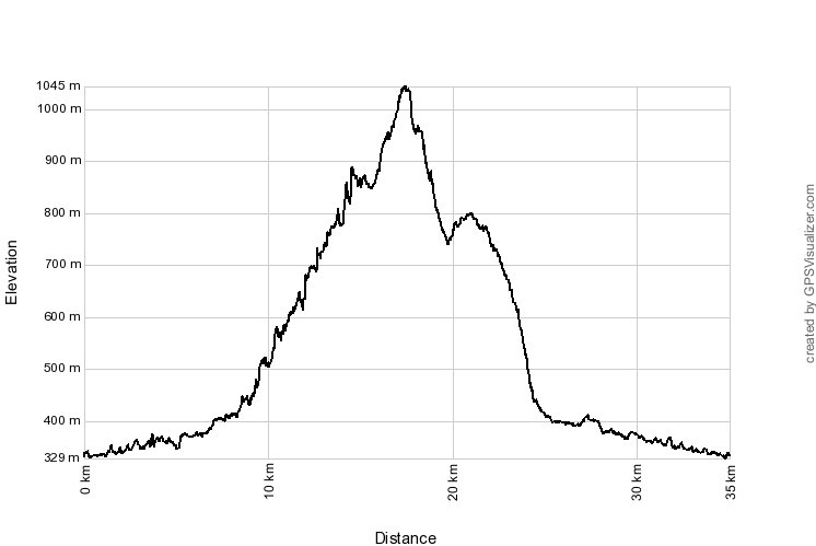
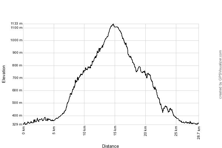
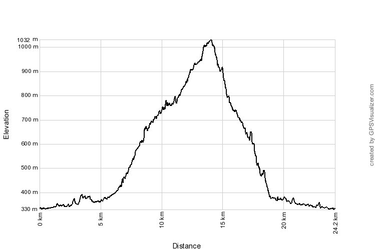
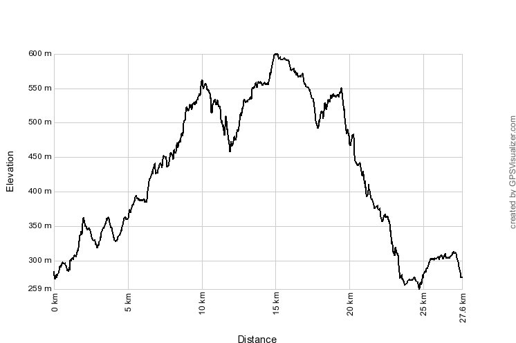
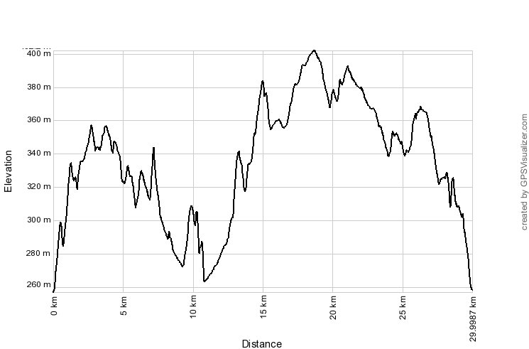
39 km, 2h55 Hm 600 m


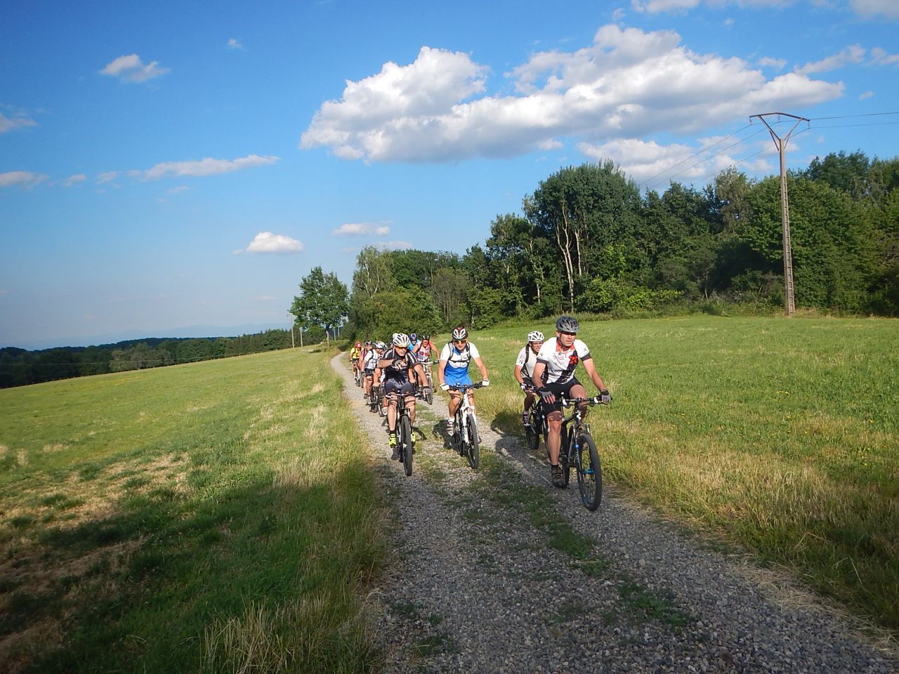
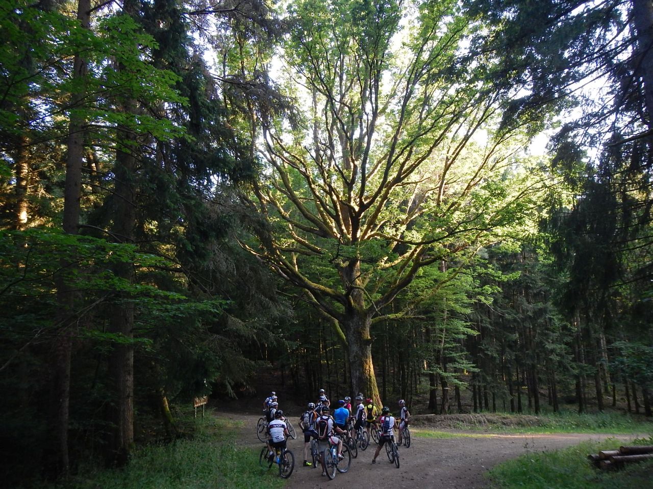
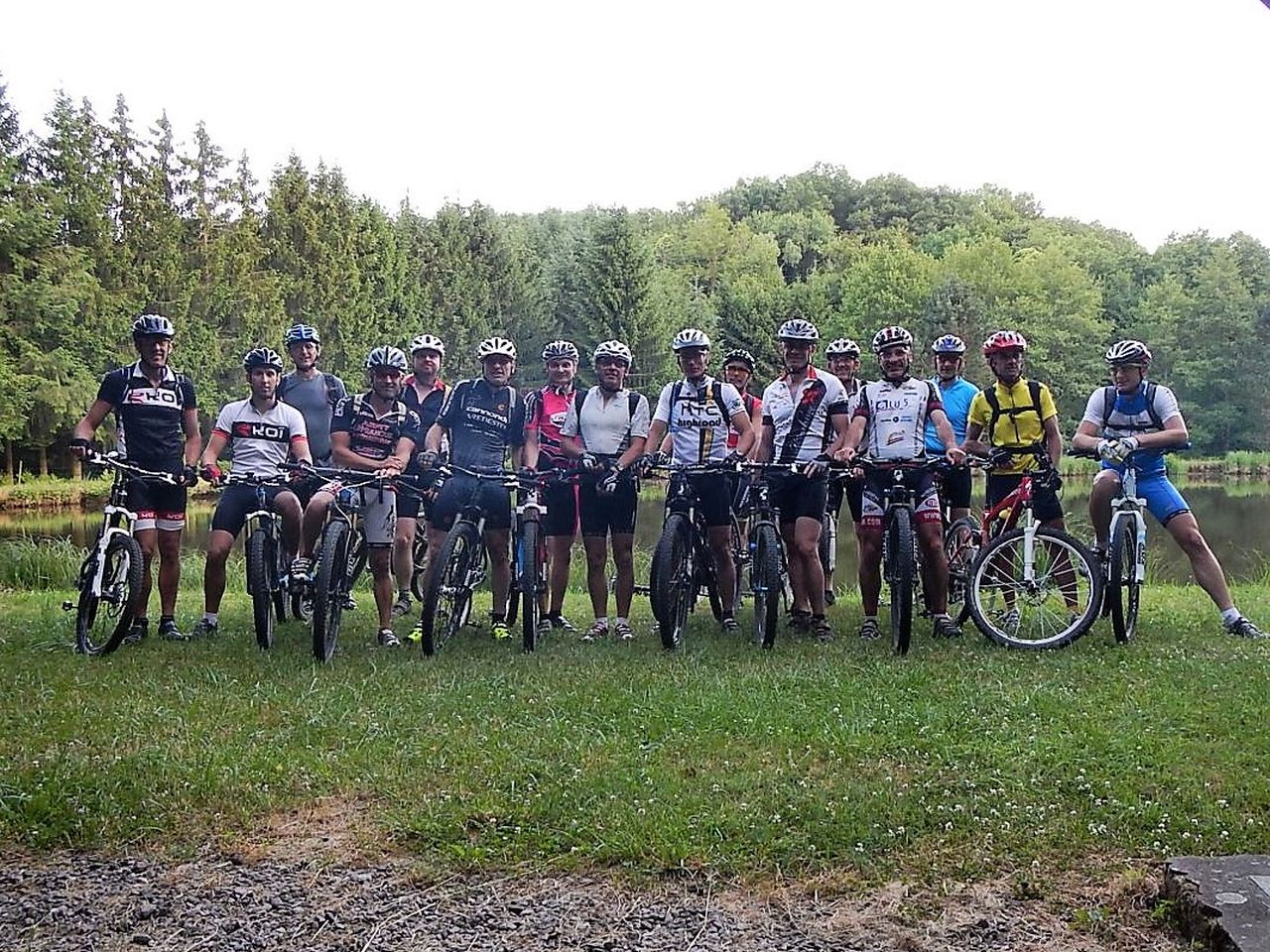
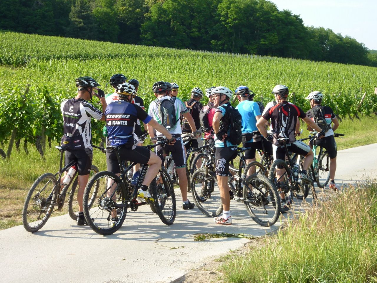
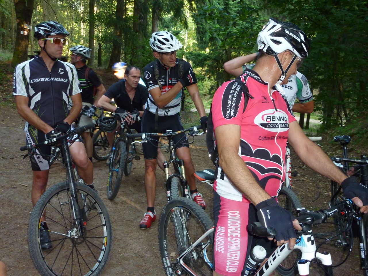
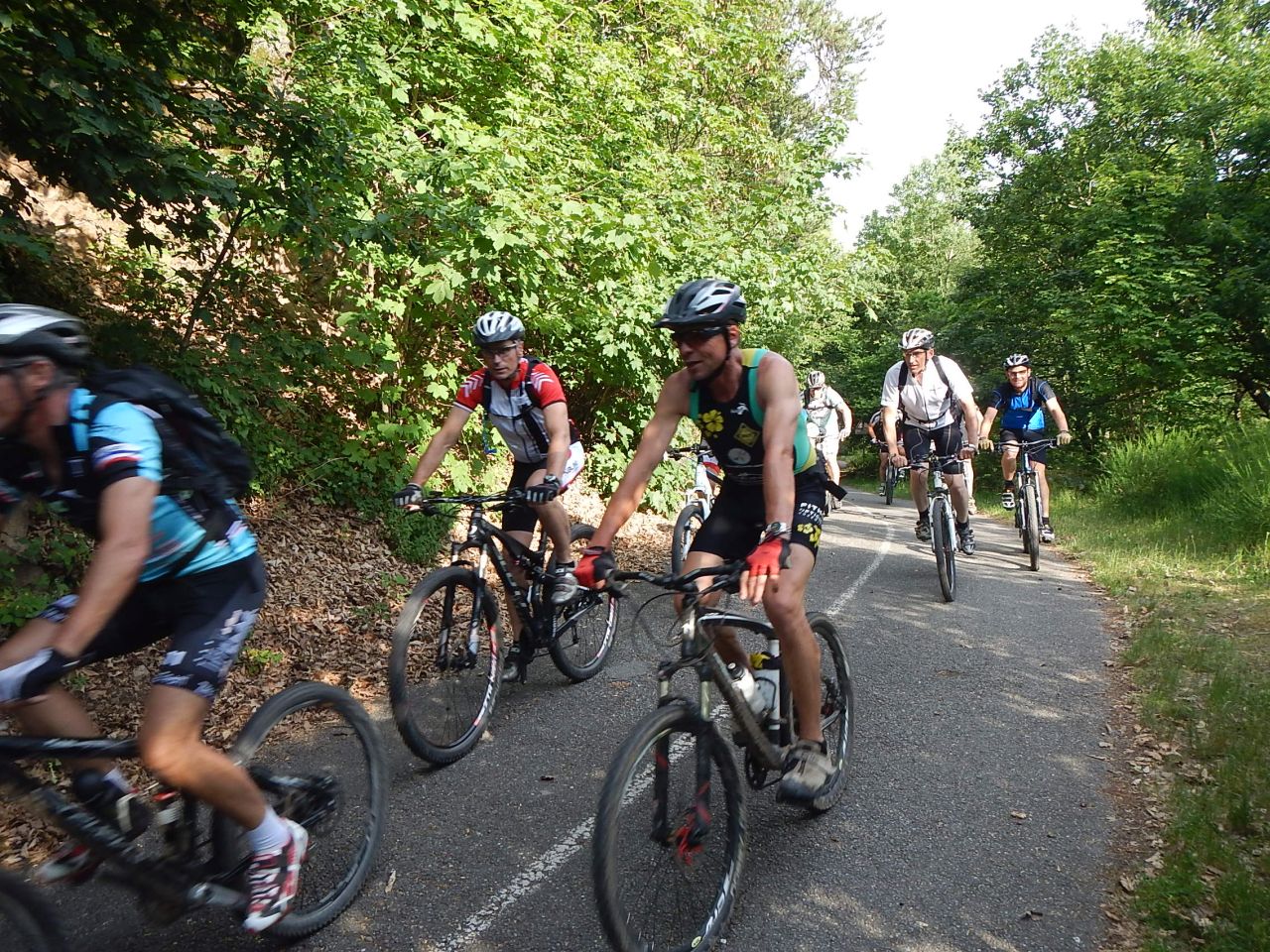
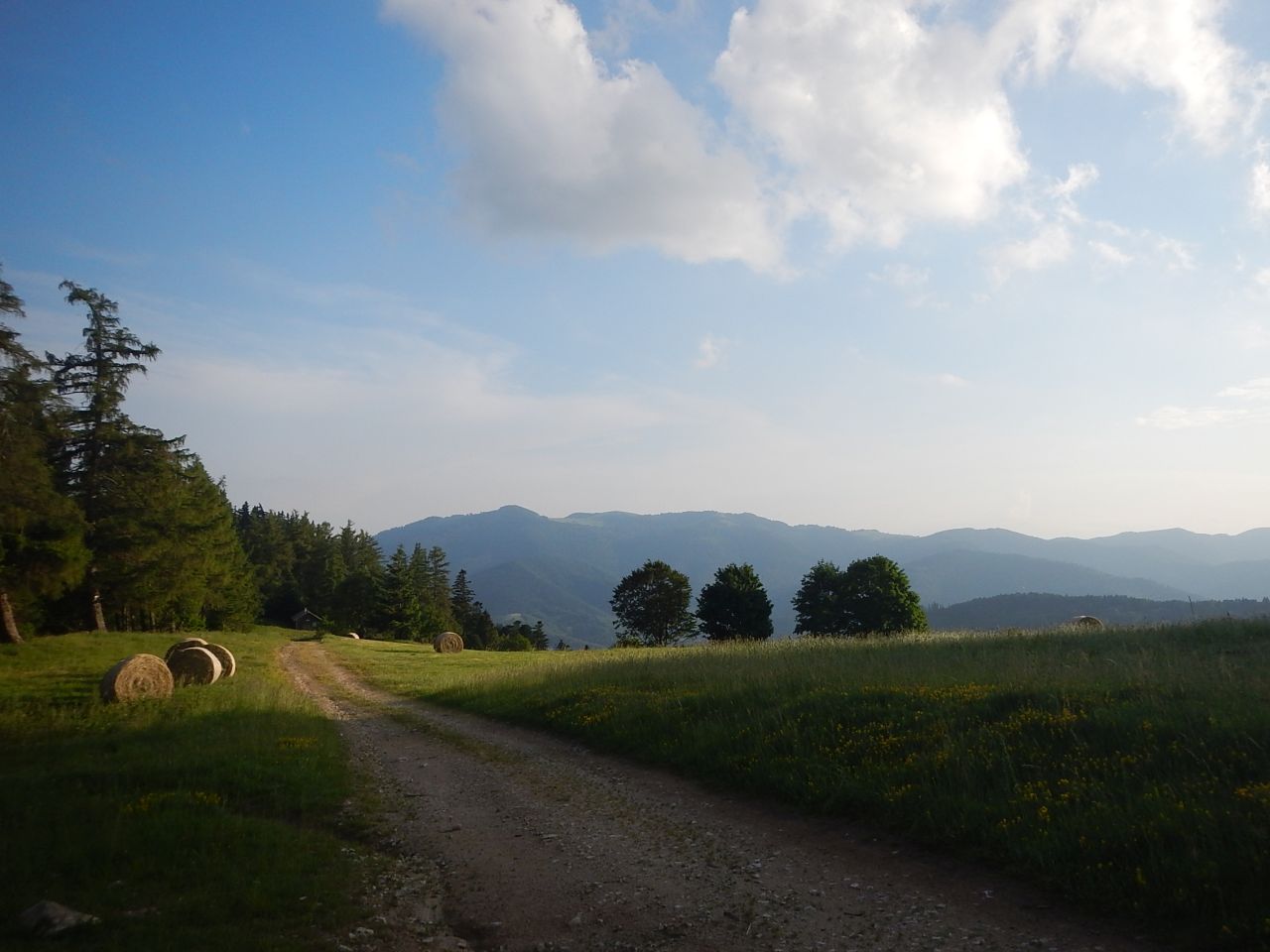
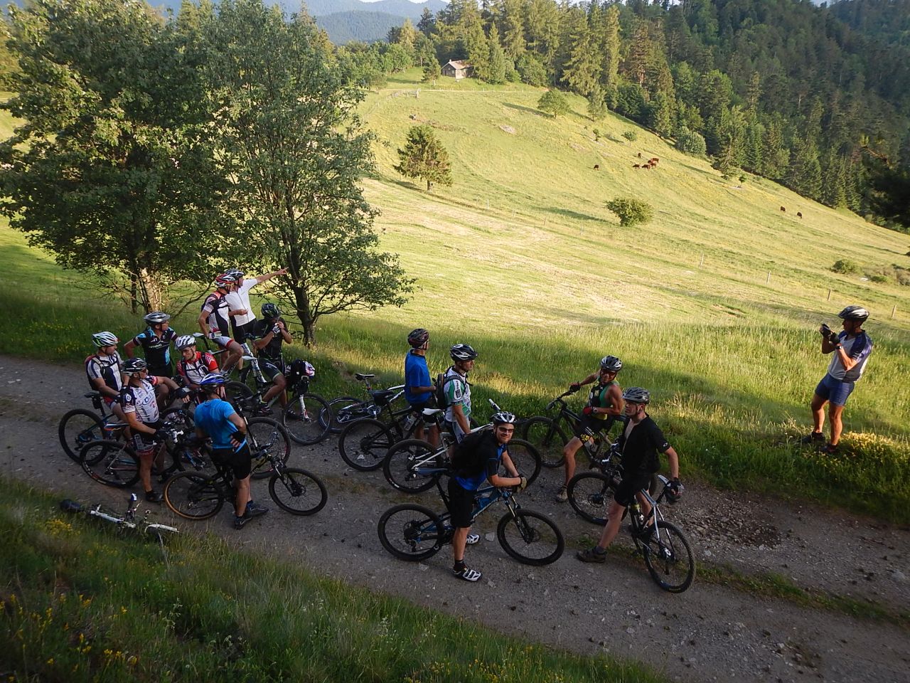
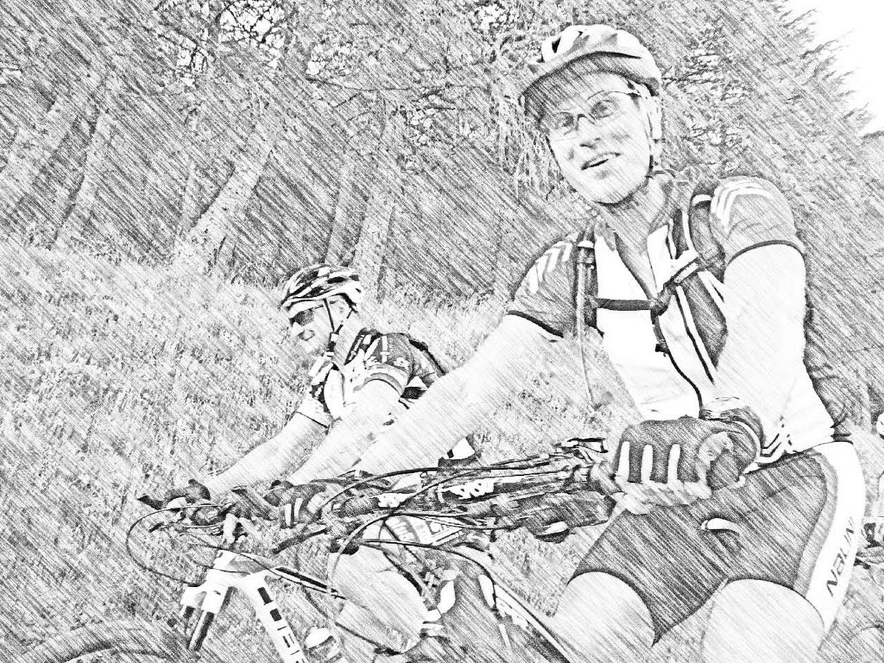
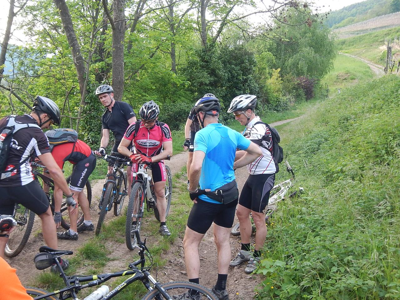
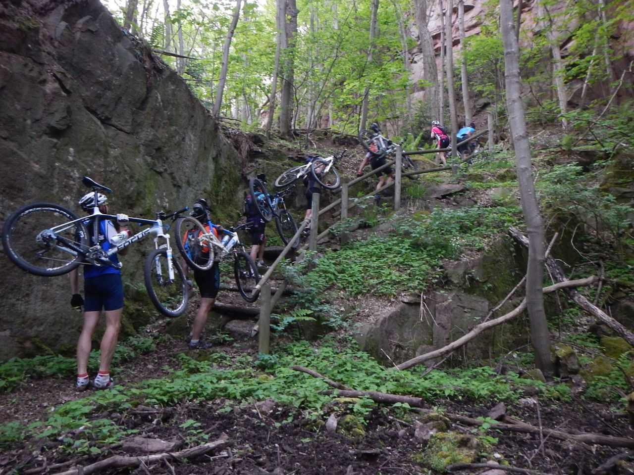
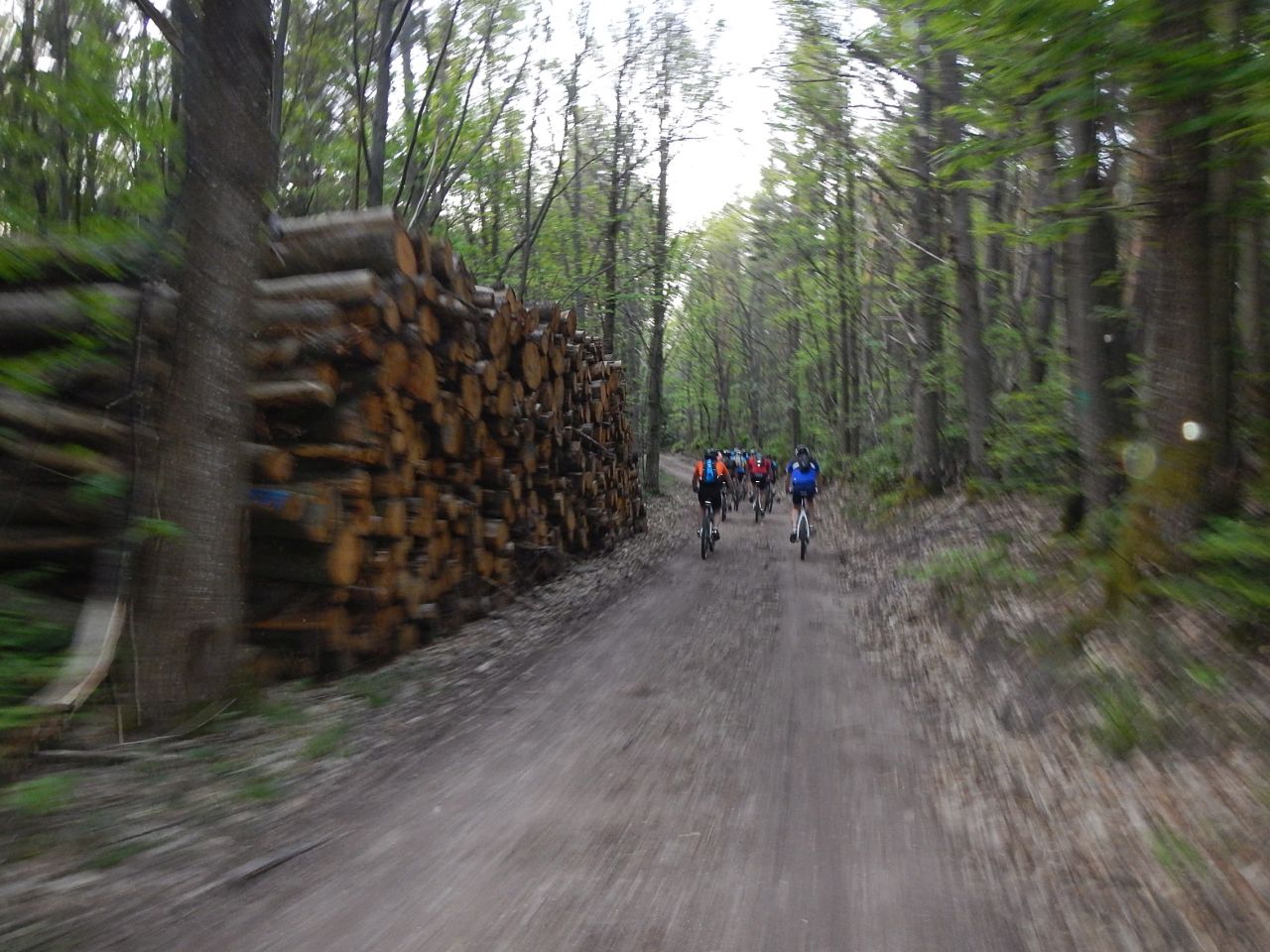
17 MTB (Bara, Belmiro, Bernard, Christophe, Claude, Denis, Daniel, Franck, Fred, Georges, Gilles, Jean-Claude, Laurent, Pascal, Michel, Thierry, Thomas)
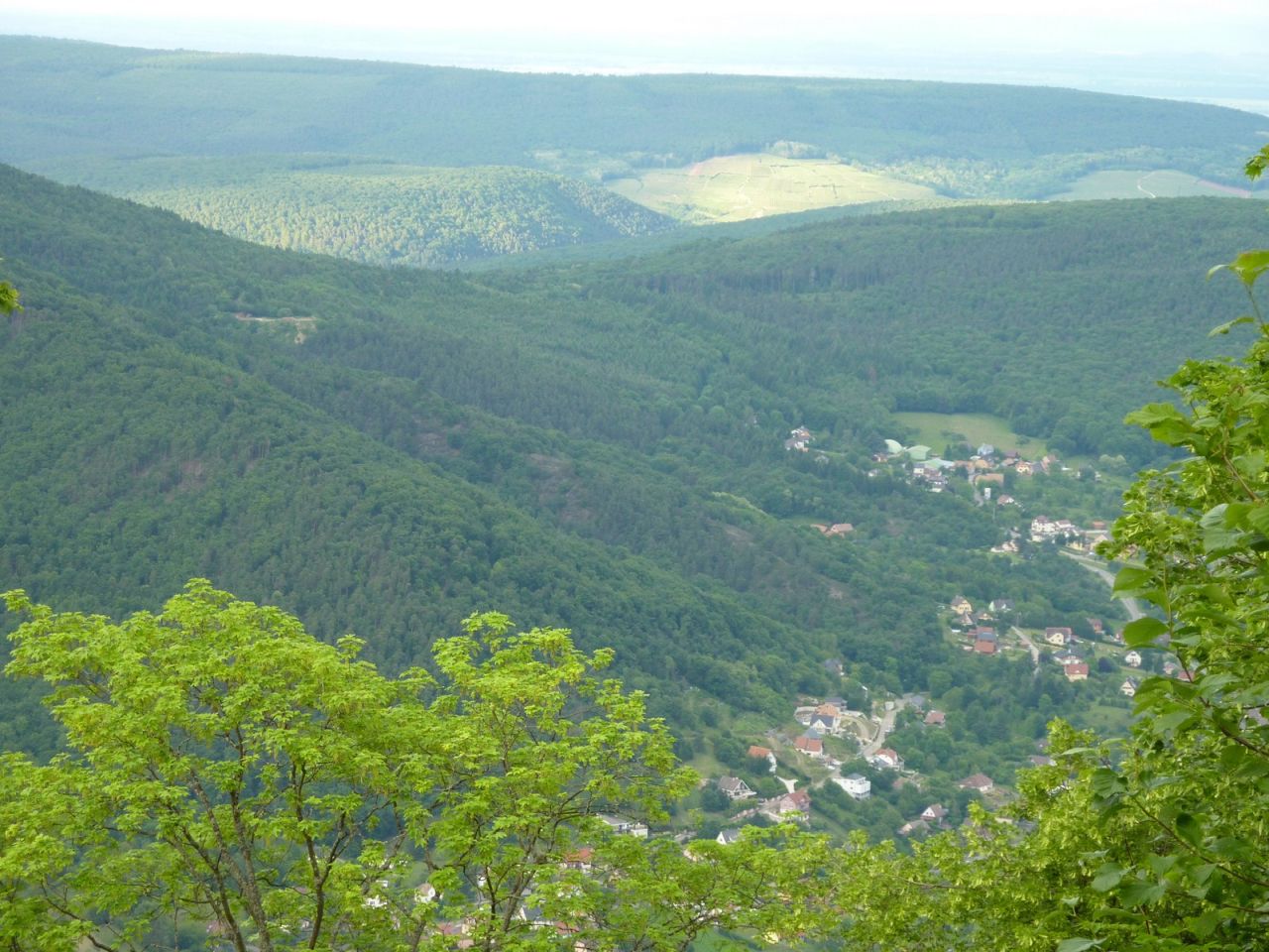
Schweighouse-Thann - Michelbach - Bourbach-le-Bas - Schirm - Sentheim - Michelbach - Schweighouse-Thann

 44 Fotos (G Photo)
19/06/2014
"chateau et table des chevaliers"
23-20°C35 km 2h45 Hm 800 m
17 MTB (Alain, Bernard, Christian, Christophe , Claude, Denis, Franck, Georges, Gilles, Jean, Jean-Claude, Laurent, Michel, Thierry, Stef, Thomas, Yves)
Westhalten - Schauenberg - Hohlandsbourg - Westhalten

12/06/2014
"Geishouse"
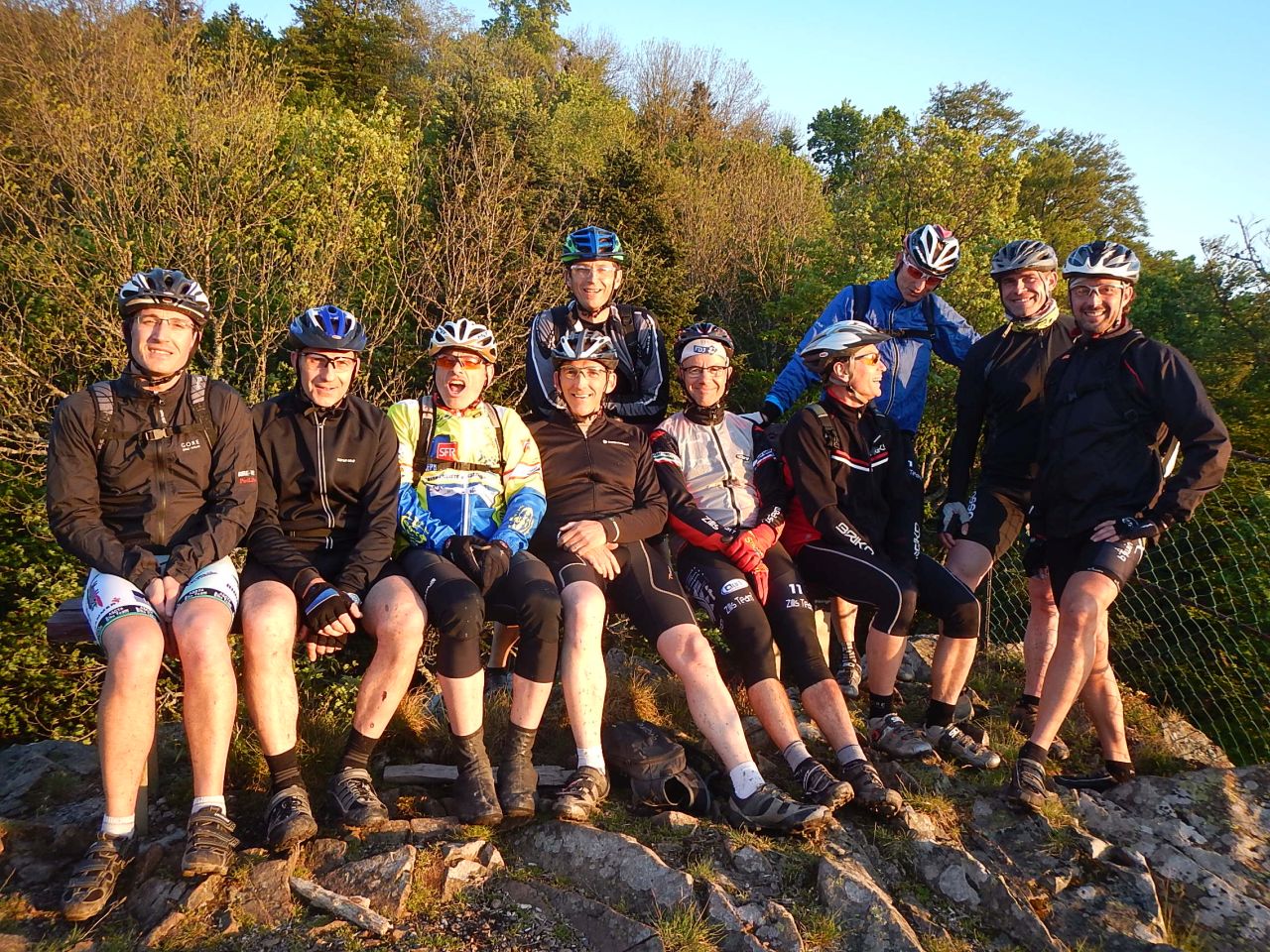
28-25°C35 km, 2h50 Hm 800 m
15 MTB (Alain, Bernard, Christian, Christophe, Claude, Daniel, Franck, Georges, Gilles, Jean-Claude, Laurent, Michel, Pascal, Simon, Thierry)
Thann - Willer sur Thur - Geishouse - Saint-Amarin - Vieux-Thann
 video
video "Geishouse" Youtube (1:27)
Kommentar:
- Danke Michel für die Zusammenfassung
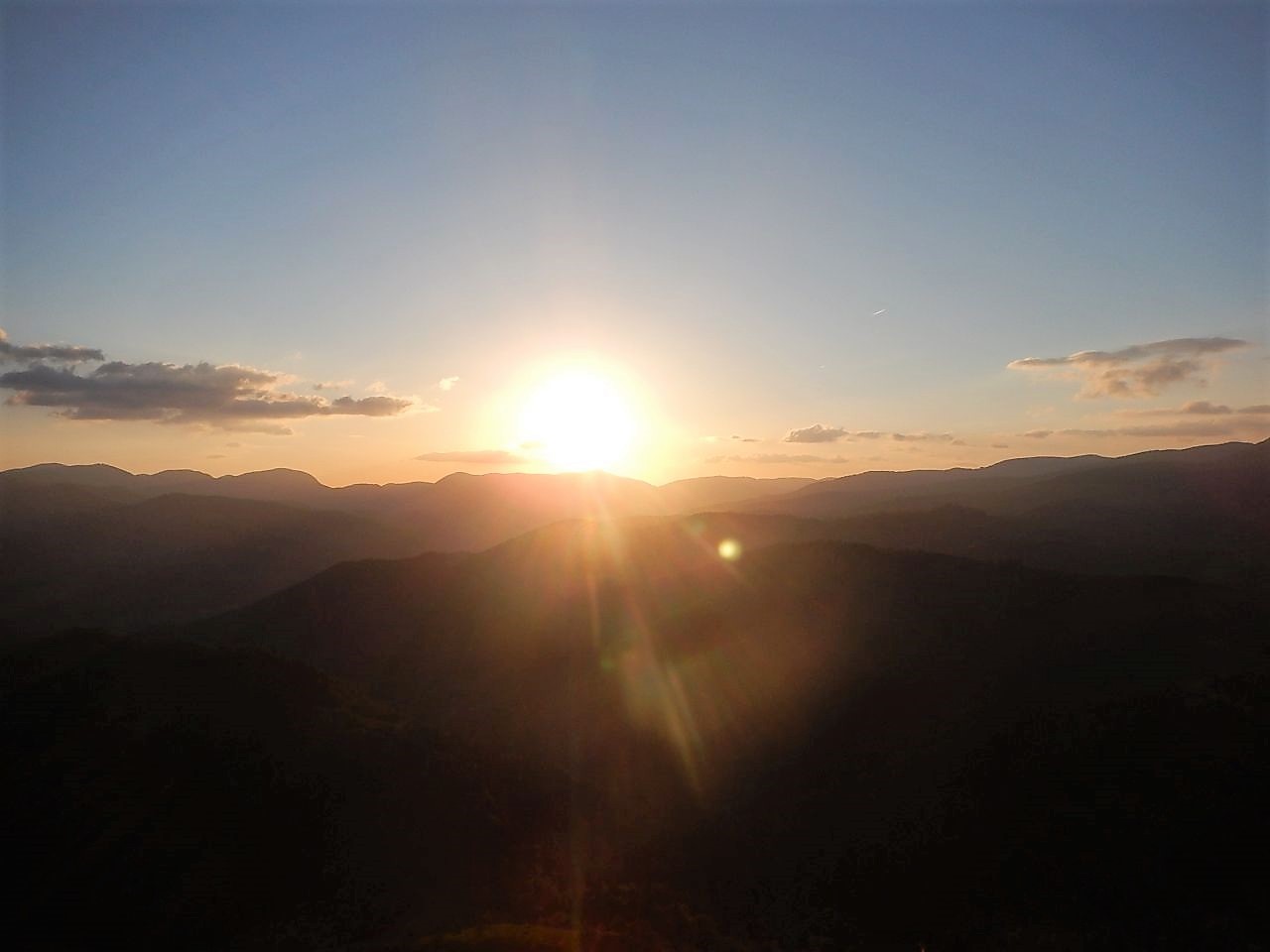
05/06/2014
"oula oula"
21-17°C28 km, 2h45 Hm 900 m
10 MTB (Alain, Bernard, Christophe, Denis, Georges, Gilles, Jean-Claude, Michel, Pascal, Thierry)
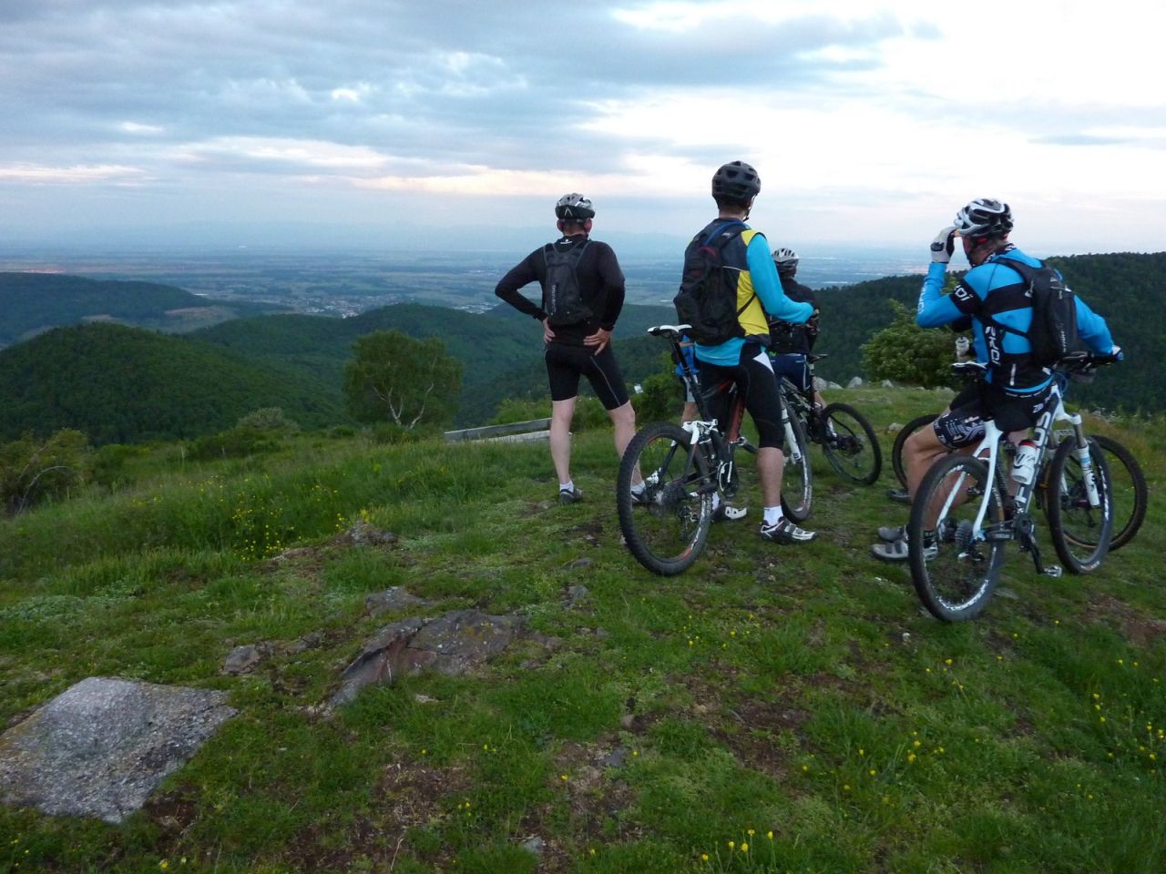
Vieux-Thann - Thanner Hubel - Rossberg-Hütte (1104 m) - Hundsrucken (748 m) - Thann

Kommentar:
- ersten Kontakt mit meinem neuen Spielzeug
28/05/2014
"Hohrupf - Ebeneck"
 20-15°C
25 km, 2h45 Hm 850 m
7 MTB (Bernard, Claude, Georges, Gilles, Michel, Romuald, Thierry)
Wieder eine Mittwoch-Abend!!!!!
Guebwiller - Judenhut - Hohrupf - Ebeneck - Guebwiller.
Kommentar:
- Danke Thierry für die Fotos
- Orchidee
22/05/2014
"être fan"
 16°C
16°C0 km
6 MTB (Christian, Christophe, Gilles, Michel, Romuald, Stéphane)
0 km :-(

15/05/2014
"rocher Ostein"
13-11°C27 km, 2h15 Hm 800 m
11 MTB (Alain, Bernard, Christian, Christophe, Claude, Denis, Gilles, Laurent, Luc, Michel, Thierry)
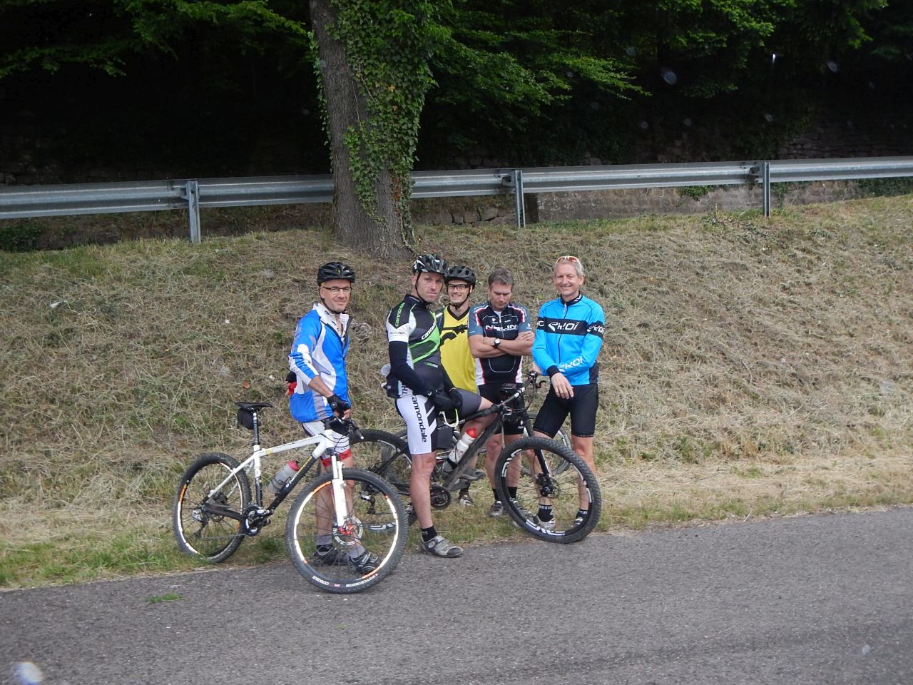
Thann - Waldkapelle - col du Grumbach (580m) - Pastetenplatz - camp Turenne (908m) - rocher Ostein - ferme Ostein - Bitschwiller - Thann
 video
video "rocher Ostein" Youtube (1:47)
Kommentar:
- wie in 2007
- kalt und windig
07/05/2014
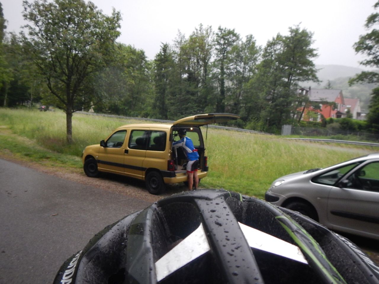
"m2 = mercredi mouillé"
 (15mn) 17-12°C
24 km, 2h15 Hm 700 m
3 MTB (Christophe, Claude, Gilles)
wieder ein Mittwoch
Thann - Bitschwiller-les-Thann - Thanner-Hubel (1050m) - Bitschwiller-les-Thann - Thann


30/04/2014
"mercredi: Judenhut et Ebeneck"
(10mn) 13-8°C22 km, 2h10 Hm 650 m
5 MTB (Christophe, Jean-Claude, Luc, Pascal, Thierry)
Guebwiller - Murbach - Judenhut - EBENECK - Guebwiller
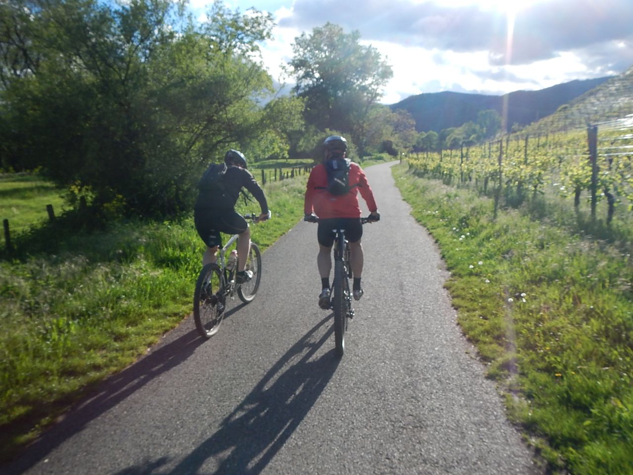
24/04/2014
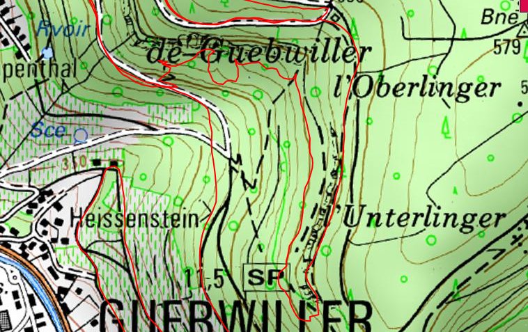
"superbe exploration du coté de Gueb"
22-17°C27 km, 2h30 Hm 550 m
 :IGN:
:IGN:
15 MTB (Alain, Bernard, Christophe, Claude, Denis, Gilles, Jean Z, Jean-Claude, Julien, Laurent, Luc, Michel, Pascal, Romuald, Thierry)
Guebwiller - .... - col du Bannstein - Val du Patre - Orschwihr - Bergholtz-Zell - Guebwiller.
17/04/2014
"Belle balade avant un WE mouillé"
17°C(i)
30 km, 2h00 Hm 550 m
18 MTB (Belmiro, Bernard, Christian, Christophe, Claude, Denis, 2 Eric, Fabien, Franck, Georges, Gilles, Jean, Jean-Claude, Julien, Luc, Michel, Thierry )
Mulhouse - Waldeck - Flaxlanden - Zillisheim - Bruebach - Waldeck.
