

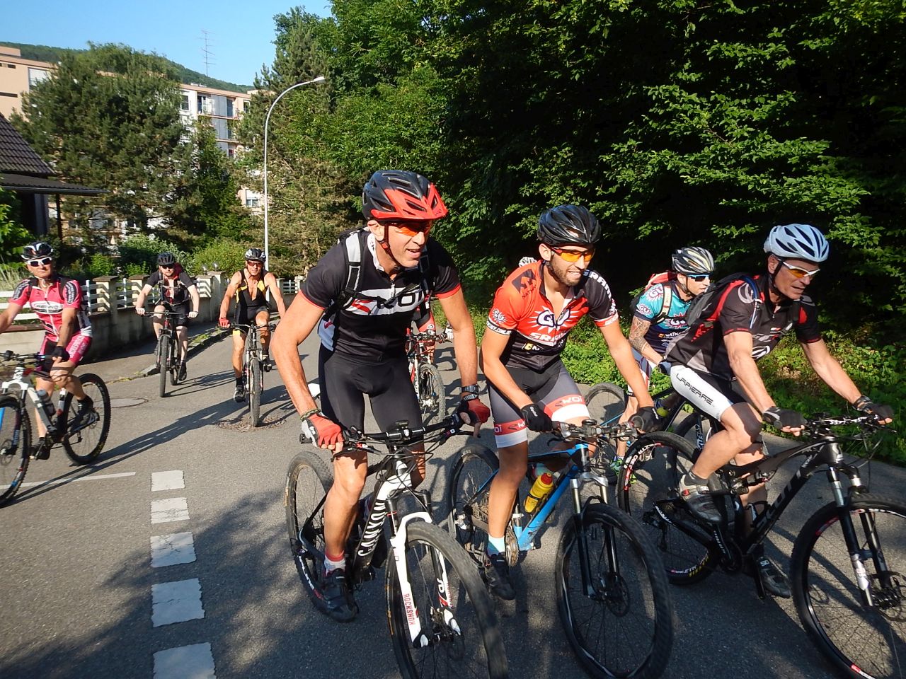
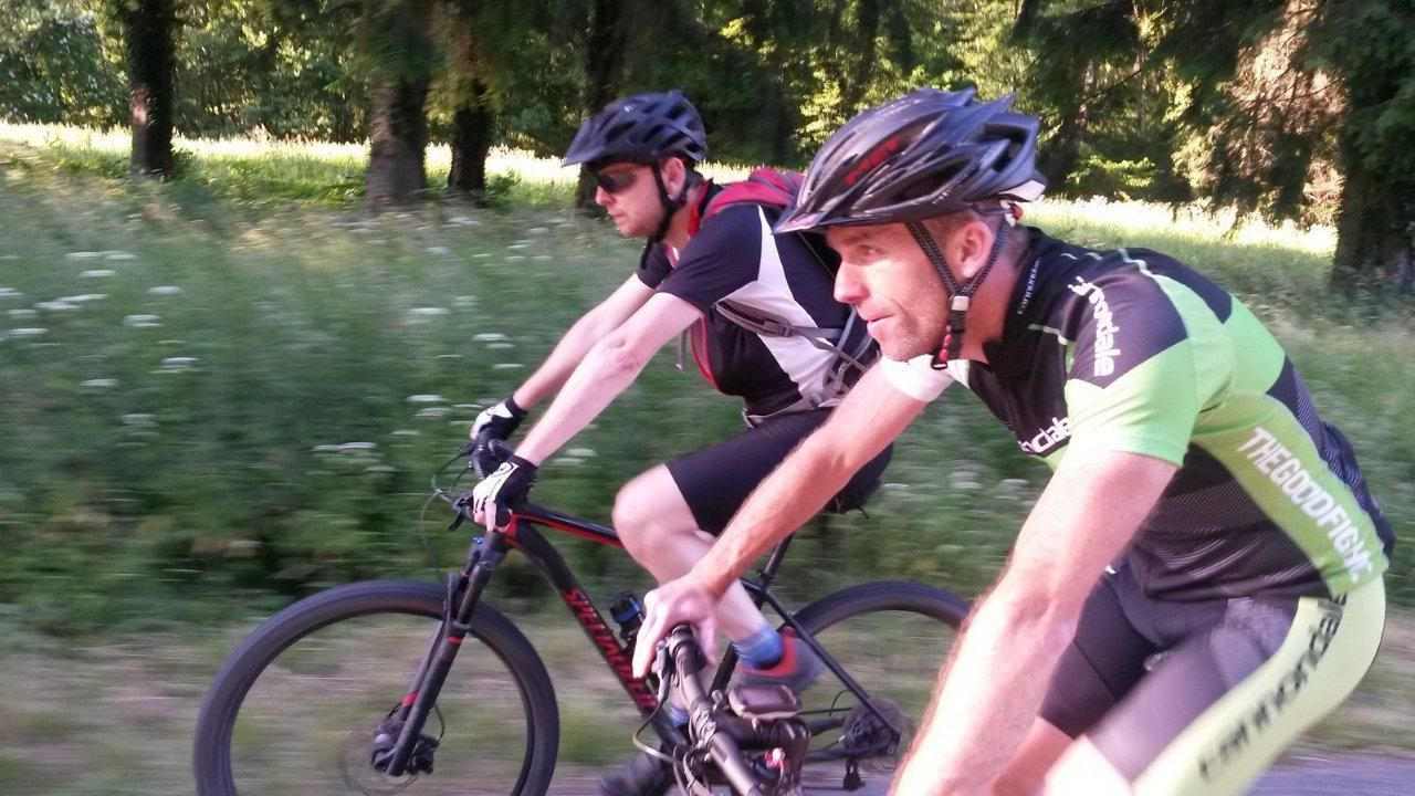
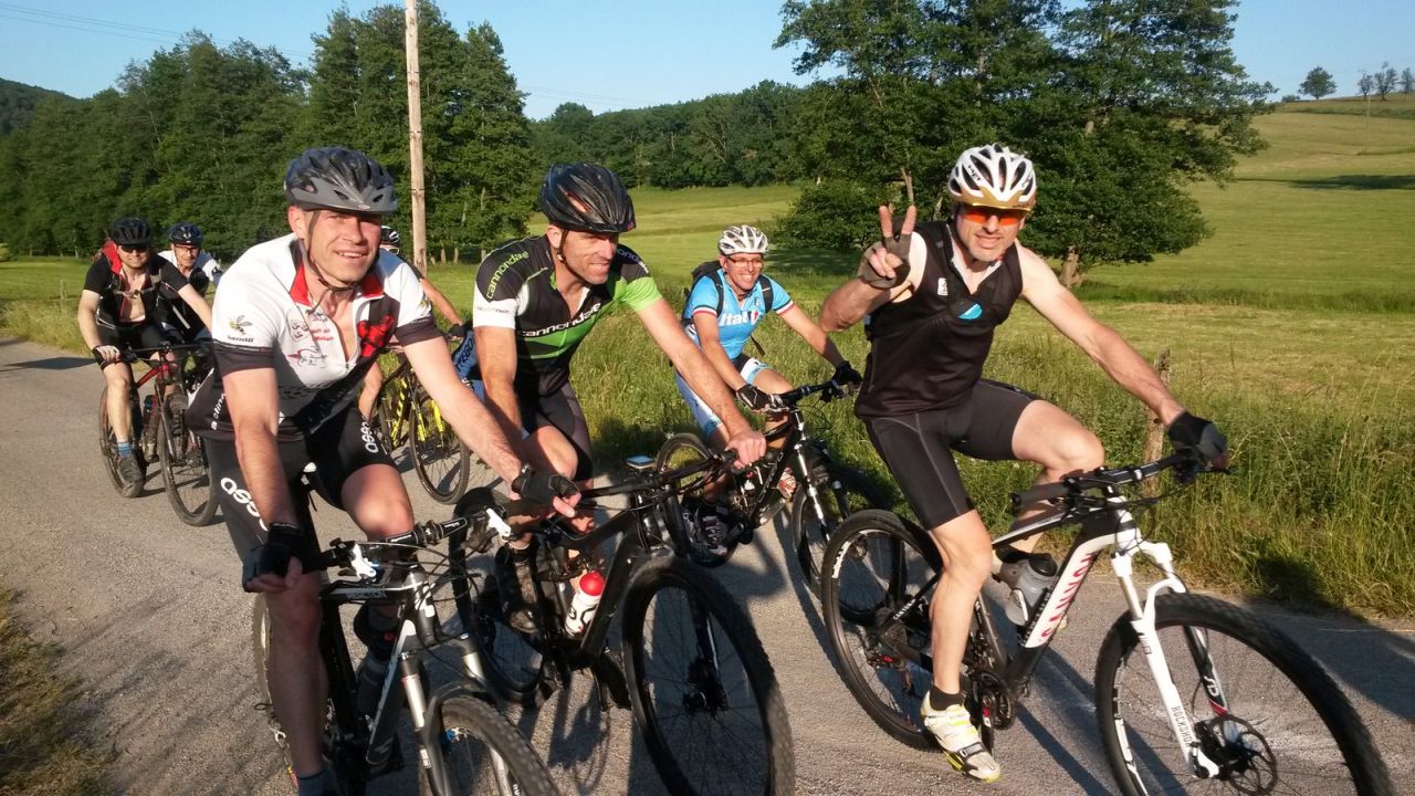
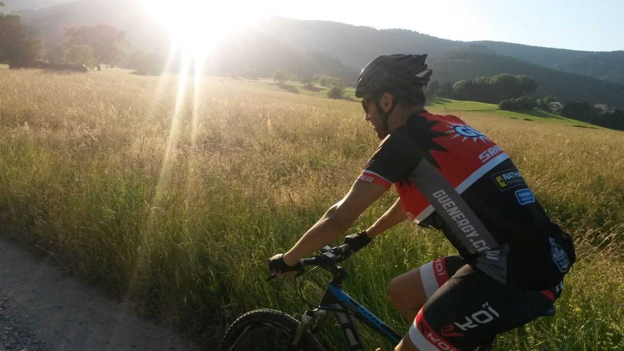
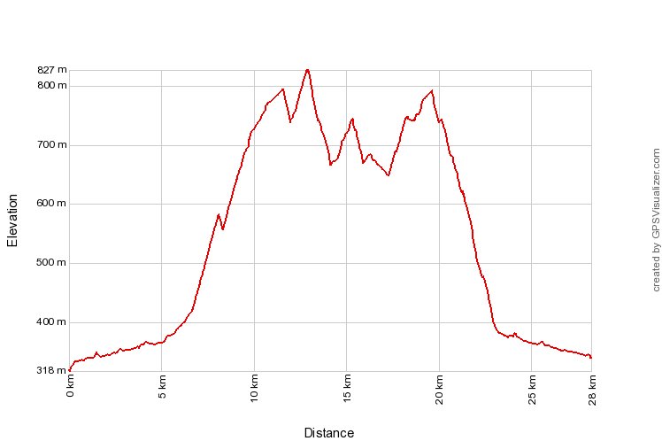
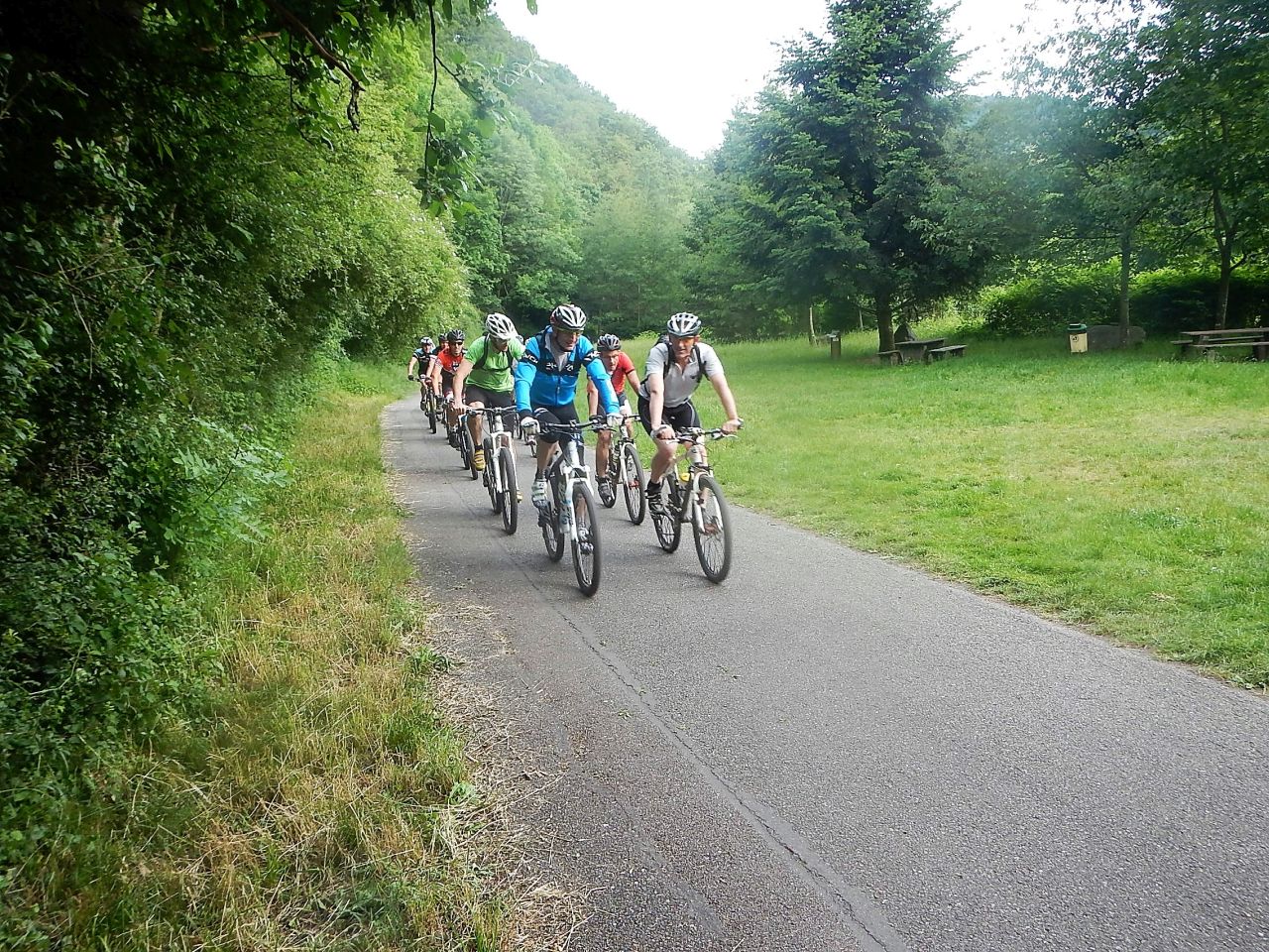
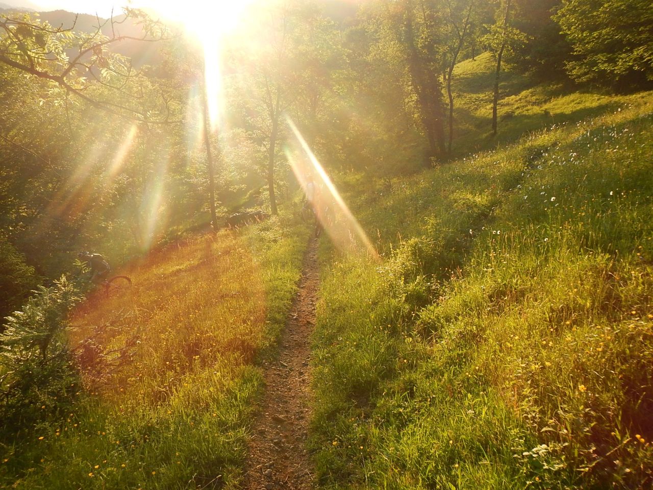
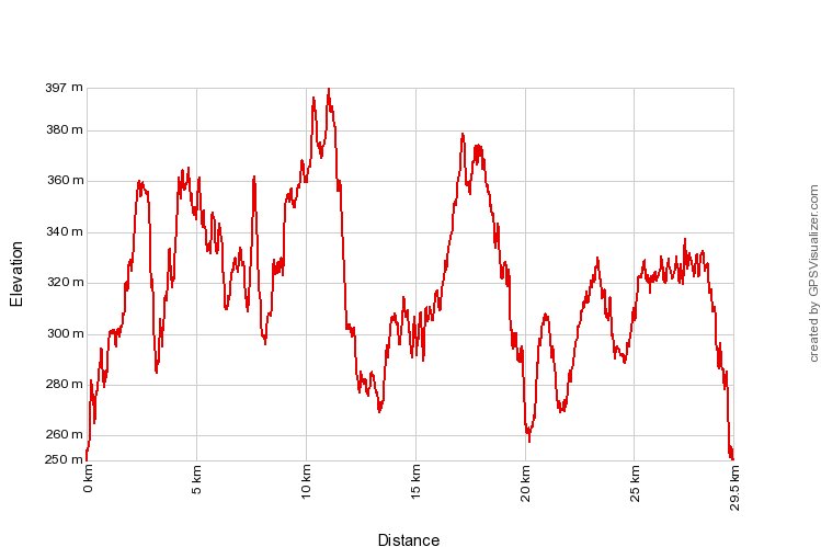
June 25, 2015
"Hohlandsbourg and snack - Hohlandsbourg et casse-croûte"
 25-23°C 77-73°F
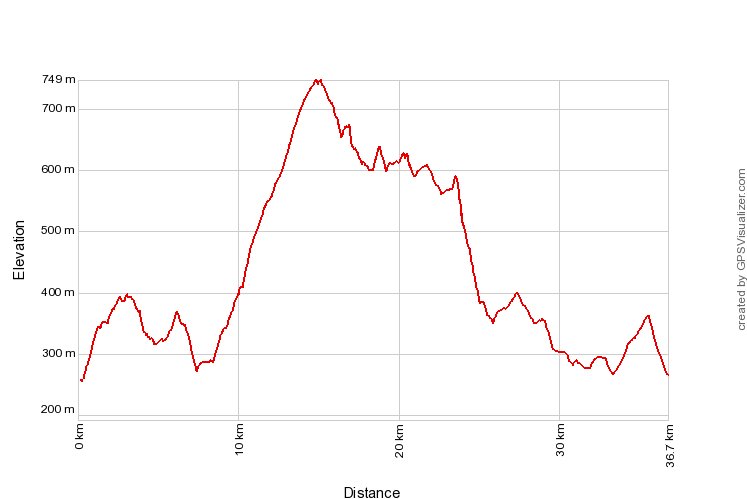
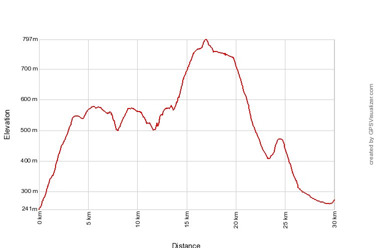
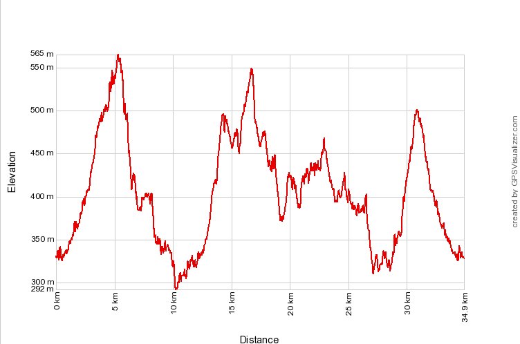
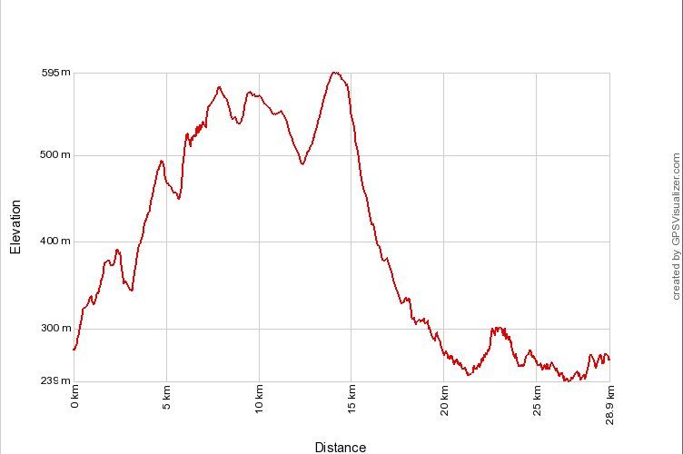
 37 km 23 miles 2h40 Elev.Gain 800 m 2600 feet


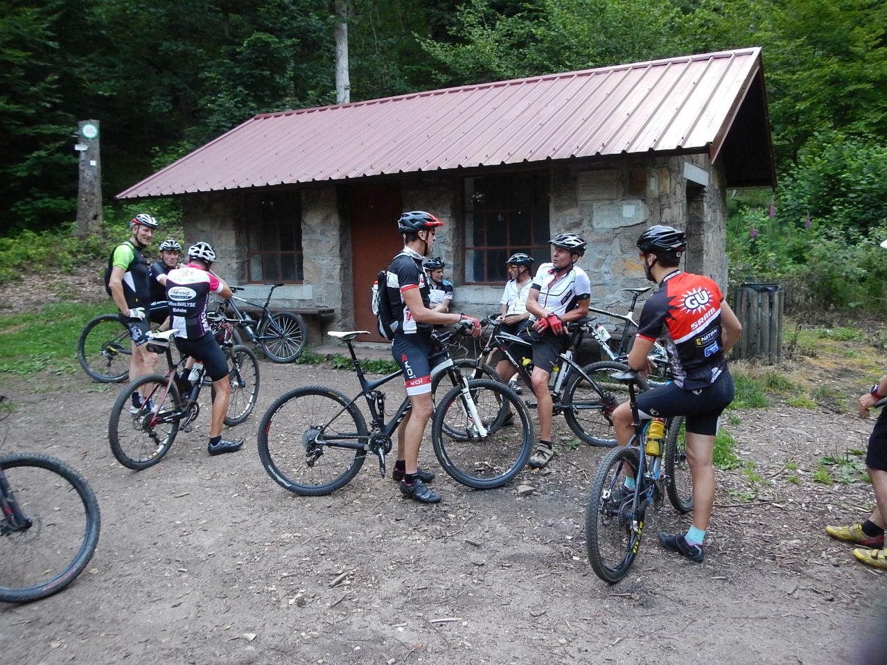
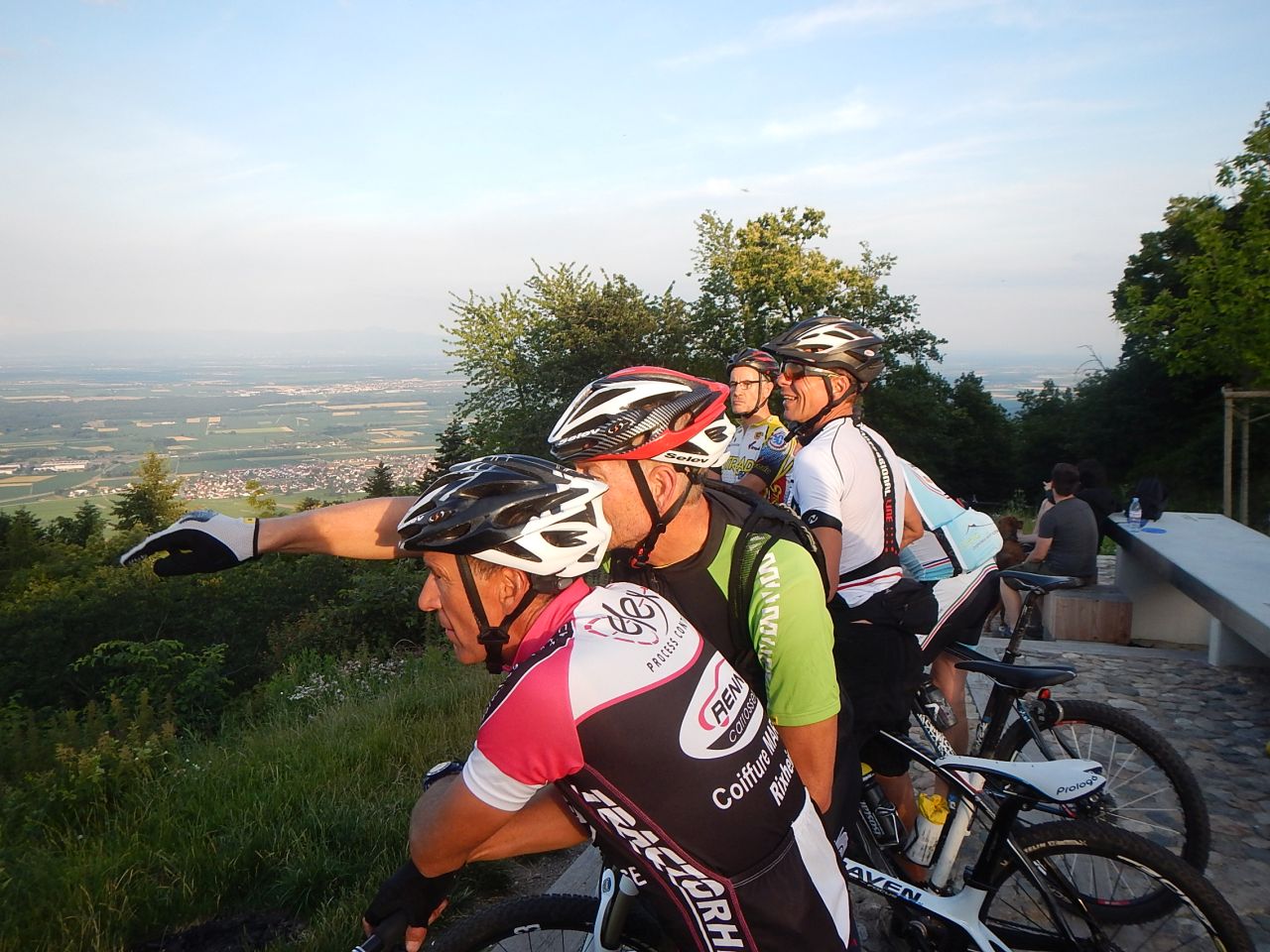
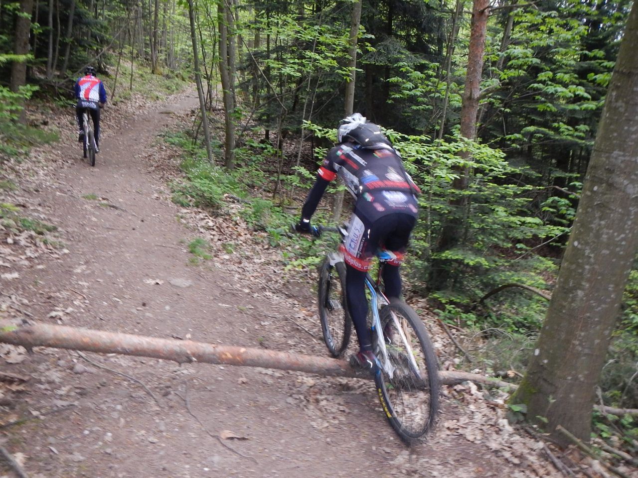
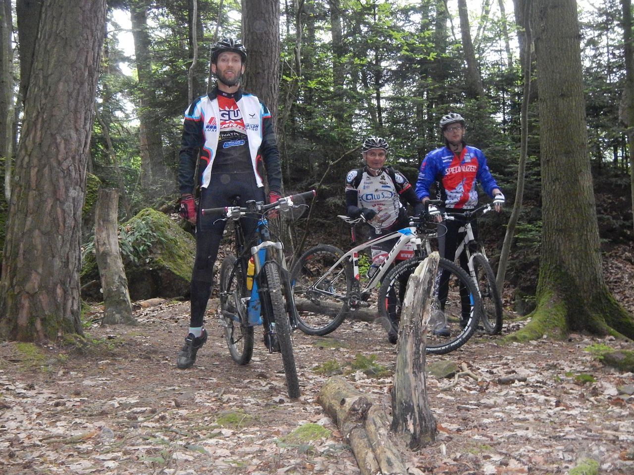
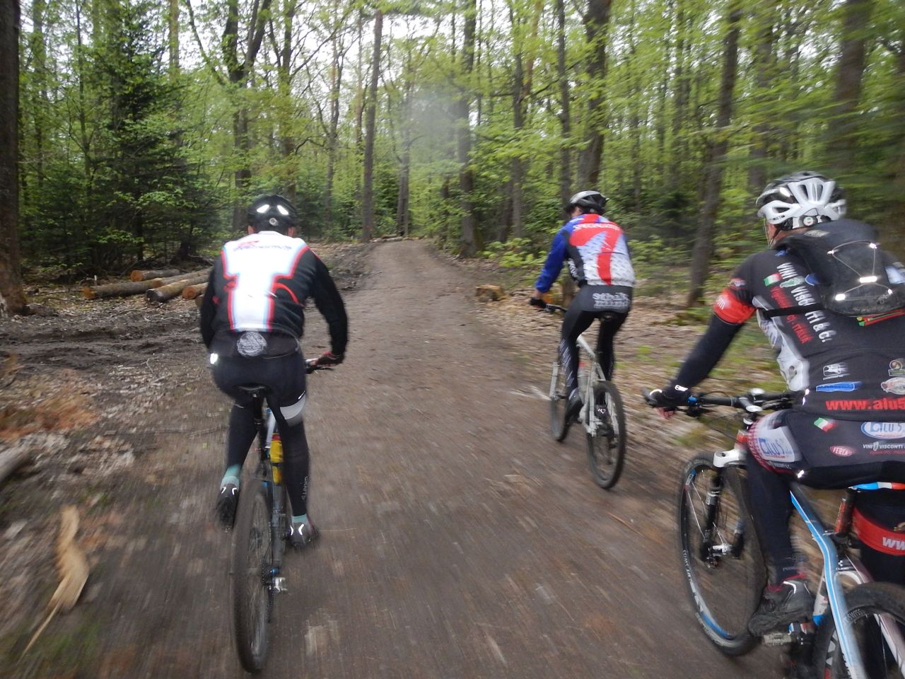
14 MTB (Christian, 2 Christophe, Claude, Daniel, Eric, Fred, Jean-Claude, Julien, Michel, Roger, Thierry, Thomas, Yves)
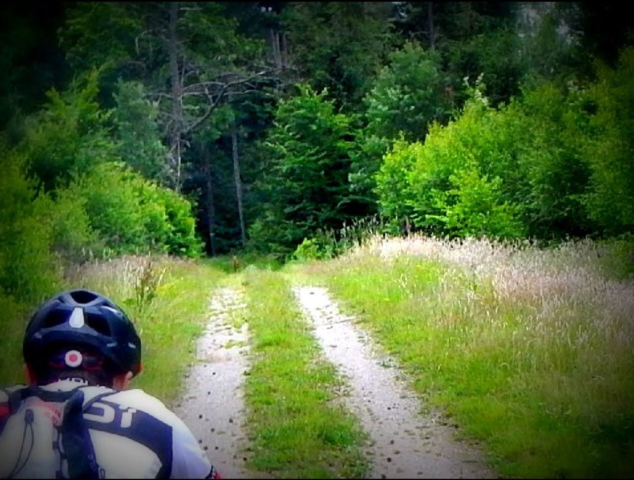
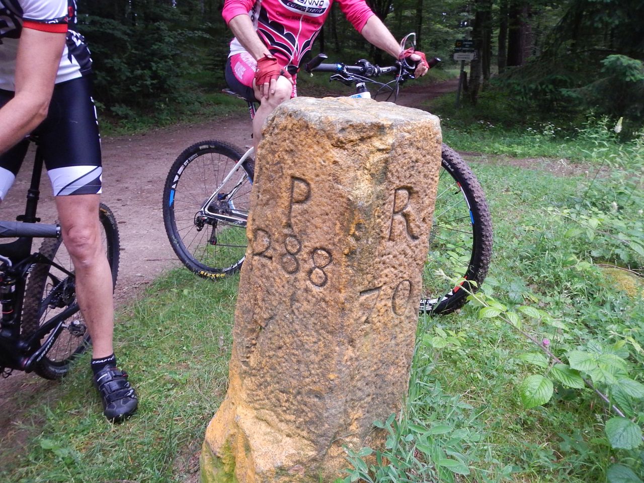
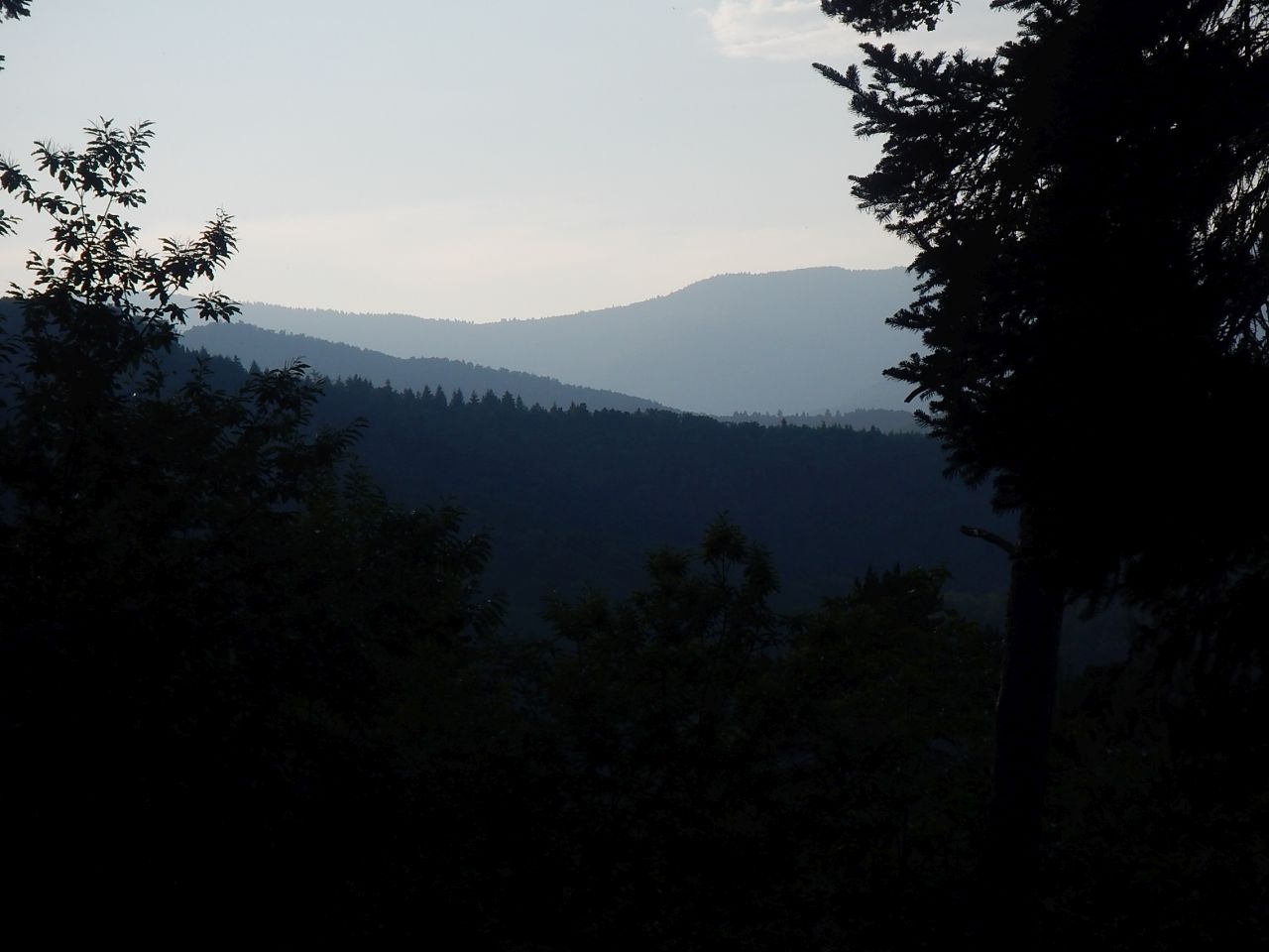
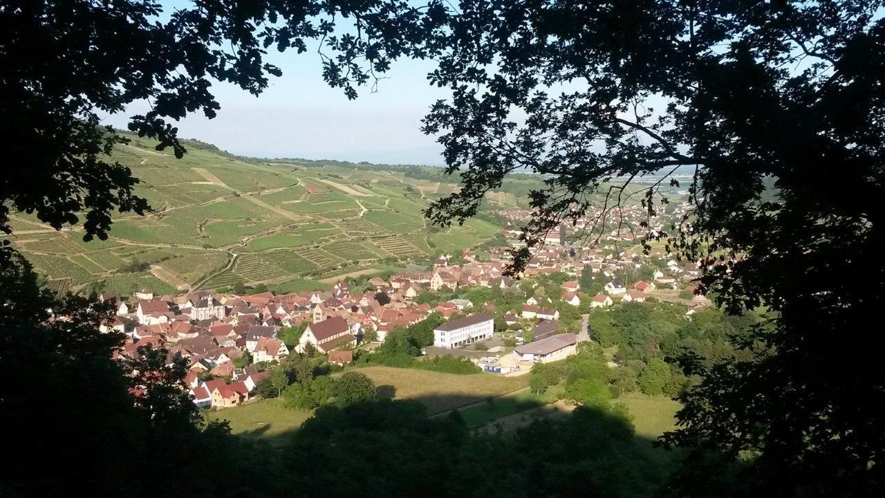
Westhalten - Gueberschwihr - chateau du Hohlandsbourg - Husseren-les-Chateaux - Voegtlinshoffen - Gueberschwihr - Westhalten
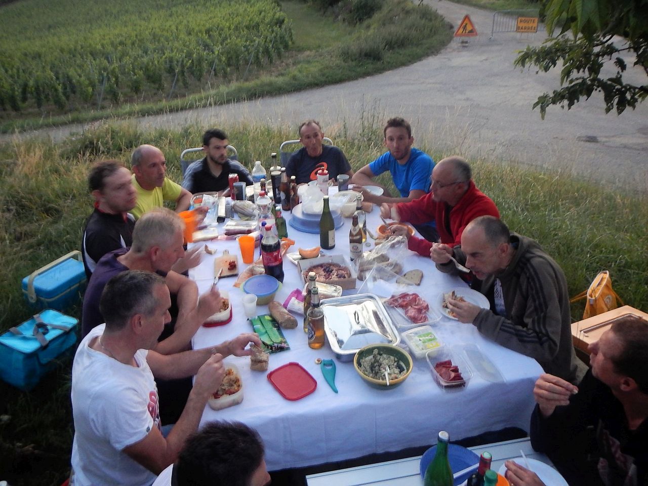
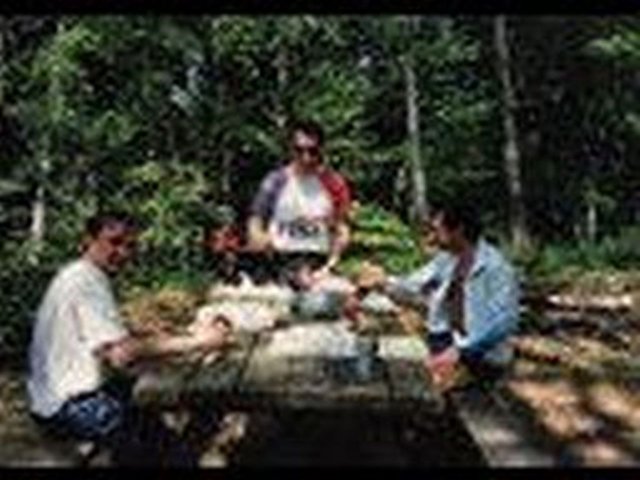
21h30: common meal on "our" table

 55 pictures (G Photo)
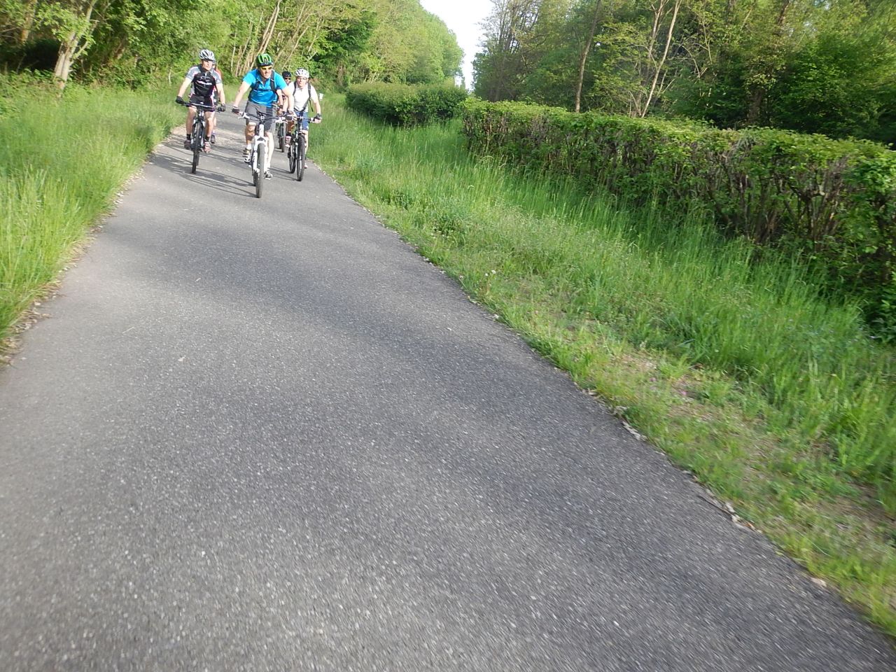
June 18, 2015
"we've seen everything ... - on aura tout vu ..."

 (15mn)
18-17°C 64-62°F
(15mn)
18-17°C 64-62°F 30 km 18 miles, 2h45 Elev.Gain 700 m 2300 feet
3 MTB (Christophe, Jean-Claude, Thierry)
Westhalten - Heiliger Baum - couvent St Marc - Osenbuhr - Col de Wolfsgrube - Borne Jaune - Firstplan - Osenbach - Soultzmatt - Westhalten.
animals seen: bee (abeille) - deer (chevreuil) - squirrel (écureuil) - hare (lièvre) - fox (renard)


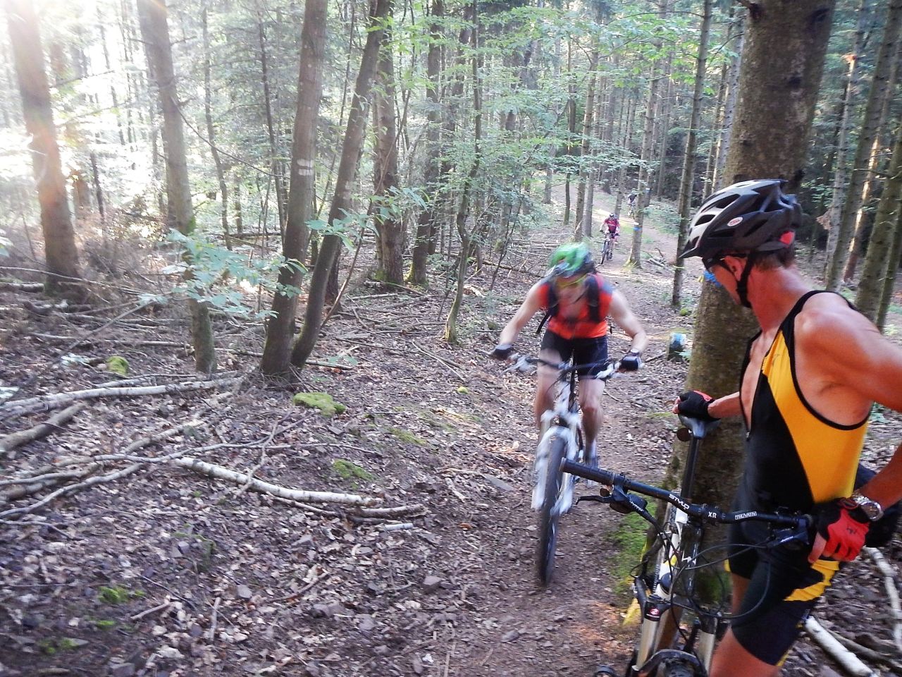
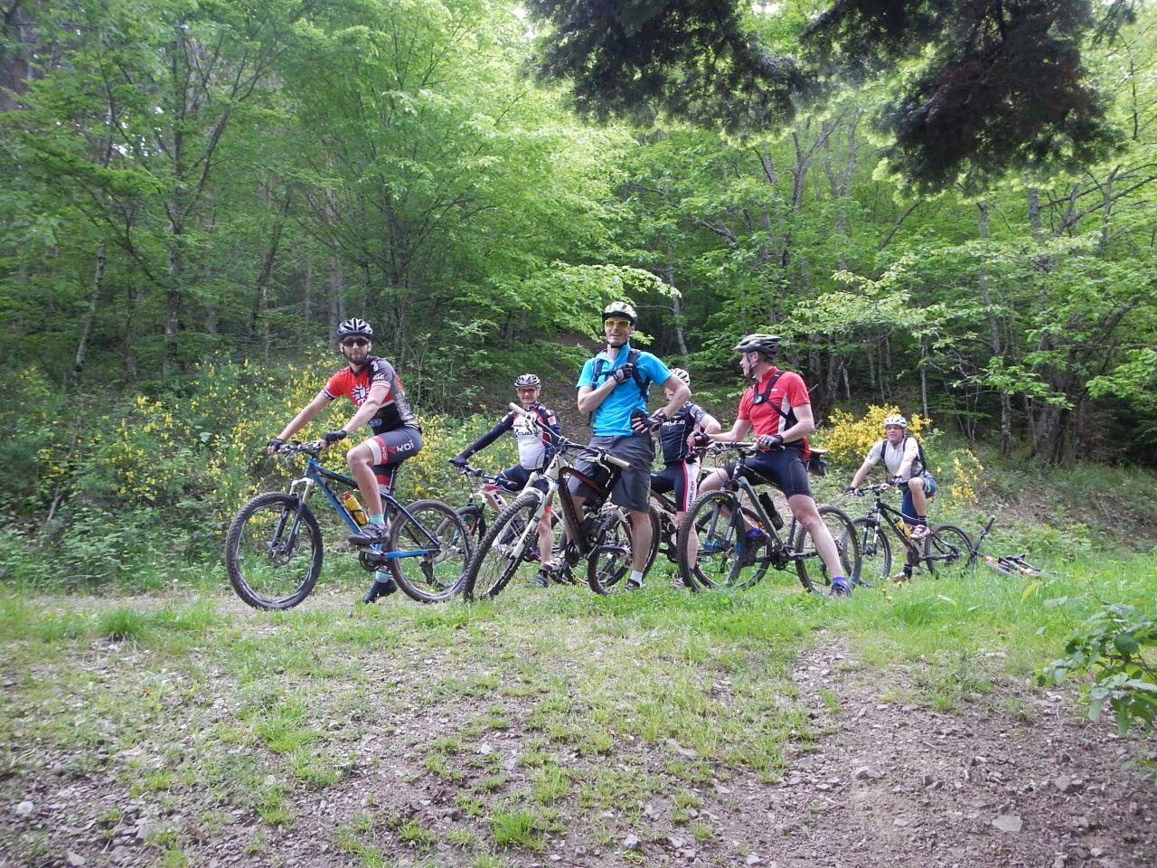
June 11, 2015
"polish walk - balade polonaise"
27-23°C 80-73°F 22 km 13 miles, 2h00 Elev.Gain 550 m 1800 feet
13 MTB (Christophe, Daniel, Eric, Fred, Georges, Gilles, Jean-Claude, Laurent, Pascal, Roger, Romuald, Thierry, Thomas)
18h31 Guebwiller - Peternit - Munsteraeckerle - Peternit - Rehbrunnenkopf - Bildstoeckle - Heidelberg - Guebwiller


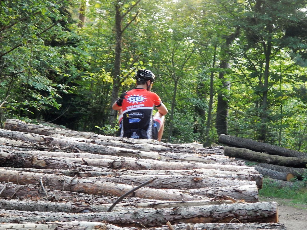
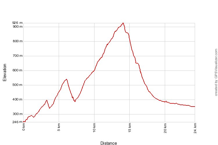
June 04, 2015
"noble valley - Vallée Noble"
29-26°C 84-79°F35 km 22 miles, 2h30 Elev.Gain 700 m 2300 feet
14 MTB (Bernard, Claude, Denis, Fred, Georges, Gilles, Jacques, Jean-Claude, Laurent, Michel, Roger, Stéphane, Thierry, Thomas)
Guebwiller - col du Bannstein - Klein Pfingstberg - Gauchmatt - Grossfels (Soultzmatt) - Thannwiller - Schwartzenthann - Wintzfelden - Ritzenthal - Osenbach - Thannwiller - Bannstein - Guebwiller.
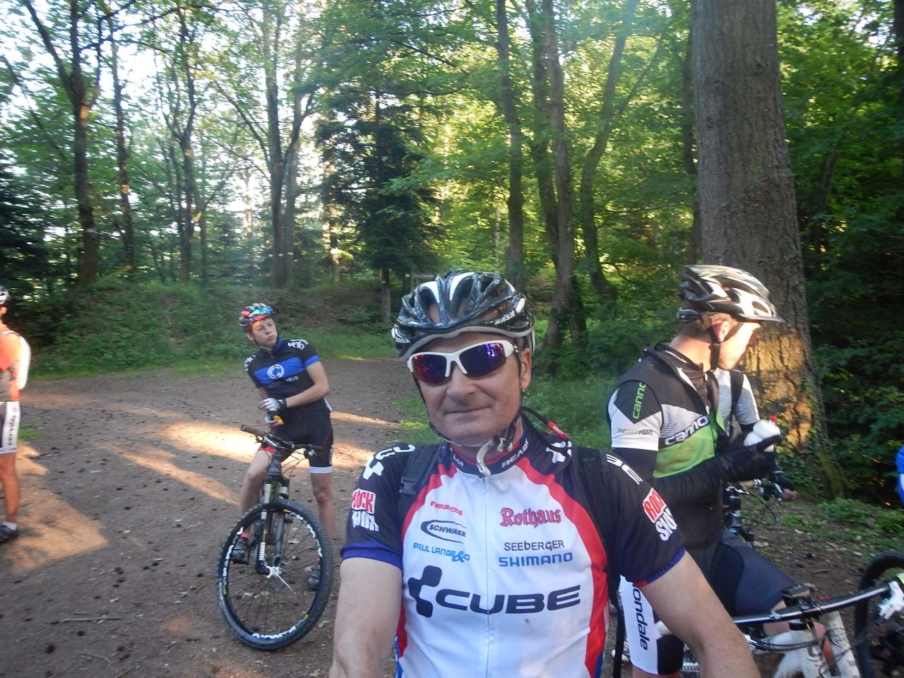
May 28, 2015
"mechanics - mécanique"
22°C 71°F27 km 17 miles, 2h10 Elev.Gain 700 m 2300 feet
15 MTB (Bernard, Christian, Christophe, Claude, David, Daniel, Georges, Gilles, Jean-Claude, Julien, Laurent, Michel, Pascal, Roger, Thomas)
Thann - Bitschwiller-les-Thann - Place Zundel - Bitschwiller-les-Thann - Thann


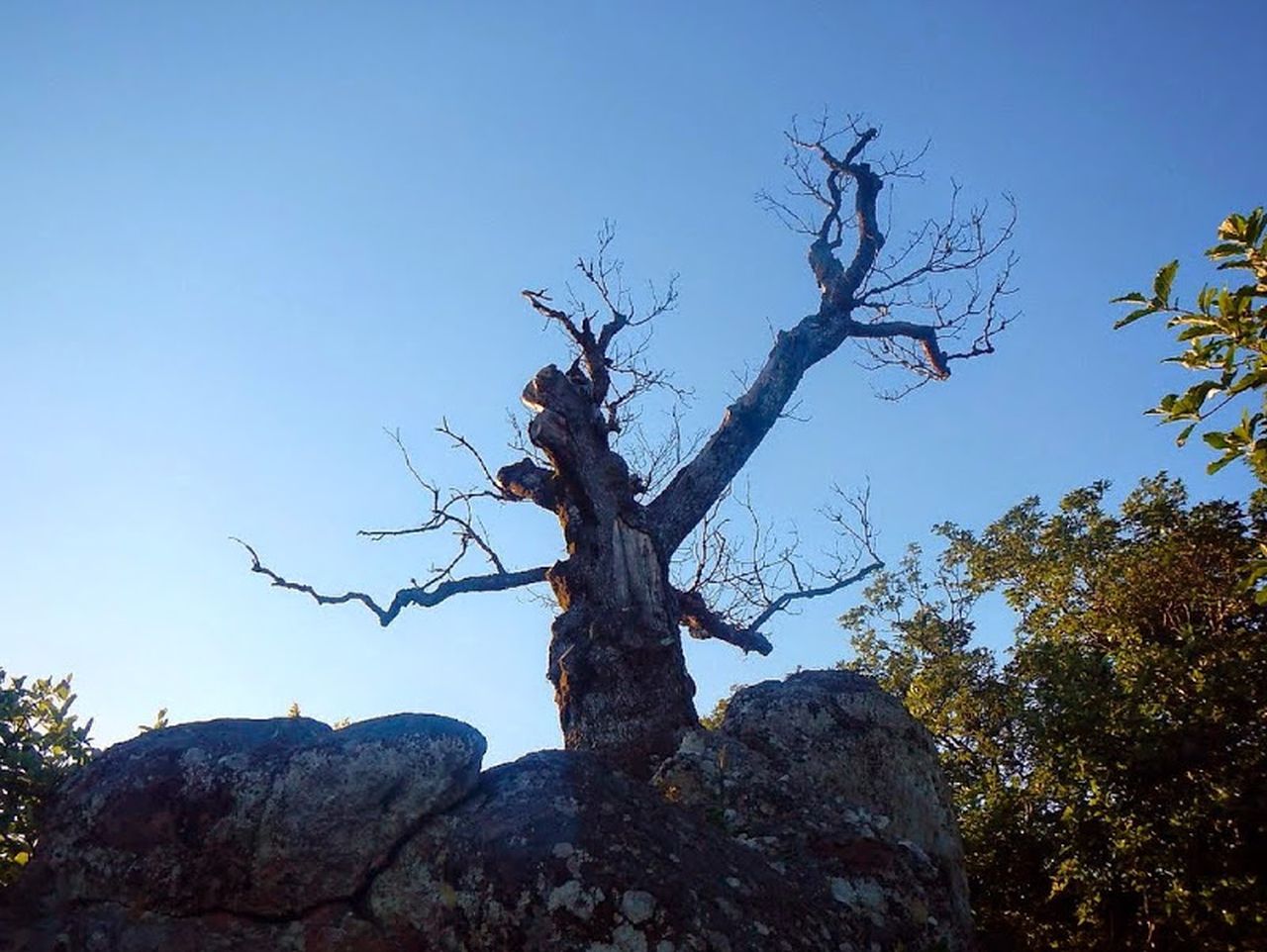
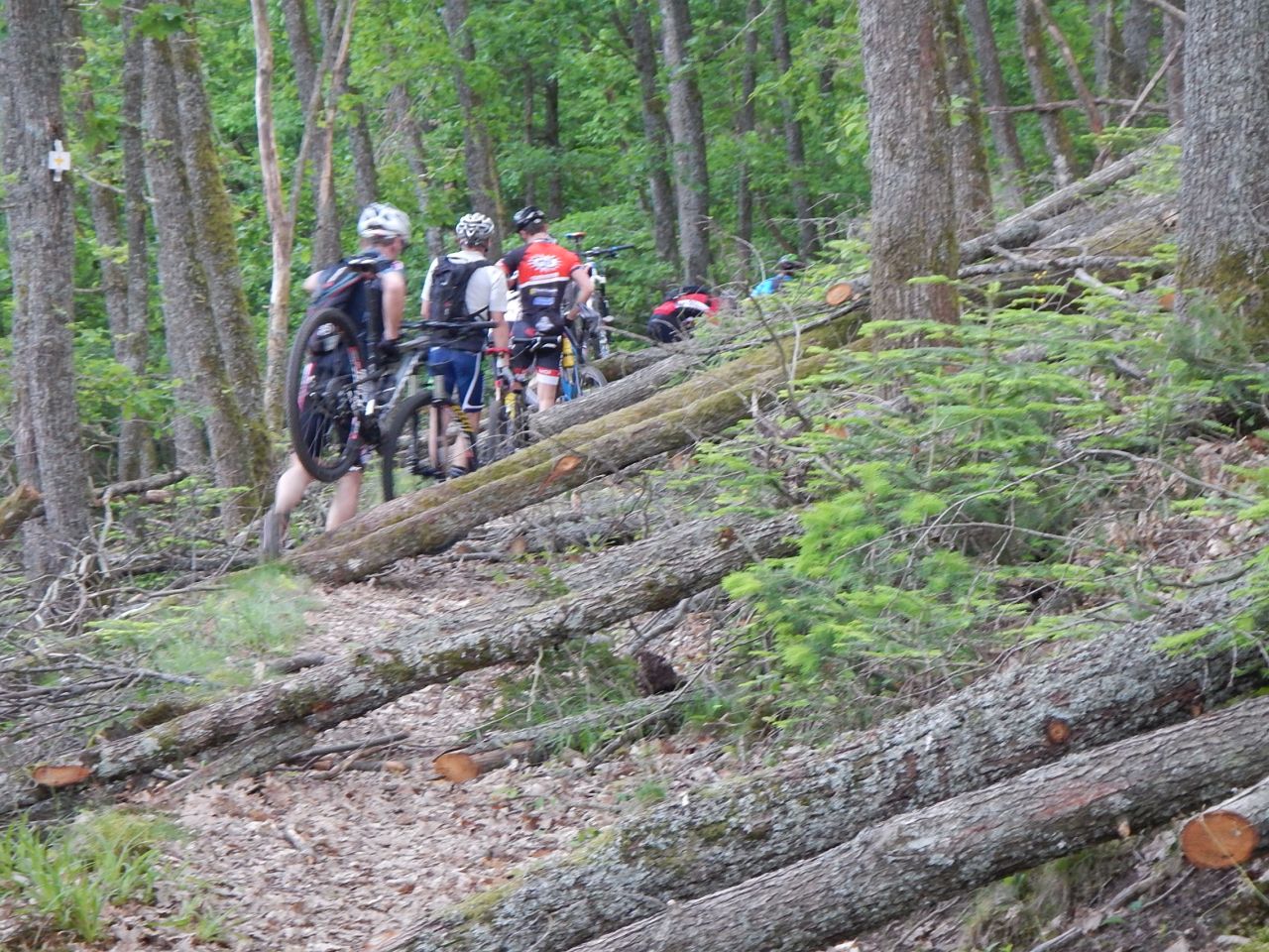
May 21, 2015
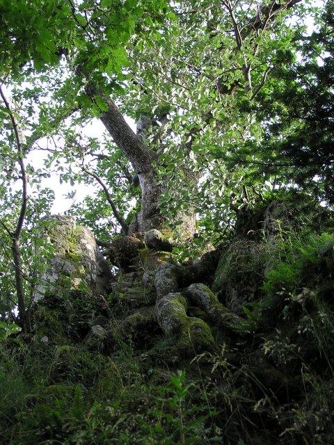
"Is the Wotan 1 dead ? - le Wotan est mort?"
15-12°C 59-53°F24 km 15 miles, 2h15 Elev.Gain 850 m 2700 feet
15 MTB (Alain, Bernard, Christophe, Denis, Georges, Gérald, Gilles, Jacques, Jean-Claude, Laurent, Michel, Stéphane, Thierry, Thomas, Yves)
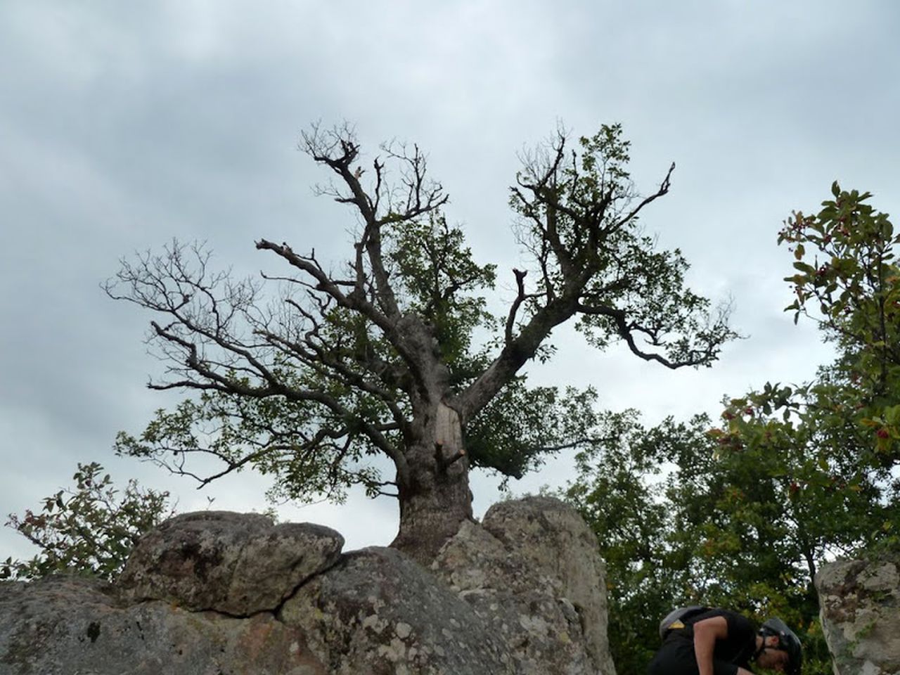
Thann - Waldkapelle - Kattenbachrunz - col du Grumbach - chêne Wotan - Camp Turenne - Rocher Ostein - Bitschwiller - Thann
A) ma traduction: (not the best translation, but without a mistake, which completely changes the meaning of the sentence)
6:30 p.m. appointment at Thann.
After the small bridge over the Thur it's immediately on the right tonight.
Gerald checks immediately that the side is stable! OK !!
the double loop from Michel ;-) then we continue until the Waldkapelle.
Descent to Kattenbachrunz then up in the gorge 2 which had been well washed away (but rebuilded now with the bridge at its right place and function !!) :-)
short stop at the Grumbach's pass and then at the Wotan oak ...
he is in a sad state, this youngster who is 250 years old, .... he will leave us
 Comparison between
2004 -
2011
and 2015 (now)
Comparison between
2004 -
2011
and 2015 (now)It still goes up until Camp Turenne and there, for the descent, we put on a coat because it isn't really hot!
The path goes near the Ostein Rock but we don't stop there tonight.
250m after Ostein farm, turn left to take another little path.
Back from Bitschwiller on the cycle track along the Thur.
For Gilles it will be not so nice: he finishes the trip with (just) one pedal (it's less convenient!)
B) la traduct. Google
6:30 p.m. appointment at Thann.
After the small bridge ... Thur is immediately to the right tonight.
Gerald checks immediately that the lower sides are stable! OK !!
the double loop Michel ;-) then we continue the climb until the Waldkapelle.
Descent to Kattenbachrunz then up in the throat had been well washed away (but redone now with a bridge in its place and function !!) :-)
Grumbach ... short stop at the neck and then to Wotan oak...
it is in a sad state property: 250 years this youngster will leave us
Compared to 2004 2011 and 2015 (now)
It still goes up Camp Turenne and there, for the descent, one puts on a coat because it really is not hot!
The path we passed by the Ostein Rock but does not stop there tonight.
250m after Ostein farm, turn left to take another little path.
Back from Bitschwiller by the cycle track along the Thur.
For Gilles it will be less nice: it will end the output with (just) a pedal (this is less convenient!)
After the small bridge ... Thur is immediately to the right tonight.
Gerald checks immediately that the lower sides are stable! OK !!
the double loop Michel ;-) then we continue the climb until the Waldkapelle.
Descent to Kattenbachrunz then up in the throat had been well washed away (but redone now with a bridge in its place and function !!) :-)
Grumbach ... short stop at the neck and then to Wotan oak...
it is in a sad state property: 250 years this youngster will leave us
Compared to 2004 2011 and 2015 (now) It still goes up Camp Turenne and there, for the descent, one puts on a coat because it really is not hot!
The path we passed by the Ostein Rock but does not stop there tonight.
250m after Ostein farm, turn left to take another little path.
Back from Bitschwiller by the cycle track along the Thur.
For Gilles it will be less nice: it will end the output with (just) a pedal (this is less convenient!)
C) la traduct. Bing
18 h 30 RdV in Thann.
After the little bridge of the river Thur it immediately right tonight.
Gerald checks immediately that the low-rated are well stable! OK!
the double loop of Michel ;-) and then we continue the steep up to the Waldkapelle.
Descent to the Kattenbachrunz and then goes in the throat that had been well dissected (but rebuilt now, with a bridge in its place and function!) :-)
Stop the Grumbach-necked then at oak Wotan...
It is in a good sad state: youngster of 250 years will leave us
comparison with 2004 2011 and 2015 (now)
Yet ascent to Camp Turenne and then for the descent, it dons a coat because it does really not hot!
The trail makes us pass by rock Ostein but it is does not tonight.
250 m after the Ostein farm, turn left to resume another small trail.
Return from Bitschwiller by bicycle.... along the Thur.
For Gilles _ will be less nice: it will end up leaving with (just) a pedal (it's less convenient!)
After the little bridge of the river Thur it immediately right tonight.
Gerald checks immediately that the low-rated are well stable! OK!
the double loop of Michel ;-) and then we continue the steep up to the Waldkapelle.
Descent to the Kattenbachrunz and then goes in the throat that had been well dissected (but rebuilt now, with a bridge in its place and function!) :-)
Stop the Grumbach-necked then at oak Wotan...
It is in a good sad state: youngster of 250 years will leave us
comparison with 2004 2011 and 2015 (now)Yet ascent to Camp Turenne and then for the descent, it dons a coat because it does really not hot!
The trail makes us pass by rock Ostein but it is does not tonight.
250 m after the Ostein farm, turn left to resume another small trail.
Return from Bitschwiller by bicycle.... along the Thur.
For Gilles _ will be less nice: it will end up leaving with (just) a pedal (it's less convenient!)
oak = chêne1 Odin = Wotan
2 gorge or canyon = gorge

May 07, 2015
"Hohrupf ruin - ruine du Hohrupf"
19-15°C 66-59°F26.5 km 16 miles, 2h50 Elev.Gain 750 m 2400 feet
7 MTB (Christophe, Georges, Gilles, Jean-Claude, Laurent, Romuald, Thomas)
Guebwiller - col du Bannstein - Hochfelsen - Engelstein - "entre granit et grès" - Lautenbach - ruine du Hohrupf (813m).

April 30, 2015
"before the rain - avant la pluie"
 14°C 57°F
28 km 17 miles, 2h20 Elev.Gain 600 m 2000 feet
4 MTB (Christophe, Jean-Claude, Marco, Thomas)
Guebwiller - Bergholtz - col du Dreibannstein (537m) (1760 feet) - Bannstein (483 m) (1580 feet) - Wintzfelden - Soultzmatt - Orschwihr - Bergholtz-Zell - Bergholtz - Guebwiller
April 23, 2015
"photograph and stuntman - photo-cascadeur"
15-18°C 59-64°F29 km 18 miles, 2h00 Elev.Gain 500 m 1600 feet
20 MTB (Alain, Belmiro, Bernard, Denis, Eric, Fabien, Fabrice, Fanny, Fred, Gérald, Gilles, Jean-Claude, Laurent, Marco, Michel, Pascal, Romuald, Stéphane, Thierry, Thomas)
Waldeck (Mulhouse) - Flaxlanden ... - Waldeck
April 16, 2015
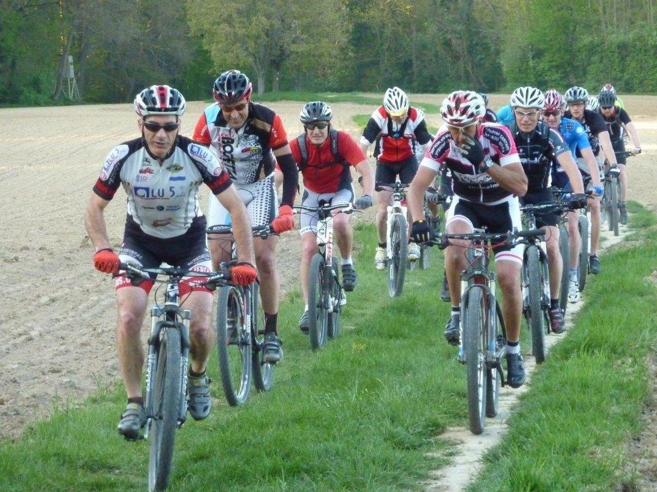
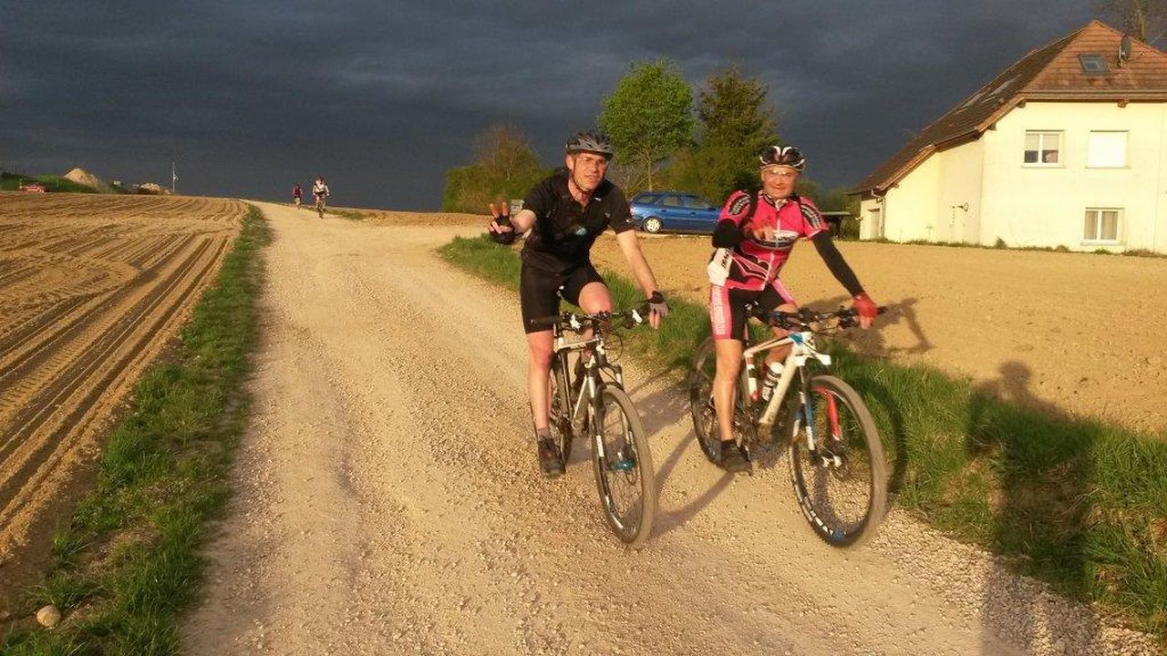
"first trip - Première sortie"
16-17°C 61-62°F27 km 17 miles, 1h50
15 MTB (Bernard, Eric, Fabien, Fanny, Fred, Gilles, Jacques, Jean-Claude, Laurent, Marco, Pascal, Stéphane, Thierry, Thomas, Yves)
Waldeck (Mulhouse) - Riedisheim - Rixheim - Zimmersheim - Brunstatt
