
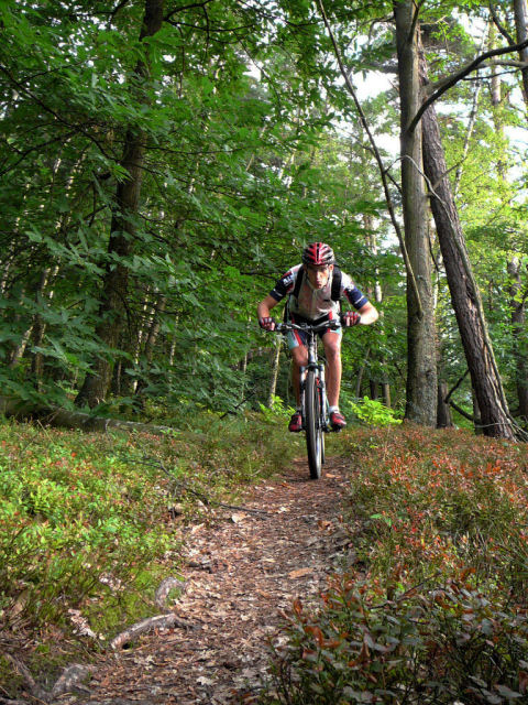
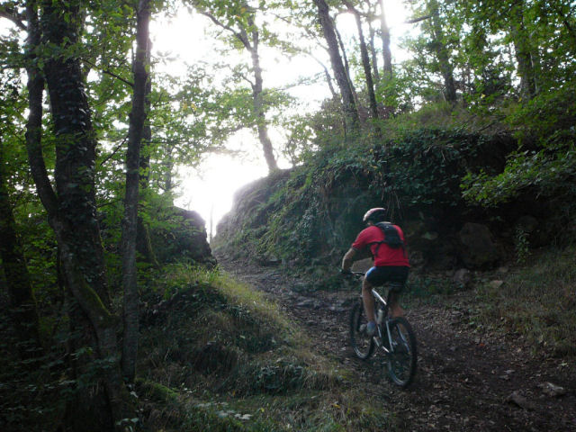
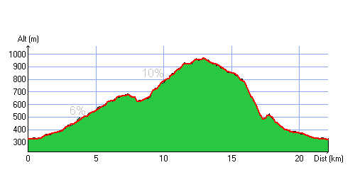
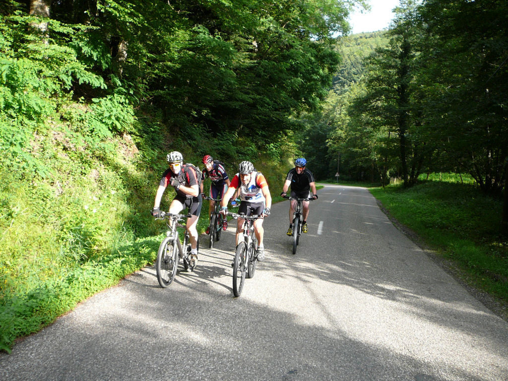
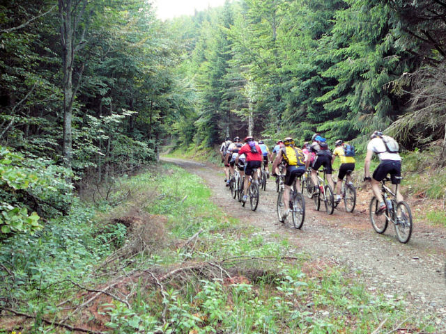
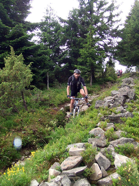
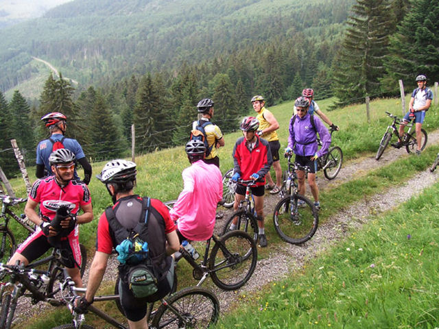
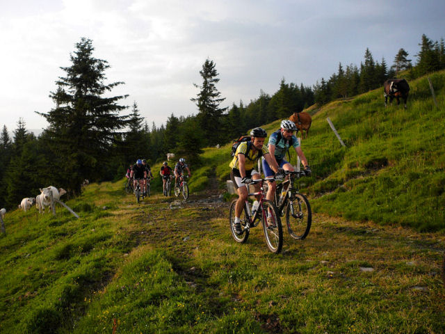
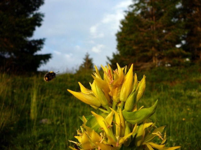
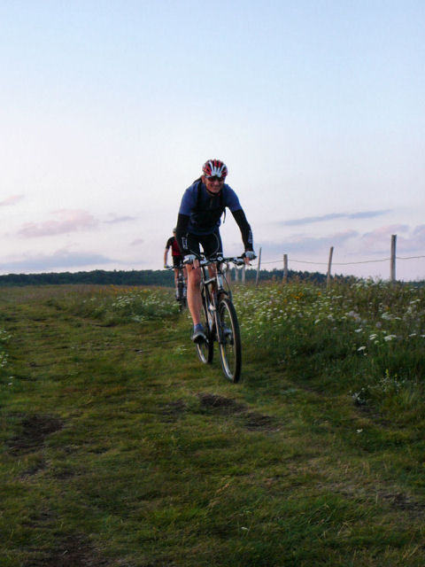
August 17, 2006
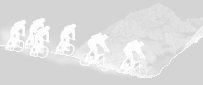
"Thanner Hubel"
 (rise)
  (descent)
25-17°C 77-62°F
(descent)
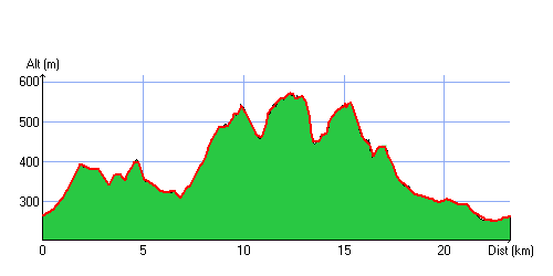
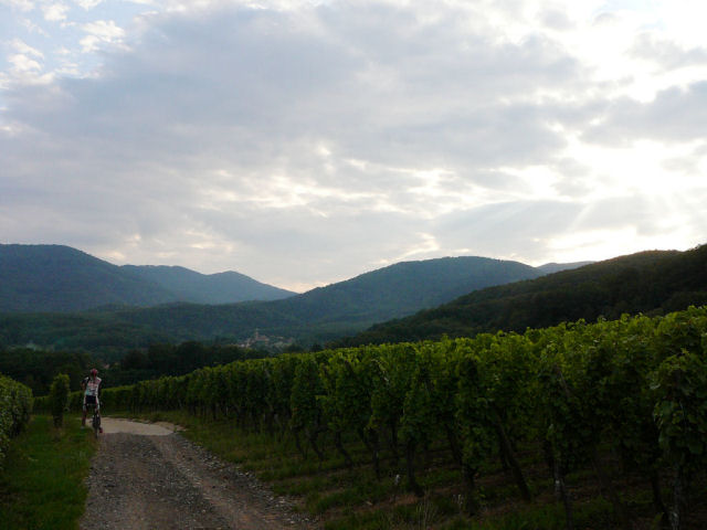
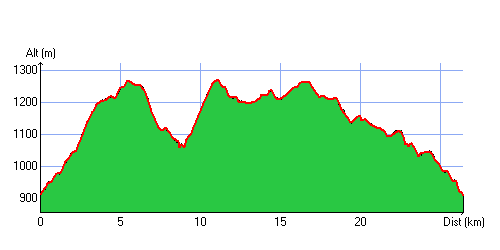
25-17°C 77-62°F 25 km 15.5 miles 1h50 Elev.Gain 910m 3000 feet
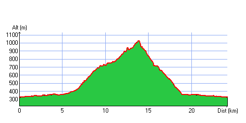

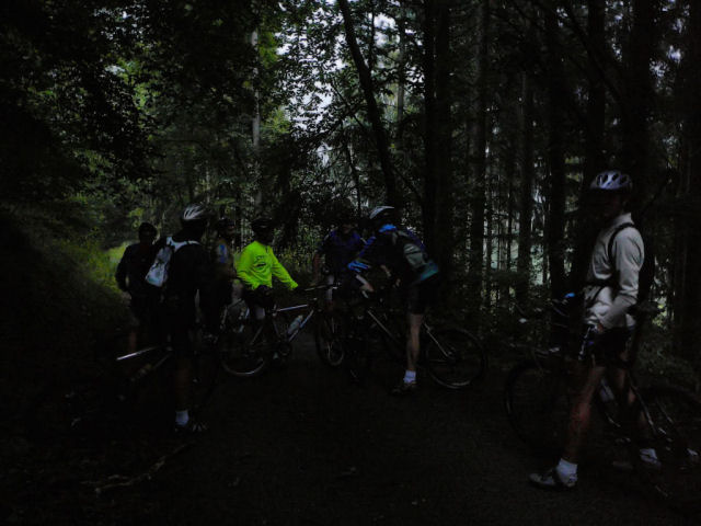
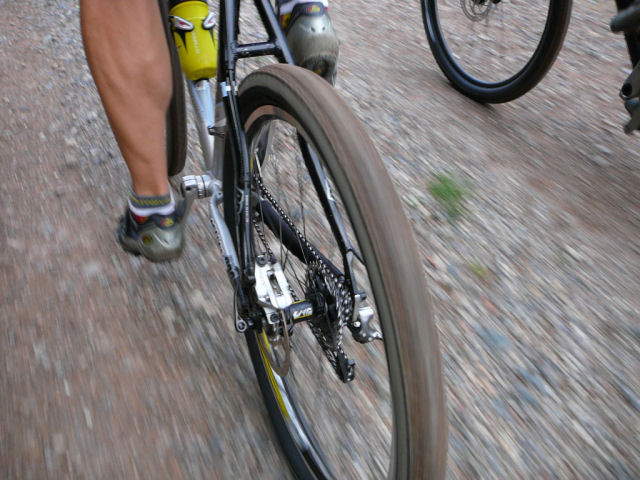
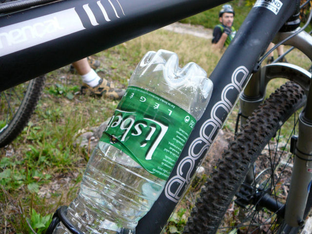
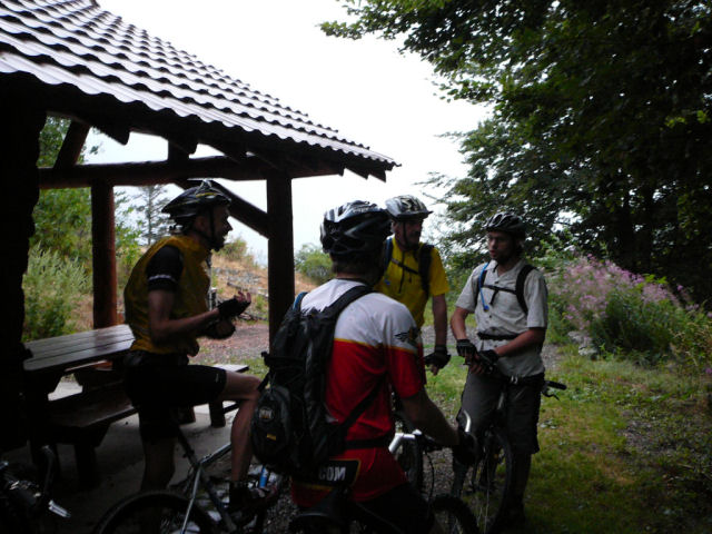
8 MTB (Christian, Denis, Maurice, Thierry, Yves, Gérald, Michel, Christophe)
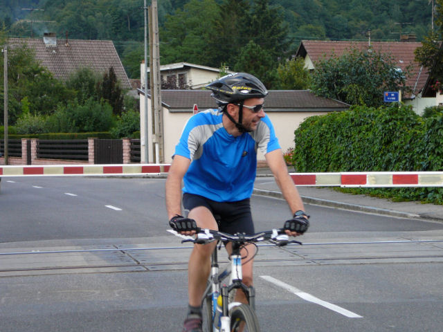
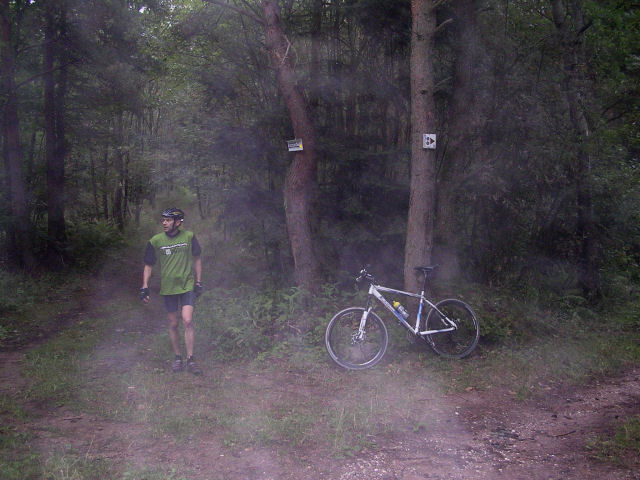
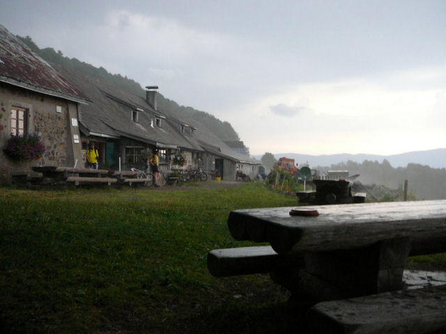
 18h31 Vieux-Thann (Maurice decides to start punctually; we don't wait the usual 10mn) -
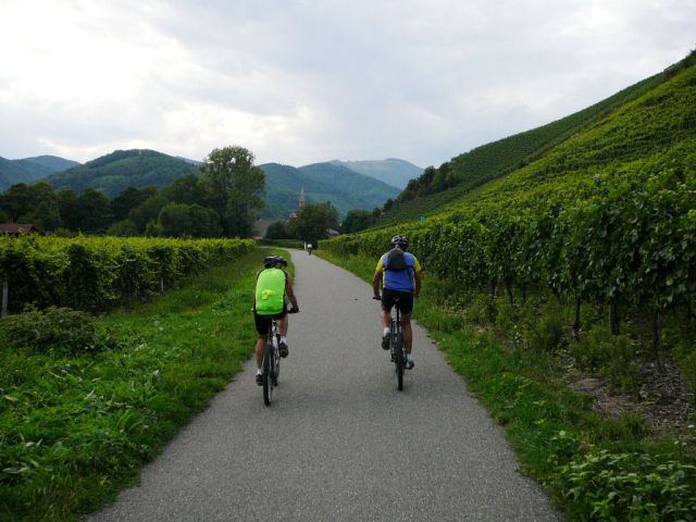
Bitschwiller (by the cycle track) - place Zundel (776m) -
firm inn of Thanner Hubel (1030m) 8:00 PM (and beginning of the rain) -
descent towards Bitschwiller by the usual small path -
8:35 PM Vieux-Thann
18h31 Vieux-Thann (Maurice decides to start punctually; we don't wait the usual 10mn) -
Bitschwiller (by the cycle track) - place Zundel (776m) -
firm inn of Thanner Hubel (1030m) 8:00 PM (and beginning of the rain) -
descent towards Bitschwiller by the usual small path -
8:35 PM Vieux-Thann
 nice weather! |
 right before the train |
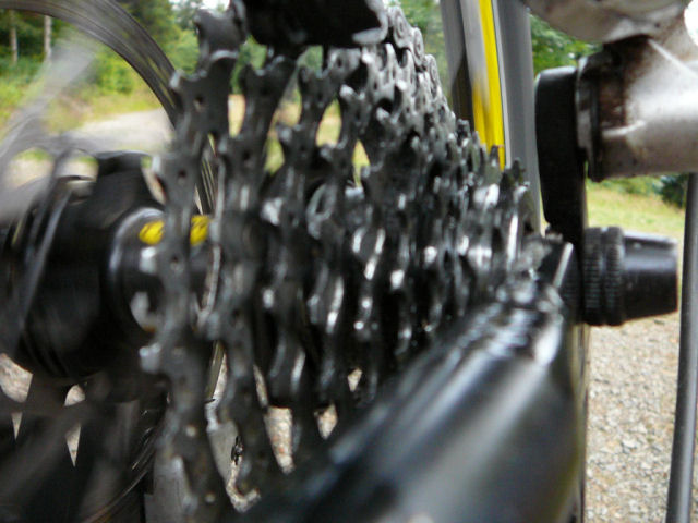
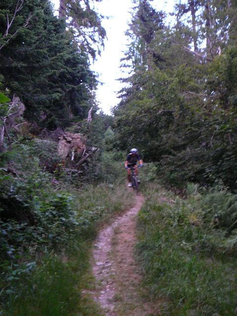
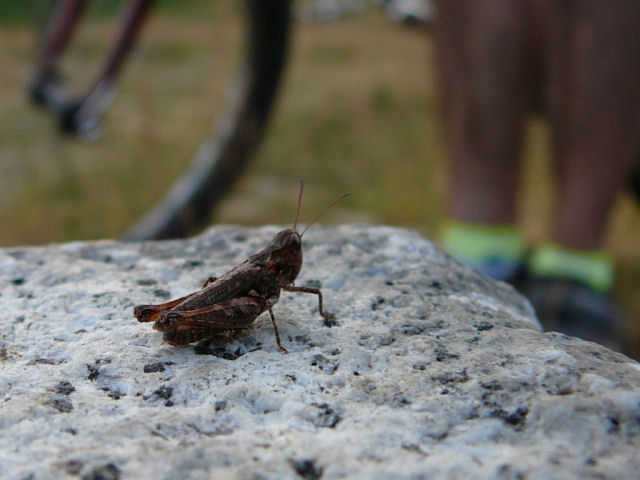
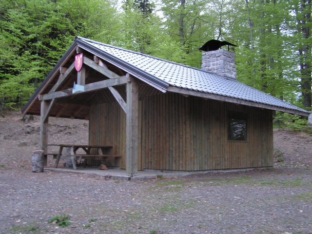
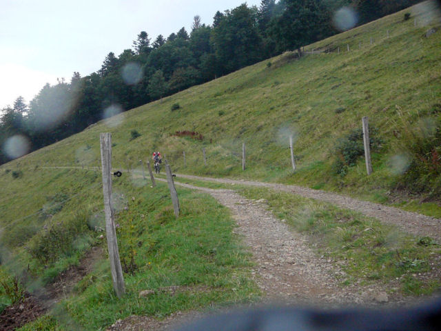 Thanner Hubel |
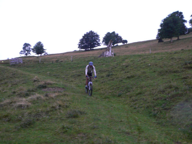 descent |
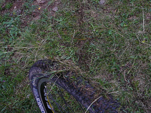 python to slip |
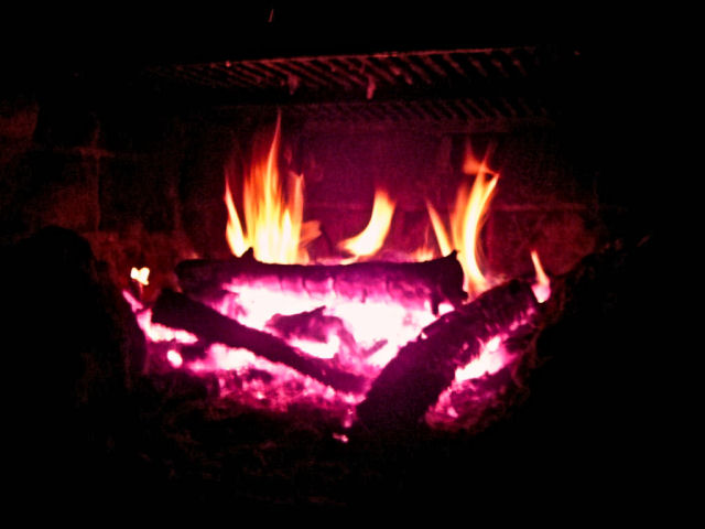 red (fire) |
 or black |
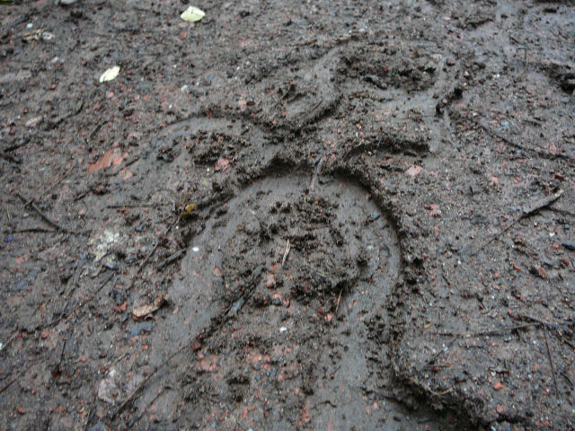
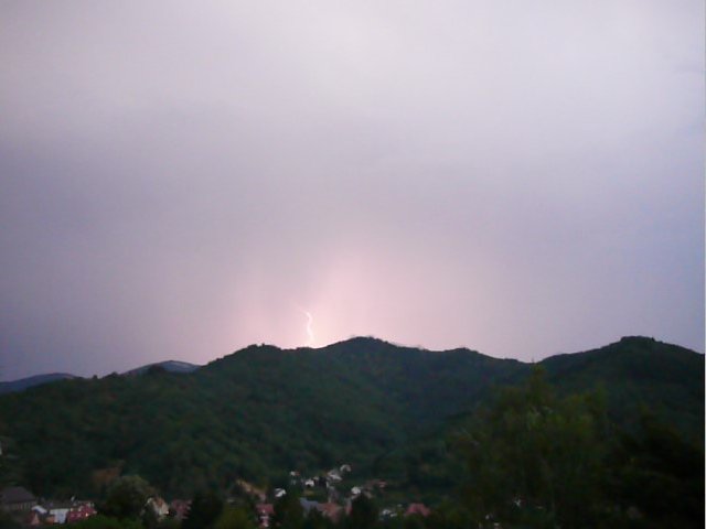
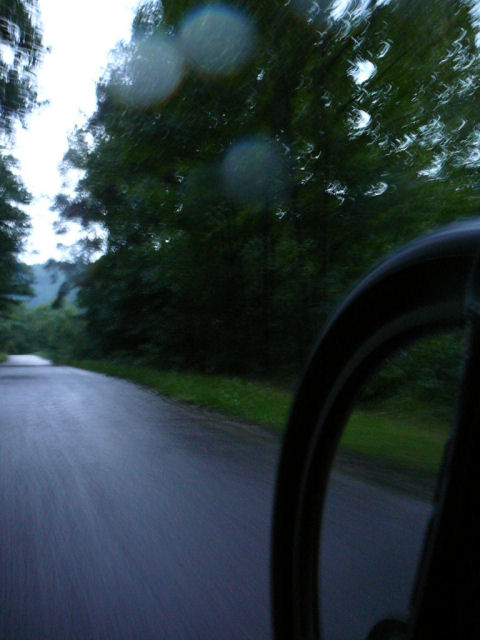 soaked!! |

- the small fire was in Vogesapfad hisla. yes, you need to stop!!
- no comment about weather from August
August 10, 2006
"Castella sylva"
20-17°C 68-62°F25 km 15.5 miles, 1h50 Elev.Gain 720m 2300 feet
8 MTB (Fabien, Gérald, Michel, Maurice, Laurent, Yves, Christophe and Christophe)
6:30PM Hartmanswiller, Thierenbach, Jungholtz, Heidebuckel "the heather", Bildstoeckle,
Col de Peternit, Castella sylva,
Rimbach Zell, we go up direction Holzwasen, Ste Anne, Jungholtz,
cycle track from the Jewish cemetery to Wuenheim then direction the cars..
inner loop in Hartmannswiller to see the strengthened church 9:00 PM
 go Michel  |
 vineyard and Thierenbach  |
 light gasoline !! 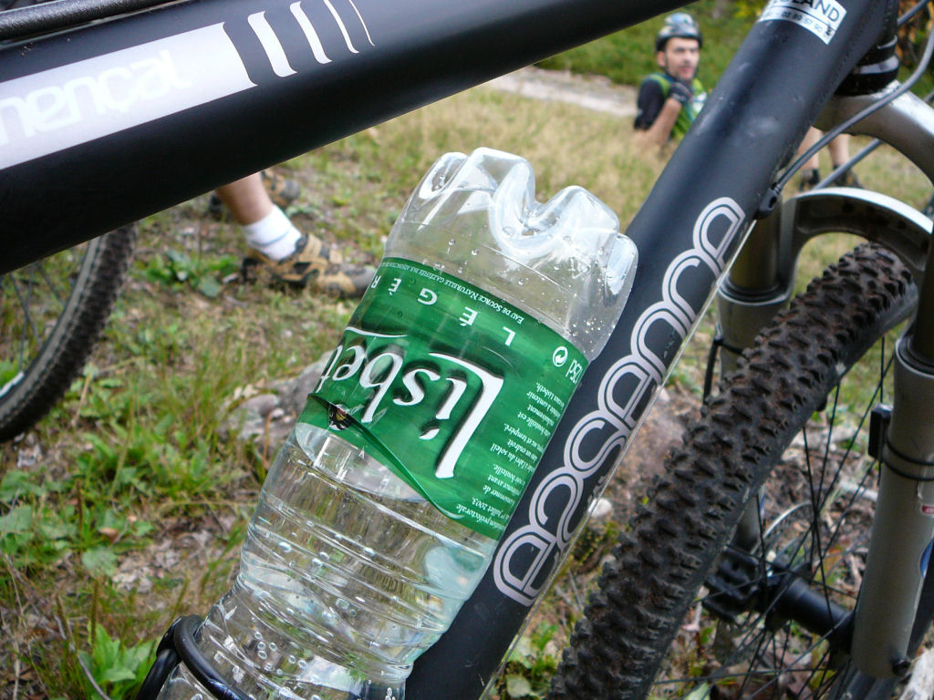 |
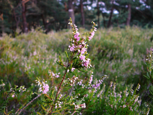 heather  |
 Christophe  |
 Fabien  |
 Yves  |
 trace of MTB? no! |
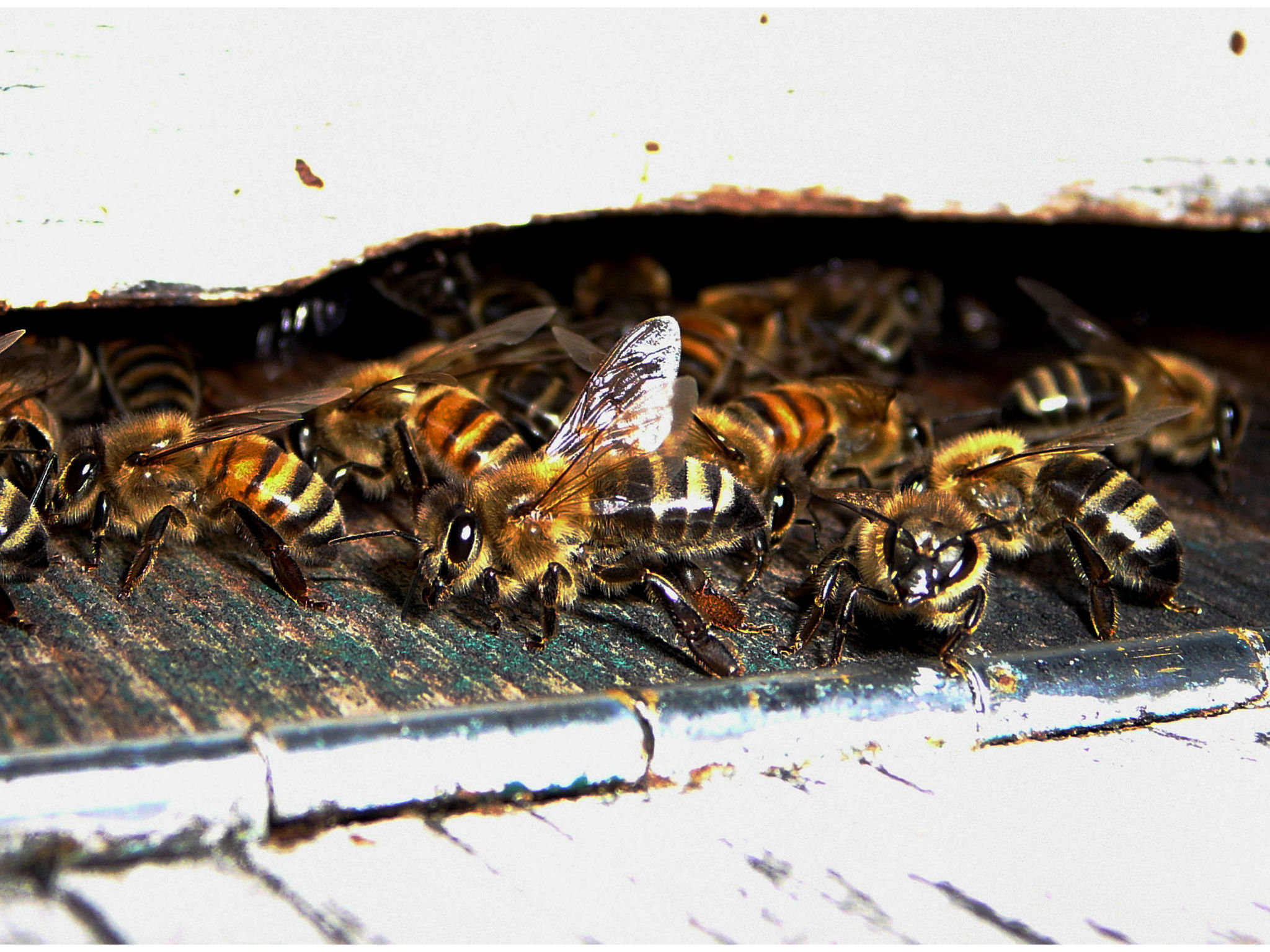
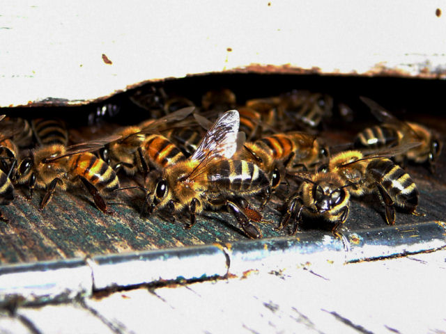 in the hive 
 |
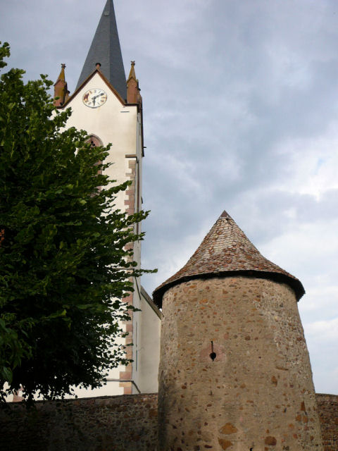 Hartmannswiller church  |
photograph of the church: find the error! (exact) answer from Christian: the time!!!
August 3, 2006
"Boenlesgrab"
18°C 64°F 2 MTB (Yves and Christophe)
6:30PM Guebwiller - Boenlesgrab (and return)
 searching ... (photo: CK 2) |
 it's not your bicycle !! (photo: CK 2) |

|
 "Et bien ce soir nous n'étions que deux !!!
Yves a eu beau chercher dans la forêt, il n'a trouvé personne !!
Et pourtant, pas une goutte de pluie, 18°C et une agréable montée au Boenlesgrab"
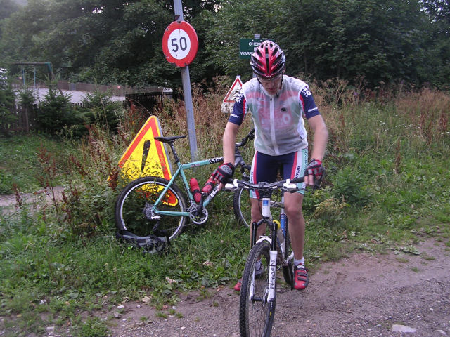
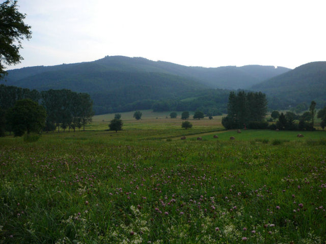
..... congratulation !!!July 27, 2006
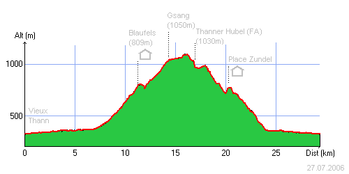
"storm at the Gsang"
 33-23°C 91-73°F
30 km 18.5 miles, 2h05 Elev.Gain 1060m 3500 feet
(est.)
8 MTB (Anthony, Gérald, Fabien, Maurice, Yves, Cédric, Manu, Christophe)
6:30PM Vieux-ThannWiller s/Thur (by the cycle track) - Blaufels (refuge)
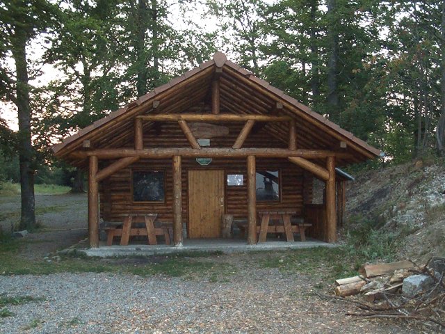 -
Gsang (1050m) 8:15 PM - Thanner Hubel - Blaufels - Place Zundel -
Bitschwiller - Vieux-Thann 9:25 PM
-
Gsang (1050m) 8:15 PM - Thanner Hubel - Blaufels - Place Zundel -
Bitschwiller - Vieux-Thann 9:25 PM
 Grrrrrr!!  |
 the guards from Gsang 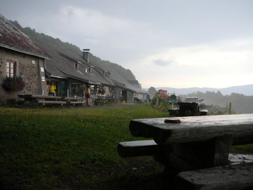 |
 flash |
 shelter 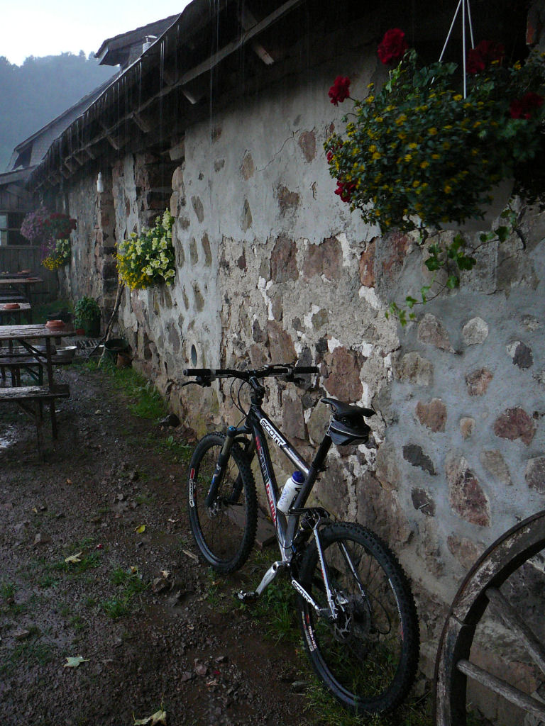 |
 at the Blaufels |
 the Thur 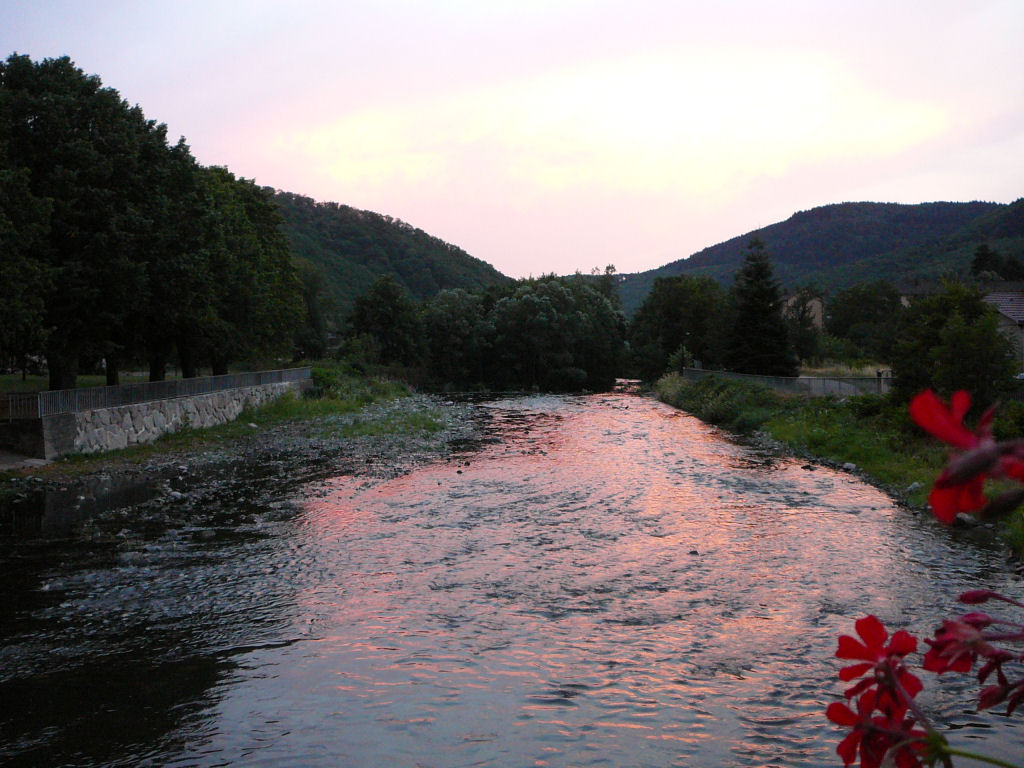 |
- we wait 15mn at the Gsang that the storm decides to move a little.
- the descent Thanner Hubel - Willer is always so marvellous!!
- same trip as the one from June 5, 2003 .... already 3 years!!
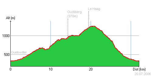
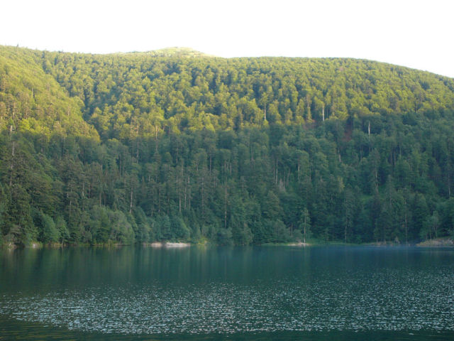
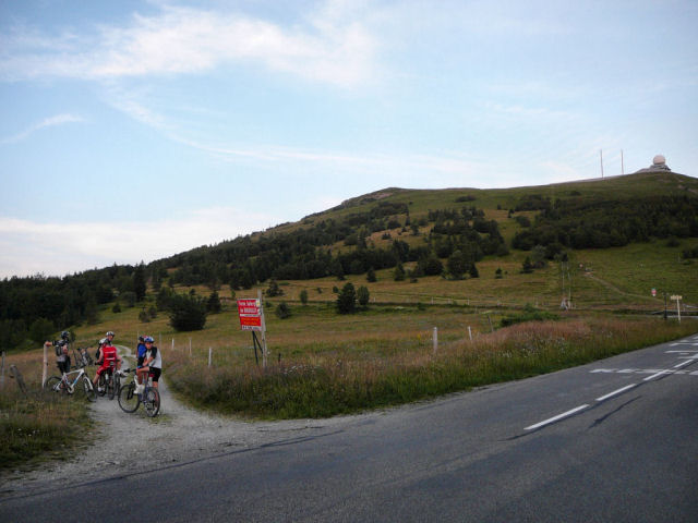
July 20, 2006
"lac du Ballon and Haag"
 37-27°C 98-80°F
32 km 20 miles, 2h30 Elev.Gain 1200m 3900 feet
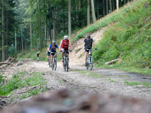
6 MTB (Anthony, Fabien, Didier, Maurice, Yves, Christophe)
6:30PM Guebwiller (320m)Pont St Barnabé - col du Schrangen - col du Wolfsgrube - Lieserwasen - Gustiberg (978m) - lac du Ballon (992m) 8:20 PM - Haag (1233m) 9:00 PM - Judenhut - Langmatt - Murbach - Guebwiller
9:45 PM
 brake pads are dead 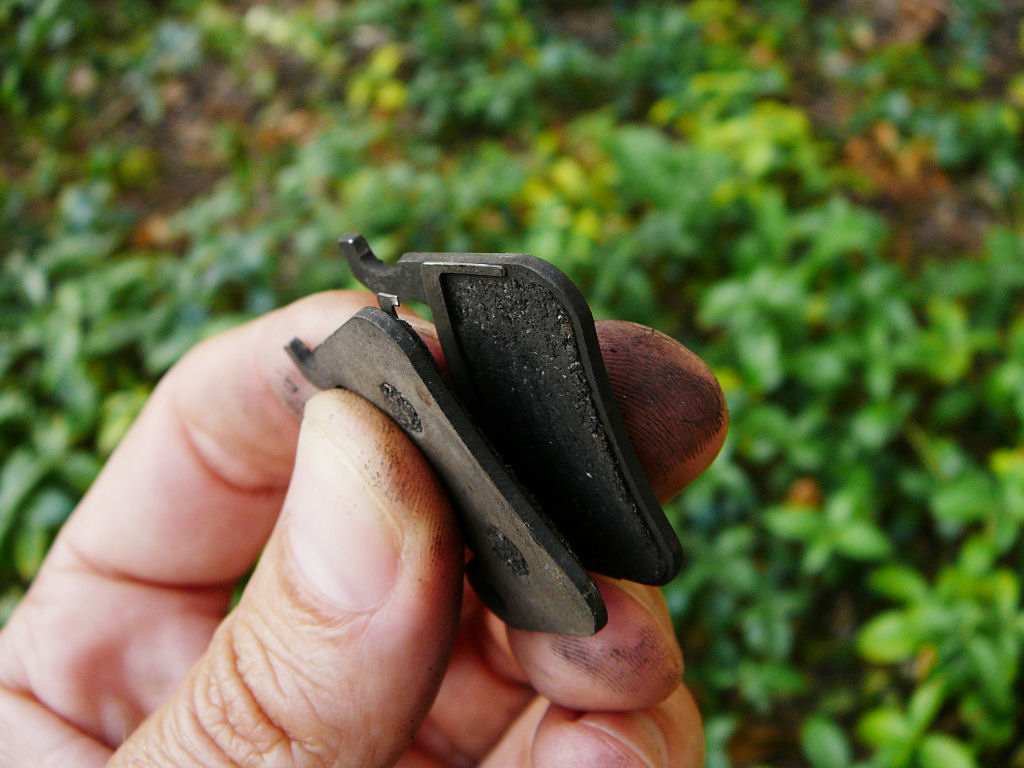 |
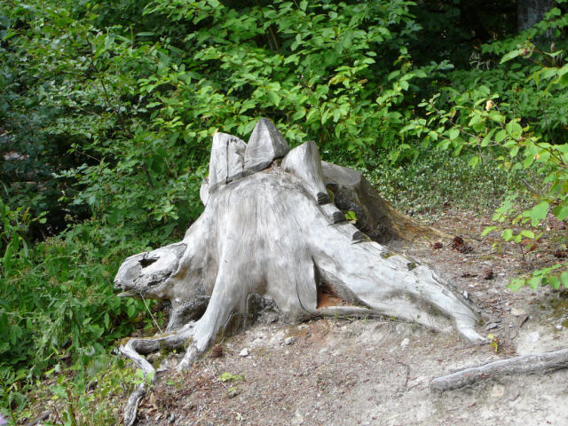 dinosaur (Wolfsgrubus)  |
  |
 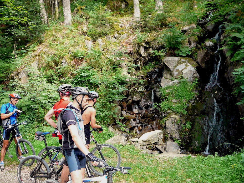 |
 in front of Gustiberg 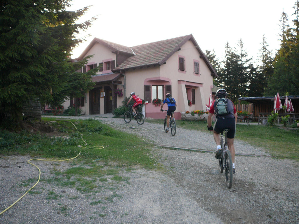 |
 lac du Ballon  |
 go Maurice, it's easy |
 Haag  |
 broom 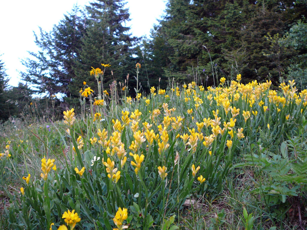 |
 Anthony |
- "squeak!!!" the brake pads need to be changed before the trip
- very hot temperature (37°C at the time of the departure), however nobody takes a bath in the lake of the Balloon? the excuse: no sun!!
- some inaccuracies concerning the last kilometer to join the Haag. The path with the ?yellow square? from Vosgean club is not reproduced on the map (1993) and there is also new paths.
July 13, 2006
"fireworks"
26-22-24°C 79-71-75°F25 km 15.5 miles, 1h40
2 MTB (Michel and Christophe)
appointment at 6:30PM in Guebwiller (330m)col du Bannstein (483m) - Plaine de Rouffach (881m) - Wintzfelden - Thannwiller (324m) - col du Bannstein - Schweighouse - Guebwiller
 take again energy  |
 Michel 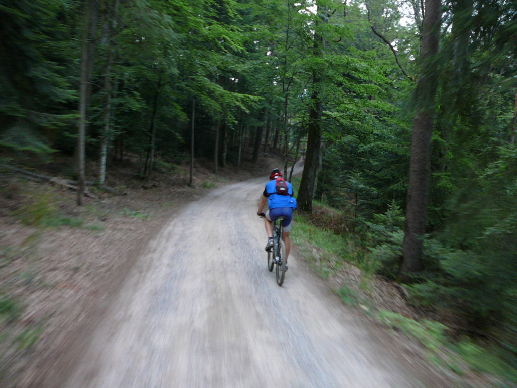 |
 towards Thannwiller 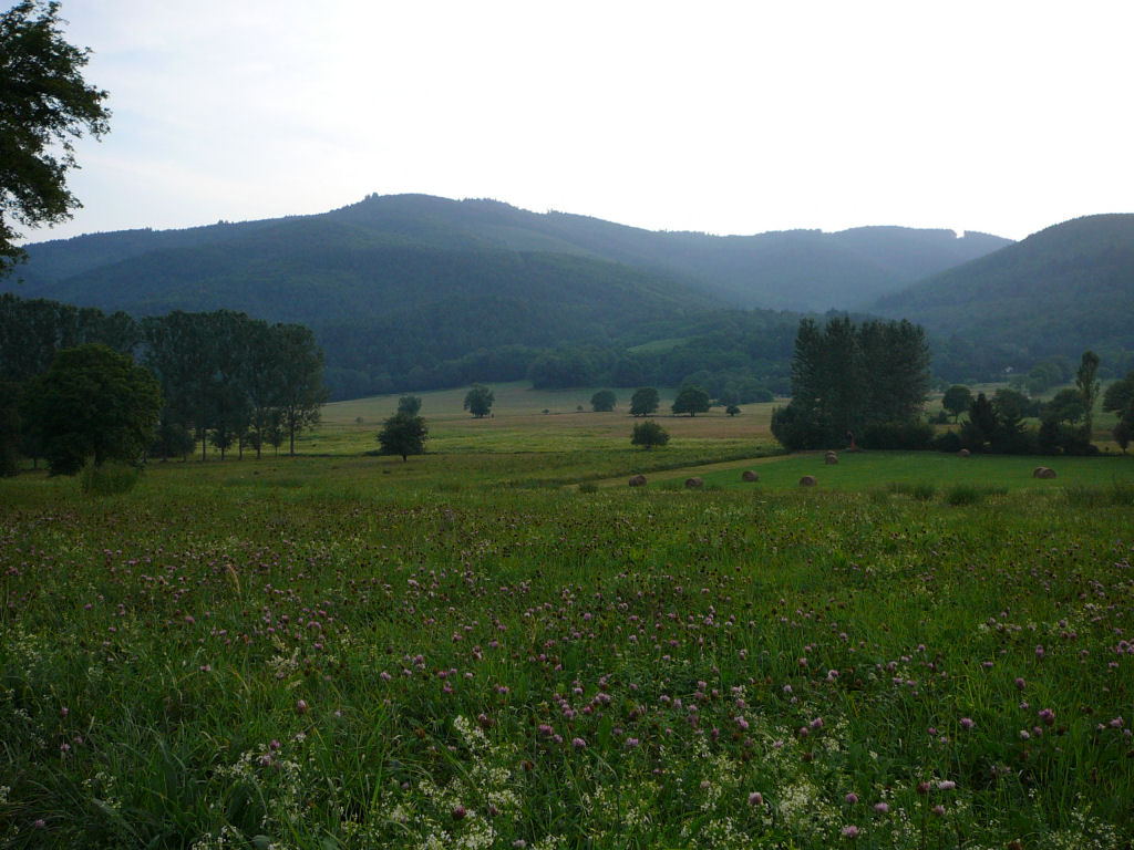 |
- ground still wet (storm in the afternoon)
- no time to sleep, there is a fireworks to see this evening!!!!
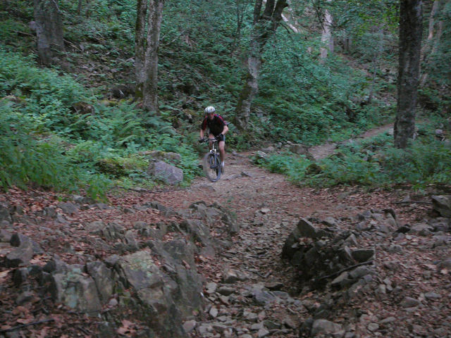
July 6, 2006
"abbey of Murbach"
25-21°C 77-70°F24 km 15 miles, 1h50 Elev.Gain 780m 2500 feet
 (.kml)
(1)
(.kml)
(1)6 MTB (Maurice, Christian, Thierry, Laurent, Christophe et Christophe)
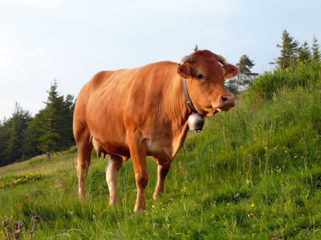
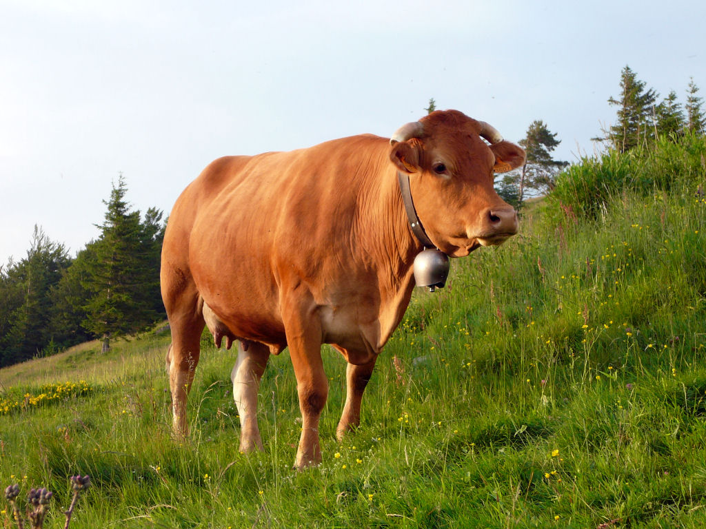
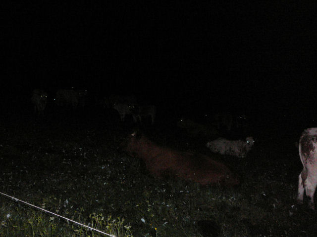
appointment at 6:30PM in Guebwiller ...Pont St Barnabé - Col de Schrangen - Col de Wolfsgrube - Lieserwasen - Col de Judenhut (973m) - Ebeneck (its cows, its superb sight...) - Munsteraeckerle - Col de Peternit - St Barnabé - Buhl - Guebwiller
  |
  |
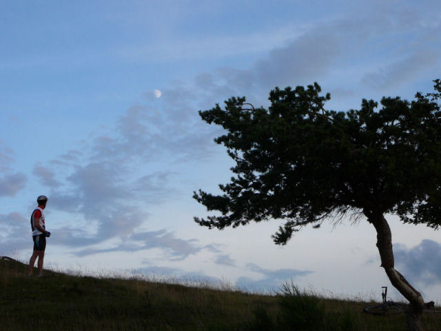 moon  |
 dark sky  |
 jump!!  |
 at the Ebeneck 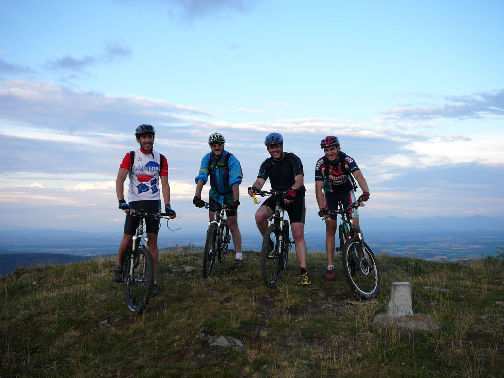 |
- rise with a very soft slope (Schrangen - Wolfsgrube), some technical parts "sentier des racines" (path of the roots)
- avoid OBT (over the bar) (the wet roots do not forgive)
- practically the same trip as that of the June 12, 2003
- to reach (by foot) Ebeneck, follow Jungholtz - Rimbachzell - Rimbach près Guebwiller
July 1, 2006
finally something new about maps for Vosges (and also complete France).Launched one week ago, the "concurrent" from Google maps
 seems to work better
www.geoportail.fr
 maps |
 aerial imagery |
June 29, 2006
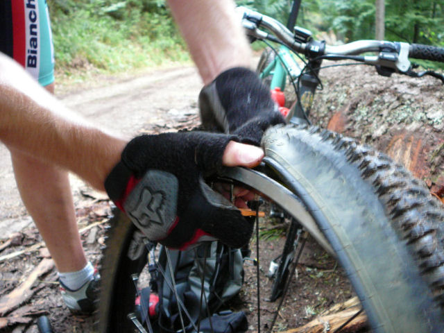
"Steinlebach and night descent"
25-16°C 77-61°F19+7.5 km 11.8+4.6 miles, 1h35+30mn Elev.Gain 780m 2500 feet
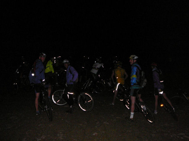
20 MTB (Jean, Yves, Michel, Maurice, Christian, Eric, Loic, Thierry, Franck, Fabien, Gérald, Anthony, Denis, Didier, Laurent, Christophe, Roger, Jean-Claude, Stéphane, Fabrice)
appointment at 6:30PM at the church of Linthal - we go up by car until
Remspach - loop from the collar of Lauchen (1195m) - Langenfeldkopf - Hilsenfirst - collard of Hilsenfirst (rain ... 3 drops) - Langenfeldkopf -
end of the loop (return to the collar of Lauchen) - collard of Oberlauchen - Breitfirst - path parallel to the "routes des Crêtes" (road of the Peaks) -
9:30 PM Steinlebach (farm inn) "small collation" by Jean (the intendance is always excellent!) .....around 11:00 PM it's the departure for 30mn of night descent (to reach Remspach). The visibility is very good (my foot) = "mon oeil" (?) and we have no problem (2 punctures)...
 group  |
 Jean and Roger 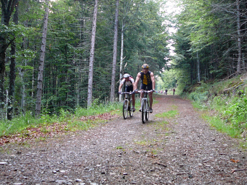 |
 Yves (photo: Steph) |
 (photo: Steph) |
 Christian ...  |
 Franck ... 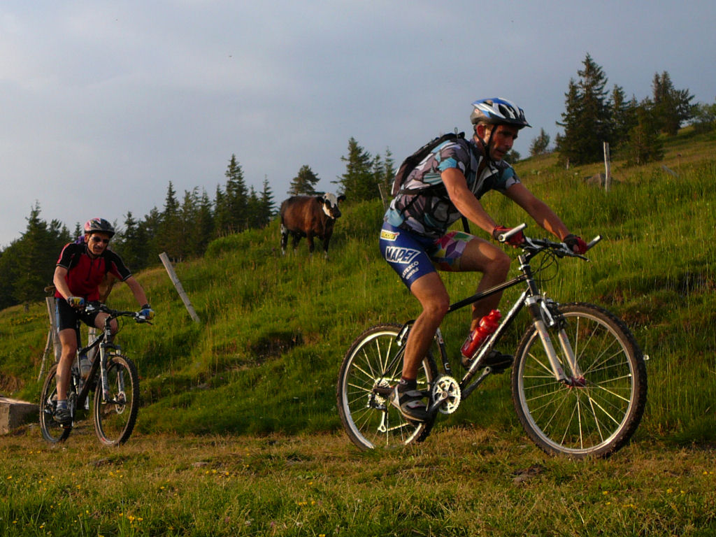 |
  |
 objective in sight  |
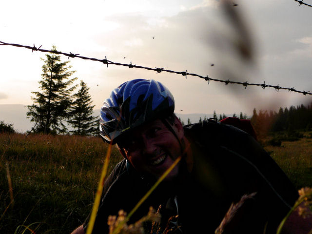 barbed wires 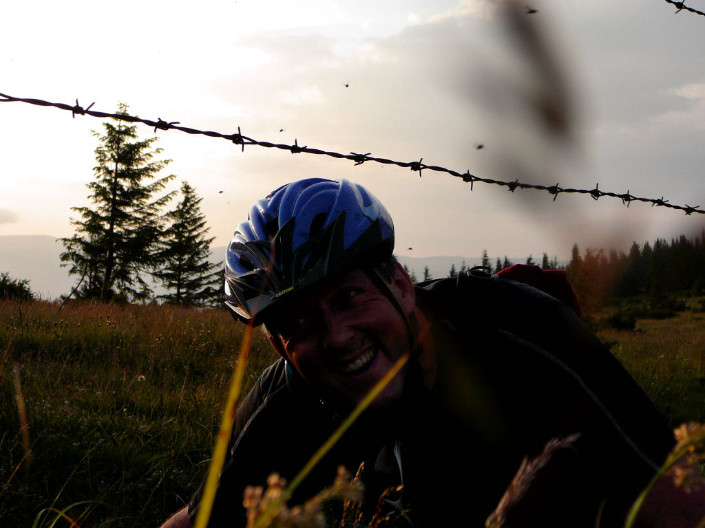 |
 field of bicycle 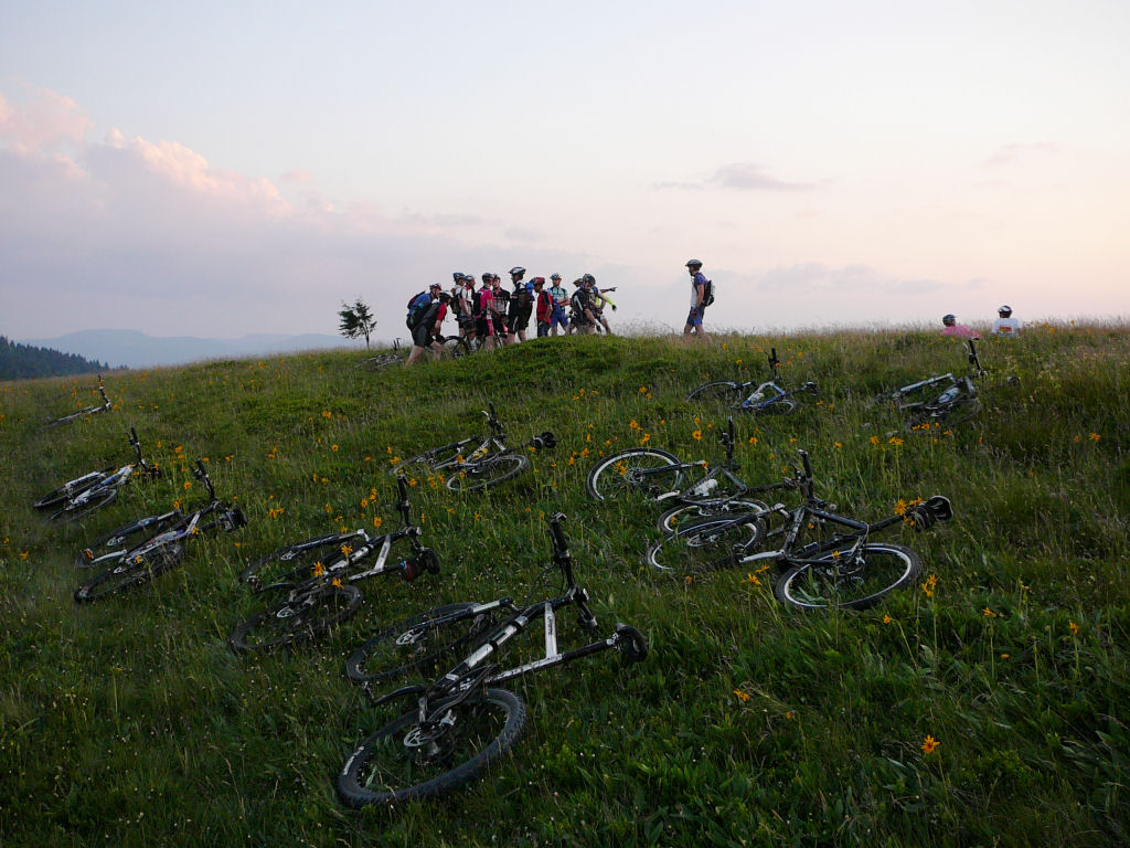 |
 Michel 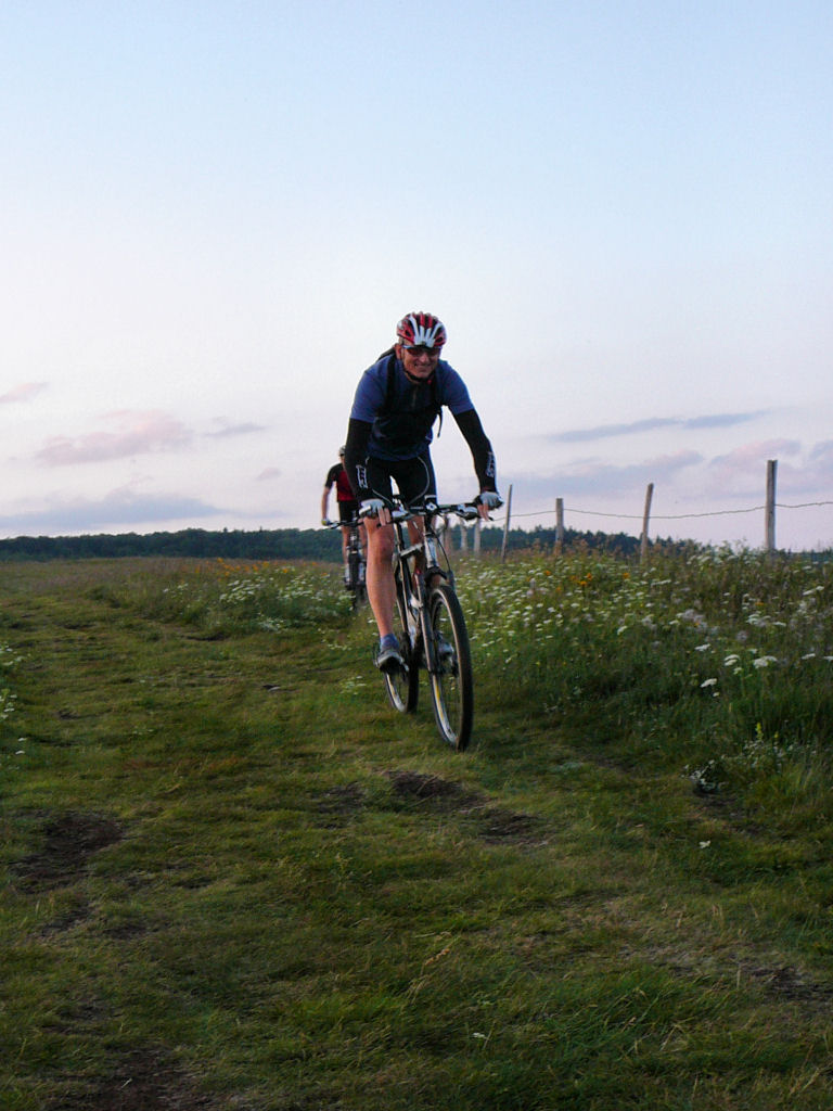 |
 small plate  |
 we don't play 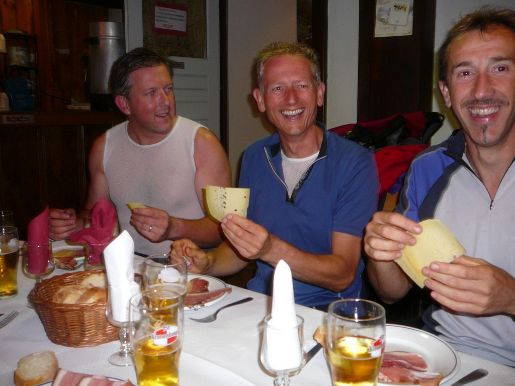 |
 night life 1  |
 night life 2  |
 (night) puncture 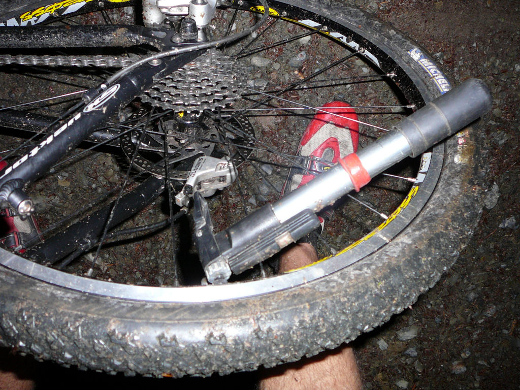 |
- no storm (contrary to the forecasts), but the ground was really wet causing some falls.
- it will be necessary to find a mechanism to slow down the power of the "Laurent 110 ch" or to find unbreakable chains.
- Thanks a lot to Denis.... at least a good "stroll", some should take courses by him!!
and before?