
 and after!
August 16, 2007
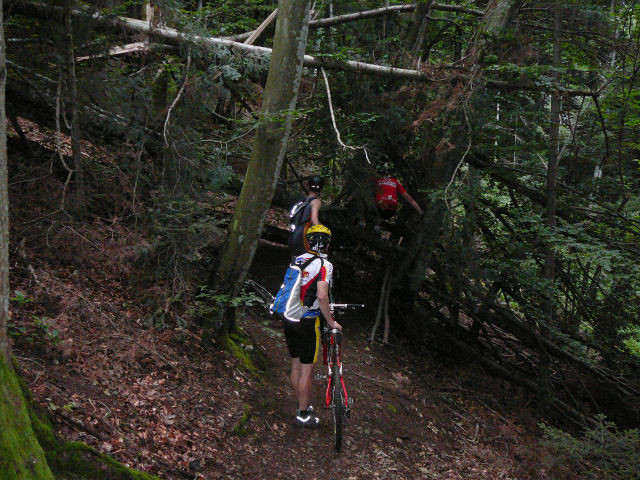
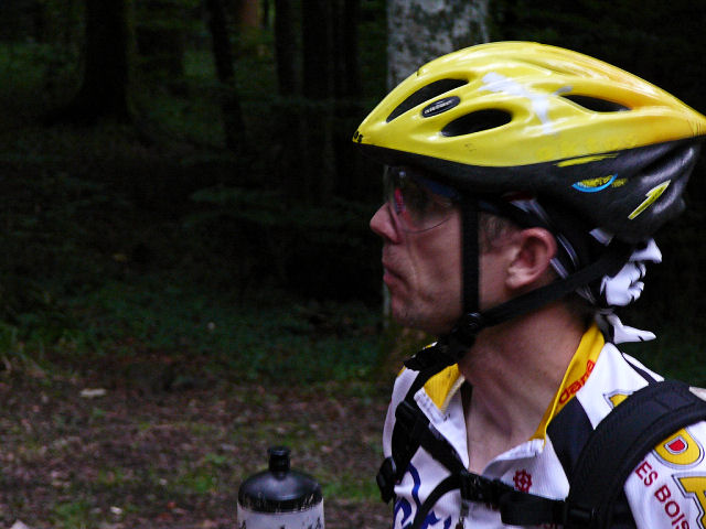
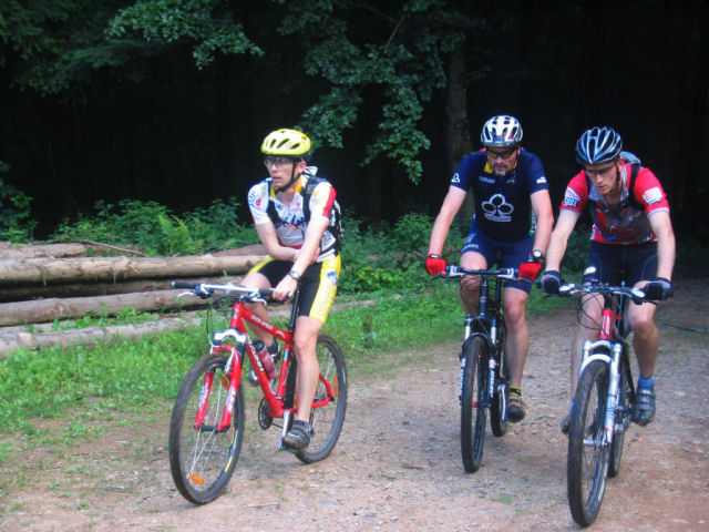
"Ebeneck"
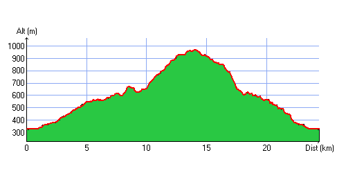
 24-16°C 75-61°F
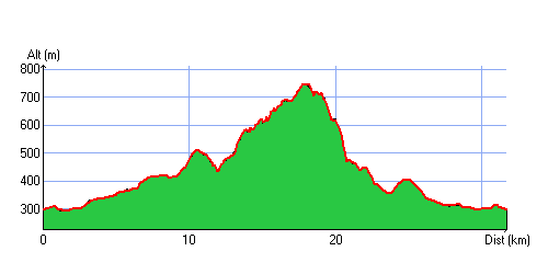
24 km 14 miles, 2h Elev.Gain 895 m 2900 feet

3 MTB (Denis, Thierry, Christophe)
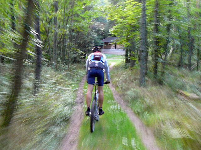
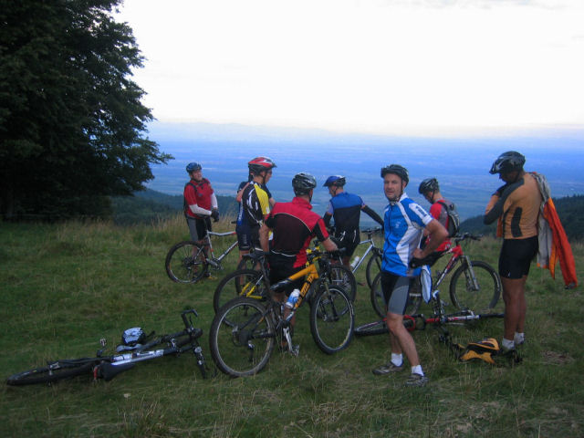
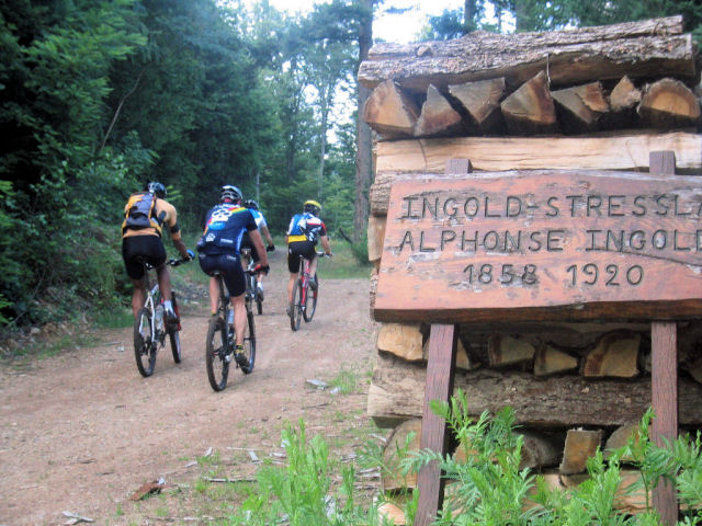
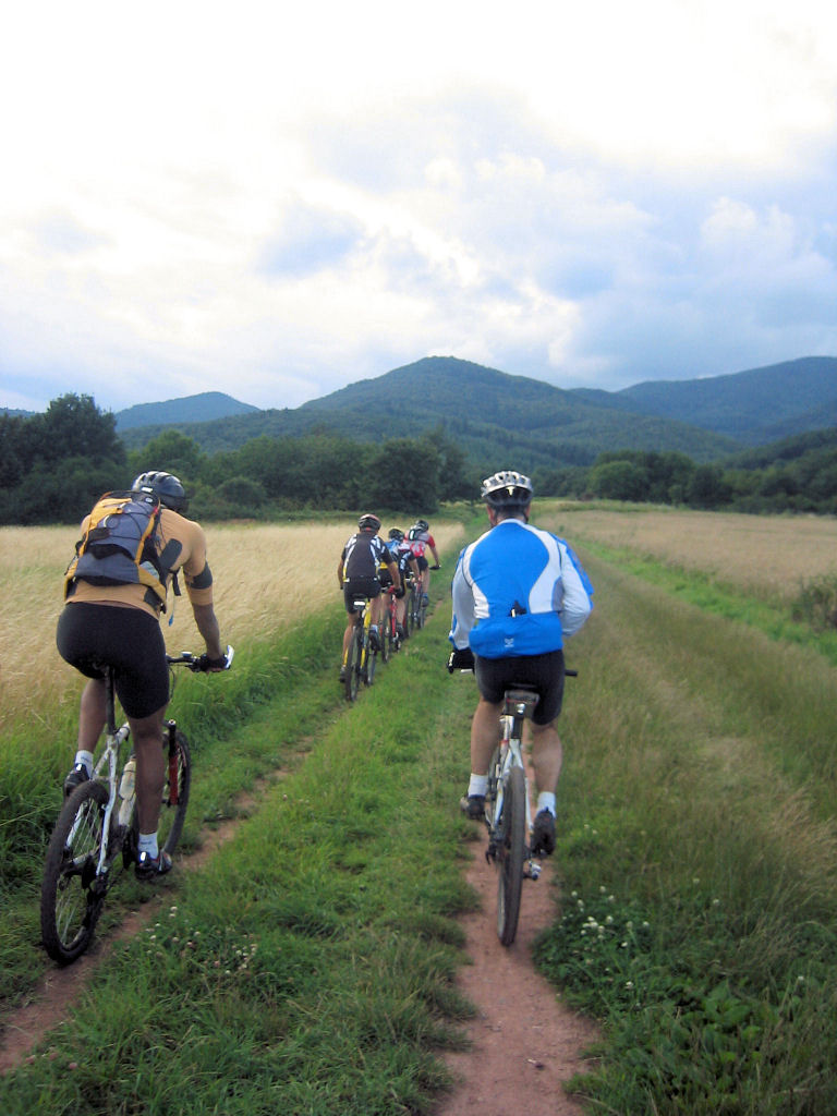
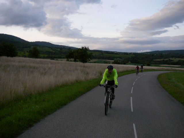
 (private) appointment at 6:30PM in Guebwiller.
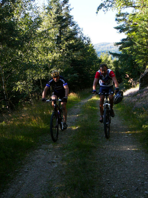
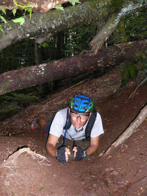
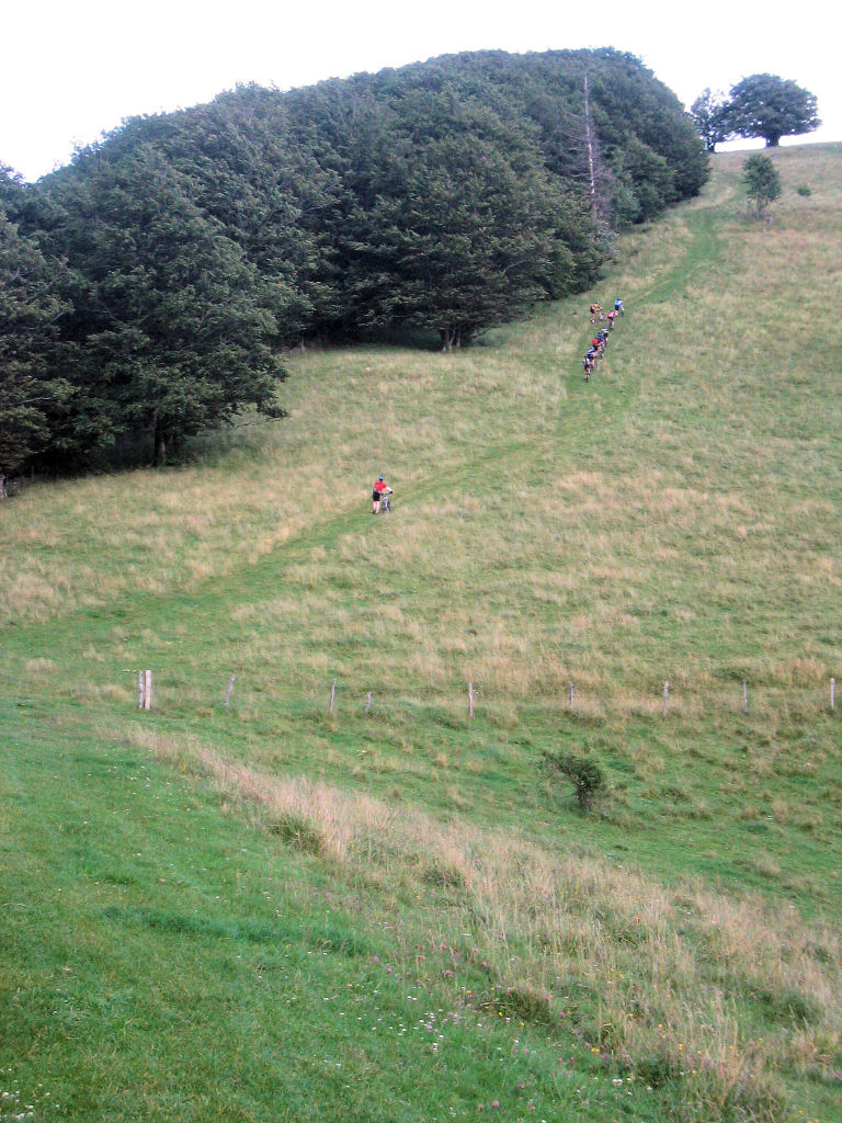
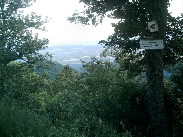
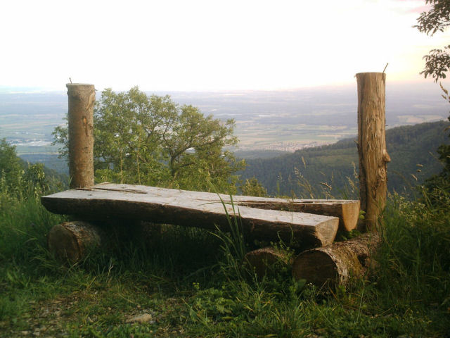
Buhl - Pont St Barnabé - Col de Schrangen - Col de Wolfsgrube - Lieserwasen - Col de Judenhut (973m) - Ebeneck (and its cows) - Munsteraeckerle - Col de Peternit - Rimlishof - Buhl - return time
9:10 PM
 sun !! 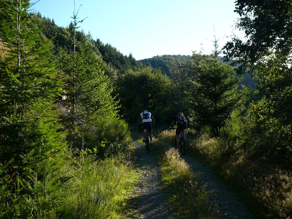 |
 heathers 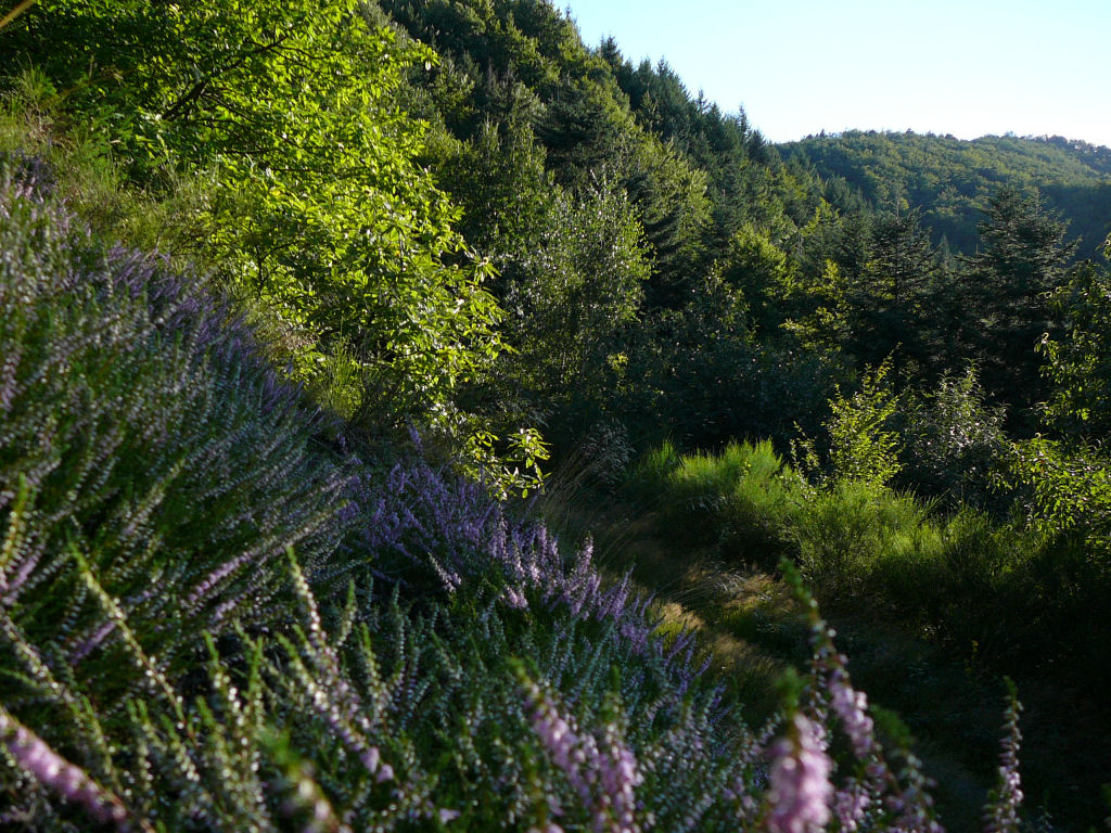 |
 rise 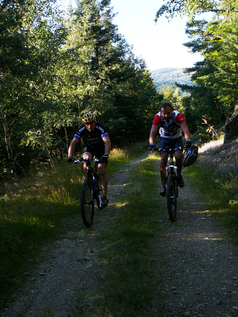 |
 motorway 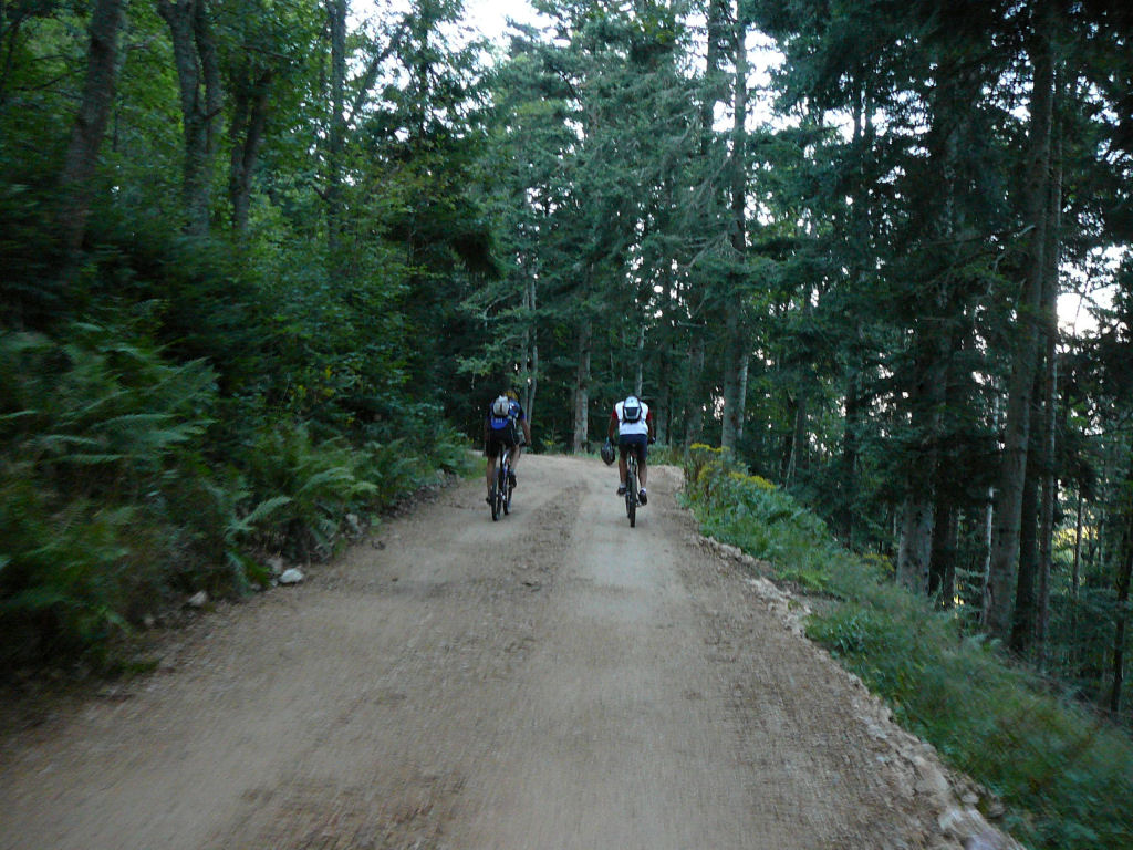 |
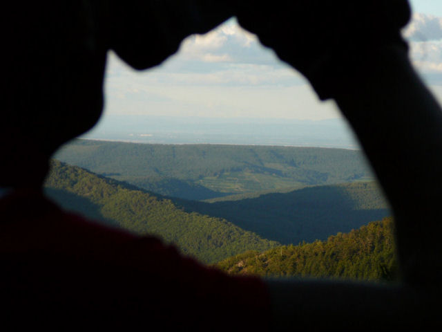 sight  |
 blue and red 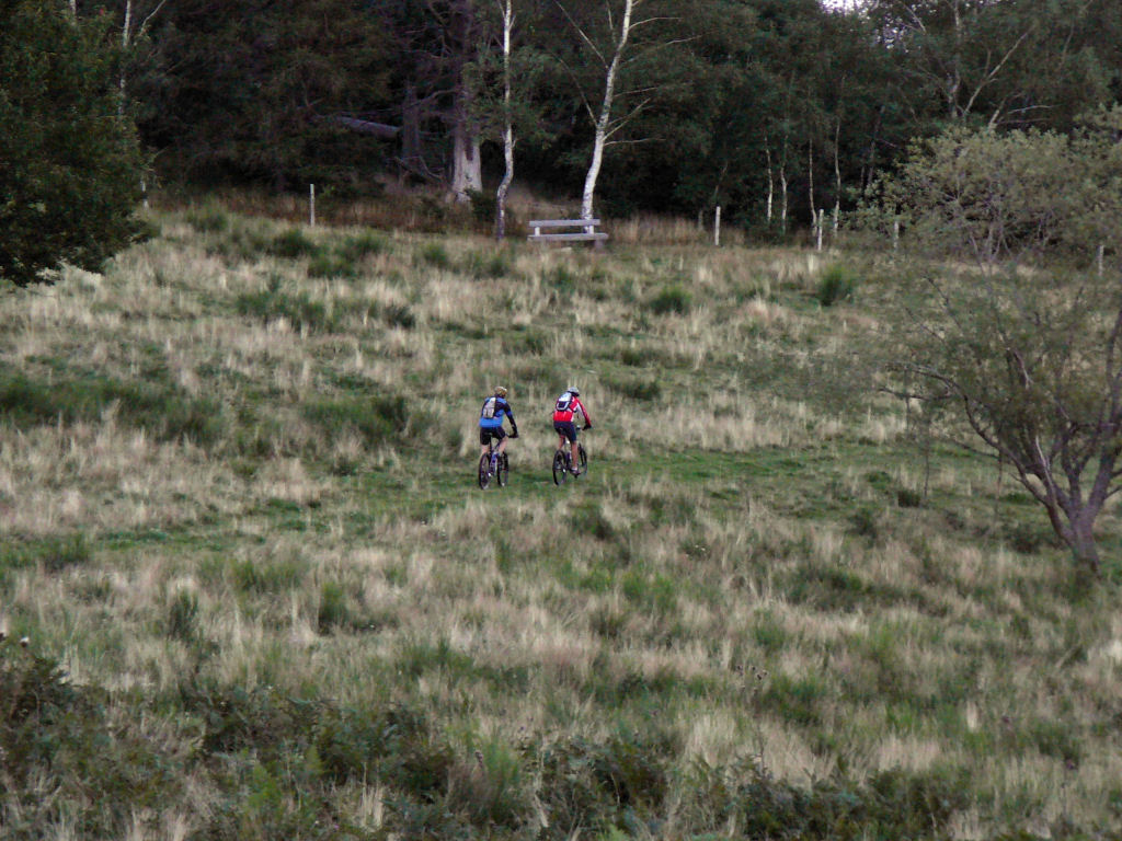 |
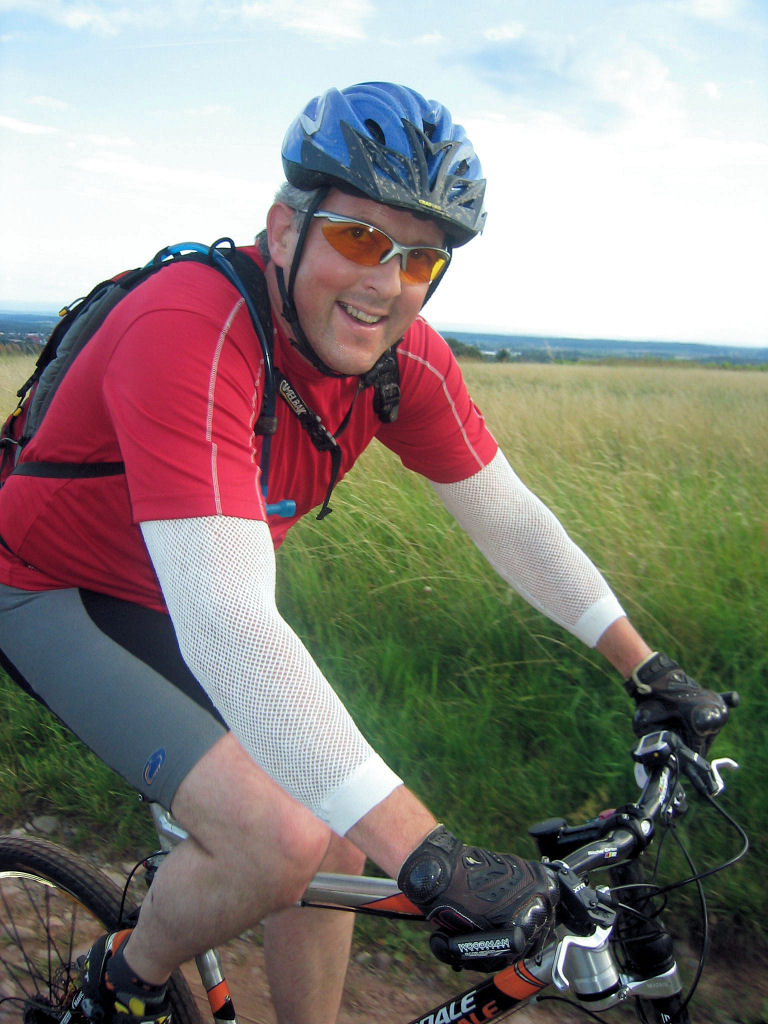
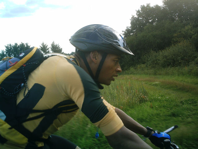
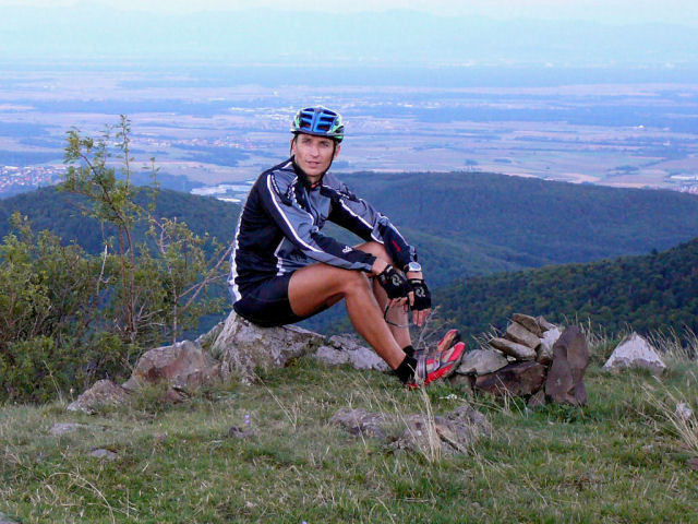 Christophe  |
 Denis 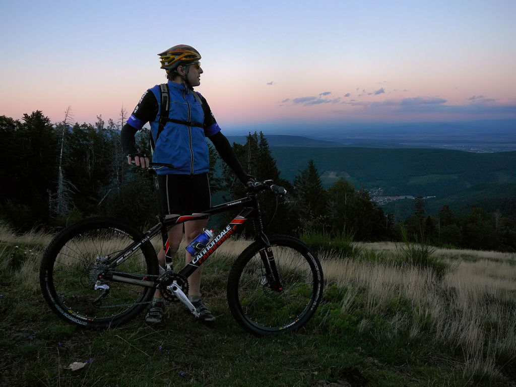 |
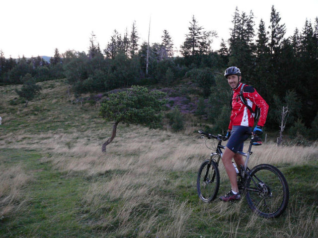 Thierry  |
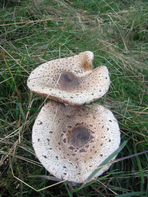
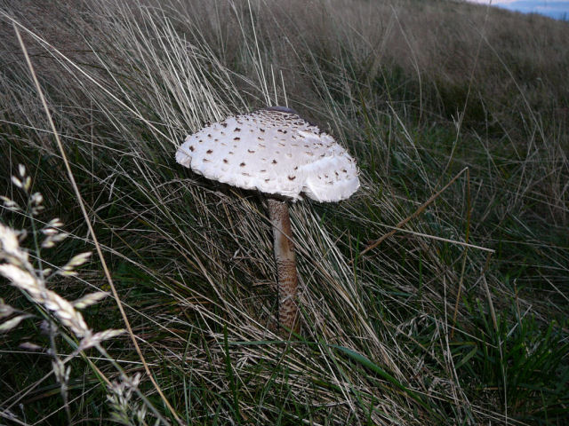 mushroom  |
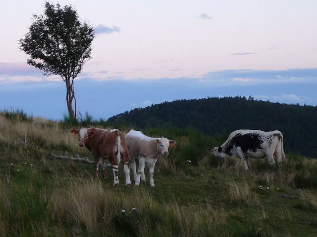 calf  |

- sorry boys, the trip was not programmed!! the weather forecast was not really good. It's only 3 hours before that Christophe calls Thierry.
- same trip: 2006 or 2002
August 2, 2007
"petite balade par la carrière de Bergholtz"
25-22°C 77-71°F21 km 13 miles, 1h40 Elev.Gain 630 m 2060 feet
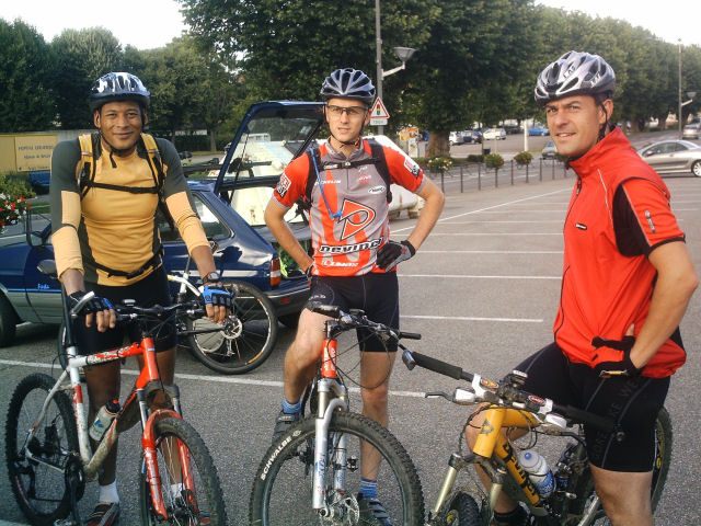
2 MTB (Michel, Christophe)
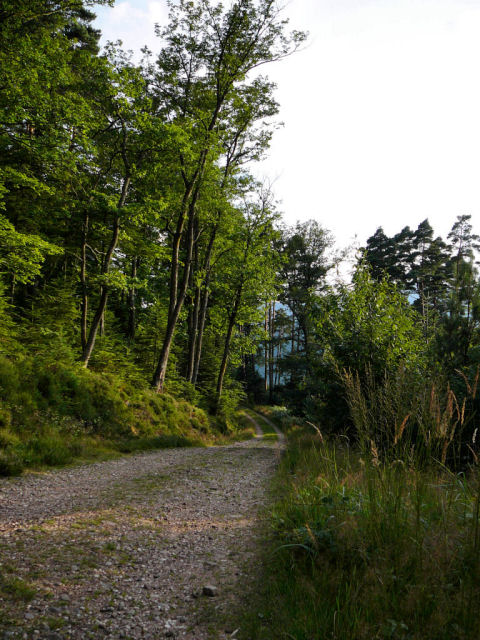
appointment at 6:30PM in Guebwiller.vineyard, (old) quarry of Bergholtz, col du Dreibannstein, col du Bannstein, col du Dreibannstein, return to Guebwiller
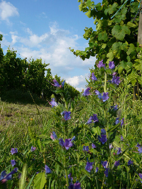 vineyard |
 quarry |
 Michel |
 path |
July 19, 2007
"Michelbach"
 27-24°C 80-75°F
32 km 20 miles, 2h15 Elev.Gain 730 m 2400 feet
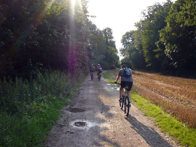
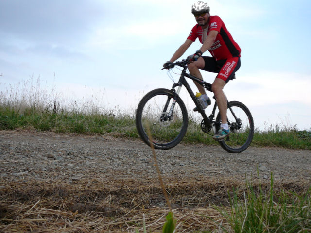
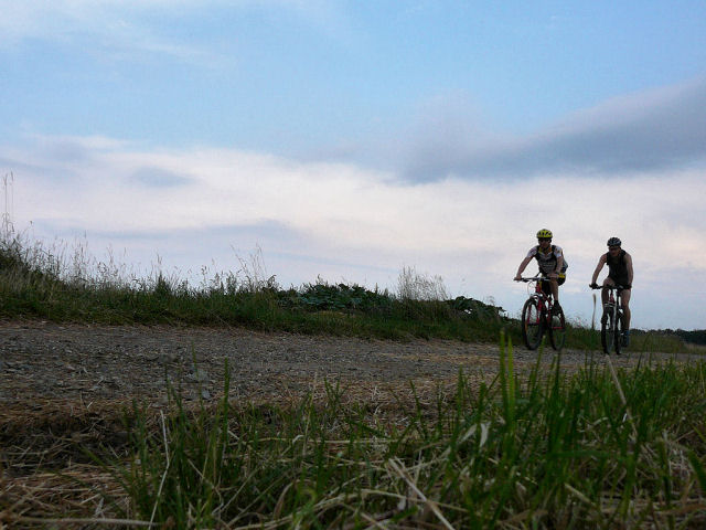
5 MTB (Didier, Frédéric, Hervé, Thierry, Christophe)
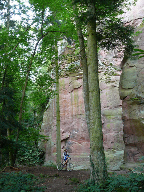
appointment at 6:30PM in Schweighouse-Thann We await 10mn then we go along the river (Doller) during 500m - arrival at the dam from Michelbach and its storks - rise until Rammersmatt then small descent (0,7 km) to arrive at the entry of the narrows.... (virgin forest look). towards Hundsrucken and small path towards Weierlé (709m). Descent: col du Teufelsgrund (600m) - road D36 (Rammersmatt - Leimbach) - Roderen - Aspach-le-bas - Schweighouse-Thann
9:30 PM
 departure |
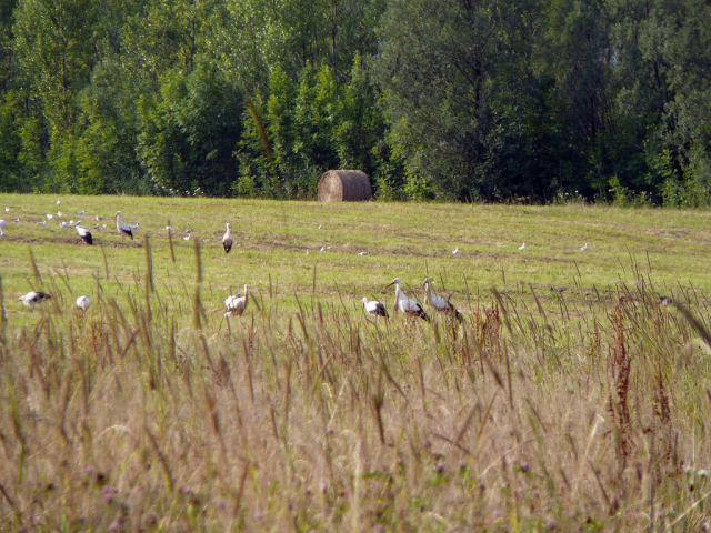 storks 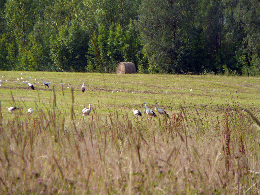 |
 Didier |
 duet |
 Thierry 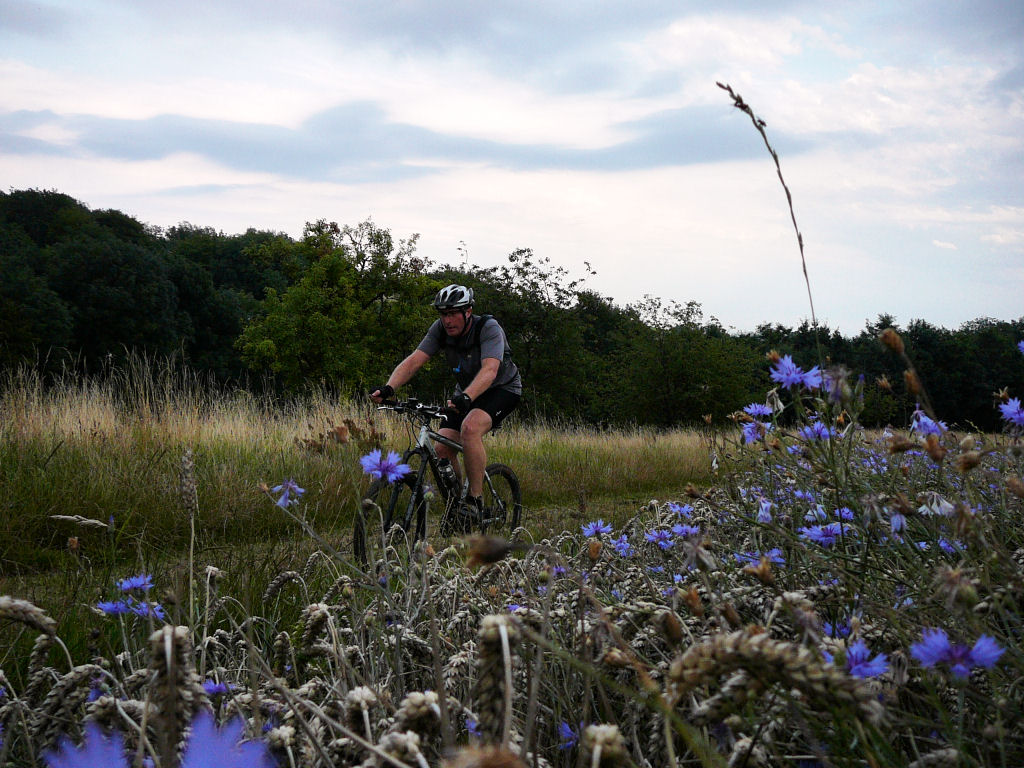 |
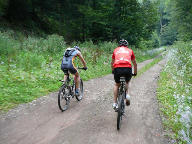 duet |
 virgin forest 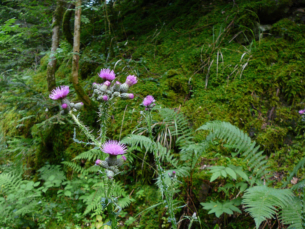 |
 sheep 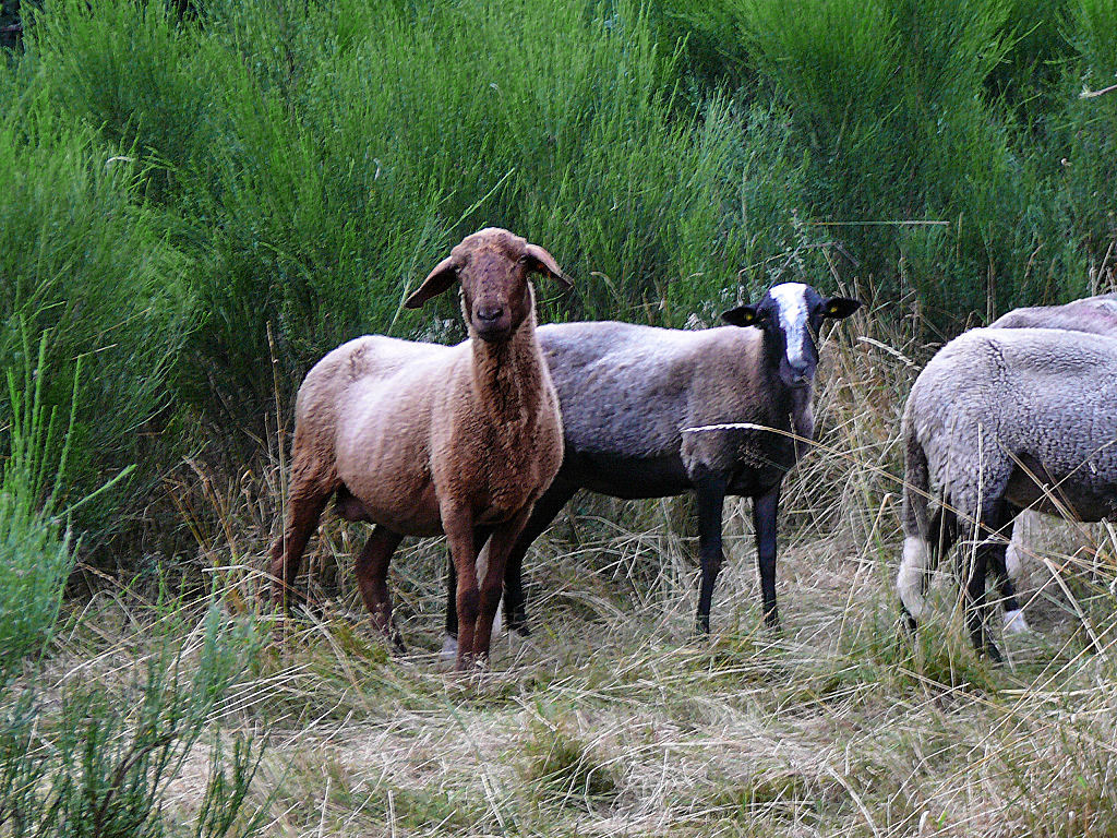 |
 blocked |
 crawl |
 Hervé |
-
 5 minutes only were missing not to be wet (... puncture from Christophe)!!!
- ground really sludge .... it rained a lot before!!
- maps are from 24/07/2003
July 12, 2007
"Vieil-Armand"
23 km 14 miles, 3h00 Elev.Gain 775 m 2500 feet
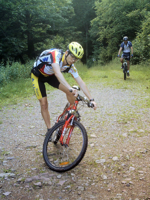
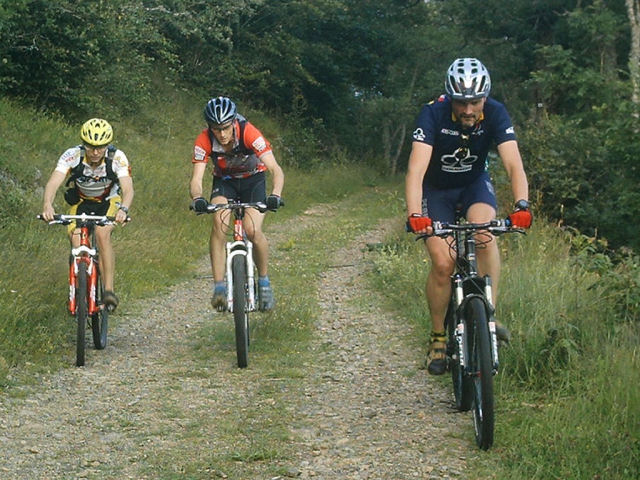
9 MTB (Laurent, Olivier, Fred, Gabriel, Thomas, Thierry Z., Hervé, Didier, Christian)
appointment at 6:30PM in CernayChristian is the boss ....
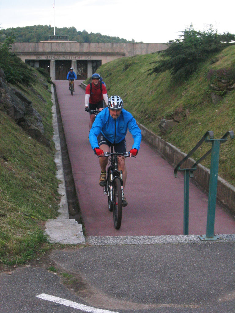
trip: Cernay - Camp Turenne - Freundstein - Molkenrain (light bearing) - Molkenrain - Silberloch - Hirtzentein - Hatmannswiller - Uffholtz - Cernay
- photographer 1: Thierry
  |
 |
 |
 |
  |
  |
  |
  |
- photographer 2: Christian
 |
 |
 |
 |
 |
 |
- thank you to our 2 reporters
- 2 falls: Christian - Laurent
.... nevertheless not as serious as that from Gérald (neck of femur)! Courage !!!
July 5, 2007
"borne jaune"
16-14°C 61-57°F36 km 22 miles, 2h28 Elev.Gain 940 m 3000 feet
4 MTB (Christian, Eric, Laurent, Christophe)
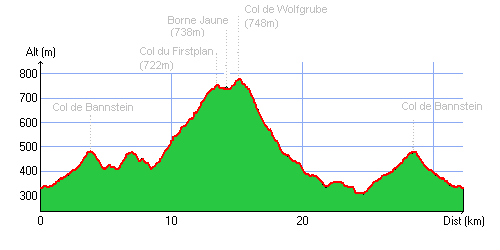
appointment at 6:30PM in Guebwillercol de Bannstein - Wintzfelden - col du Firstplan (722m) - Borne jaune - col du Wolfsgrube (746m)
20h30 - descent ... towards Osenbach - Wintzfelden -
return by the road via the collar of Bannstein 9:45 PM
 cloud  |
 pond 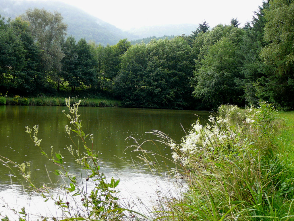 |
 anemone 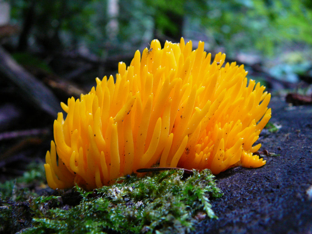 |
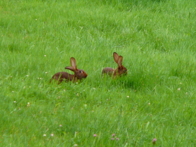 rabbit 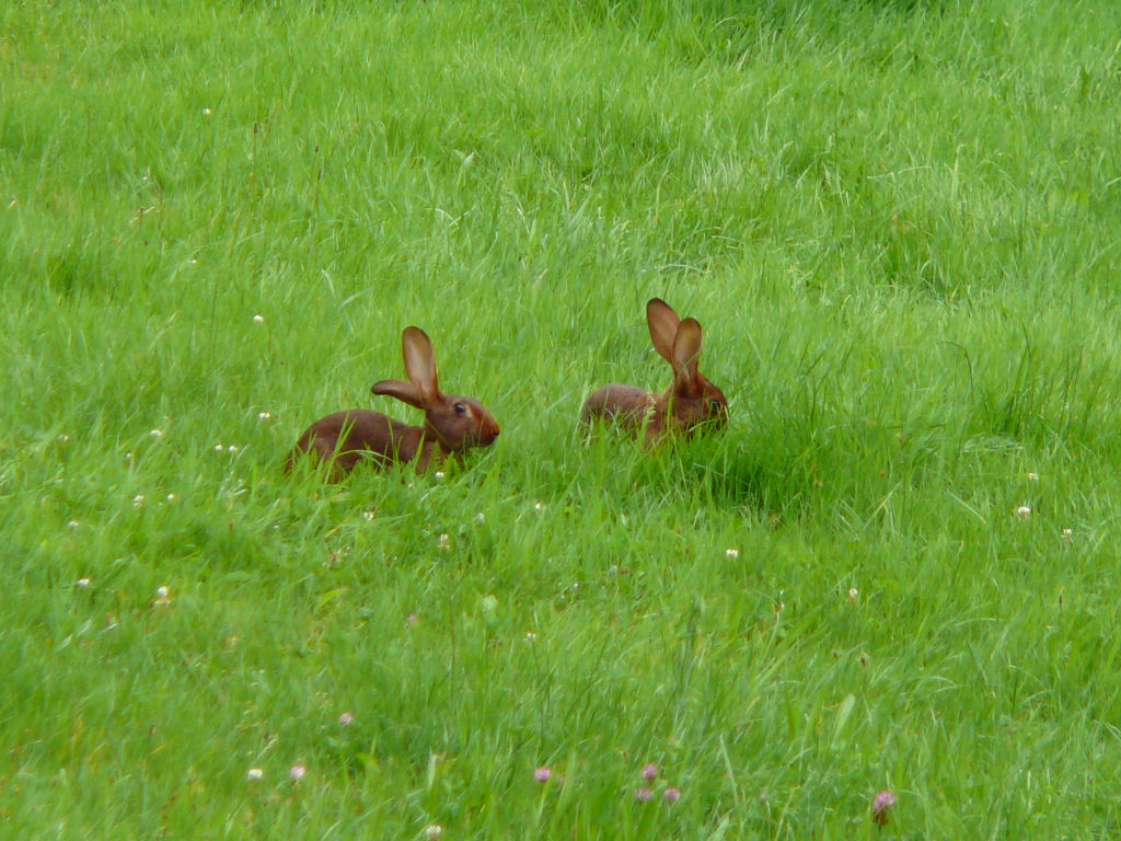 |
 OK 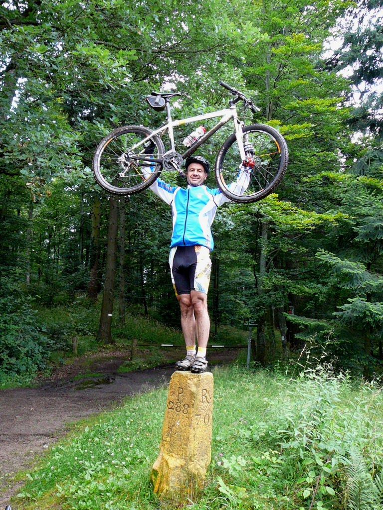 |
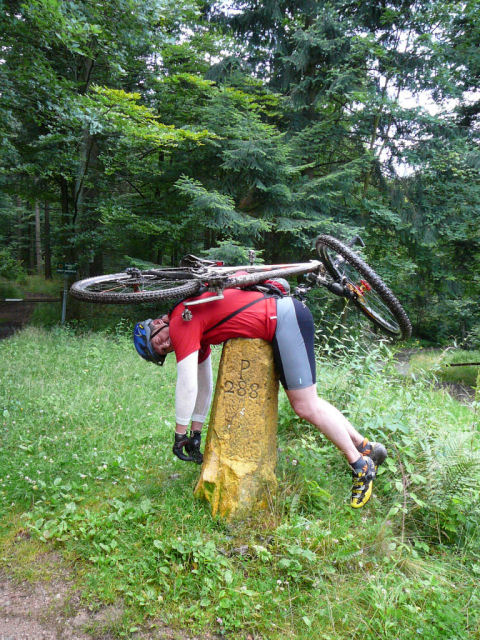 KO 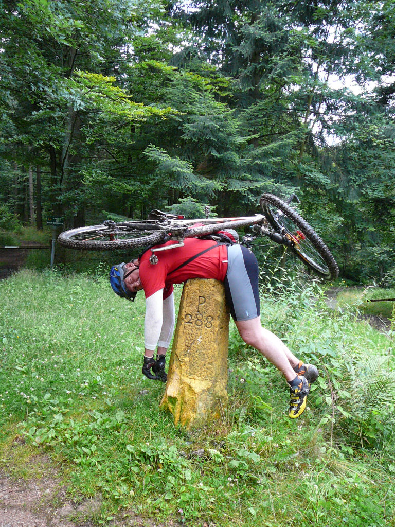 |
 Eric 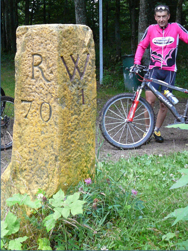 |
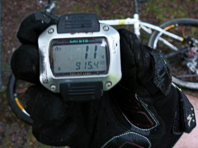 11°C |
 roe-deer 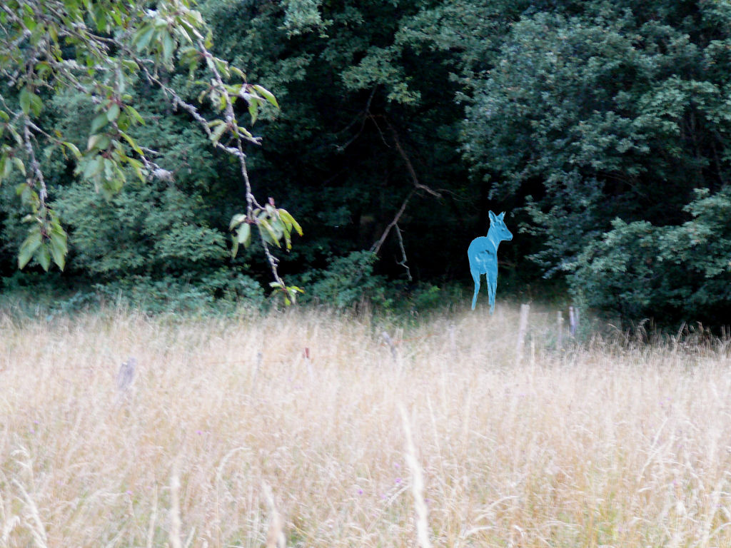 |
 return 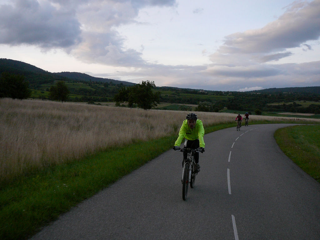 |
- it will be necessary to pass in video mode if we finally wishes to see the roe-deers photography !!
and before?