
active units: miles km °C °F

August 7, 2008
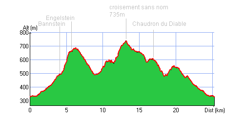
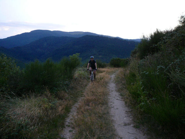
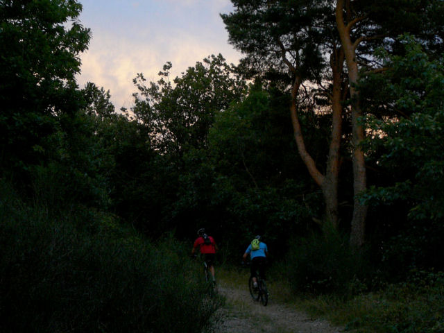
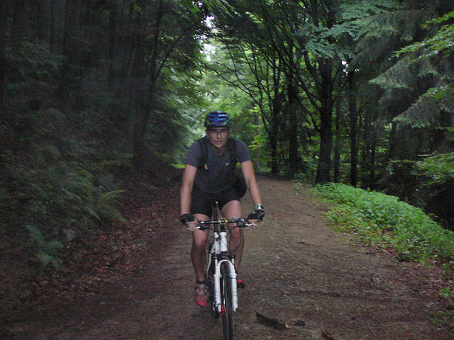
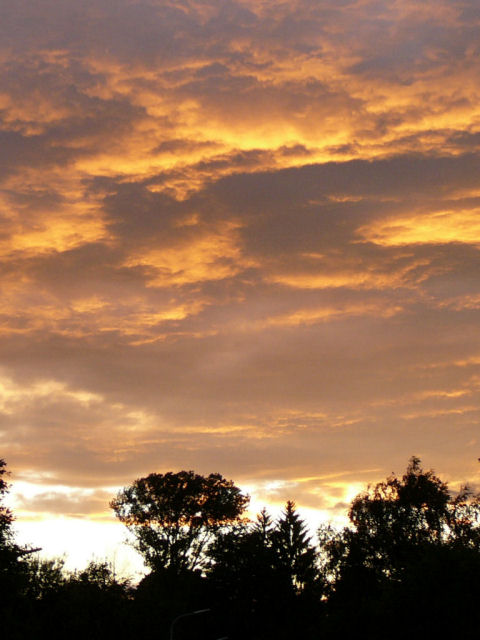
"orange vigilance - Engelstein"
 27-22°C 80-72°F
25 km 15 miles, 2h00 Elev.Gain 880m 2900 feet

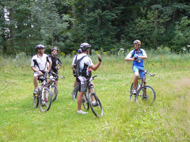
3 MTB (Fabien, Gérald, Christophe)
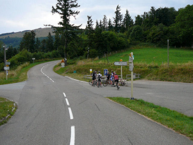
 appointment at 6:30PM at Guebwiller
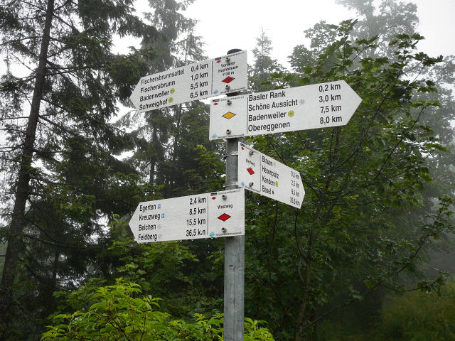
col du Bannstein, towards the Boenlesgrab (865m).
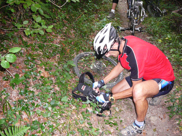
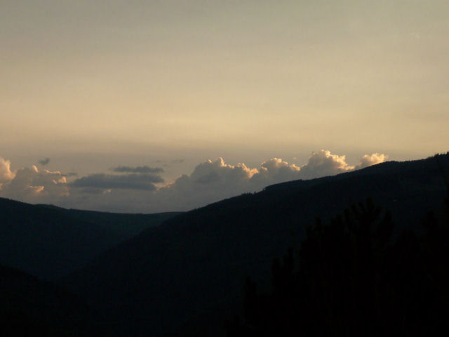
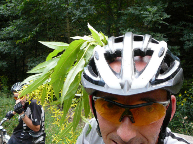
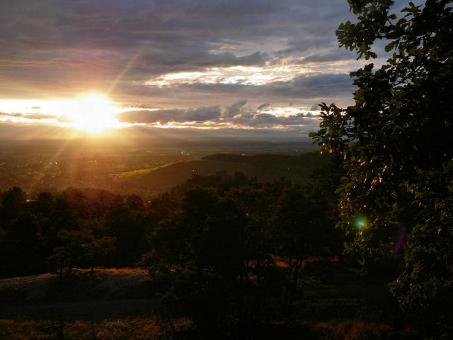
Hochfelsen, Engelstein (688m). Sheet.... the rain! A storm is coming!
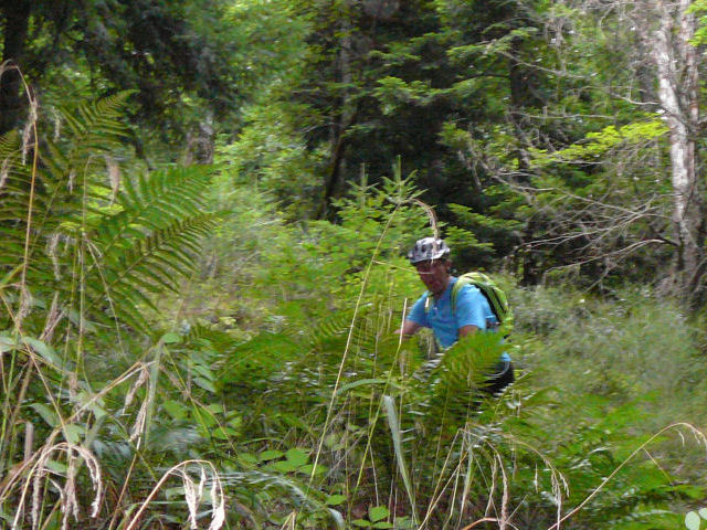
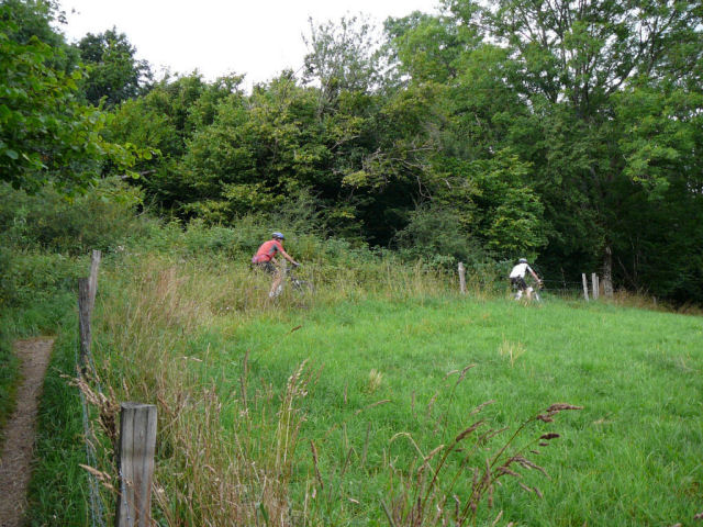
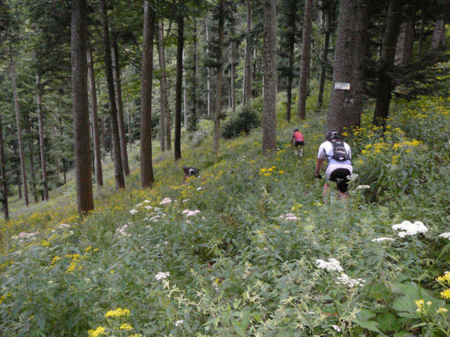
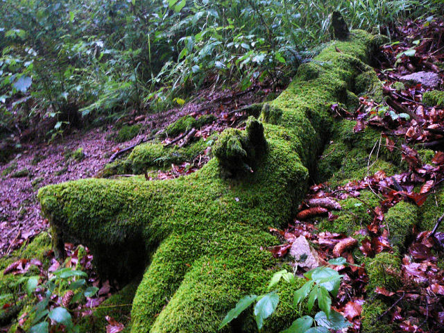
We go back but there is nothing else than a few drops during 4mn. We go then in Bois d'Orschwihr and towards Lautenbach. At Sauwasen, we see a deer, 2 wild boar.... On the way (heights from Lautenbach) we stop at the Devil's Cauldron "Chaudron du diable" and go again to the col du Bannstein.
9:10 PM end!!
 Fabien |
 Gérald |
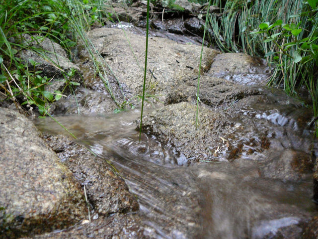 creek |
 clouds |
 Christophe |
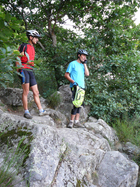 phone |
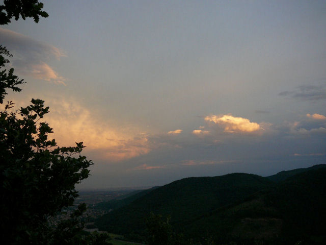 clouds |
 dark |

Meteo France bulletin: "orange vigilance" storm ...."
PS: I have not erased any cloud on the photos!
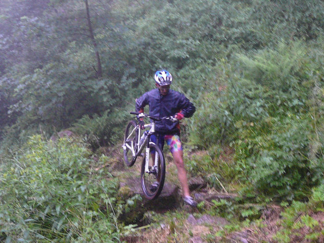
July 31, 2008
"Col Amic"
 29-26°C 84-79°F
23 km 14 miles, 1h45 Elev.Gain 850m 2800 feet

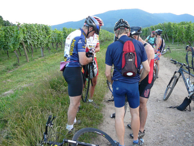
6 MTB (Michel, Yves, Bernard, Claude, Stéphane, Christophe)
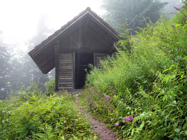
appointment at 6:30PM at Soultz (storks park) (980 feet)Jungholtz, Thierenbach, Gros Chêne, croix Zimmermann, chapel Sicurani (2380 feet), Col Amic ... croix Zimmermann, Jungholtz
 Violettes  |
 Claude - Yves |
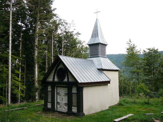 Sicurani chapel 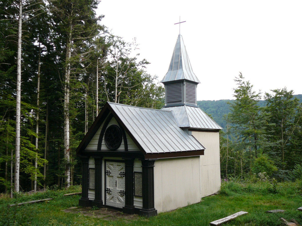 |
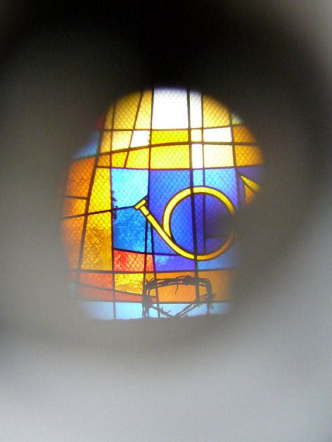 stained glass  |
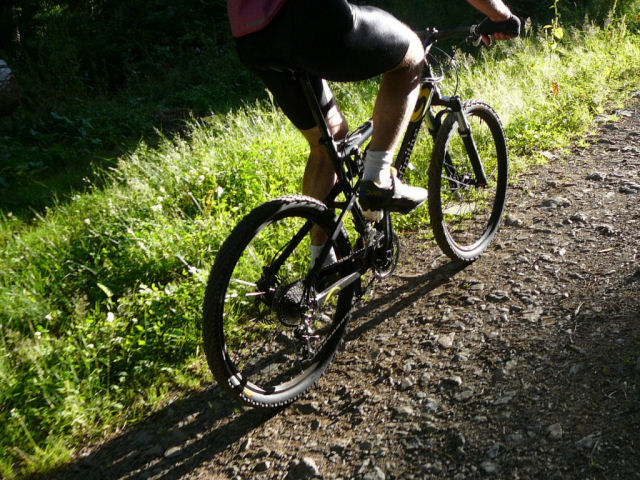
 Deore XT 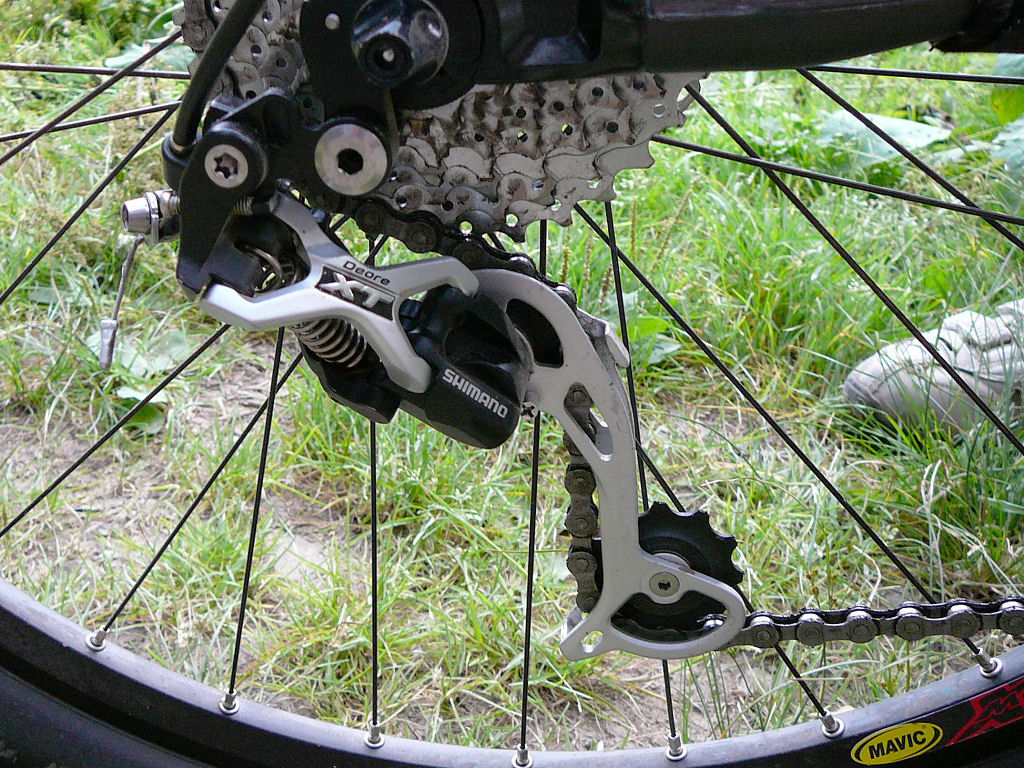 |
 Col Amic  |
 trail 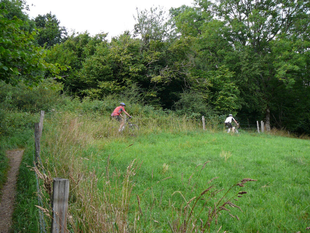 |
 break 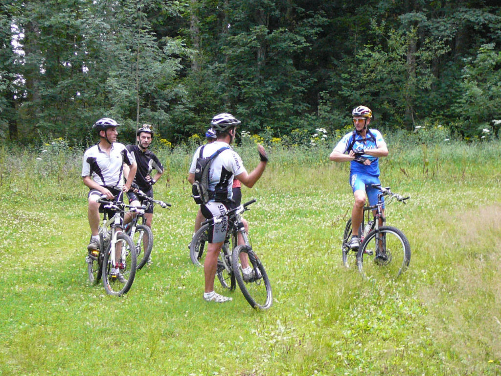 |
 wheel 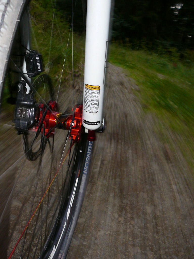 |
 hidden 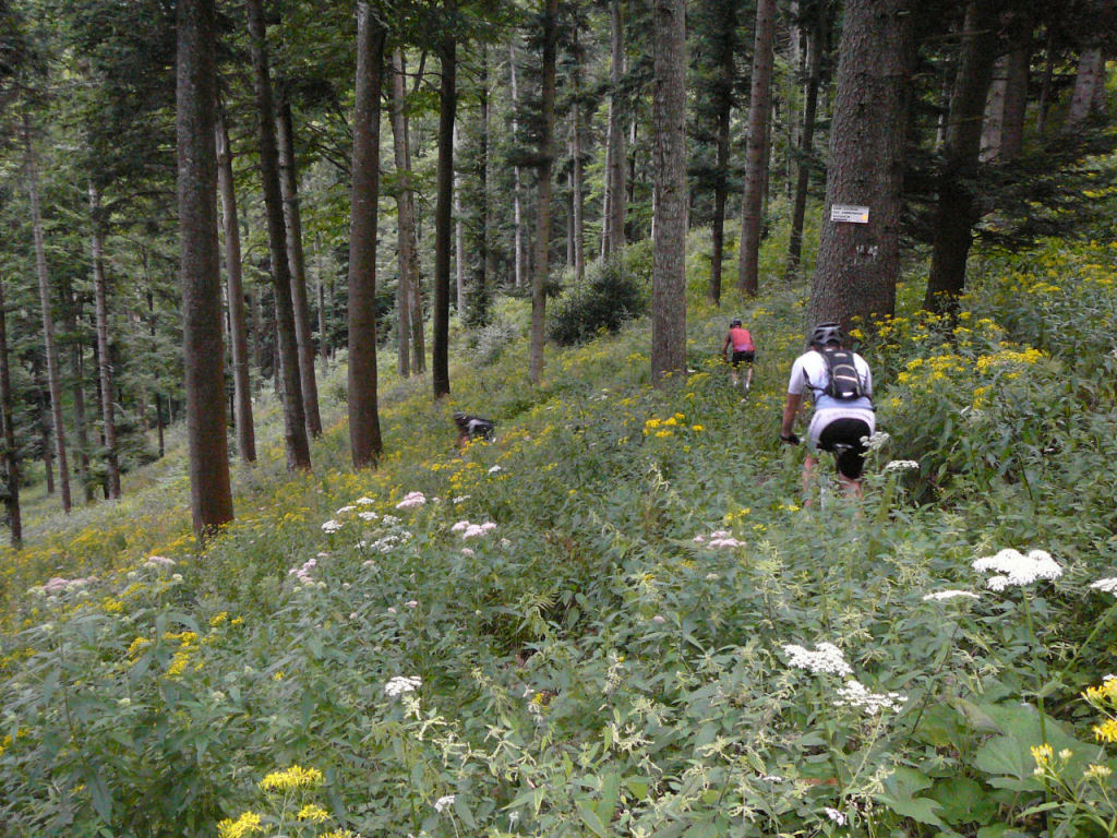 |
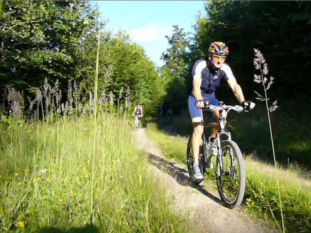
 Claude  |
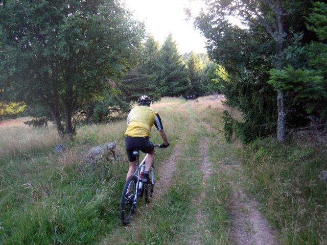
 rider  |
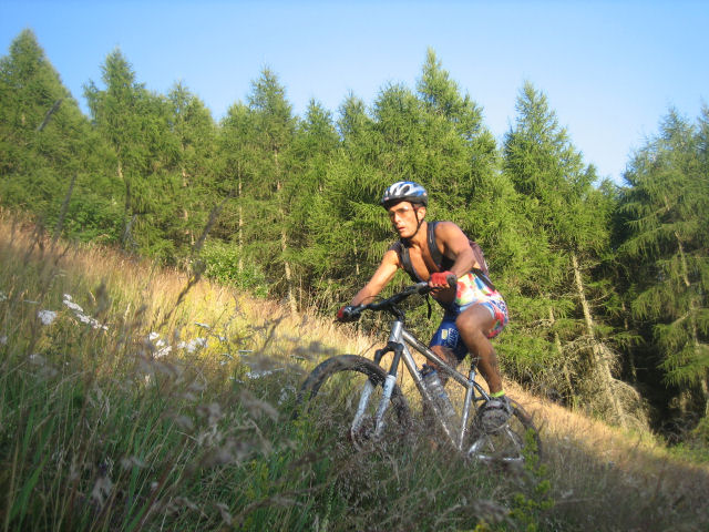
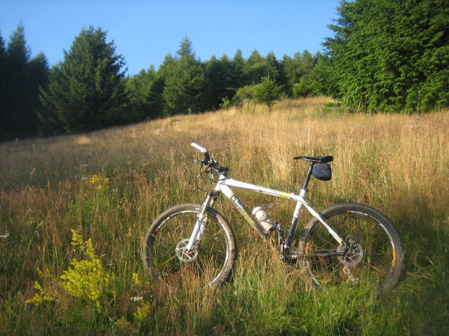
July 24, 2008
"holiday (2)"
 34 km 21 miles, 1h55
7 participants (Claude, Franck, Bernard, Yves, Thierry, a snake and a badger)
appointment at 6:30PM at Vieux-Thannsame trip as May 15 .... direction Geishouse
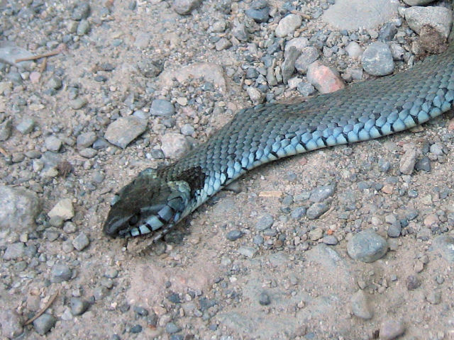 snake |
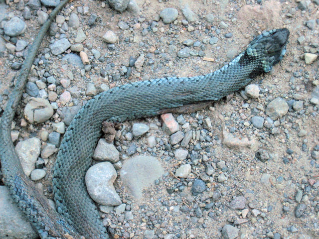 snake |
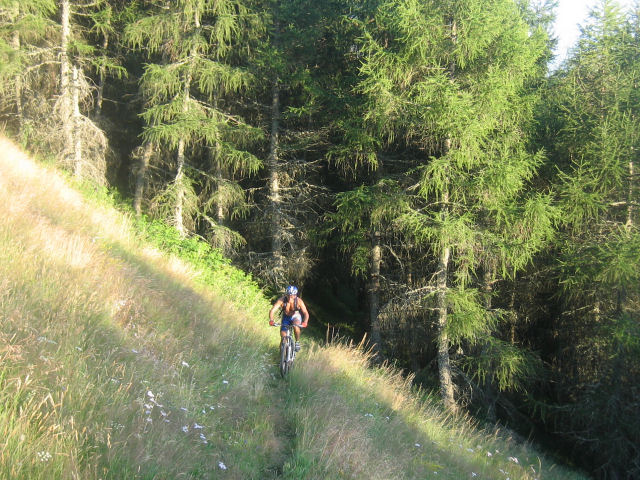 Franck |
 again |
 Claude |
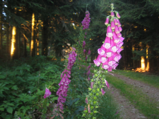 Digitalis |
 Yves |
 pasture |
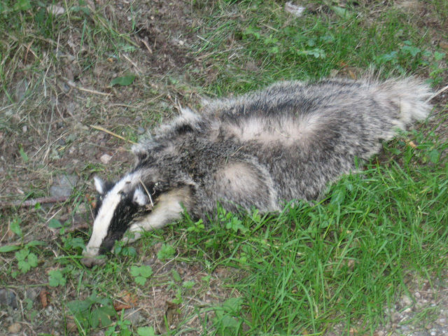 badger |
thanks to Claude
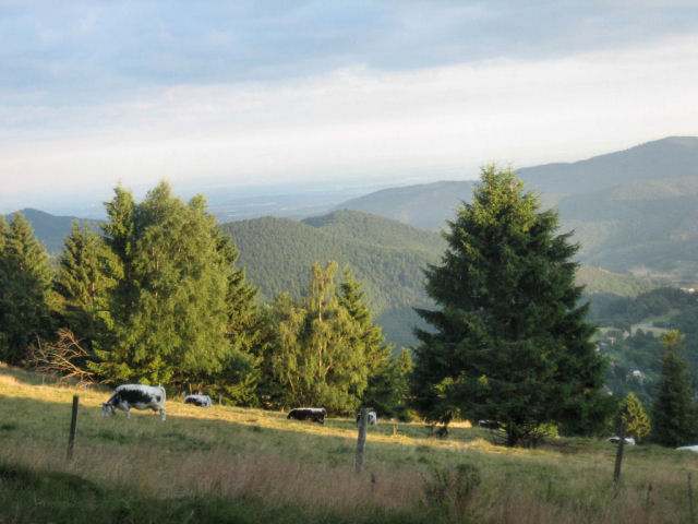
"rise to Molkenrain"
funny, it's the same weather!!! 
4 MTB (Anthony, Gérald, Fabien and Timothé)
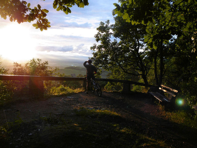
2nd trip also really nice. All four are going to the Molkenrain.
Weather ok, great sunset, technical course ... especially downhill; a puncture (for Timothé).
July 17, 2008
"holiday (1)"
3 MTB (Yves, Fabien, Thierry)
appointment at 6:30PM at Vieux-ThannYves makes us the summary:
Few people (the weather is not cool; it rains all day long) ....
Nothing special tonight, we want to stay near the cars...
Vieux-Thann, Thann, Col du Grumbach, Pastetenplatz, Camp Turenne, Waldkapelle, Croix du Rangen.
 Australia |
 |
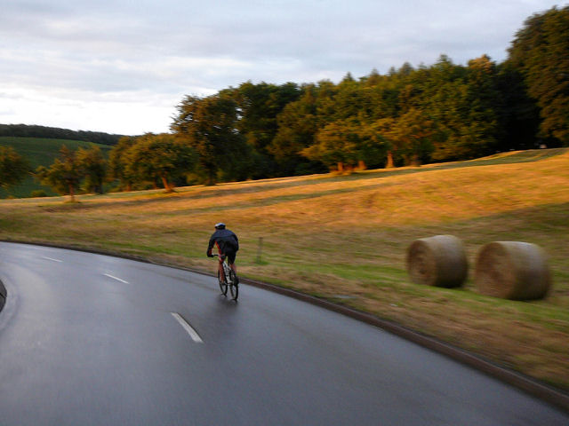
July 10, 2008
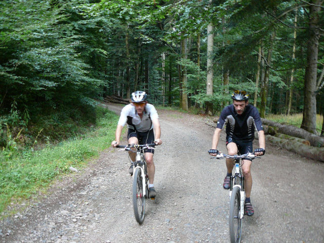
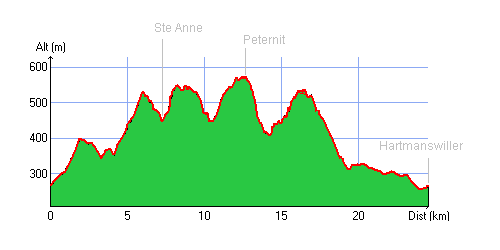
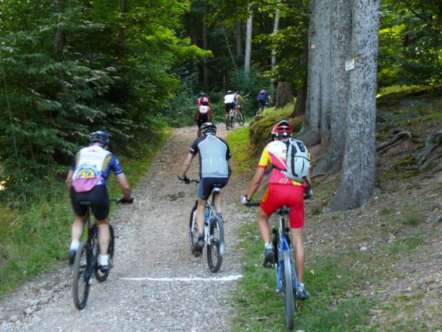
"Hartmanswiller"
30-22°C 86-71°F26 km 16 miles, 1h45 Elev.Gain 750m 2460 feet
10 MTB (Michel, Anthony, Yves, Christian, Jean-Claude, Franck, Bernard, Claude, 2 Christophe)
appointment at 6:30PM in Hartmanswiller Ste Anne - Rimbach Zell - road: 1 km to reach Rimbach then path to the right towards col de Peternit - just before to reach it, on the right, descent near Castella sylva (on work) - Bildstoeckle - Heidebuckel (little Provence) - Jungholtz: bicycle path from the Jewish cemetery - the storks park - Wuenheim -
8:55 PM Hartmanswiller
 climb 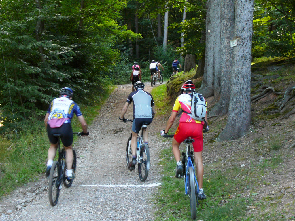 |
 Bernard  |
 nature  |
 Michel |
 Bildstoeckle 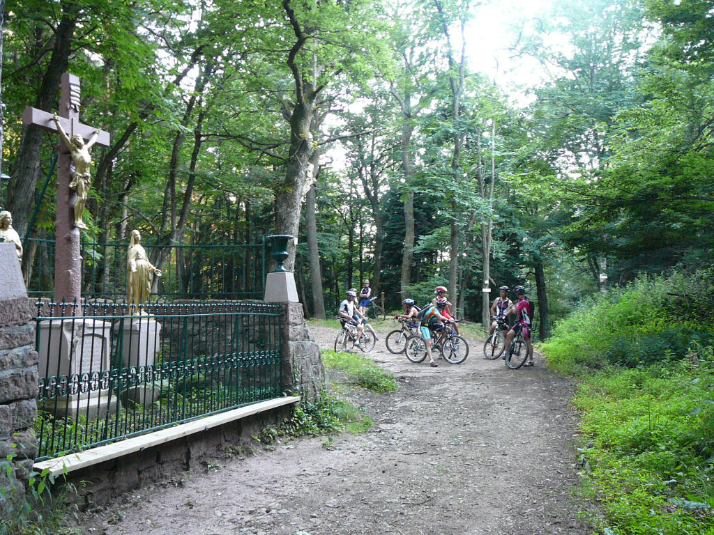 |
 bilberries 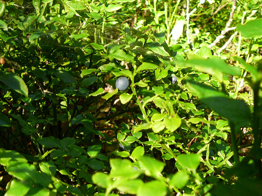 |
 trees 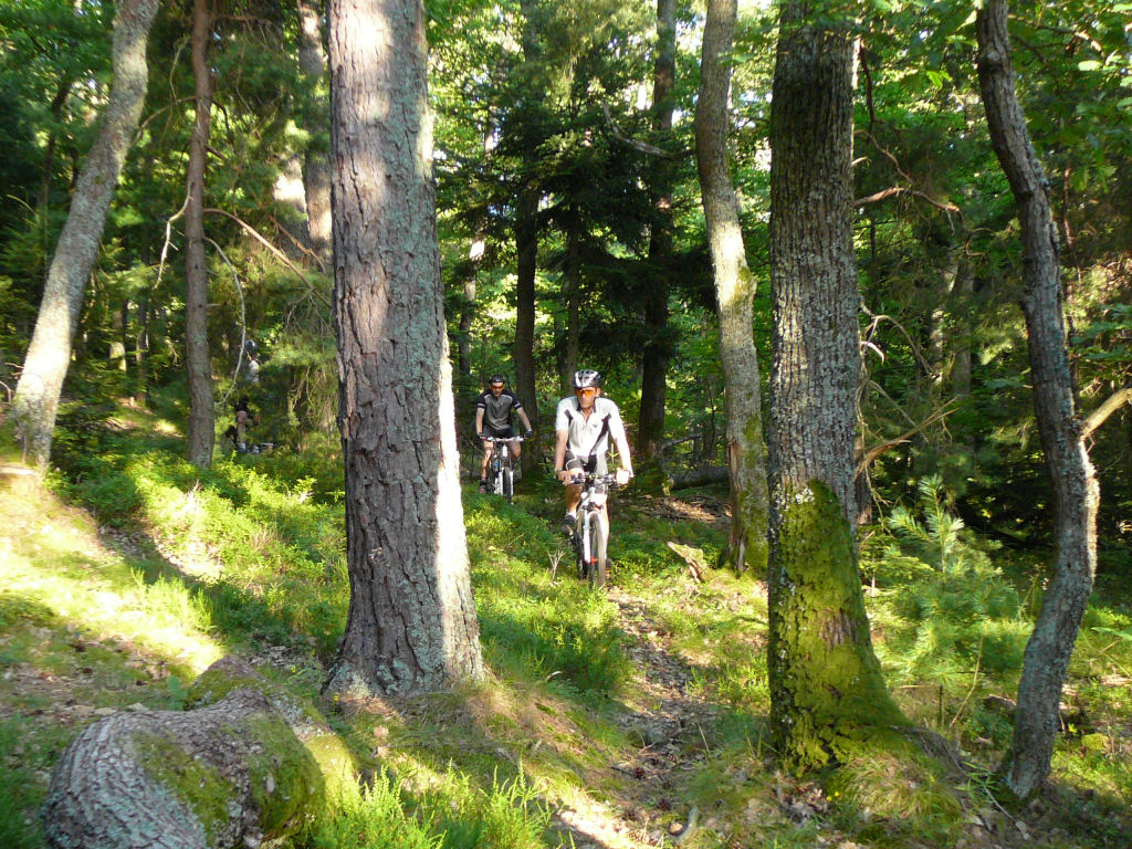 |
 2 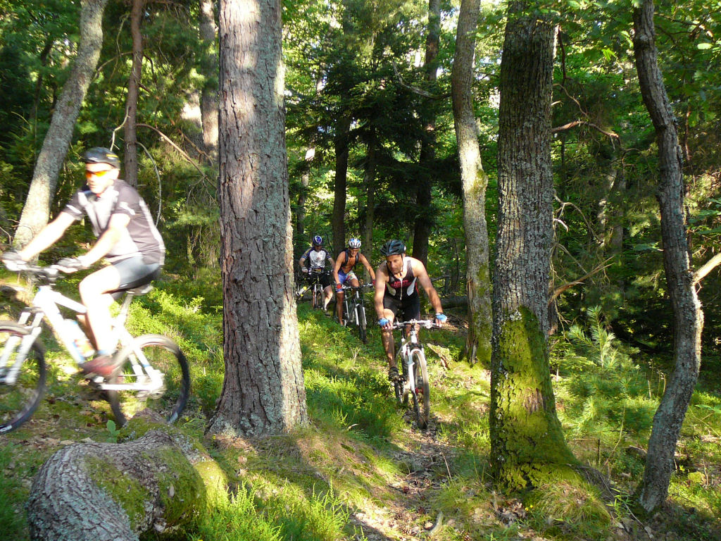 |
 blue 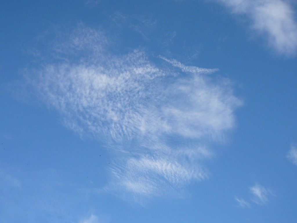 |
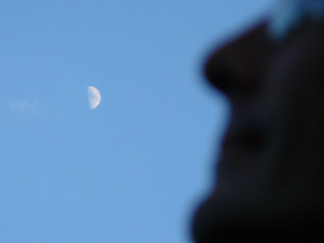 moon  |
 puncture  |
 Vosges  |
a comment "CO2" from Michel: 8 cars for 10 MTB it's not optimal!
Fortunately there is JC: round trip from Mulhouse with the bike!
July 3, 2008
"Hochblauen (Black forest)"
 19-16°C 66-61°F
25 km 15 miles, 2h10 Elev.Gain 900 m 2950 feet
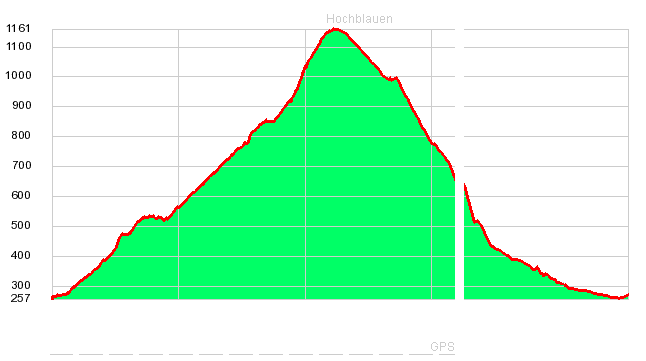 (.gpx)
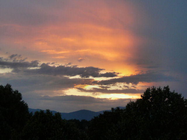
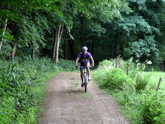
2 MTB (Franck, Christophe)
appointment at 6:30PM in Müllheim (Germany)18h40 only 2 people!! Why? Oh, we lack a guide. But we are very brave and go direction unknown (and clouds) ...
direction: Hochblauen ... superb trail (Lipburger Weg), we see 2 deer and 0 walkers.
it starts to rain (during the last 3 km): Hirschmat hut (908m). The trail is now too steep (and wet), so we walk ....
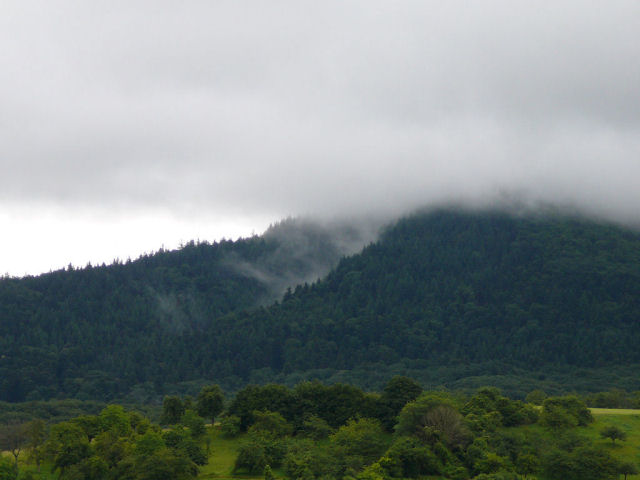
arrival at the summit (1165m) at 8:30 PM; there is not 10°C ...
there is a restaurant and a tower (hidden in the clouds)
descent on the road, finally we see someone: a crazy biker!!!
Down, the temperature is better, but we will heat the cars for the return way (at home).
We go through the Belchenblick hut (907m), Prinzensitz (694m) and Sophienruhe.
As a reward, the sky offers us a colourful spectacle !!
Badenweiler and then arrival at 9:30 PM in Müllheim.
 over  |
 beautiful trails |
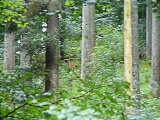 deer |
 Christophe |
 Franck |
 Hirschmatt  |
 walking |
 foam |
 where? |
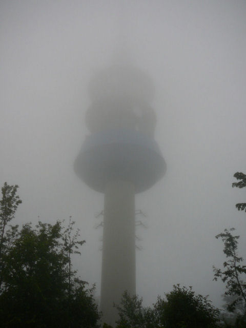 Hochblauen Turm |
 sight 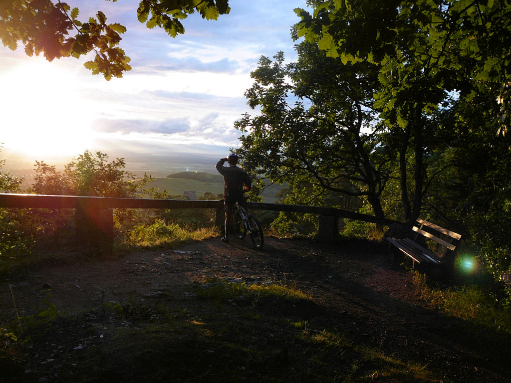 |
 sun  |
 descent |
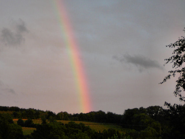 rainbow |
 clouds |
What's a GPS? a device that tells you the path, but who needs 2 batteries to operate!
And how weight 2 batteries LR6? 2x26gr.
... the end of the trace is missing
- do it again !
and before?