

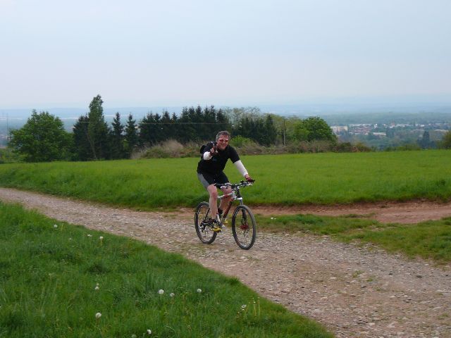
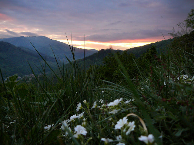
May 14, 2009
"Thanner Hubel"
 24-15-19°C 75-59-66°F
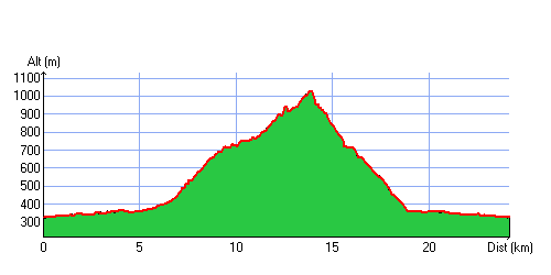
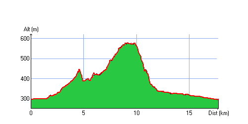
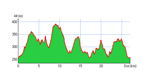
26 km 16 miles, 1h55 Elev.Gain 910m 3000 feet

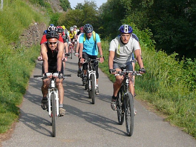
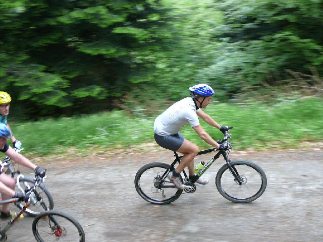
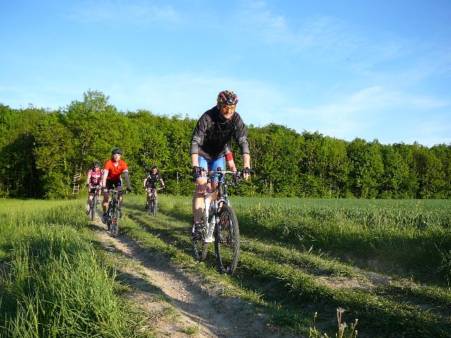
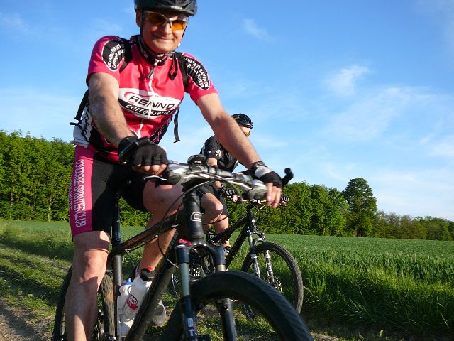
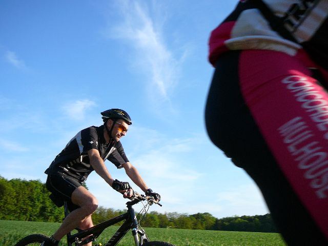
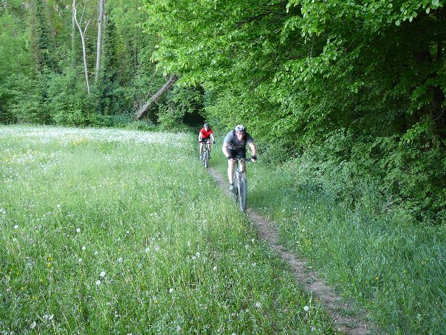
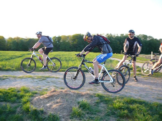
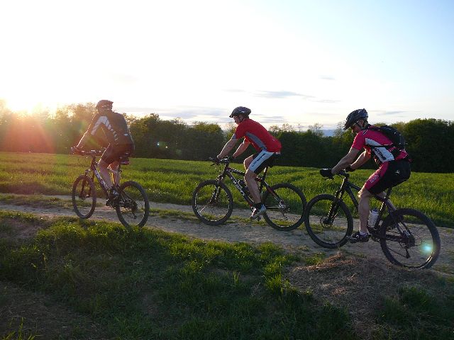
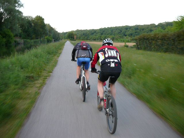
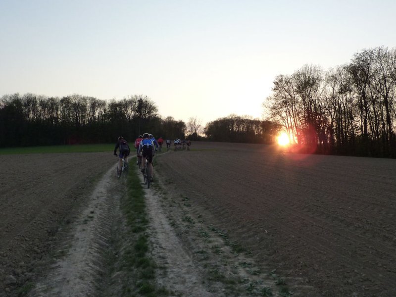
17 MTB (Christian, Bernard, Jean, Yves, Denis, Claude, Michel, Gérald, Alain, Sébastien, Paolo, Laurent, Gilles, 2 Thierry, 2 Christophe)
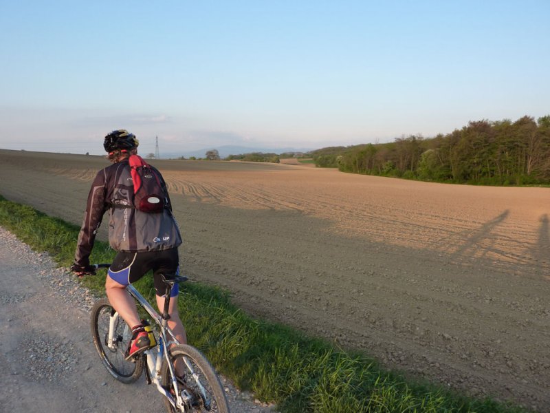
 Appointment at 6:30PM in Vieux-Thann
Vieux-Thann - Bitschwiller (by the bike path) - place Zundel (776m) (2546 feet) - farm from Thanner Hubel (1030m) (3380 feet) descent to Bitschwiller by the usual nice path - Vieux-Thann
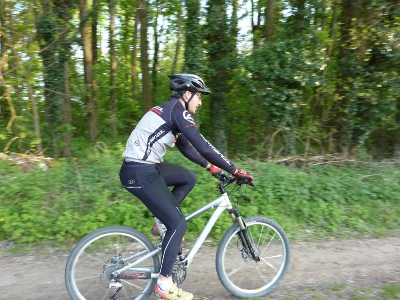
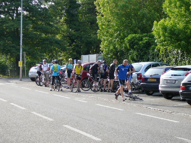 start  |
 Thur 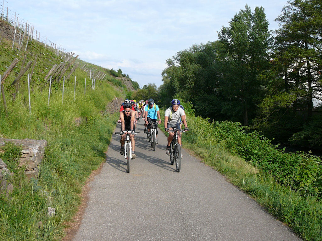 |
 zoom 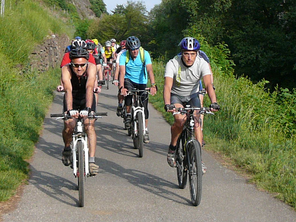 |
 bridge 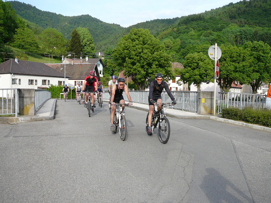 |
 Michel and Jean 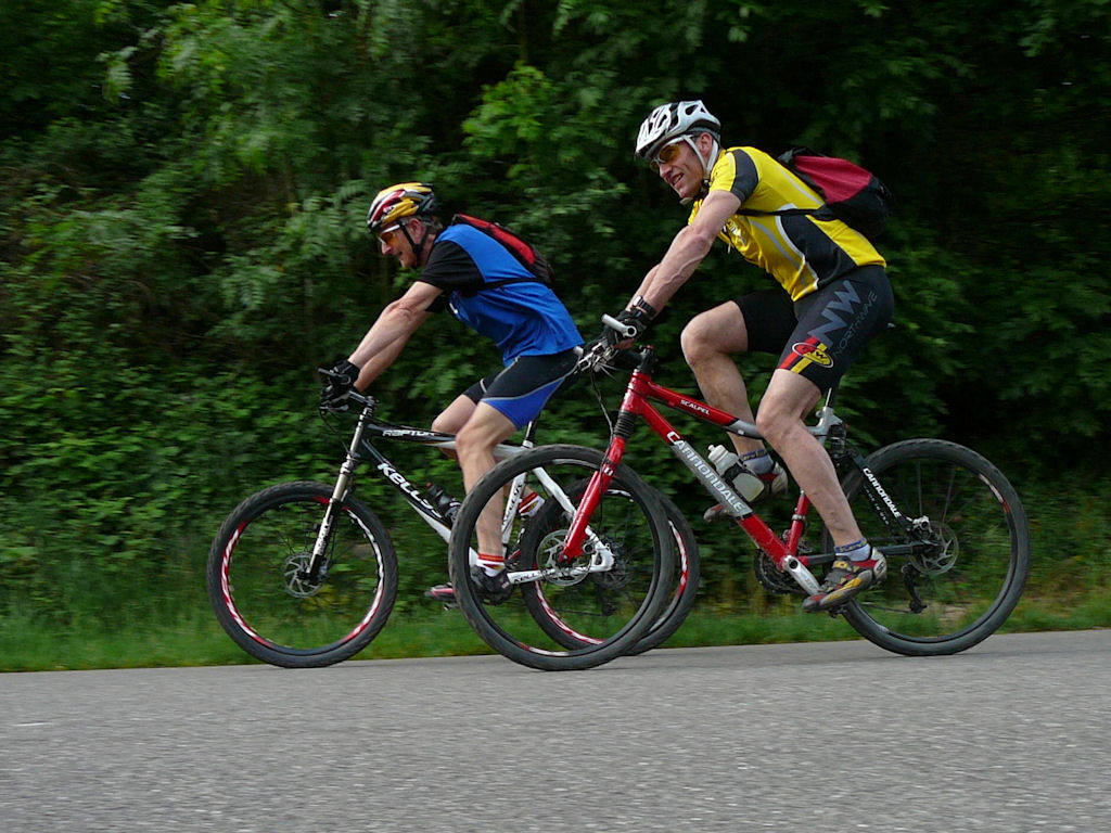 |
 Paolo 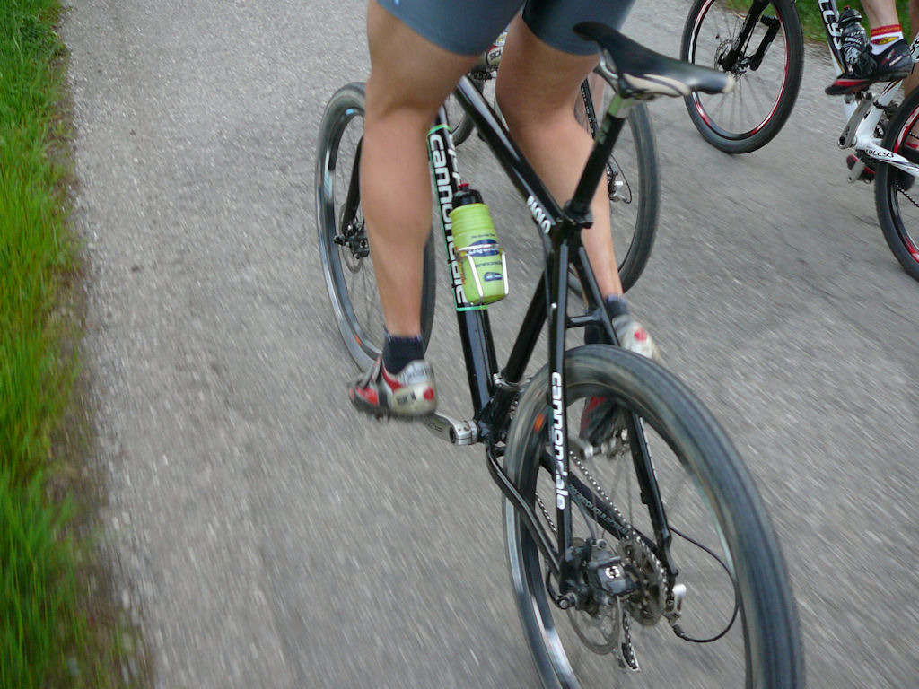 |
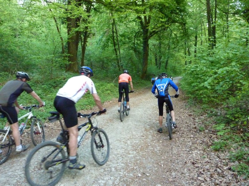
 turn 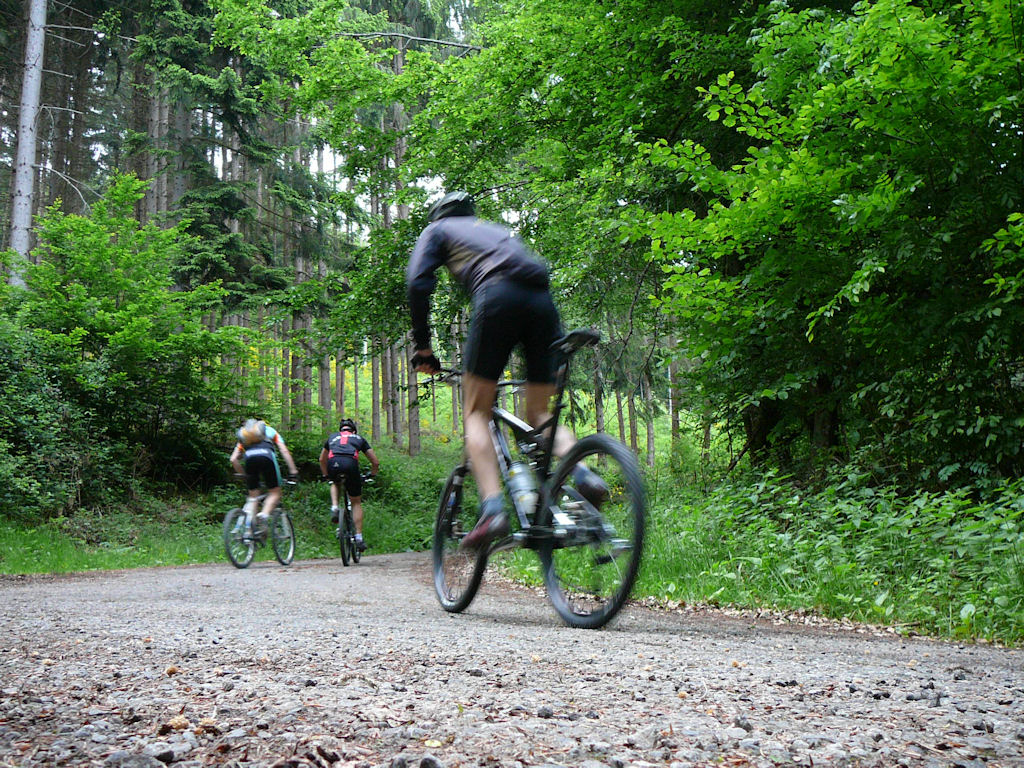 |
 timber 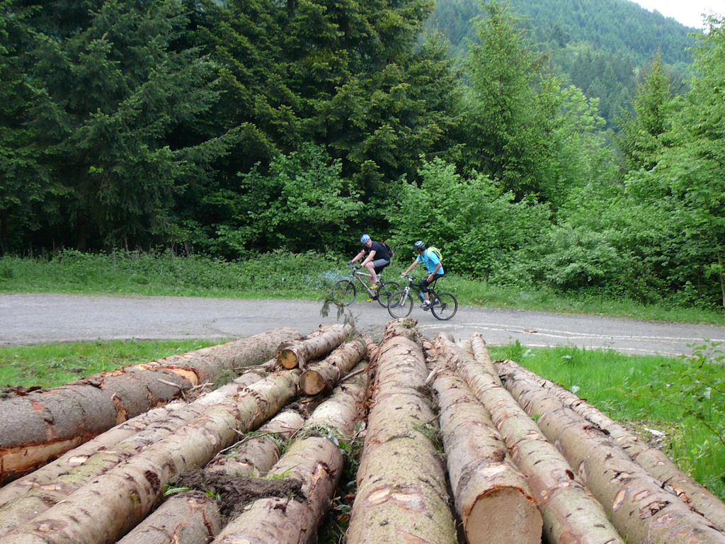 |
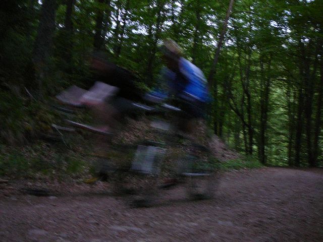
 Seb. and Gérald 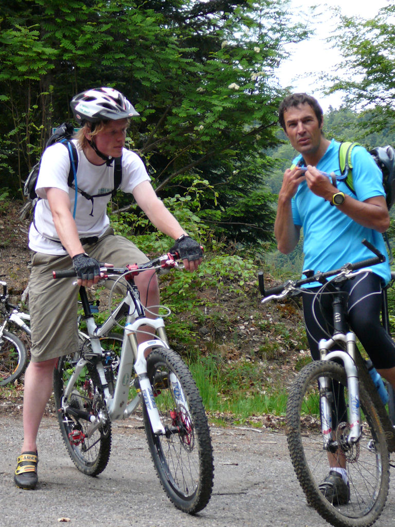 |
 Paolo 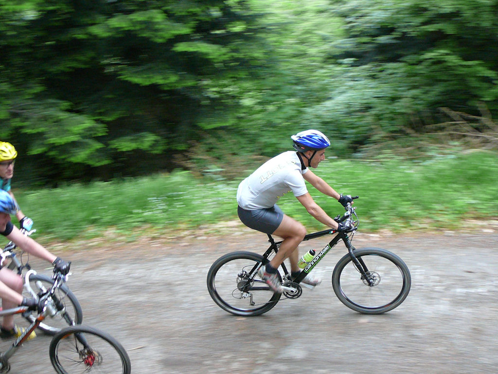 |
 Bernard 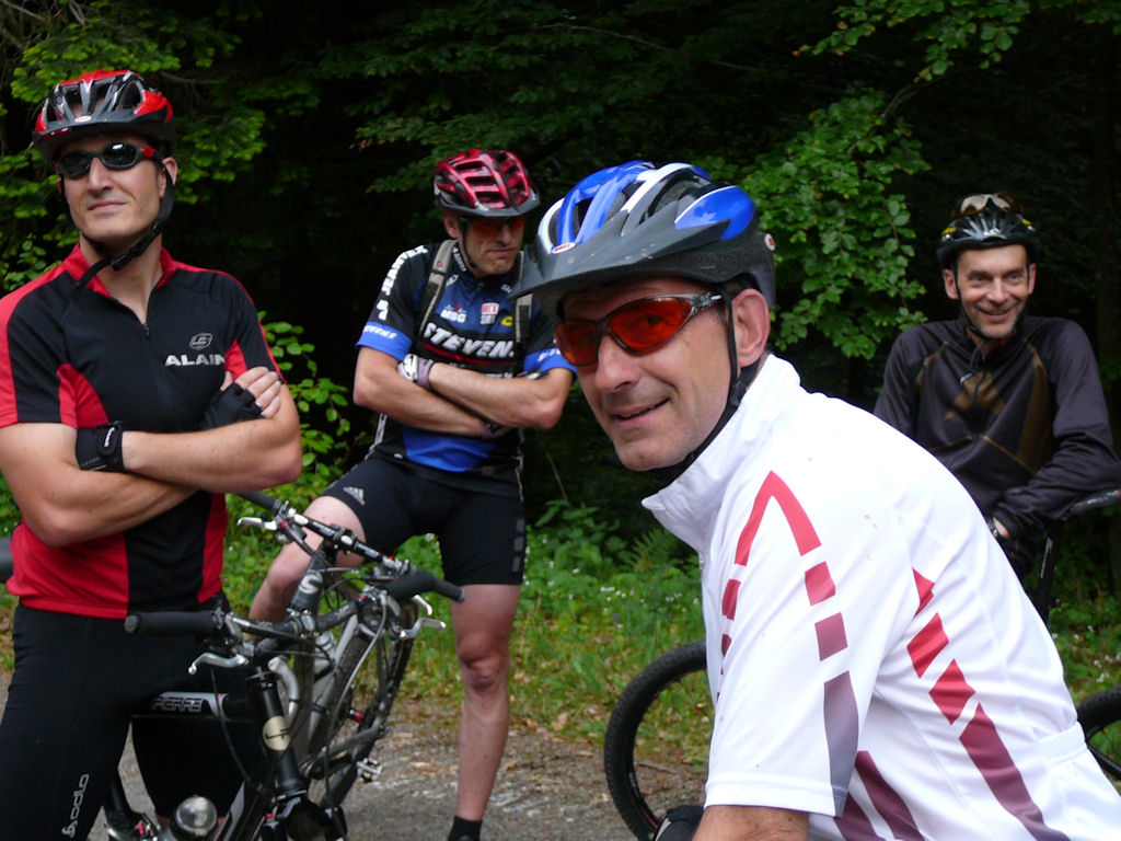 |
 Laurent  |
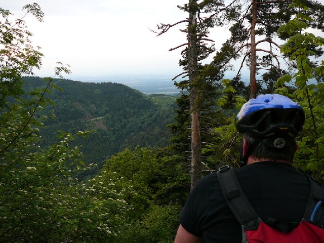
 view 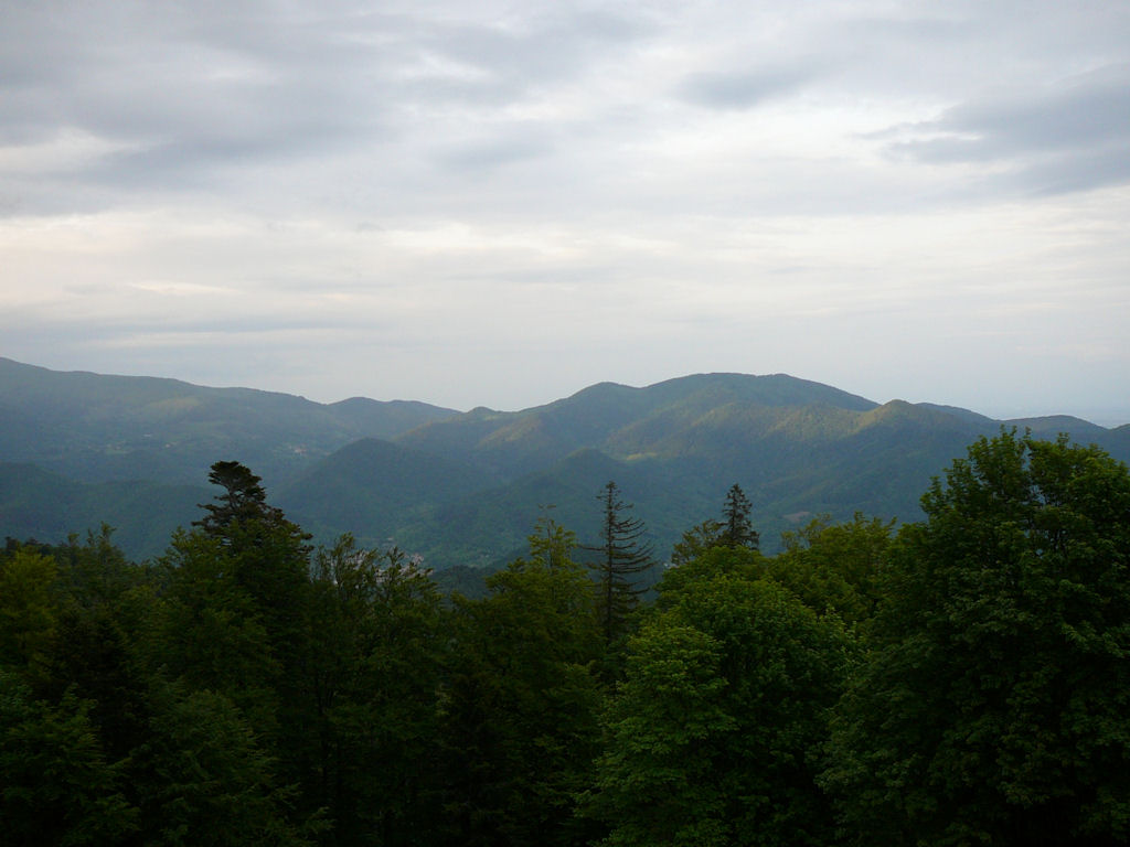 |
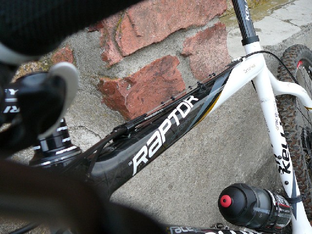 raptor  |
 Michel 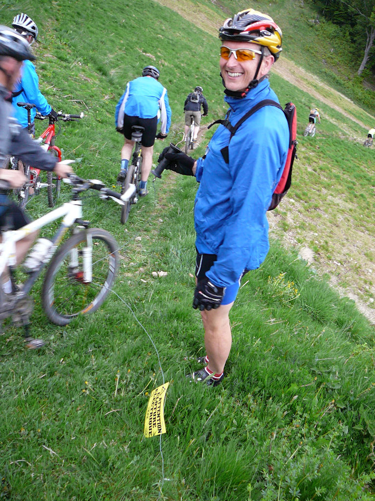 |
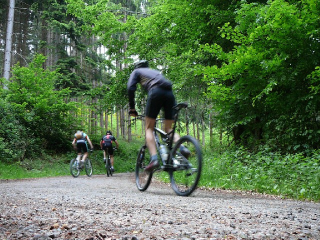
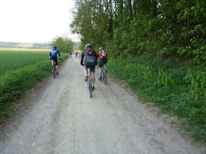
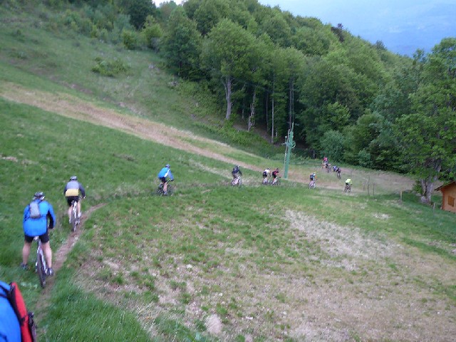 descent 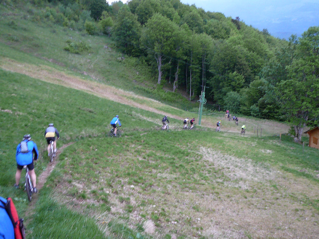 |
 Thierry 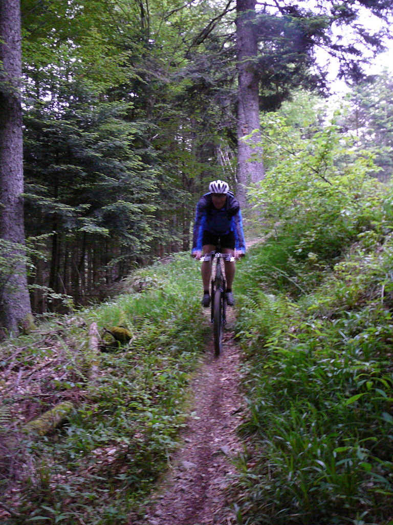 |
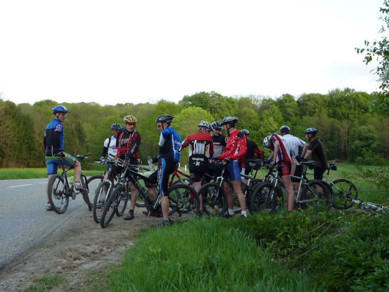
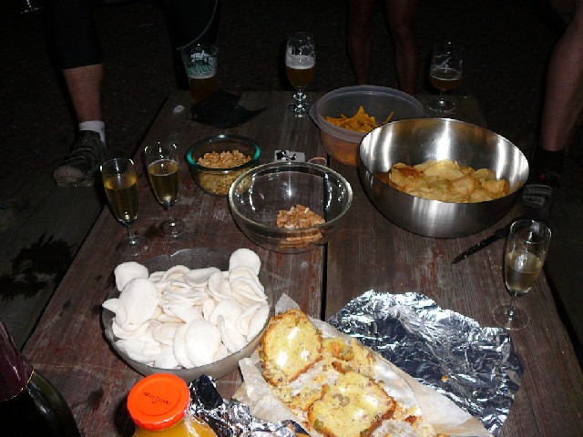 a drink  |
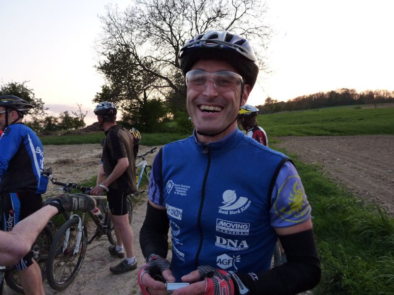
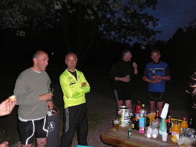 Christian 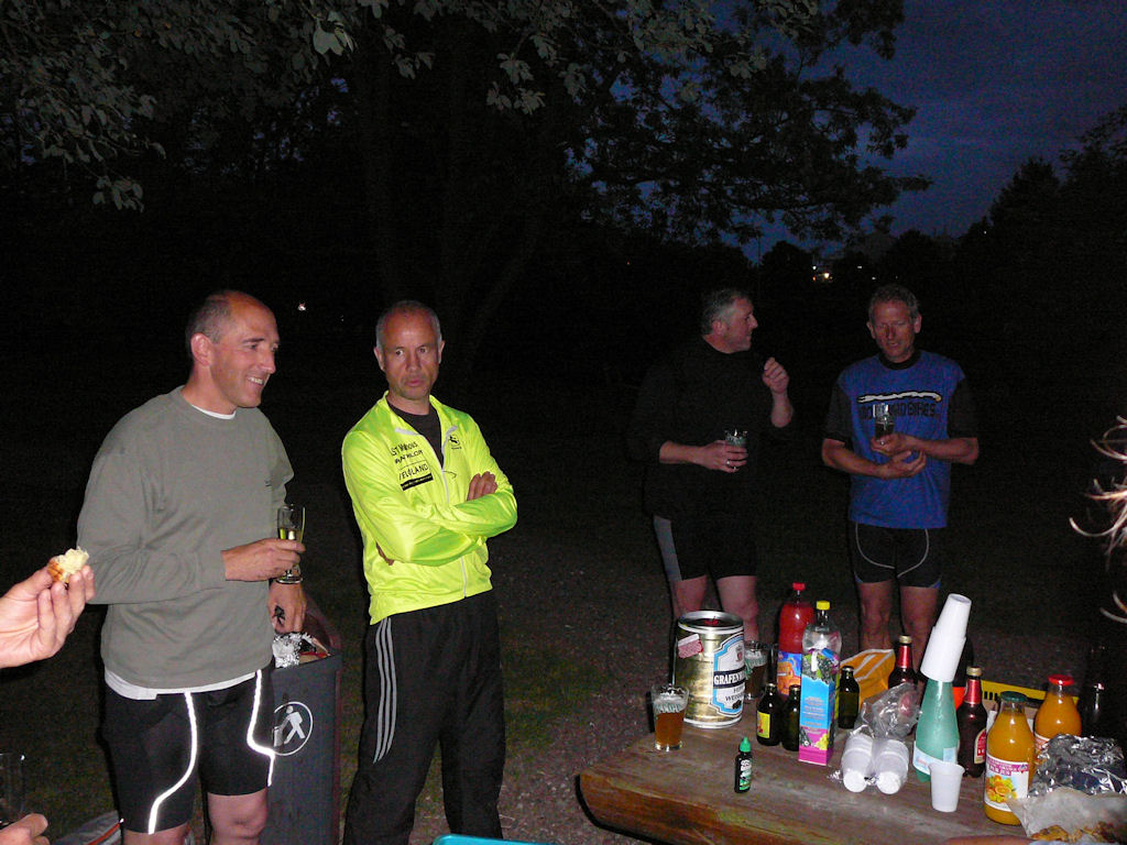 |

- maps are those from 2006 +
- a lot of people for this trip. Is Christian the reason? Thanks (and happy birthday)
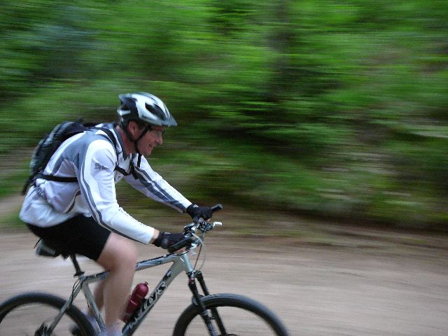
May 7, 2009
"Waldeck"
 27-16°C 80-61°F
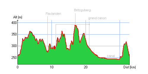
35 km 22 miles, 2h10 Elev.Gain between 500 and 600 m 1700 and 2000 feet
9 MTB (Jean, Yves, Jean-Claude, Michel, 2 Thierry, Laurent, Gilles, Christophe)
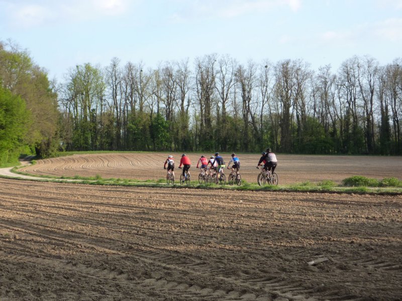
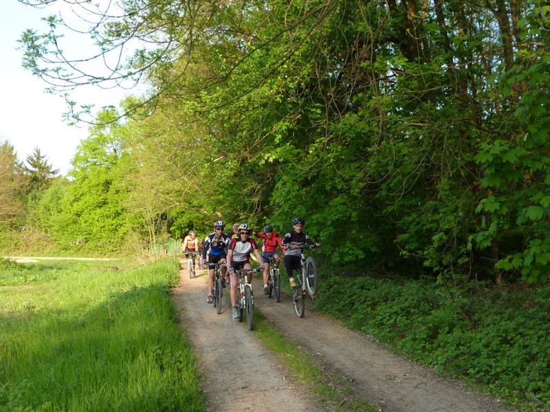
appointment at 6:30PM: Waldeck (Mulhouse)The weather is wonderful; the start is "hotter" (than last time (2 weeks ago)); we "climb" directly (in the forest, not on the Grand Ballon) ;-)
Then direction Flaxlanden, Grand Canon, Britzgyberg, Chapel St Brice (near Illfurth). 2 deer cross the road, but without accident! (no pictures). We return to the canon to go to Zillisheim.
The return will be on the bike path (along the canal). Towards Brunstatt we are forced to turn back because the work (digging the tunnel under the channel) is blocking our passage. In Mulhouse (pont des Noyers), we split: Yves and Michel continue straight away, the rest of the troup will go through the Rebberg. Jean proposes us the Chemin des Cadets. It's 9:15PM, we reach the cars. Jean-Claude finally returns home (without the daily 100 km)
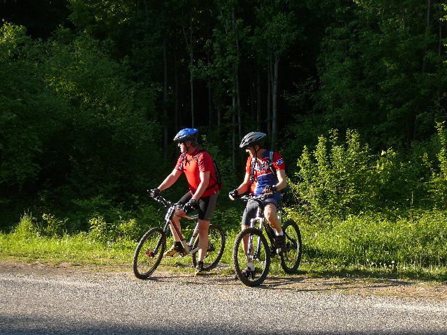 Laurent and Thierry  |
 yellow 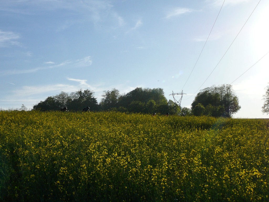 |
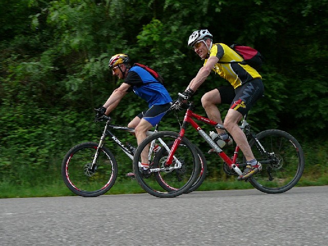
 trio  |
 Thierry 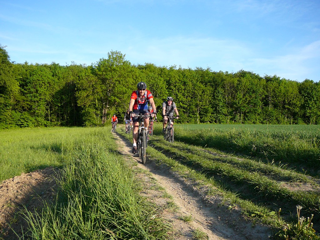 |
 Michel  |
 Jean-Claude  |
 Yves  |
 Thierry  |
 Michel  |
 trio  |
 vote 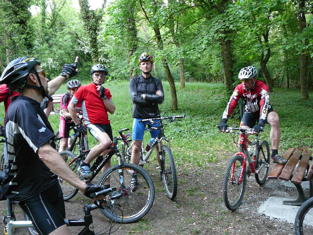 |
 Michel and Jean 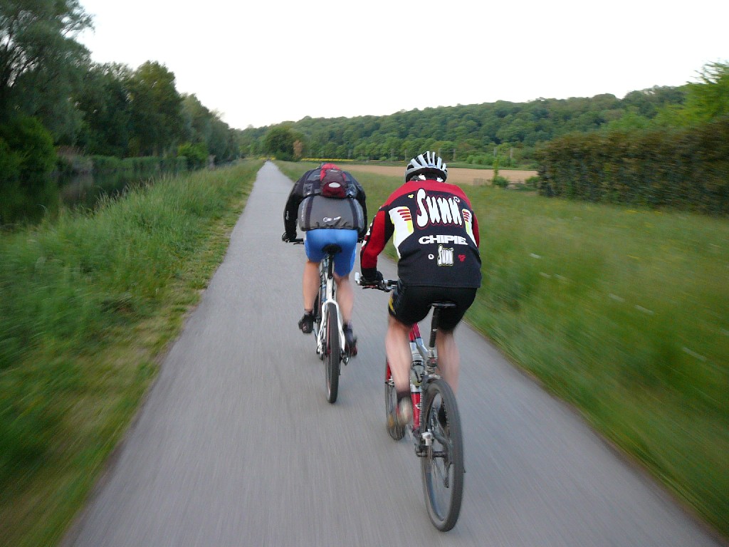 |
 drill 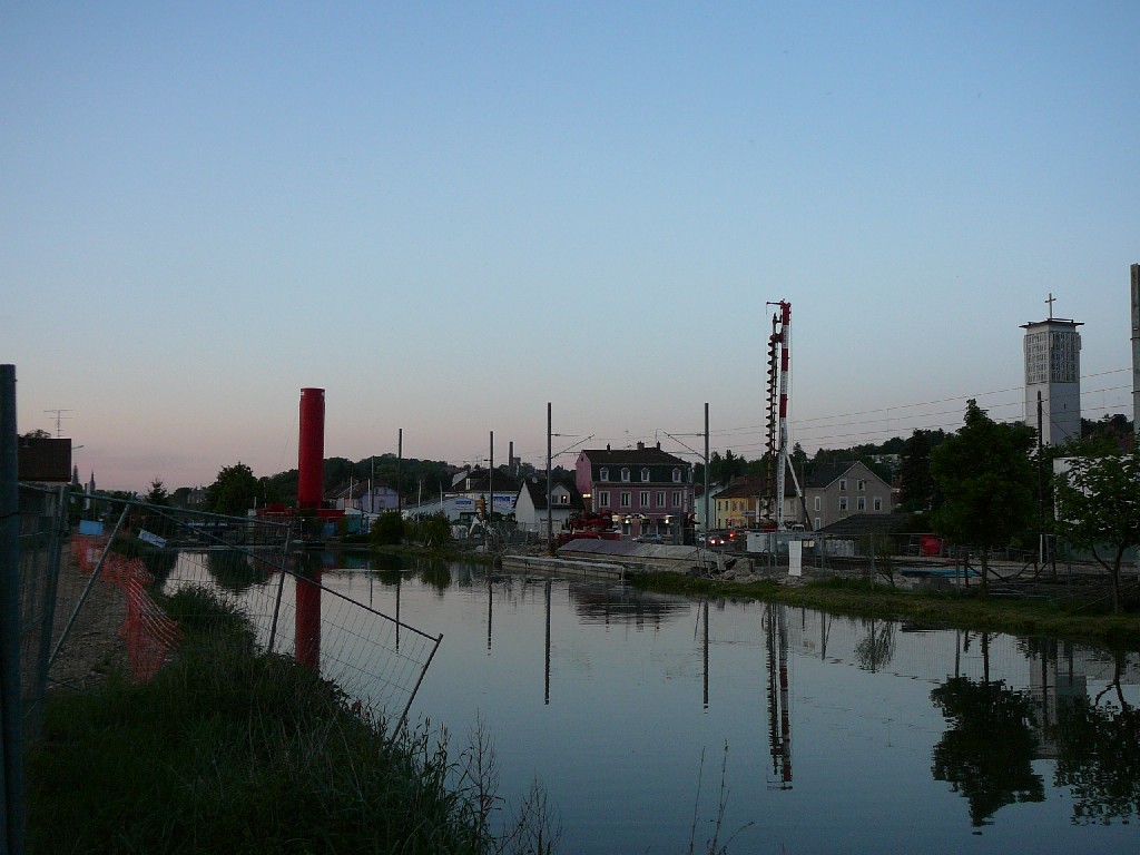 |
 lamp 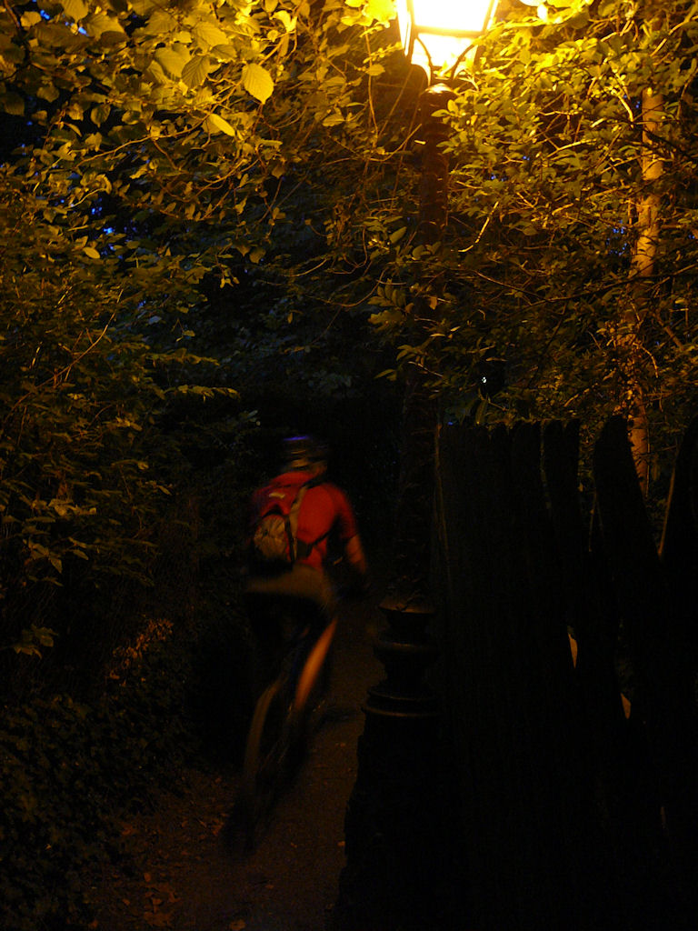 |
- It's with an apprehension that I publish these pictures: the great inquisitor Christian will find any mistake? Will we loose (again) points ??? Wait and see!
- answer from Christian: "it's ok !" (updated May 8, 2009)
April 30, 2009
"Waldkapelle"
16°C 61°F18 km 11 miles Elev.Gain 430 m 1400 feet
6 MTB (Jean-Claude, Michel, Thierry, Claude, Laurent, Christophe)
appointment at 6:30PM in Vieux-ThannChristophe is not at the agreed time; he has a 2nd chance; recovery (at Cernay, around 19h).
From Cernay direction Uffholtz and then Chapel St Morand. Steinbach (with a short stop at the mine). We are in the Silberthal! Climb up to the Waldkapelle (576m) and the beautiful descent to the cross of Rangen. We turn to the right to finish our descent in Thann. We follow the Thur to return to the official start (football stadium).
Michel and Christophe continue through Vieux-Thann, at the Enchenberg, turn right to reach a bike path along one arm of the Thur. We eat billions of flies .... yuk! Just cross the new bridge and finish the 300m that lead us to the Espace Grün.
 defibrillator  |
 Thur 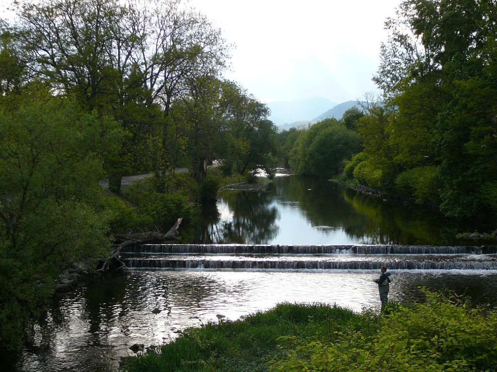 |
 stork 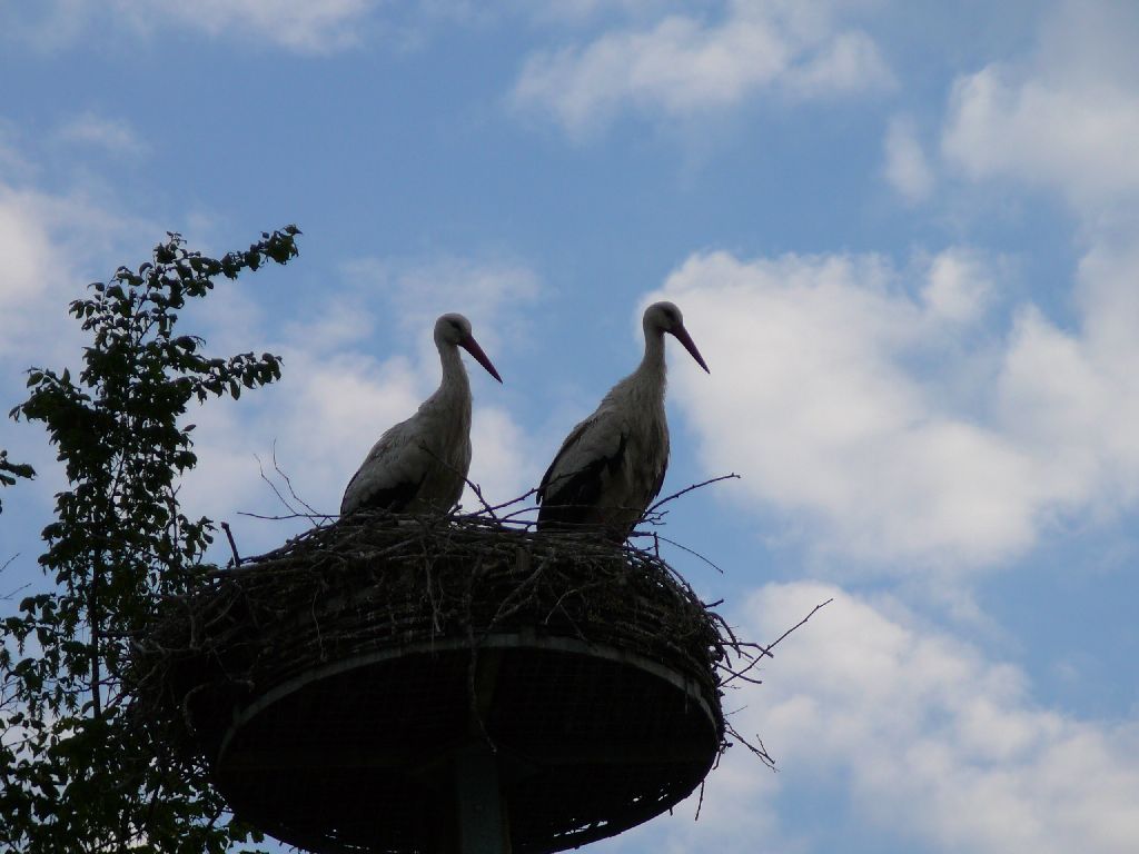 |
 goat 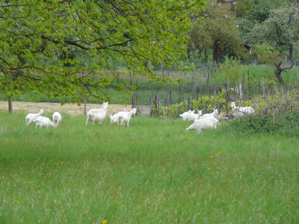 |
 Laurent  |
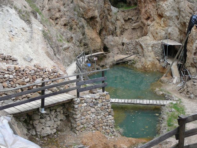 mine  |
 group  |
 Thierry  |
 Jean-Claude  |
 warning 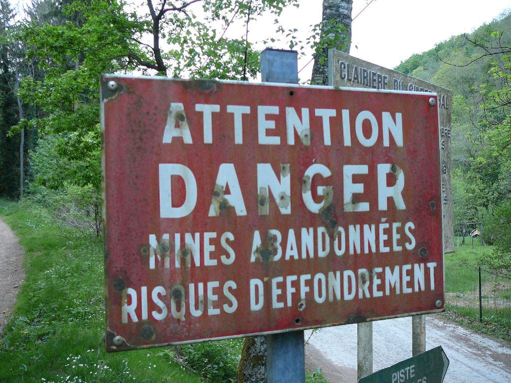 |
 speed 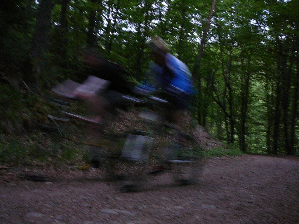 |
 sun  |
The map does not indicate the beginning of the trail
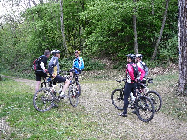
April 23, 2009
"Waldeck"
15-13°C 59-55°F27 km 17 miles, 1h45 Elev.Gain 550 m 1640 feet
15 MTB (Julien, Jean, Jean-Claude, Michel, Yves, Denis, Thierry, Thomas, Vincent, Gérald, Gilles, Bernard, Claude, Paolo, Christophe)
appointment at 6:30PM: WaldeckFlaxlanden - Tschoben - Steinbrunn-le-bas - Landser - Hoherain - Zimmersheim
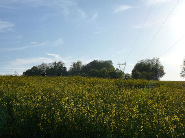
 fields |
 go |
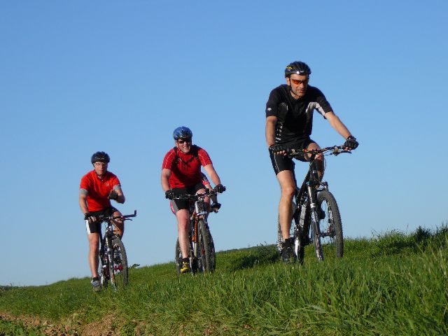
 Julien |
 start |
 downhill |
 group |
 Michel |
 sun |
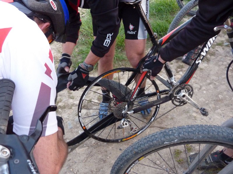 repairing |
 Paolo |
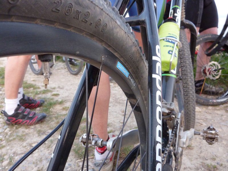 rim |
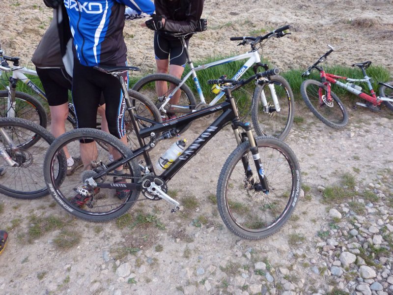 canyon |
